Elevation of Mountain View, HI, USA
Location: United States > Hawaii > Hawaii County >
Longitude: -155.1080556
Latitude: 19.5558333
Elevation: 437m / 1434feet
Barometric Pressure: 0KPa
Related Photos:
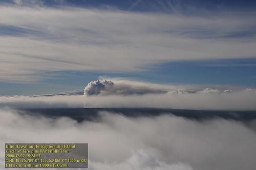
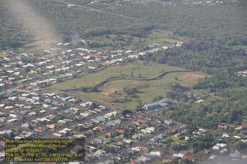
HW7428VF2_4929.JPG
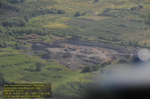
HW6981VF2_4482.JPG

16-2108 IO KEA RD MOUNTAIN VIEW, HI 96771
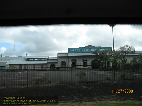
HW4394IMG_1757 Akatsuka Orchid Gardens.JPG

Kilauea Volcano lava threatens Pāhoa, Hawaii

Sunup on a snowy Mauna Kea from Mountain View B&B, Hawaii
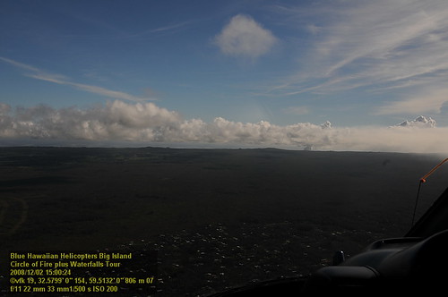
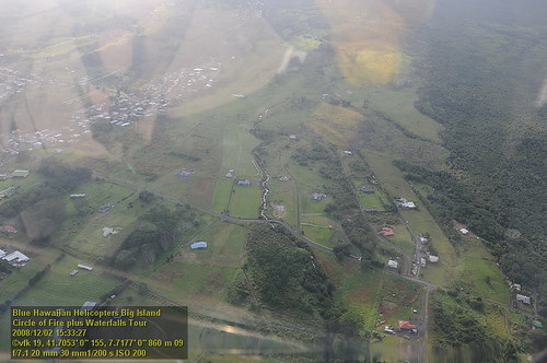
HW7001VF2_4502.JPG
HW7008VF2_4509.JPG
HW7007VF2_4508.JPG
HW7022VF2_4523.JPG
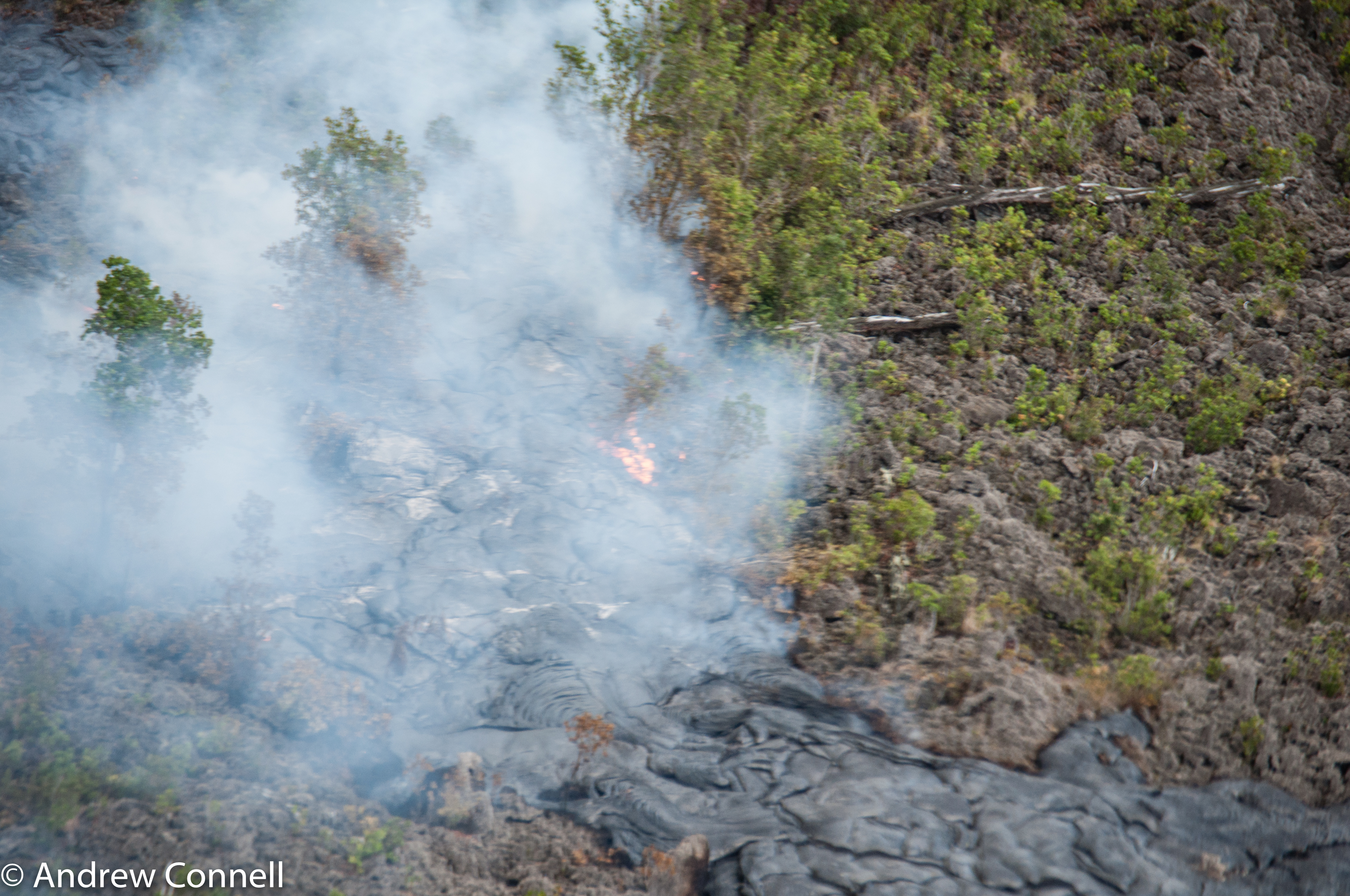
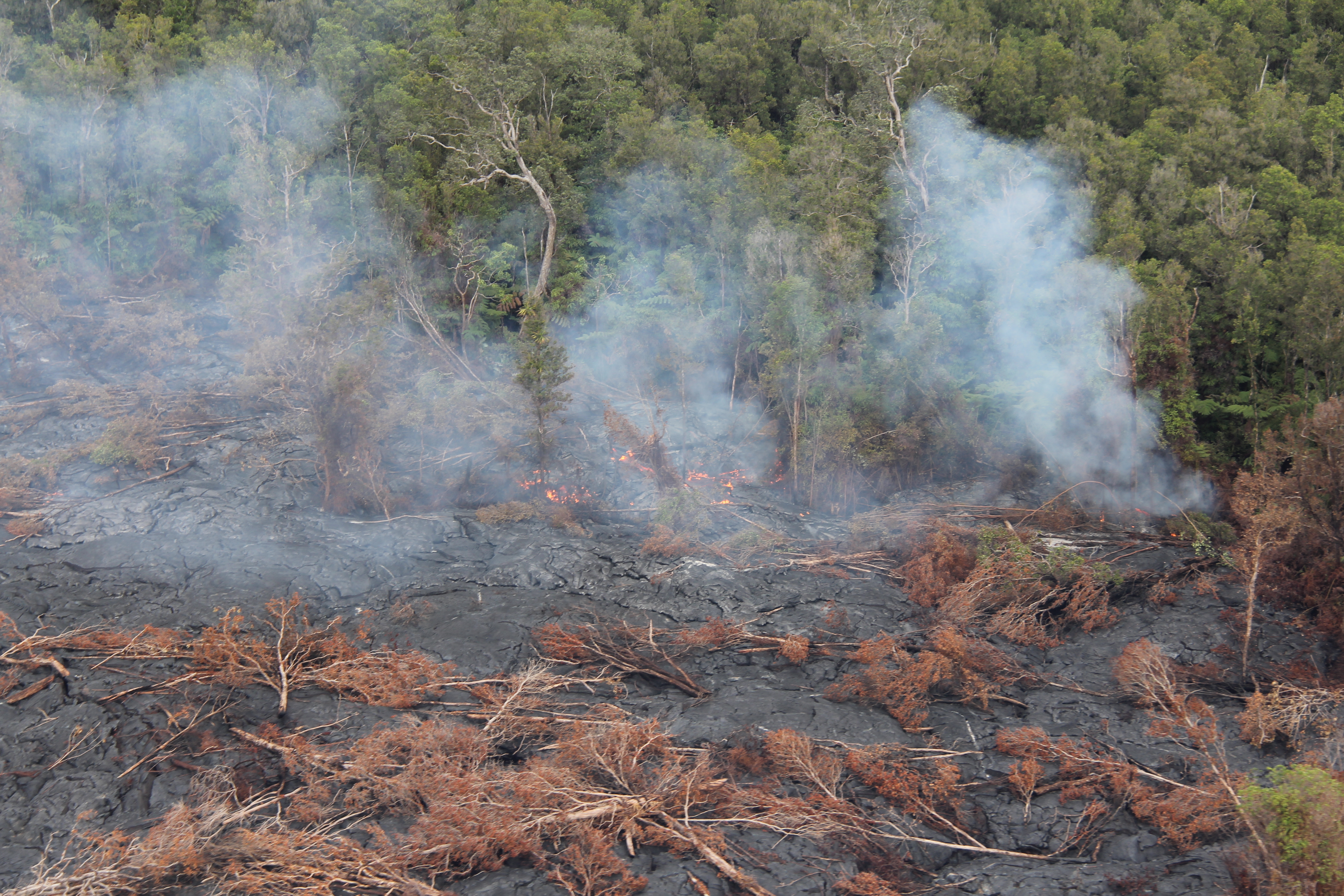
The current active lava flow as it moves into a forest. It's moved 2 miles in the last 8 months.
HW7481VF2_4982.JPG
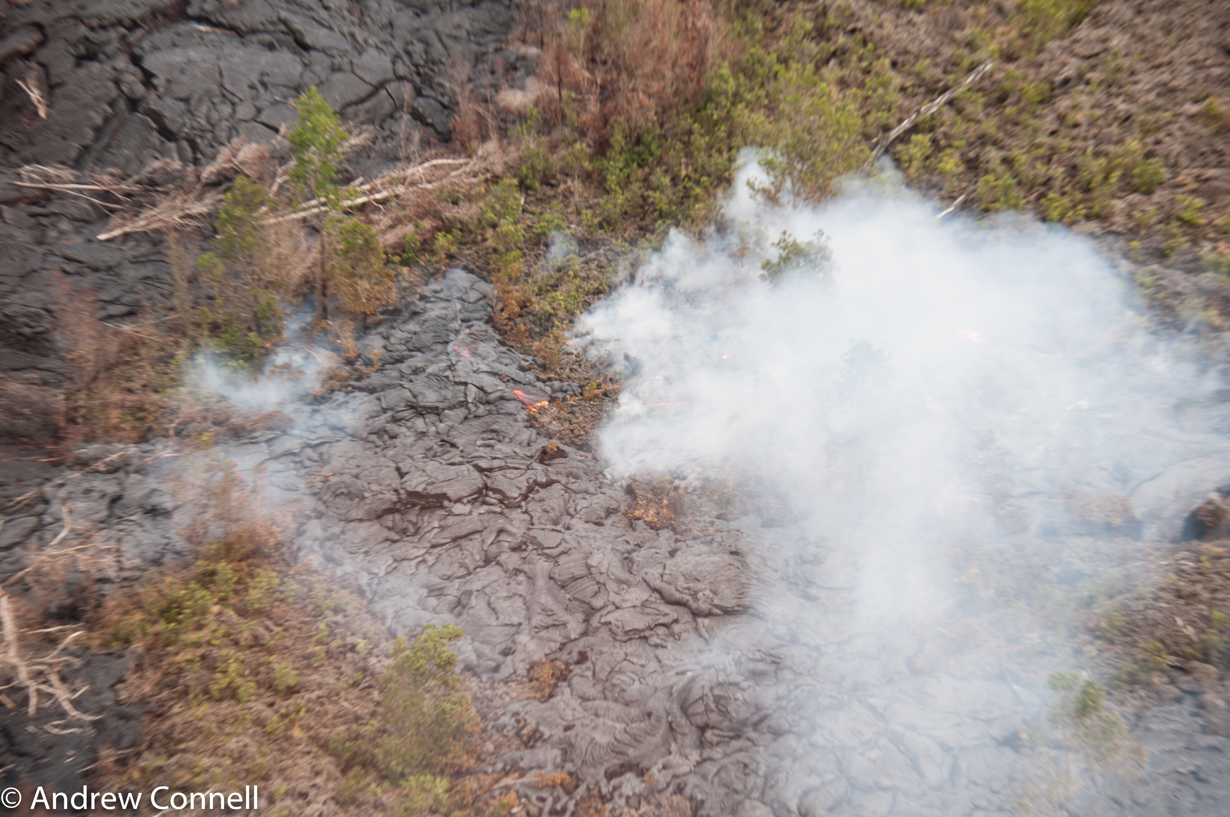
The current active lava flow as it moves into a forest. It's moved 2 miles in the last 8 months.
HW7480VF2_4981.JPG

Tiny cave spider
HW7493VF2_4994.JPG

Palm Frond at dawn, Hawaii

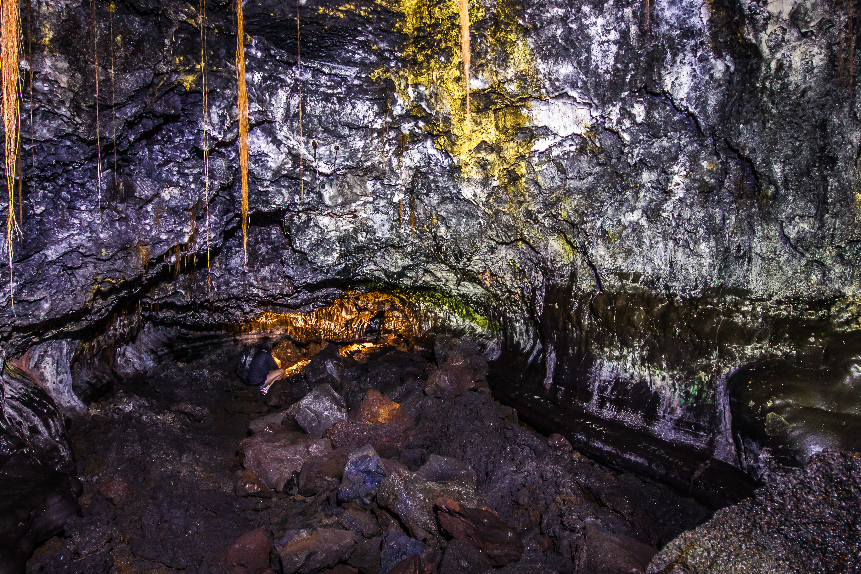
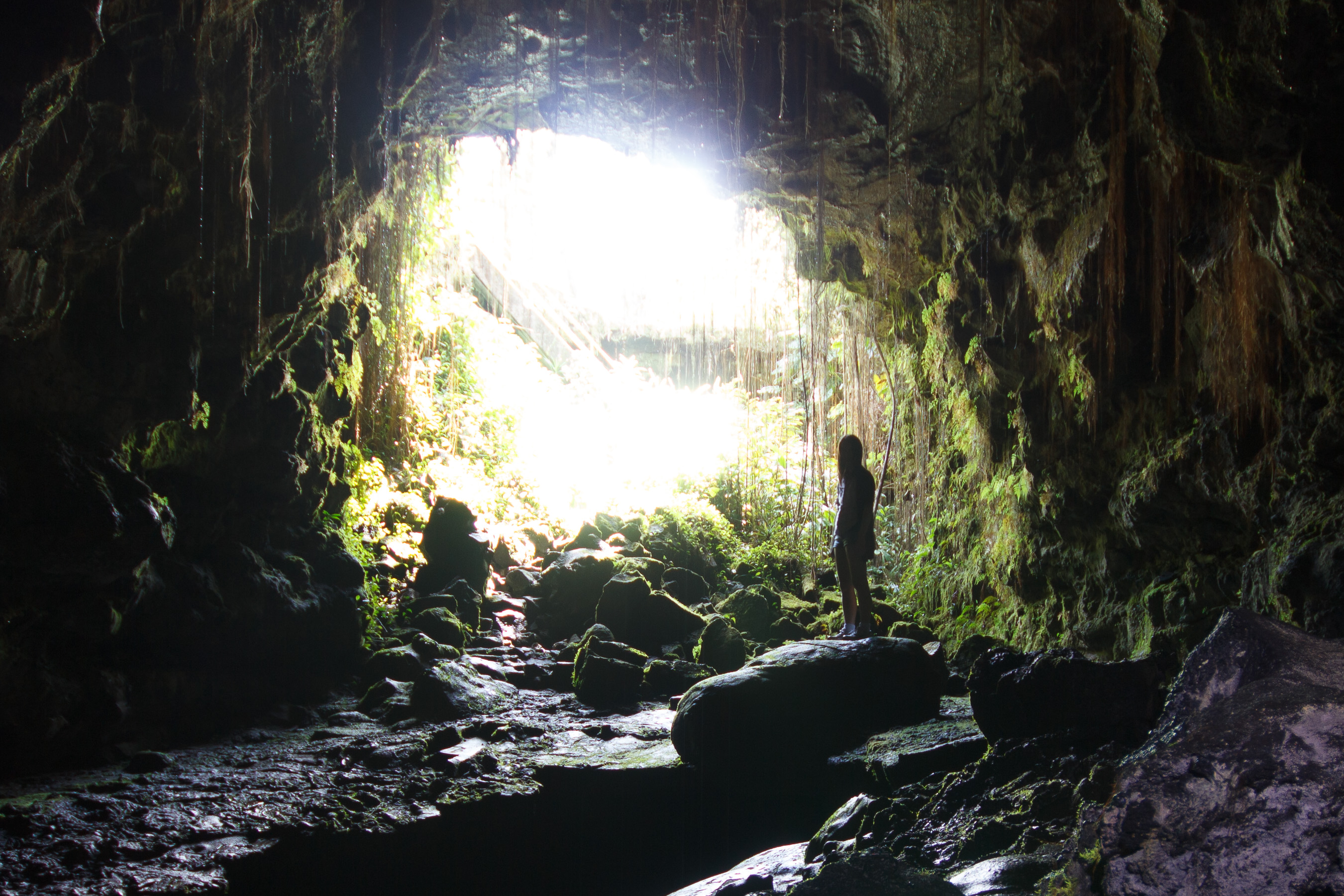
view from inside lava tube
HW7490VF2_4991.JPG
HW7496VF2_4997.JPG

HW6990VF2_4491.JPG
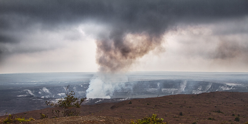
Kilauea Volcano
20130321-IMG_9974

⛅️

Sun & Cloud

Hawaii, Big Island - 3

Hawaii, Big Island - 2

Hawaii, Big Island - 2

Hawaii Volcanoes National Park
20130321-IMG_9979

Kaumana Cave

Hawaii, HI - Nani Mau Gardens
Hawaii 2011
puu-oo-2015d.jpg

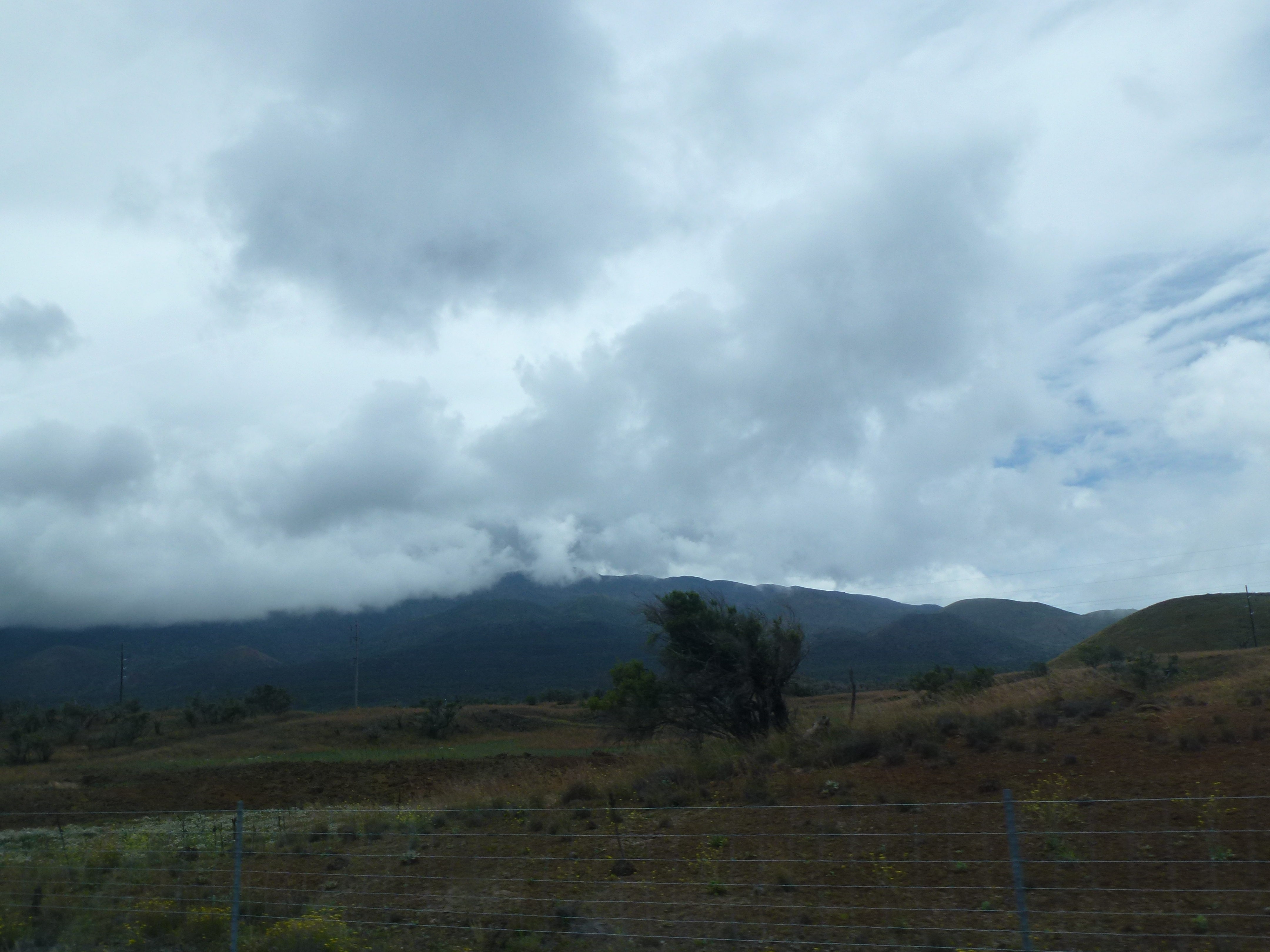
Low clouds

Hilo-2
Hilo Coffee Mill
Kaumana Cave
tiny person big cave
Topographic Map of Mountain View, HI, USA
Find elevation by address:

Places in Mountain View, HI, USA:
Discovery Harbor
11-3725 Old Volcano Rd
18-4362 N Peck Rd
18-7841 Peleke Rd
18-4288 Lehuanani St
18-4160 N Glenwood Rd
99-7818 Kanawao Pl
Ohialani Road
Hopue Road
Uahi Road
11-3406 Plumeria St
99 Popohau Pl
11-3490 Plumeria St
Plumeria Street
96749 3 Rd
3 N Kulani Rd
Luna Ikena Road
Omega Road
Lehuanani Street
11-2859 Pikake St
11-1759 Alapua St
92-8377 Lurline Ln
Omeka Road
St Theresa Catholic Church
Omeka Road
North Glenwood Road
18-1769 Ihope Rd
99-280 Painiu Pl
17-4137 Kukui Camp Rd
18-1425 Ihope Rd
18-4211 Lehuanani St
Omeka Road
18-3866 S Oshiro Rd
18-4098 Haumalu St
18-1391 Ihope Rd
17-8157 N Kulani Rd
16-1071 Opeapea Rd #4855
11-3436 Plumeria St #6291
11-3192
Hibiscus Street
11-2991
17-4568 Huina Rd #19
17 Kukui Camp Rd
11-1796 Alani St
96760 Mountain View Pl
18-4604 Palm Tree Dr
17-4047 Enos Rd
11-2419 Omeka Rd
11-2896 Plumeria St
94-2176 S Point Rd
11-2980 Plumeria St
Ihope Road
Hibiscus Street
Glenwood
18-4259 N Pszyk Rd #121d
Road 1 Uhini Ana
Road 1 Uhini Ana
Ihope Place
18-4259 N Pszyk Rd #121d
18-1803 Hui St
16-1510 Uhini Ana Rd
11-3064 Lehua St
16-1755 Ooaa Rd
18 Awapuhi Nani Rd
11-3342 Plumeria St
11-1760 Alapua St
18-2045 Mahena St
96-900
11-3490 Plumeria St
North Kulani Road
Punalu‘u Beach
11-3318 Hibiscus St
18-2012 Ohia Nani
Palm Tree Drive
17-4175
16-1315 Opeapea Rd
South Kopua Road
18-4069 N Glenwood Rd
16-1449 Ooaa Rd
16-1146 Hopue Rd
18-4182 N Peck Rd
18-1344 Old Volcano Rd
Kīlauea Visitor Center
Road 5 & Uau Road
94-6381
16-1253 Opeapea Rd
18-4636 Mokehana
Road 5 & Uau Road
94-6419 Palaoa Loop
16-1213 Uhini Ana Rd
16-1458 A O Rd
11-3535 Pikake St
12 N Glenwood Rd
17-4707 S Rd
18-1391 Ihope Rd Lot 12-a
12 N Glenwood Rd
17-7934 N Kulani Rd
92-2930 Island Blvd
16-1256 Uhini Ana Rd
18-3836 S Pszyk Rd
92-8403 Bamboo Ln
92-8778 Plumeria Ln
94-6419 Palaoa Loop
92-8898 Bamboo Ln
11-3022 Pikake St
92-8378 Tiki Ln
11-2933 Kaleponi Rd
92-2526 Palm Pkwy
92-1967 Palm Pkwy
92-8672 Bamboo Ln
19-4705 Amaumau Rd
92-2220 Oceanview Pkwy
18-4636 Mokihana St
17-4032 Enos Rd
11-1871 Moano St
18-1260 Ihope Rd
18-7854 Leonaka Rd
17-4807 N Rd
18-1373 Nichols Rd
16-1496 Moho Rd
16-1896 Uau Rd
16-1275 Opeapea Rd
16-1275 Opeapea Rd
16-1275 Opeapea Rd
95-1117
19-3972 Volcano Rd
North Glenwood Road
18-4182 N Peck Rd
11-1860 Alapua St
North Glenwood Road
16-1369 Hopue Rd
11-2523 Omeka Rd
18-4326 N Glenwood Rd
18-4259 N Pszyk Rd #121d
16-1690 A O Rd
11-3346 Palainui Ave
Places near Mountain View, HI, USA:
18-7841 Peleke Rd
18-7854 Leonaka Rd
17-4047 Enos Rd
18-4259 N Pszyk Rd #121d
18-4259 N Pszyk Rd #121d
18-4259 N Pszyk Rd #121d
17-4032 Enos Rd
17-7934 N Kulani Rd
North Kulani Road
17 Kukui Camp Rd
17-4137 Kukui Camp Rd
17-4175
17-4707 S Rd
17-4707 S Rd
3 N Kulani Rd
17-4517 Huina Rd
17-4511 Huina Rd
17-4568 Huina Rd #19
17-4514 Huina Rd
17-4807 N Rd
Recent Searches:
- Elevation map of Greenland, Greenland
- Elevation of Sullivan Hill, New York, New York, 10002, USA
- Elevation of Morehead Road, Withrow Downs, Charlotte, Mecklenburg County, North Carolina, 28262, USA
- Elevation of 2800, Morehead Road, Withrow Downs, Charlotte, Mecklenburg County, North Carolina, 28262, USA
- Elevation of Yangbi Yi Autonomous County, Yunnan, China
- Elevation of Pingpo, Yangbi Yi Autonomous County, Yunnan, China
- Elevation of Mount Malong, Pingpo, Yangbi Yi Autonomous County, Yunnan, China
- Elevation map of Yongping County, Yunnan, China
- Elevation of North 8th Street, Palatka, Putnam County, Florida, 32177, USA
- Elevation of 107, Big Apple Road, East Palatka, Putnam County, Florida, 32131, USA
- Elevation of Jiezi, Chongzhou City, Sichuan, China
- Elevation of Chongzhou City, Sichuan, China
- Elevation of Huaiyuan, Chongzhou City, Sichuan, China
- Elevation of Qingxia, Chengdu, Sichuan, China
- Elevation of Corso Fratelli Cairoli, 35, Macerata MC, Italy
- Elevation of Tallevast Rd, Sarasota, FL, USA
- Elevation of 4th St E, Sonoma, CA, USA
- Elevation of Black Hollow Rd, Pennsdale, PA, USA
- Elevation of Oakland Ave, Williamsport, PA, USA
- Elevation of Pedrógão Grande, Portugal