Elevation of 11- Plumeria St, Kurtistown, HI, USA
Location: United States > Hawaii > Hawaii County > Mountain View >
Longitude: -155.08279
Latitude: 19.535163
Elevation: 416m / 1365feet
Barometric Pressure: 96KPa
Elevation Map:
Satellite Map:
Related Photos:
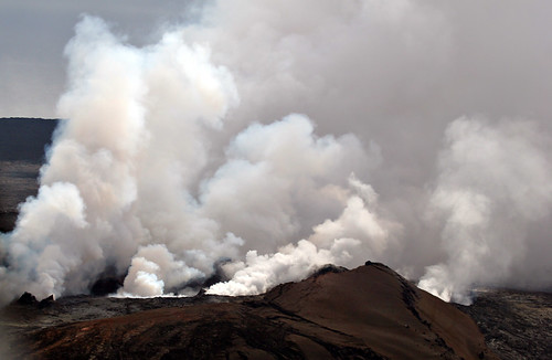
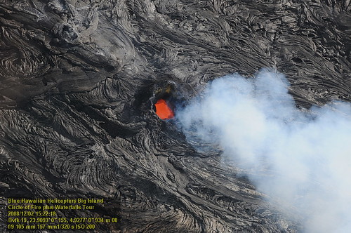
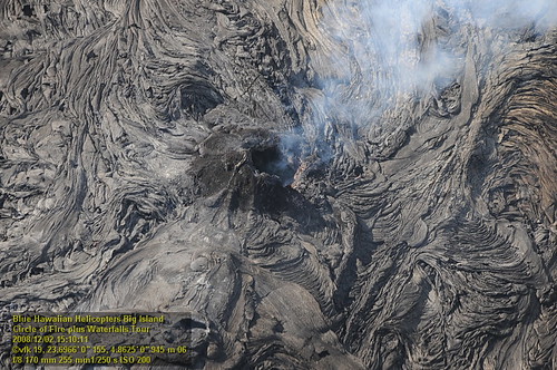
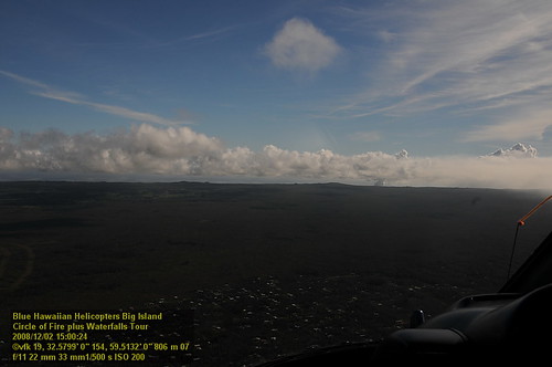
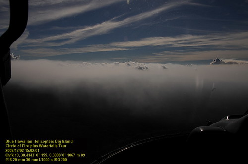
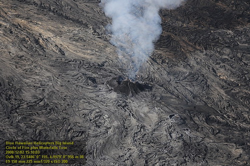
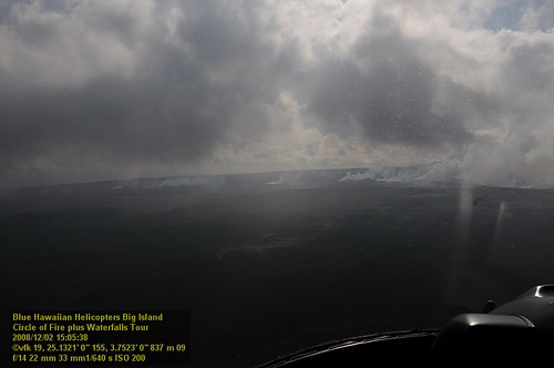
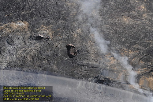
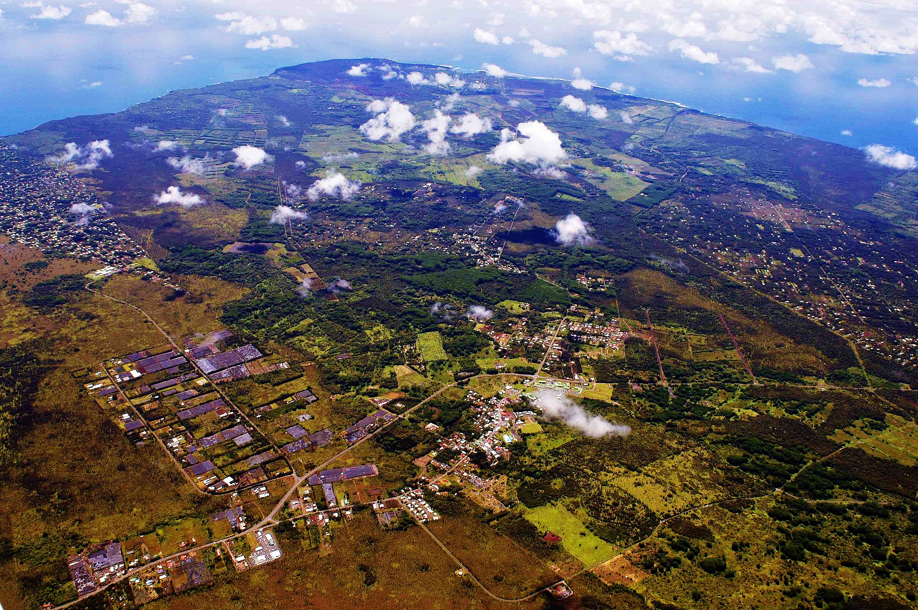
Mount Kilauea Volcano 2560
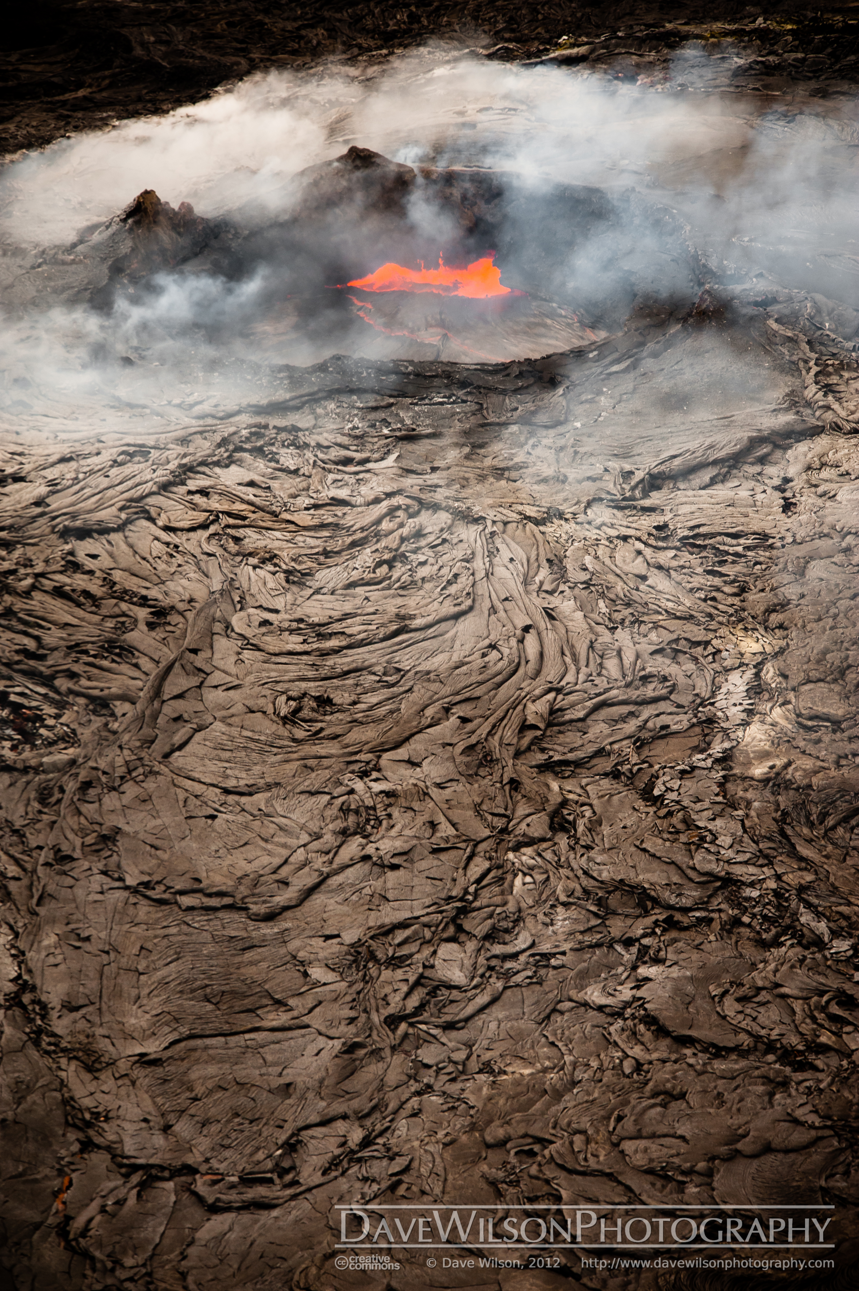
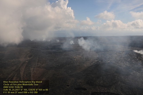
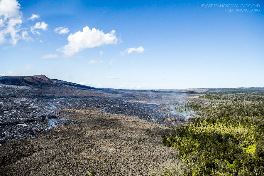
Kilauea Crater and Lava Flow

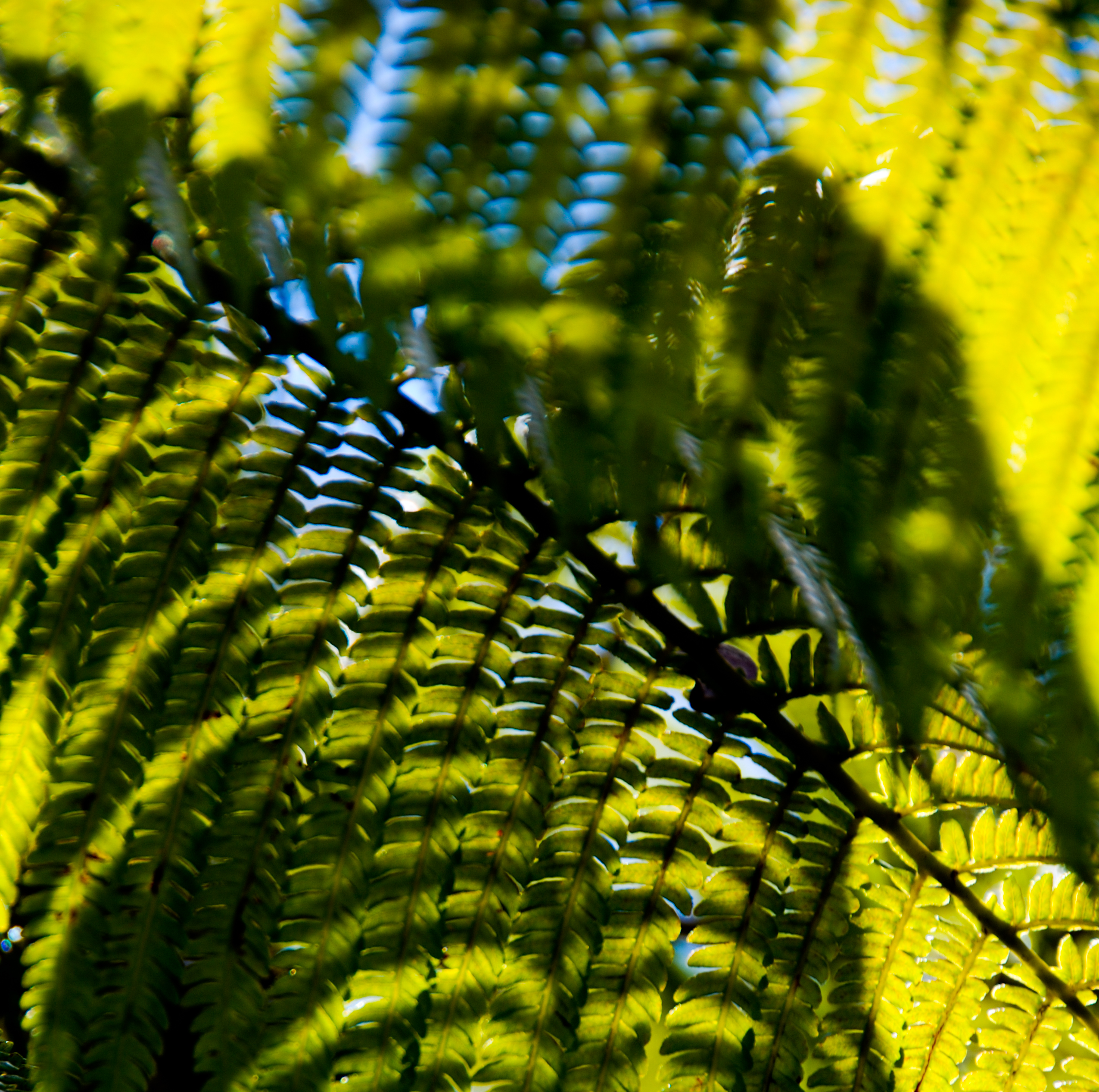
Palm Frond at dawn, Hawaii
HW7155VF2_4656.JPG

Sunup on a snowy Mauna Kea from Mountain View B&B, Hawaii
HW7428VF2_4929.JPG
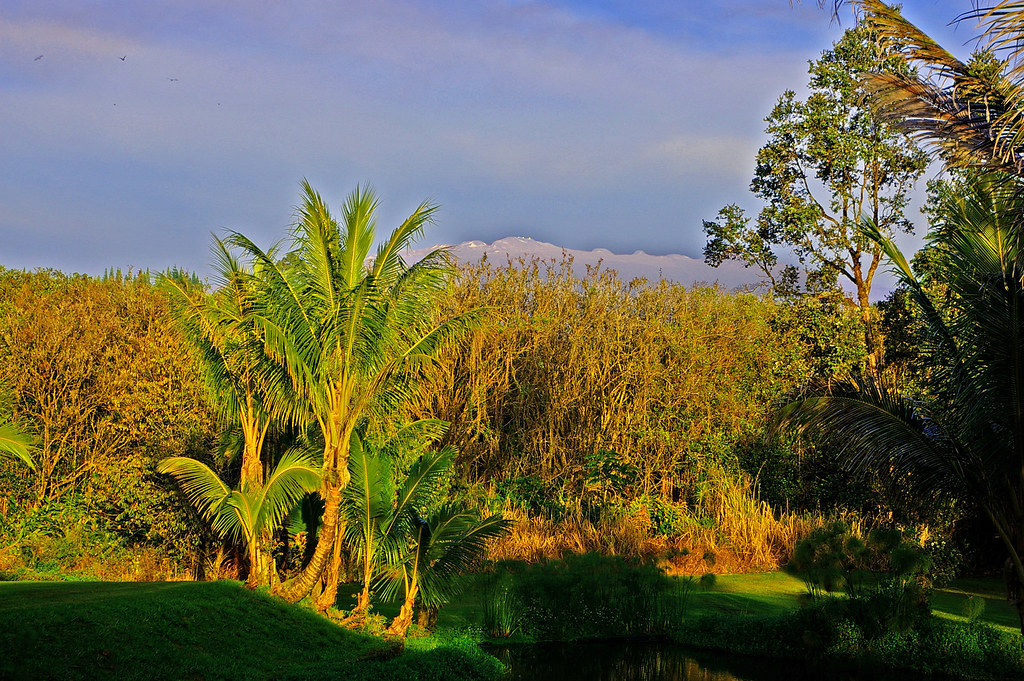
Mauna Kea in early morning light from Mountain View, Hawaii
HW7033VF2_4534.JPG
HW6981VF2_4482.JPG
HW7401VF2_4902.JPG
HW7404VF2_4905.JPG
HW7151VF2_4652.JPG
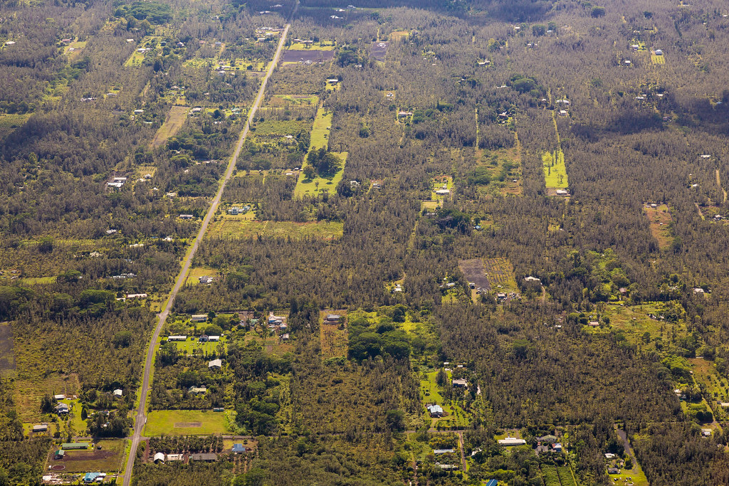
Hawaiian Paradise Park
HW7135VF2_4636.JPG

Oblique view, Kurtistown Jōdo Mission
HW7001VF2_4502.JPG
HW7008VF2_4509.JPG
HW7145VF2_4646.JPG
HW7022VF2_4523.JPG
HW7391VF2_4892.JPG
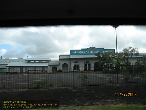
HW4394IMG_1757 Akatsuka Orchid Gardens.JPG

Hawaii, Big Island - 2

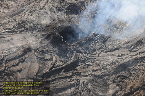
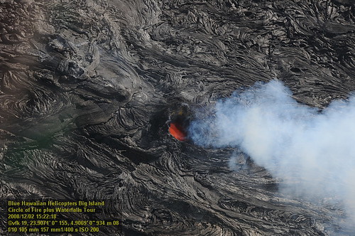
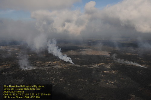
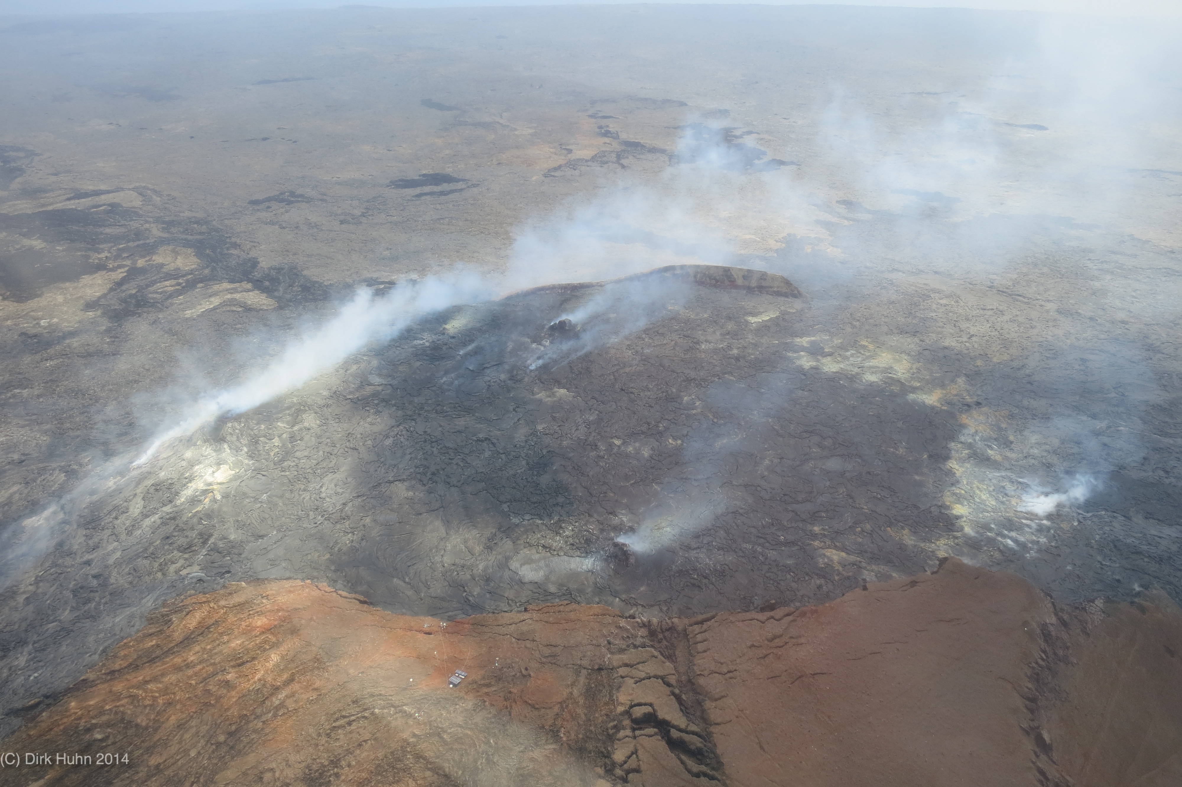
Pu'u O'o
a break in the rain #BigIsland #Hawaii (at Pahoa, Hawaii)
it’s been a solid 2013; looking forward to an even better 2014 for the #HawaiiTechWorks community
2006: Pahoa and Puna, Hawai'i - In the path of Kilauea Volcano lava

Hawaii, Big Island - 3

⛅️

God Beams

Hawaii, Big Island - 2
Hilo-2

Sun & Cloud
0064-Big Island 2014-IMG_2525
Pu'u 'O'o lava flows burning vegetation in the Kahaualea Natural Area Reserve
Vibrations blurred photo
Hike to Shipman Beach (a0005027)

Hawaii, HI - Nani Mau Gardens
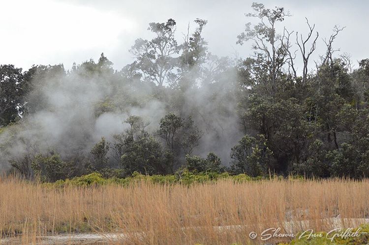
Hawai'i Volcanoes National Park Steam Vents #Hawaii #SteamVents #VolcanoesNationalPark
Topographic Map of 11- Plumeria St, Kurtistown, HI, USA
Find elevation by address:

Places near 11- Plumeria St, Kurtistown, HI, USA:
11-3490 Plumeria St
11-3436 Plumeria St #6291
11-3406 Plumeria St
11-3388 Plumeria St
16-1458 A O Rd
16-1510 Uhini Ana Rd
11-3342 Plumeria St
Plumeria Street
16-1369 Hopue Rd
Road 1 Uhini Ana
16 4 Rd
16 4 Rd
16 4 Rd
4 Road
Hopue Road
16-1146 Hopue Rd
4 Road
11-3192
Fern Acres
16-1690 A O Rd
Recent Searches:
- Elevation of Corso Fratelli Cairoli, 35, Macerata MC, Italy
- Elevation of Tallevast Rd, Sarasota, FL, USA
- Elevation of 4th St E, Sonoma, CA, USA
- Elevation of Black Hollow Rd, Pennsdale, PA, USA
- Elevation of Oakland Ave, Williamsport, PA, USA
- Elevation of Pedrógão Grande, Portugal
- Elevation of Klee Dr, Martinsburg, WV, USA
- Elevation of Via Roma, Pieranica CR, Italy
- Elevation of Tavkvetili Mountain, Georgia
- Elevation of Hartfords Bluff Cir, Mt Pleasant, SC, USA