Elevation of Mountain Rd, Bristol, VT, USA
Location: United States > Vermont > Addison County > Monkton >

Longitude: -73.099924

Latitude: 44.2302279

Elevation: 170m / 558feet

Barometric Pressure: 99KPa

Elevation Map:

elevation map of Mountain Rd, Bristol, VT, USA

Satellite Map:

Satellite map of Mountain Rd, Bristol, VT, USA
Related Photos:

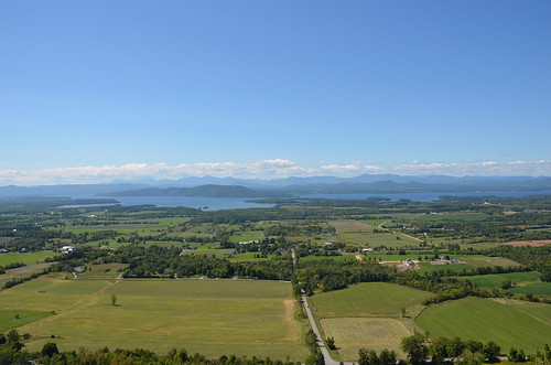
favorite vermont day charlotte clear lakechamplain mountphilo mtphilo vermontstateparks mountphilostatepark mtphilostatepark
Land, lake, and mountains
usa brick architecture vermont newhaven 1978 vt railroadstation 1868 nationalregisterofhistoricplaces gableroof nrhp greenmountainstate addisoncounty cornicebrackets origamidon donshall decorativebrickwork newhavenvermontusa roundarchwindow vsrhp distinctivechimney 112stories junctiondepot roundtreeconstruction 78000226 vermontstateregisterhistoricplaces
New Haven Junction Depot (1868) – west (roadside) view
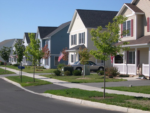
cluster streetscape singlefamily villagehousing
View of Village Housing and Streetscape on Fredric Way, Hinesburg VT
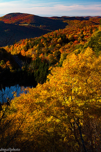
road autumn orange fall drive vermont newengland fallfoliage vt greenmountains scenicdrive appalachiangap
Ap Gap
trees landscape water lake woods vermont waitsfield mad river vt btv usa nature outside nikon nikkor d7000 70300vr
A View From Above
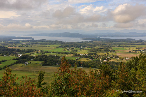
newengland vermont chittendencounty parks stateparks vtstateparks lakesandponds lakechamplain mountainviews rural barns fields cloudyskies september2017 september 2017 canon24704l
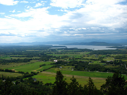
View from Mount Philo
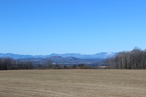
adirondack landscape mountain nature newyorkstate unitedstates upstate us usa 500px licensed dreamstime shutterstock shutter
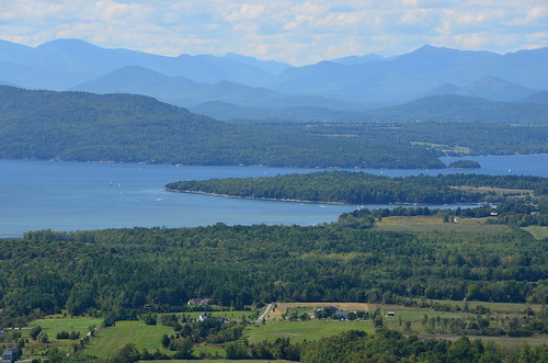
Adirondack mountains viewed from Vermont
waterfall vermont fallsoflana caonxsi
Falls of Lana
starksboro vermont unitedstates us
Appalachian Gap
park trees cloud lake tree nature clouds vermont mt view state charlotte hike trail champlain vt philo
Hiking 090610 23
favorite vermont charlotte lakechamplain mountphilo mtphilo vermontstateparks mountphilostatepark mtphilostatepark
Blue in green
park trees cloud lake tree nature clouds vermont mt view state charlotte hike trail champlain vt philo
Hiking 090610 22
burlington vermont route7 mtphilo
mt philo panorama
vermont unitedstates starksboro 2013100710vermontnewhampshire
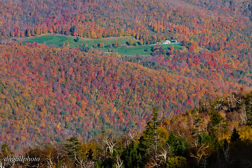
Farm amidst the Color
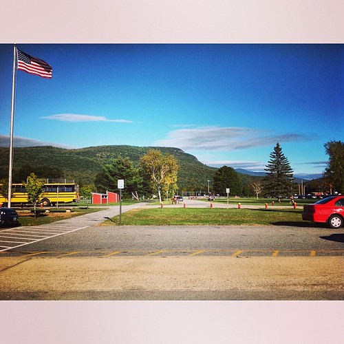
square squareformat mayfair iphoneography instagramapp uploaded:by=instagram foursquare:venue=4bf492f094af2d7fd3d13a72
The high school has a nice view.
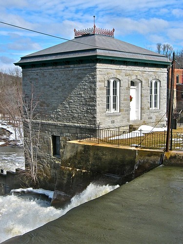
usa water square vermont falls waterfalls sq pumphouse vt 1874 waterpower vergennes hiproof dressedstone 1story italianatestyle addisoncounty ironcresting origamidon donshall bellcast beltcourse vergennesvermontusa labellintels
Pumphouse (1874) - view from below the Vergennes Falls
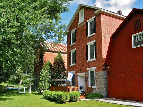
usa brick architecture vermont warehouse keystone distillery vt 1825 05491 nationalregisterofhistoricplaces vergennes gableroof nrhp federalstyle greenmountainstate addisoncounty origamidon donshall gablefan vergennesvermontusa 212stories vermontstateregisterofhistoricplaces vsrhp vermontdivisionofhistoricpreservation 76000136 vdhp vergenneshistoricdistrict 09031976 macdonoughdrive
Distillery [right] and Warehouse [left] (c.1825) – backside view
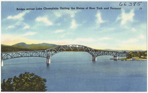
vermont newengland postcards tichnorbrothers dc:identifier=0610002200
Bridge across Lake Champlain, uniting the states of New York and Vermont
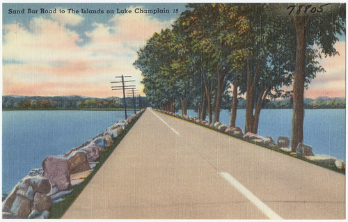
vermont newengland postcards tichnorbrothers dc:identifier=0610002121
Sandy Bar Road to the islands on Lake Champlain
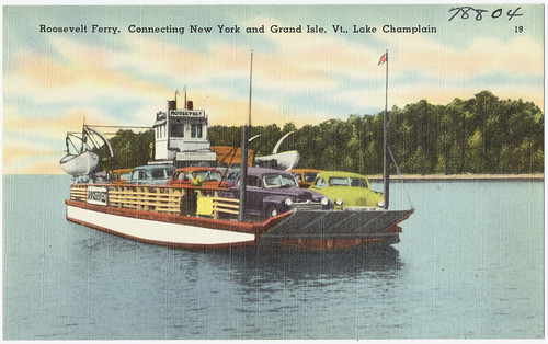
vermont newengland postcards tichnorbrothers dc:identifier=0610002120
Roosevelt Ferry, connecting New York and Grand Isle, Vt., Lake Champlain
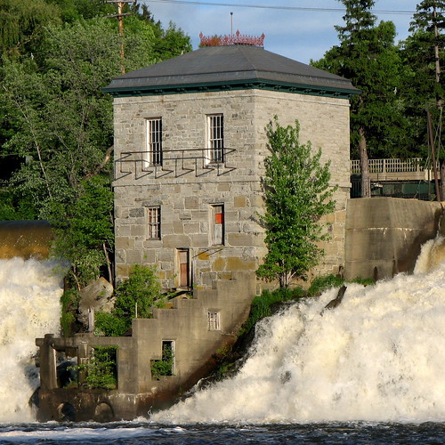
usa water vermont falls waterfalls pumphouse vt 1874 waterpower vergennes hiproof dressedstone 1story italianatestyle addisoncounty ironcresting origamidon donshall bellcast beltcourse vergennesvermontusa labellintels
Pumphouse (1874) - view from above the Vergennes Falls
barn rural landscape vermont farm addison addisoncounty
Rural Life
vermont route17 buelsgore newengland
Moser's Folly
autumn fall nikon vermont d70s newengland foliage vt 18200vr lpautumn2
Vermont - Foliage
Road in Fall
autumn usa landscapes vermont fallfoliage autumninvermont ©2010josephmcousino vermontnatureandscenery
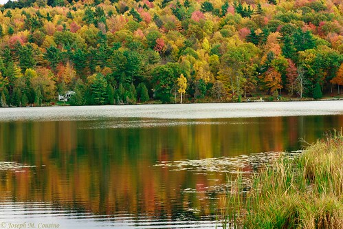
Cedar Lake - Monkton VT
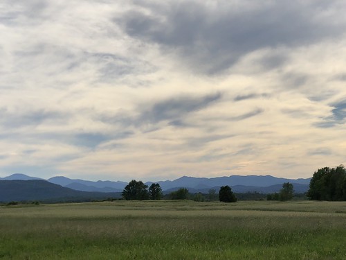
iphonex scenery trees outside outdoor outdoors nature newyorkstate lakechamplainvalley adirondacks mountains farm farmland vermont
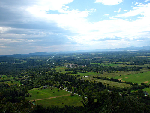
The Champlain Valley
square squareformat iphoneography instagramapp uploaded:by=instagram foursquare:venue=4e5944761495a891127cbdb6
Falls Park, Vergennes, #Vermont #blackandwhite #bw #fujifilm #fujix100s #x100s #square #landscape #landscapephotography #noir #noirlovers #river #water #flow
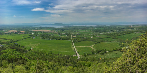
andygocher usa vt vermont landscape iphone 6s sky panorama lake champlain
Mt Philo panorama - Lake Champlain
snow barn landscape vermont charlotte
Snow for Christmas
vermont mono landscape ferrisburgh
the fields in winter
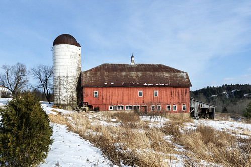
road red barn rural vermont barns monkton explored
Monkton Barn (Explored!)
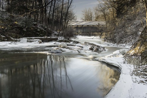
Seguin Covered Bridge
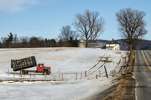
truck landscape vermont farm silo east monkton
back road
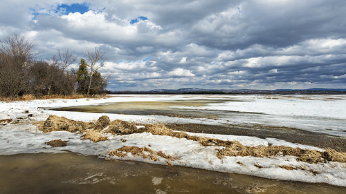
vt ferrisburgh
flooded field refreezing
trees winter blackandwhite bw usa film fog analog america landscape 50mm us vermont unitedstates noiretblanc tmax hasselblad northamerica wintertime greenmountains distagon
Orchard, Kingsland Bay, Vermont
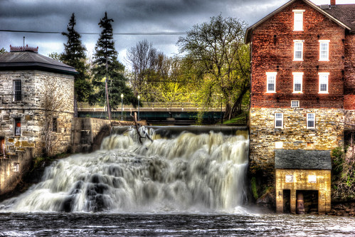
creek canon vermont falls otter hdr vt ottercreek vergennes t2i
Vergennes Falls
Freah Cut Corn