Elevation of Hidden Acres Drive, Lincoln, VT, USA
Location: United States > Vermont > Addison County > Lincoln >
Longitude: -73.096218
Latitude: 44.2349134
Elevation: 178m / 584feet
Barometric Pressure: 99KPa
Elevation Map:
Satellite Map:
Related Photos:

Falls of Lana
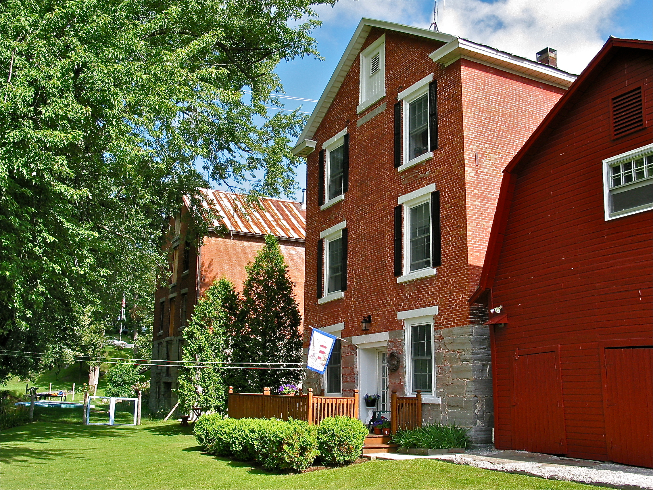
Distillery [right] and Warehouse [left] (c.1825) – backside view
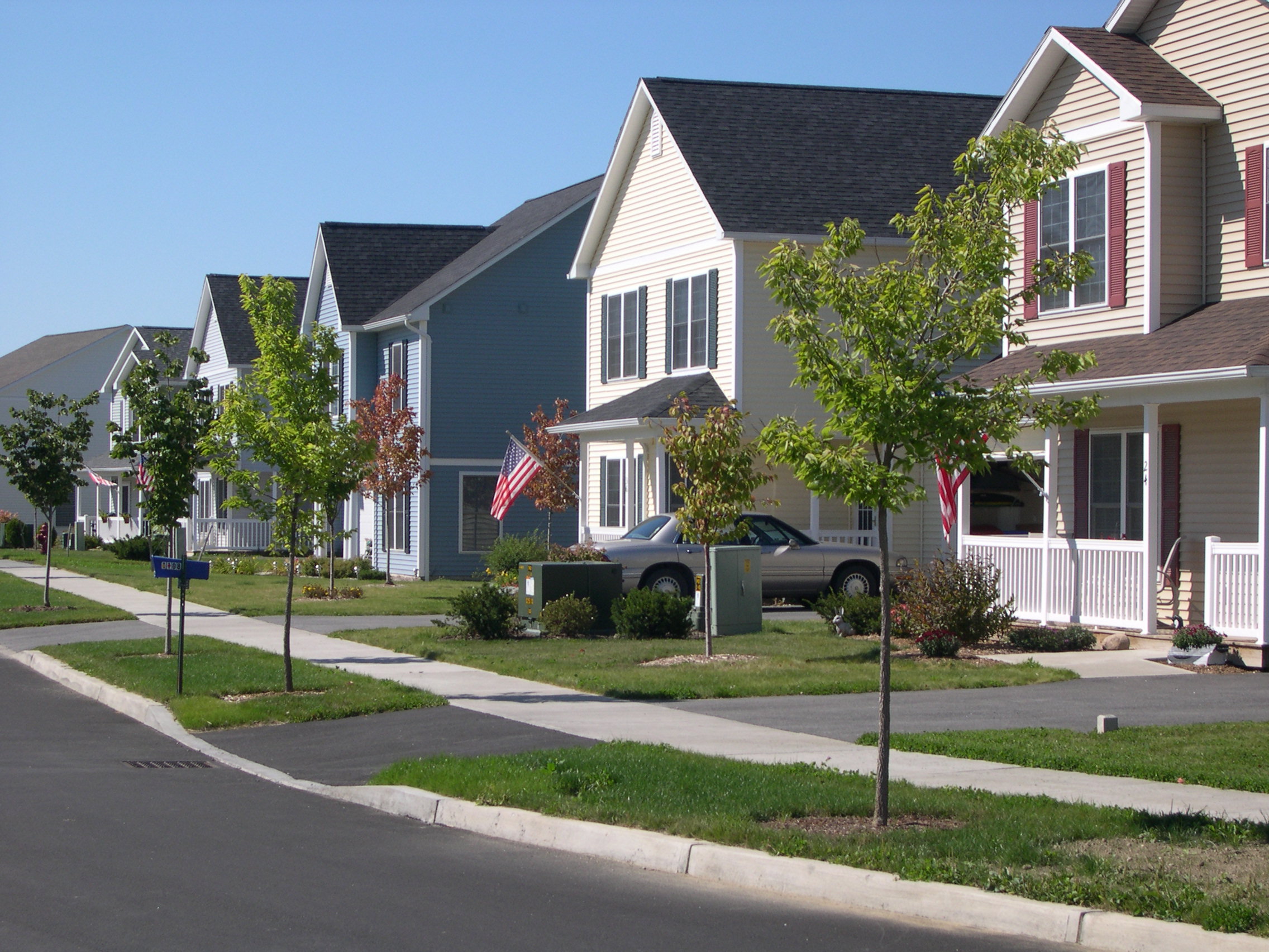
View of Village Housing and Streetscape on Fredric Way, Hinesburg VT

Ap Gap

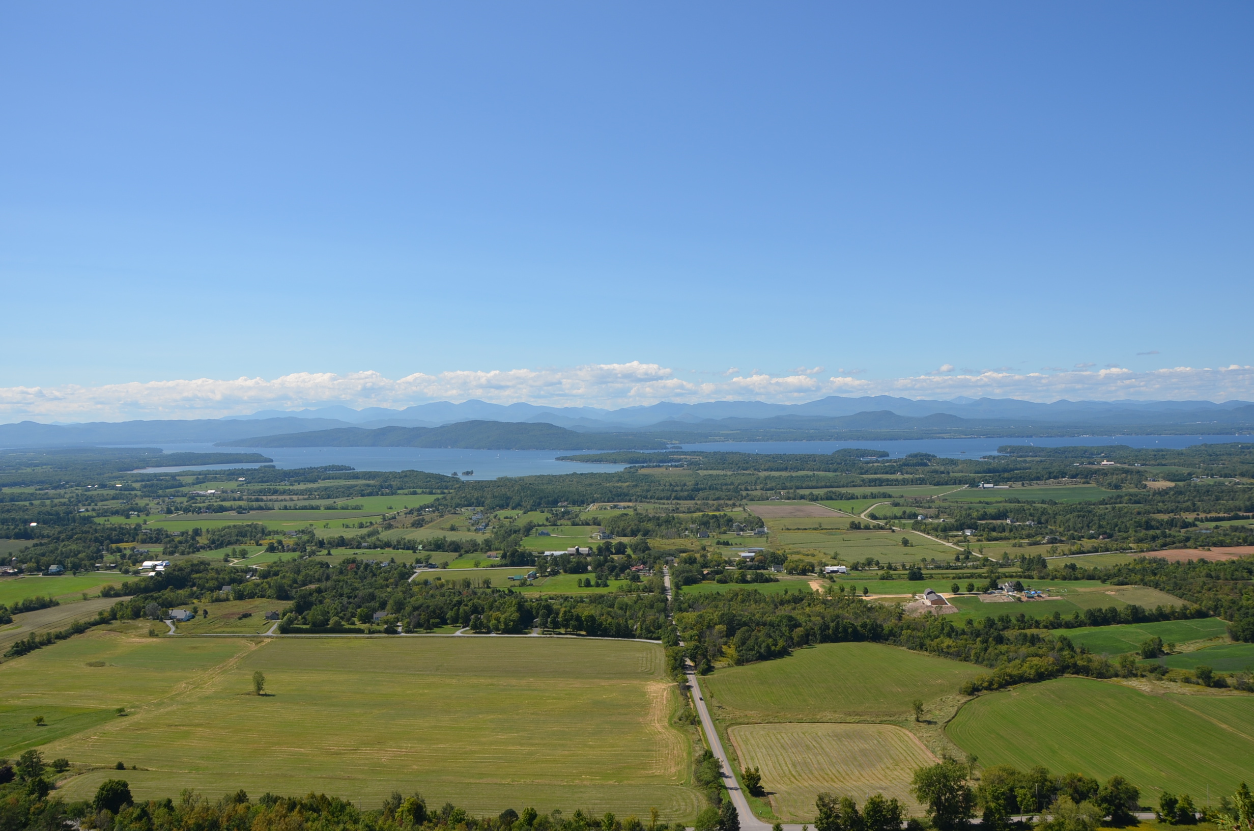
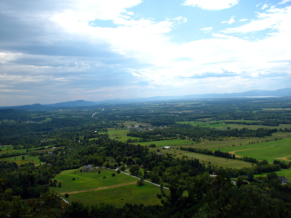
A View From Above

View from Mount Philo
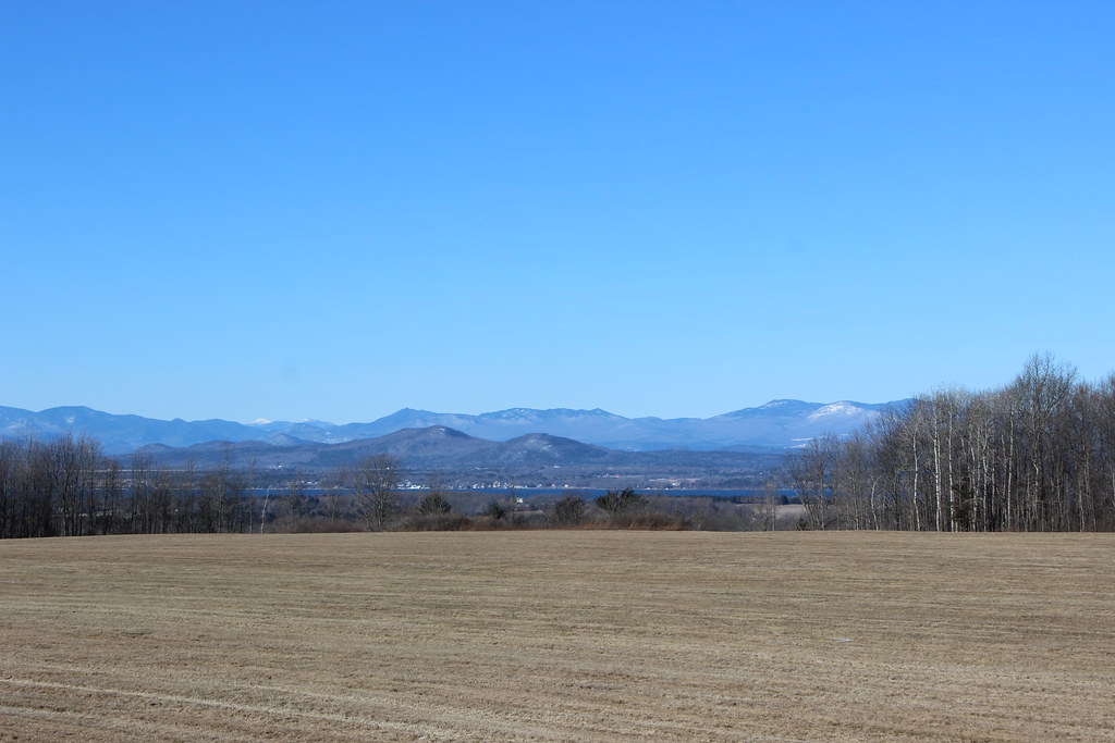
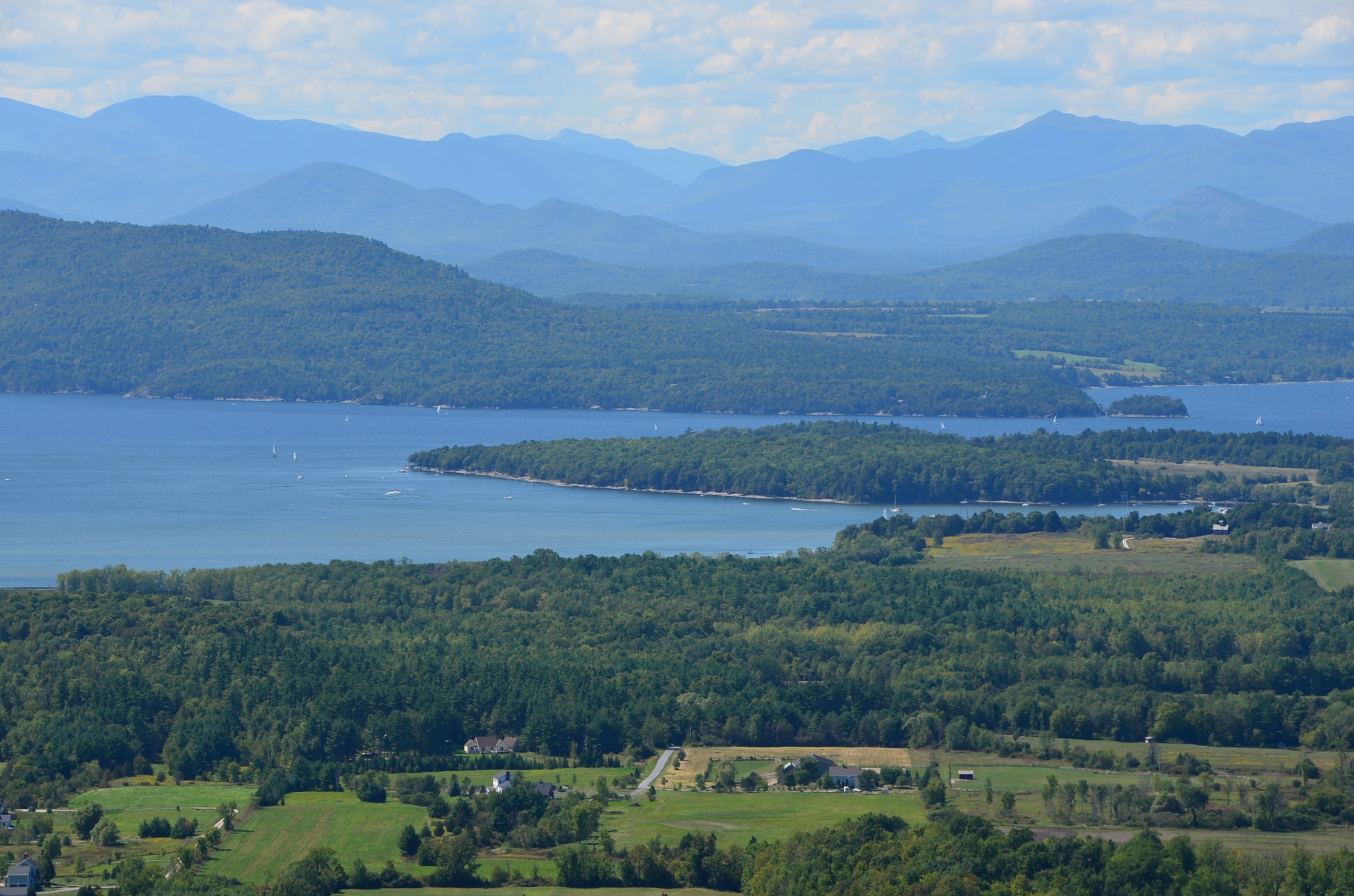
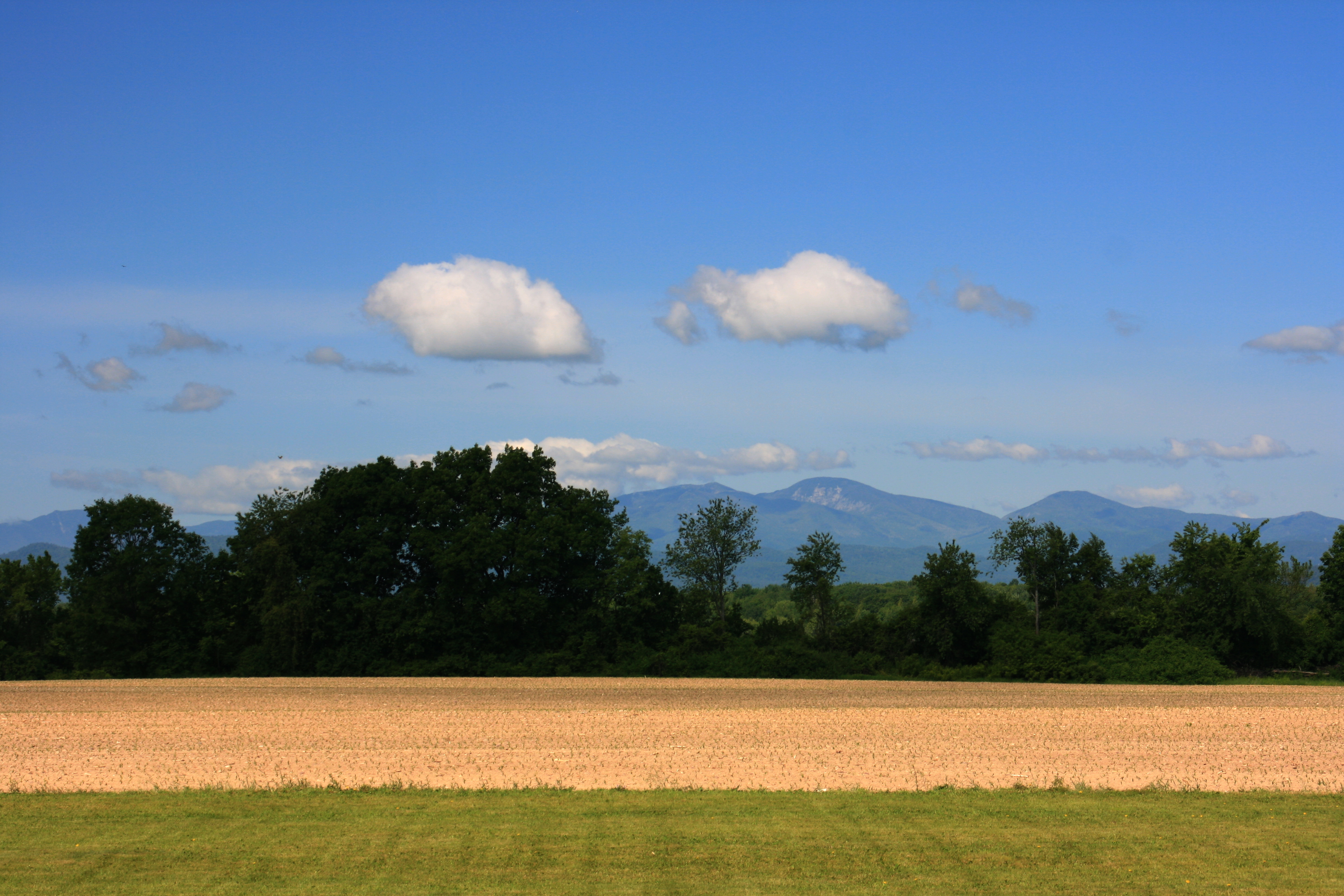
Adirondack mountains viewed from Vermont
Appalachian Gap
Land, lake, and mountains
Lake Iroquois
Hiking 090610 23
Blue in green
Hiking 090610 22

New Haven Junction Depot (1868) – west (roadside) view
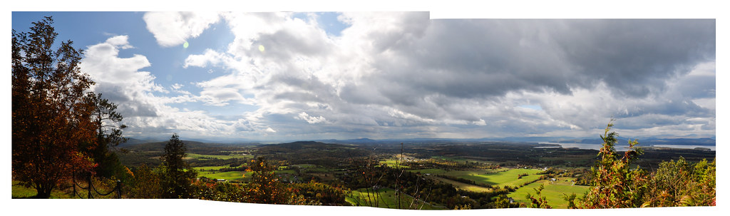
mt philo panorama

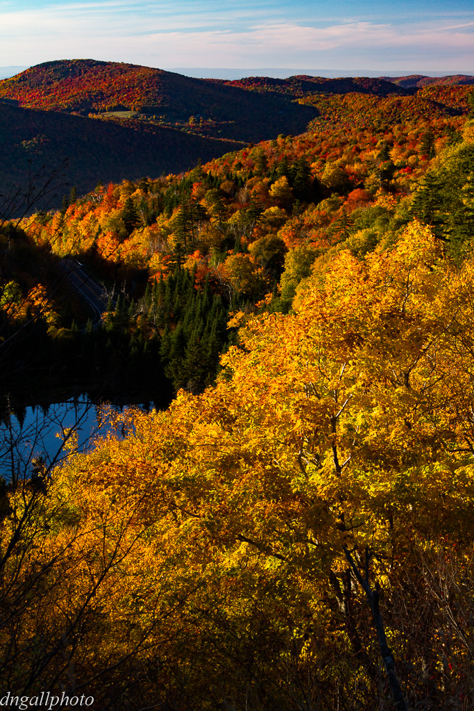
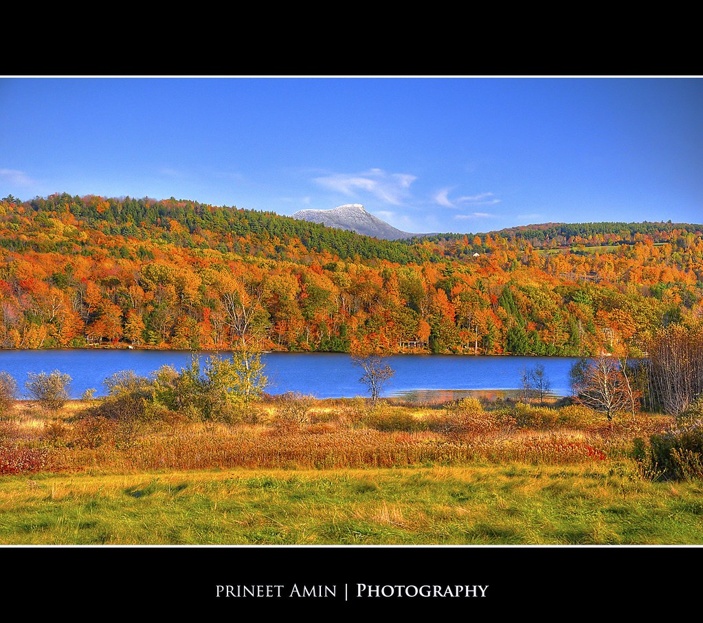
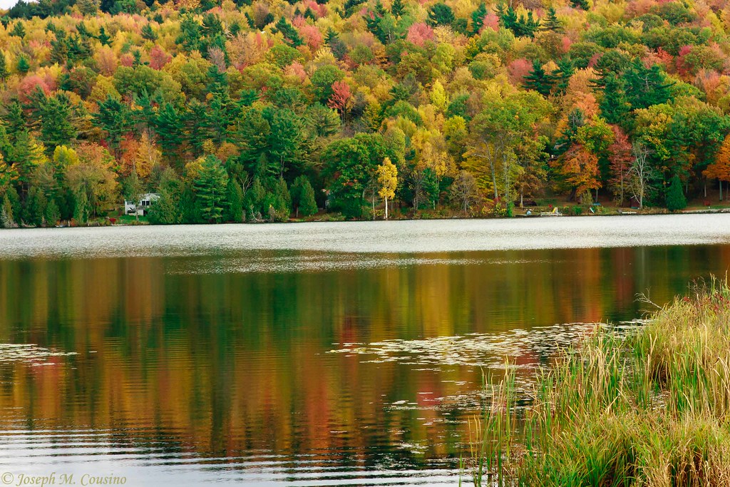
Farm amidst the Color
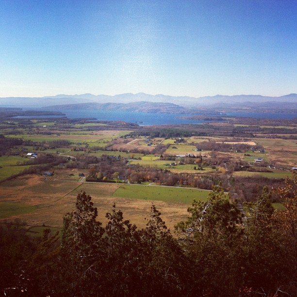
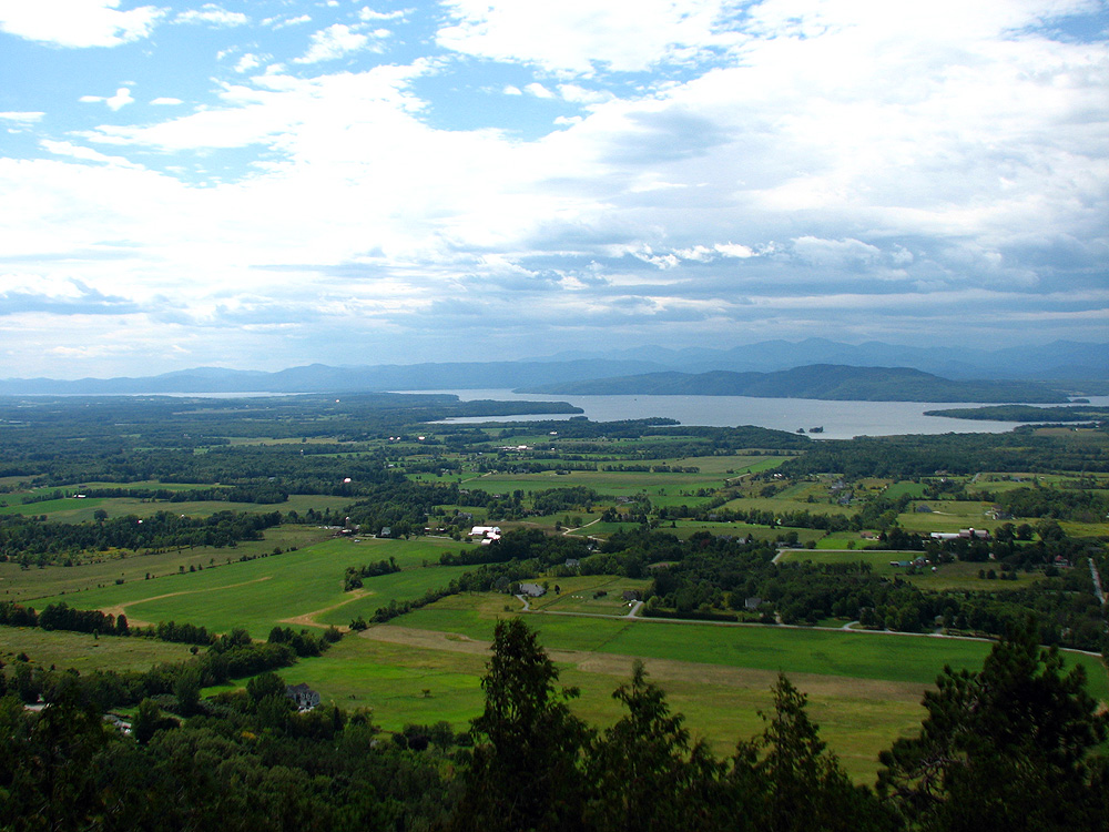
view from Philo summit

Abe or Ellen?
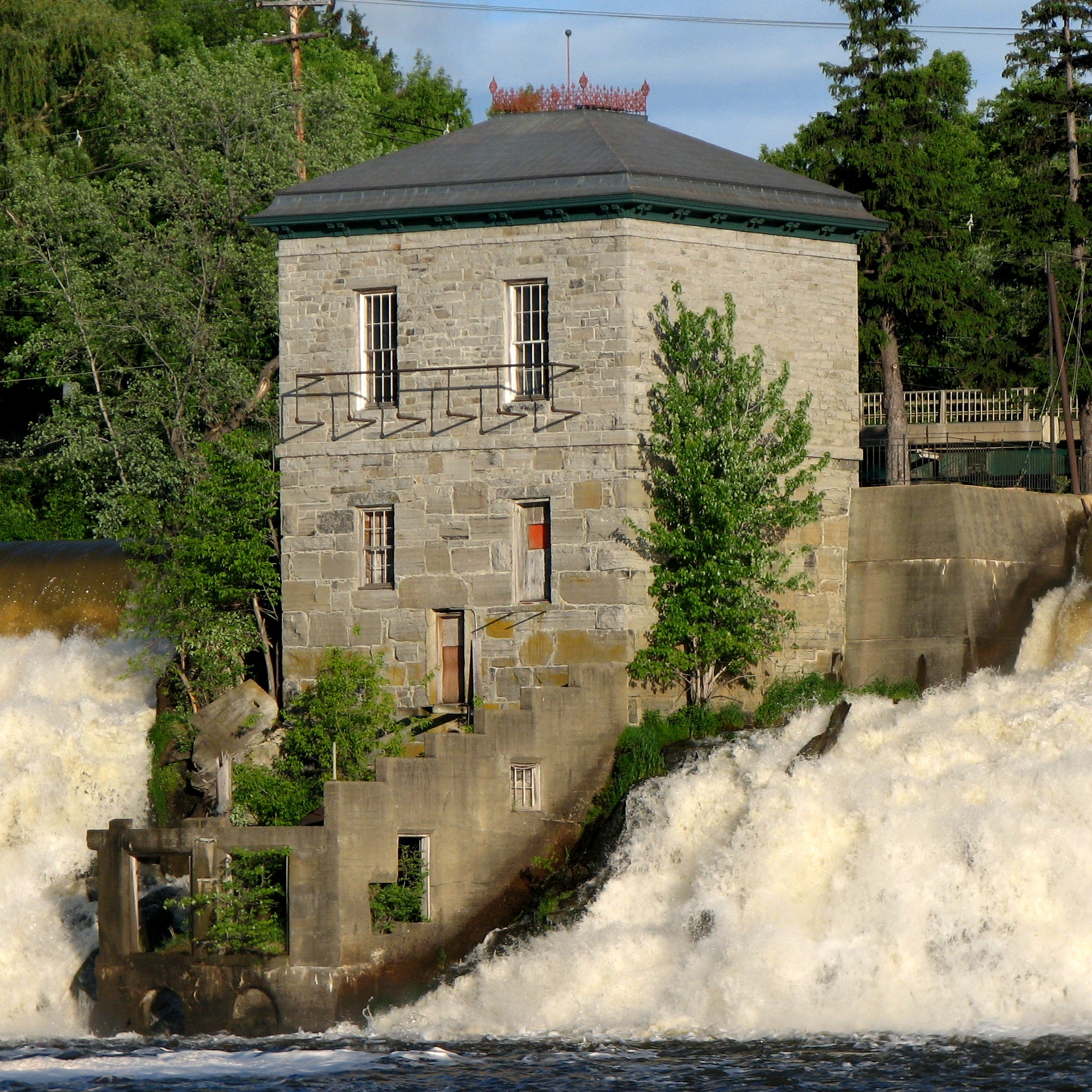
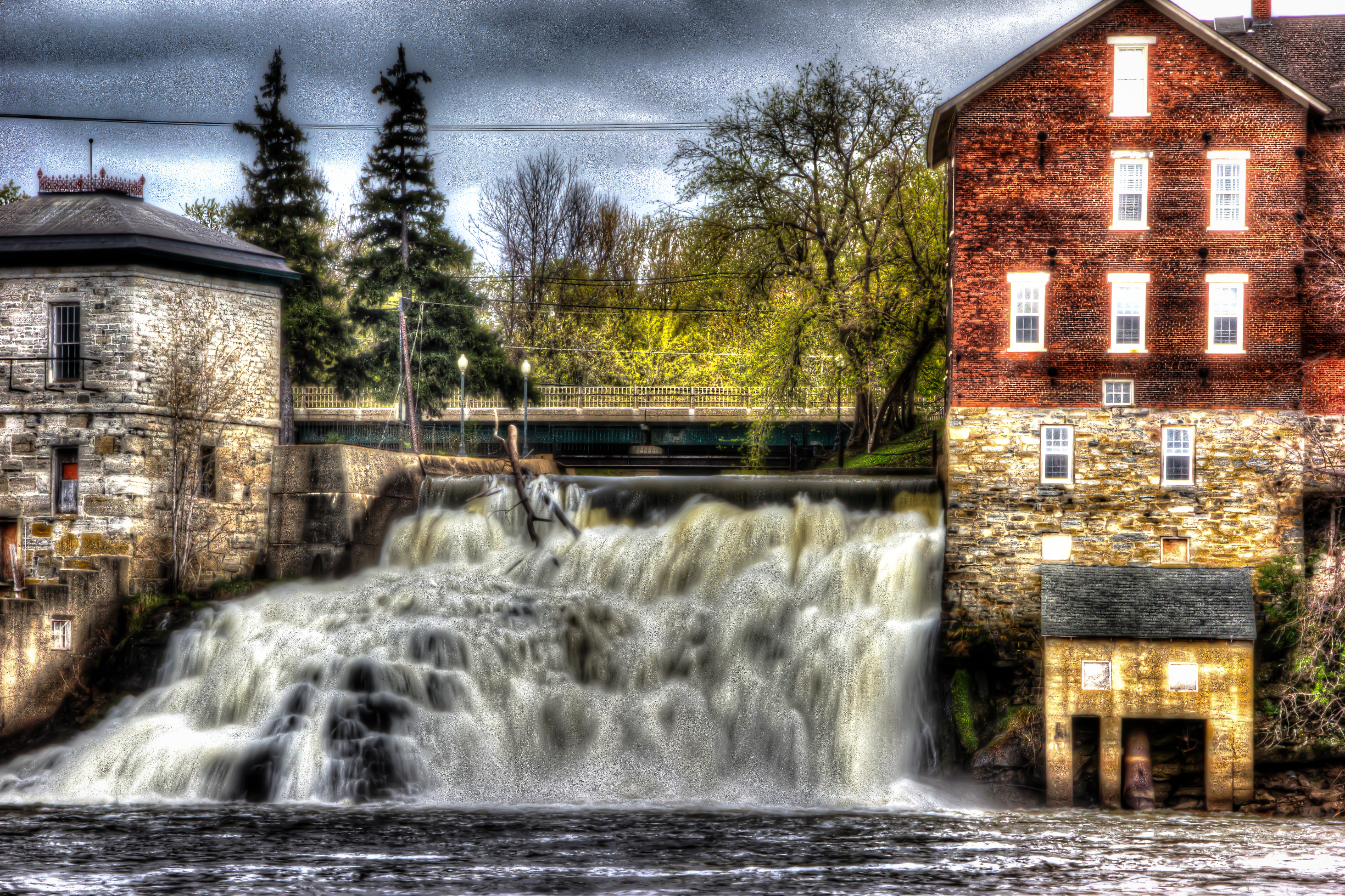
Pumphouse (1874) - view from below the Vergennes Falls
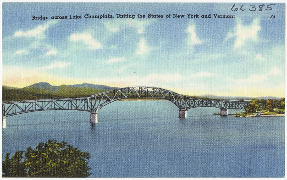
Bridge across Lake Champlain, uniting the states of New York and Vermont
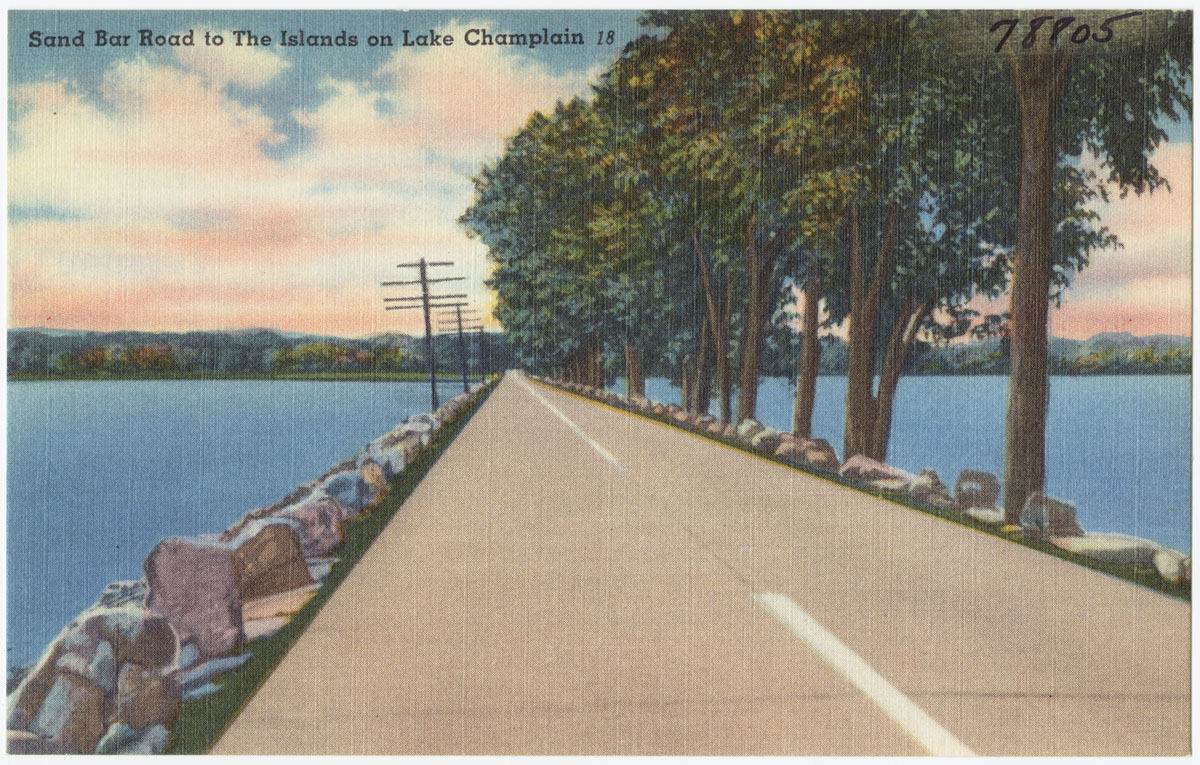
Sandy Bar Road to the islands on Lake Champlain
Snow for Christmas
Appalachian Gap
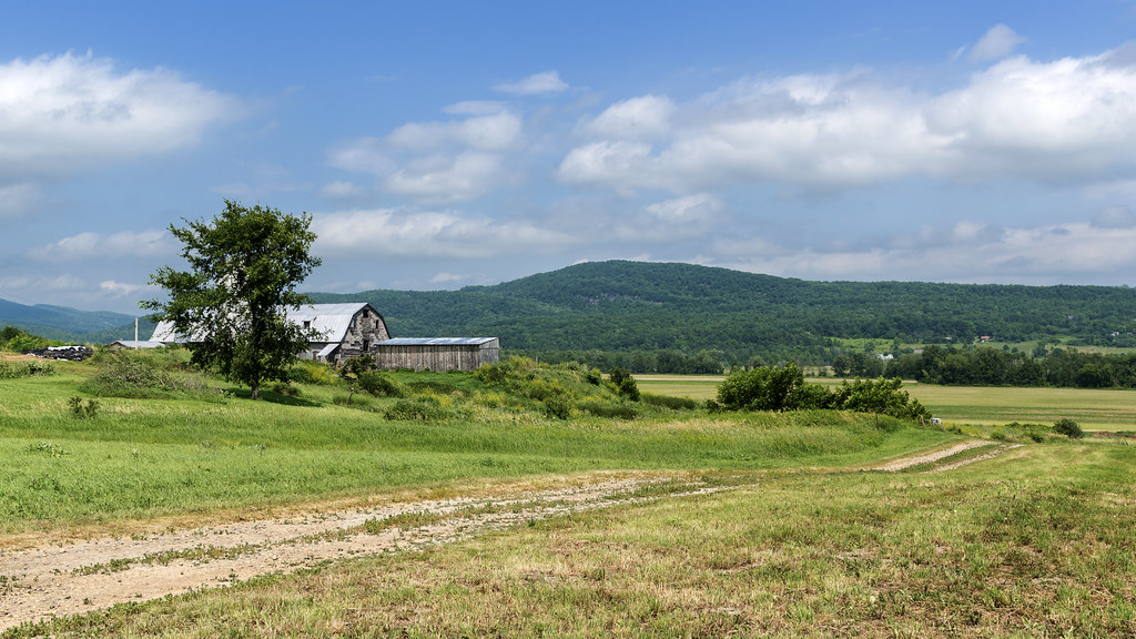
Rural Life
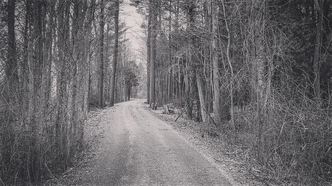
back road
Moser's Folly
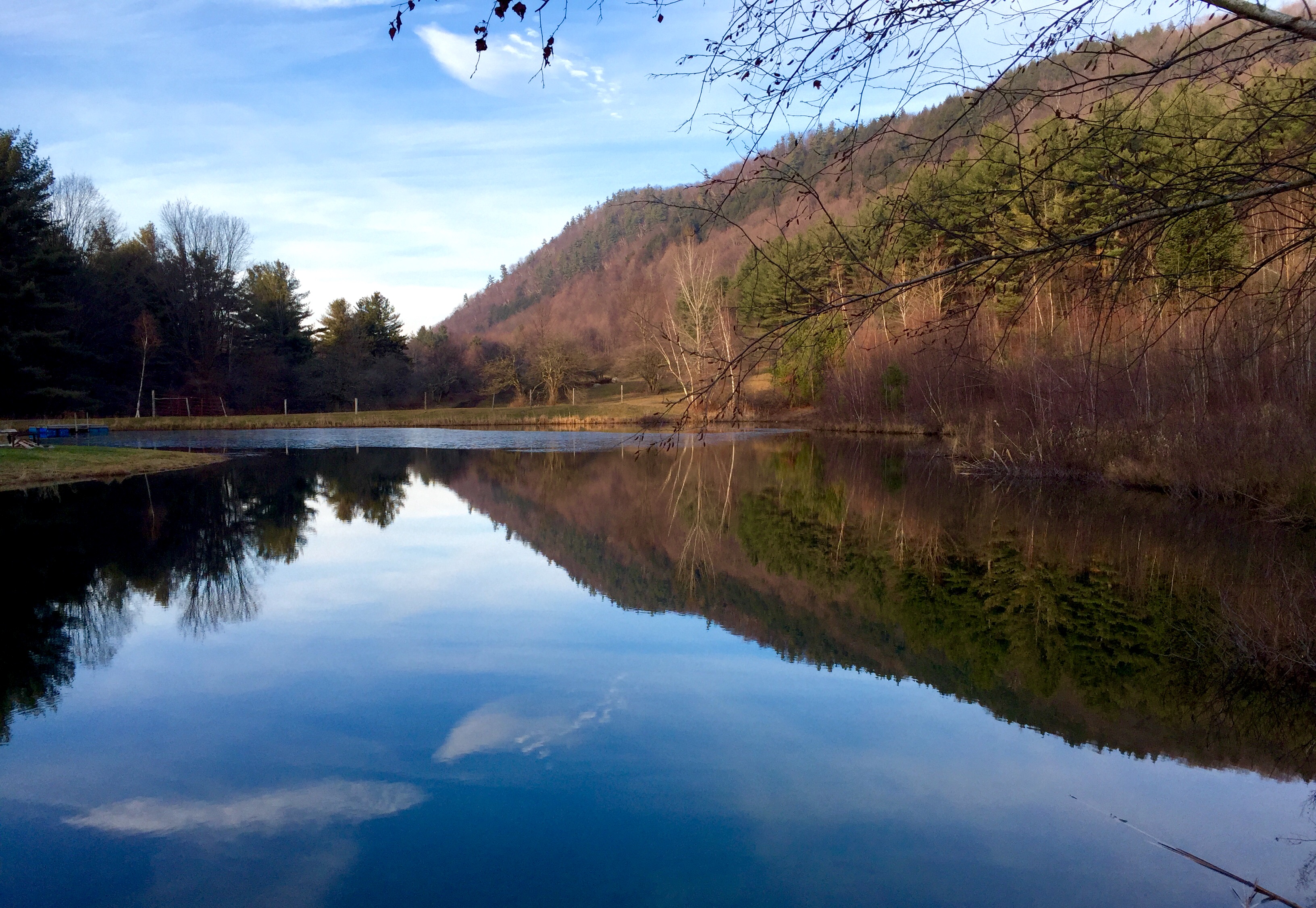
Russell Tree Farm Pond
Cedar Lake - Monkton VT
Ferrisburg fields
The Champlain Valley
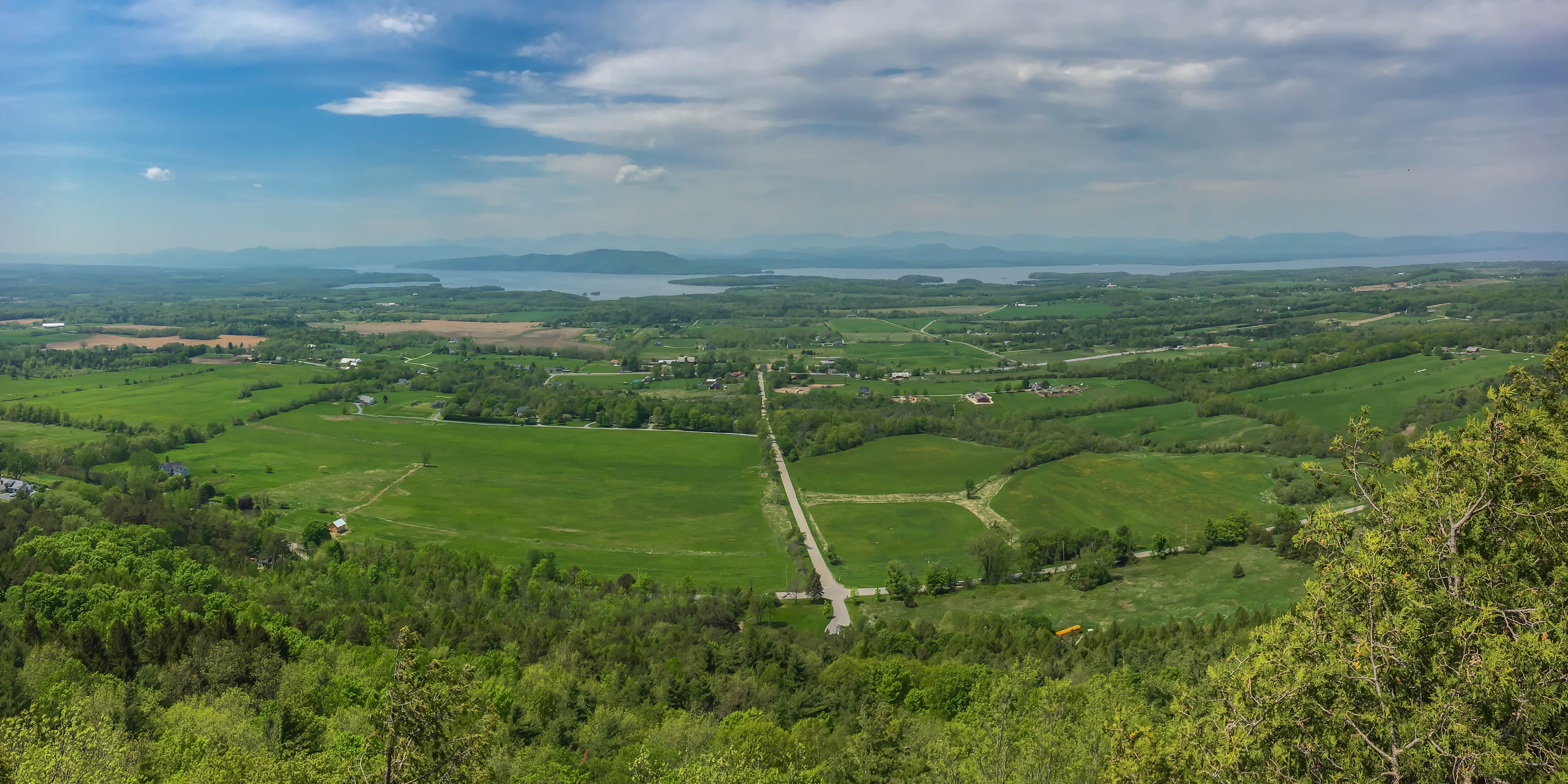
Mt Philo panorama - Lake Champlain
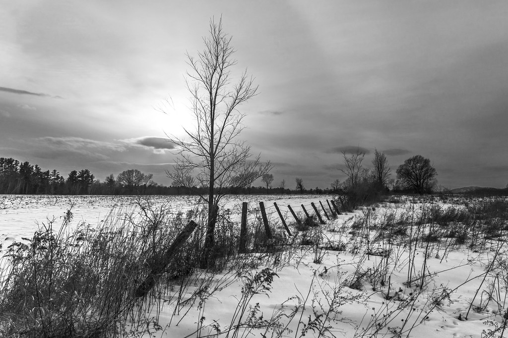
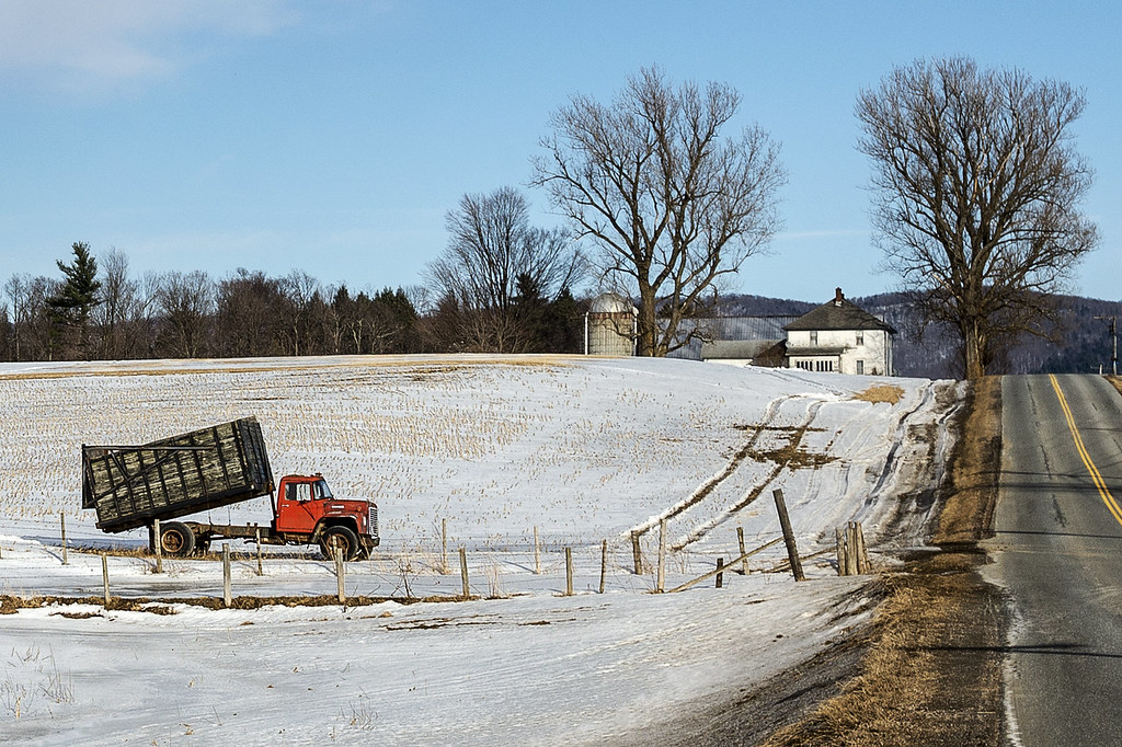
the fields in winter

Ten Foot Clearance
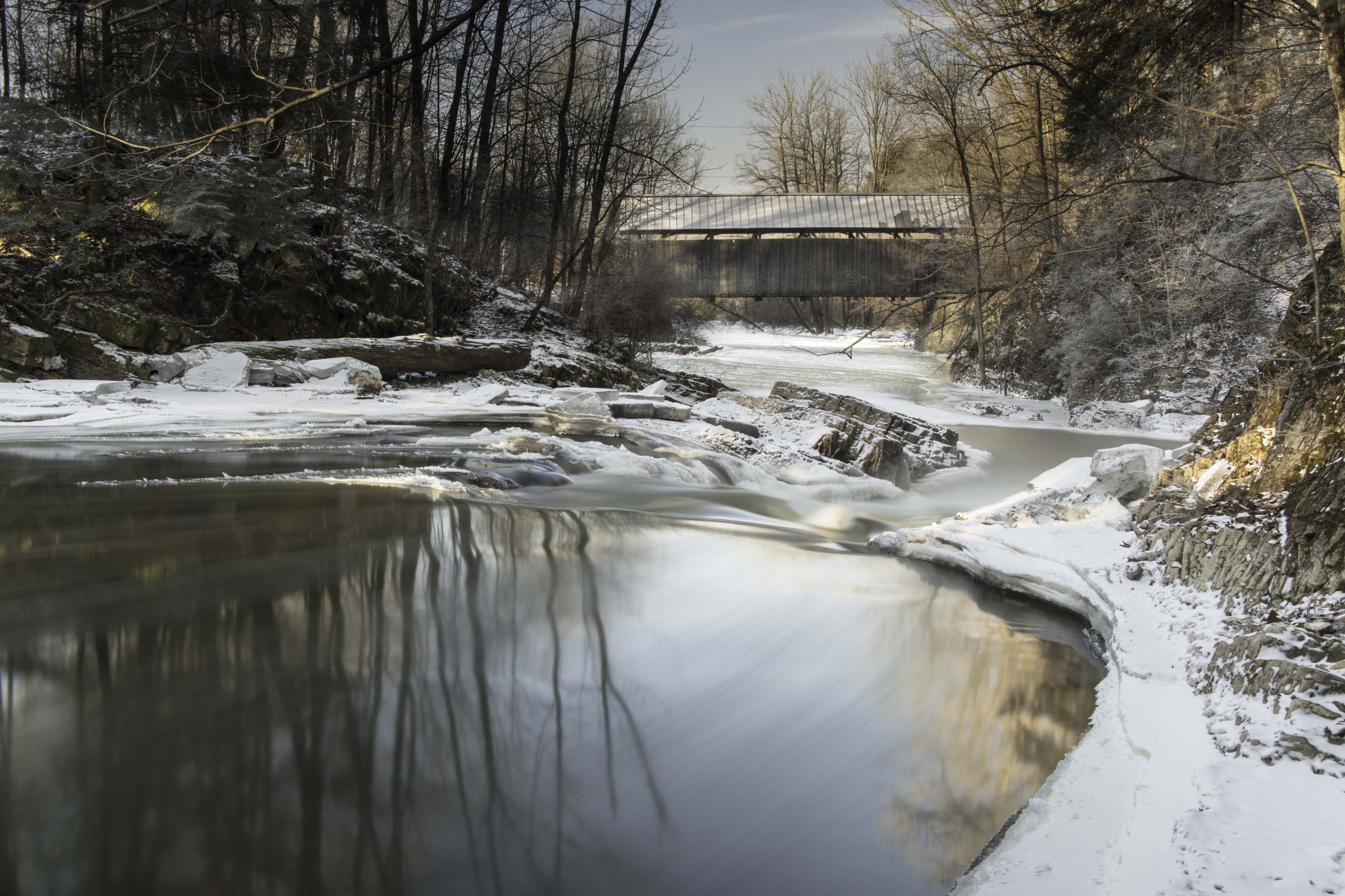
Seguin Covered Bridge
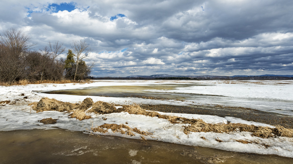
flooded field refreezing
#vt #vermontlife #vermont #ferrisburgh #kingslandbay #statepark #woods #forest #countrylove #countrylife #ilovermont #bw #bwlovers
Vergennes Falls
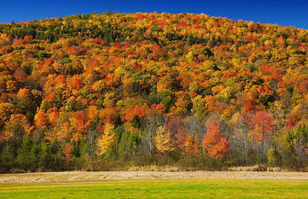
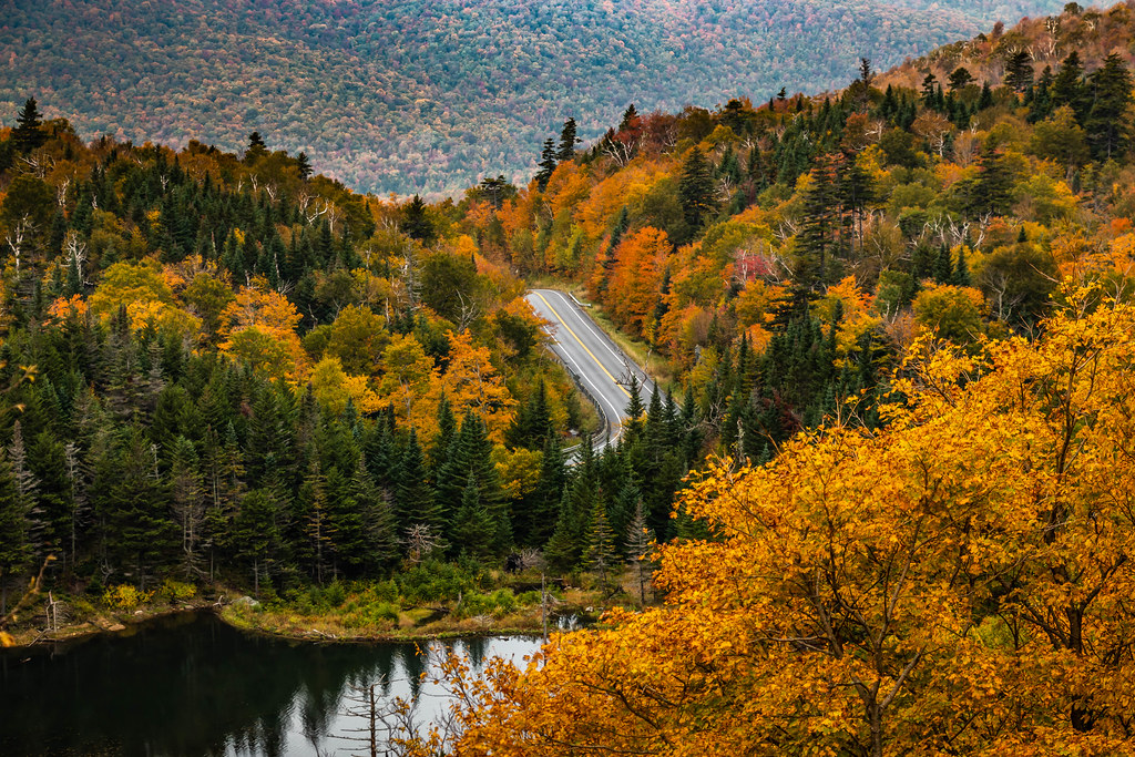
Vermont - Foliage

Freah Cut Corn
Topographic Map of Hidden Acres Drive, Lincoln, VT, USA
Find elevation by address:

Places near Hidden Acres Drive, Lincoln, VT, USA:
1862 Mountain Rd
Monkton Ridge, North Ferrisburgh, VT, USA
3979 Mountain Rd
4118 Vt-116
22 Varney Hill Rd
Starksboro
89 Tatro Rd
Hardscrabble Road
Fred Johnson Wildlife Management Area
602 Sunwood Ln
945 Upper Meehan Rd
Airport Drive
Bristol
Bristol
South Mountain Surveying
1056 Lafayette Rd
1 Sawyer Rd
1056 Vt-17
1291 Colby Hill Rd
Gore Road
Recent Searches:
- Elevation of Corso Fratelli Cairoli, 35, Macerata MC, Italy
- Elevation of Tallevast Rd, Sarasota, FL, USA
- Elevation of 4th St E, Sonoma, CA, USA
- Elevation of Black Hollow Rd, Pennsdale, PA, USA
- Elevation of Oakland Ave, Williamsport, PA, USA
- Elevation of Pedrógão Grande, Portugal
- Elevation of Klee Dr, Martinsburg, WV, USA
- Elevation of Via Roma, Pieranica CR, Italy
- Elevation of Tavkvetili Mountain, Georgia
- Elevation of Hartfords Bluff Cir, Mt Pleasant, SC, USA