Elevation of Airport Drive, Airport Dr, Bristol, VT, USA
Location: United States > Vermont > Addison County > Bristol > Bristol >
Longitude: -73.090451
Latitude: 44.1342668
Elevation: 175m / 574feet
Barometric Pressure: 99KPa
Elevation Map:
Satellite Map:
Related Photos:

Falls of Lana
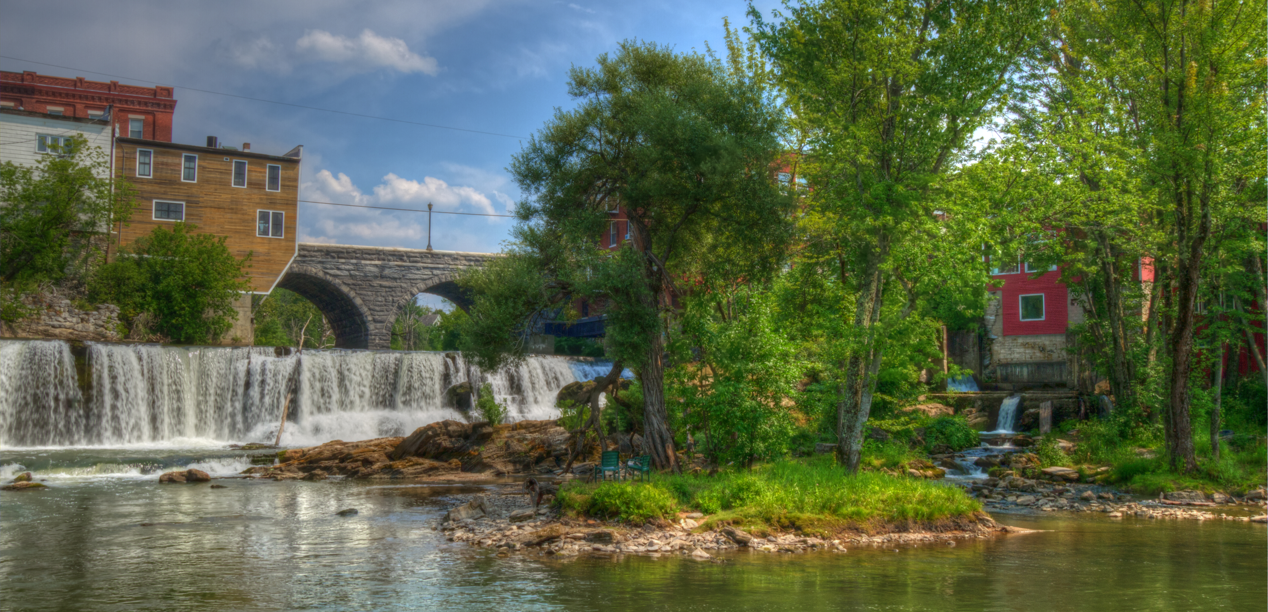
Otter Creek Waterfall Middlebury VT Wide
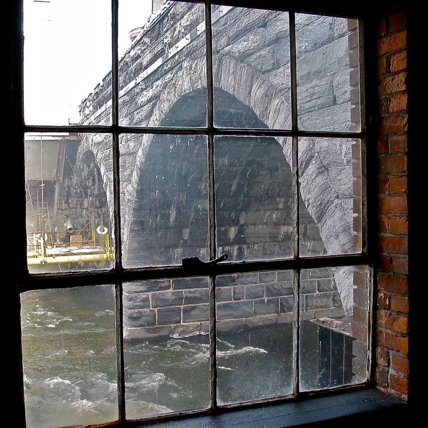
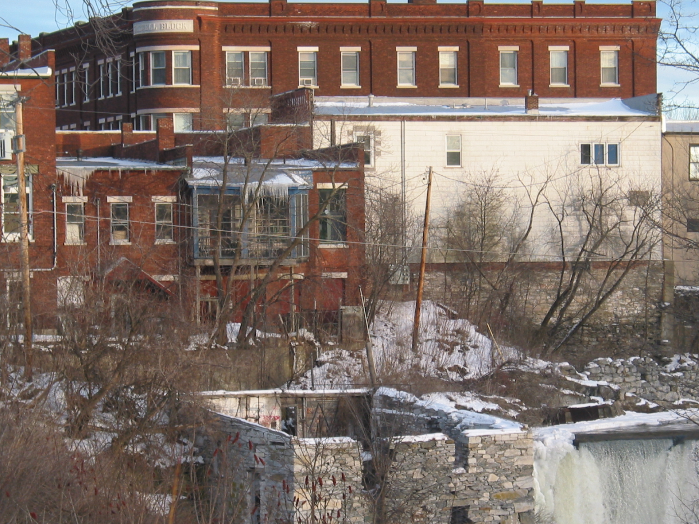
Battell Bridge (1892) – partial view of the center and north arch

Buck Mountain Blues

New Haven Junction Depot (1868) – west (roadside) view
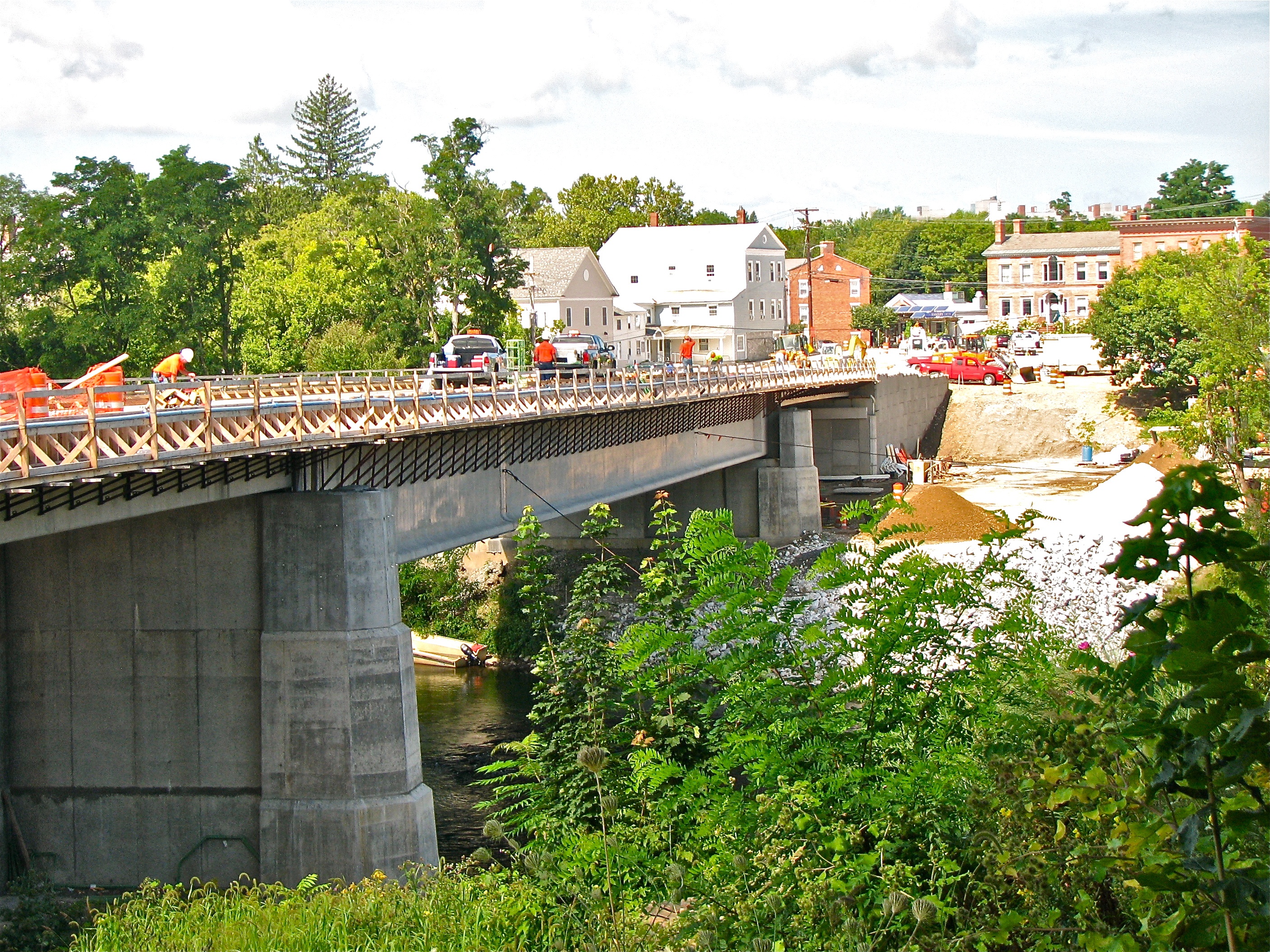
Cross Street Bridge - construction 2010
gnome • view
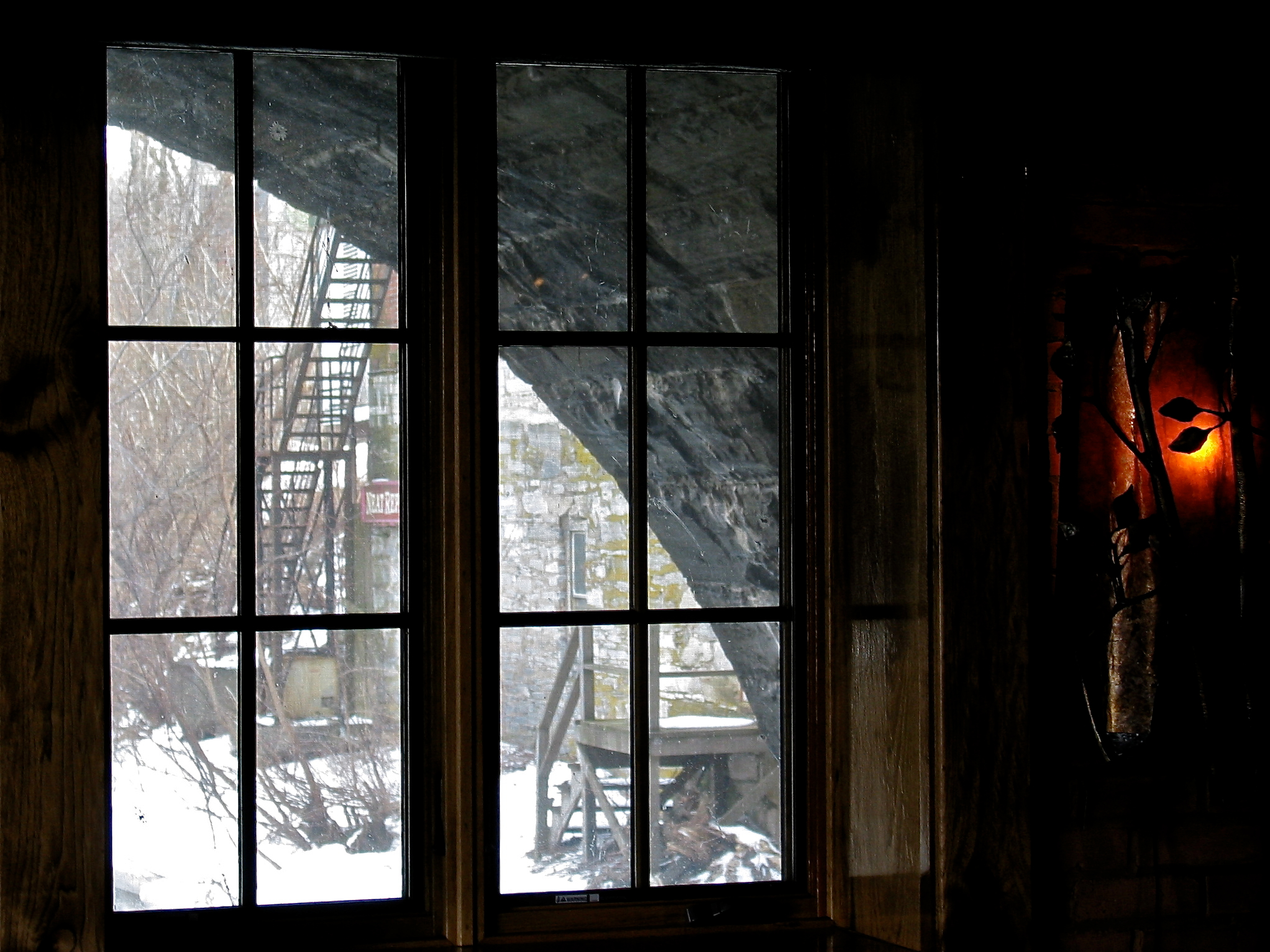
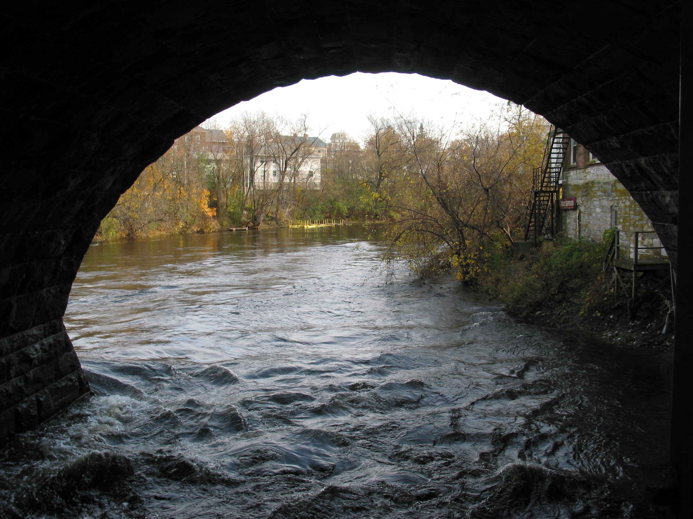
Battell Bridge (1892) – partial view of the south arch
Bread Loaf Dormitory (1935) – view of Bread Loaf Mountain
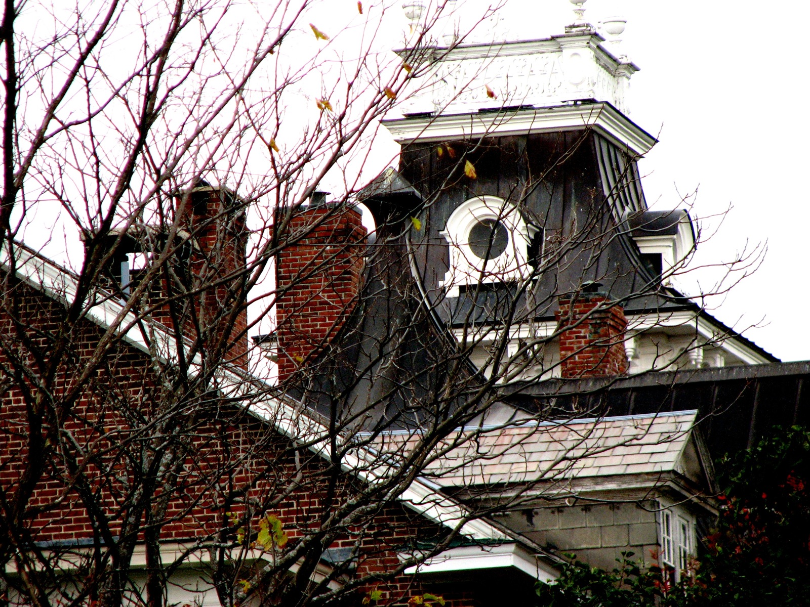
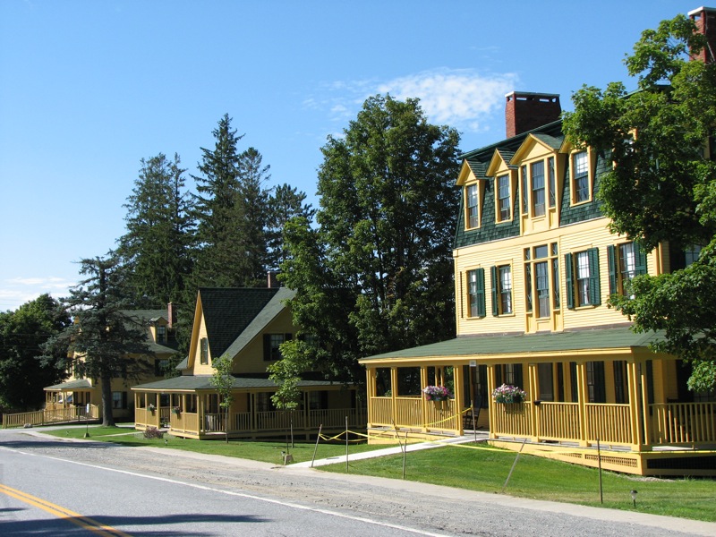
Shard Villa (1872-74) - roofline from west view
Middlebury View
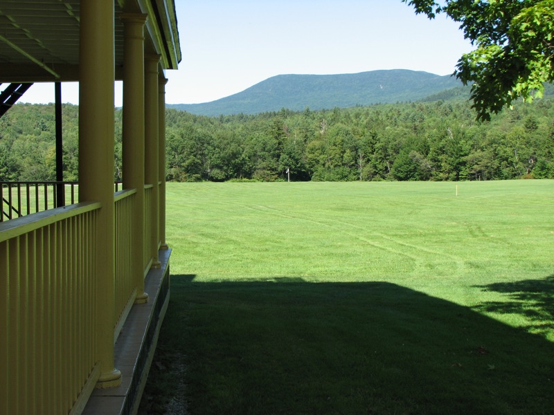
The Hotel (1885) at The Bread Loaf Inn - View down Rte 125

Ap Gap

A View From Above

Purple Haze

The Dacks

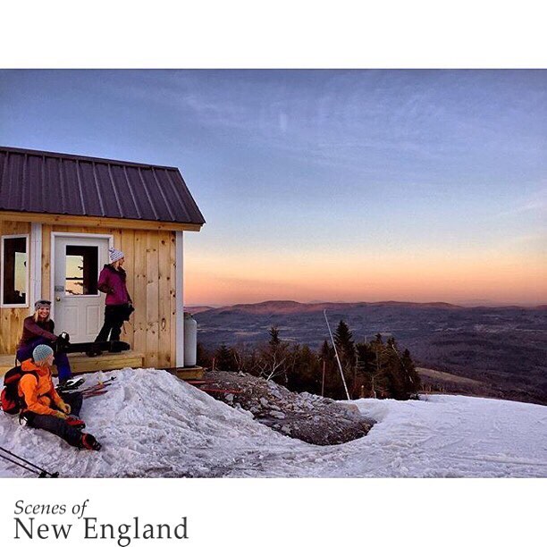
The trails & views off the Super Bravo Express lift today are sick. Skiing is sick! #skitheeast

Gravel Pit Pano
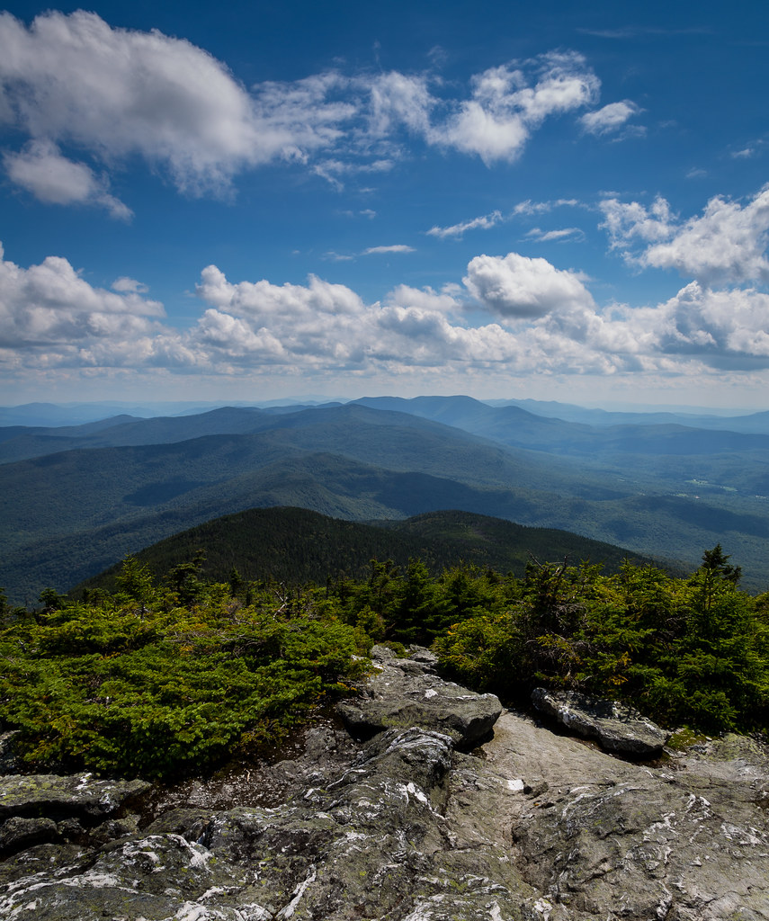
Mt Abraham, VT View
Mt Abraham, VT View
Adirondack View Old Conifer

Monkton Barn (Explored!)
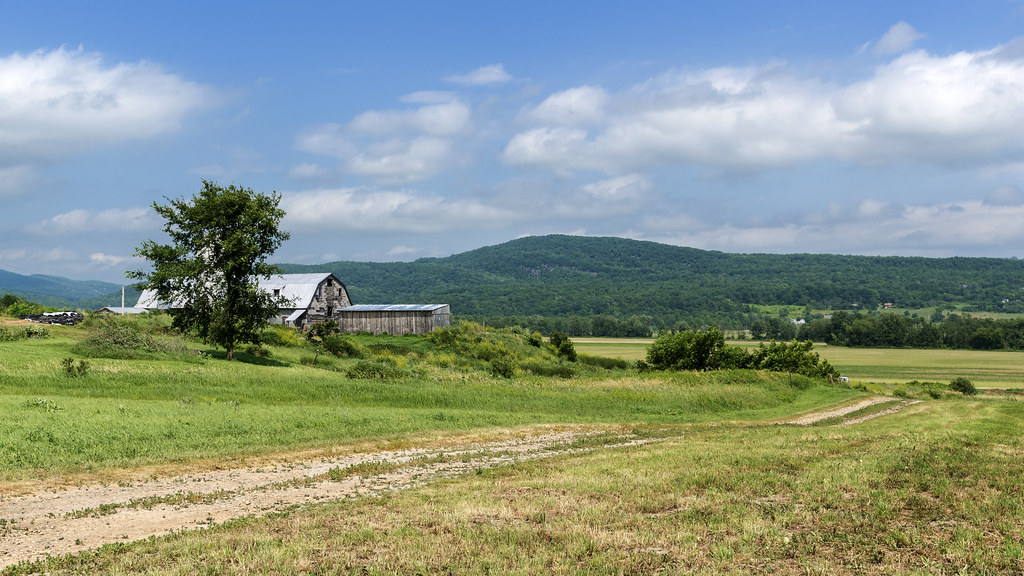
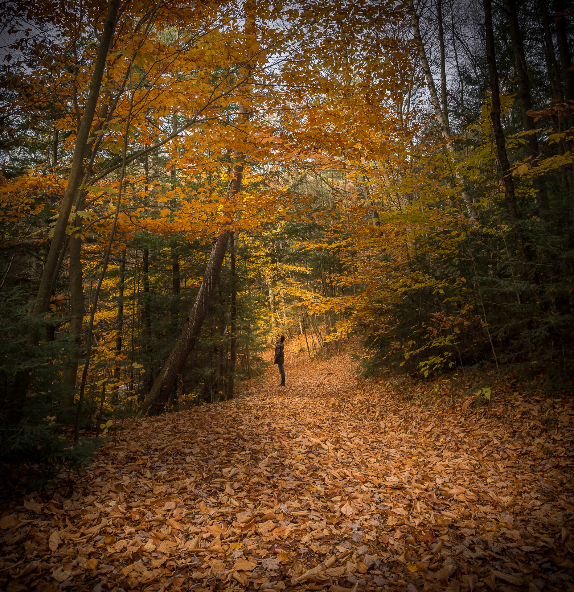
Rural Life
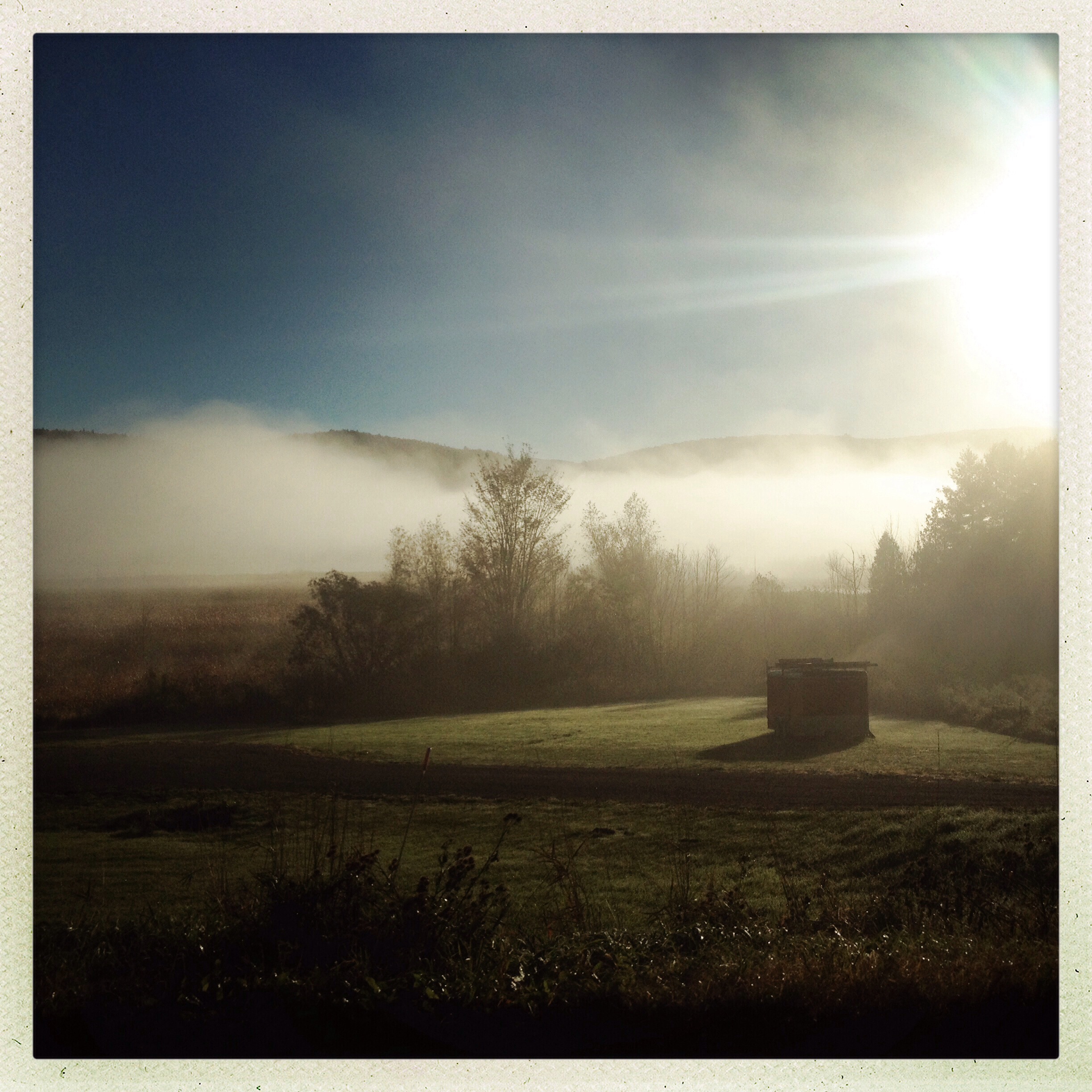
Morning Mist
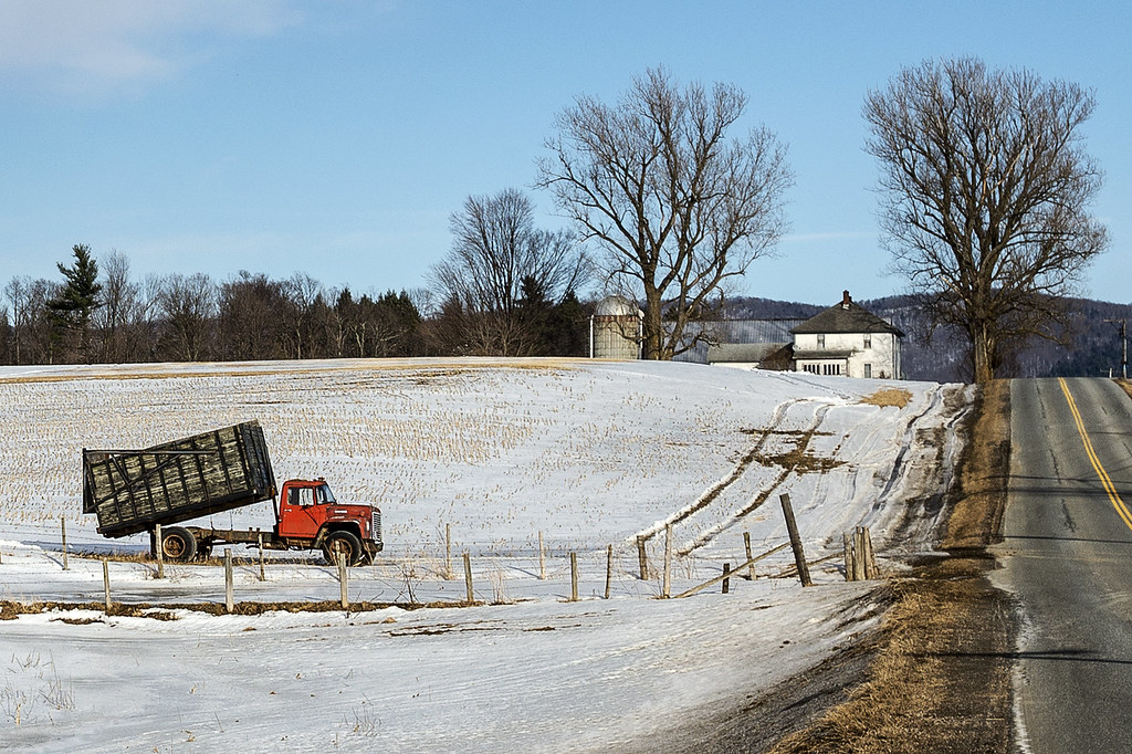
back road
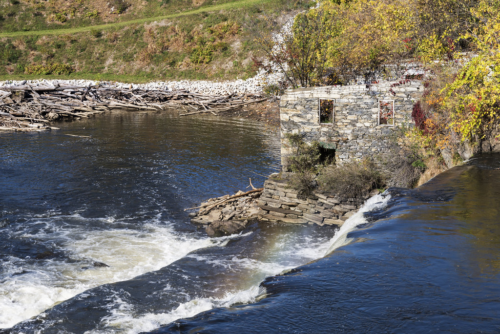
Otter Creek Falls

Old Barn
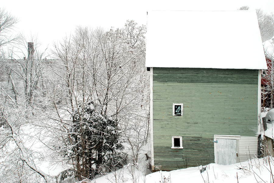
the green barn

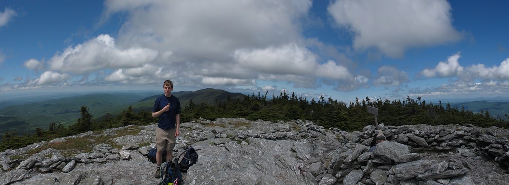
Abraham Summit
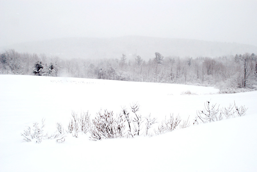
morning in white

Appalachian Gap
Ellen Mountain
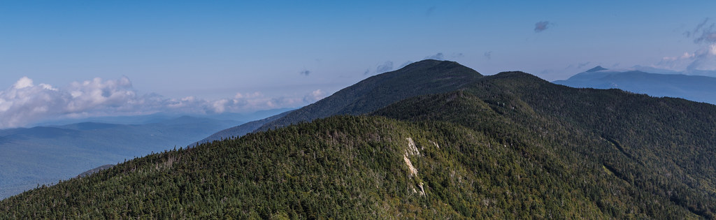
Green Mountain near Middlebury, VT
Congratulations!✨????✨ @mtb802 Your amazing Sugarbush Resort landscape shot was chosen as a feature from the beautiful state of Vermont.
Abraham Summit
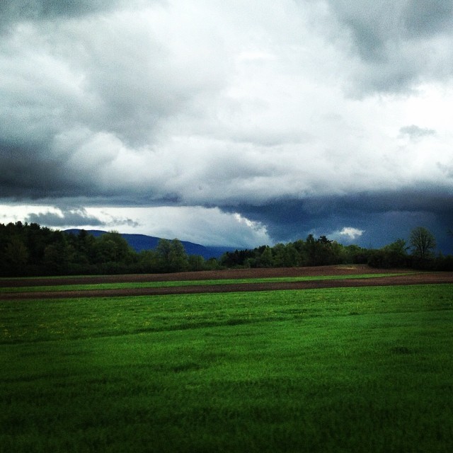
Got some crazy weather in VT today!

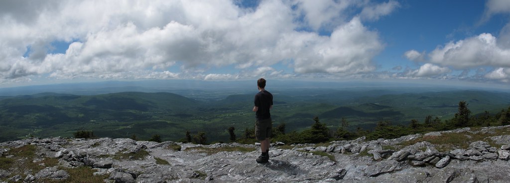
Hiking on Mt. Abraham
Topographic Map of Airport Drive, Airport Dr, Bristol, VT, USA
Find elevation by address:

Places near Airport Drive, Airport Dr, Bristol, VT, USA:
Bristol
Bristol
South Mountain Surveying
602 Sunwood Ln
1 Sawyer Rd
Hardscrabble Road
1291 Colby Hill Rd
3979 Mountain Rd
945 Upper Meehan Rd
89 Tatro Rd
1862 Mountain Rd
1056 Vt-17
Starksboro
129 Hidden Acres Drive
1056 Lafayette Rd
4118 Vt-116
437 Hall Rd
22 Varney Hill Rd
Monkton Ridge, North Ferrisburgh, VT, USA
3287 Downingsville Rd
Recent Searches:
- Elevation of Corso Fratelli Cairoli, 35, Macerata MC, Italy
- Elevation of Tallevast Rd, Sarasota, FL, USA
- Elevation of 4th St E, Sonoma, CA, USA
- Elevation of Black Hollow Rd, Pennsdale, PA, USA
- Elevation of Oakland Ave, Williamsport, PA, USA
- Elevation of Pedrógão Grande, Portugal
- Elevation of Klee Dr, Martinsburg, WV, USA
- Elevation of Via Roma, Pieranica CR, Italy
- Elevation of Tavkvetili Mountain, Georgia
- Elevation of Hartfords Bluff Cir, Mt Pleasant, SC, USA