Elevation of Mountain Lookout Dr, Bostic, NC, USA
Location: United States > North Carolina > Rutherford County > Cool Spring > Bostic >
Longitude: -81.8226283
Latitude: 35.5027003
Elevation: -10000m / -32808feet
Barometric Pressure: 0KPa
Related Photos:

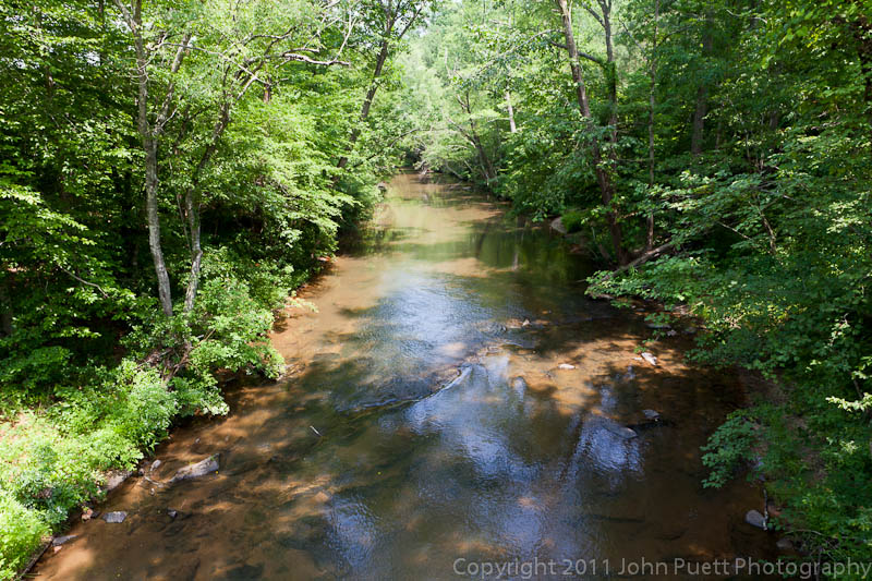
Quiet by the Creekside

View from the old CCC Road
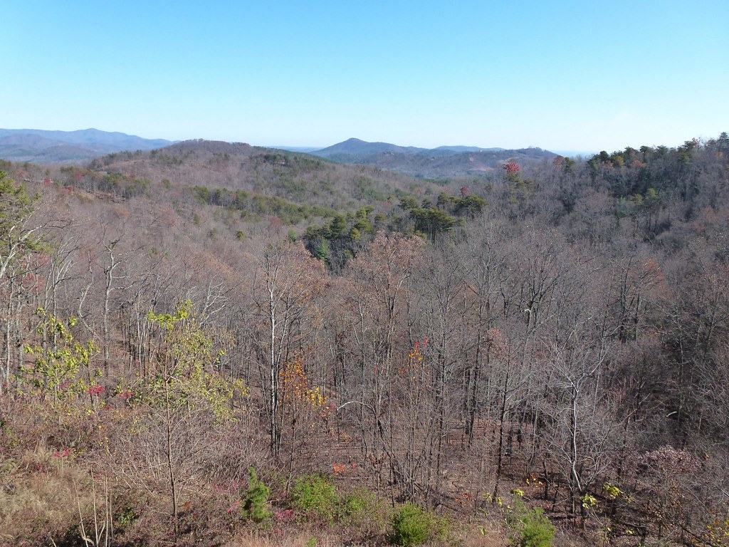
South Mountain Game Lands

South Mountain Game Lands

Lee & I out scouting for turkey season and for this year's upcoming deer season

Not a bad view at all and a fun hike. Base of the waterfall at Chimney Rock.

South Mountain Game Lands
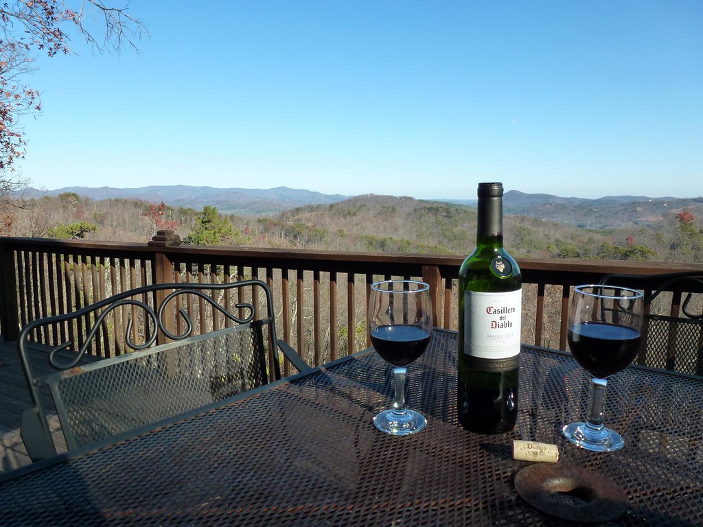
After Dinner View
View from the Deck

View from the Deck

Train Chase [II]

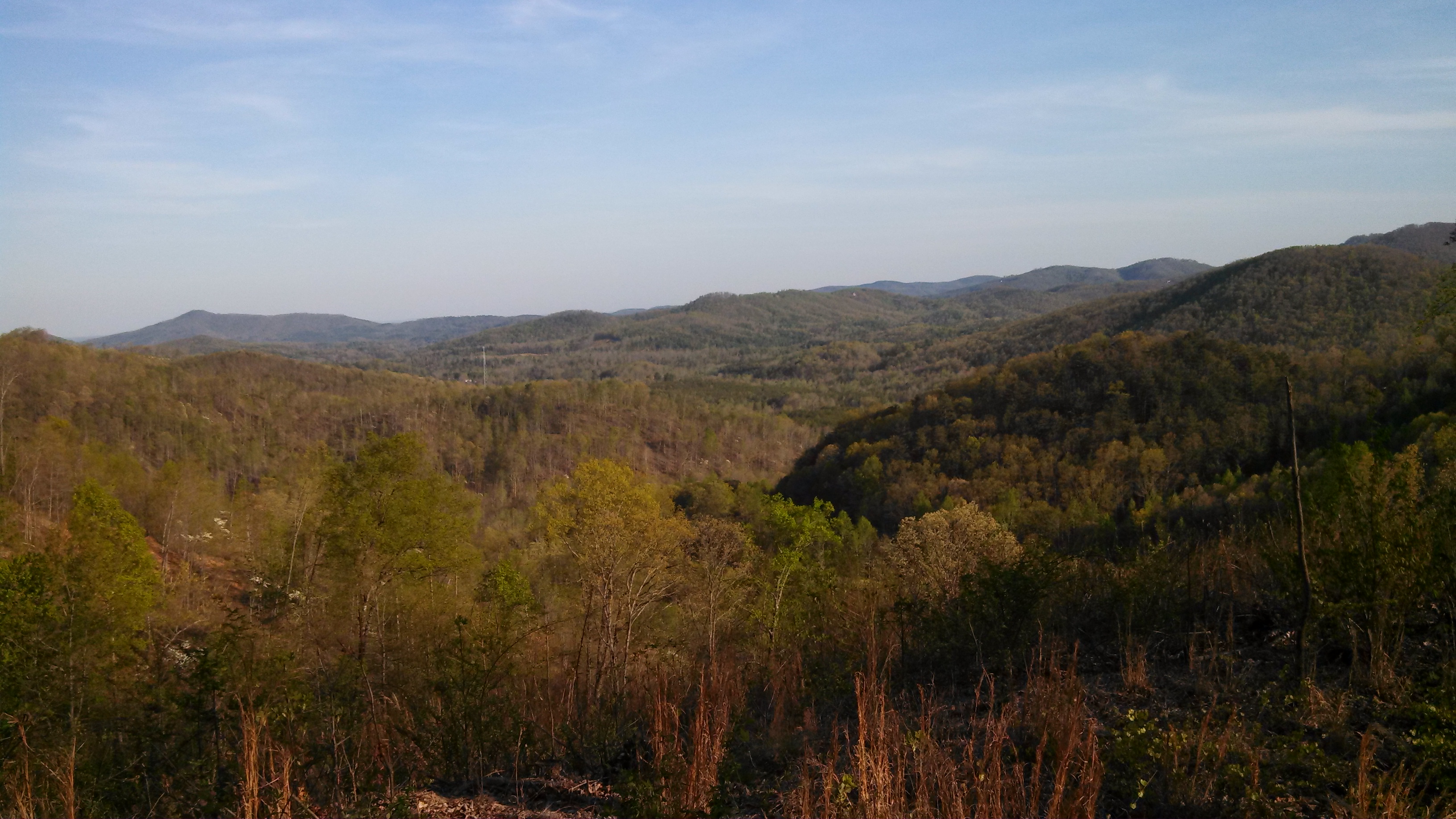
Western NC

A New Day

Morning light on Camp Grimes
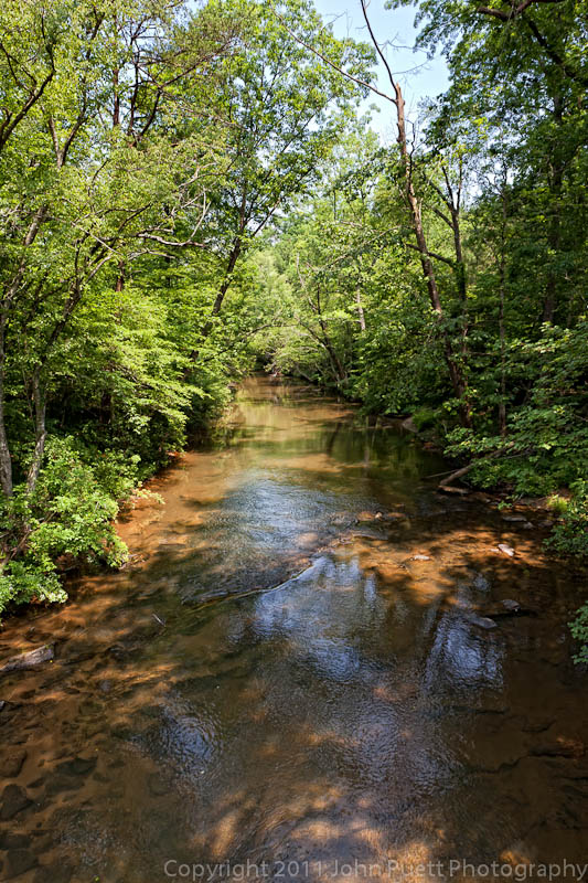
Golden Valley Creek #2
Golden Valley Creek

Camp Golden Valley

Camp Golden Valley

After the Storm

DeMariano Vineyard

Carolina Country Home

DeMariano Vineyards

August 18-2012-108-TM

August 18-2012-127-1

Sunrise from the Deck

Sunrise from the Deck
Topographic Map of Mountain Lookout Dr, Bostic, NC, USA
Find elevation by address:

Places near Mountain Lookout Dr, Bostic, NC, USA:
185 Mountain Lookout Dr
197 Valley View Dr
1691 Arbra Mountain Way
202 Fall Creek Dr
202 Fall Creek Dr
202 Fall Creek Dr
202 Fall Creek Dr
788 Arbra Mountain Rd
694 Arbra Mountain Rd
694 Arbra Mountain Way
503 Summit Pkwy
409 Adirondack Ln
352 Arbra Mountain Rd
379 Valley Hills Dr
537 Summit Pkwy
290 Arbra Mountain Rd
290 Arbra Mountain Way
176 Sarinac Dr
133 Saratoga Dr
2289 Cane Creek Rd
Recent Searches:
- Elevation of 10370, West 107th Circle, Westminster, Jefferson County, Colorado, 80021, USA
- Elevation of 611, Roman Road, Old Ford, Bow, London, England, E3 2RW, United Kingdom
- Elevation of 116, Beartown Road, Underhill, Chittenden County, Vermont, 05489, USA
- Elevation of Window Rock, Colfax County, New Mexico, 87714, USA
- Elevation of 4807, Rosecroft Street, Kempsville Gardens, Virginia Beach, Virginia, 23464, USA
- Elevation map of Matawinie, Quebec, Canada
- Elevation of Sainte-Émélie-de-l'Énergie, Matawinie, Quebec, Canada
- Elevation of Rue du Pont, Sainte-Émélie-de-l'Énergie, Matawinie, Quebec, J0K2K0, Canada
- Elevation of 8, Rue de Bécancour, Blainville, Thérèse-De Blainville, Quebec, J7B1N2, Canada
- Elevation of Wilmot Court North, 163, University Avenue West, Northdale, Waterloo, Region of Waterloo, Ontario, N2L6B6, Canada
- Elevation map of Panamá Province, Panama
- Elevation of Balboa, Panamá Province, Panama
- Elevation of San Miguel, Balboa, Panamá Province, Panama
- Elevation of Isla Gibraleón, San Miguel, Balboa, Panamá Province, Panama
- Elevation of 4655, Krischke Road, Schulenburg, Fayette County, Texas, 78956, USA
- Elevation of Carnegie Avenue, Downtown Cleveland, Cleveland, Cuyahoga County, Ohio, 44115, USA
- Elevation of Walhonding, Coshocton County, Ohio, USA
- Elevation of Clifton Down, Clifton, Bristol, City of Bristol, England, BS8 3HU, United Kingdom
- Elevation map of Auvergne-Rhône-Alpes, France
- Elevation map of Upper Savoy, Auvergne-Rhône-Alpes, France