Elevation of Mountain Home Road, Mountain Home Rd, Woodside, CA, USA
Location: United States > California > San Mateo County > Woodside > Mountain Home Road >
Longitude: -122.25189
Latitude: 37.416643
Elevation: 132m / 433feet
Barometric Pressure: 100KPa
Elevation Map:
Satellite Map:
Related Photos:

IMG_5922 Forster's Tern Hovering, Mountain View Shoreline Park, California

IMG_0173 Here I Come! Mountain View Shoreline Park, CA

Closing Time

Barn Swallow (immature)

IMG_1917 Snowy Egret

IMG_8736 Snowy Egret

Sea of GBikes at Google's Building 44, Mountain View, California

IMG_8090 Snowy Egret, Mountain View Shoreline Park, CA

Egret Strut

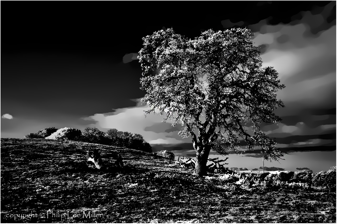
Gnarled Oak

IMG_1380 Let Me Feed You, Honey.
If Trees Could Talk

IMG_3580 Black-Crowned Night Heron

Eared Grebe with just a hint of the breeding plumage
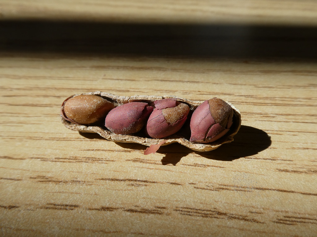
Four In One
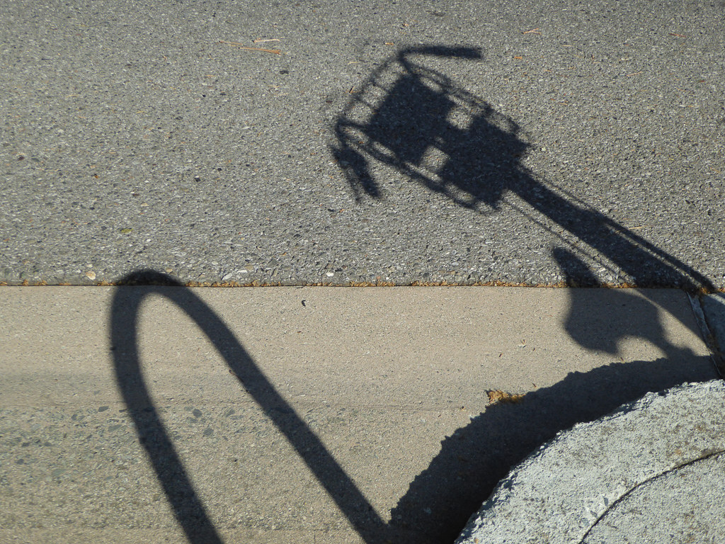
Shadow Bike

Fish On

Forster's Tern (1st year)

20090821-DSC_9272

Break Chairs

Cone Drips

April Skies | Palo Alto
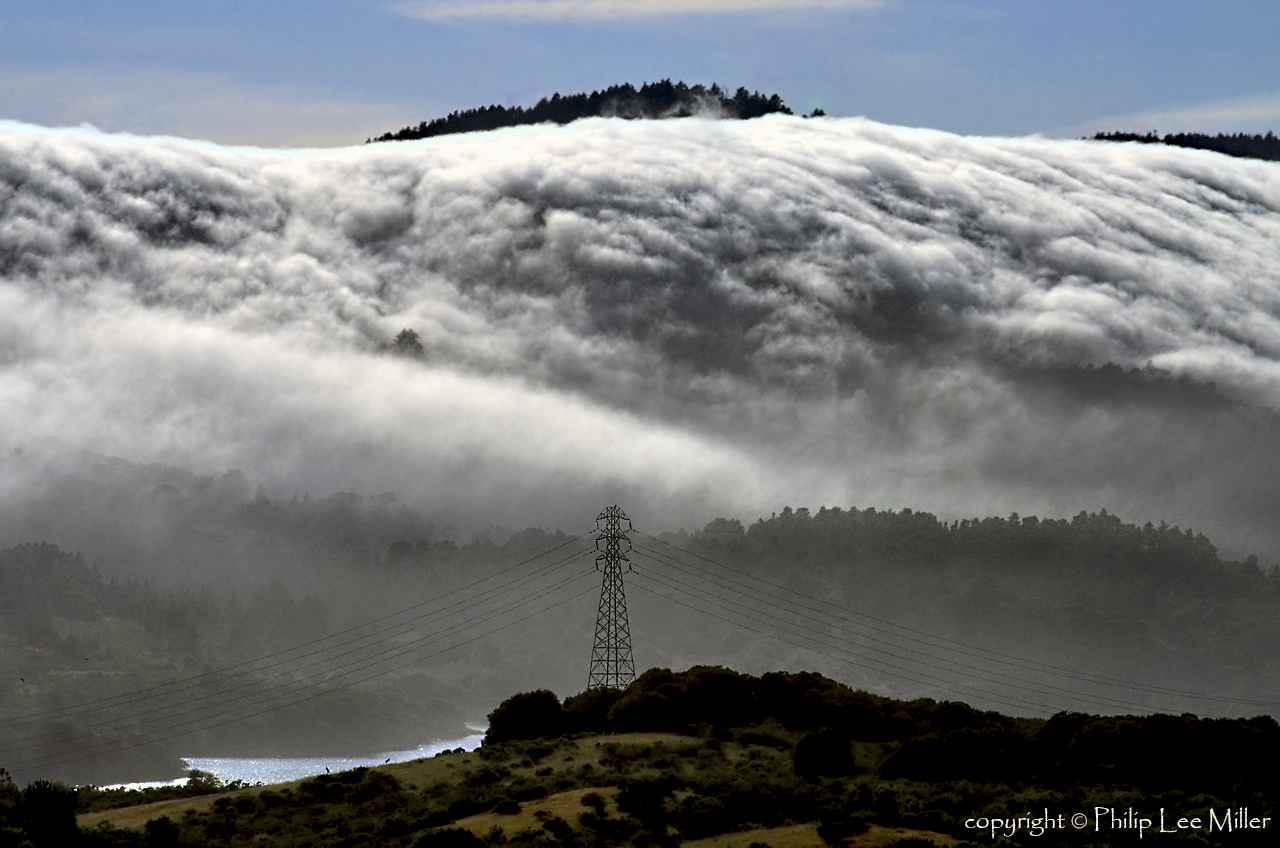
Power Meets Power

Heavenly shades of night are falling, it's twilight time ...

And the wind cries Mary

Fields of Gold

Arastradero Pasture

~~Garden of PEACE #2~~
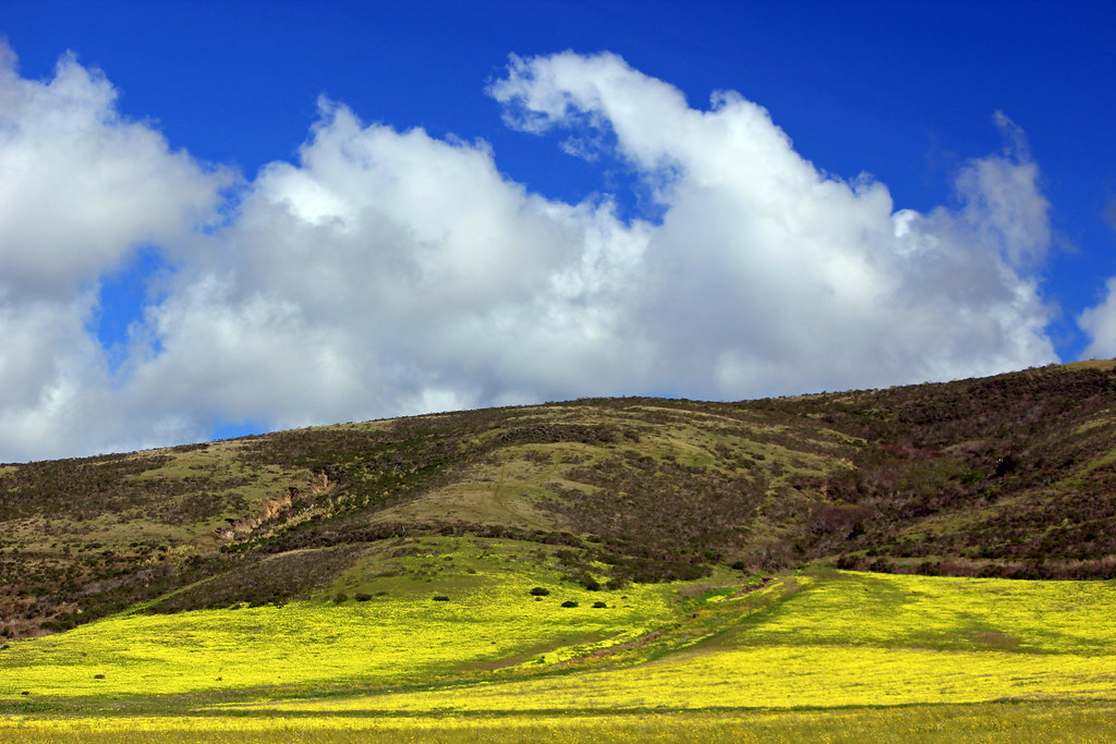
Clouds over Hills and Flowers
Pumpkin castle
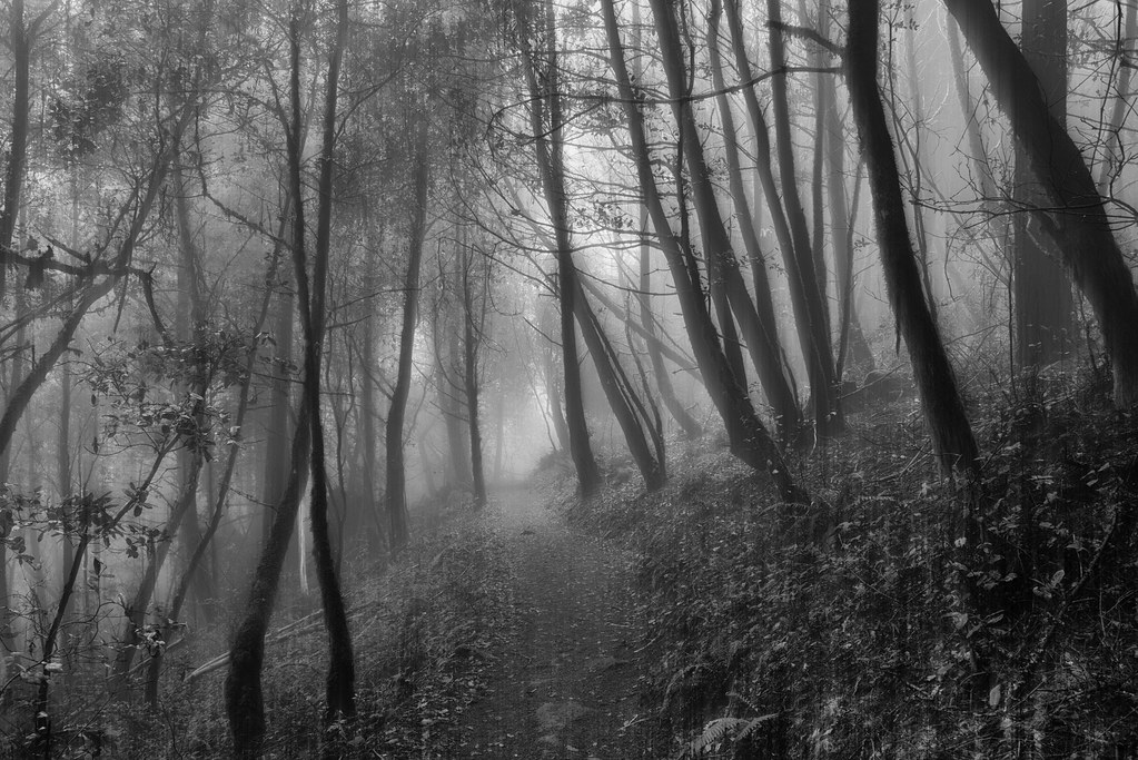
Purisima Creek

Redwood Shores
Way better than the DMV...
~ Blue Bayou #9 ~
grassy hill

Gentle Afterglow

Trees and Rays

House On A Hill
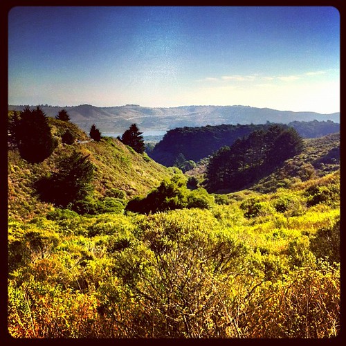
trail uphill

I wonder

Stanford and Palo Alto

California shoreline in bloom
Topographic Map of Mountain Home Road, Mountain Home Rd, Woodside, CA, USA
Find elevation by address:

Places near Mountain Home Road, Mountain Home Rd, Woodside, CA, USA:
Mountain Home Road
890 Mountain Home Rd
Woodside
Woodside Rd, Woodside, CA, USA
707 La Honda Rd
Thornewood Open Space Preserve
Woodside Glens
143 Alta Vista Rd
255 Highland Terrace
Highland Terrace, Woodside, CA, USA
99 Old La Honda Rd
Schilling Lake
Sky Londa
Ca-84 & Skyline Blvd
Alice's Restaurant
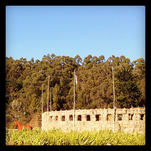
Family Farm - Hidden Valley
17507 Skyline Blvd
110 Wyndham Dr
Portola Valley
2 Wyndham Dr, Portola Valley, CA, USA
Recent Searches:
- Elevation of Corso Fratelli Cairoli, 35, Macerata MC, Italy
- Elevation of Tallevast Rd, Sarasota, FL, USA
- Elevation of 4th St E, Sonoma, CA, USA
- Elevation of Black Hollow Rd, Pennsdale, PA, USA
- Elevation of Oakland Ave, Williamsport, PA, USA
- Elevation of Pedrógão Grande, Portugal
- Elevation of Klee Dr, Martinsburg, WV, USA
- Elevation of Via Roma, Pieranica CR, Italy
- Elevation of Tavkvetili Mountain, Georgia
- Elevation of Hartfords Bluff Cir, Mt Pleasant, SC, USA