Elevation of Mountain Home Rd, Woodside, CA, USA
Location: United States > California > San Mateo County > Woodside > Mountain Home Road >
Longitude: -122.24939
Latitude: 37.4103575
Elevation: 138m / 453feet
Barometric Pressure: 100KPa
Elevation Map:
Satellite Map:
Related Photos:

Long Walks on Short Piers

IMG_1380 Let Me Feed You, Honey.

Lone Chair

IMG_0173 Here I Come! Mountain View Shoreline Park, CA

Closing Time

Wire Hooks

Waiting For My Person

Shadow Lines

Marbled Godwit
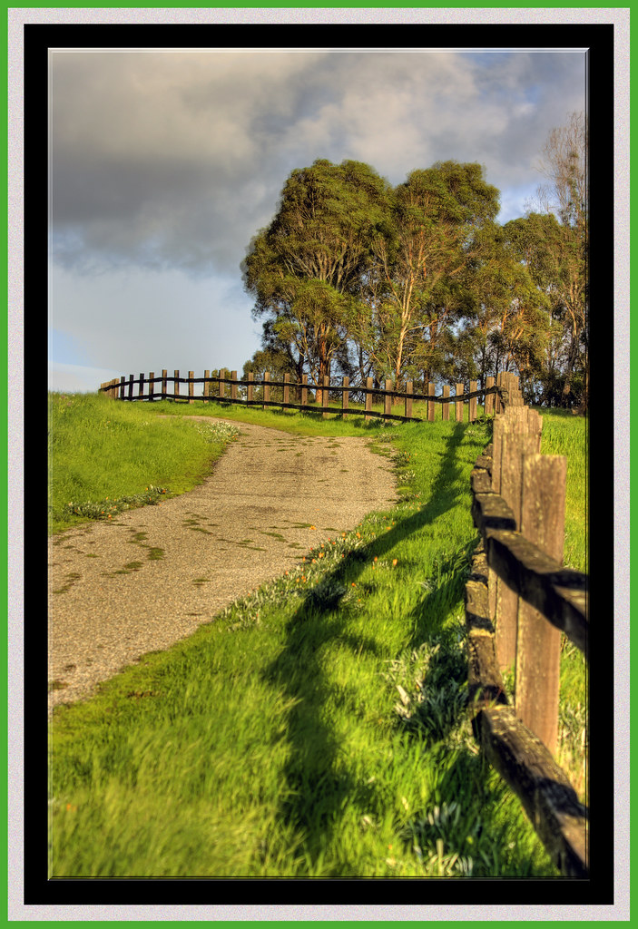
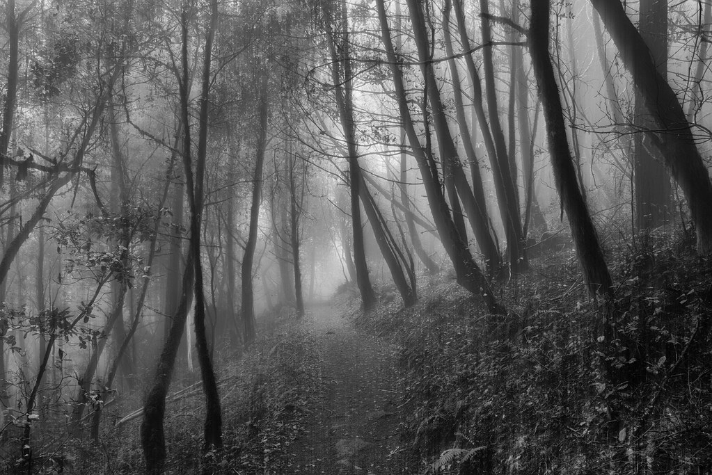
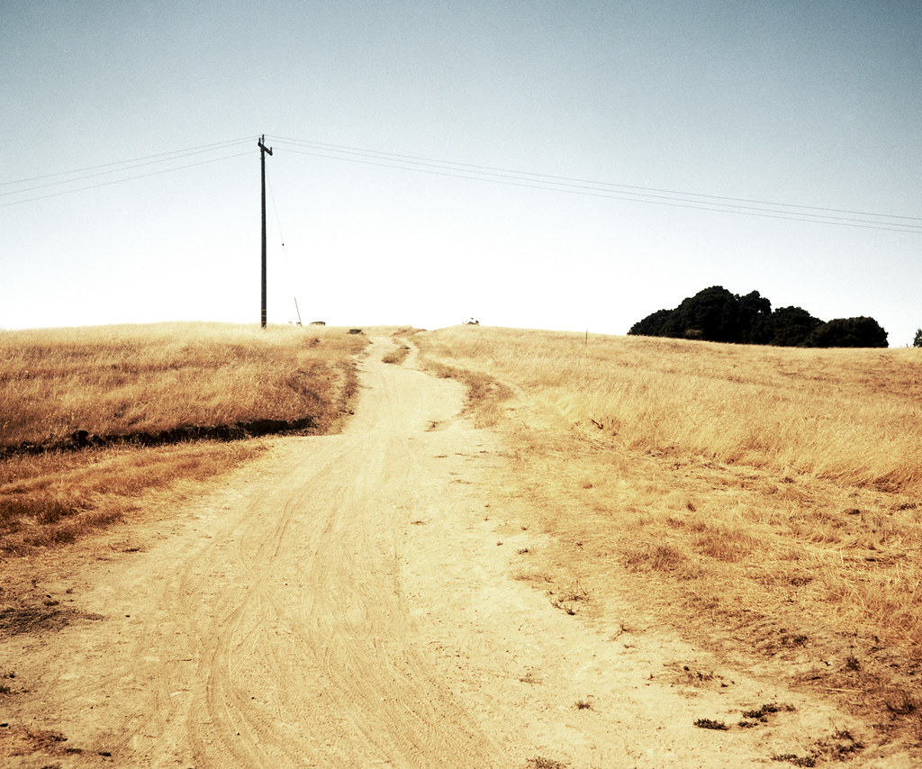
The Road Less Travelled...

IMG_1917 Snowy Egret

Geese (HSS)

IMG_8736 Snowy Egret

Vine Art
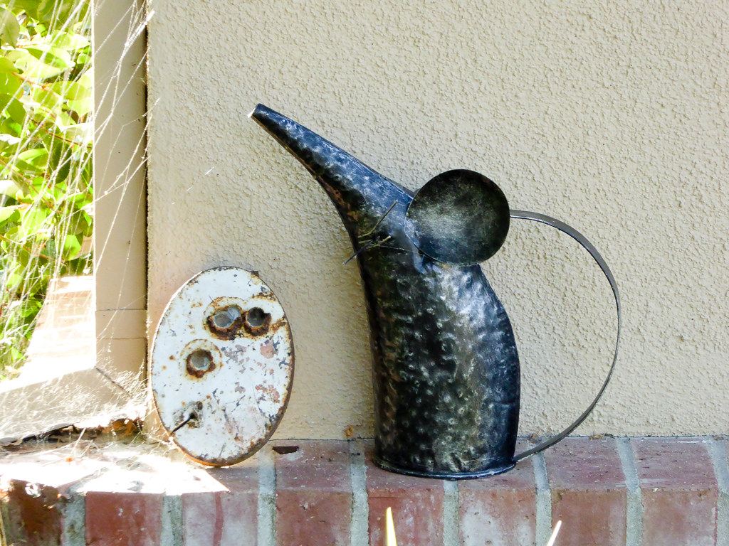
Rat Can

Pepper Chock Block

IMG_8090 Snowy Egret, Mountain View Shoreline Park, CA

Egret Strut

Gnarled Oak

sometimes you just need to wet your beak | atherton, ca

IMG_3580 Black-Crowned Night Heron

Heavenly shades of night are falling, it's twilight time ...

Heavenly Shades of Night are Falling -- Reprise

And the wind cries Mary

Home on the Farm
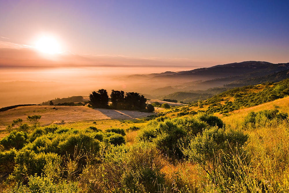
Skyline Sunrise
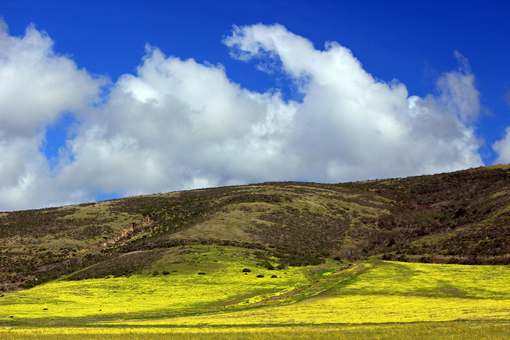
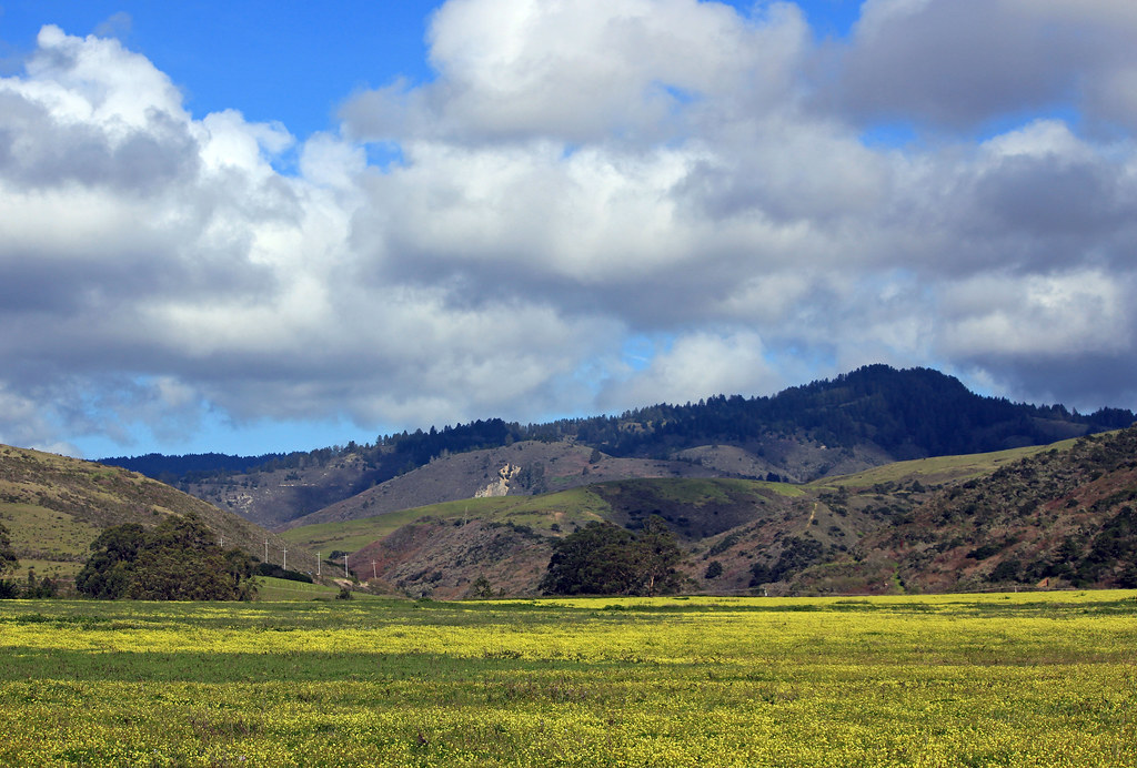
Clouds over Hills and Flowers
Purisima Creek

Redwood Shores
grassy hill
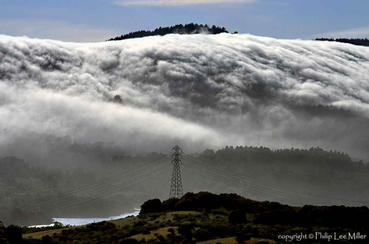
Power Meets Power

California shoreline in bloom

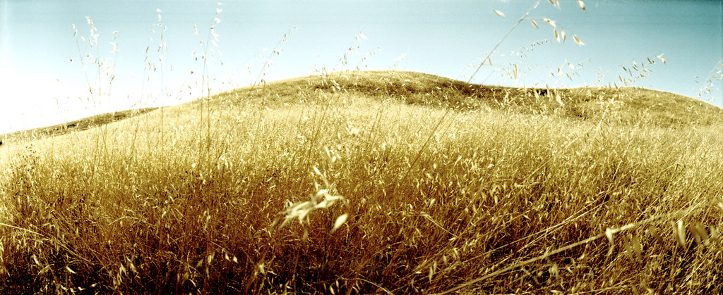
Fields of Gold

Arastradero Pasture

DSC00963.JPG

April Skies | Palo Alto

Gentle Afterglow
Way better than the DMV...
trail uphill

Stanford and Palo Alto
Hills and Clouds
Topographic Map of Mountain Home Rd, Woodside, CA, USA
Find elevation by address:

Places near Mountain Home Rd, Woodside, CA, USA:
Mountain Home Road
Mountain Home Road
707 La Honda Rd
Thornewood Open Space Preserve
99 Old La Honda Rd
Woodside
Woodside Rd, Woodside, CA, USA
Schilling Lake
Sky Londa
Family Farm - Hidden Valley
Ca-84 & Skyline Blvd
Alice's Restaurant
Woodside Glens
143 Alta Vista Rd
110 Wyndham Dr
Portola Valley
255 Highland Terrace
2 Wyndham Dr, Portola Valley, CA, USA
Highland Terrace, Woodside, CA, USA
17507 Skyline Blvd
Recent Searches:
- Elevation of Corso Fratelli Cairoli, 35, Macerata MC, Italy
- Elevation of Tallevast Rd, Sarasota, FL, USA
- Elevation of 4th St E, Sonoma, CA, USA
- Elevation of Black Hollow Rd, Pennsdale, PA, USA
- Elevation of Oakland Ave, Williamsport, PA, USA
- Elevation of Pedrógão Grande, Portugal
- Elevation of Klee Dr, Martinsburg, WV, USA
- Elevation of Via Roma, Pieranica CR, Italy
- Elevation of Tavkvetili Mountain, Georgia
- Elevation of Hartfords Bluff Cir, Mt Pleasant, SC, USA