Elevation of Mount Zuqualla, Ethiopia
Location: Ethiopia > Oromia >
Longitude: 38.866667
Latitude: 8.55
Elevation: 2673m / 8770feet
Barometric Pressure: 73KPa
Elevation Map:
Satellite Map:
Related Photos:
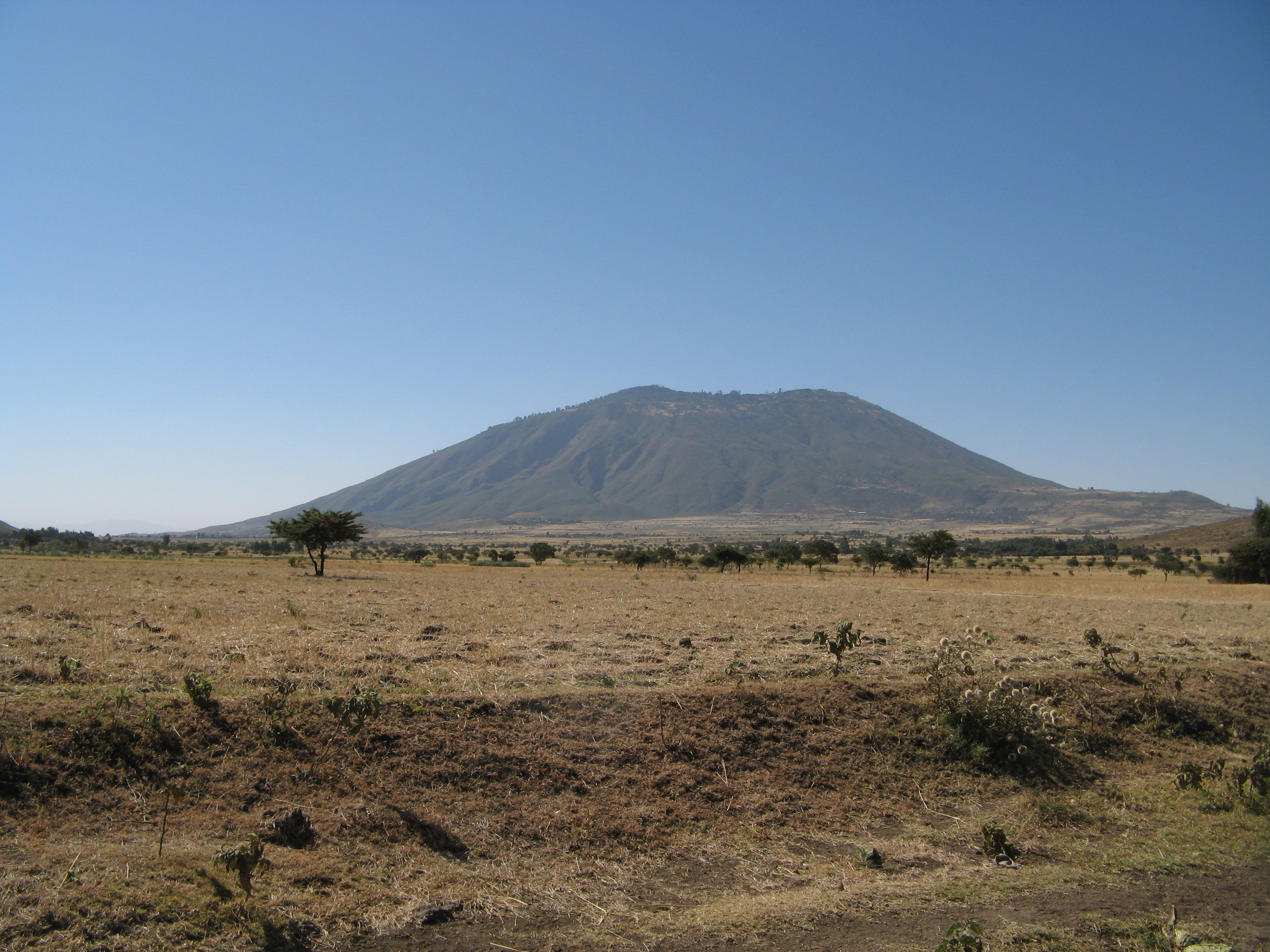
Mount Zuqualla from the North

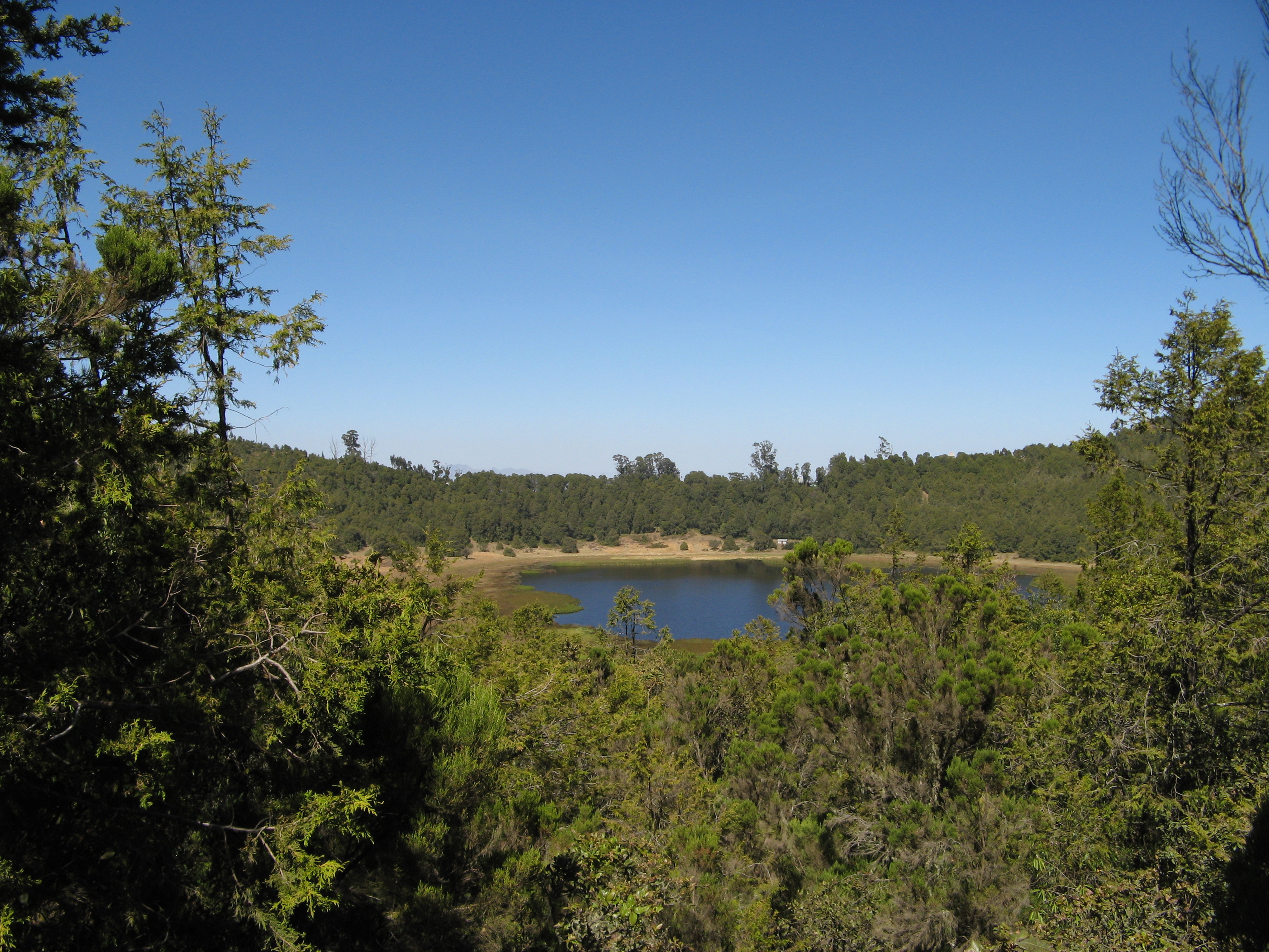
Crater lake 1
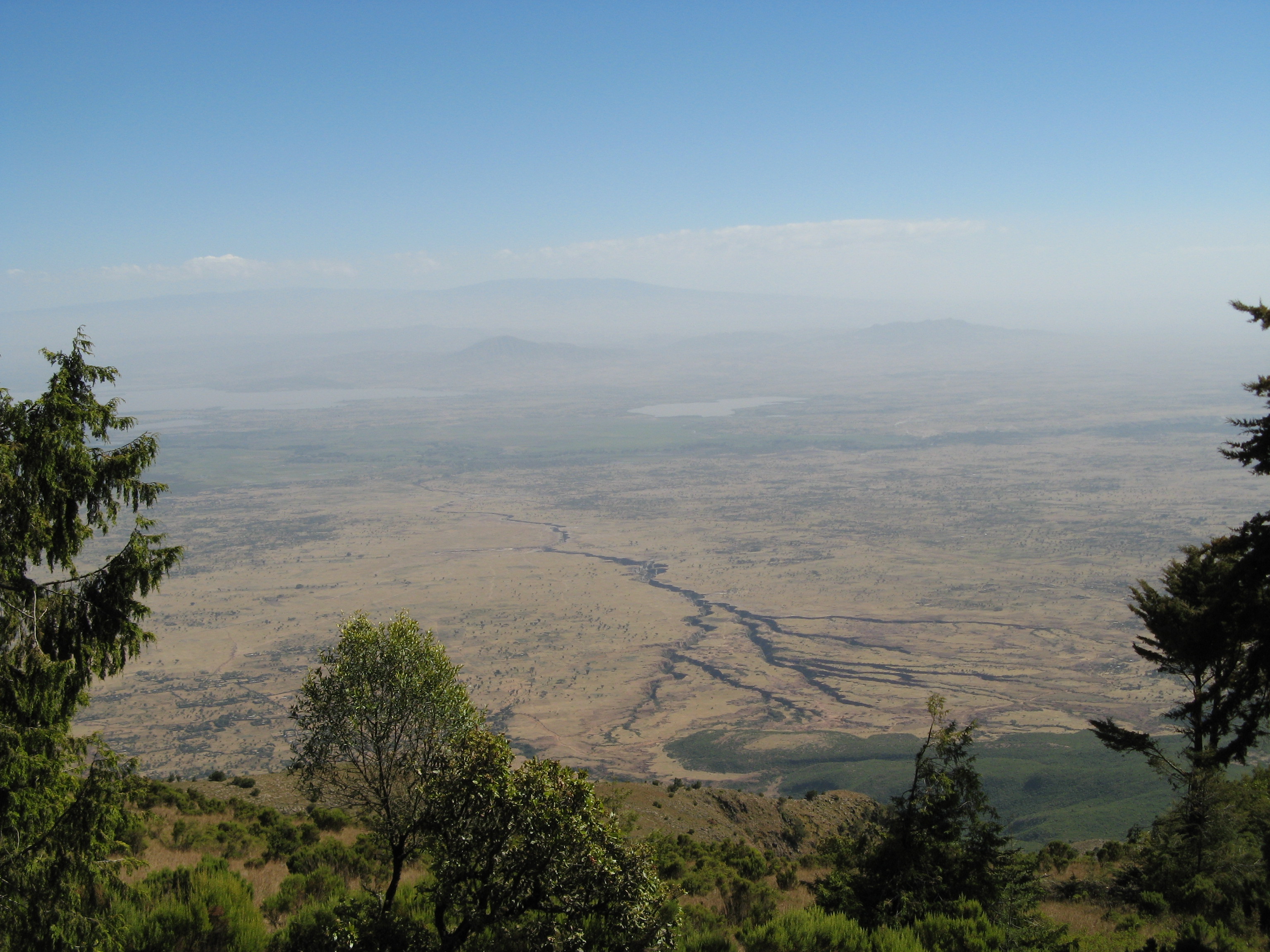
Towards the lakes
Crater lake 2
Topographic Map of Mount Zuqualla, Ethiopia
Find elevation by address:

Places near Mount Zuqualla, Ethiopia:
Jida
Bishoftu
Bishoftu Town
Mojo
Babogaya Resort
Addis Ababa Science And Technology University
Akaki Kality Sub City Administration
St. Gabriel (ቅዱስ ገብርኤል)
Nifas Silk Lafto Sub City Government Office
Alem Gena
Addis Ababa Airport
Bole
Addis Ababa
Addis Ababa
Kirkos
Guinea Conakry Street
Lideta
Raya Pension
Admas University
Taitu Street
Recent Searches:
- Elevation of Corso Fratelli Cairoli, 35, Macerata MC, Italy
- Elevation of Tallevast Rd, Sarasota, FL, USA
- Elevation of 4th St E, Sonoma, CA, USA
- Elevation of Black Hollow Rd, Pennsdale, PA, USA
- Elevation of Oakland Ave, Williamsport, PA, USA
- Elevation of Pedrógão Grande, Portugal
- Elevation of Klee Dr, Martinsburg, WV, USA
- Elevation of Via Roma, Pieranica CR, Italy
- Elevation of Tavkvetili Mountain, Georgia
- Elevation of Hartfords Bluff Cir, Mt Pleasant, SC, USA