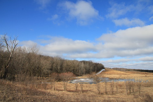
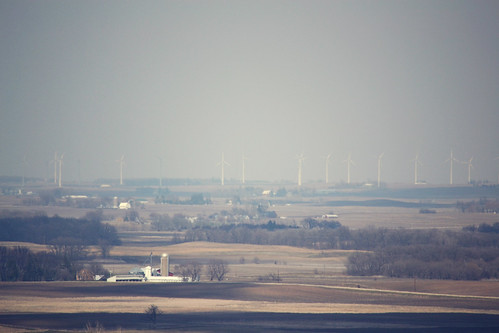
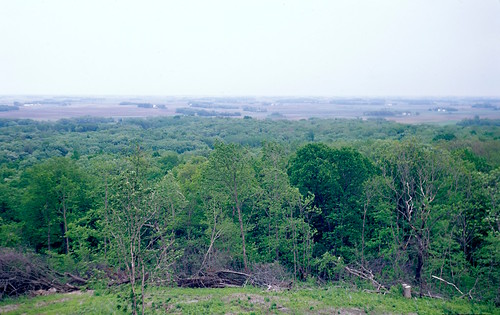
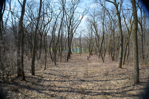
Elevation of Mount Valley, Mt Valley, IA, USA
Location: United States > Iowa > Hancock County >
Longitude: -93.561026
Latitude: 43.2935046
Elevation: 382m / 1253feet
Barometric Pressure: 97KPa
Related Photos:
Topographic Map of Mount Valley, Mt Valley, IA, USA
Find elevation by address:

Places near Mount Valley, Mt Valley, IA, USA:
21270 Ia-9
21270 Ia-9
21270 Ia-9
Center
Leland
W Broadway, Leland, IA, USA
120 Cathedral Oaks Rd
Winnebago County
Forest
Lake Mills
W Main St, Lake Mills, IA, USA
Concord
Ventura
Grouse Avenue
2 E Lake St, Ventura, IA, USA
Garner
880 E Lyons St
Dandyland Farms
Clear Lake
Worth County
Recent Searches:
- Elevation of Corso Fratelli Cairoli, 35, Macerata MC, Italy
- Elevation of Tallevast Rd, Sarasota, FL, USA
- Elevation of 4th St E, Sonoma, CA, USA
- Elevation of Black Hollow Rd, Pennsdale, PA, USA
- Elevation of Oakland Ave, Williamsport, PA, USA
- Elevation of Pedrógão Grande, Portugal
- Elevation of Klee Dr, Martinsburg, WV, USA
- Elevation of Via Roma, Pieranica CR, Italy
- Elevation of Tavkvetili Mountain, Georgia
- Elevation of Hartfords Bluff Cir, Mt Pleasant, SC, USA
