Elevation of IA-9, Forest City, IA, USA
Location: United States > Iowa > Hancock County > Mount Valley >
Longitude: -93.571568
Latitude: 43.2699959
Elevation: 379m / 1243feet
Barometric Pressure: 97KPa
Elevation Map:
Satellite Map:
Related Photos:
An Awakening.... To Arouse From A Deep Sleep

Bank Block (rear view) - Forest City, IA

Ever Been TP'D ?
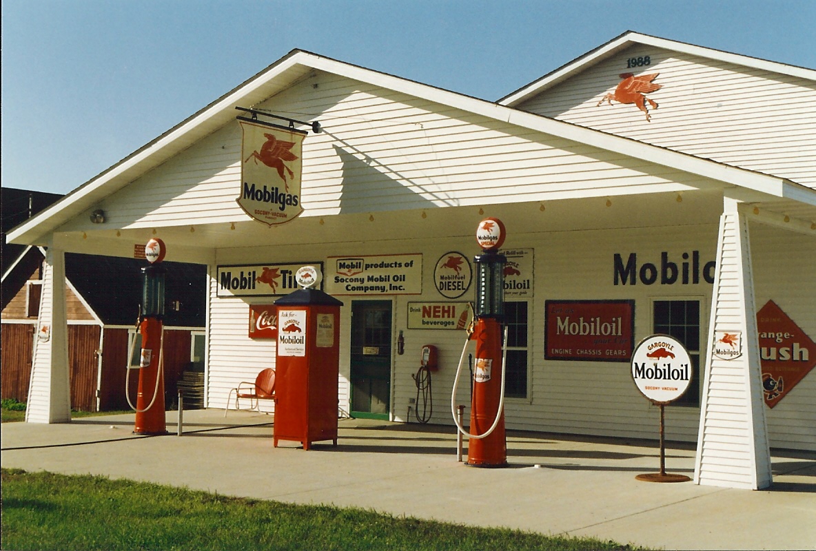
Mobil Oil, Iowa, Joice (9,004)
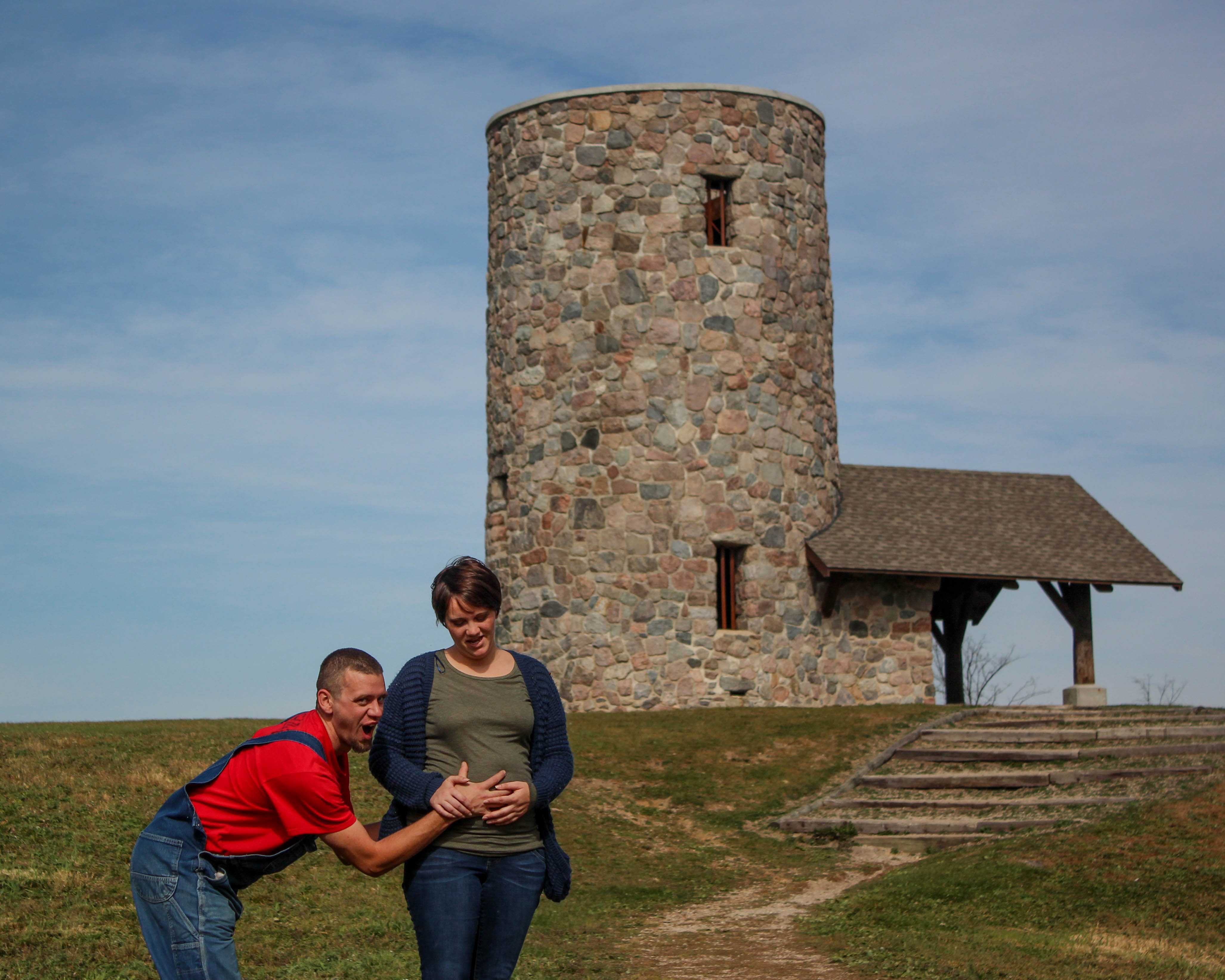
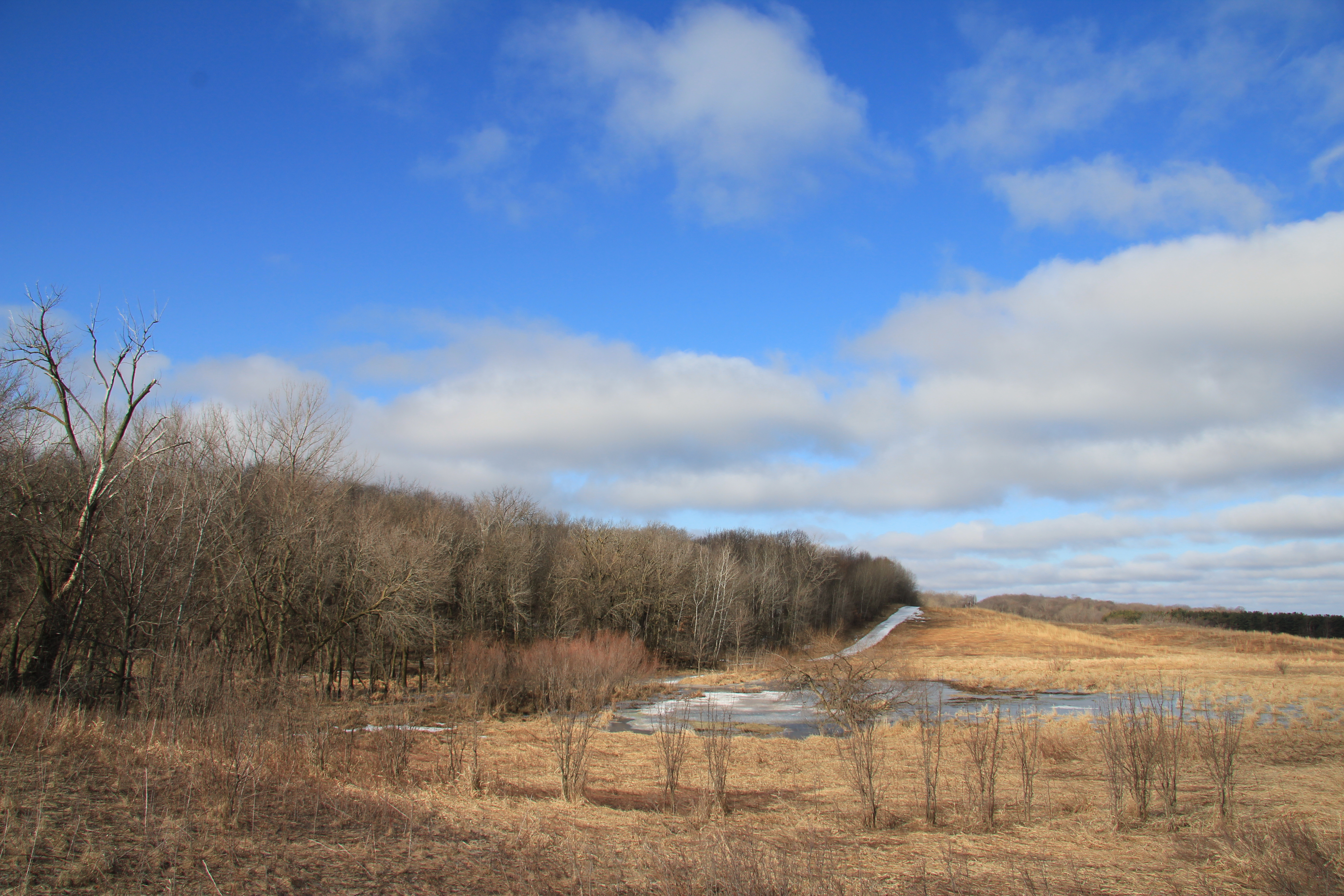
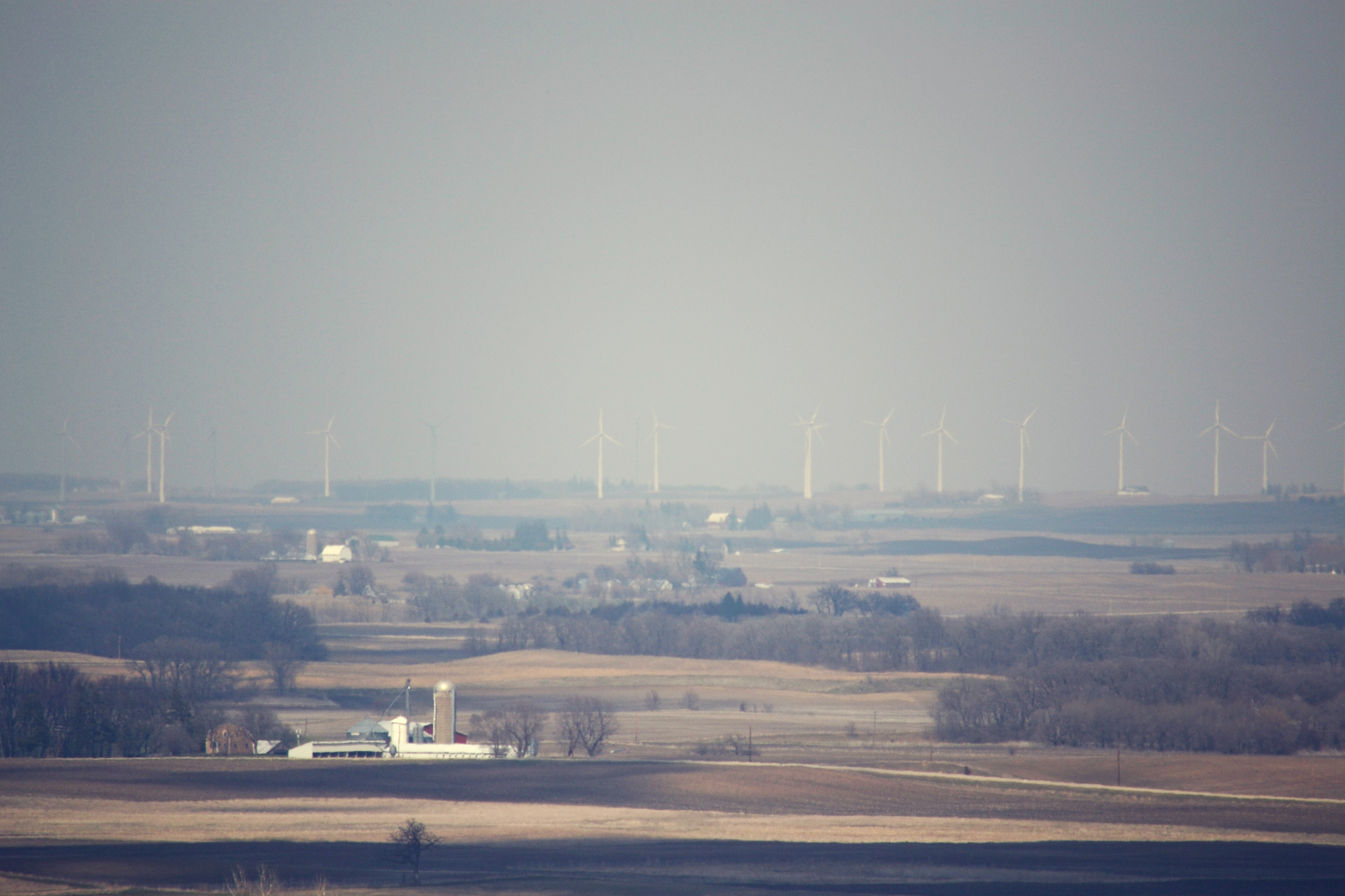
Pilot Knob State Park

Pilot Knob State Park

Pilot Knob State Park
Sunrise in Iowa

Painted By Nature . . .
Iowa landscape.
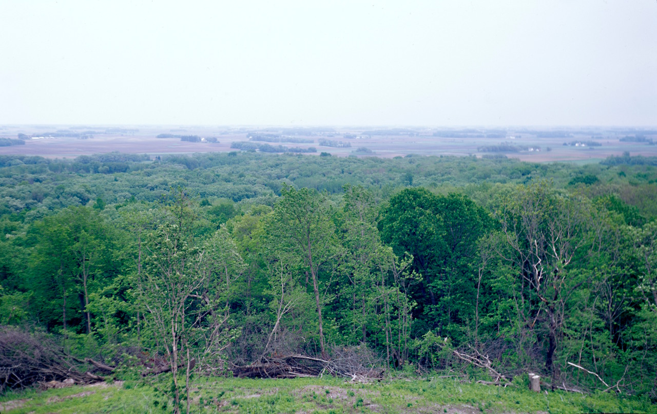
Pilot Knob State Park

Adventure.
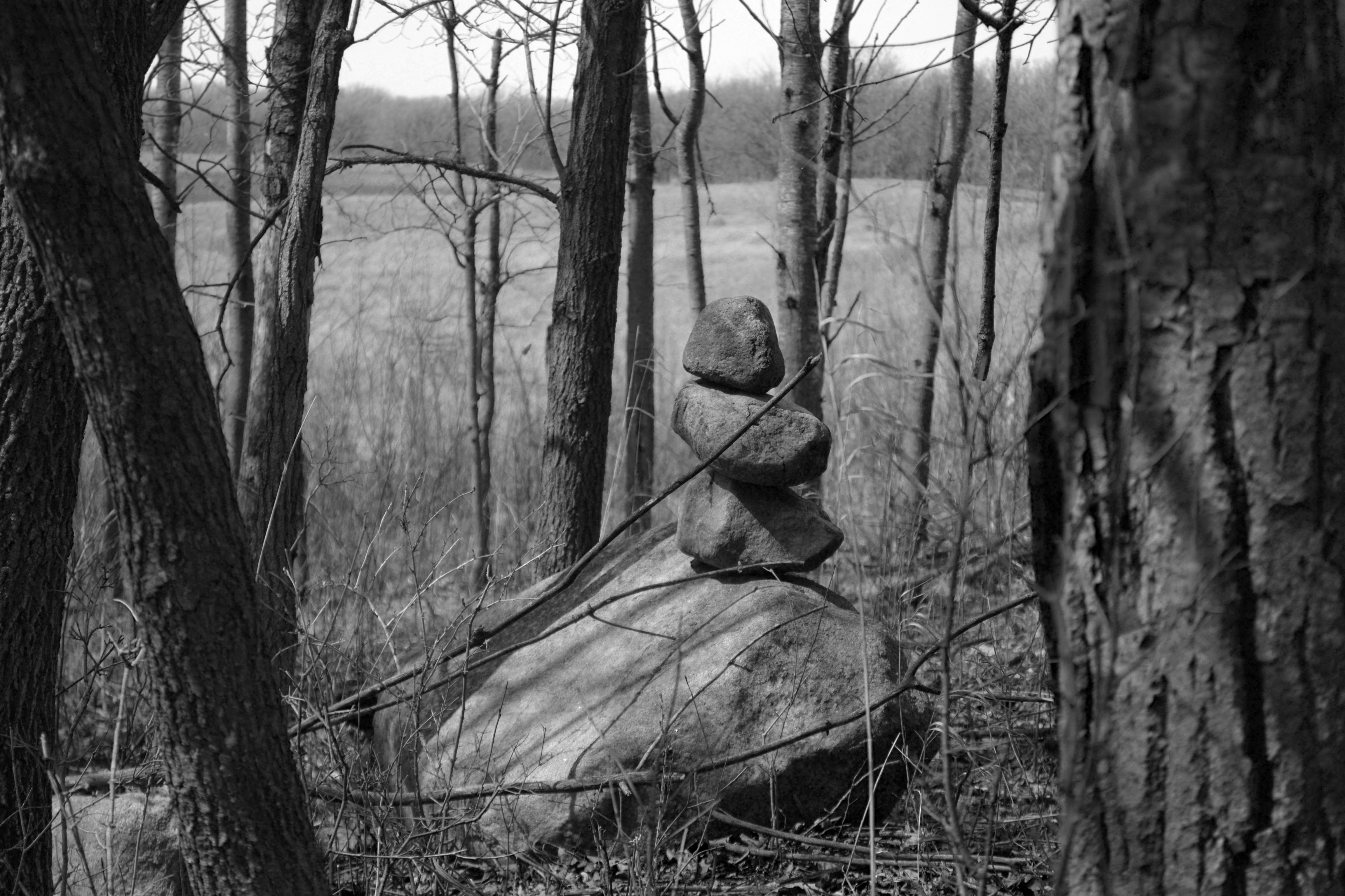
Balance.life.peace.

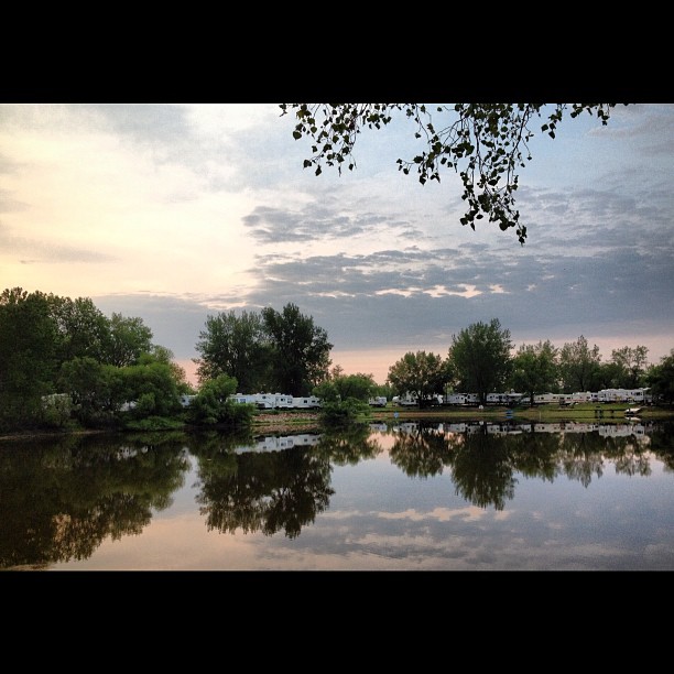
Winnebago River

Winnebago River
Topographic Map of IA-9, Forest City, IA, USA
Find elevation by address:

Places near IA-9, Forest City, IA, USA:
21270 Ia-9
21270 Ia-9
Mount Valley
120 Cathedral Oaks Rd
Leland
W Broadway, Leland, IA, USA
Center
Forest
Winnebago County
Concord
Lake Mills
W Main St, Lake Mills, IA, USA
Ventura
Garner
2 E Lake St, Ventura, IA, USA
880 E Lyons St
Grouse Avenue
Dandyland Farms
Clear Lake
214 N 3rd St
Recent Searches:
- Elevation of Corso Fratelli Cairoli, 35, Macerata MC, Italy
- Elevation of Tallevast Rd, Sarasota, FL, USA
- Elevation of 4th St E, Sonoma, CA, USA
- Elevation of Black Hollow Rd, Pennsdale, PA, USA
- Elevation of Oakland Ave, Williamsport, PA, USA
- Elevation of Pedrógão Grande, Portugal
- Elevation of Klee Dr, Martinsburg, WV, USA
- Elevation of Via Roma, Pieranica CR, Italy
- Elevation of Tavkvetili Mountain, Georgia
- Elevation of Hartfords Bluff Cir, Mt Pleasant, SC, USA