Elevation of Worth County, IA, USA
Location: United States > Iowa >
Longitude: -93.338891
Latitude: 43.3580686
Elevation: 385m / 1263feet
Barometric Pressure: 97KPa
Elevation Map:
Satellite Map:
Related Photos:
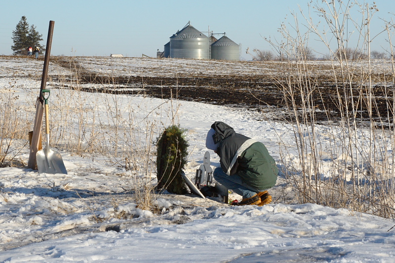
Viewing the Monument
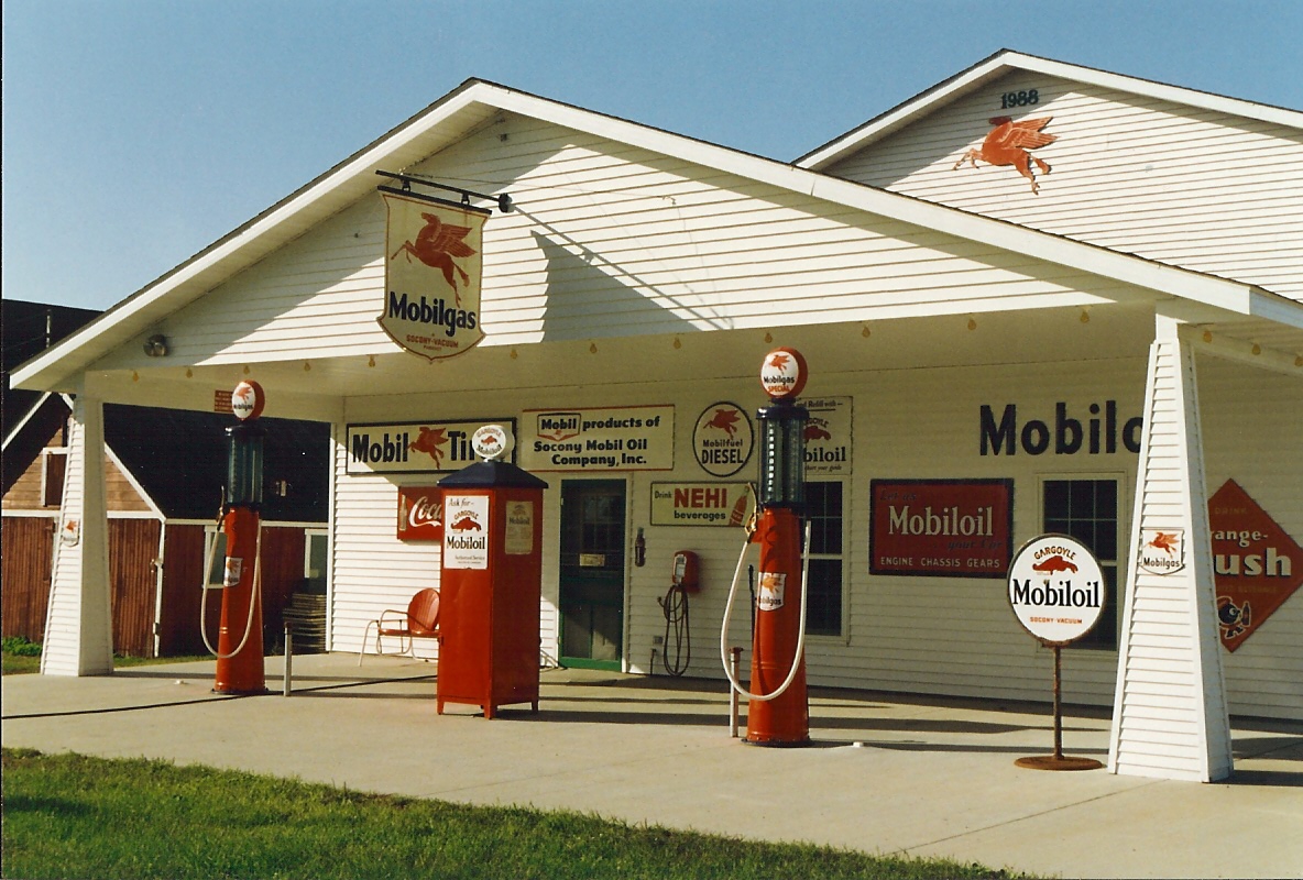
Mobil Oil, Iowa, Joice (9,004)

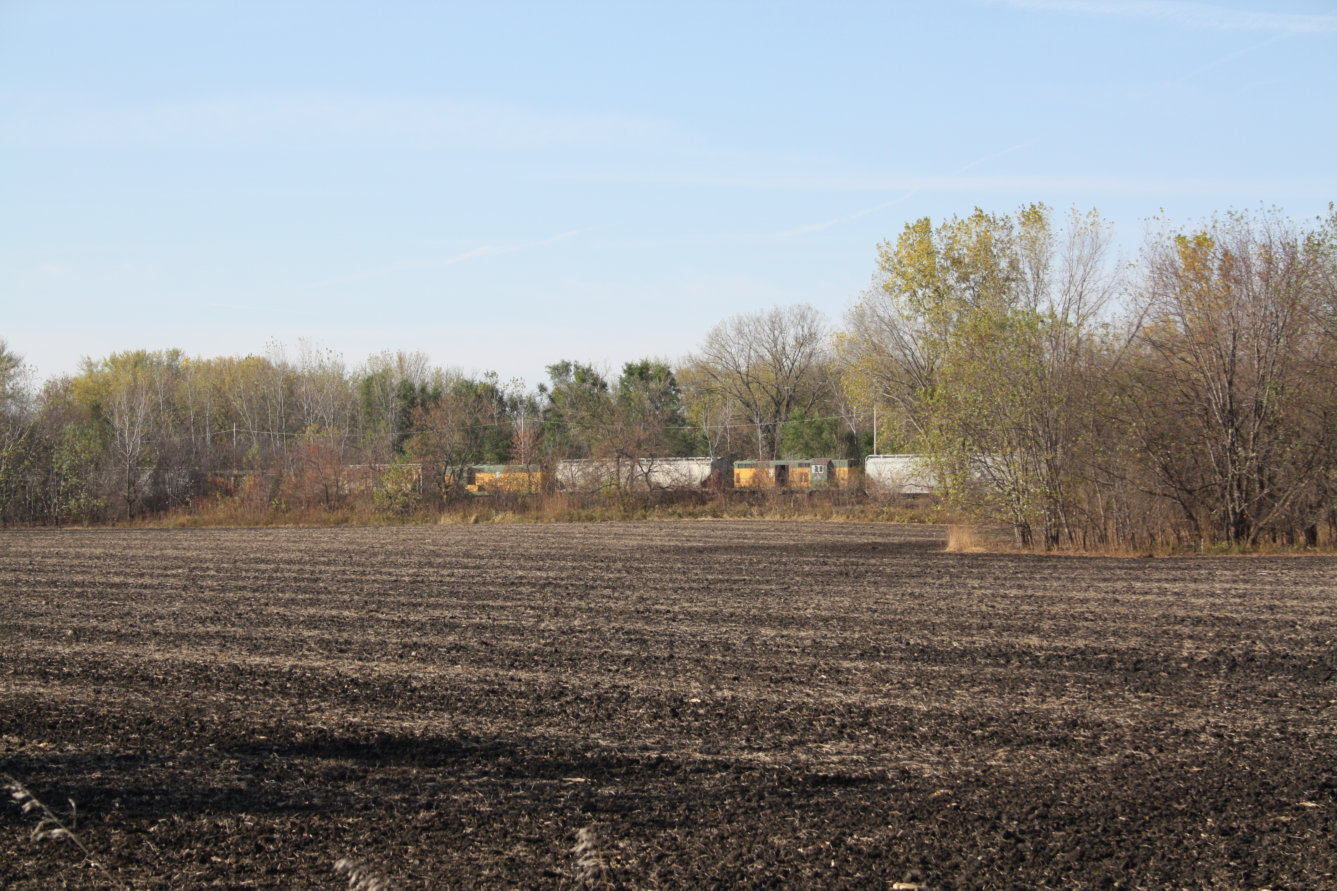
Iowa Northern Local

Dead Machine

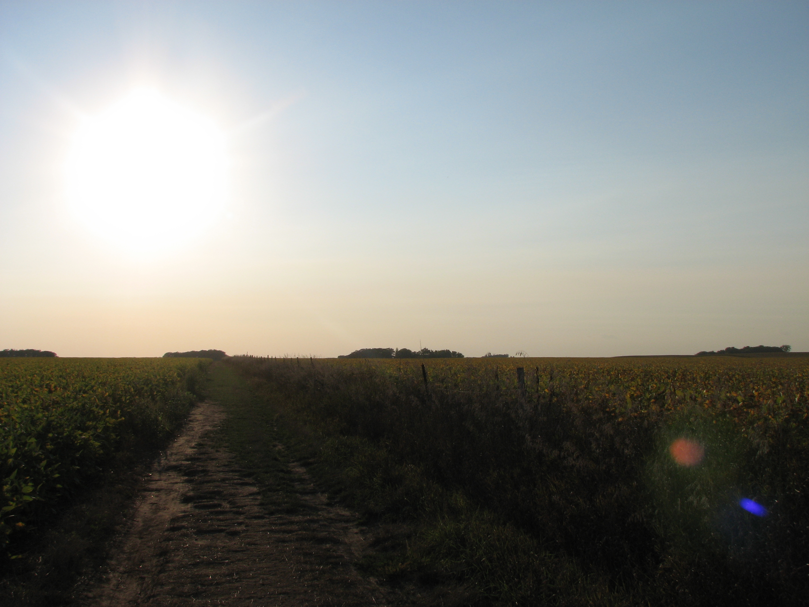
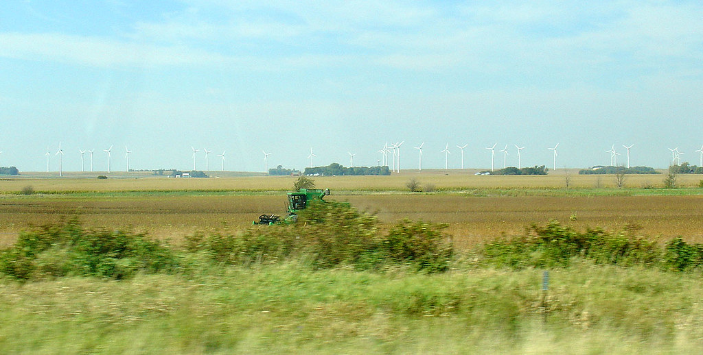
Dry Soy Beans
Buddy Holly Place

Day the Music Died Site
Buddy Holly Place
CNW geeps return to Manly, IA
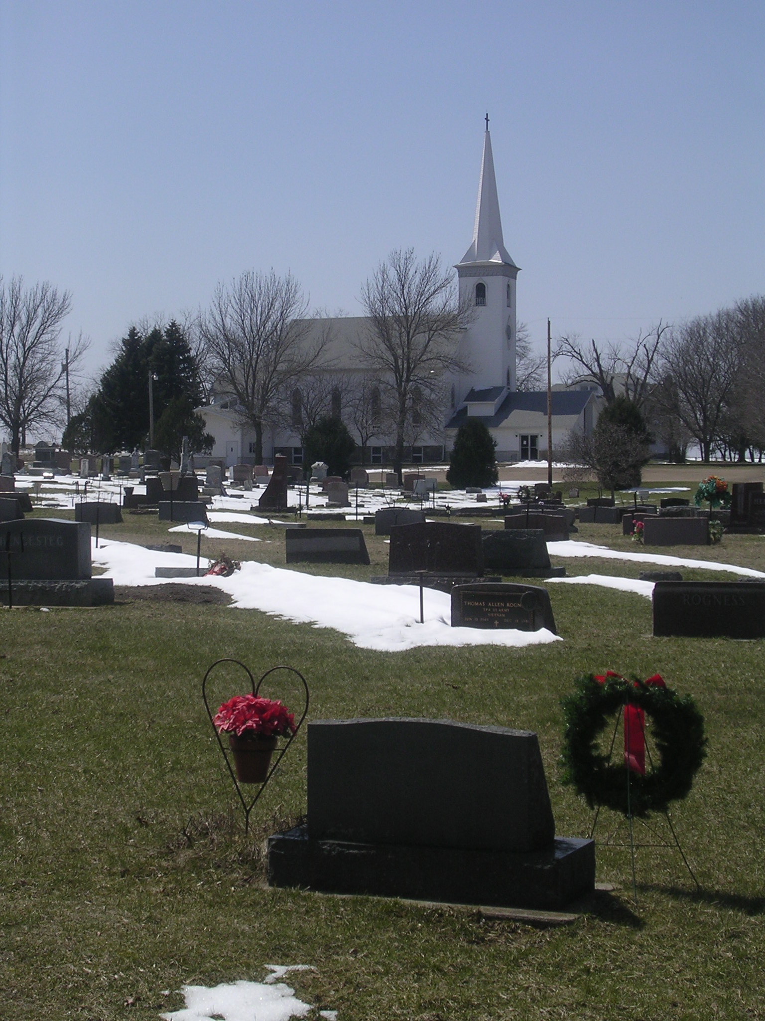
Silver Lake Lutheran Church
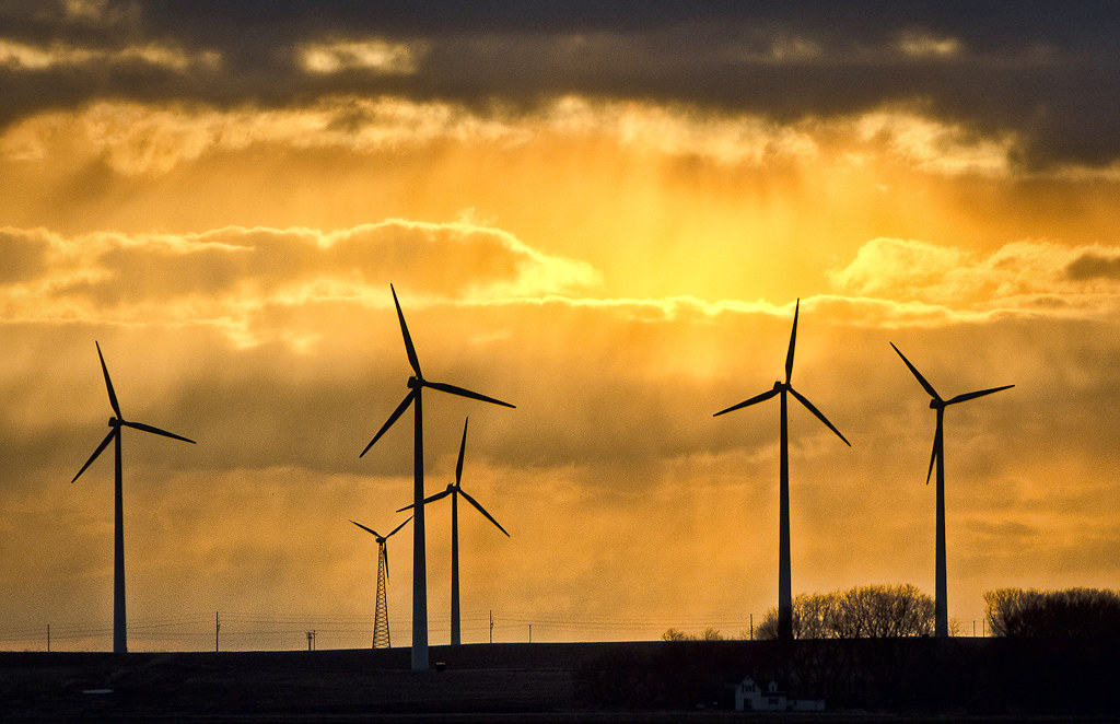
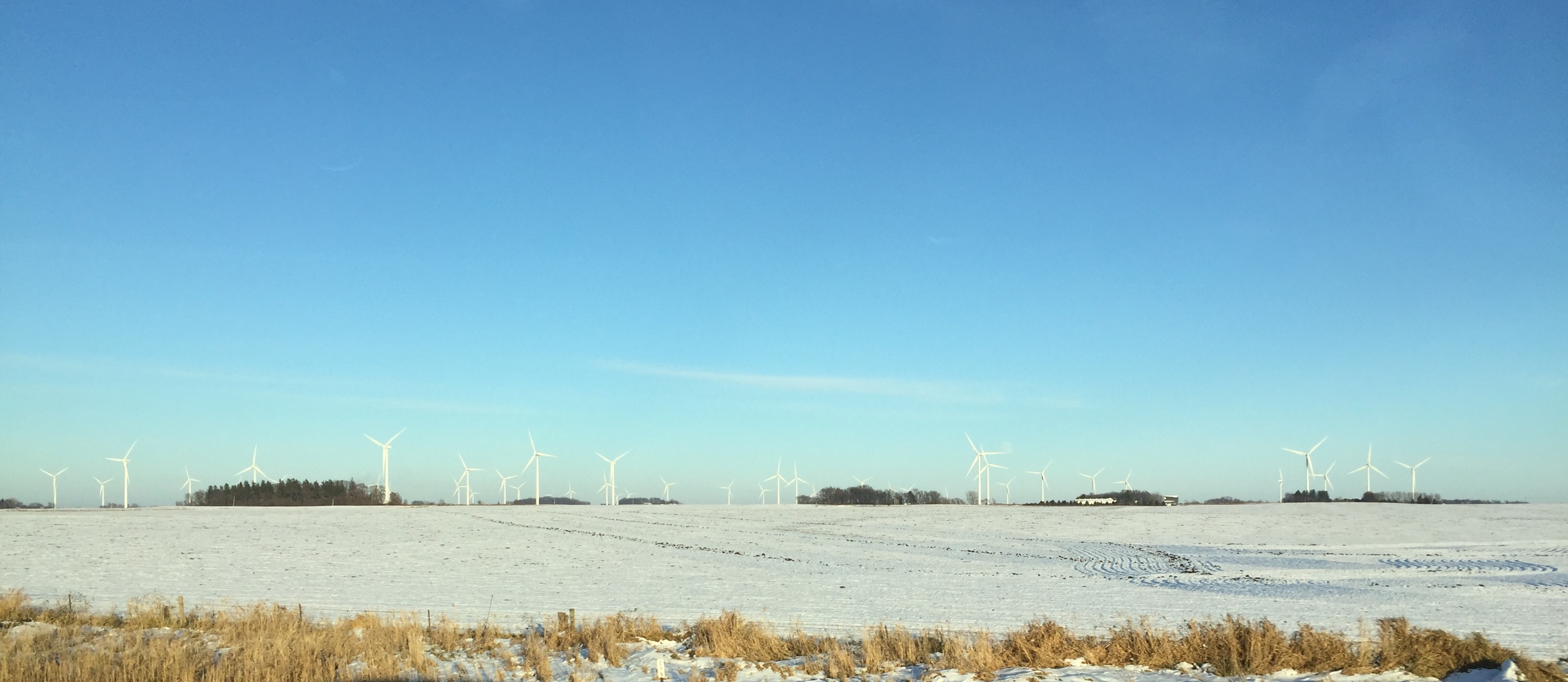
Iowa Wind Power

Old Silo

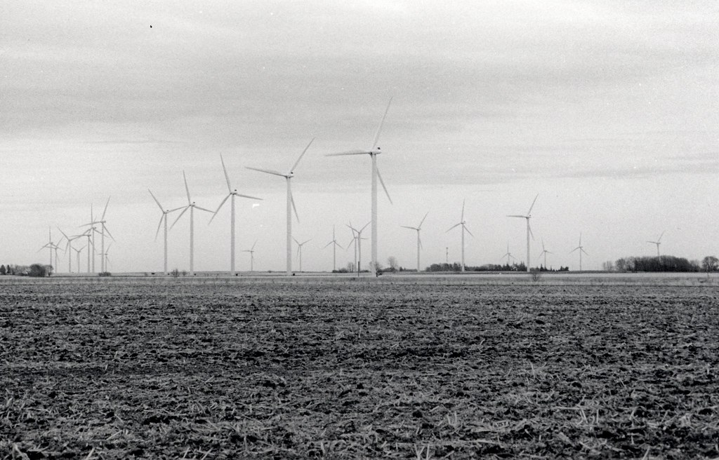
Iowa Wind Farm

Iowa Windmills
Windmills in north Iowa, 22 Sept 2004
Human Impact 8
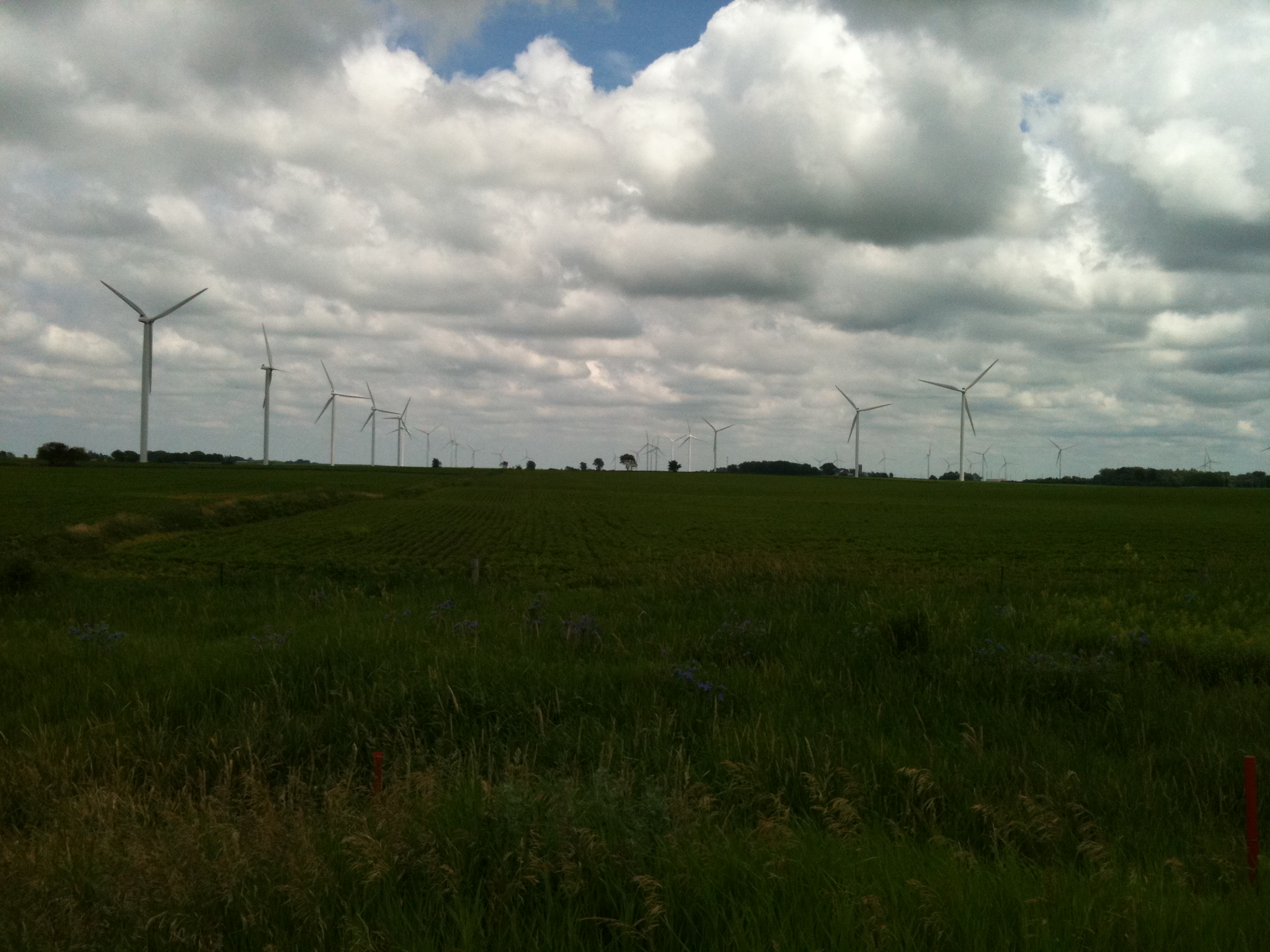
wind turbines, northern Iowa
Greetings from Sustainable Iowa
Topographic Map of Worth County, IA, USA
Find elevation by address:

Places in Worth County, IA, USA:
Places near Worth County, IA, USA:
Grouse Avenue
Northwood
206 7th St N
E Main St, Manly, IA, USA
Grove
th St, Glenville, MN, USA
Lime Creek
th St, Mason City, IA, USA
Shell Rock Township
Lake Mills
W Main St, Lake Mills, IA, USA
Clear Lake
Twin Lakes
Miller Dr, Twin Lakes, MN, USA
1012 3rd Ave N
Center
W Main St, Glenville, MN, USA
10 N 6th St, Clear Lake, IA, USA
214 N 3rd St
S Eisenhower Ave, Mason City, IA, USA
Recent Searches:
- Elevation of Corso Fratelli Cairoli, 35, Macerata MC, Italy
- Elevation of Tallevast Rd, Sarasota, FL, USA
- Elevation of 4th St E, Sonoma, CA, USA
- Elevation of Black Hollow Rd, Pennsdale, PA, USA
- Elevation of Oakland Ave, Williamsport, PA, USA
- Elevation of Pedrógão Grande, Portugal
- Elevation of Klee Dr, Martinsburg, WV, USA
- Elevation of Via Roma, Pieranica CR, Italy
- Elevation of Tavkvetili Mountain, Georgia
- Elevation of Hartfords Bluff Cir, Mt Pleasant, SC, USA