Elevation of Mount Sniktau, Mt Sniktau, Colorado, USA
Location: United States > Colorado > Dillon >
Longitude: -105.85778
Latitude: 39.6783202
Elevation: 3952m / 12966feet
Barometric Pressure: 62KPa
Elevation Map:
Satellite Map:
Related Photos:

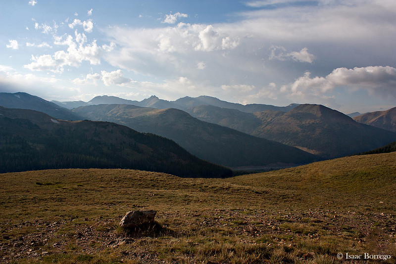
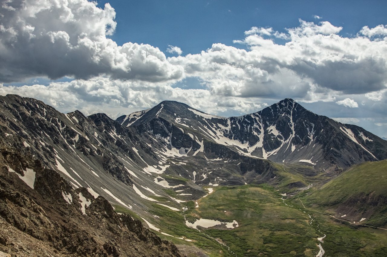
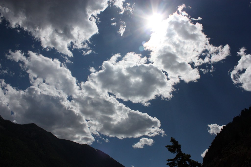
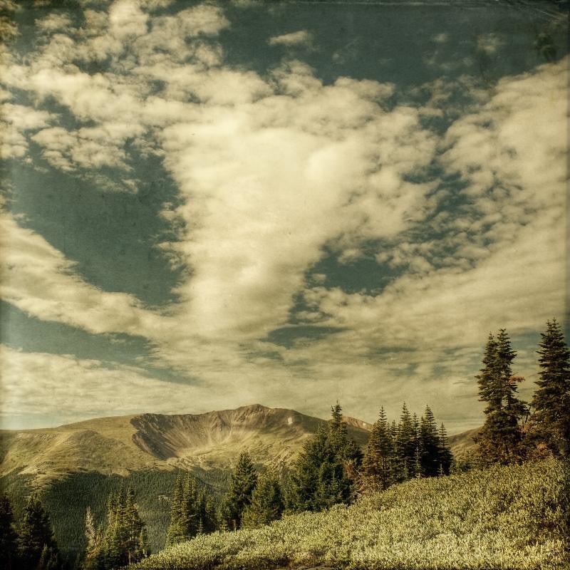
View From Torreys Peak
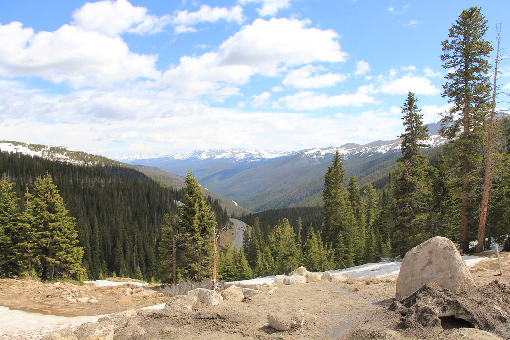
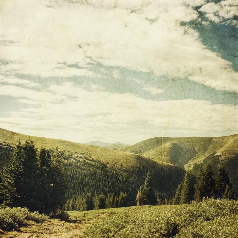
View from the Tundra - Loveland Pass, Colorado
Guanella Pass, Colorado

Pyramids in Colorado

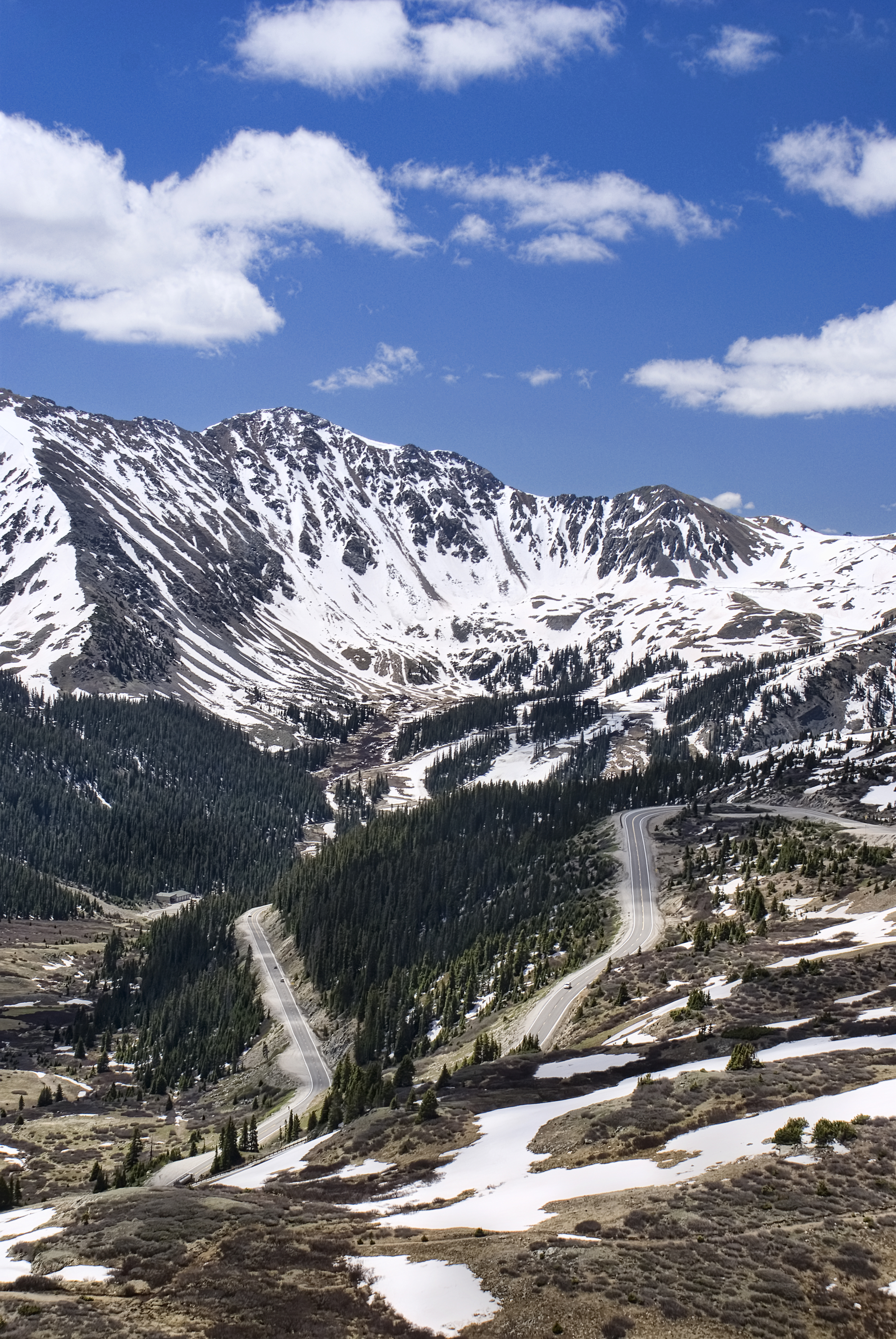
Loveland Pass View, Continental Divide, Colorado (DTA_4777)

Arapahoe Basin, Colorado

Bicycling Loveland Pass (DTA_4769)
loveland 1

Transitional Colors
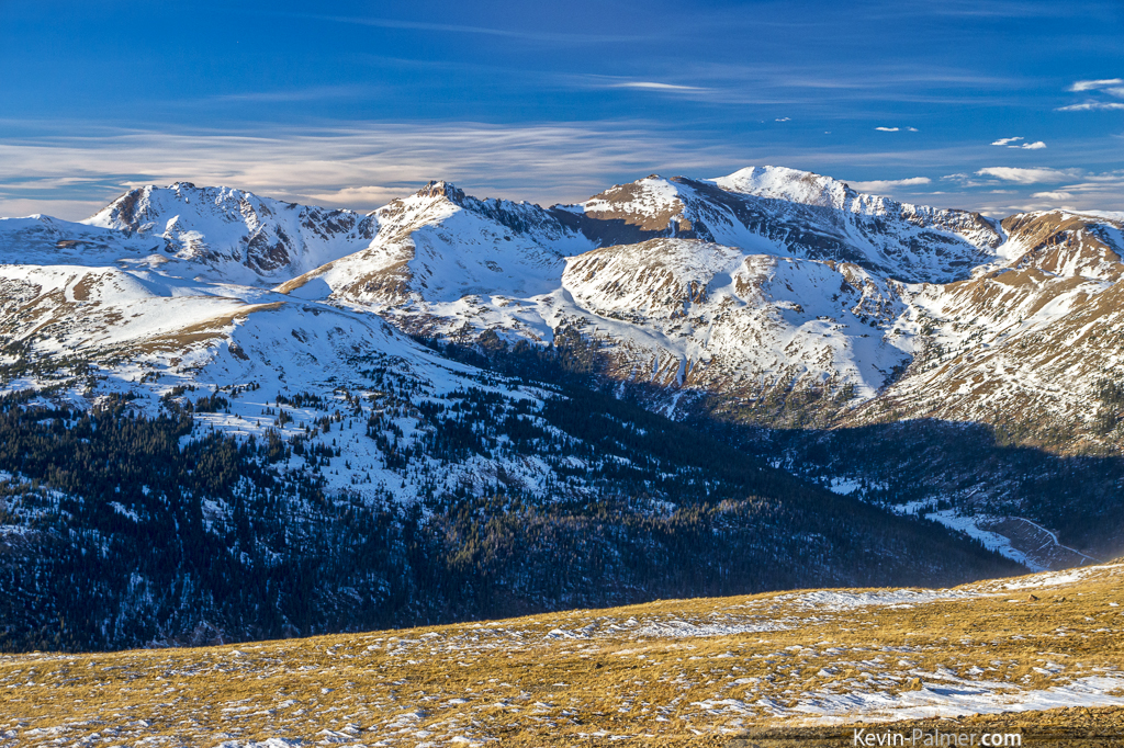
View from the Summit of Berthoud Pass
Top-O-The-World
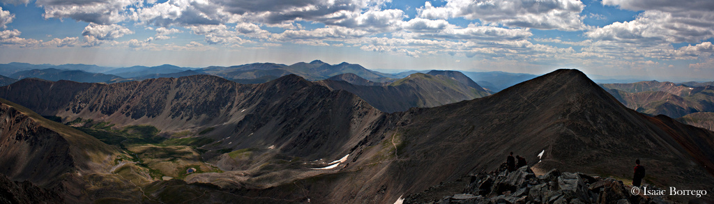
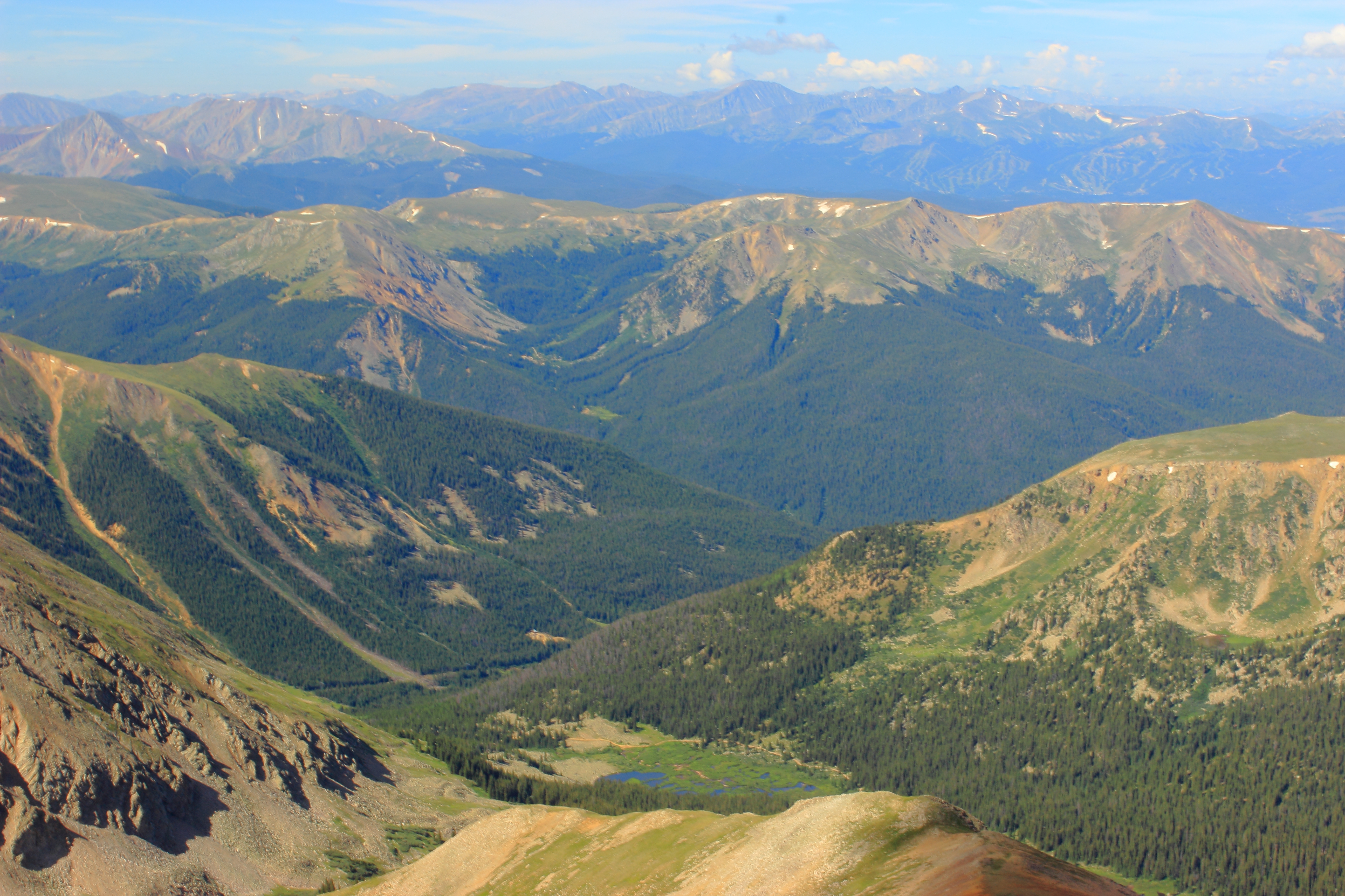
View from Torreys Peak
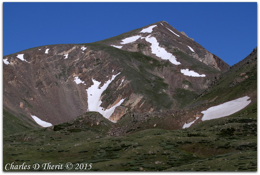
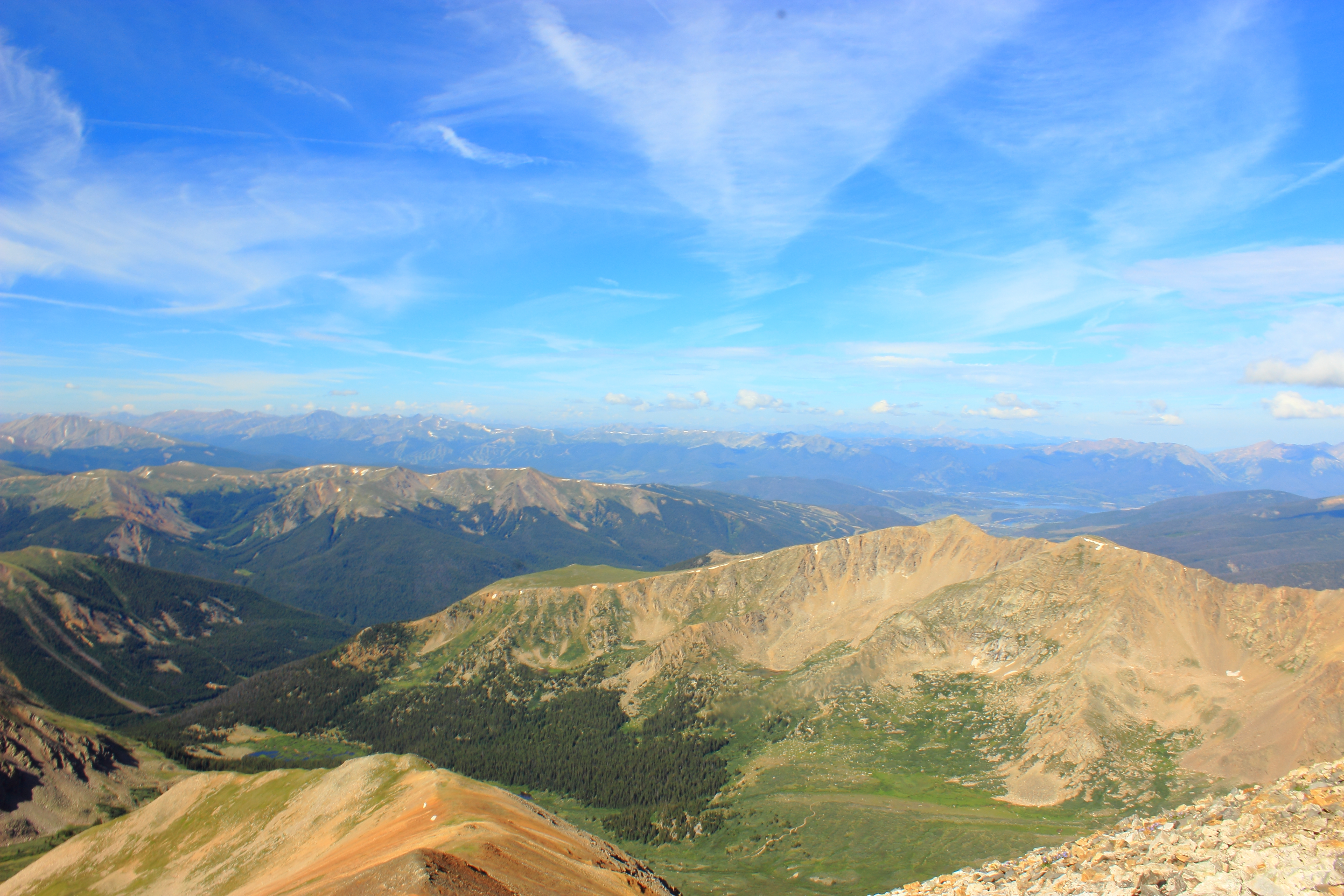
Grays Peak
Continental Divide
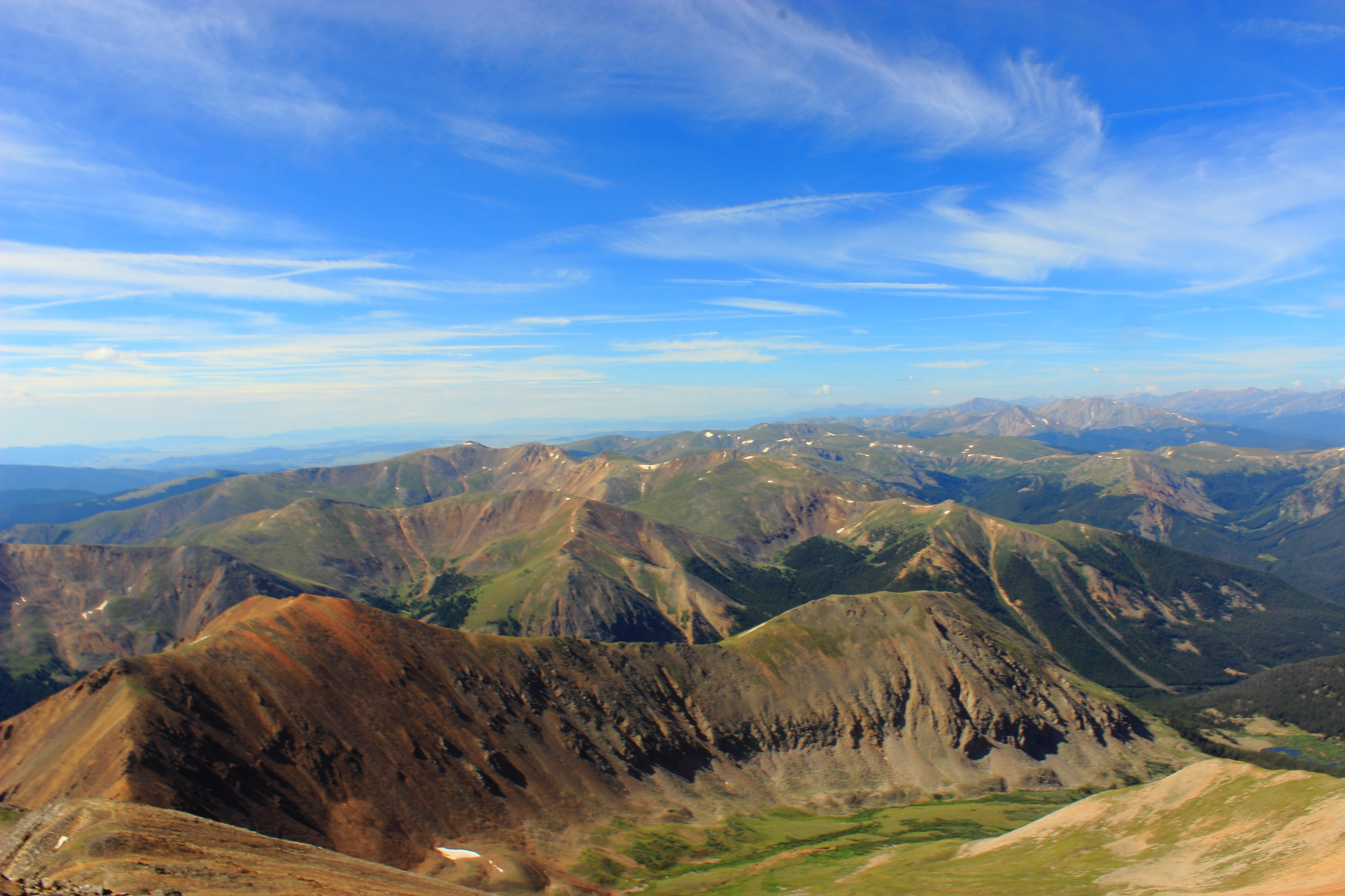
Mountain View
Grays Peak
Grays Peak
Atop the Devil's Gate

View from the Summit of Berthoud Pass
engelmann peak
treeline standing
Topographic Map of Mount Sniktau, Mt Sniktau, Colorado, USA
Find elevation by address:

Places near Mount Sniktau, Mt Sniktau, Colorado, USA:
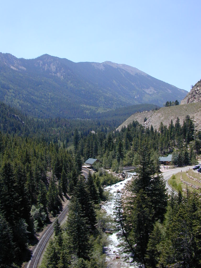
Loveland Pass
Mount Bethel
Arapahoe Basin Ski Area
Loveland Ski Area
Eisenhower Tunnel
Mount Trelease
Torreys Peak
Cooper Mountain
Coon Hill
1285 Montezuma Rd
Montezuma
Independence Mountain
Santa Fe Peak
River Run Road
Key Condo
Glacier Mountain
Hyatt Place Keystone
Keystone Resort
Keystone
Geneva Peak
Recent Searches:
- Elevation of Corso Fratelli Cairoli, 35, Macerata MC, Italy
- Elevation of Tallevast Rd, Sarasota, FL, USA
- Elevation of 4th St E, Sonoma, CA, USA
- Elevation of Black Hollow Rd, Pennsdale, PA, USA
- Elevation of Oakland Ave, Williamsport, PA, USA
- Elevation of Pedrógão Grande, Portugal
- Elevation of Klee Dr, Martinsburg, WV, USA
- Elevation of Via Roma, Pieranica CR, Italy
- Elevation of Tavkvetili Mountain, Georgia
- Elevation of Hartfords Bluff Cir, Mt Pleasant, SC, USA