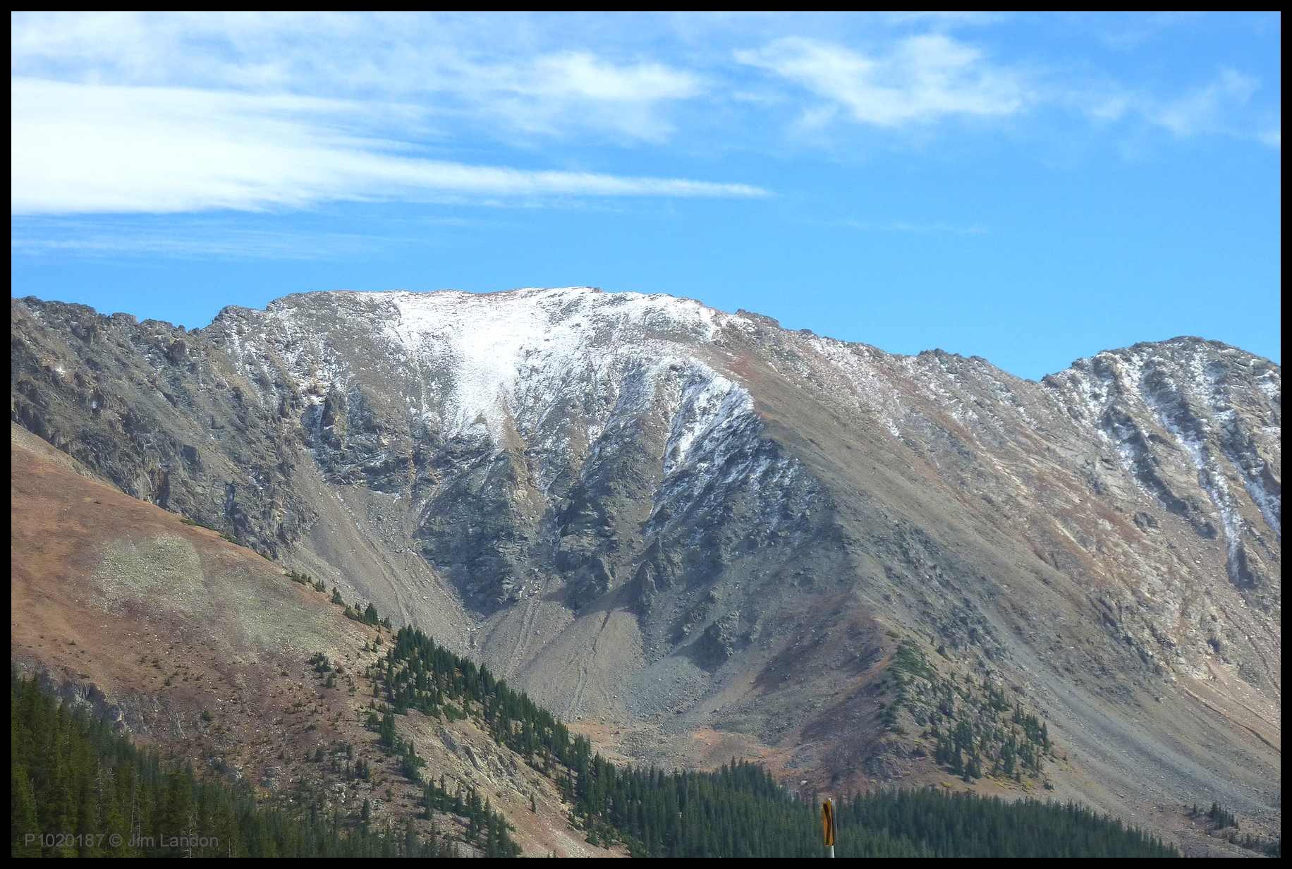
Elevation of Coon Hill, Colorado, USA

Location: United States > Colorado > Grand County > Parshall >

Longitude: -105.94529

Latitude: 39.6888756

Elevation: 3788m / 12428feet

Barometric Pressure: 63KPa

Elevation Map:

elevation map of Coon Hill, Colorado, USA

Satellite Map:

Satellite map of Coon Hill, Colorado, USA

Related Photos:

longexposure mountain lake mountains nature night stars landscape rockies star evening nikon colorado nightscape streak space satellite peak reservoir alpine astrophotography flare co summit dillon astronomy rockymountains keystone range iridium shootingstar lakedillon iridiumflare tenmilerange clff nikon1735 d700 platinumheartaward Astrometrydotnet:status=failed notreallyashootingstar prospectorcampground Astrometrydotnet:id=alpha20110643525906
Iridium Flare Over Lake Dillon
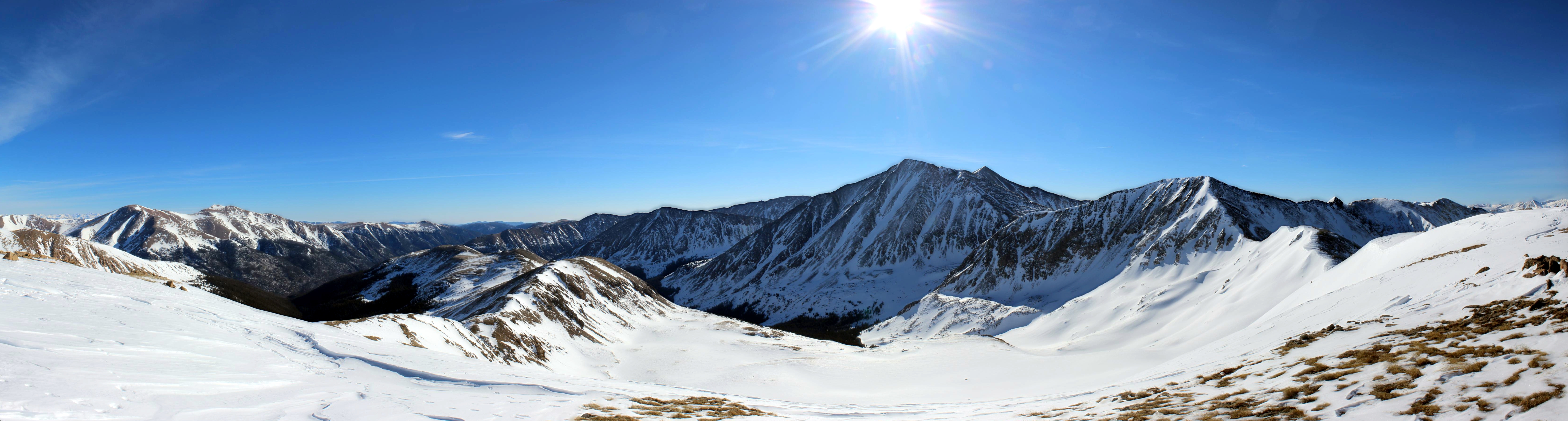
blue winter sky panorama sun snow mountains landscape colorado hiking rockymountains cupid frontrange lovelandpass grizzlypeak torreyspeak mountparnassus kelsomountain mountbard
Cupid View
sky mountain snow nature clouds landscape colorado peak rockymountains facebook bakerville 201203
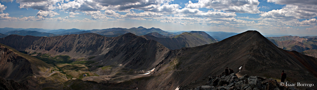
Pyramids in Colorado
blue trees sky mountain snow ski nature clouds landscape colorado skiing lift trails resort rockymountains keystone lovelandpass eastwall continentaldivide facebook arapahoebasin abasin 201304
Arapahoe Basin, Colorado
landscape colorado photoaday fujifilm keystone pictureaday fmsphotoaday x100s
Landscape PAD#8
blue usa lake mountains clouds forest geotagged ilovenature colorado explore northamerica dillon 300 hdr 1000 bestofthebest lakedillon photomatix flickrexplore tonemapped geo:lat=39631804 geo:lon=106057978 sipbotbfs slickrframe
Lake Dillon
mountains landscape scenery colorado valley rockymountains keystone lovelandpass alpinescenery beautifulvalleys
Looking west from Loveland Pass, Colorado
road trip travel trees usa brown mountains color colour tree green america forest canon point landscape rockies drive see movement scenery colorado colorful shoot view web pass rocky ps move american berthoud colourful switchback ixy 11306 canonixy driverpic 3446m
Greyhound over Berthoud Pass
skysunsetcoloradomountainsrockiespinkskieslandscapesnowwinter
Super Bowl Sunset
camping sunset summer sky mountains nature horizontal clouds manipulated landscape outdoors photography colorado scenic stormy rockymountains breckenridge idyllic pinetrees tranquil frisco tistheseason beautyinnature traveldestination peakonecampground
Paint the Sky with Stars
square lofi squareformat iphoneography instagramapp uploaded:by=instagram
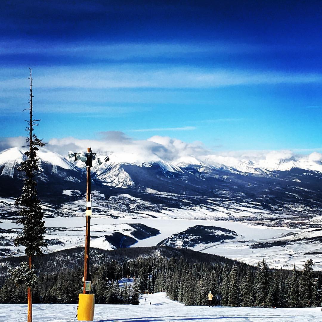
The view! #colorado #homeschool #ski #keystone
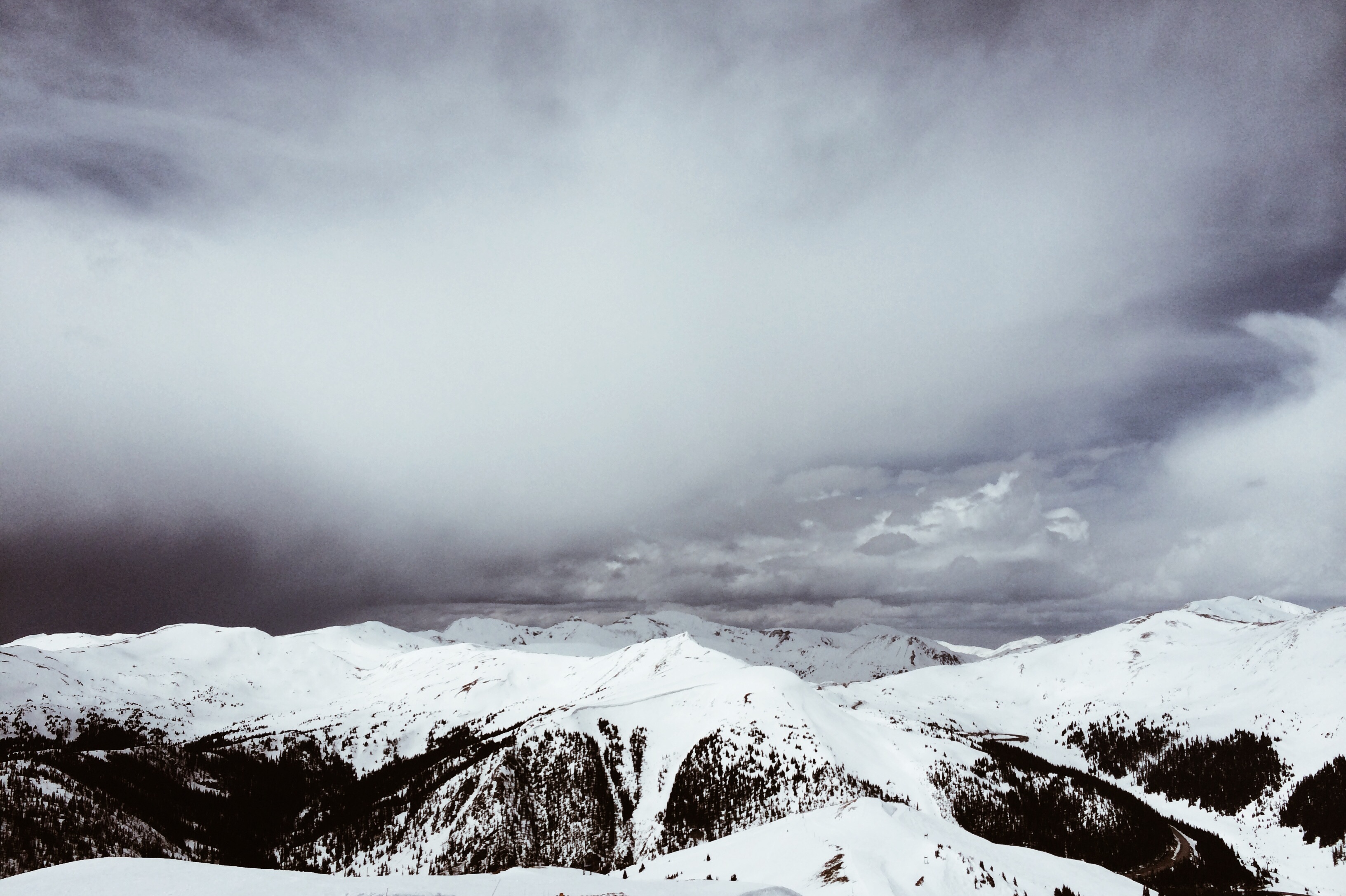
snow mountains spring colorado afternoon vista rockymountains dailies arapahoebasin mountainrange 2014 iphone5s
05-17-2014
mountains landscape colorado loveland rockymountains tundra lovelandpass
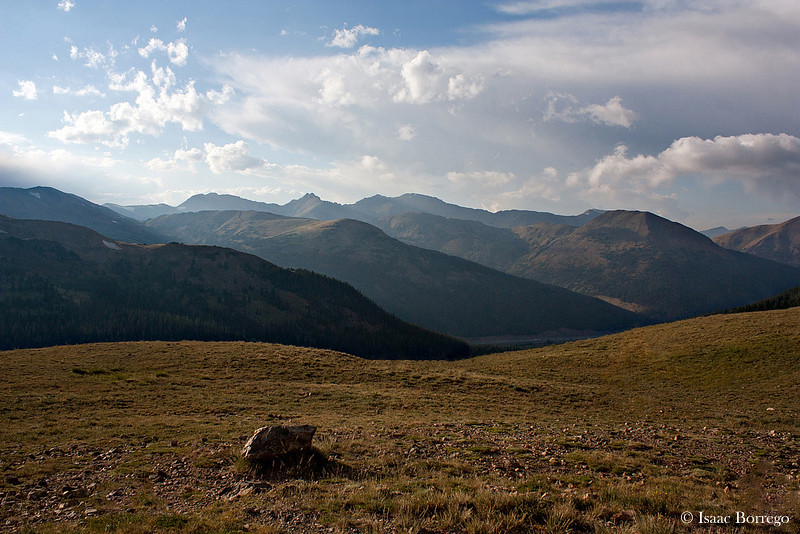
View from the Tundra - Loveland Pass, Colorado
road 6 landscape freshair climb us colorado view unitedstates pass denver panoramic photograph views watershed co dillon rockymountains winding lovelandpass continentaldivide us6 greatdivide
Loveland Pass View, Continental Divide, Colorado (DTA_4777)
road 6 freshair bicycling climb us colorado view unitedstates climbing achievement watershed biking co dillon effort rockymountains winding interstate workout i70 lovelandpass continentaldivide us6 greatdivide
Bicycling Loveland Pass (DTA_4769)
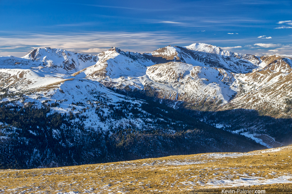
View from Torreys Peak
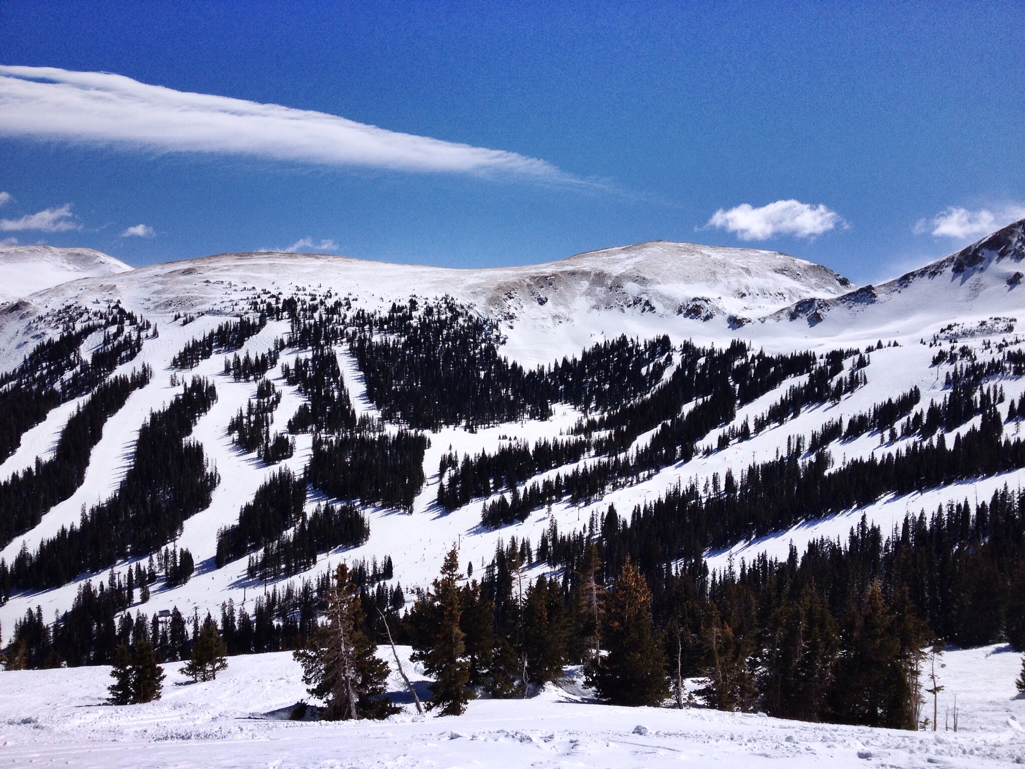
Northern view of Loveland ski
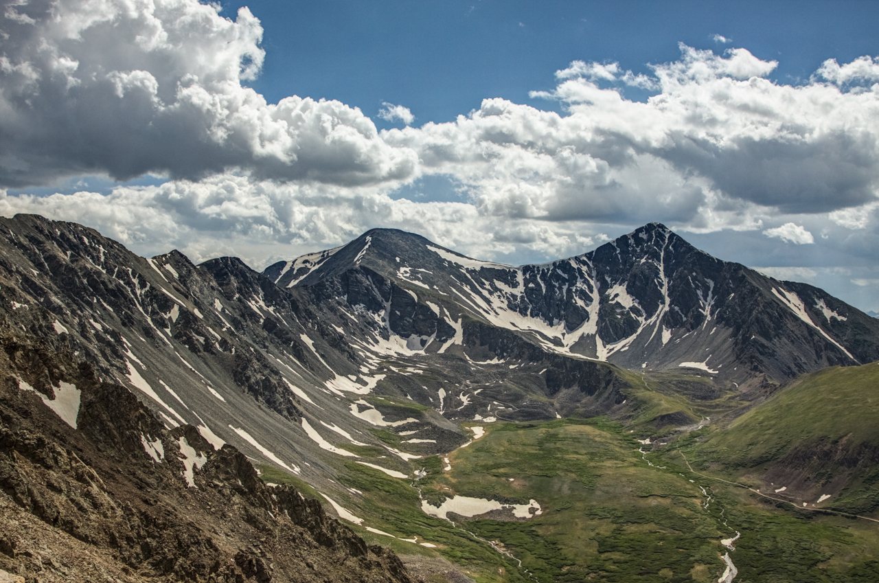
november blue autumn trees sky white snow mountains cold fall clouds forest evening high colorado snowy altitude rocky continental sunny snowcapped clear alpine dillon peaks elevation polarizer treeline i70 lovelandpass divide interstate70 highway6 tamron1750mmf28 pentaxk5
Continental Divide
trees sunset summer usa lake mountains color reflection nature water rural america forest landscape rockies outdoors evening pond scenery colorado view unitedstates scenic alpine wetlands environment rockymountains intimate tranquilscene summerscenics paulgana lakescenics paulscoloradophotography
Transitional Colors
Top-O-The-World
colorado denver lovelandpass continentaldivide
Loveland Pass 9-24-10