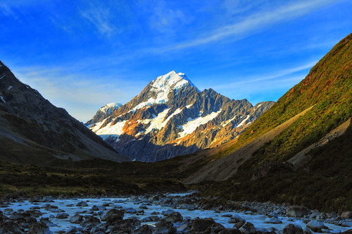
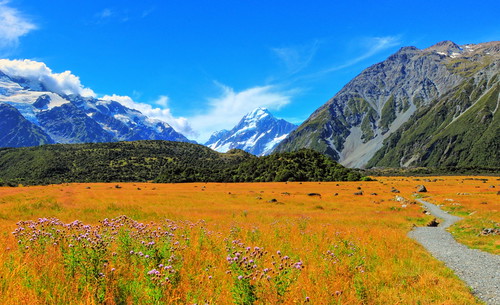
Elevation of Mount Sealy, Canterbury, New Zealand

Location: New Zealand > Canterbury > Mackenzie District > Mount Cook National Park >

Longitude: 170.045833

Latitude: -43.765

Elevation: 2620m / 8596feet

Barometric Pressure: 74KPa

Elevation Map:

elevation map of Mount Sealy, Canterbury, New Zealand

Satellite Map:

Satellite map of Mount Sealy, Canterbury, New Zealand

Related Photos:

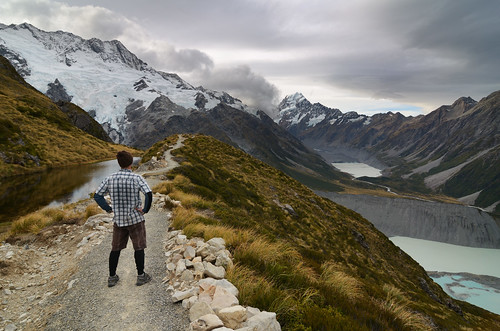
newzealand nationalpark mtcook aoraki muellerglacier mtsefton sealytarns hookerlake muellerlake
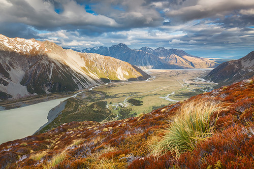
What a view
newzealand mountain snow landscape ngc canterbury npc coutryside mountcooknationalpark watermarked landscapephotography coth supershot outdoorphotography coth5
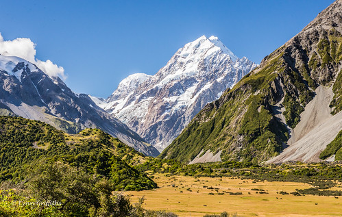
A stunning view of Aoroki Mt Cook D61_6534.jpg
newzealand panorama mountain trekking day view hiking canterbury mtcook southisland hooker southernalps aotearoa montagna aoraki hookervalley camminare escursionismo nuovazelanda aorakimtcook aorakimtcooknationalpark isoladelsud parconazionaleaorakimtcook alpineozelandesi alpidelsud pwpartlycloudy
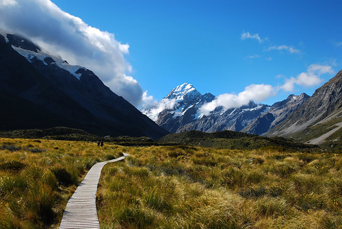
Hooker Valley - Parco Nazionale Aoraki-Mt.Cook, Canterbury
new longexposure newzealand night clouds stars landscape lights long exposure nightscape mark space cook canterbury mount southern zealand astrophotography valley aurora gee tasman australis markgee mountcook mountcooknationalpark magellanic southernlights auroraaustralis tasmanvalley magellanicclouds ventureout theartofnight nzmustdo
Valley of Stars
newzealand sky mountains water clouds river landscape canterbury nz southisland mountcooknationalpark tasmanvalley niksoftware lightroom3 silverefexpro pse8 photoshopelements8 silverefexpro2
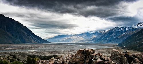
Tasman Valley
newzealand landscape view landschaft aotearoa neuseeland mountcook hookervalley sealytarns
Land of the Rings
new lake snow ice water river landscape rainbow scenery glacier zealand nz
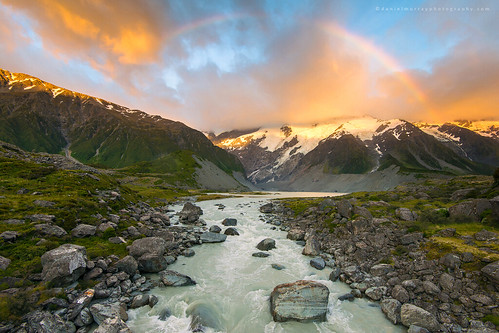
mueller morning
travel newzealand reflection explore aotearoa mountcook d40 sealytarns 1855mmf3556gii muellerhutroute
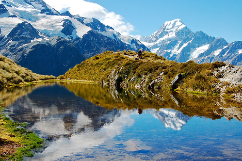
Sealy Tarns #3
camera newzealand nikon df hiking canterbury nz southisland southernalps tramping swingbridge mountcook hookervalley muellerglacierlake
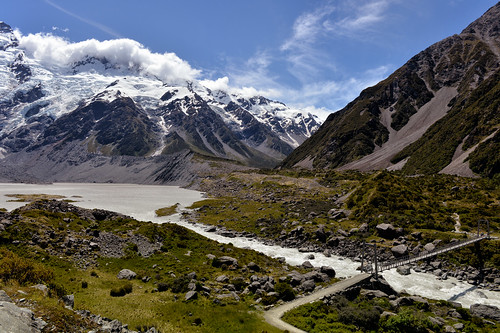
Mueller Crossing
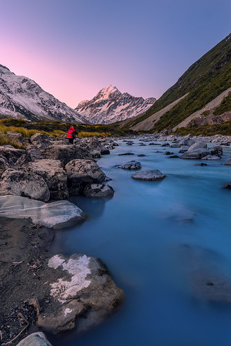
mountain rock river stream snowtip rapid sunsetsunrise mountcook aoraki mountainrange hookervalley mountcooknationalpark snowpeak hookerriver
Majestic Aoraki From Hooker River
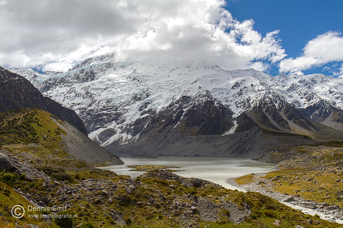
newzealand mountain canon wildlife cook natuur mount southisland lakeview aotearoa aoraki hookervalley mountcooknationalpark wildlifeimages eos7d canoneos7d dennissmit smitfotografie
Hooker Valley Track - Aoraki / Mount Cook
Panoramic View of Aoraki / Mount Cook
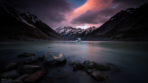
travel sunset newzealand landscape dusk hiking mtcook southisland iceberg mountcook aoraki snowmountain hookerlake
Mt. Cook, viewed from Hooker Lake, New Zealand
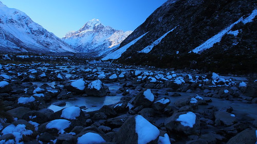
park new travel winter snow mountains alps landscape island scenery track mt walk south cook olympus mount southern zealand alpine national valley nz hooker omd aoraki em5 aorakimount aorakimt
Mt Cook
newzealand landscape nz2013 michaellampronyork
What a view
newzealand mountains landscape adventurephotography nz2013
Stop for the view
pano peak panoramic valley mtcook hooker iphone mountcook hookertrack
Hooker Track - 2014-01-08 09.50.31 copy
Mt.Cook
Mt.Cook
square sierra squareformat iphoneography instagramapp uploaded:by=instagram foursquare:venue=50cbcf01e4b09d953562f8bf
Another view at Mt Cook #mtcook #mountain #river #hookertrack #hookervalley #glacier #newzealand #southisland
winter newzealand sun mountain lake 120 6x6 clouds mediumformat kodak bronica 400 squareformat southisland portra powerstation goldenhour sqa lakecoleridge filmisnotdead 80mmf28 istillshootfilm
Hooker River Valley Track View