Elevation of Mount Huxley, Otago, New Zealand
Location: New Zealand > Otago > Hopkins Valley >
Longitude: 169.678333
Latitude: -44.070833
Elevation: 1761m / 5778feet
Barometric Pressure: 82KPa
Elevation Map:
Satellite Map:
Related Photos:
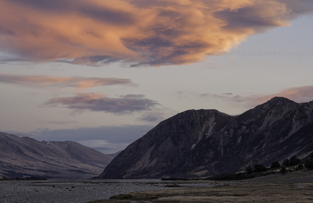
Sunset on the Hopkins Valley, Canterbury High Country, New Zealand, Sep 2011
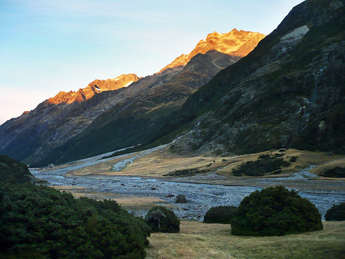
ahuriri tramp [more photos inside]
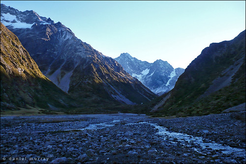
head of the ahuriri
Topographic Map of Mount Huxley, Otago, New Zealand
Find elevation by address:

Places near Mount Huxley, Otago, New Zealand:
Mount Enderby
Hopkins Valley
Mount Saint Mary
Landsborough Valley
Mount Glenmary
Mount Brewster
Lake Ohau
Mount Hooker
Mount Ward
Ahuriri Conservation Park
Mount Dechen
Shattered Peak
Mount Aspiring National Park
Haast Pass
Fettes Peak
Blue Pools Walk
Paringa
Dunstan Downs High Country Sheep Station
Lake Paringa
Twizel
Recent Searches:
- Elevation of Corso Fratelli Cairoli, 35, Macerata MC, Italy
- Elevation of Tallevast Rd, Sarasota, FL, USA
- Elevation of 4th St E, Sonoma, CA, USA
- Elevation of Black Hollow Rd, Pennsdale, PA, USA
- Elevation of Oakland Ave, Williamsport, PA, USA
- Elevation of Pedrógão Grande, Portugal
- Elevation of Klee Dr, Martinsburg, WV, USA
- Elevation of Via Roma, Pieranica CR, Italy
- Elevation of Tavkvetili Mountain, Georgia
- Elevation of Hartfords Bluff Cir, Mt Pleasant, SC, USA