Elevation of Hopkins Valley, New Zealand
Location: New Zealand > Otago >
Longitude: 169.838048
Latitude: -44.114202
Elevation: 552m / 1811feet
Barometric Pressure: 95KPa
Elevation Map:
Satellite Map:
Related Photos:
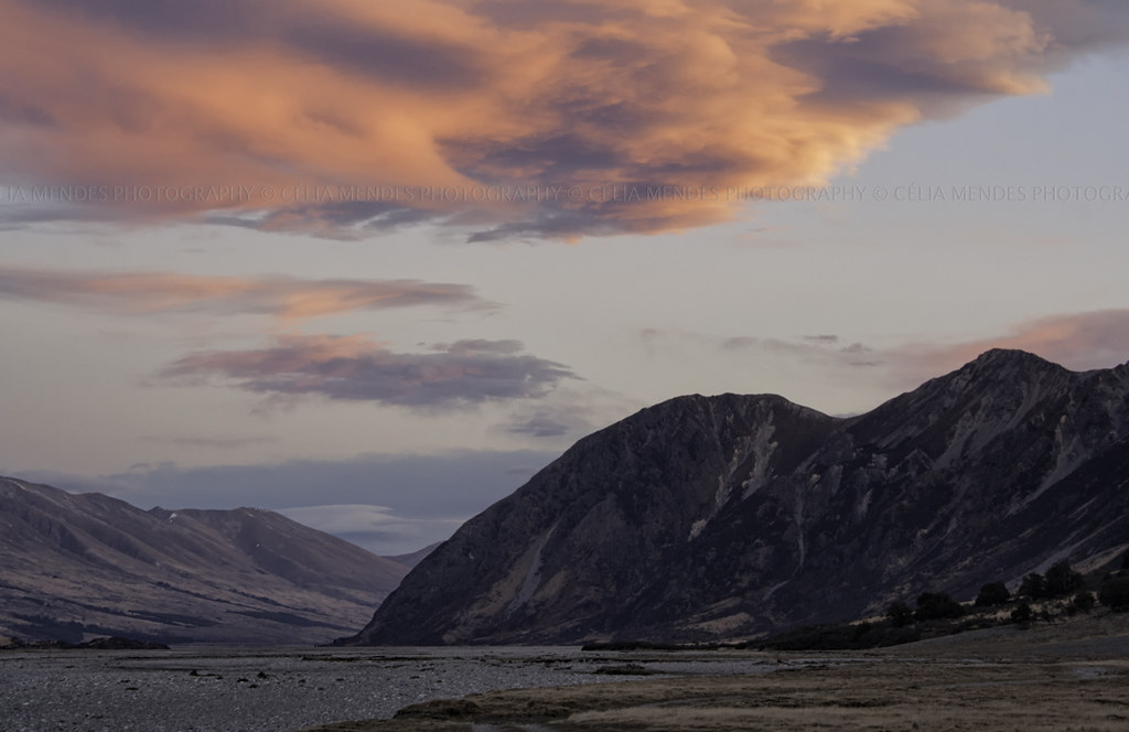
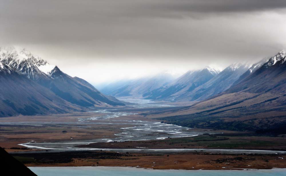
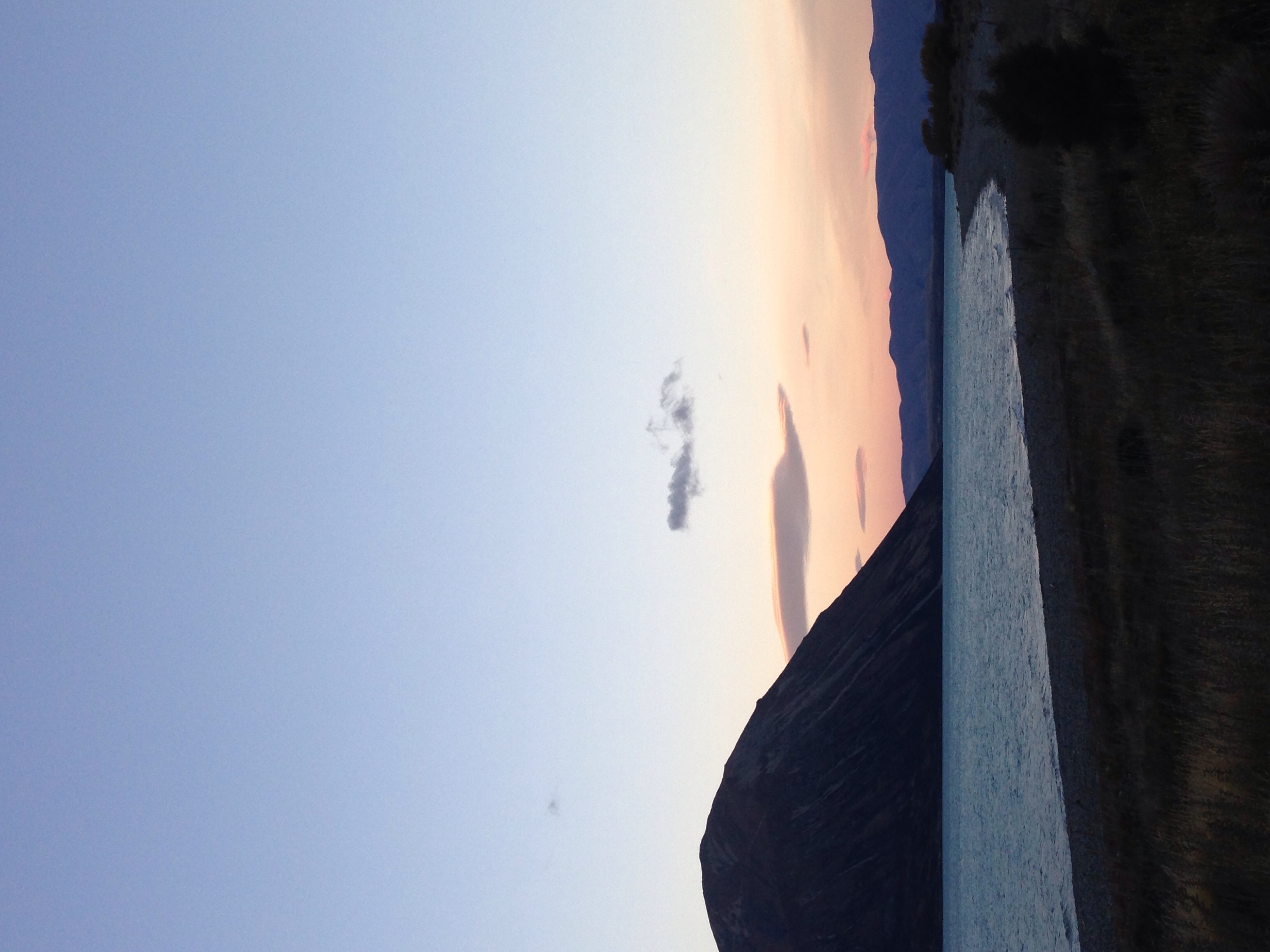
Sunset on the Hopkins Valley, Canterbury High Country, New Zealand, Sep 2011
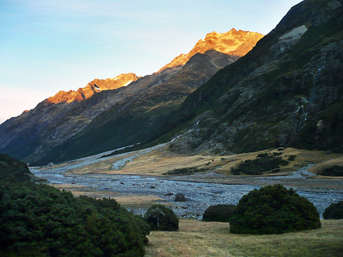
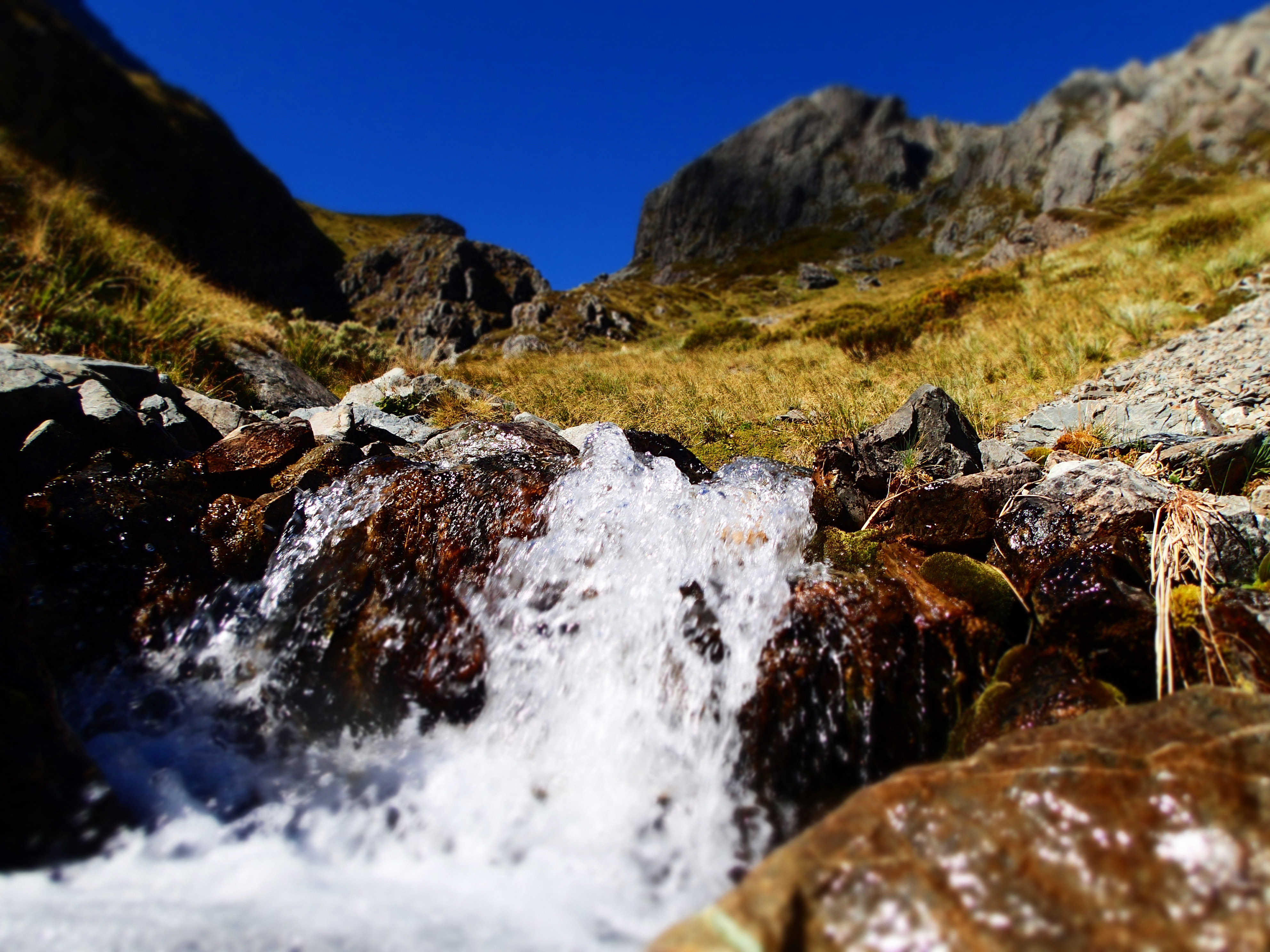
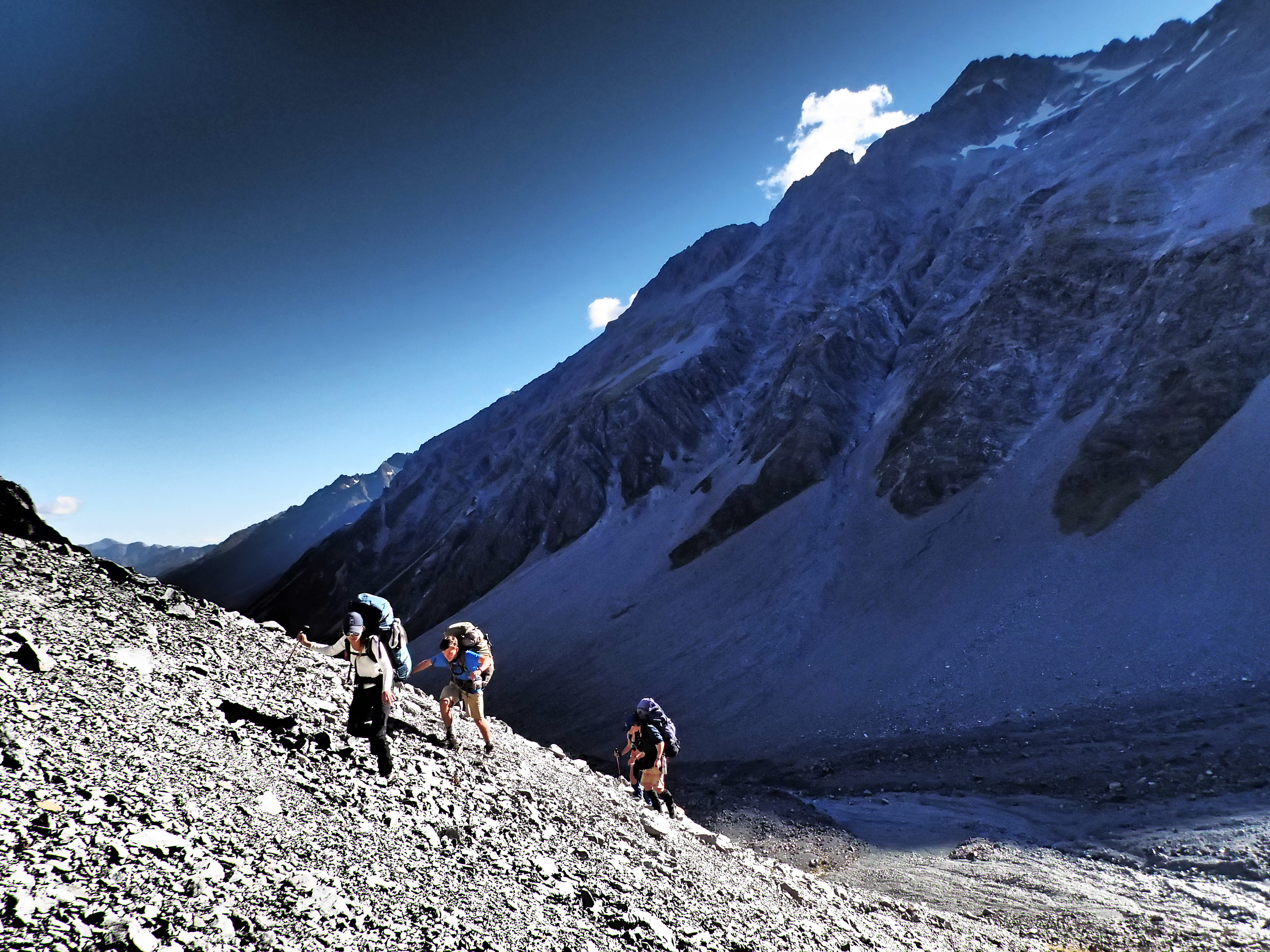
ahuriri tramp [more photos inside]
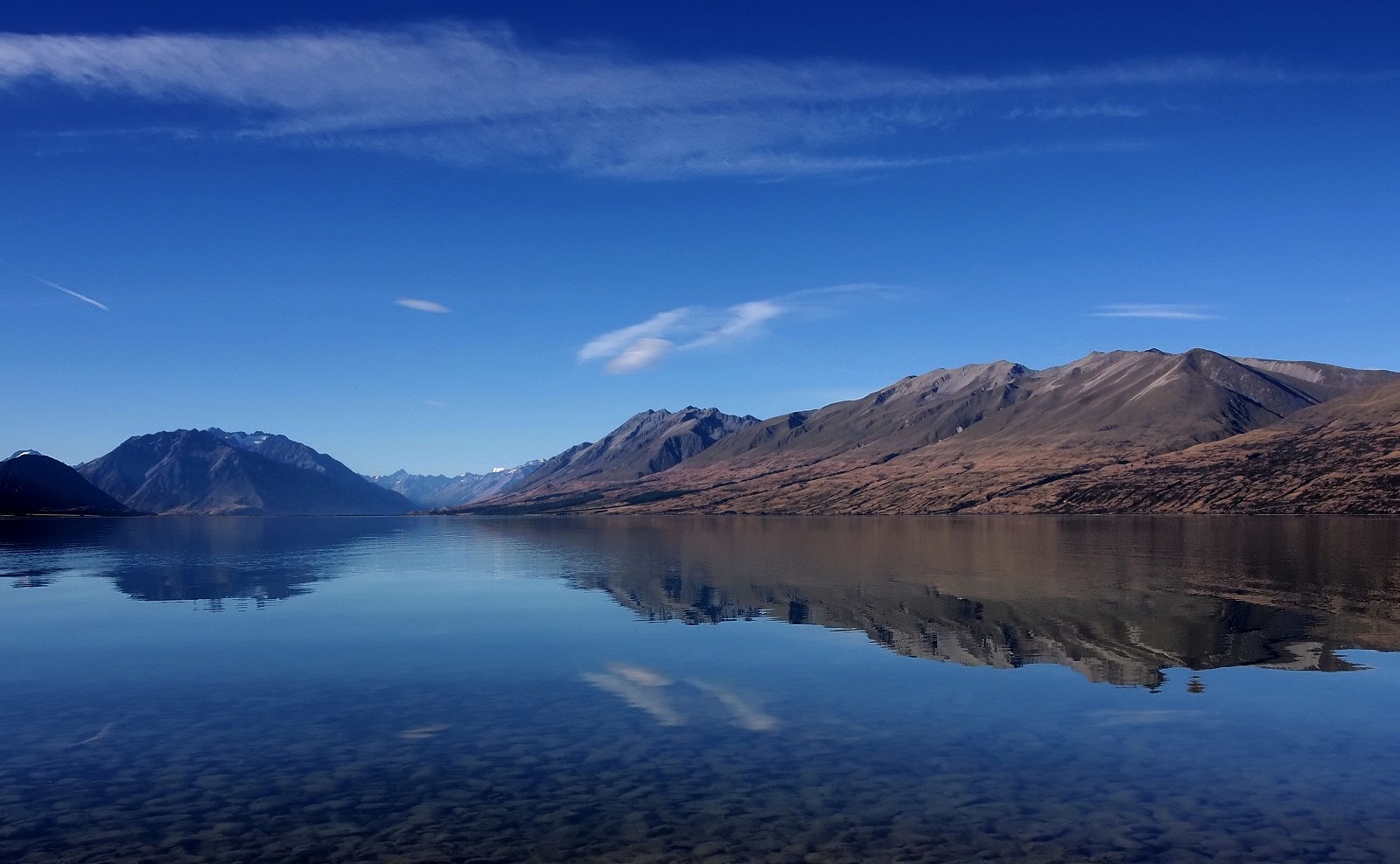
Lake Ohau
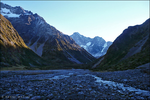
head of the ahuriri

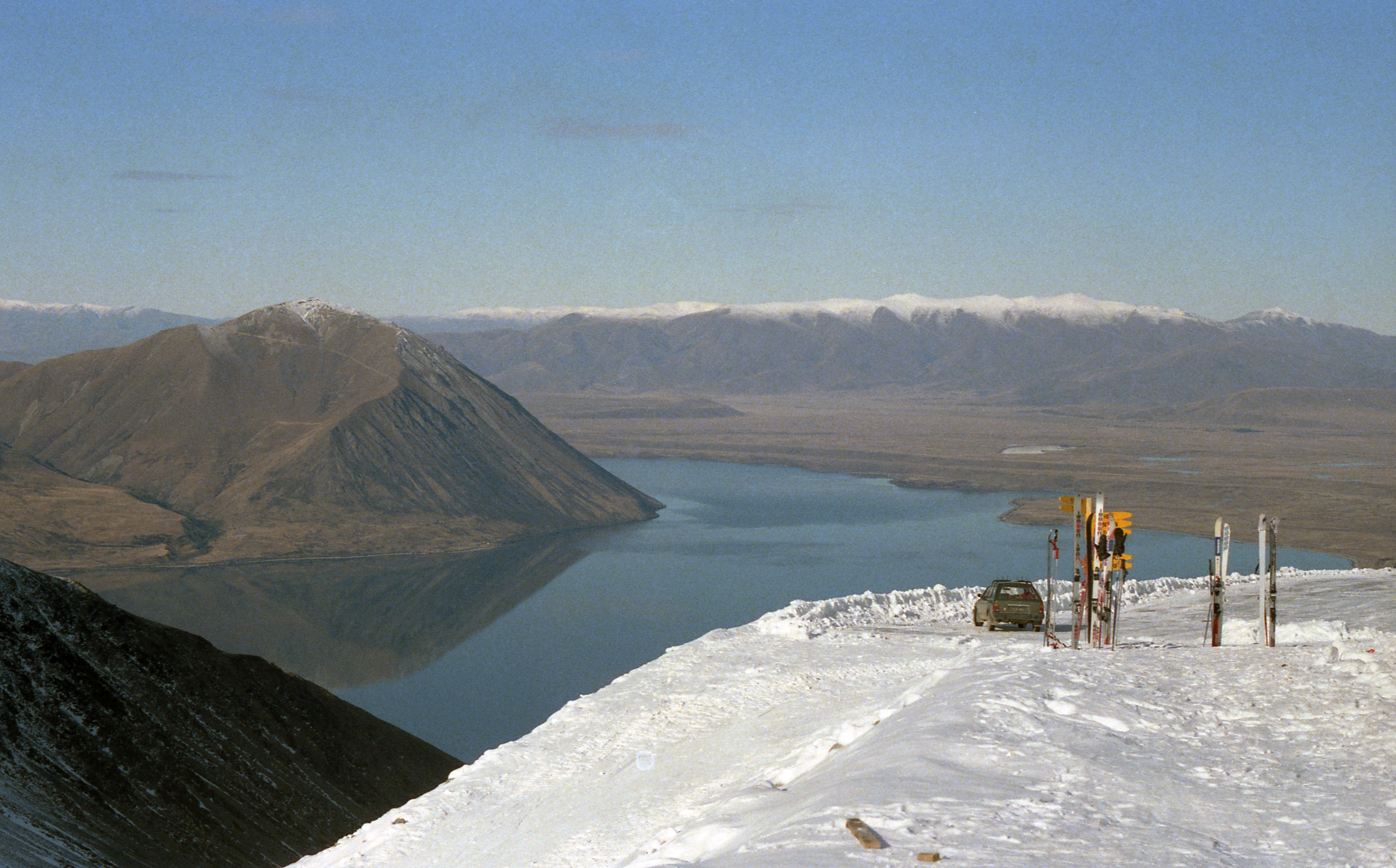
Lake Ohau Skifield
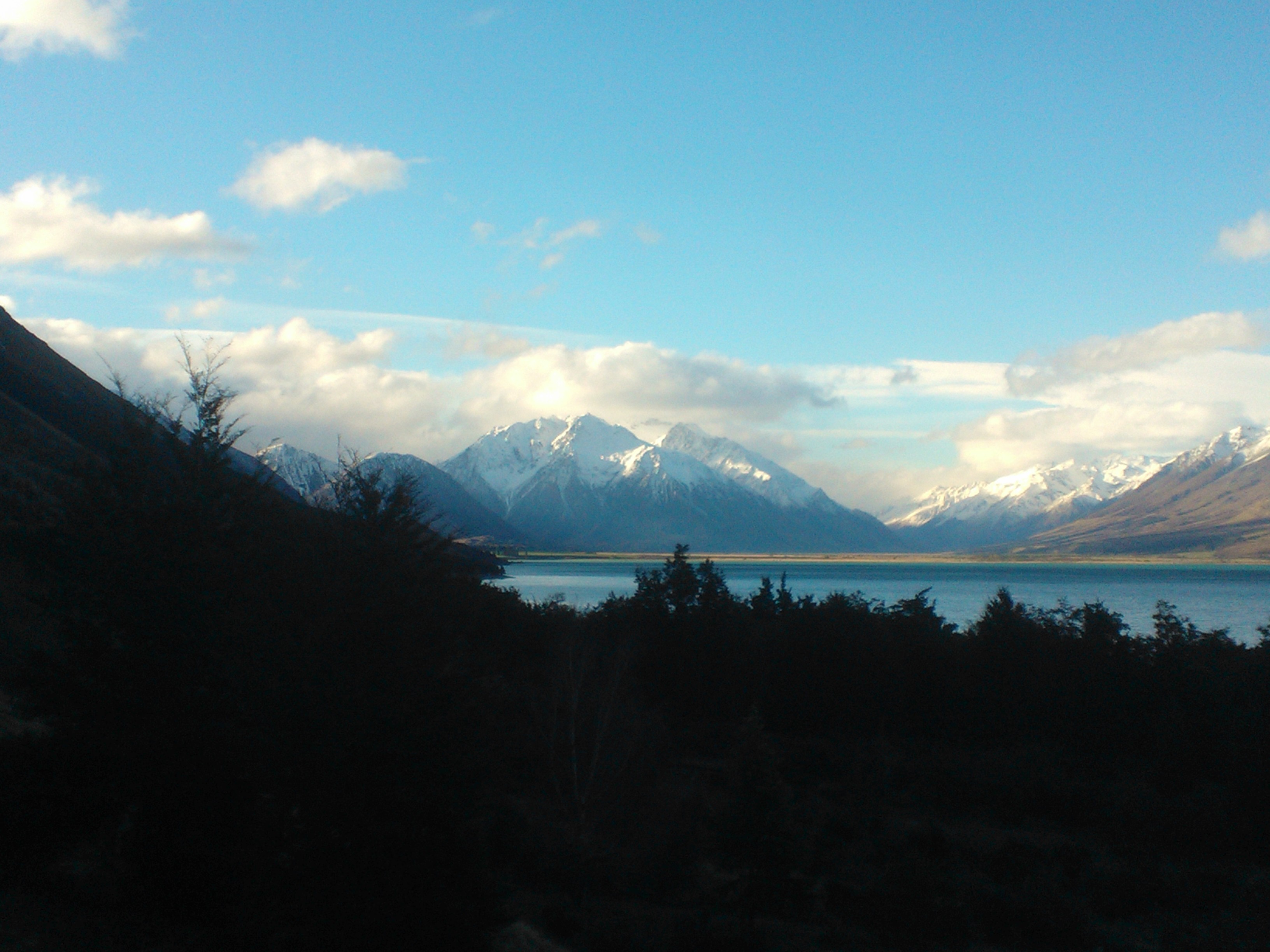
Lake Ohau
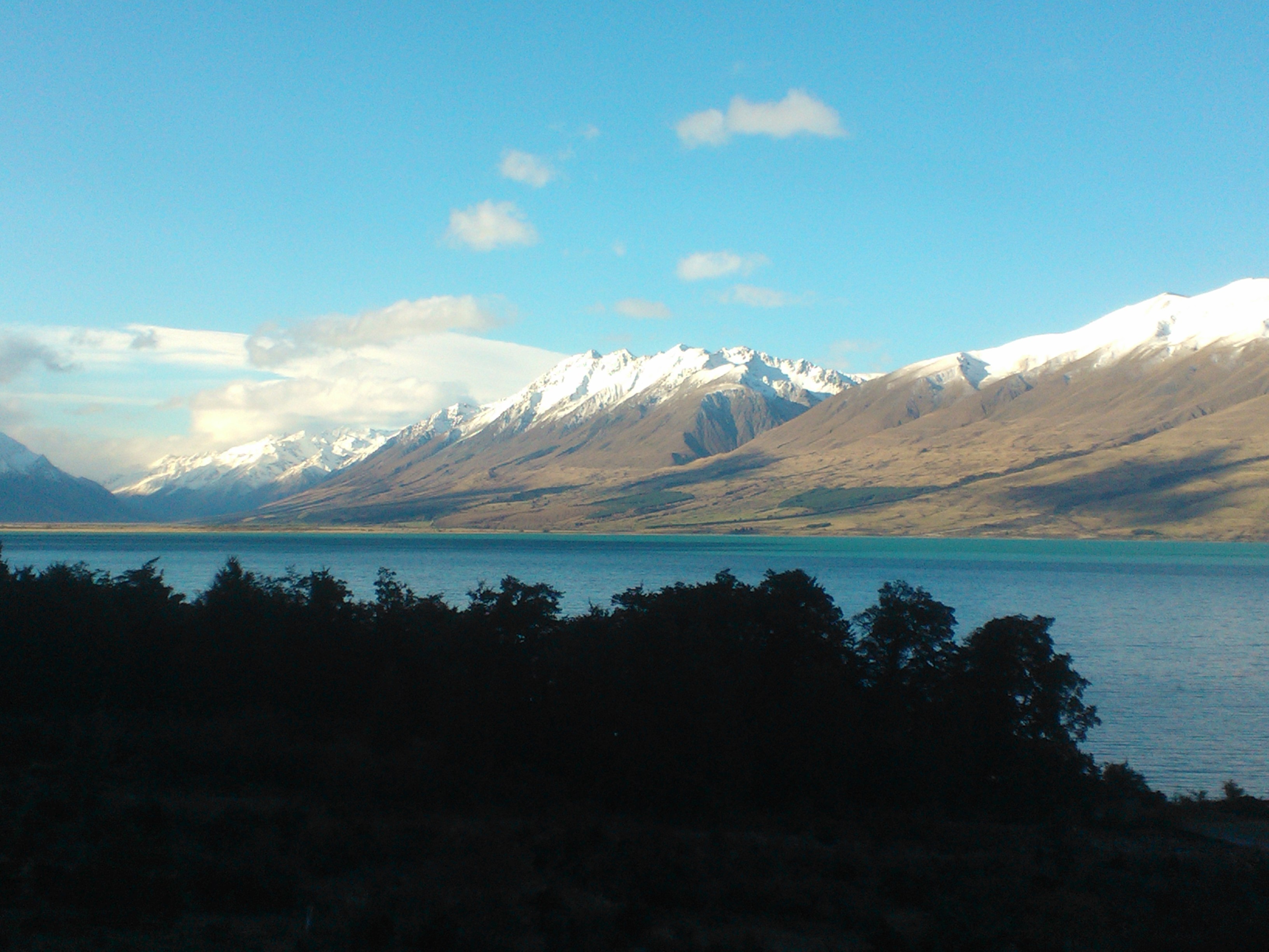
Ohau resort view 2
Oahu resort view 3
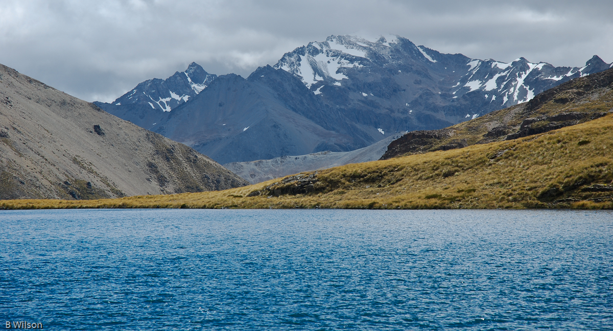
View from Lake Dumb-Bell
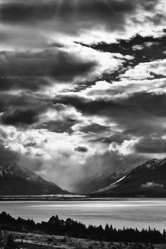
Over Lake Ohau, Mackenzie Basin, New Zealand
2013 - 02 - NZB1
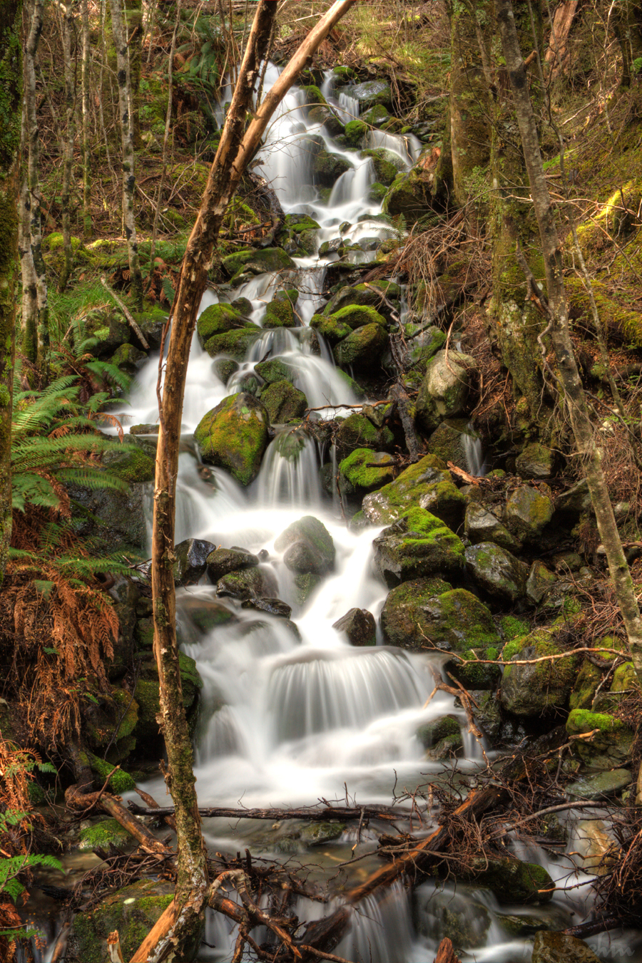
Ram Hill Waterfall
Lake Ohau, Otago, New Zealand, Jul 2012

#alps2ocean trail day three @alps2ocean #trek #trekbicycles 50km so far today
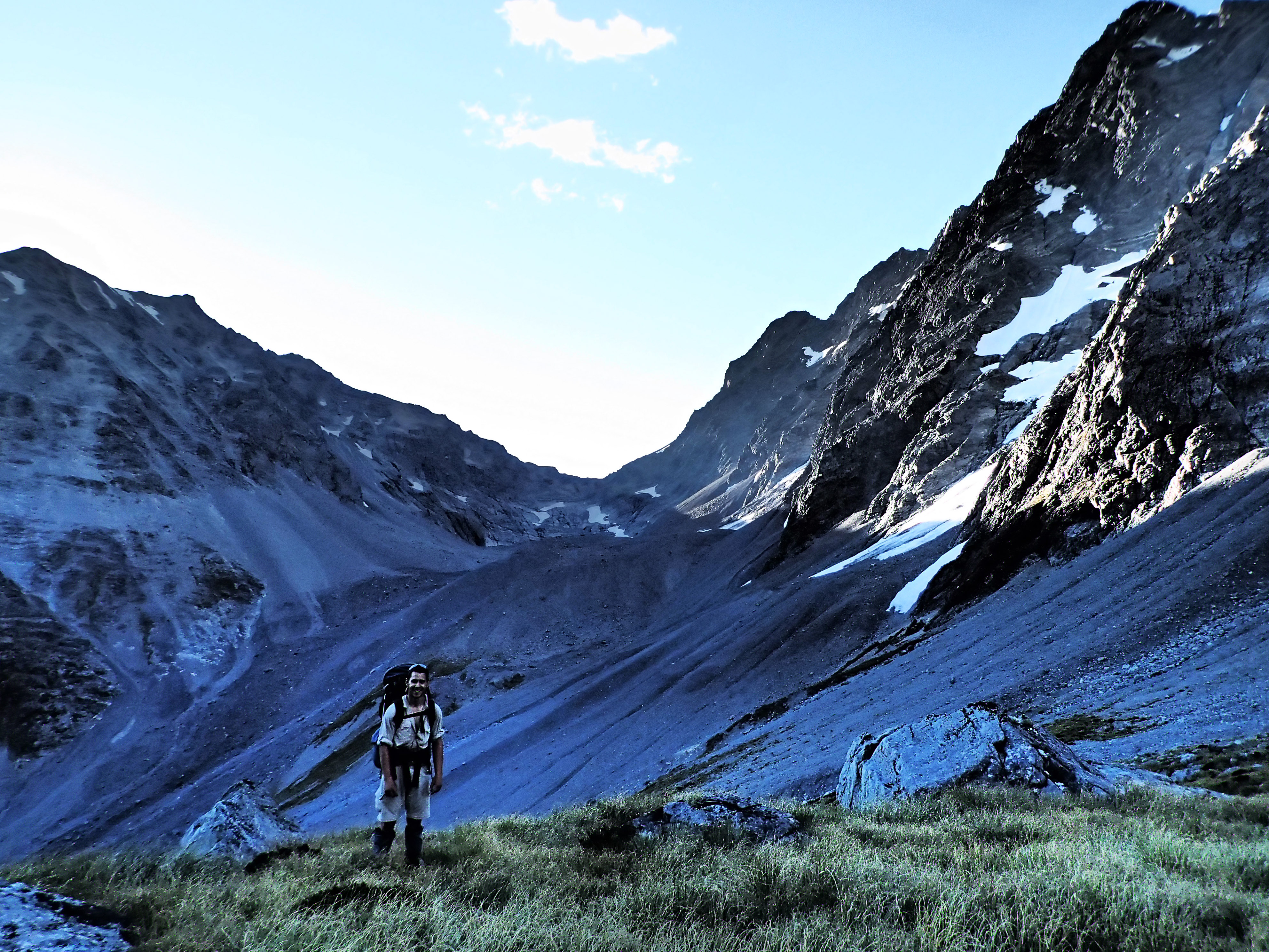
2013 - 02 - NZB1 - Upper Ahuriri

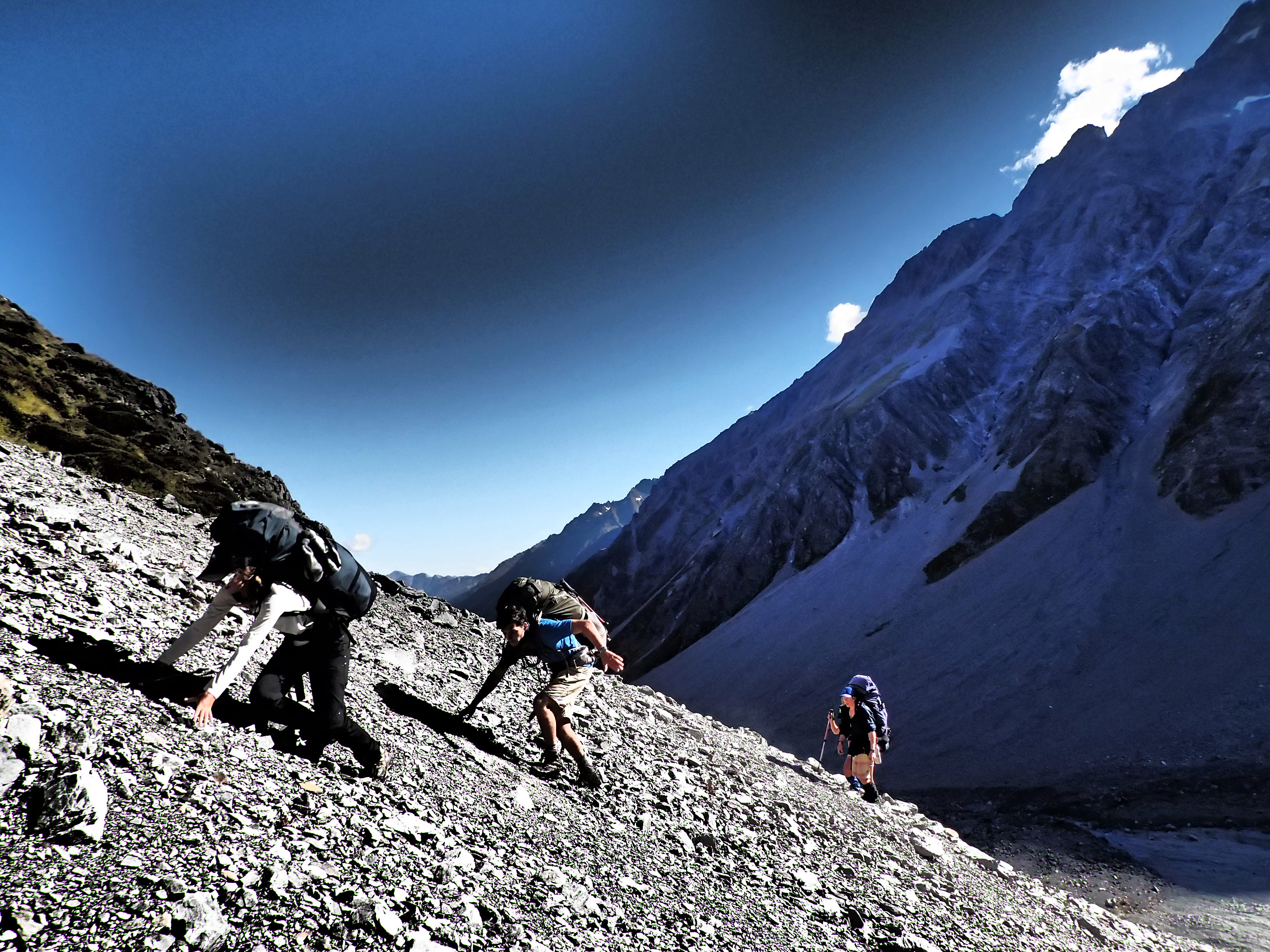
2013 - 02 - NZB1 - I can't believe they went THAT way...
2013 - 02 - NZB1 - Rugged

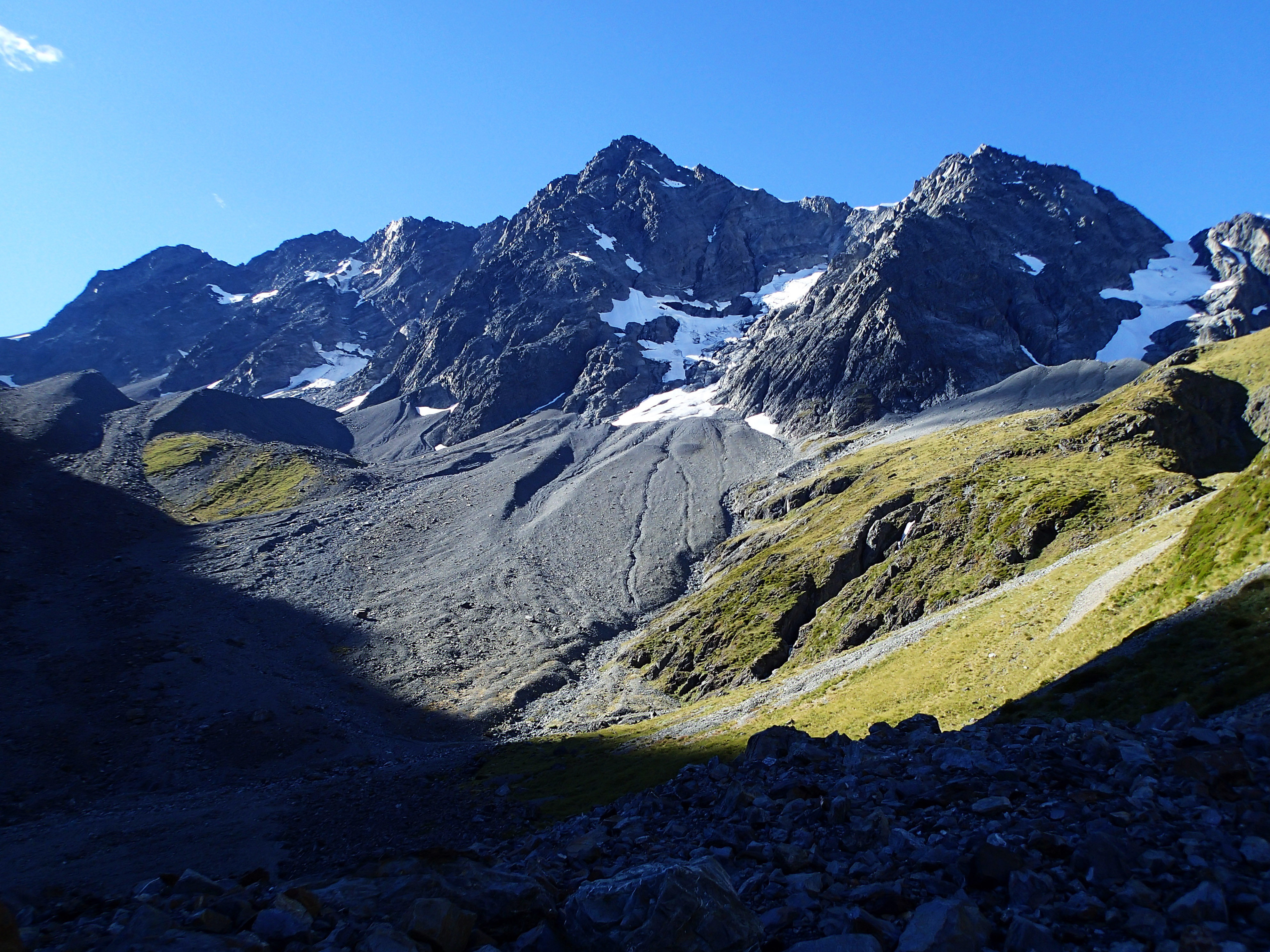
Ram Hill & Neumann Range
2013 - 02 - NZB1
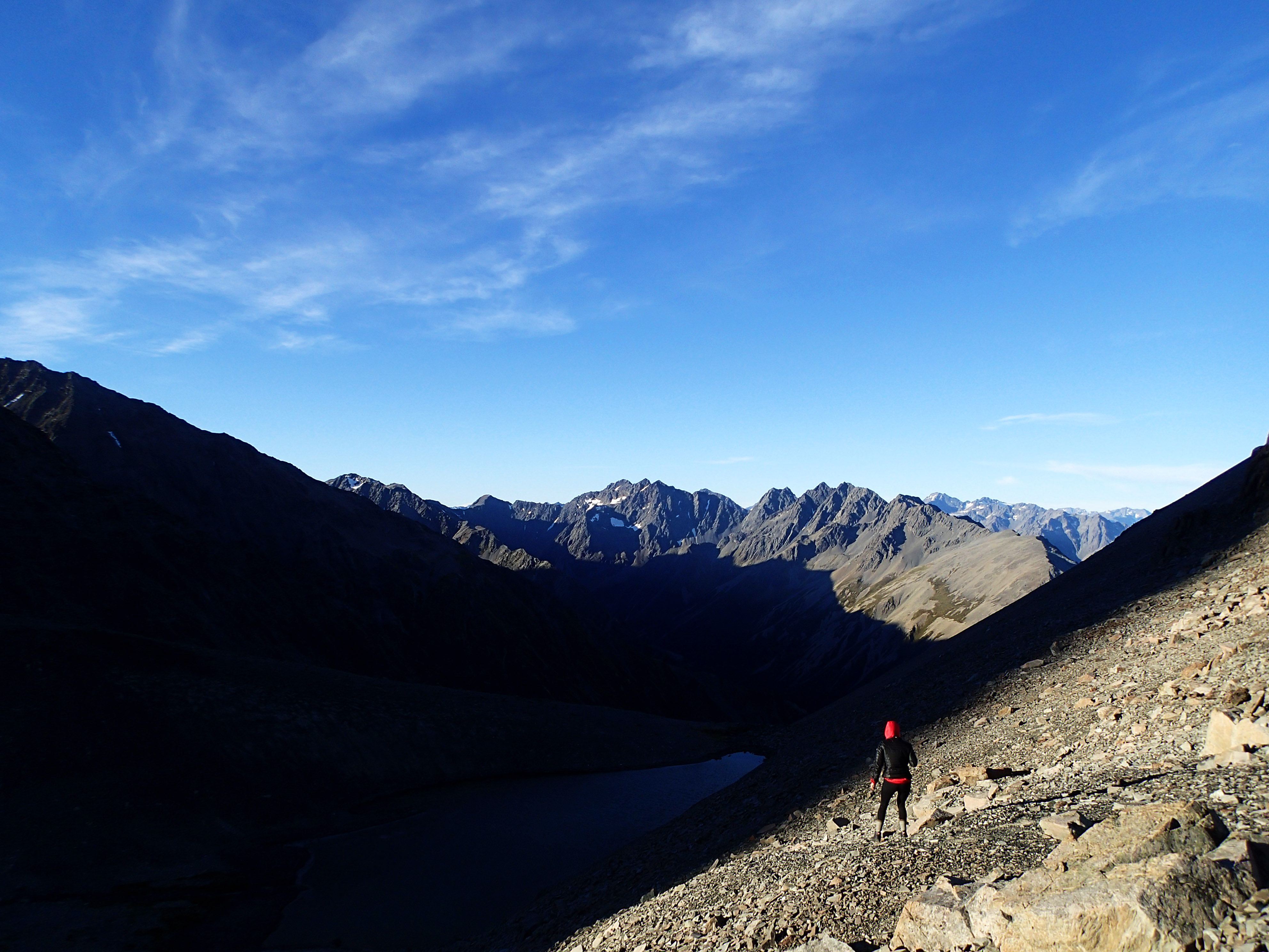
2013 - 02 - NZB1 - Sam

Over Lake Ohau, Mackenzie Basin, new Zealand
2013 - 02 - NZB1 - Upper Ahuriri
Mt. Cook
Topographic Map of Hopkins Valley, New Zealand
Find elevation by address:

Places in Hopkins Valley, New Zealand:
Places near Hopkins Valley, New Zealand:
Lake Ohau
Mount Glenmary
Mount Huxley
Mount Saint Mary
Mount Ward
Mount Enderby
Landsborough Valley
Twizel
Ahuriri Conservation Park
Pukaki
Mount Dechen
Mount Hooker
Glentanner Holiday Park Mount Cook
Mount Cook
Fettes Peak
Mount Brewster
Dunstan Downs High Country Sheep Station
Omarama
19 Teal Cres
Mount Sealy
Recent Searches:
- Elevation of Corso Fratelli Cairoli, 35, Macerata MC, Italy
- Elevation of Tallevast Rd, Sarasota, FL, USA
- Elevation of 4th St E, Sonoma, CA, USA
- Elevation of Black Hollow Rd, Pennsdale, PA, USA
- Elevation of Oakland Ave, Williamsport, PA, USA
- Elevation of Pedrógão Grande, Portugal
- Elevation of Klee Dr, Martinsburg, WV, USA
- Elevation of Via Roma, Pieranica CR, Italy
- Elevation of Tavkvetili Mountain, Georgia
- Elevation of Hartfords Bluff Cir, Mt Pleasant, SC, USA