Elevation of Mount Hough, Mt Hough, California, USA
Location: United States > California > Plumas County > Crescent Mills >
Longitude: -120.88606
Latitude: 40.044614
Elevation: 2198m / 7211feet
Barometric Pressure: 78KPa
Elevation Map:
Satellite Map:
Related Photos:
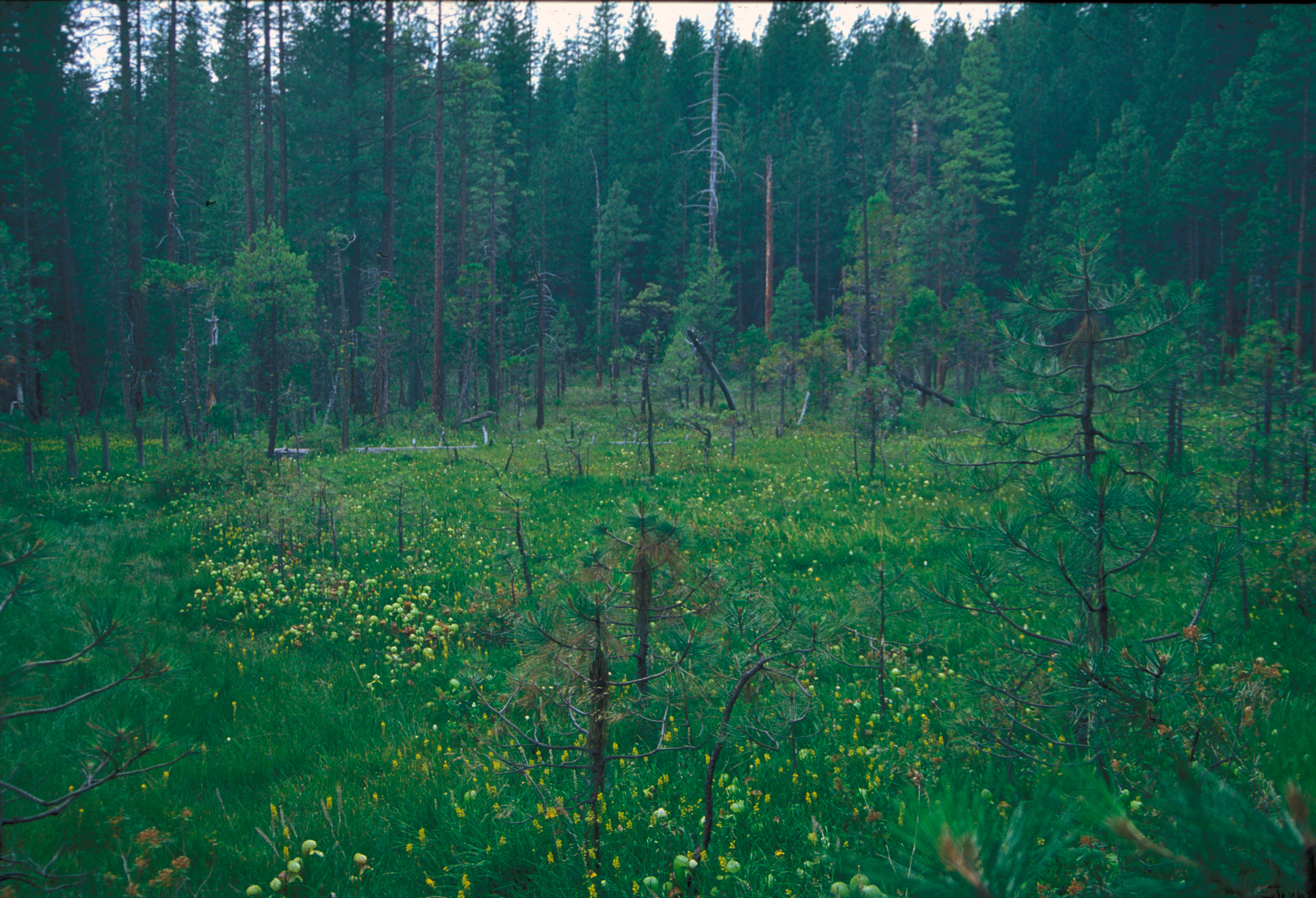
Pitcher_plant_bog_butterfly_valley_2000.jpg
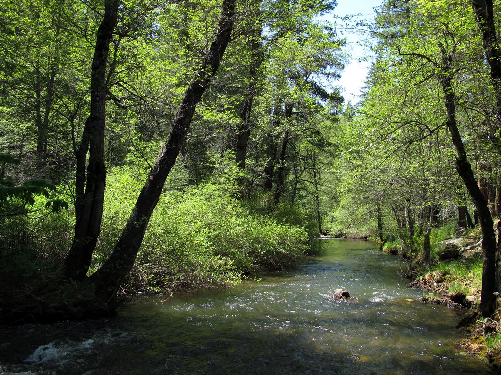
Green Tranquility

Genesee Panorama
Topographic Map of Mount Hough, Mt Hough, California, USA
Find elevation by address:

Places near Mount Hough, Mt Hough, California, USA:
Crescent Mills, CA, USA
Taylorsville
Crescent Mills
871 Genesee Rd
American Way, Quincy, CA, USA
Plumas County
E Main St, Quincy, CA, USA
East Quincy
164 Sugar Pine Dr
Grizzly Mountain
CA-70, Quincy, CA, USA
Genesee
Plumas National Forest
6156 Beckwourth Genesee Rd
6156 Beckwourth Genesee Rd
CA-70, Quincy, CA, USA
Spring Garden
2540 Forest Knoll Ln
Red Bluff Trail, Quincy, CA, USA
27254 Beckwourth Genesee Rd
Recent Searches:
- Elevation of Corso Fratelli Cairoli, 35, Macerata MC, Italy
- Elevation of Tallevast Rd, Sarasota, FL, USA
- Elevation of 4th St E, Sonoma, CA, USA
- Elevation of Black Hollow Rd, Pennsdale, PA, USA
- Elevation of Oakland Ave, Williamsport, PA, USA
- Elevation of Pedrógão Grande, Portugal
- Elevation of Klee Dr, Martinsburg, WV, USA
- Elevation of Via Roma, Pieranica CR, Italy
- Elevation of Tavkvetili Mountain, Georgia
- Elevation of Hartfords Bluff Cir, Mt Pleasant, SC, USA