Elevation of Beckwourth Genesee Rd, Taylorsville, CA, USA
Location: United States > California > Plumas County > Taylorsville >
Longitude: -120.67143
Latitude: 40.0561904
Elevation: 1145m / 3757feet
Barometric Pressure: 88KPa
Elevation Map:
Satellite Map:
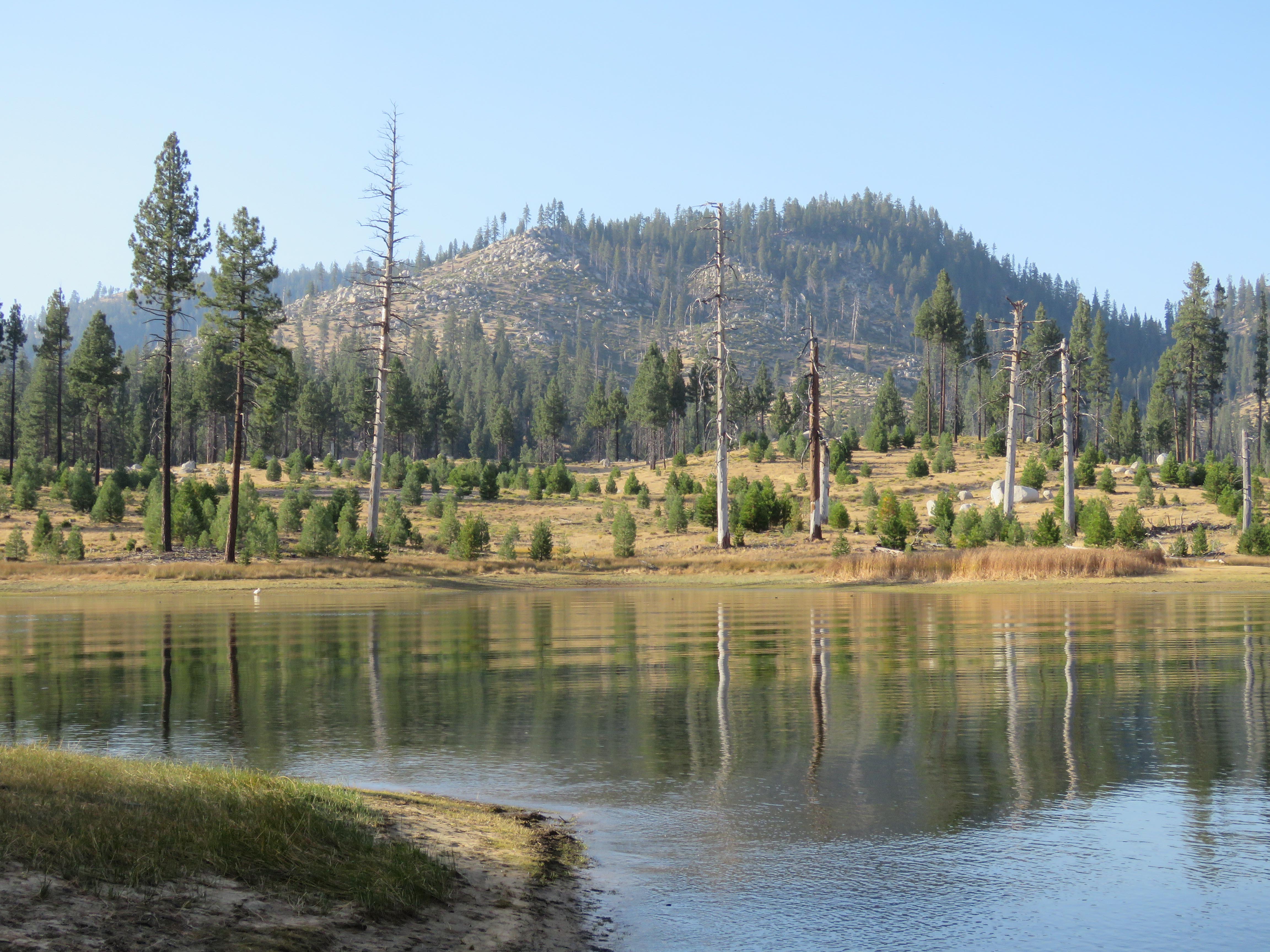
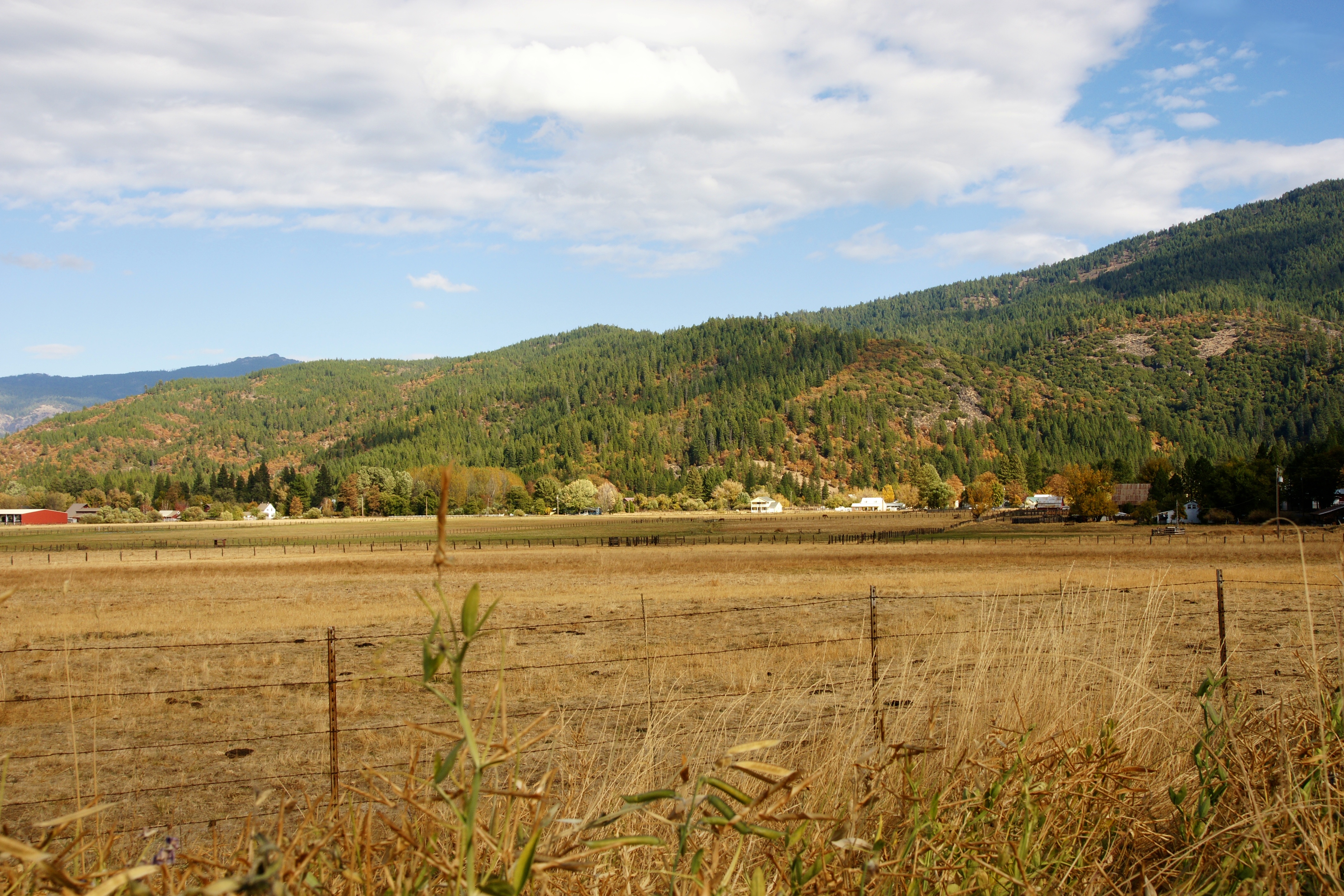
Related Photos:

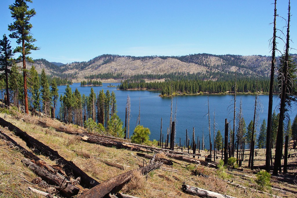
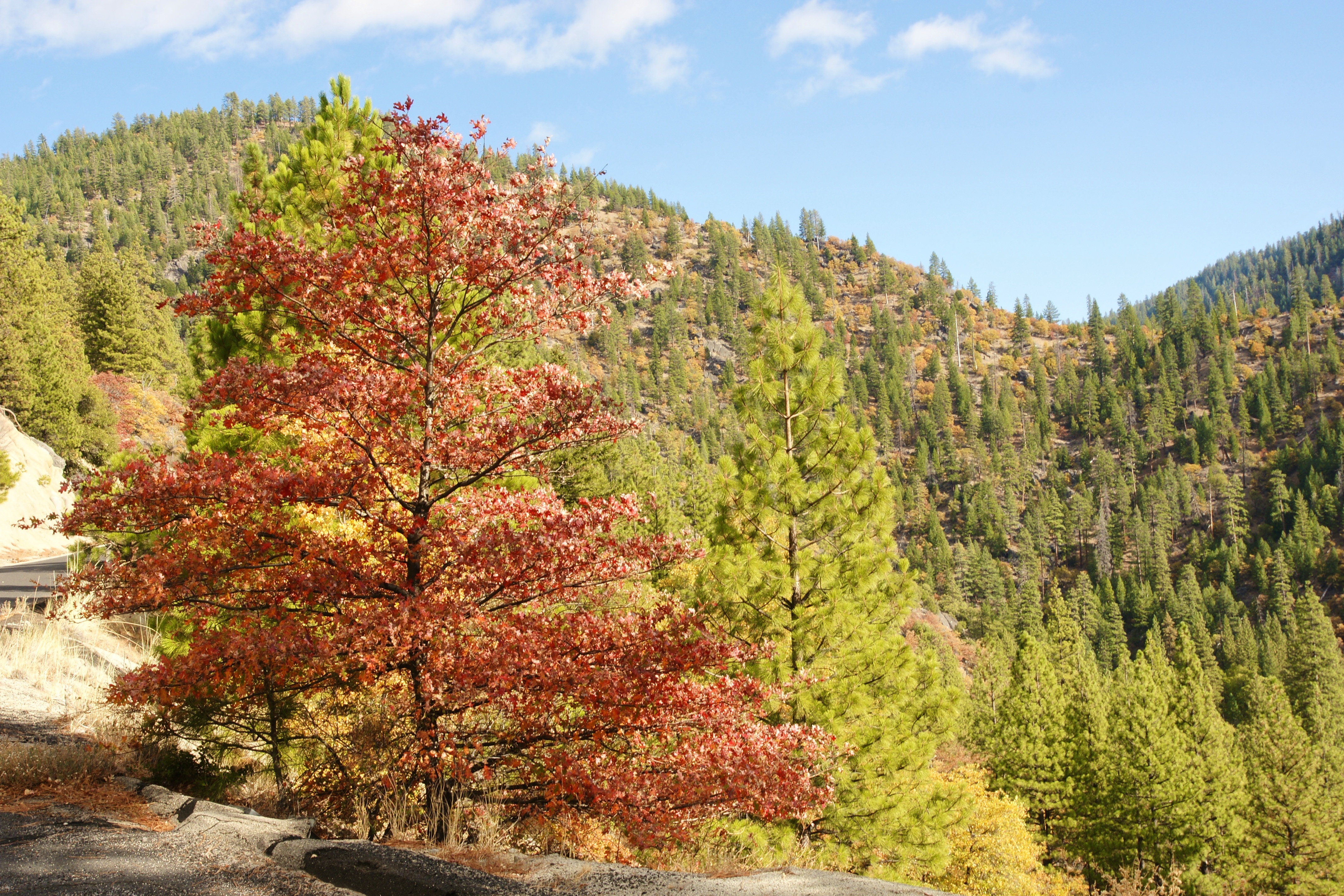
Genesee Panorama

_8150023 LM Left.NEF
antelope lake
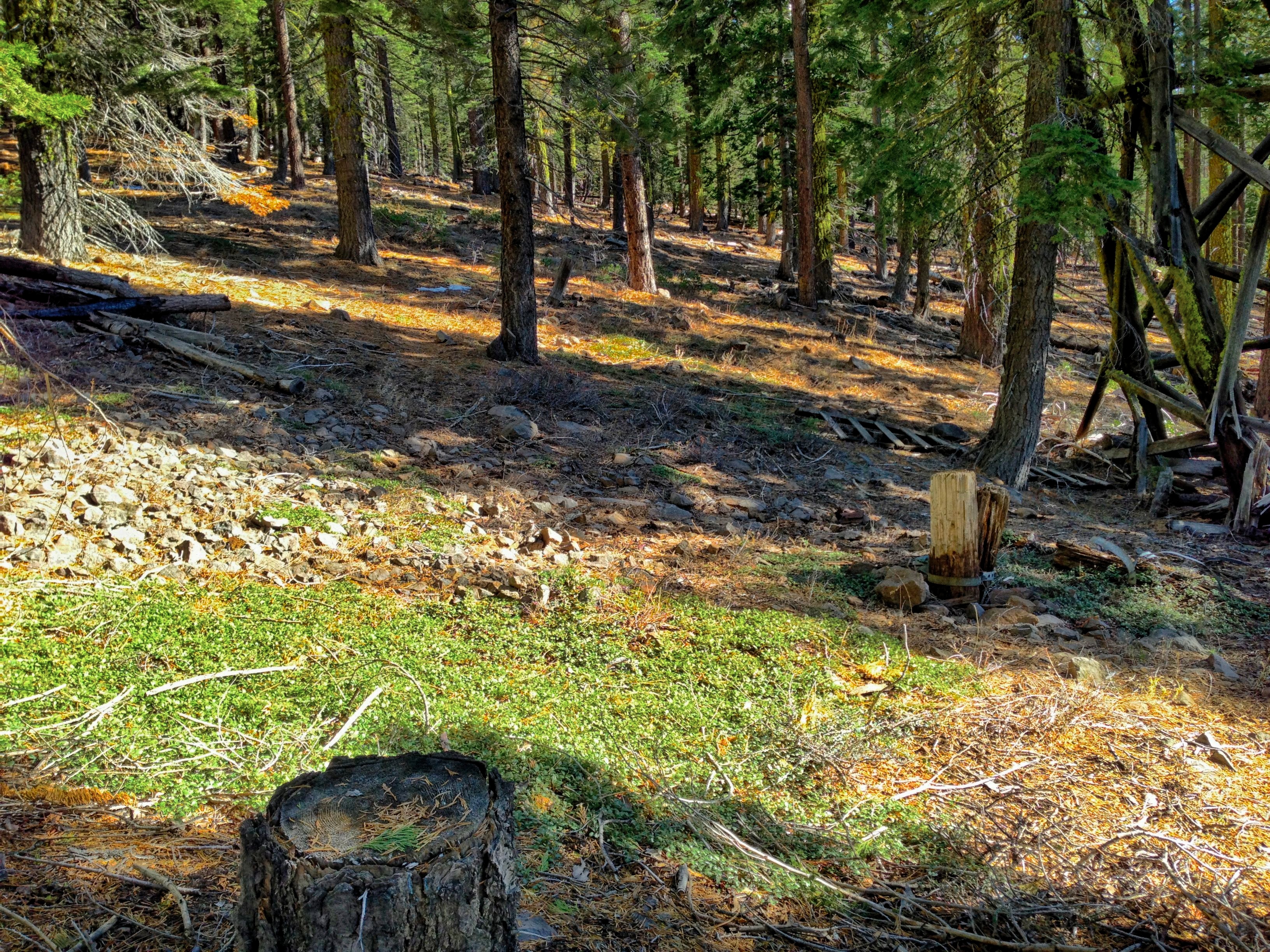
Around Christmas Tree Haven

Where's the Gold?

Kenebec Creek Falls (3)

_8040186.NEF

ATR20121021-1522-292

815_0016 JM Right

_8060187.NEF
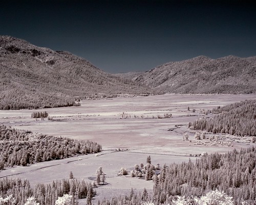
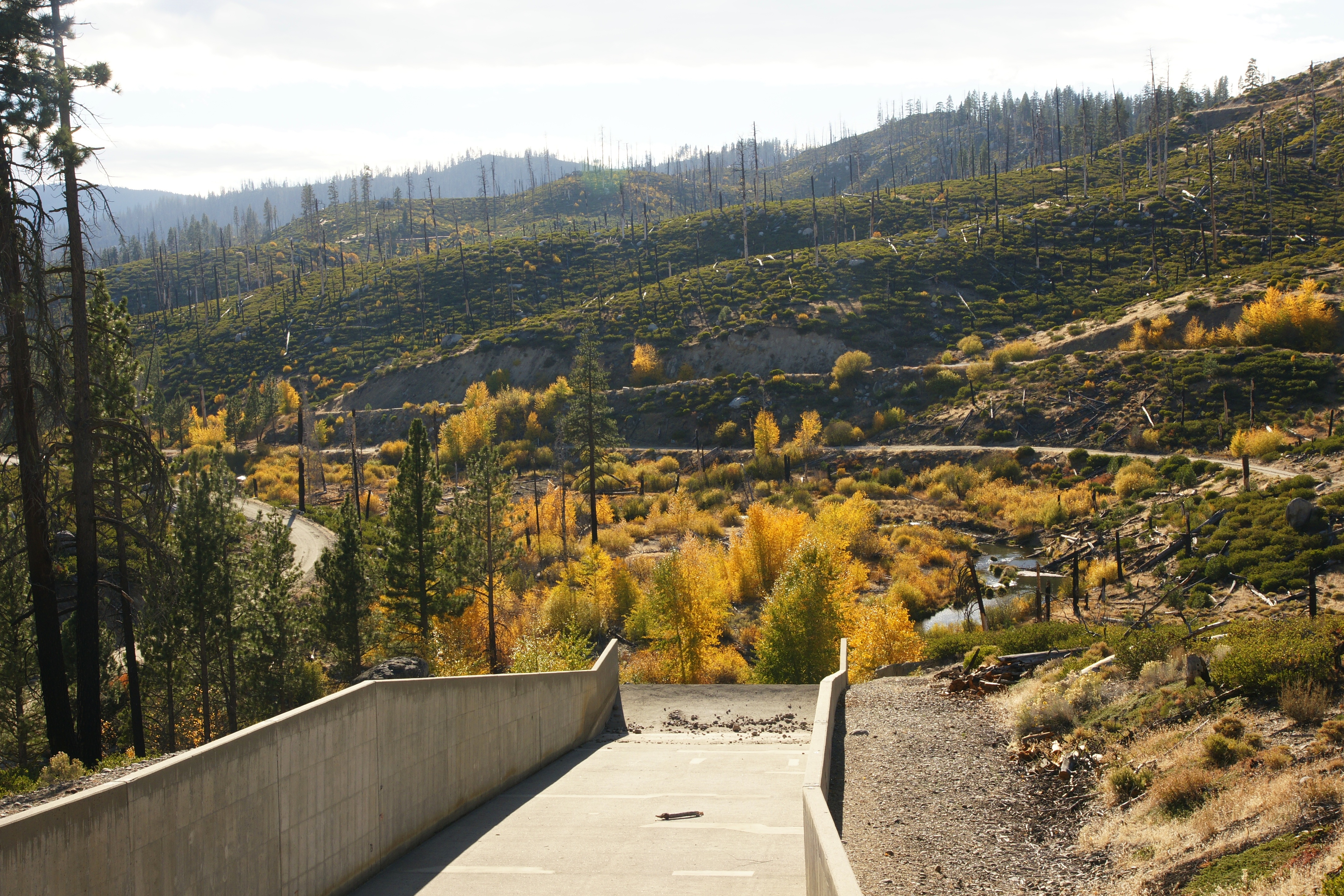
Indian Valley in IR
ATR20121021-1545-297

ATR20121021-1555-303
ATR20121021-1544-296
ATR20121021-1521-289
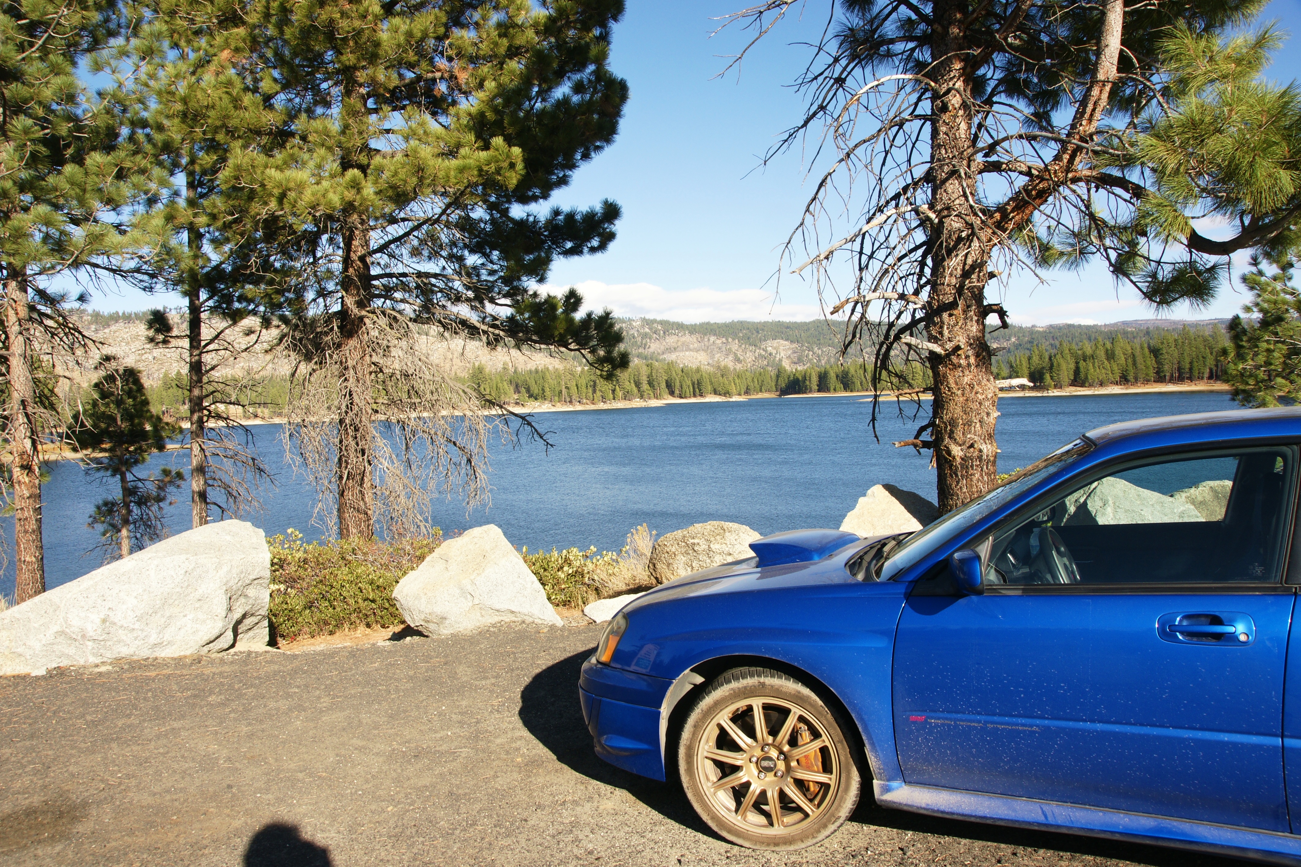
Antelope Lake
ATR20121021-1550-299

ATR20121021-1519-287

ATR20121021-1439-249
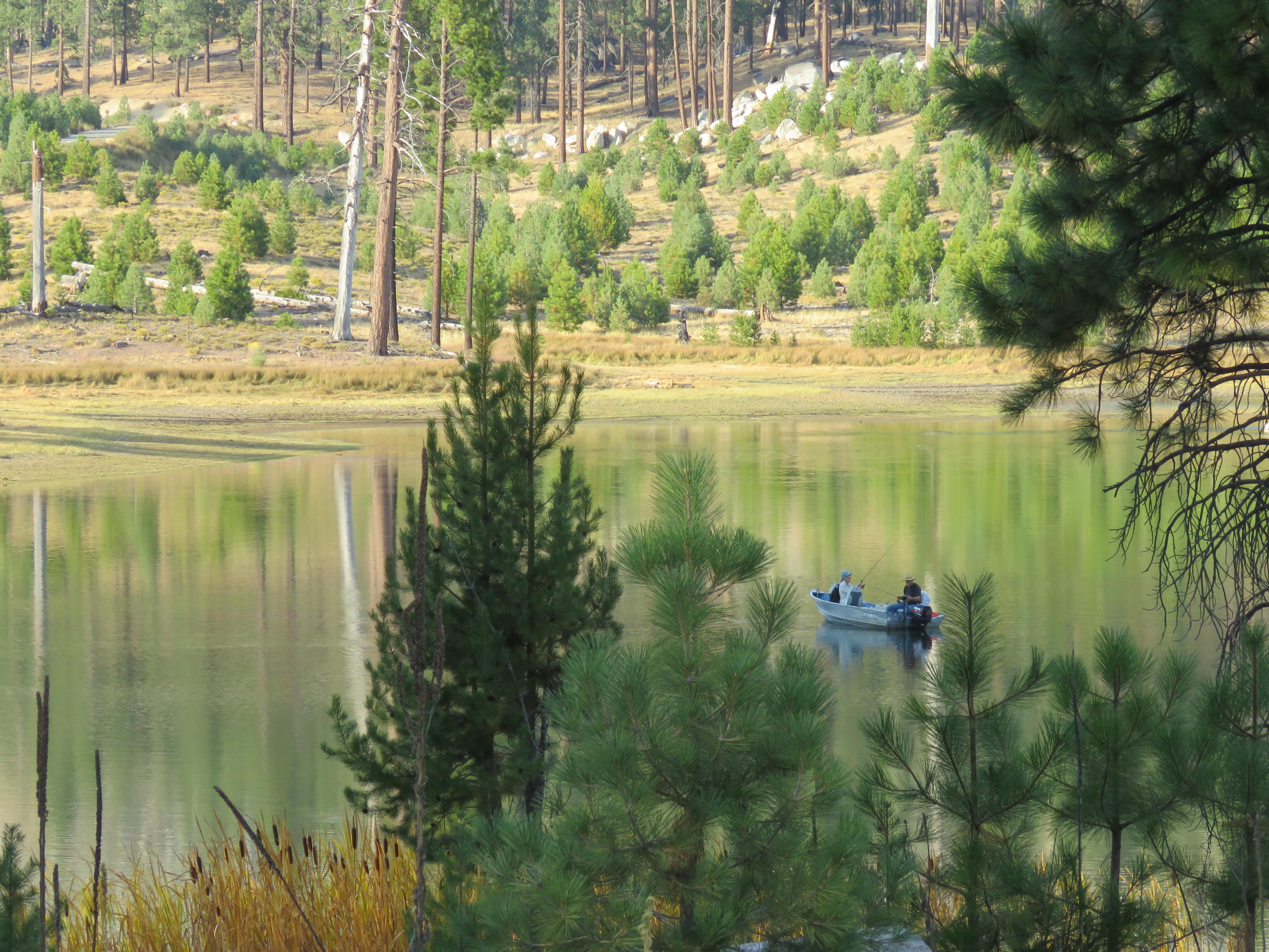
Antelope Lake
ATR20121021-1440-254
Topographic Map of Beckwourth Genesee Rd, Taylorsville, CA, USA
Find elevation by address:

Places near Beckwourth Genesee Rd, Taylorsville, CA, USA:
Elephants Playground
6156 Beckwourth Genesee Rd
6156 Beckwourth Genesee Rd
Mount Ingalls
Babcock Peak
Genesee
Grizzly Mountain
1182 27n09b
Antelope Lake
Plumas County
Boulder Creek Campground
871 Genesee Rd
Taylorsville
Red Bluff Trail, Quincy, CA, USA
2540 Forest Knoll Ln
Plumas National Forest
Cromberg
CA-70, Quincy, CA, USA
Spring Garden
Mt Tomba Rd, Cromberg, CA, USA
Recent Searches:
- Elevation of Corso Fratelli Cairoli, 35, Macerata MC, Italy
- Elevation of Tallevast Rd, Sarasota, FL, USA
- Elevation of 4th St E, Sonoma, CA, USA
- Elevation of Black Hollow Rd, Pennsdale, PA, USA
- Elevation of Oakland Ave, Williamsport, PA, USA
- Elevation of Pedrógão Grande, Portugal
- Elevation of Klee Dr, Martinsburg, WV, USA
- Elevation of Via Roma, Pieranica CR, Italy
- Elevation of Tavkvetili Mountain, Georgia
- Elevation of Hartfords Bluff Cir, Mt Pleasant, SC, USA