Elevation of Mount Denman, Powell River A, BC V8A, Canada
Location: Canada > British Columbia > Powell River > Powell River A >
Longitude: -124.51888
Latitude: 50.2802777
Elevation: 1982m / 6503feet
Barometric Pressure: 80KPa
Elevation Map:
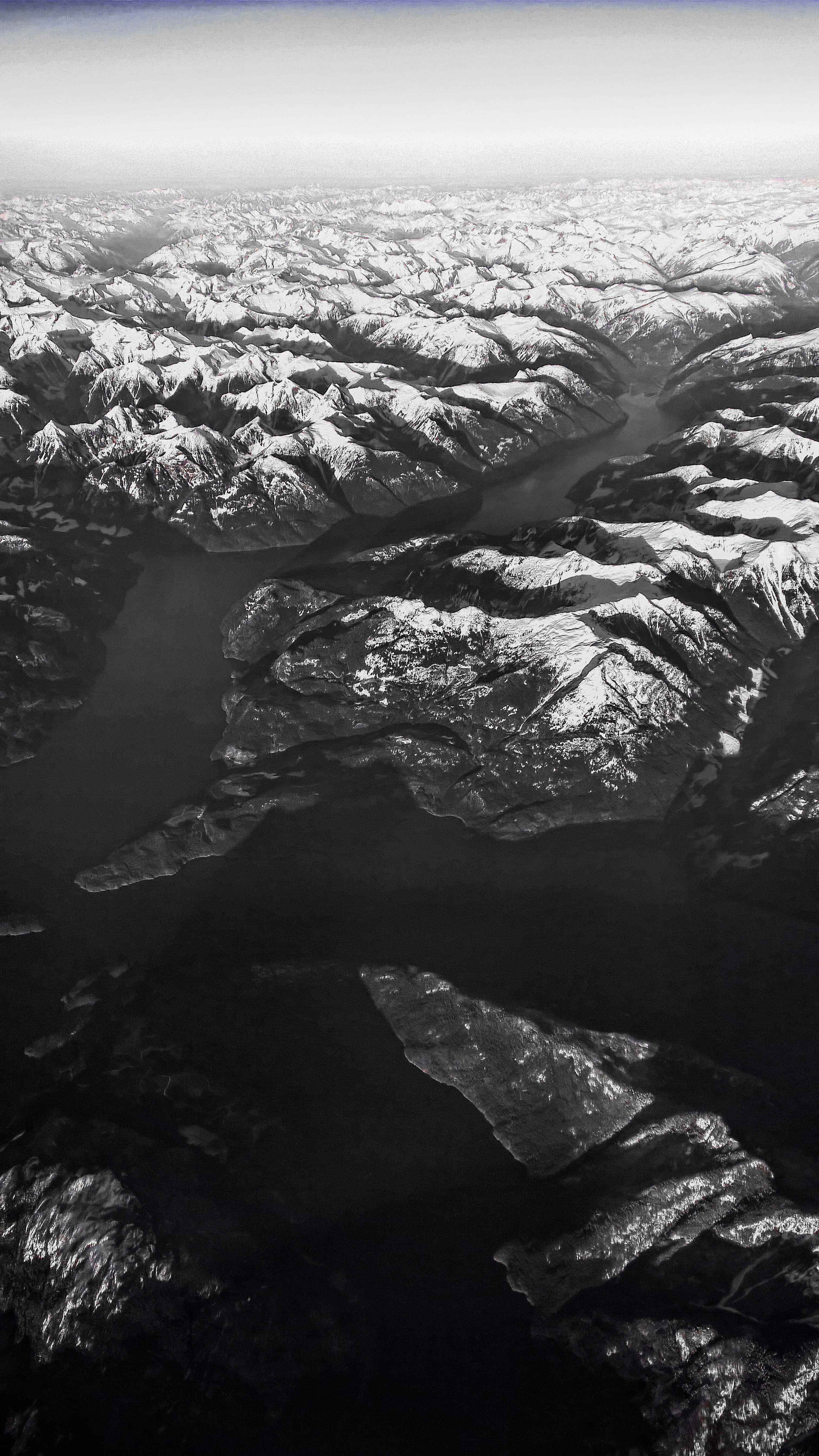
Satellite Map:
Related Photos:

Boat Trip July 2012 (44)
Boat Trip July 2012 (43)
Homfray channel
Boat Trip July 2012 (45)

IMGR1199.jpg
Great weekend. Mondays suck
Going the wrong way
Topographic Map of Mount Denman, Powell River A, BC V8A, Canada
Find elevation by address:

Places near Mount Denman, Powell River A, BC V8A, Canada:
Powell River A
Powell River
Crowther Rd, Powell River, BC V8A 0G4, Canada
3536 Atrevida Rd
Lund
1511 A
6601 King Ave
6567 Sutherland Ave
6504 Chilco Ave
6505 King Ave
6474 King Ave
6503 Atlin Ave
Italian Hall
Powell River Taxi 2001
7210 Tatlow St
5687 Manson Ave
5455 Borden Pl
Walmart Powell River Store
Re/max Powell River
7550 Duncan St
Recent Searches:
- Elevation of Corso Fratelli Cairoli, 35, Macerata MC, Italy
- Elevation of Tallevast Rd, Sarasota, FL, USA
- Elevation of 4th St E, Sonoma, CA, USA
- Elevation of Black Hollow Rd, Pennsdale, PA, USA
- Elevation of Oakland Ave, Williamsport, PA, USA
- Elevation of Pedrógão Grande, Portugal
- Elevation of Klee Dr, Martinsburg, WV, USA
- Elevation of Via Roma, Pieranica CR, Italy
- Elevation of Tavkvetili Mountain, Georgia
- Elevation of Hartfords Bluff Cir, Mt Pleasant, SC, USA