Elevation of Mount Bryant, Kananaskis, AB T0L, Canada
Location: Canada > Alberta > Turner Valley >
Longitude: -114.99166
Latitude: 50.9016666
Elevation: 2568m / 8425feet
Barometric Pressure: 74KPa
Elevation Map:
Satellite Map:
Related Photos:
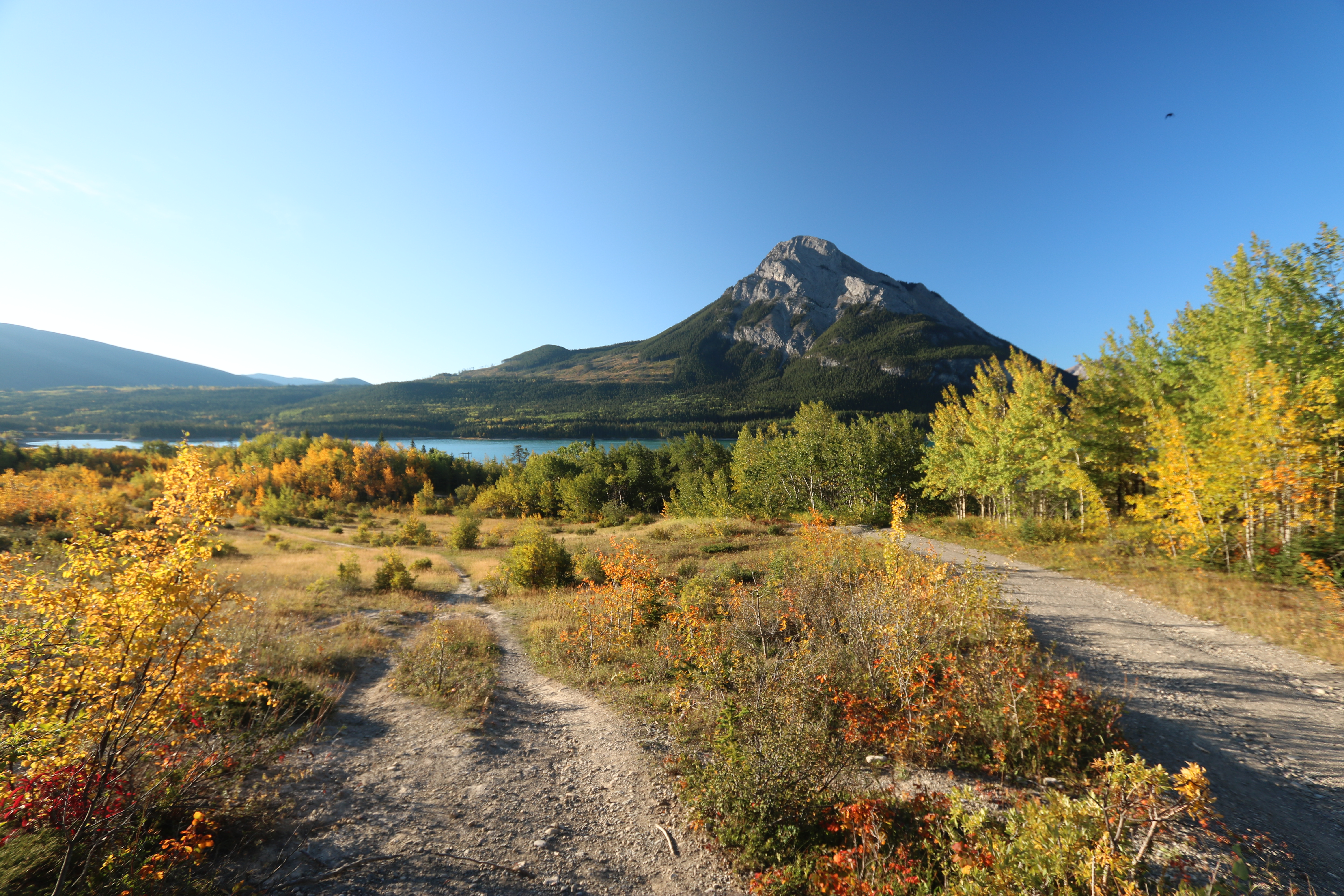
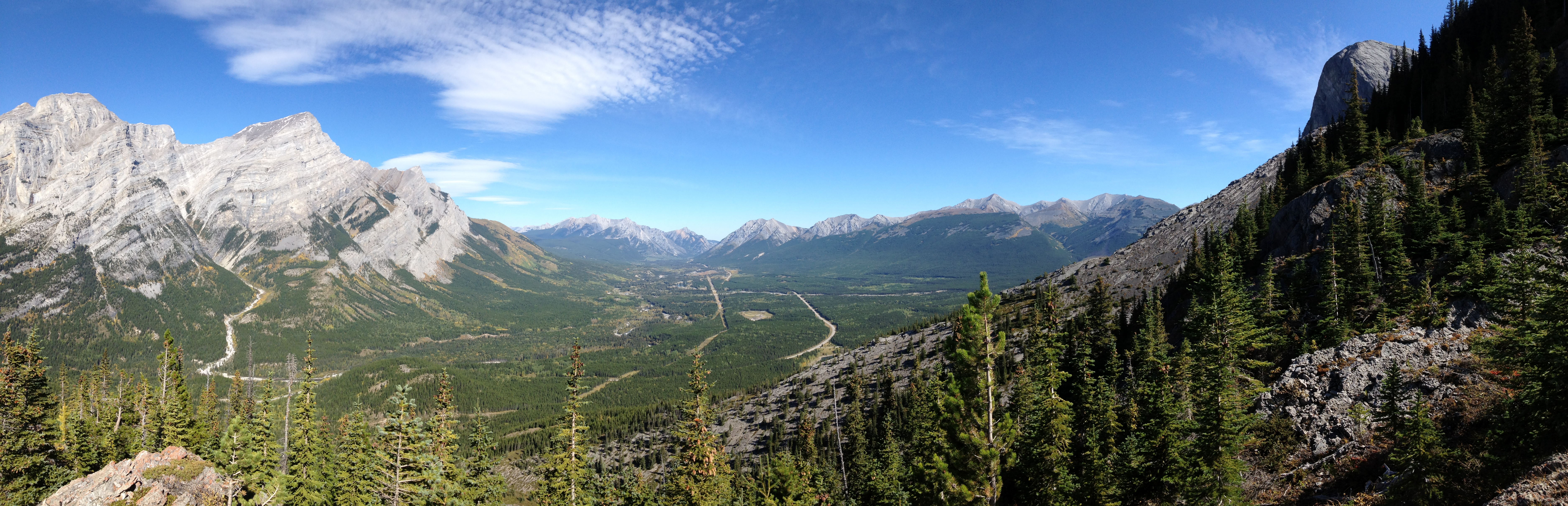
Nihahi Ridge the hike back down

Happy Bench Monday
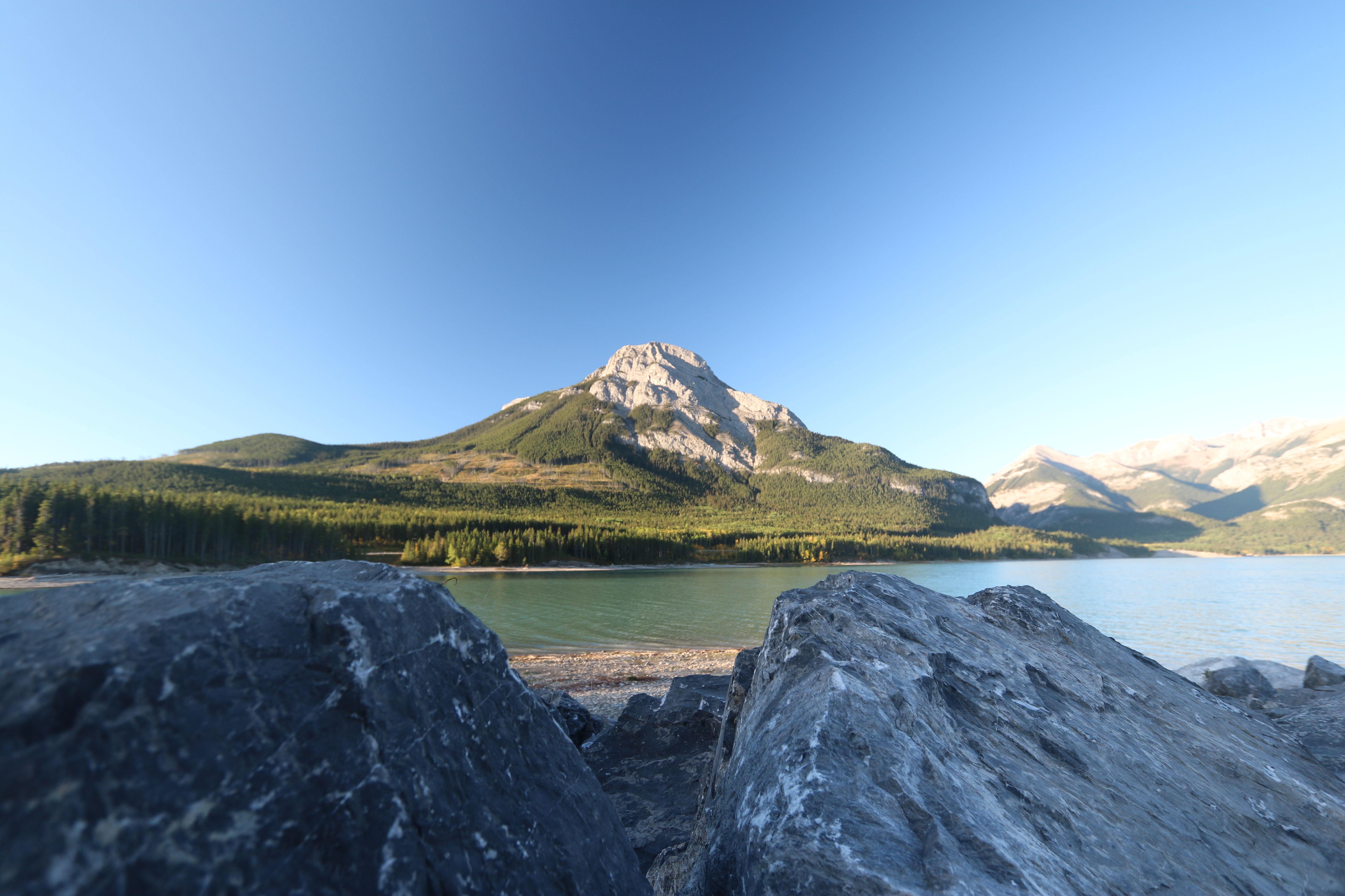
Barrier lake Prairie view trail hike sept 12th 2015
Merry Christmas!
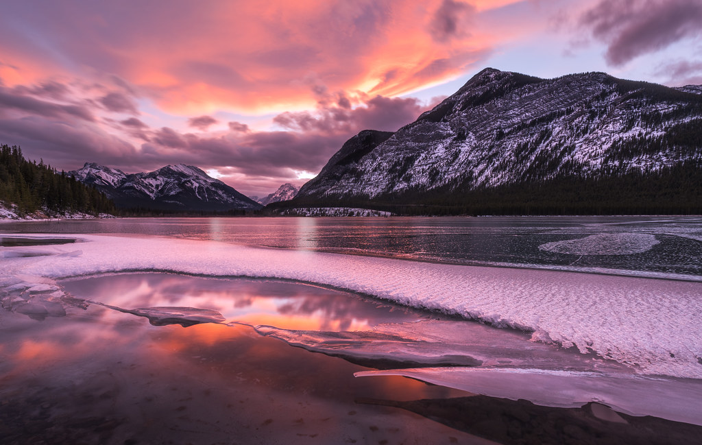
Frozen Sunset Reflections
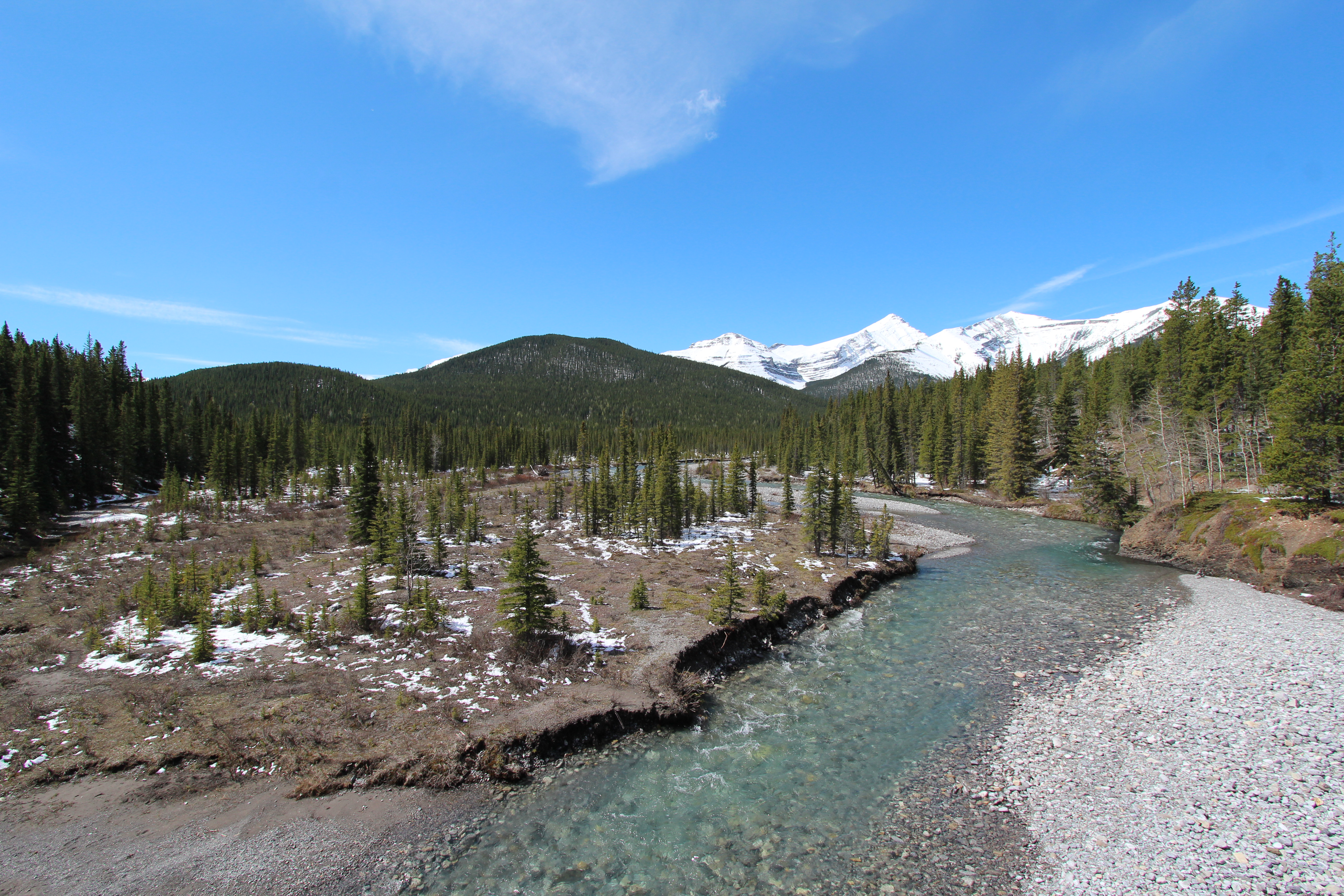
Barrier lake Prairie view trail hike sept 12th 2015
Nihahi Ridge the hike back down
Day hike at Kananaskis Ford Knoll Trail
Barrier lake Prairie view trail hike sept 12th 2015
True Canadian spirit,Elbow falls Canada
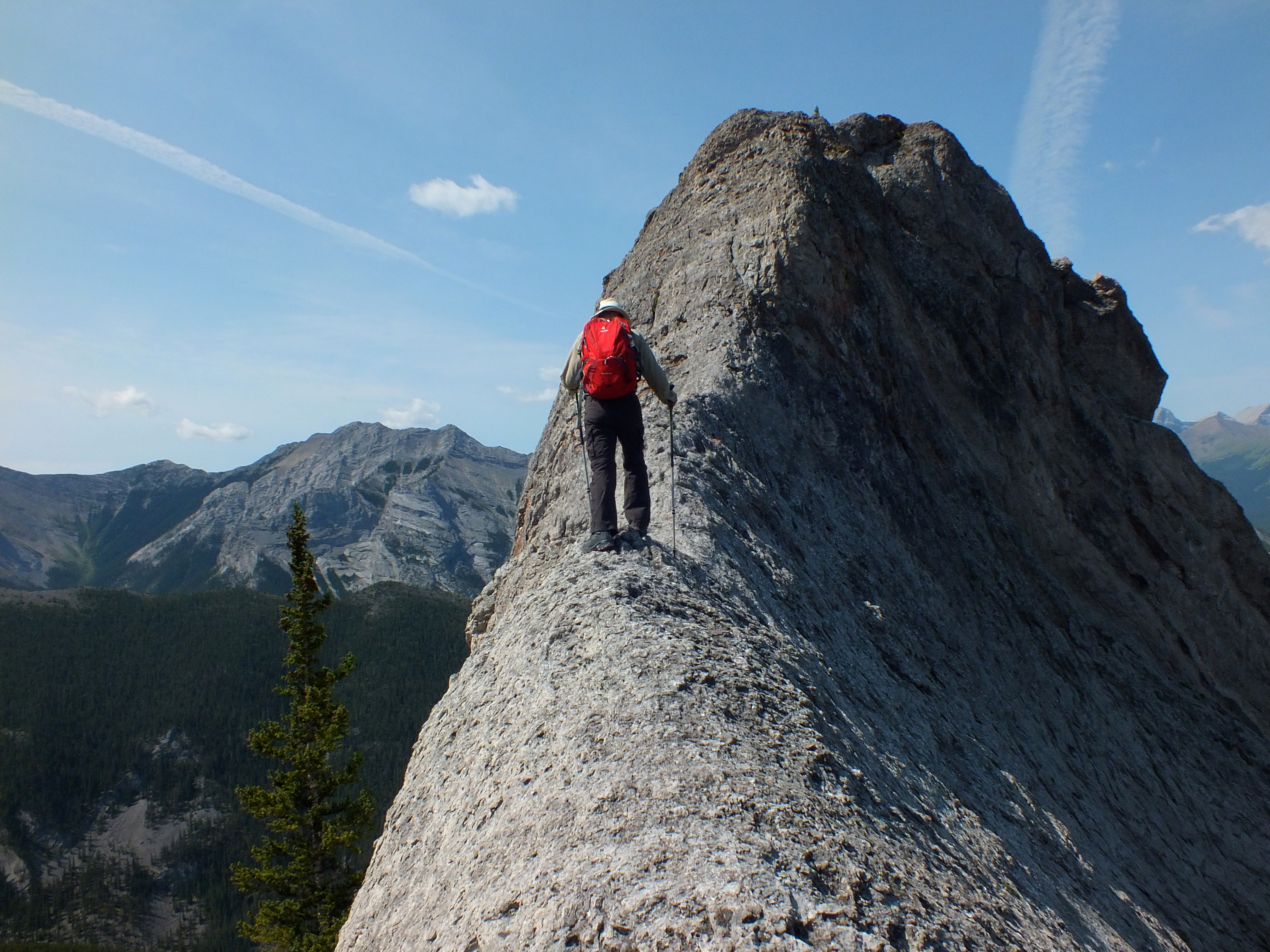
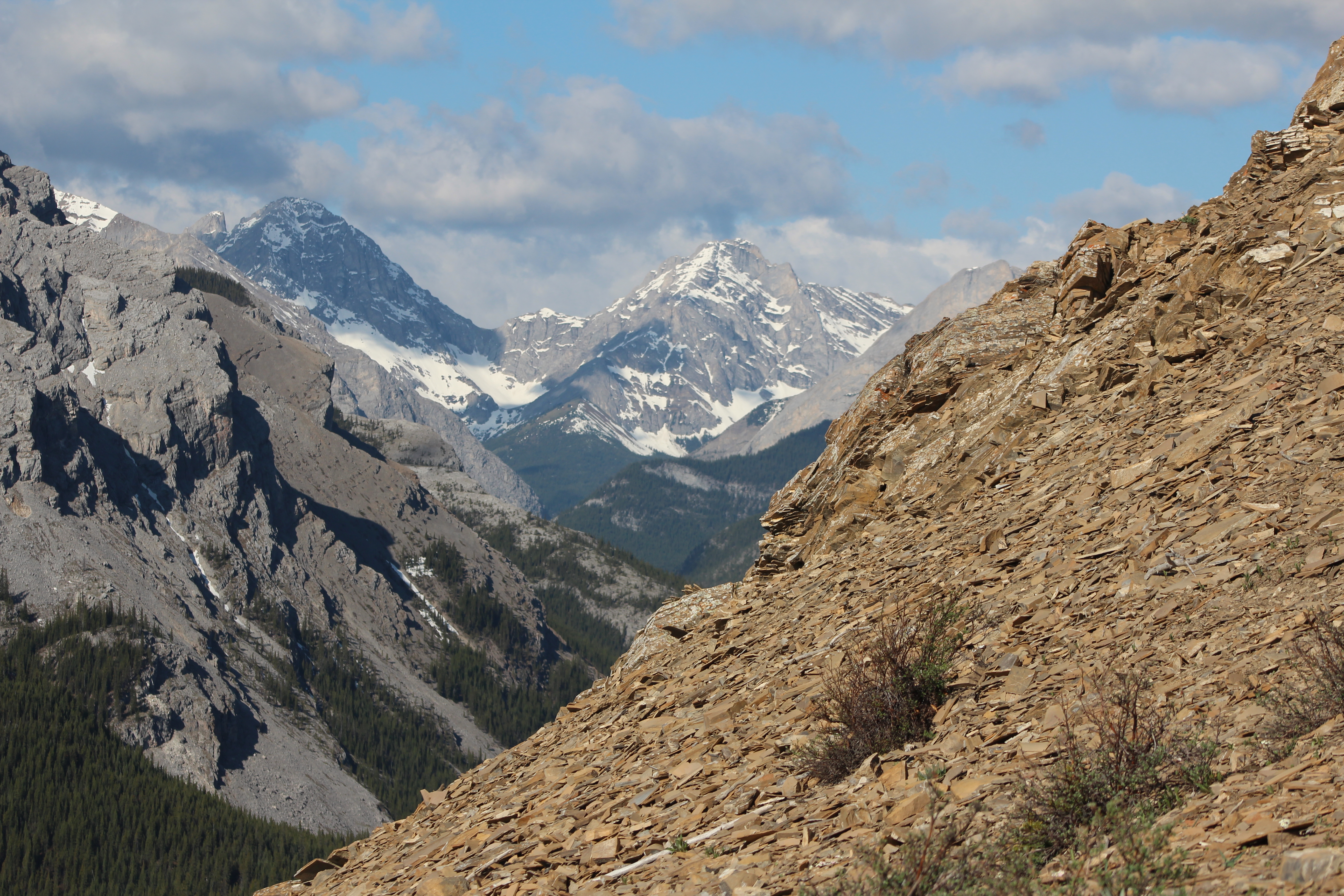
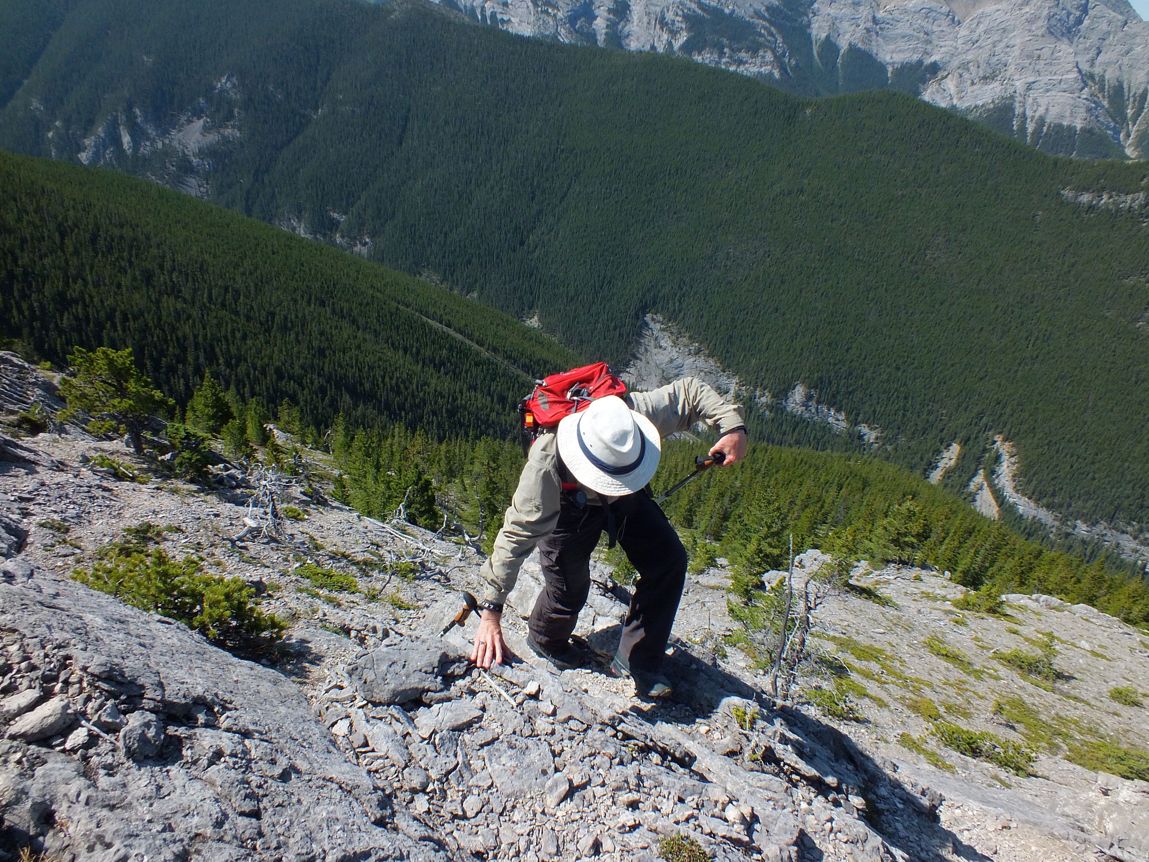
Porcupine Ridge Summit Scramble - Larry thinks he can summit this pinnacle
Barrier lake Prairie view trail hike sept 12th 2015
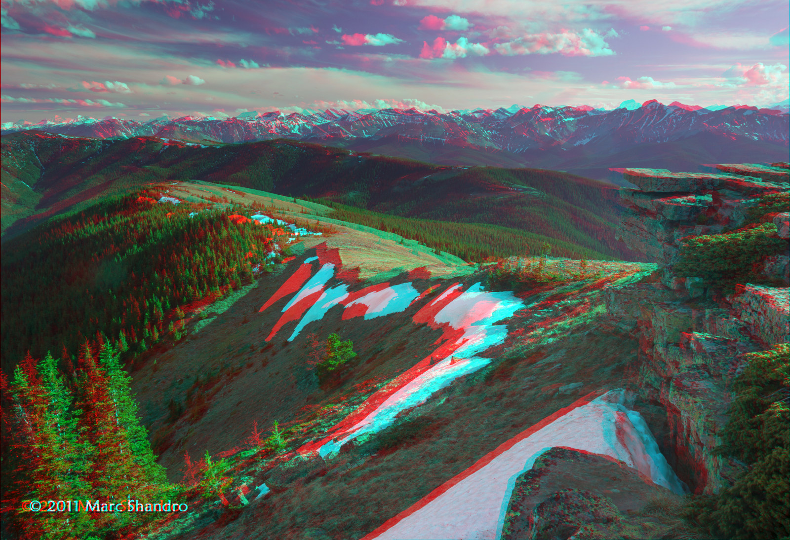
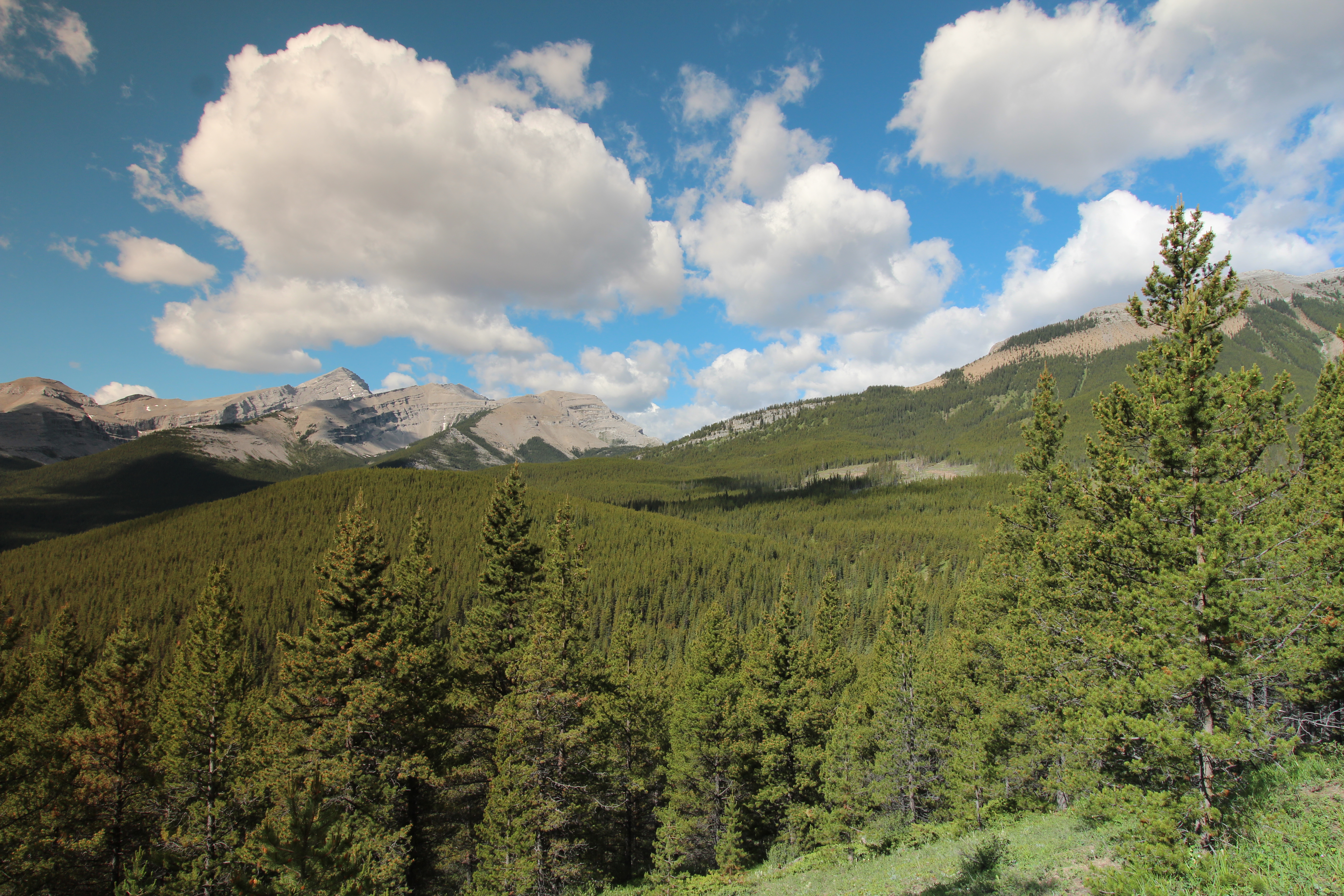
View From Cox Hill Summit - Kananaskis Alberta - Canadian Rockies - 3D
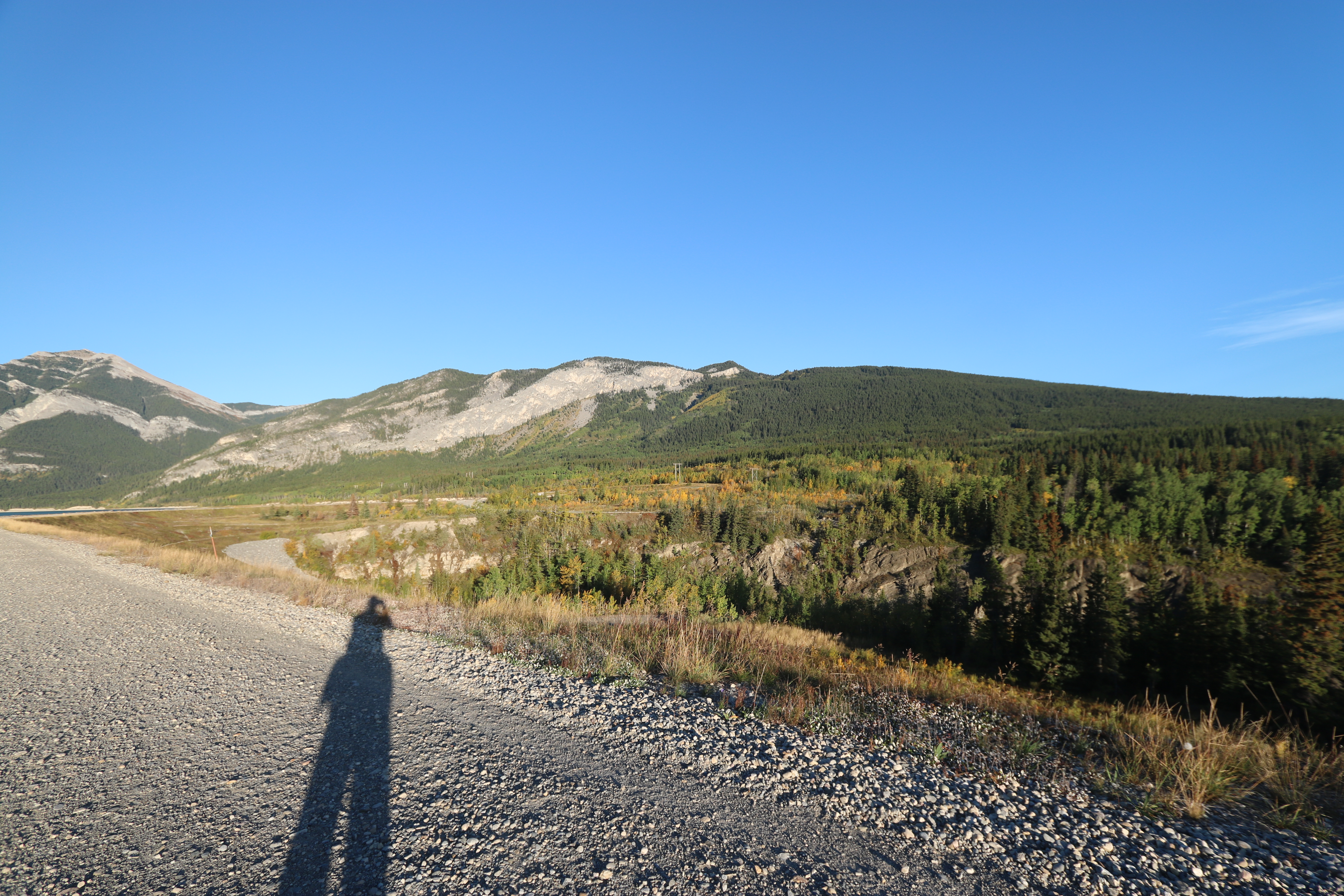
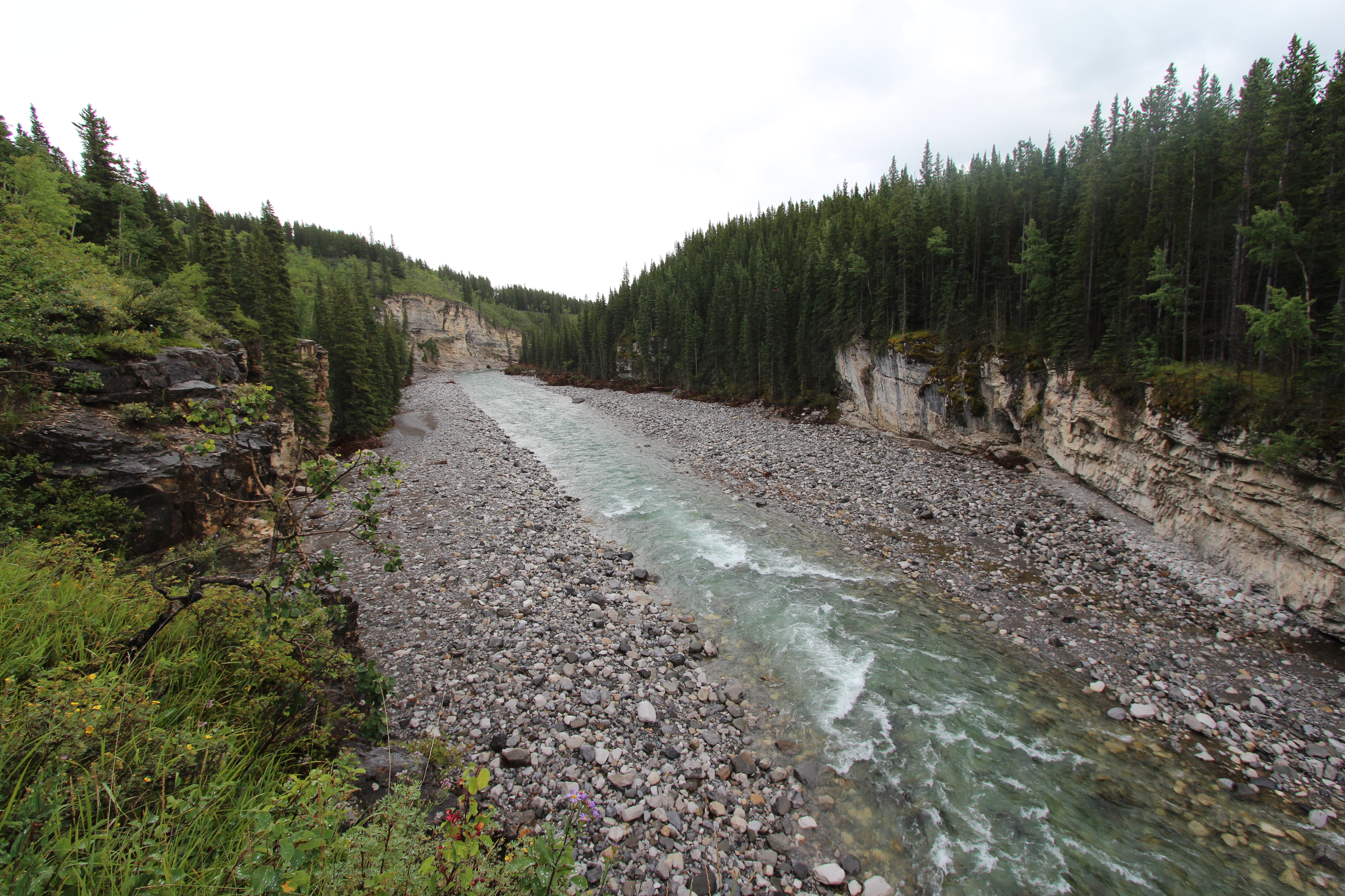
View from Harold Chapman bridge Kananaskis before the floods 2013

View from Harold Chapman bridge Kananaskis before the floods 2013
Elbow falls Kananaskis country Alberta after the floods of 2013
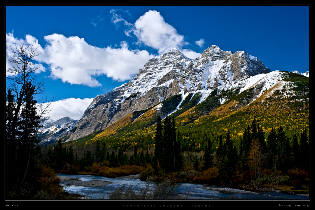
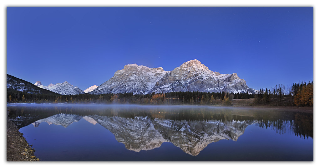
Mt. Kidd in Autumn

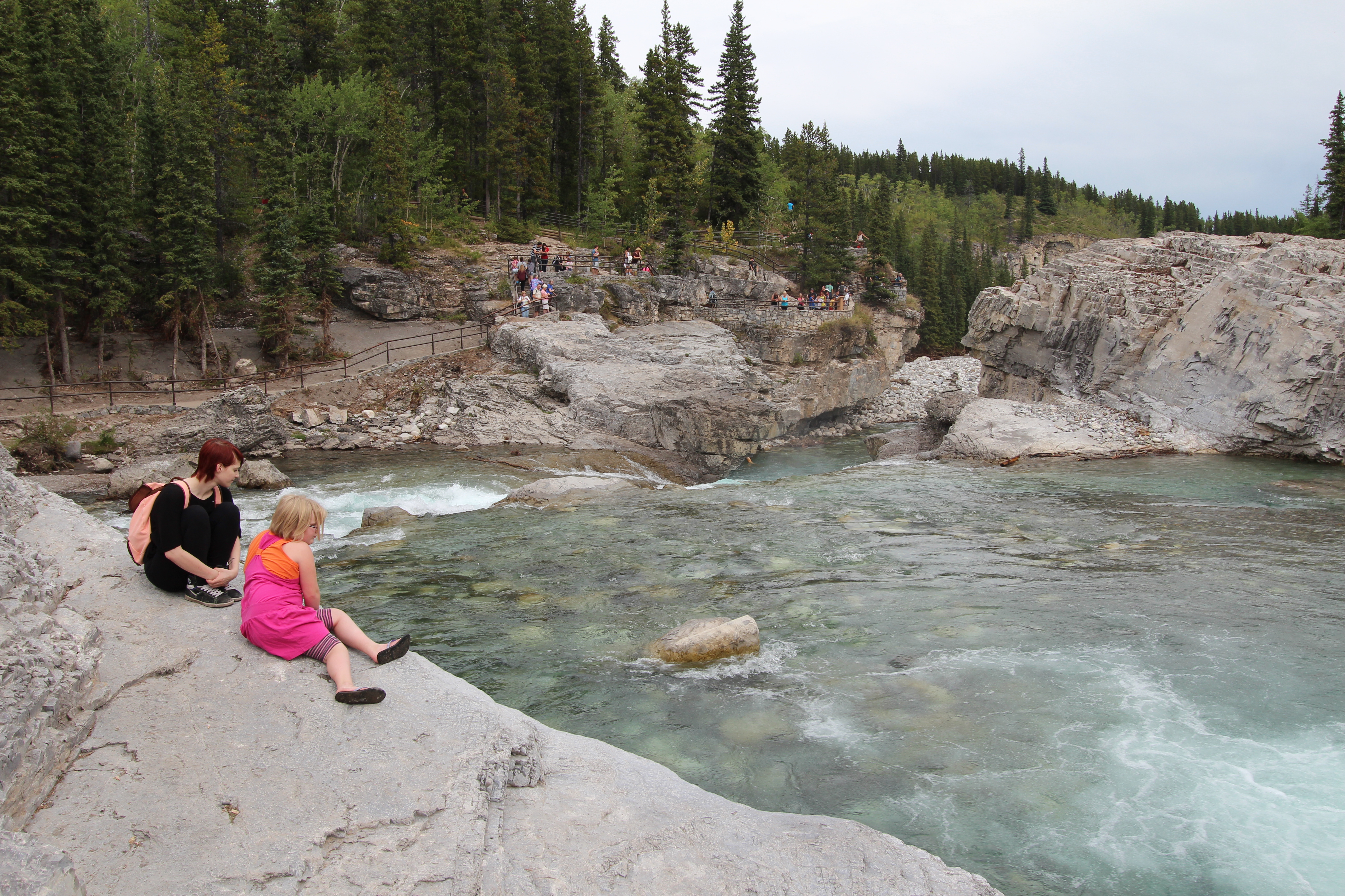
Bridge over Kananaskis River, Canada
365-196 Why people don't come hiking with us...
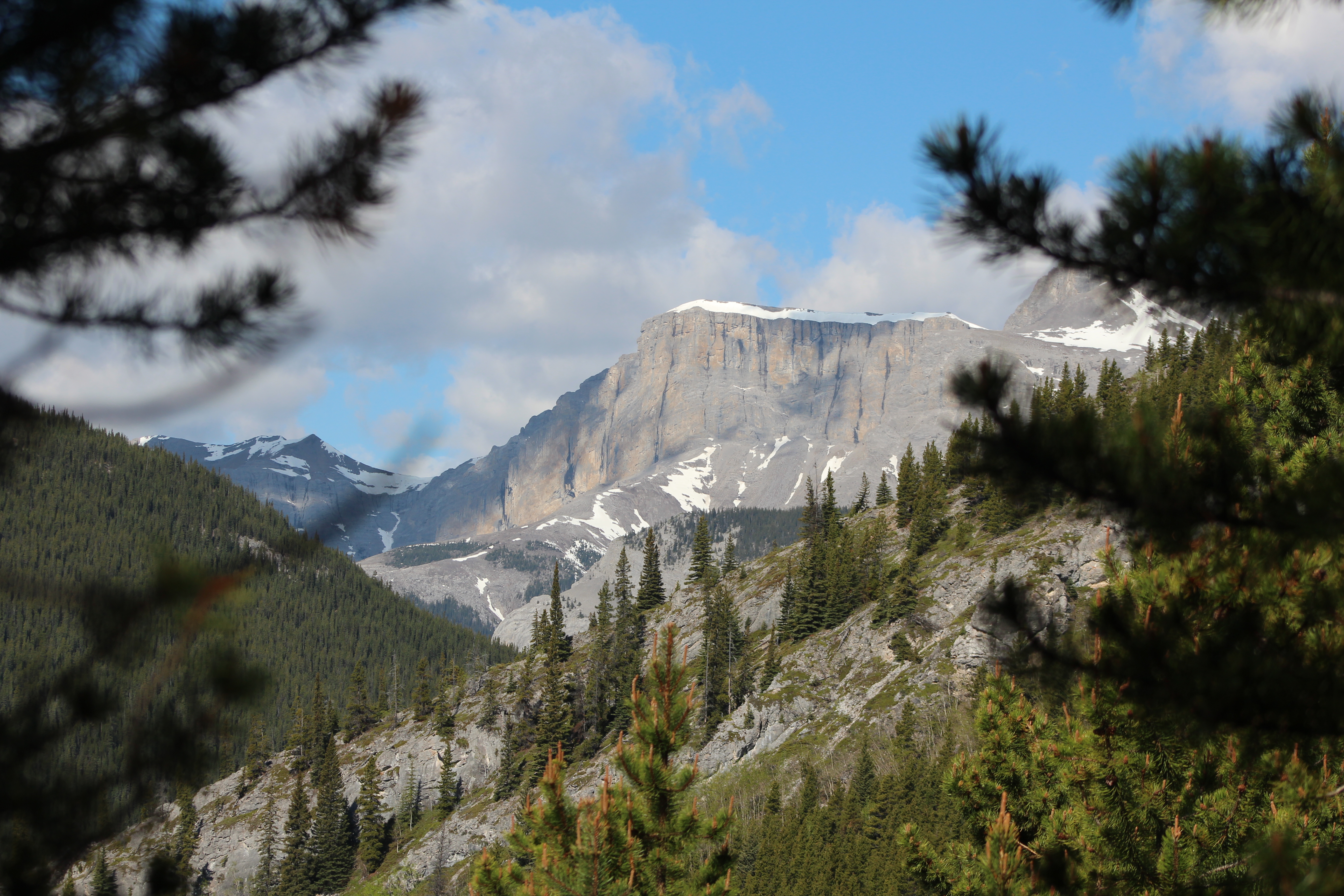
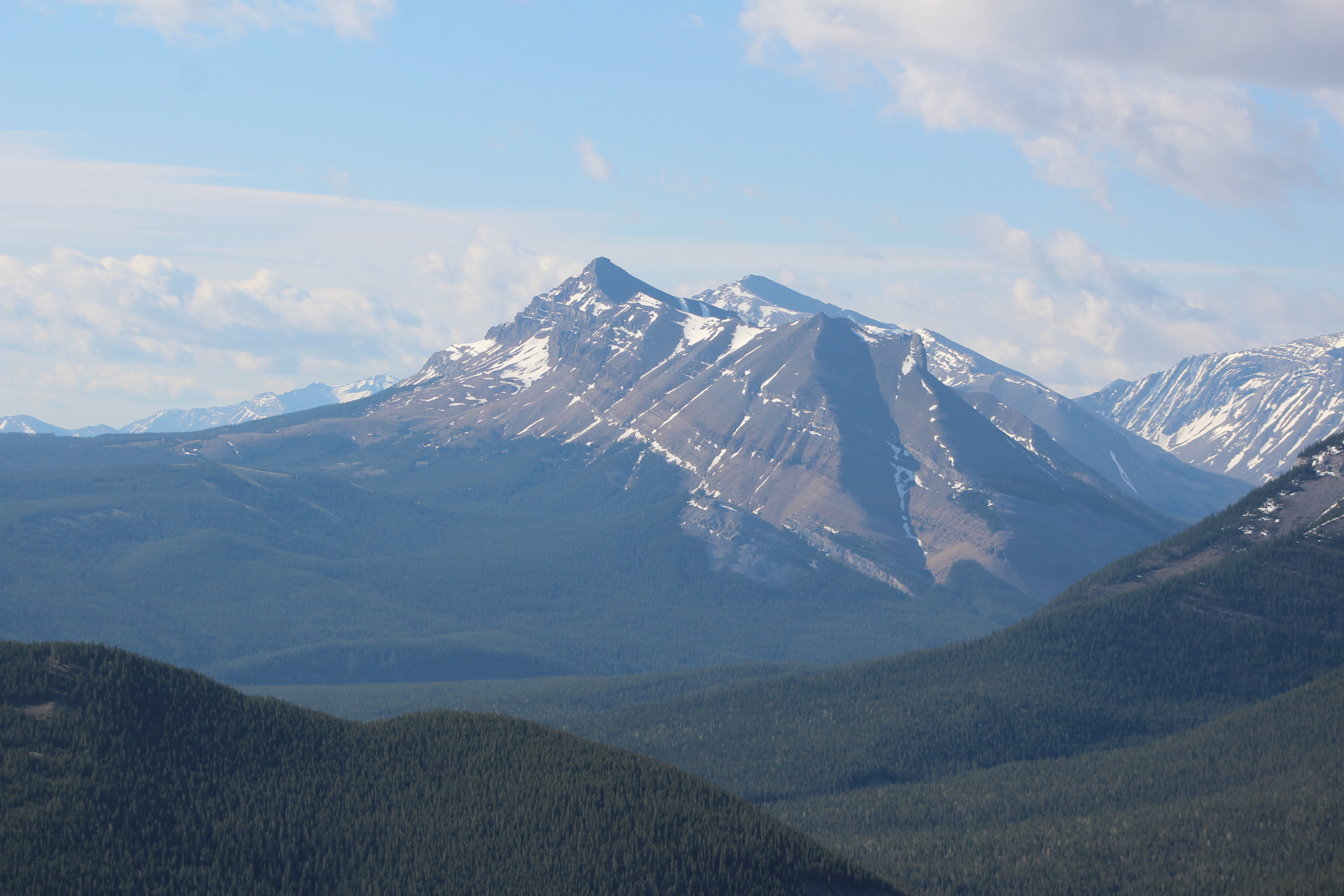
365-235 Limestone Mountain Scramble - Mid-mountain pano
Nihahi Ridge the hike back down
Topographic Map of Mount Bryant, Kananaskis, AB T0L, Canada
Find elevation by address:

Places near Mount Bryant, Kananaskis, AB T0L, Canada:
Bryant Nw2
Bryant N4
Mount Howard
Wasootch Peak
Mount Mcdougall
Mcdougall Nw2
Midnight Peak
Mount Fullerton
Fisher Peak
The Wedge
Mount Kidd Drive
Kananaskis Village Helistop Heliport
Kananaskis Country Golf Course
1 Centennial Dr
Delta Hotels By Marriott Kananaskis Lodge
Kananaskis Village Ctr
1 Centennial Dr
1 Centennial Dr
Mount Collembola
Ribbon Peak
Recent Searches:
- Elevation of Corso Fratelli Cairoli, 35, Macerata MC, Italy
- Elevation of Tallevast Rd, Sarasota, FL, USA
- Elevation of 4th St E, Sonoma, CA, USA
- Elevation of Black Hollow Rd, Pennsdale, PA, USA
- Elevation of Oakland Ave, Williamsport, PA, USA
- Elevation of Pedrógão Grande, Portugal
- Elevation of Klee Dr, Martinsburg, WV, USA
- Elevation of Via Roma, Pieranica CR, Italy
- Elevation of Tavkvetili Mountain, Georgia
- Elevation of Hartfords Bluff Cir, Mt Pleasant, SC, USA