Elevation of Mount Collembola, Kananaskis, AB T0L, Canada
Location: Canada > Alberta > Division No. 15 > Kananaskis >
Longitude: -115.20166
Latitude: 50.9716666
Elevation: 2690m / 8825feet
Barometric Pressure: 73KPa
Elevation Map:
Satellite Map:
Related Photos:
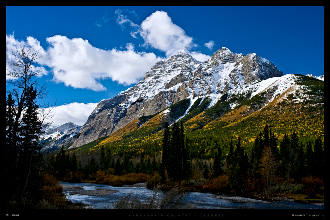
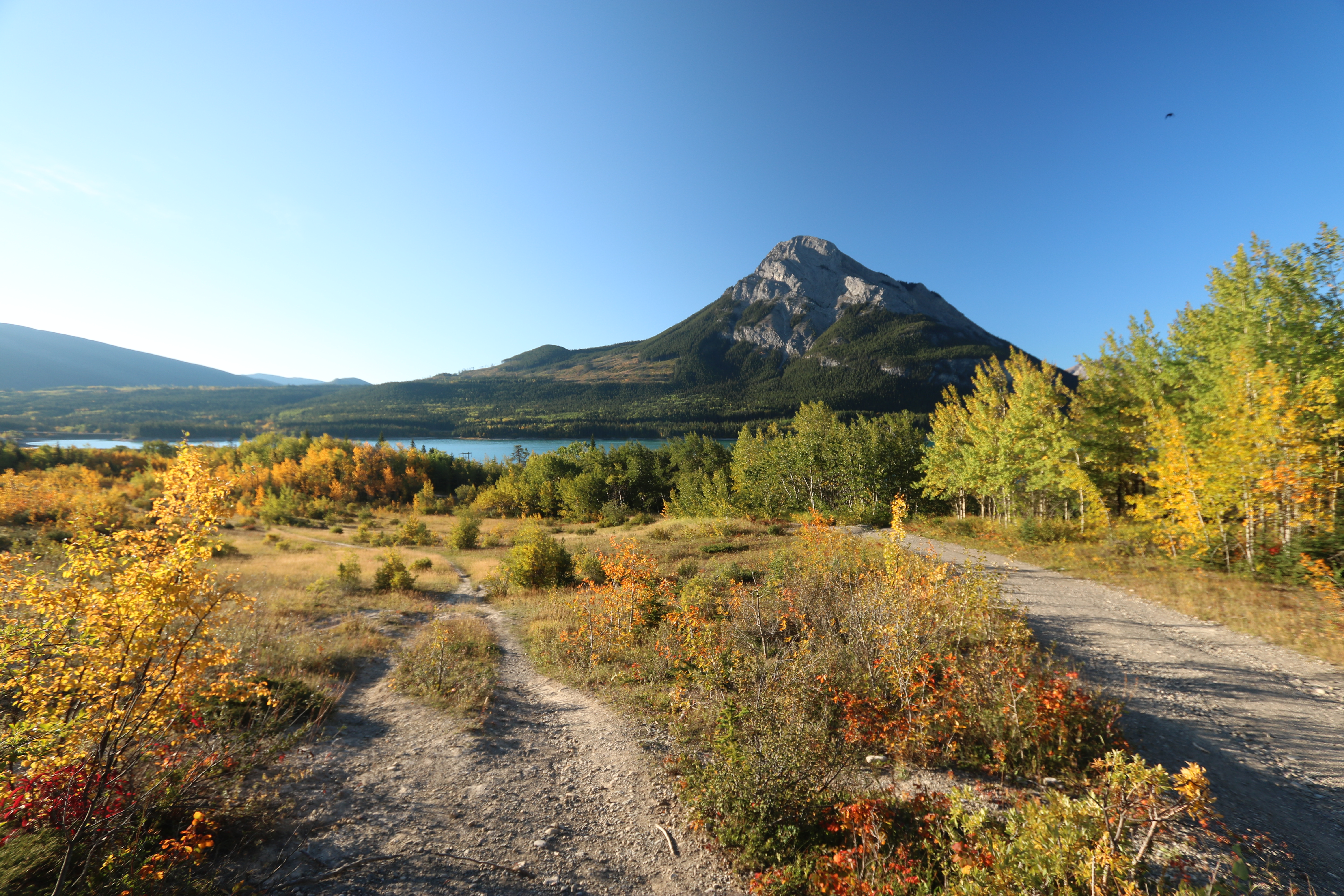
Mt. Kidd in Autumn
The point of view (on Explore the 17.07.2012)

Bridge over Kananaskis River, Canada
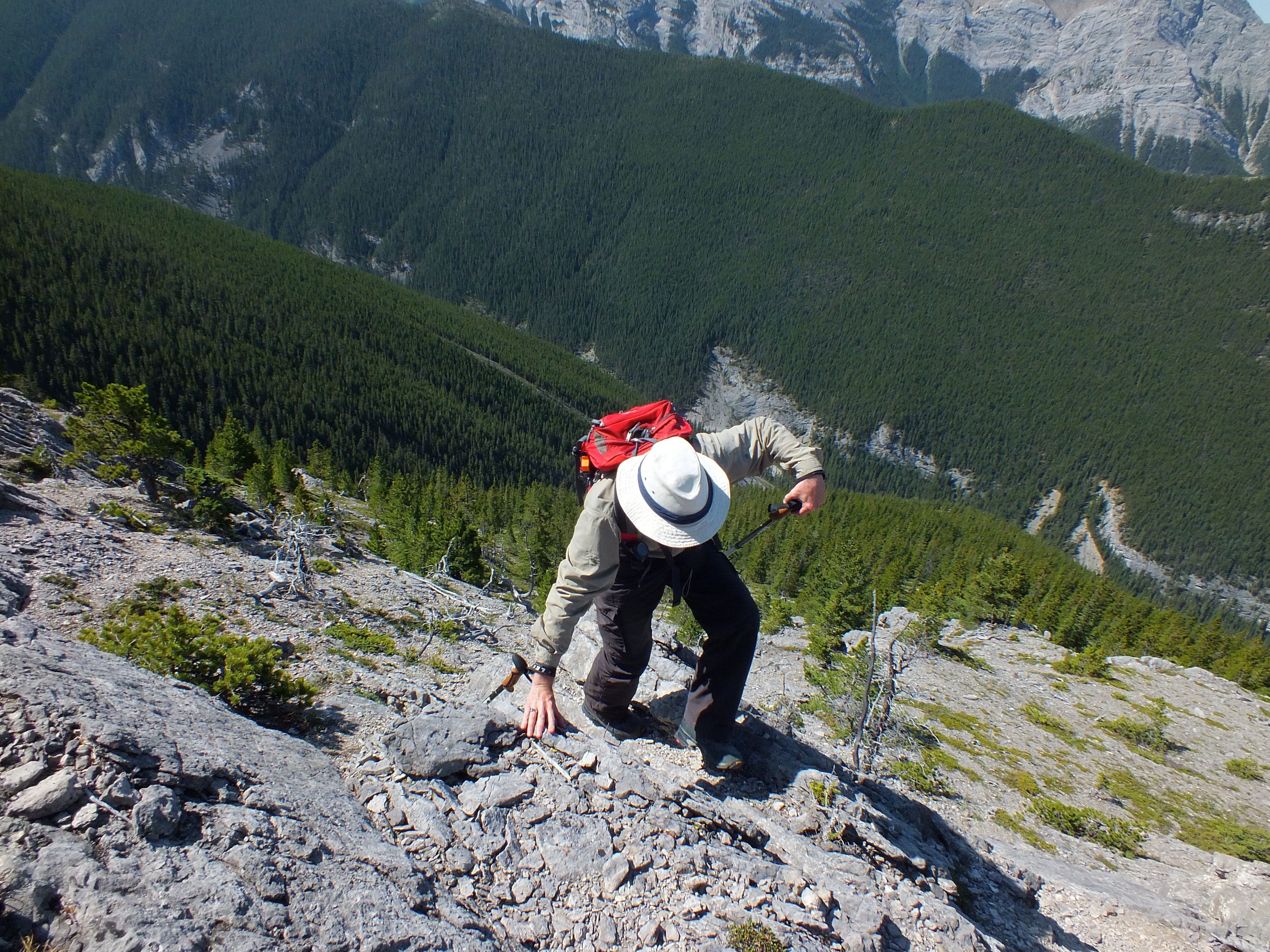
365-196 Why people don't come hiking with us...
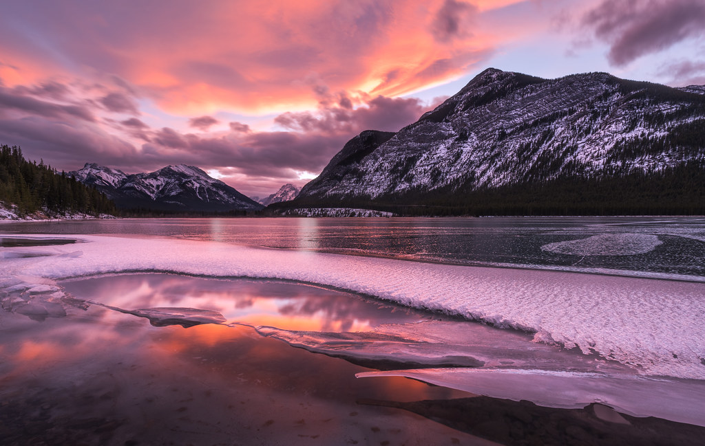
Frozen Sunset Reflections
Wind ridge hike Kananaskis Alberta Canada
Fire lookout Bow valley Alberta Canada
Morning Sun - Banff National Park
Stroll On The Ridge
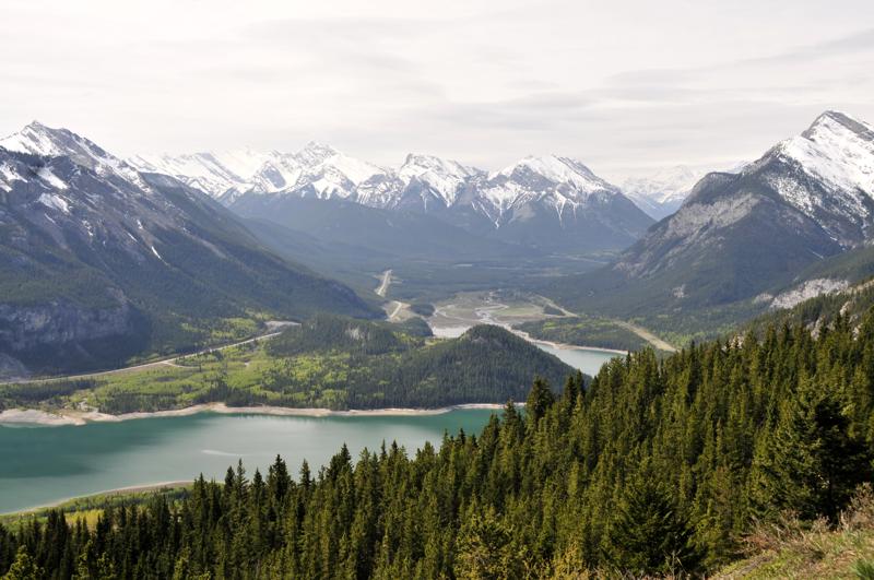
Barrier lake Prairie view trail hike sept 12th 2015
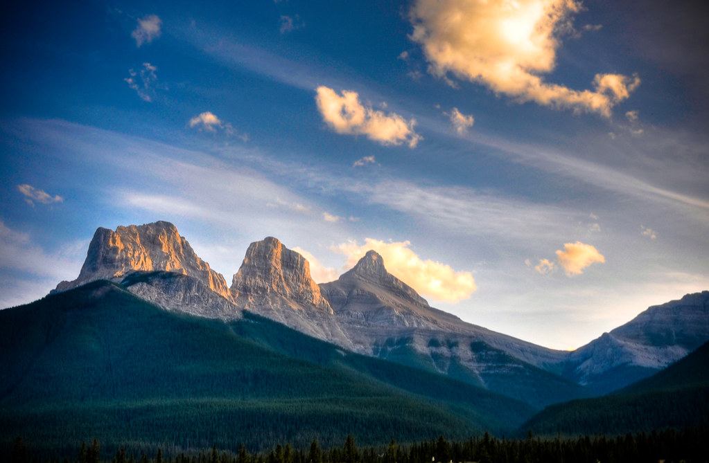
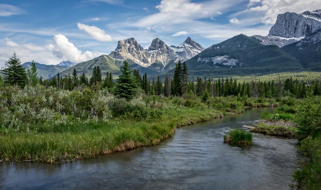
The Three Sisters
Heading cross country to the rock with a view, I can see it there on the right but there is quite the drop between me and my goal.
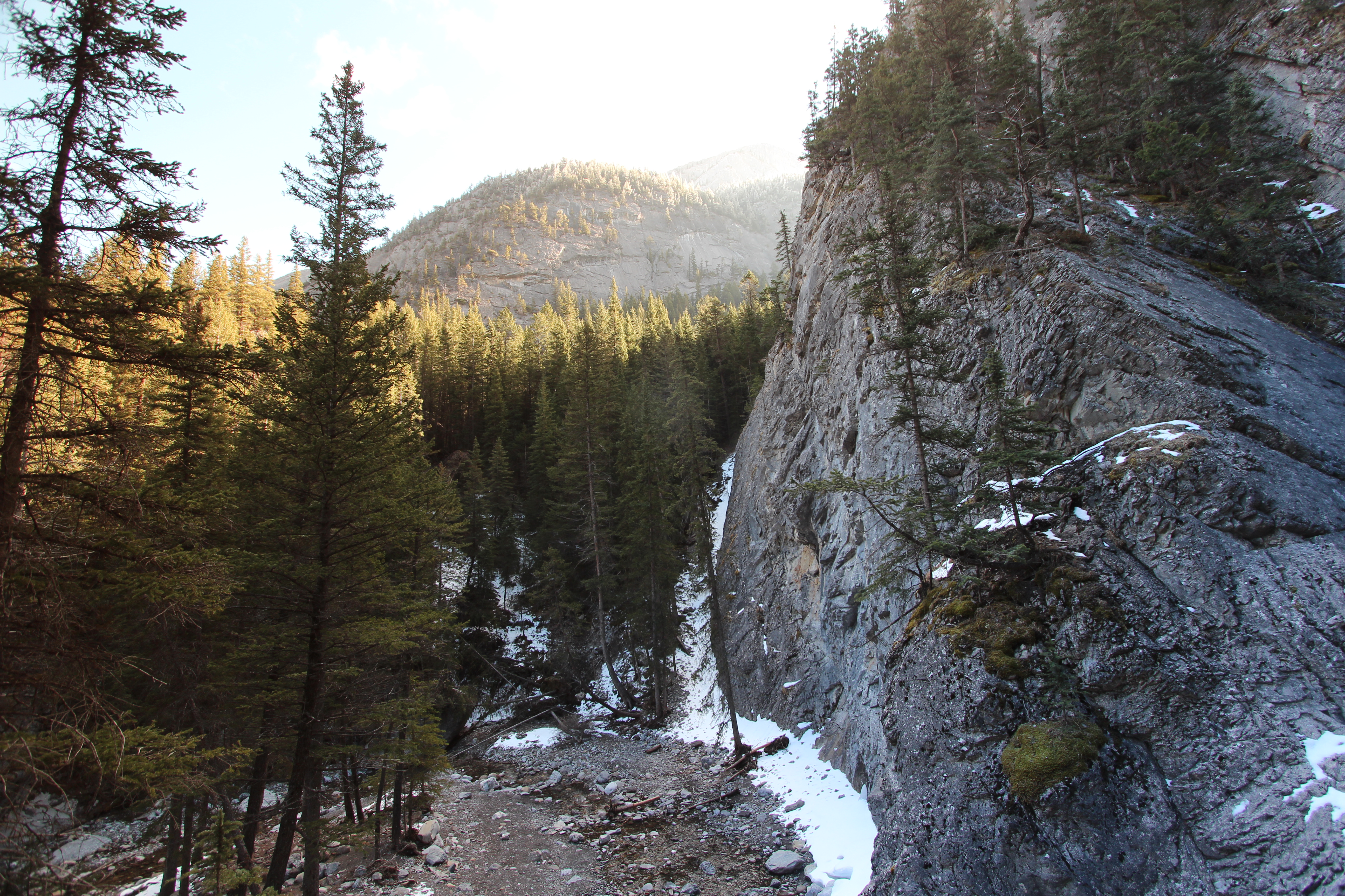
Heart creek trail trying to get up the rocks to see if I can get a view of the waterfall, sadly it's just out of reach round the corner
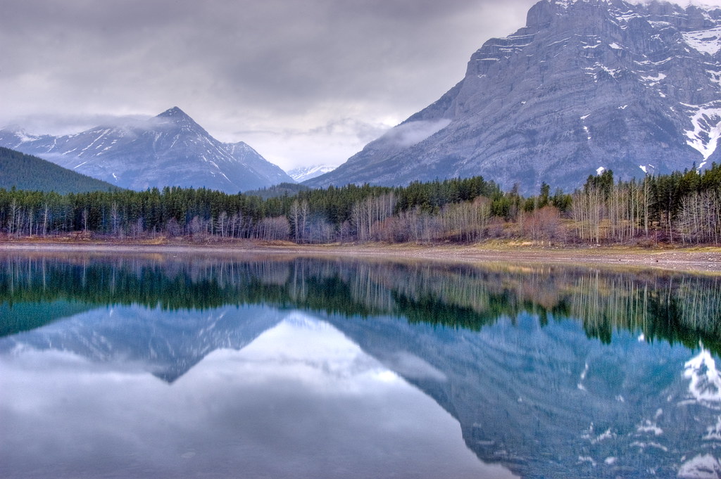
Wedge Pond

View from Mt. Allen
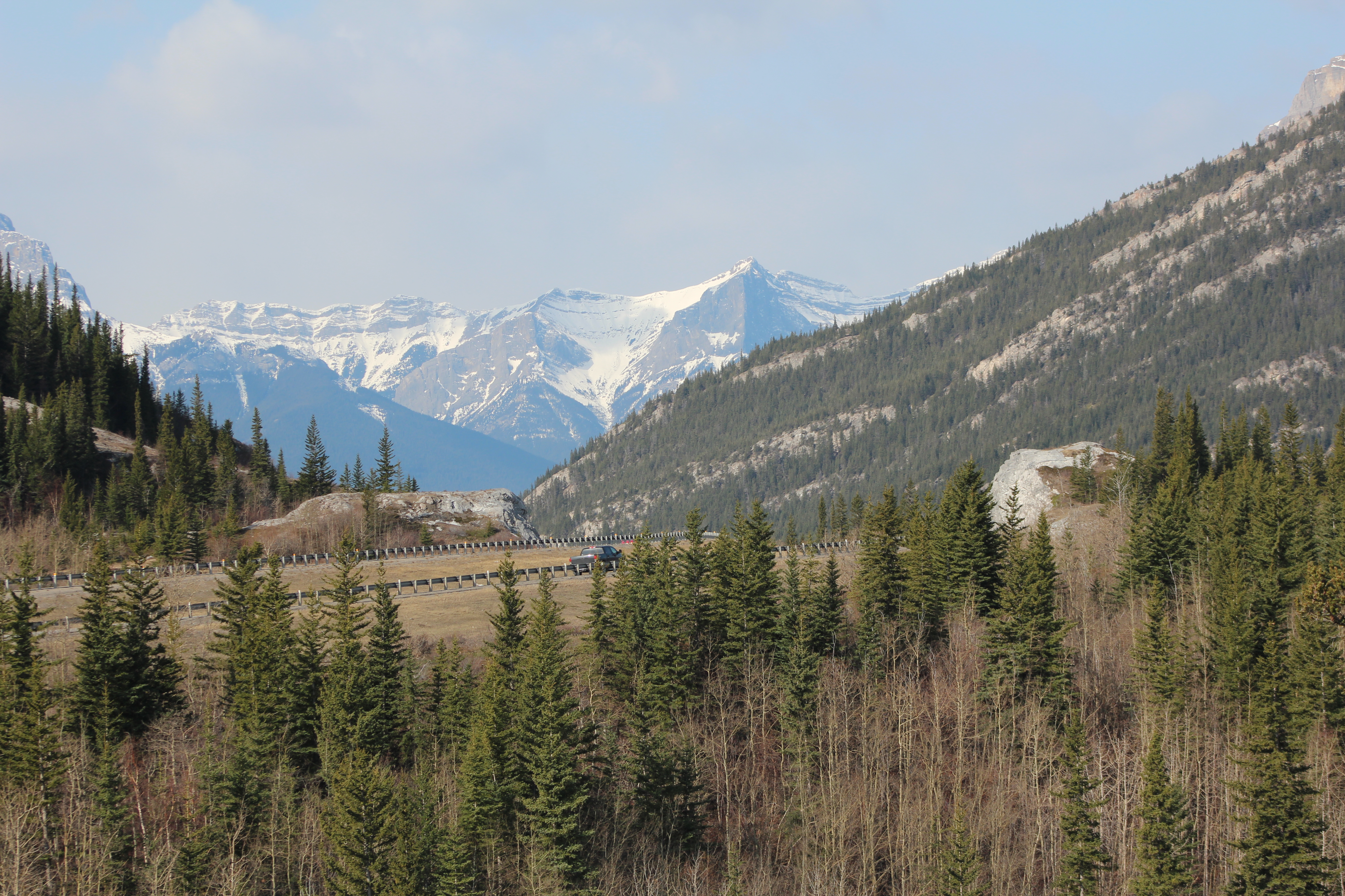
Bow valley park on a sunny day.
Trailer Park View
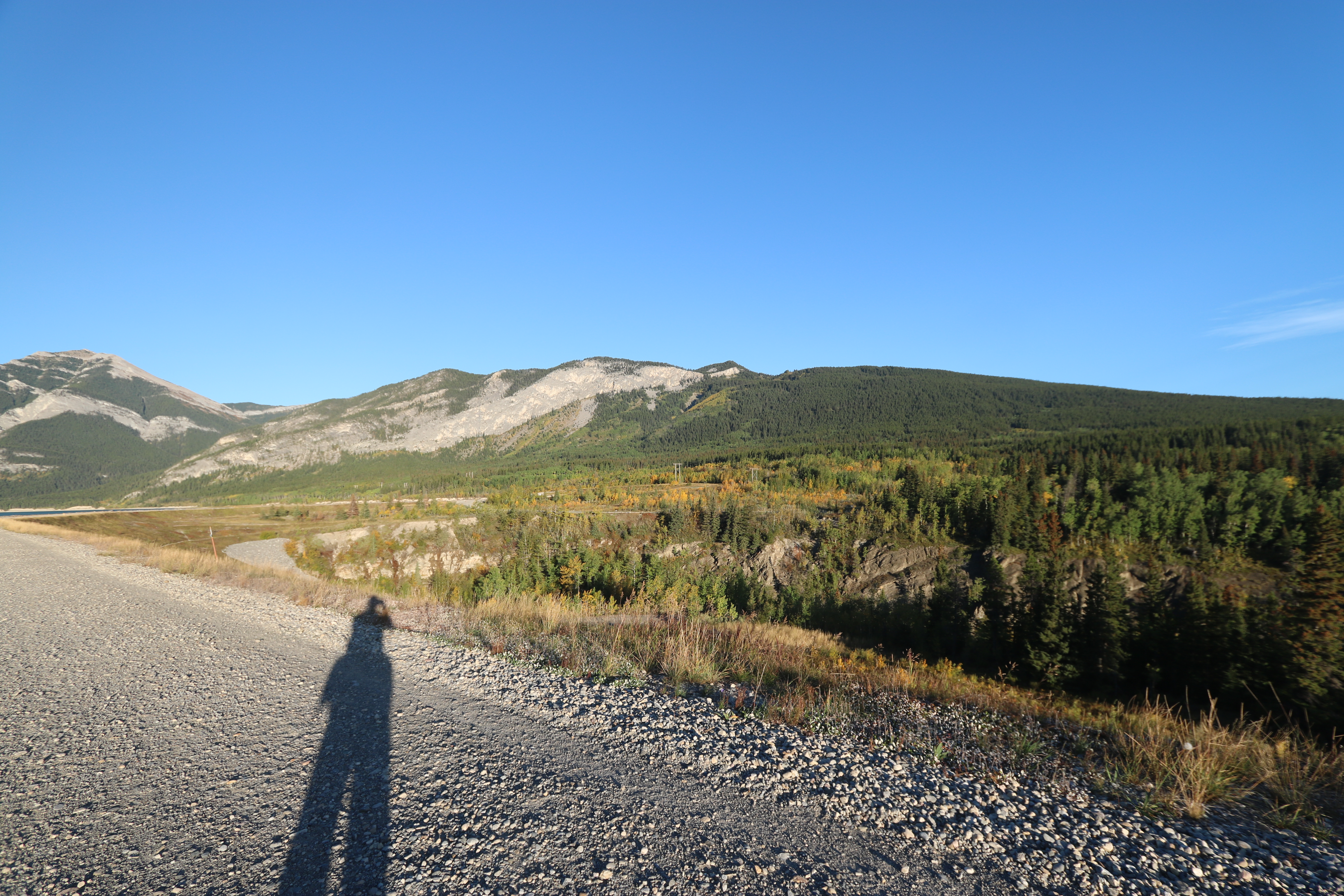
Barrier lake Prairie view trail hike sept 12th 2015
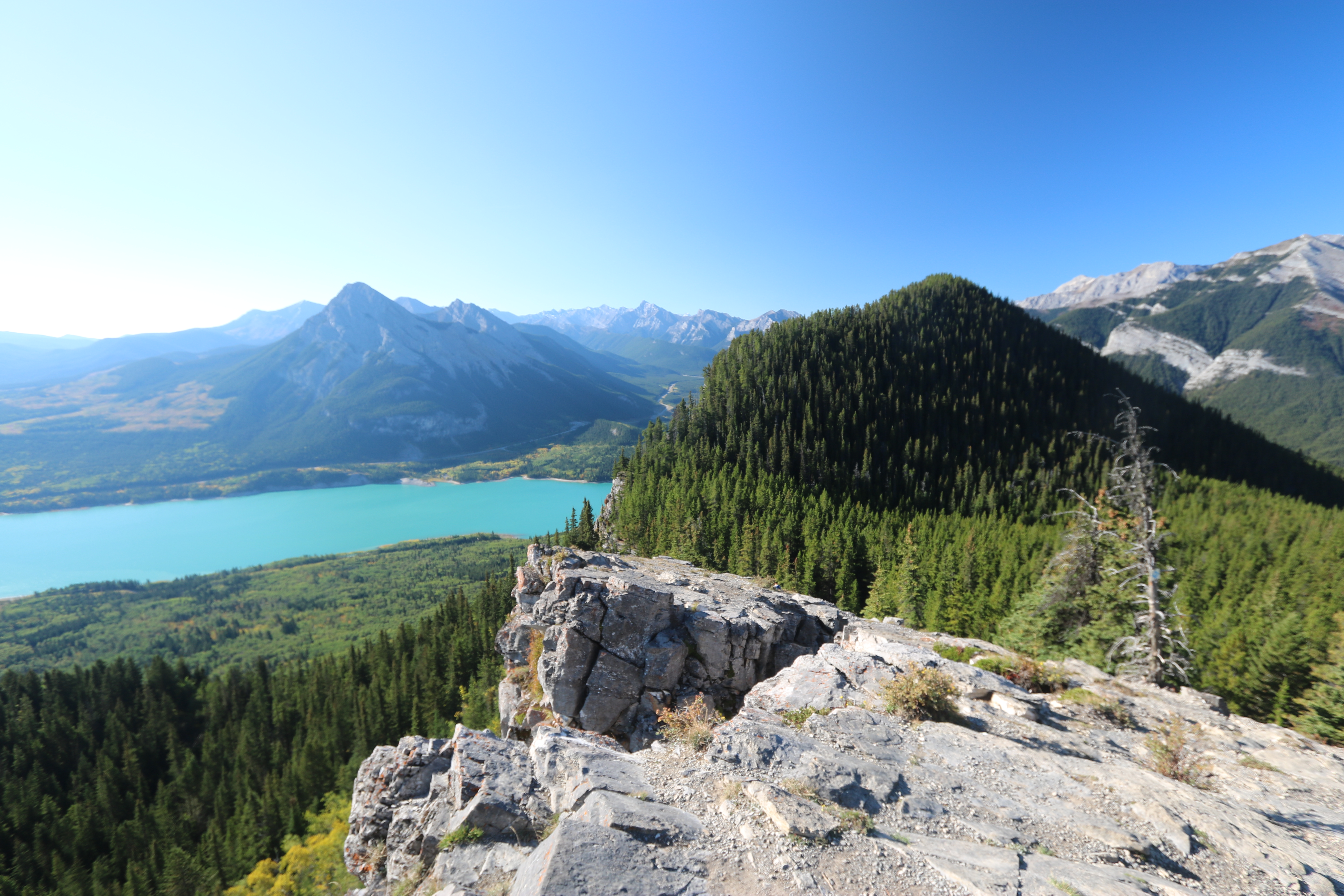
Barrier lake Prairie view trail hike sept 12th 2015 Alberta Canada

Wind ridge hike Alberta Canada the correct way.
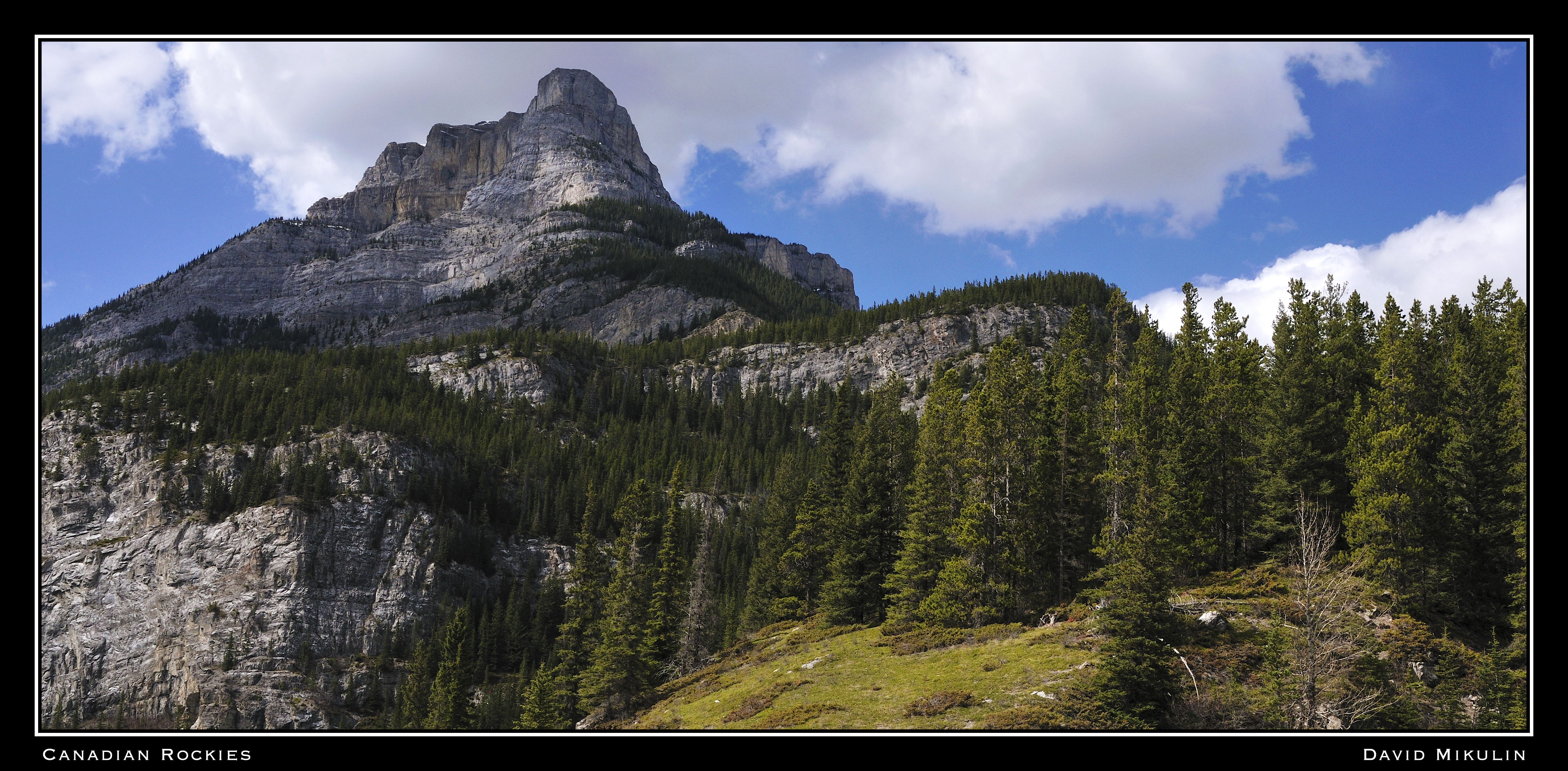
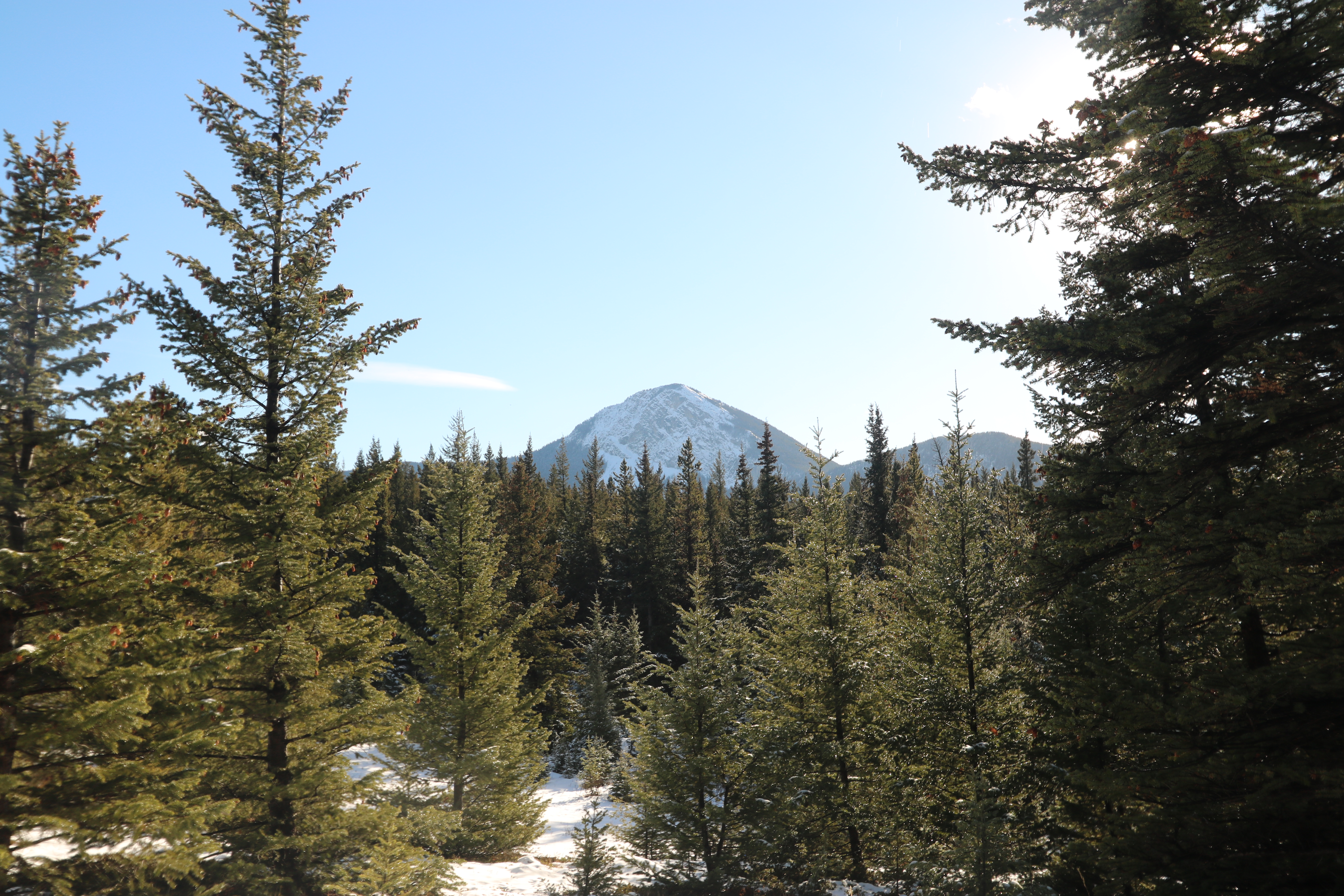
Canadian Rockies
Topographic Map of Mount Collembola, Kananaskis, AB T0L, Canada
Find elevation by address:

Places near Mount Collembola, Kananaskis, AB T0L, Canada:
Mount Allan
Wind Mountain
Ribbon Peak
Mount Lougheed
Mount Sparrowhawk
Mount Bogart
1 Centennial Dr
Kananaskis Village Ctr
1 Centennial Dr
1 Centennial Dr
Delta Hotels By Marriott Kananaskis Lodge
Kananaskis Village Helistop Heliport
Kananaskis Country Golf Course
Mount Kidd Drive
The Wedge
The Tower
Mcdougall Nw2
The Fortress
Kananaskis Range
Mount Engadine
Recent Searches:
- Elevation of Corso Fratelli Cairoli, 35, Macerata MC, Italy
- Elevation of Tallevast Rd, Sarasota, FL, USA
- Elevation of 4th St E, Sonoma, CA, USA
- Elevation of Black Hollow Rd, Pennsdale, PA, USA
- Elevation of Oakland Ave, Williamsport, PA, USA
- Elevation of Pedrógão Grande, Portugal
- Elevation of Klee Dr, Martinsburg, WV, USA
- Elevation of Via Roma, Pieranica CR, Italy
- Elevation of Tavkvetili Mountain, Georgia
- Elevation of Hartfords Bluff Cir, Mt Pleasant, SC, USA