Elevation of Midnight Peak, Kananaskis, AB T0L, Canada
Location: Canada > Alberta > Division No. 15 > Kananaskis >
Longitude: -115.02944
Latitude: 50.9747222
Elevation: 2250m / 7382feet
Barometric Pressure: 77KPa
Elevation Map:
Satellite Map:
Related Photos:
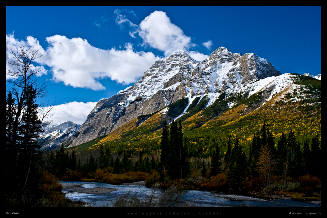
Mt. Kidd in Autumn
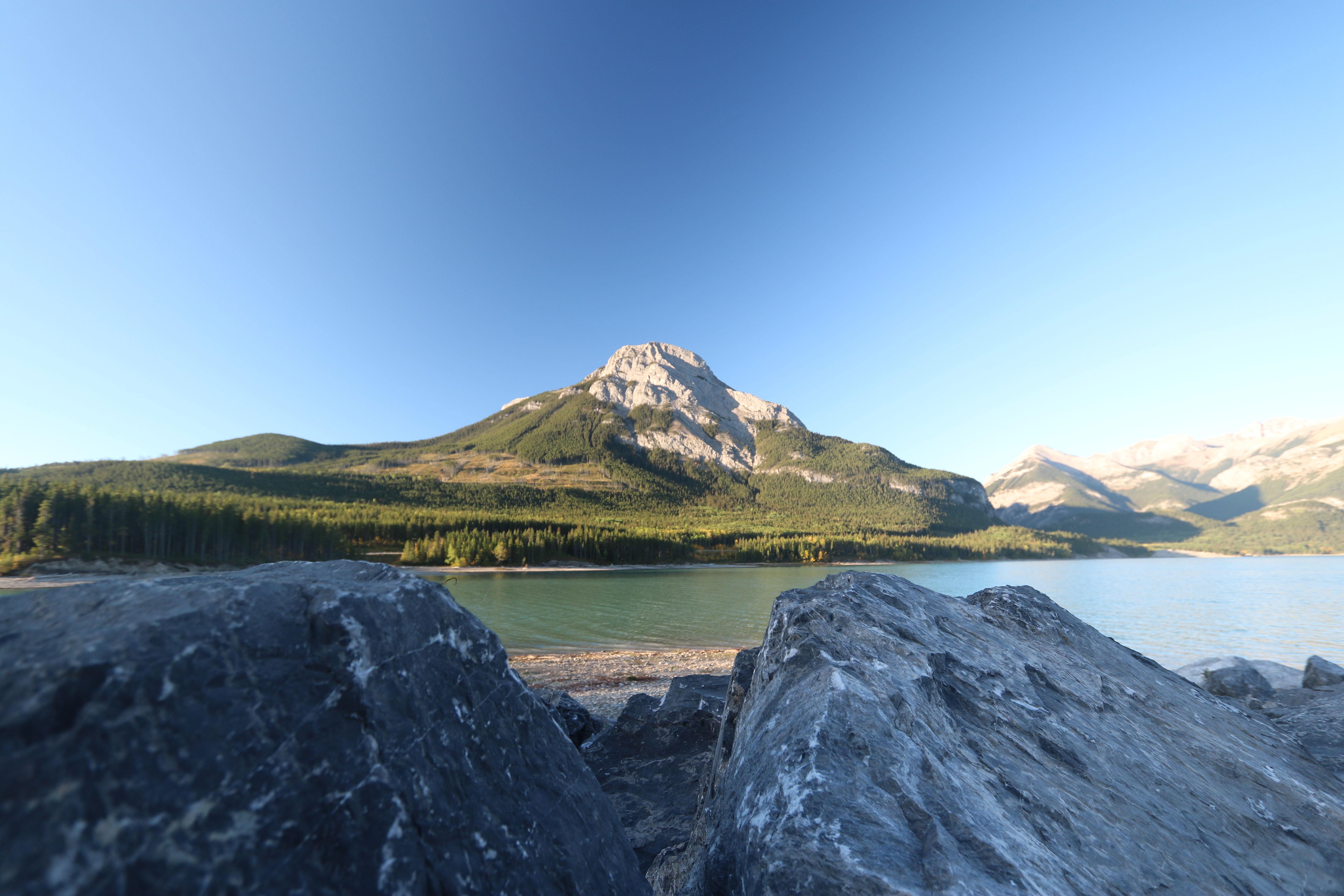
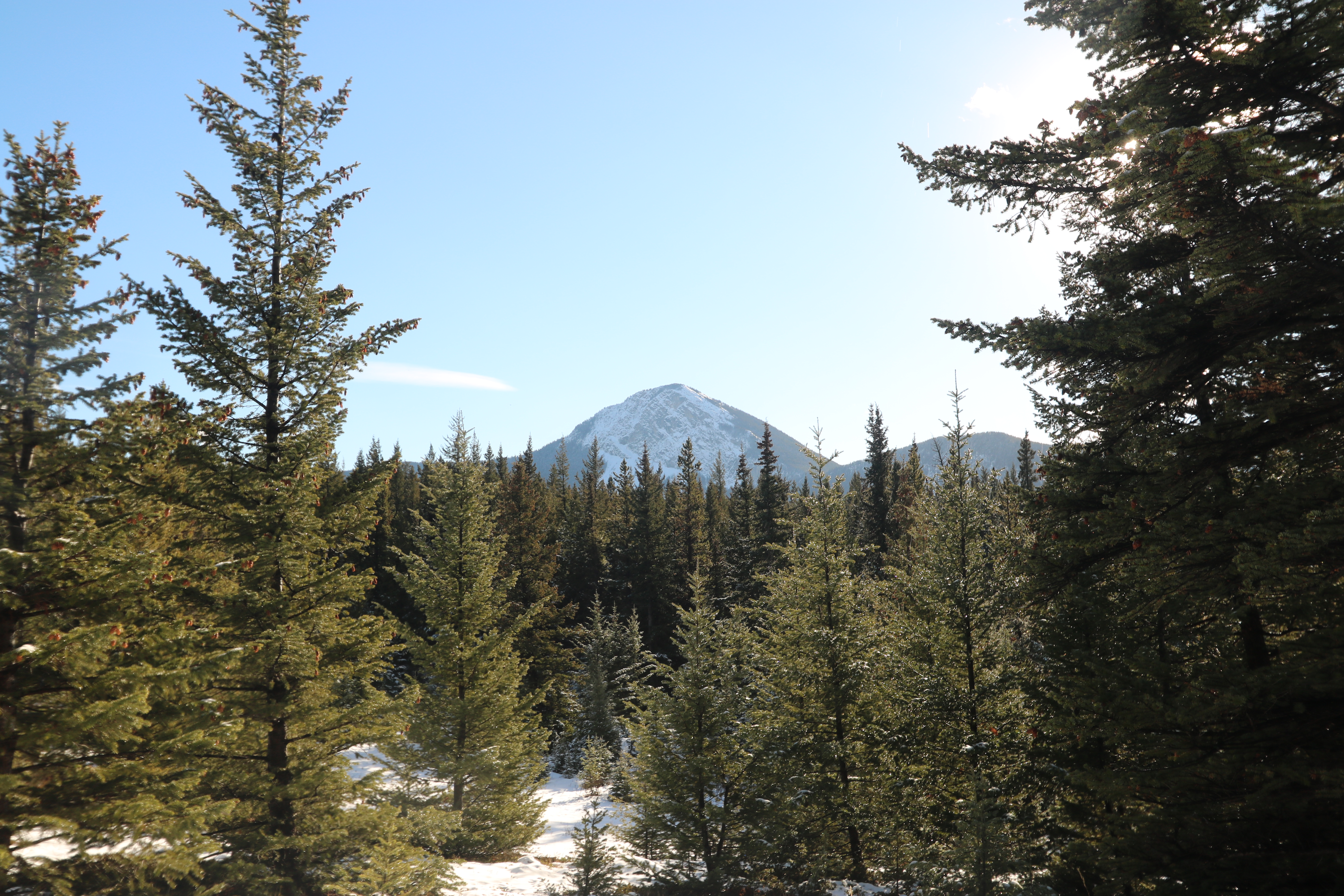
Barrier lake Prairie view trail hike sept 12th 2015
Merry Christmas!
The point of view (on Explore the 17.07.2012)

Bridge over Kananaskis River, Canada
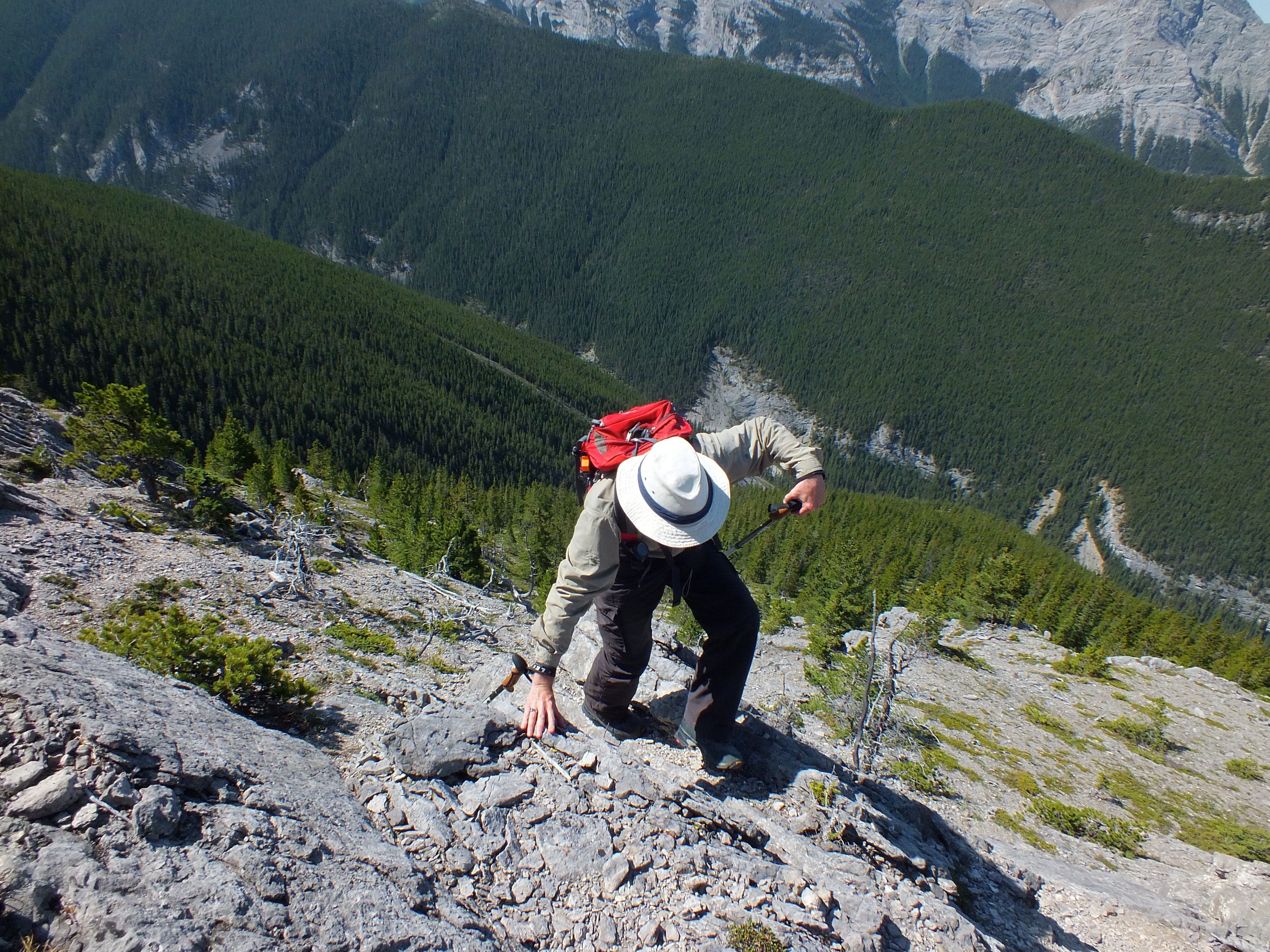
365-196 Why people don't come hiking with us...
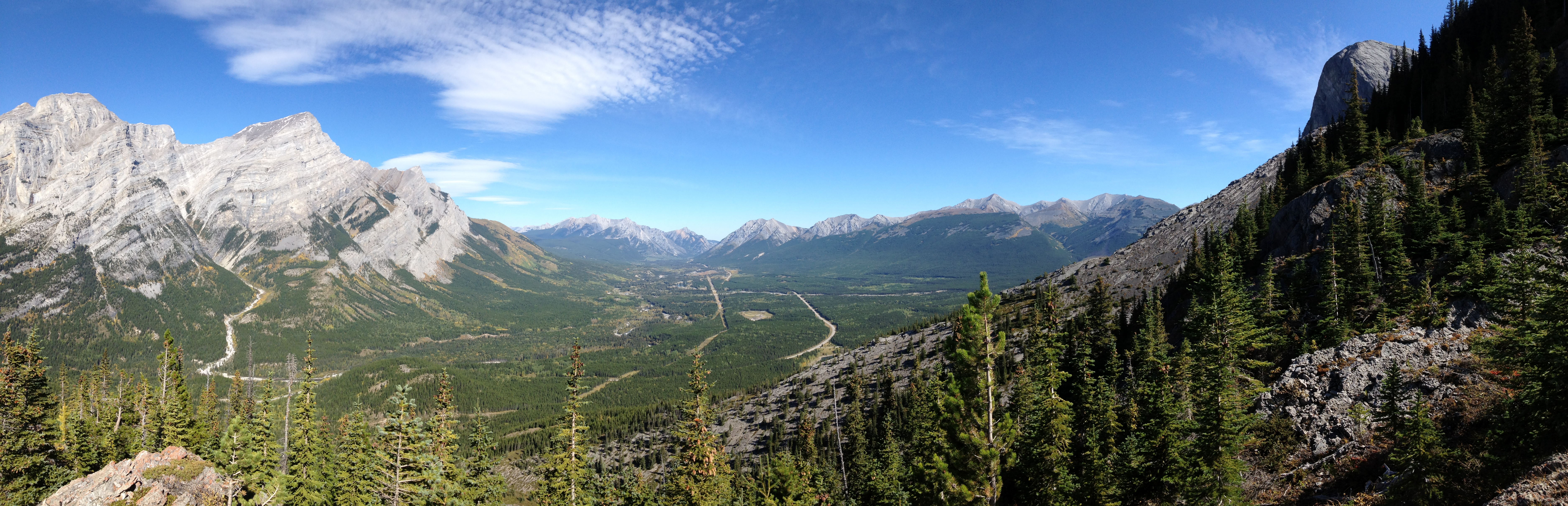
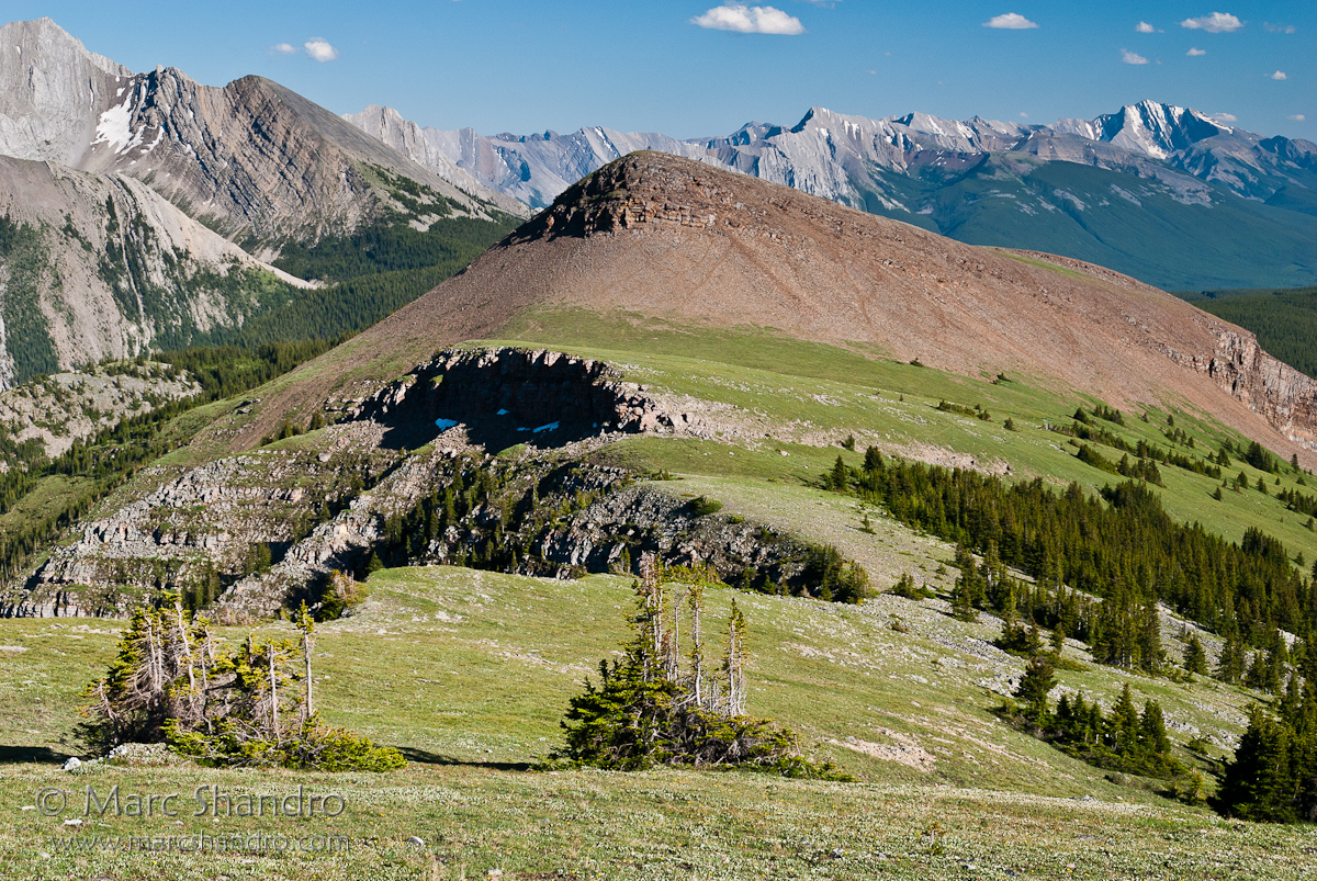
365-235 Limestone Mountain Scramble - Mid-mountain pano

Lofty dreams
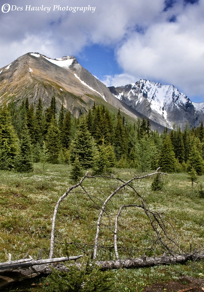
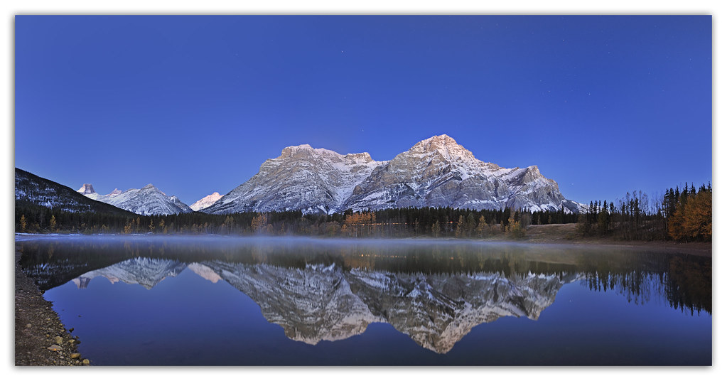
TWIN BEAUTIES
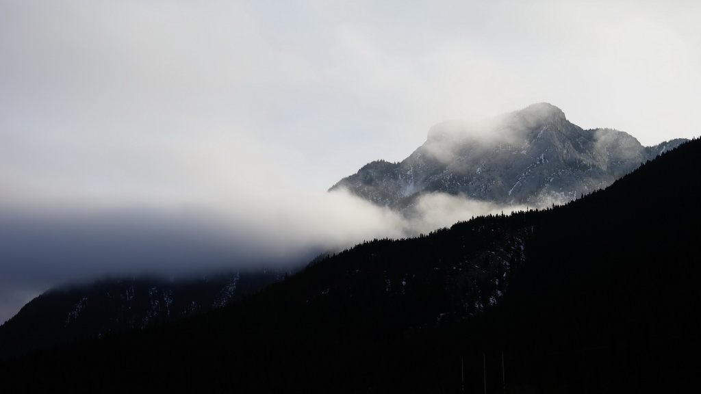
Morning Sun - Banff National Park
Stroll On The Ridge
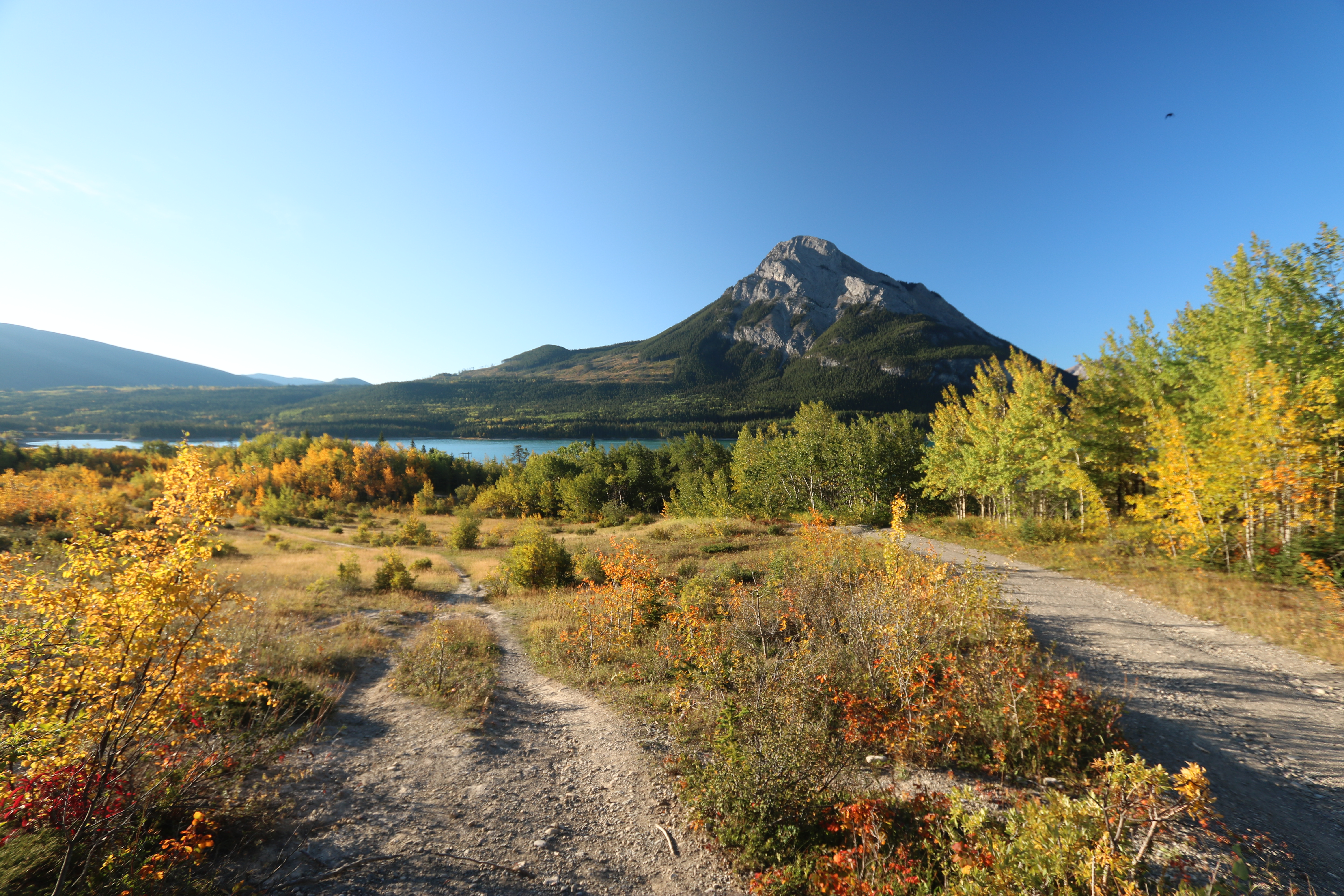
Barrier lake Prairie view trail hike sept 12th 2015
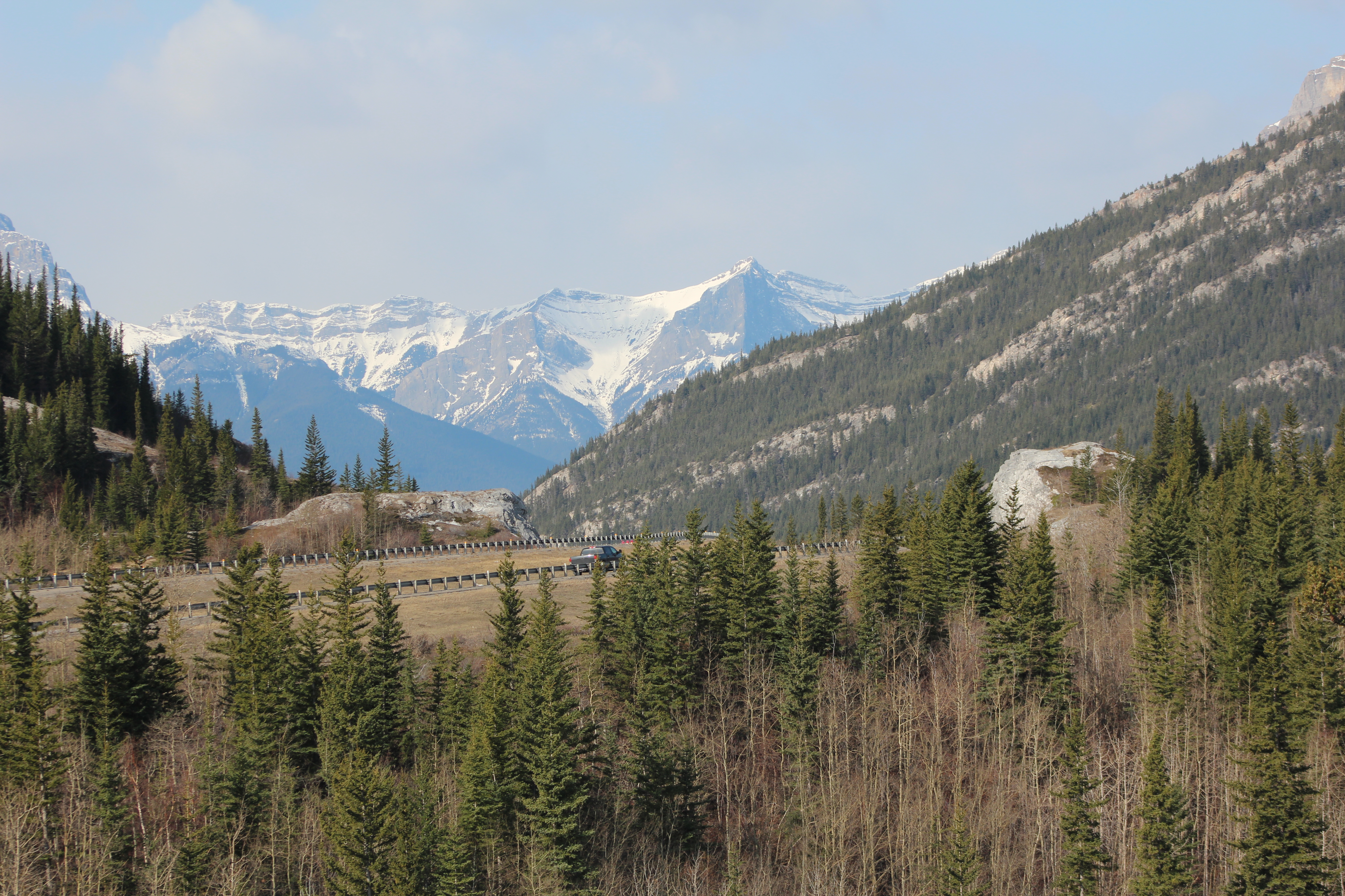
Heading cross country to the rock with a view, I can see it there on the right but there is quite the drop between me and my goal.
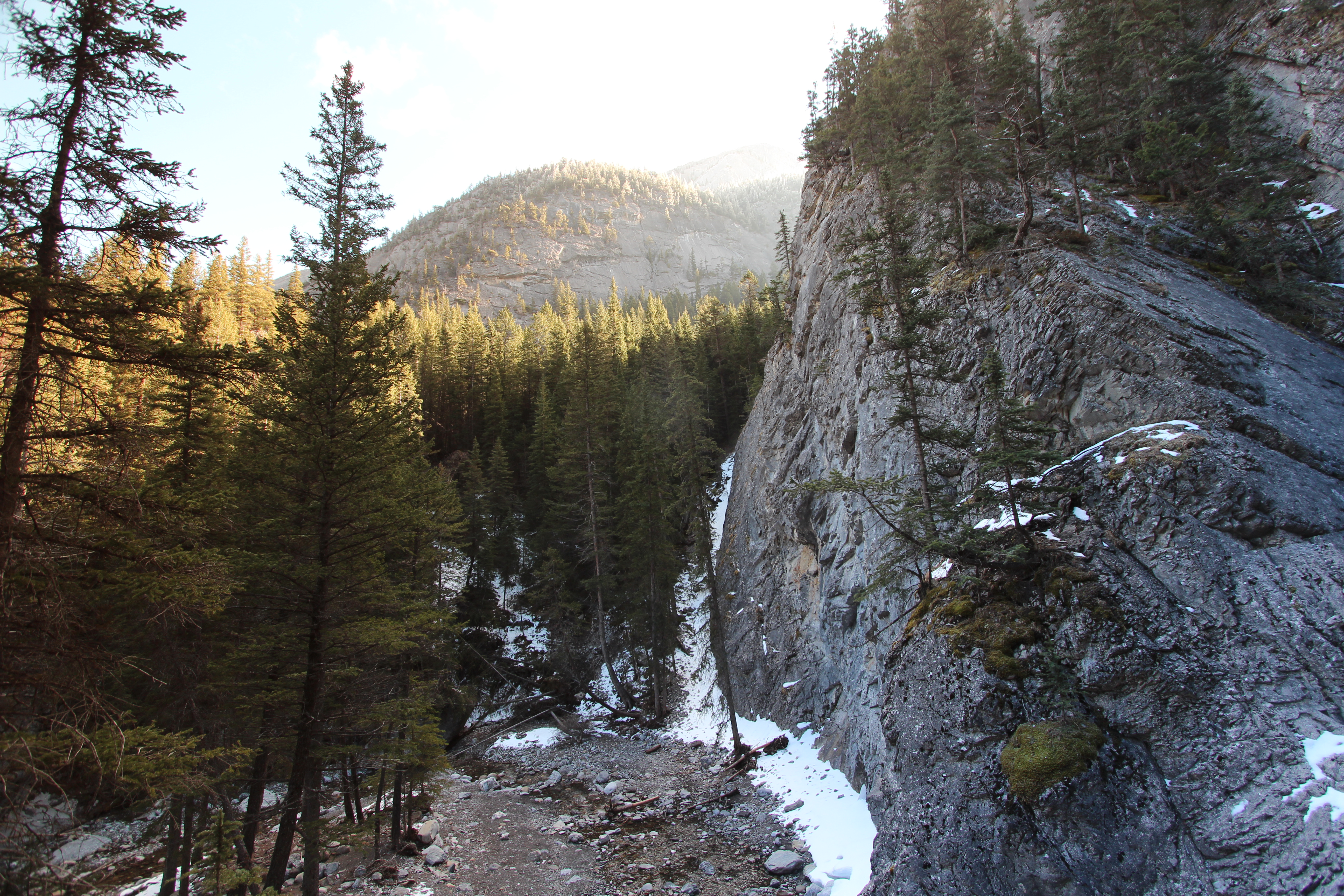
Heart creek trail trying to get up the rocks to see if I can get a view of the waterfall, sadly it's just out of reach round the corner
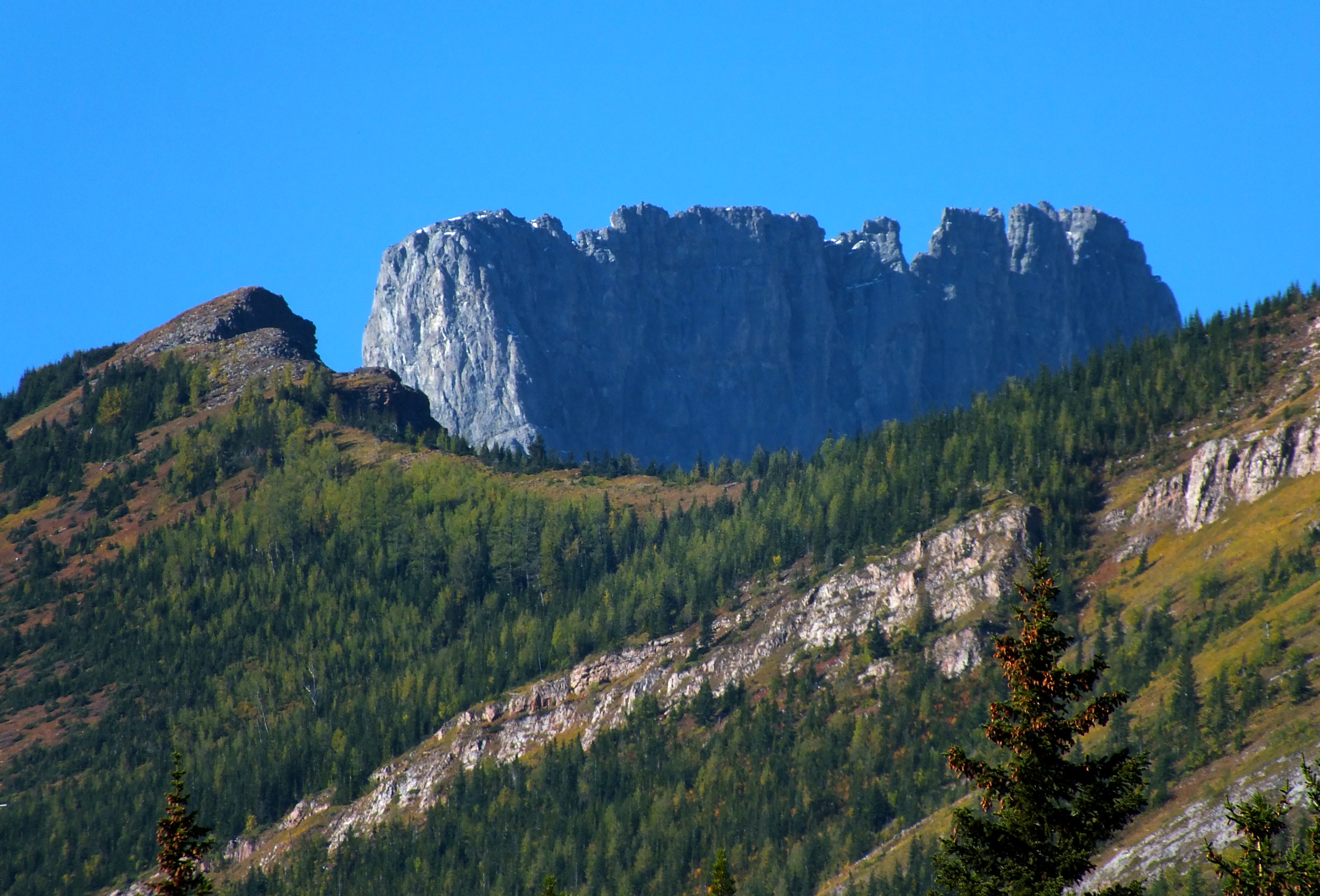
Limestone Mountain Scramble - View of Fortress Ridge in foreground and Fortress Mountain in the background
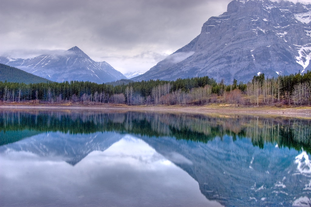
Wedge Pond

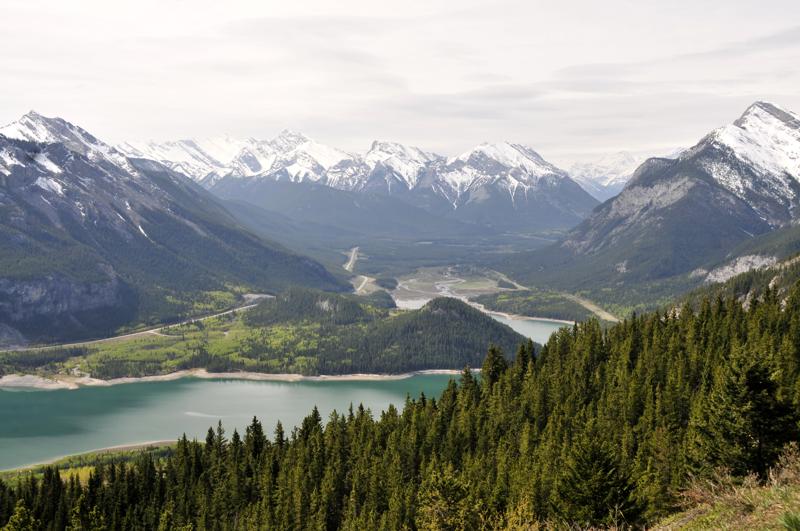
View from Mt. Allen

Kananaskis Sky
Bow valley park on a sunny day.
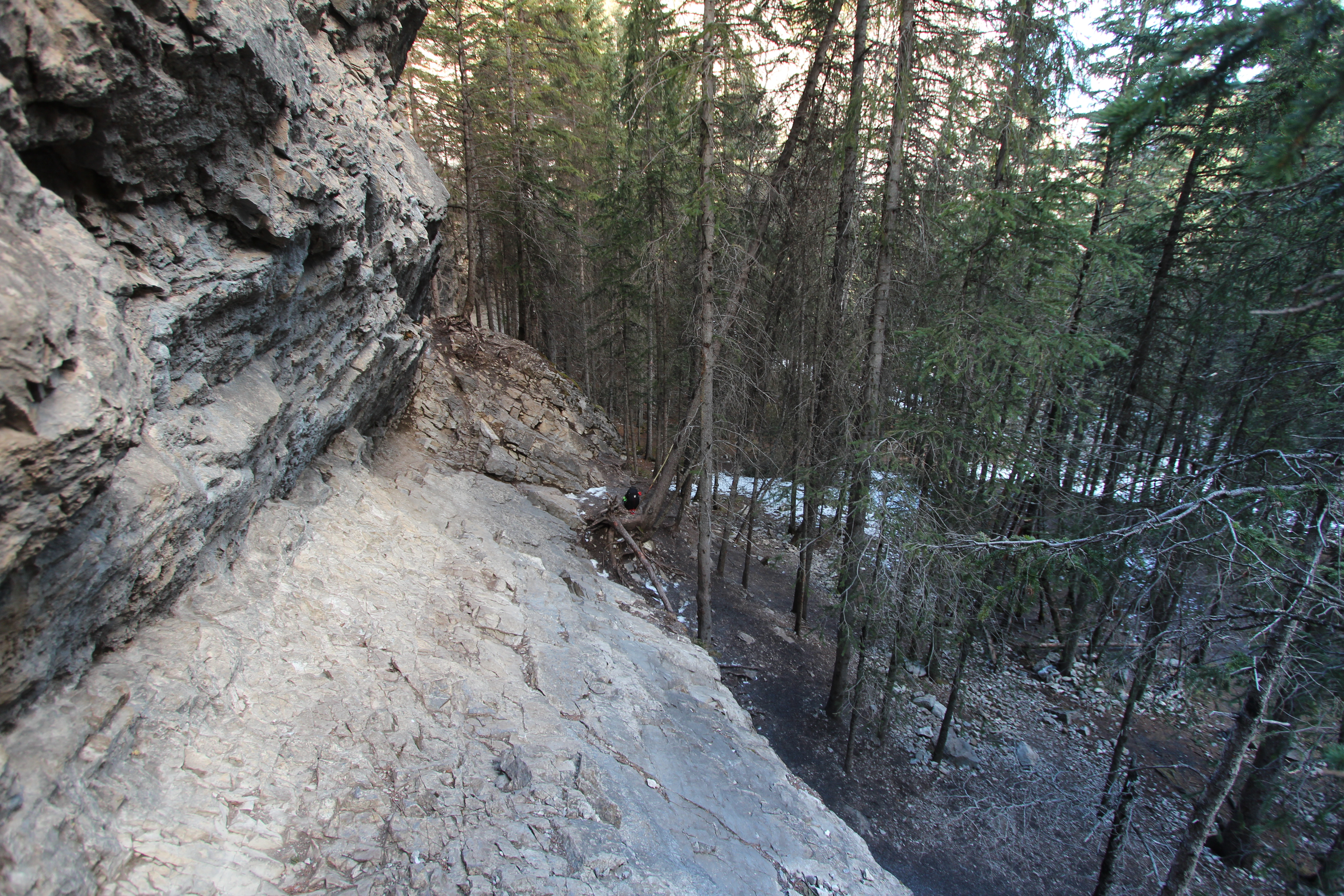
Heart creek trail trying to get up the rocks to see if I can get a view of the waterfall, sadly it's just out of reach round the corner

Heart creek trail Hike
Topographic Map of Midnight Peak, Kananaskis, AB T0L, Canada
Find elevation by address:

Places near Midnight Peak, Kananaskis, AB T0L, Canada:
Bryant N4
Wasootch Peak
Bryant Nw2
Mcdougall Nw2
Mount Bryant
Mount Mcdougall
Kananaskis Village Helistop Heliport
1 Centennial Dr
Kananaskis Village Ctr
Delta Hotels By Marriott Kananaskis Lodge
1 Centennial Dr
1 Centennial Dr
Mount Howard
Kananaskis Country Golf Course
Mount Kidd Drive
Fisher Peak
The Wedge
Mount Fullerton
Mount Collembola
Mount Allan
Recent Searches:
- Elevation of Corso Fratelli Cairoli, 35, Macerata MC, Italy
- Elevation of Tallevast Rd, Sarasota, FL, USA
- Elevation of 4th St E, Sonoma, CA, USA
- Elevation of Black Hollow Rd, Pennsdale, PA, USA
- Elevation of Oakland Ave, Williamsport, PA, USA
- Elevation of Pedrógão Grande, Portugal
- Elevation of Klee Dr, Martinsburg, WV, USA
- Elevation of Via Roma, Pieranica CR, Italy
- Elevation of Tavkvetili Mountain, Georgia
- Elevation of Hartfords Bluff Cir, Mt Pleasant, SC, USA