Elevation of Moultrie Rd, Barney, GA, USA
Location: United States > Georgia > Brooks County > Barney >
Longitude: -83.574746
Latitude: 30.998754
Elevation: 74m / 243feet
Barometric Pressure: 100KPa
Elevation Map:
Satellite Map:
Related Photos:
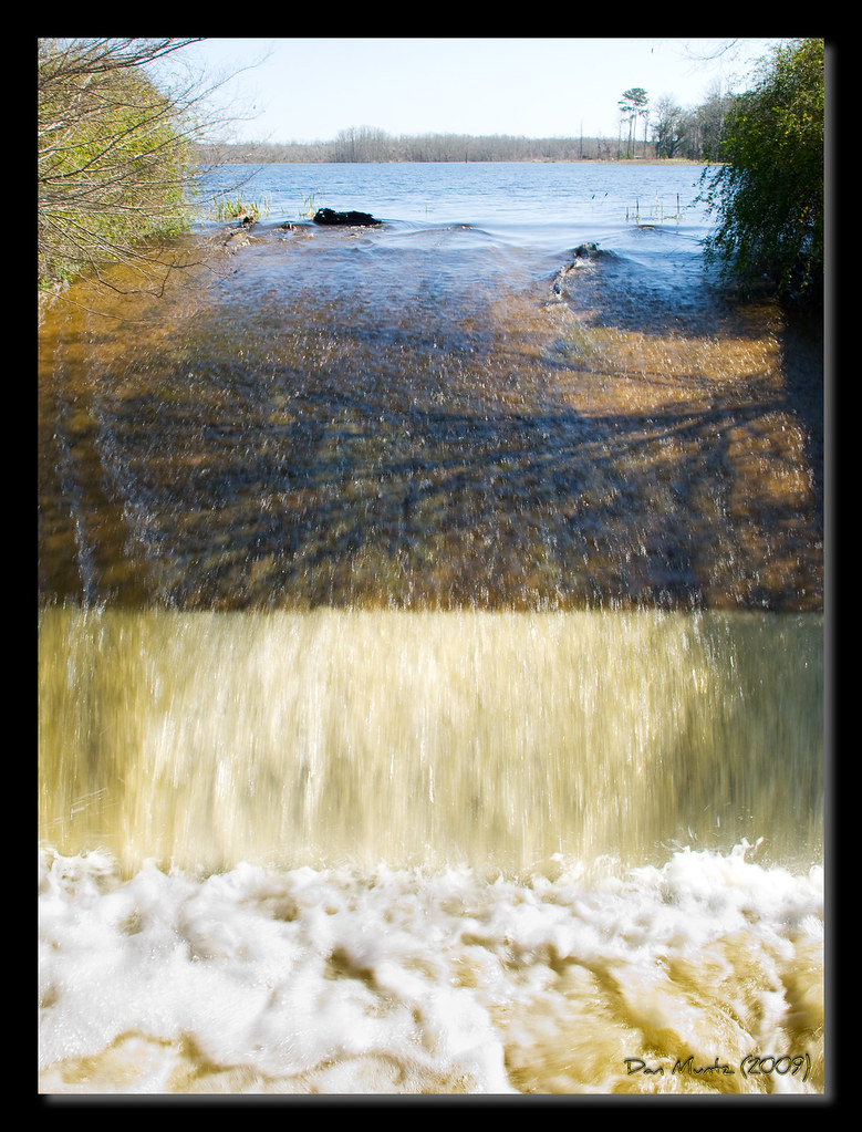
Lake Dam

Lake Dam

Lake Dam

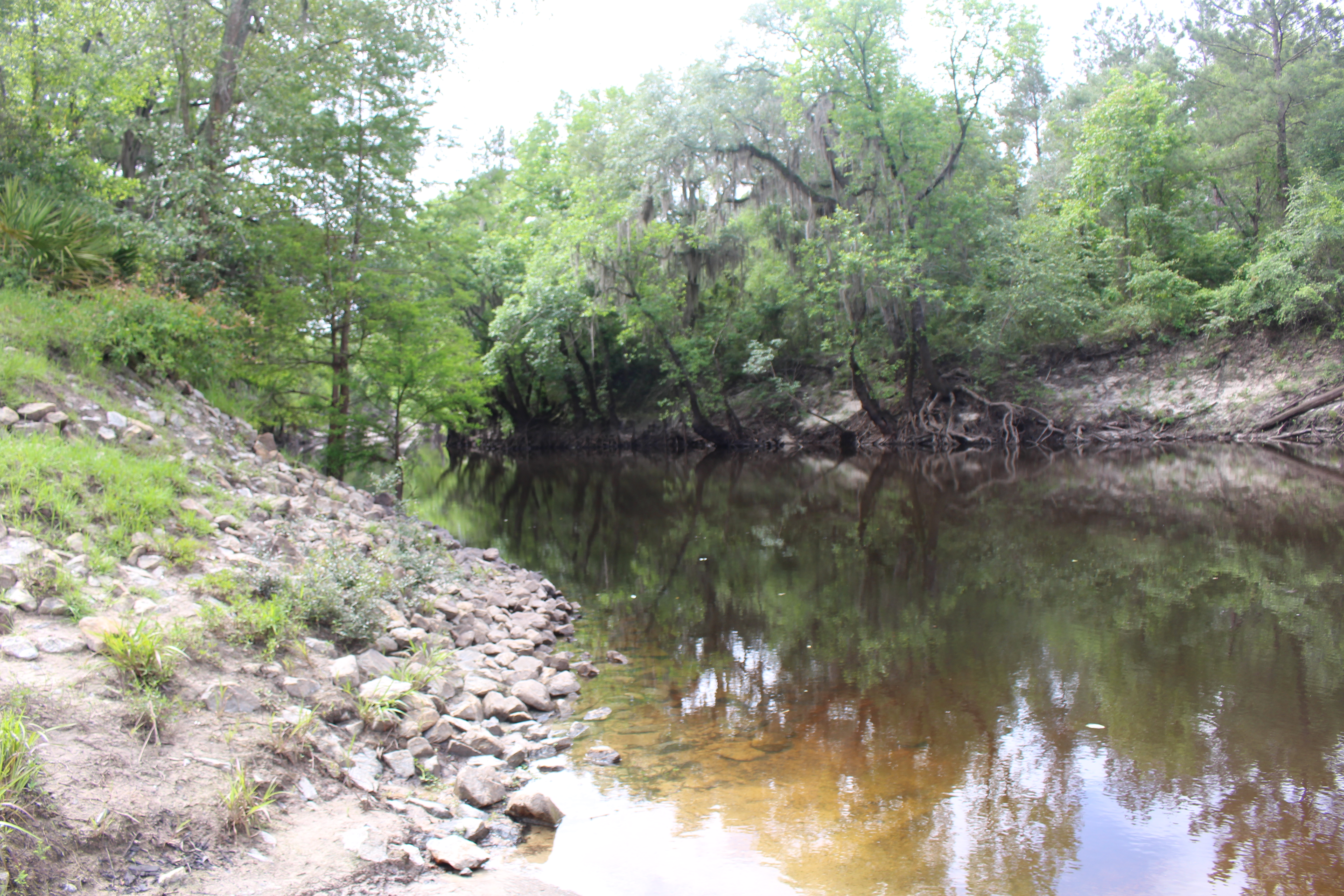
Okapilco Creek - Hempstead Church Rd. (Brooks Co.)

Okapilco Creek - Hempstead Church Rd. (Brooks Co.)

Okapilco Creek - Hempstead Church Rd. (Brooks Co.)

Old Bethel Church (Brooks County)

Okapilco Creek - Hempstead Church Rd. (Brooks Co.)

Okapilco Creek - Hempstead Church Rd. (Brooks Co.)
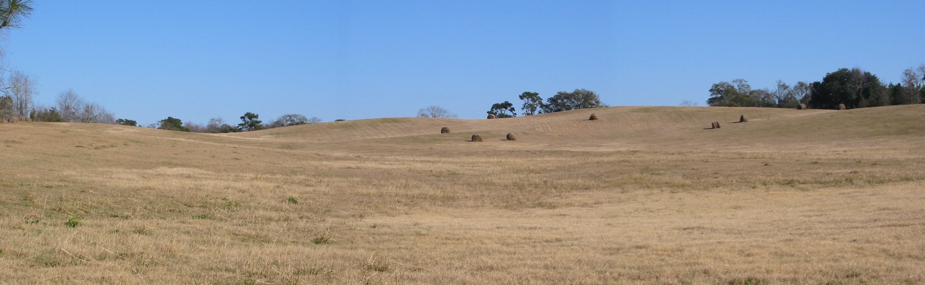
The Knoll
Little River flowing south from SR76 boat ramp
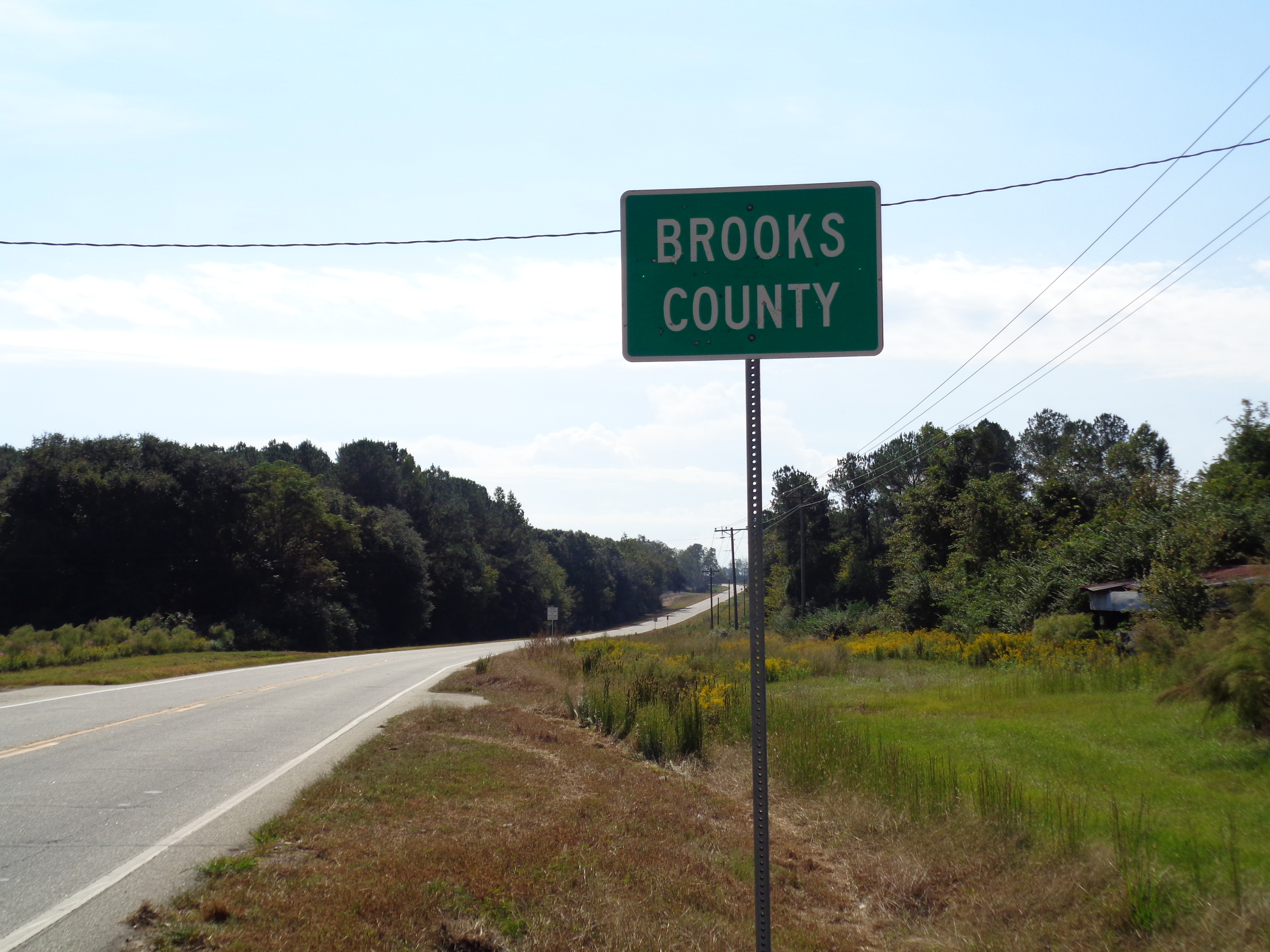
Brooks County limit, GA133SB
Topographic Map of Moultrie Rd, Barney, GA, USA
Find elevation by address:

Places near Moultrie Rd, Barney, GA, USA:
Barney
Co Rd, Pavo, GA, USA
Langford St, Moultrie, GA, USA
1st St, Morven, GA, USA
Morven
Antioch Greggs Rd, Adel, GA, USA
928 Walden Rd
1137 Walden Rd
Lone Church Rd, Pavo, GA, USA
Reed Bingham Road
Reed Bingham State Park
Pavo
2082 S Roberts St
Cook County
Hahira
11655 Salem Rd
N Hutchinson Ave, Adel, GA, USA
Adel
608 S Forrest Ave
144 Bull Creek Rd
Recent Searches:
- Elevation of Corso Fratelli Cairoli, 35, Macerata MC, Italy
- Elevation of Tallevast Rd, Sarasota, FL, USA
- Elevation of 4th St E, Sonoma, CA, USA
- Elevation of Black Hollow Rd, Pennsdale, PA, USA
- Elevation of Oakland Ave, Williamsport, PA, USA
- Elevation of Pedrógão Grande, Portugal
- Elevation of Klee Dr, Martinsburg, WV, USA
- Elevation of Via Roma, Pieranica CR, Italy
- Elevation of Tavkvetili Mountain, Georgia
- Elevation of Hartfords Bluff Cir, Mt Pleasant, SC, USA