Elevation of Co Rd, Pavo, GA, USA
Location: United States > Georgia > Thomas County > Pavo >
Longitude: -83.650313
Latitude: 30.9651811
Elevation: 60m / 197feet
Barometric Pressure: 101KPa
Elevation Map:
Satellite Map:
Related Photos:
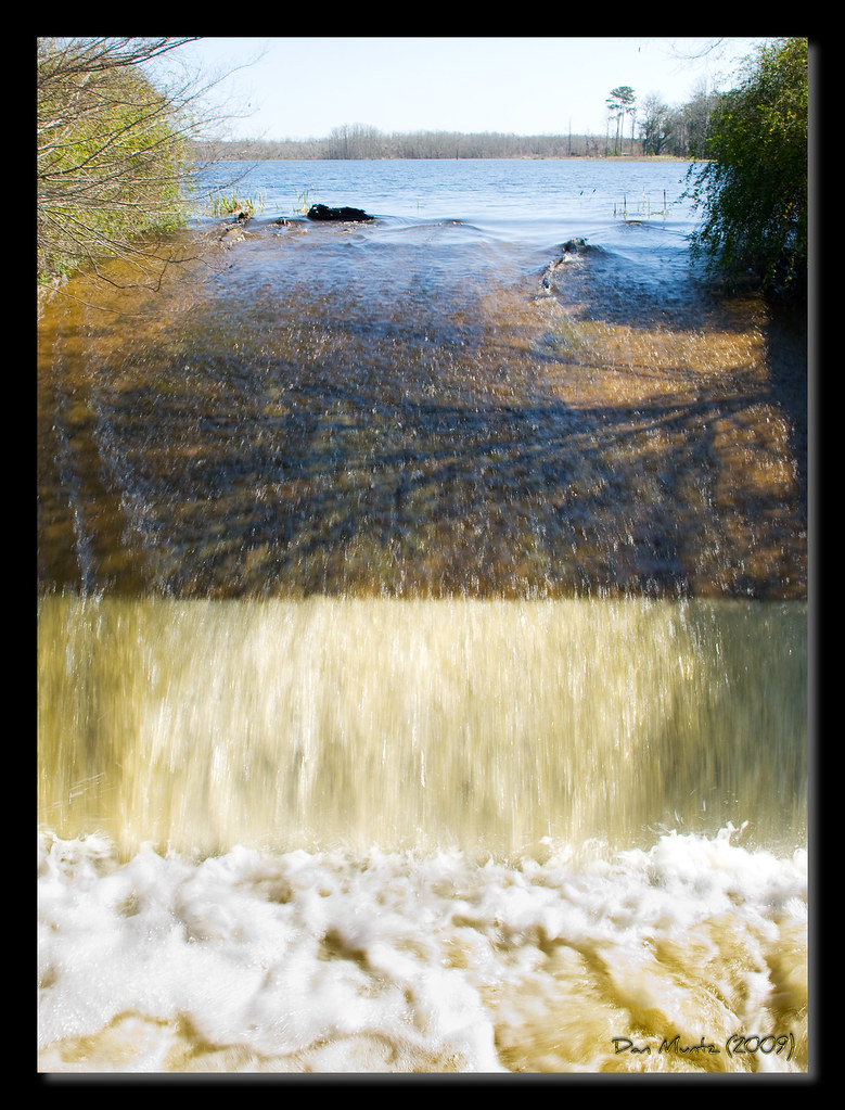
Lake Dam

Lake Dam

Lake Dam
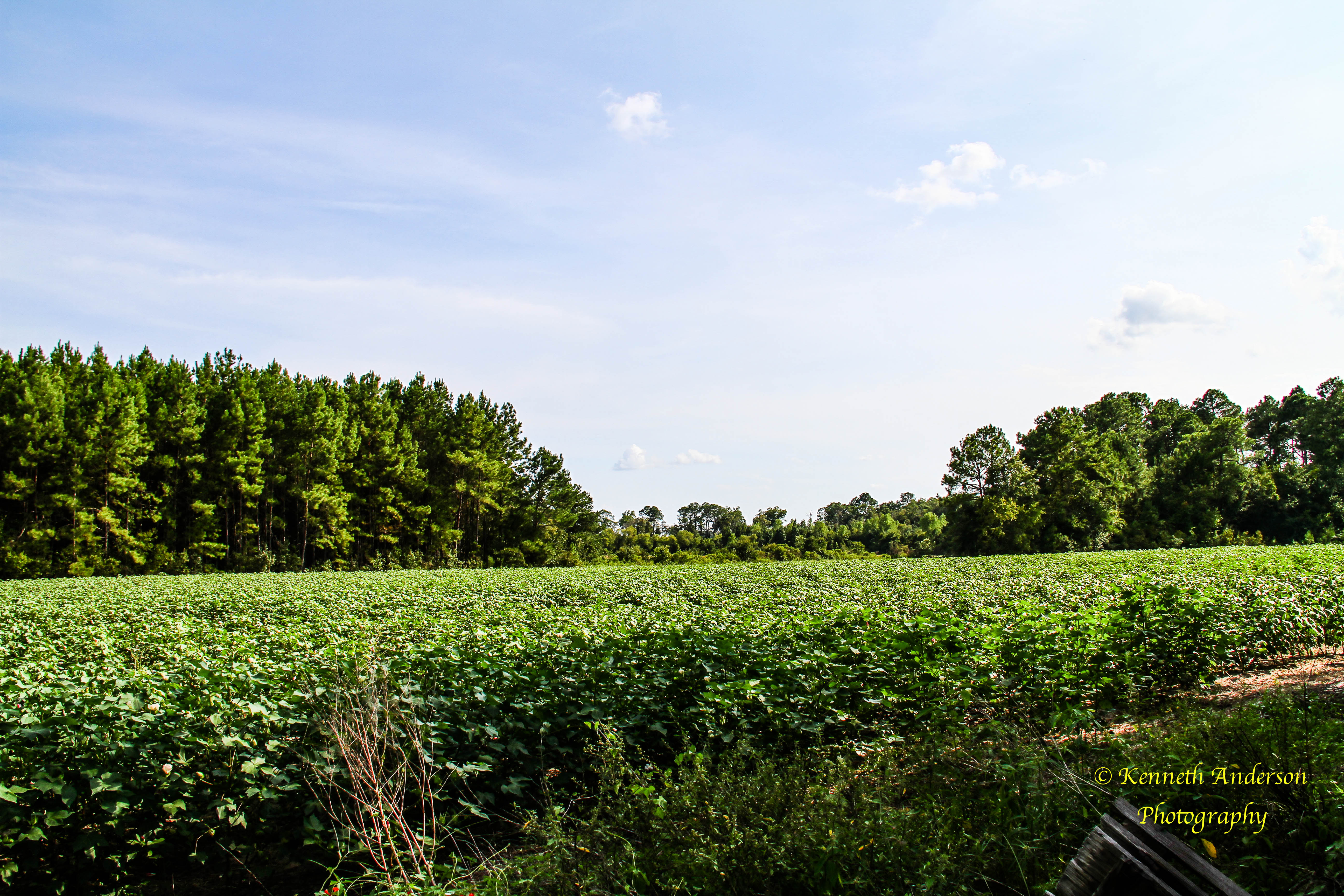
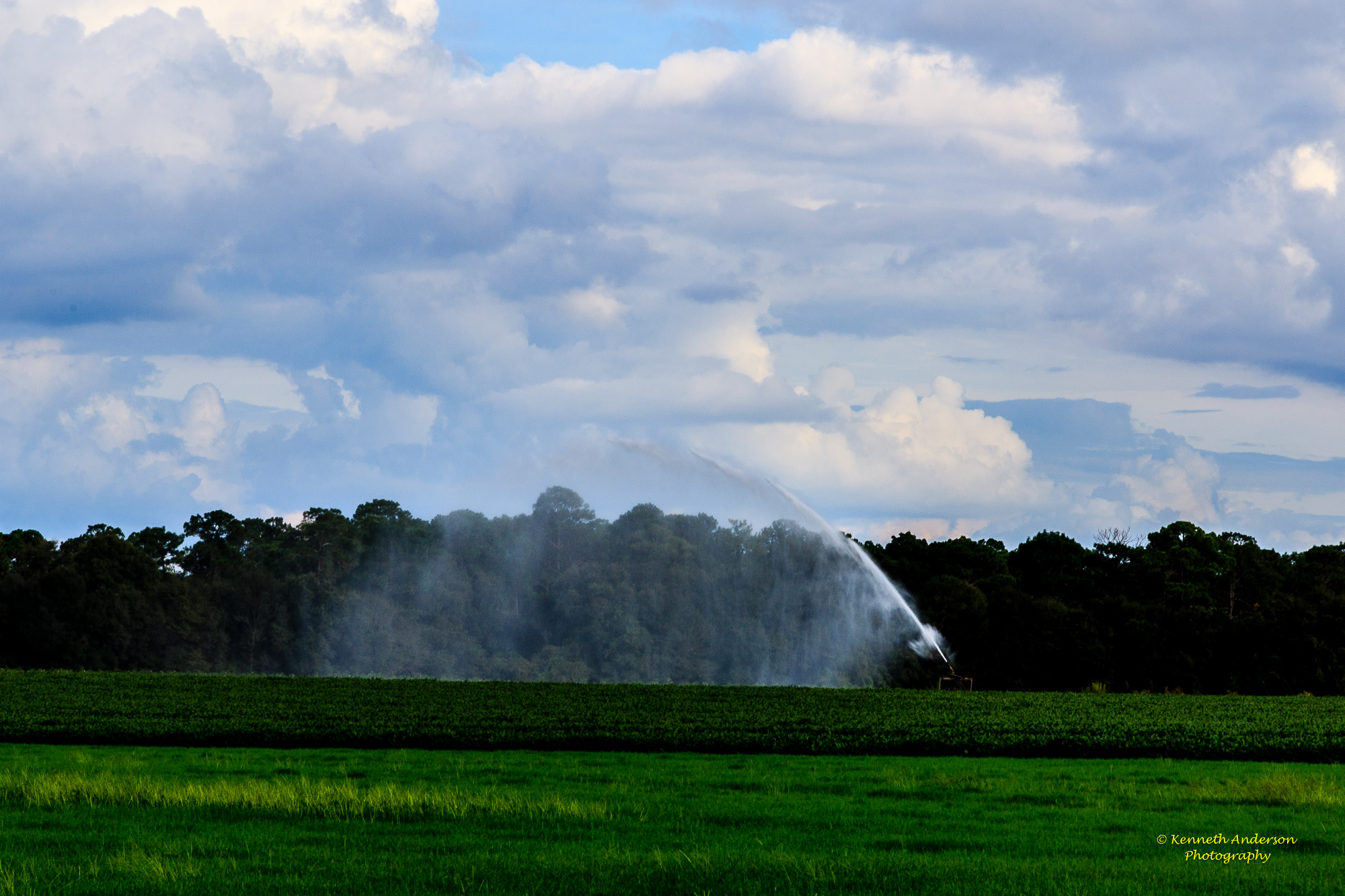
View of South Field of Cotton From Ridge

IMG_4710.jpg

IMG_4711.jpg

IMG_4719.jpg
IMG_4724.jpg

IMG_4718.jpg

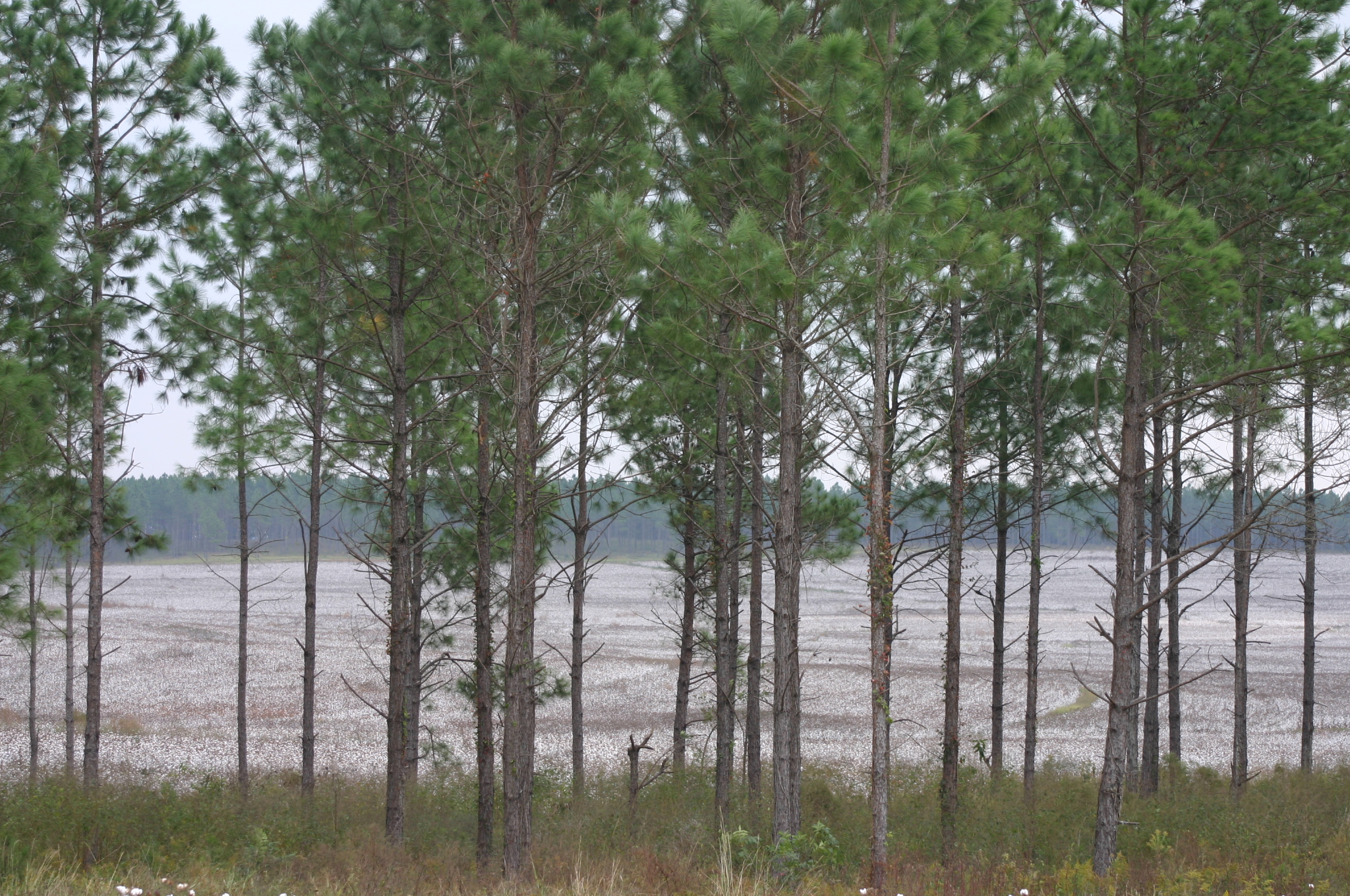
Thomas County-3.jpg

Okapilco Creek - Hempstead Church Rd. (Brooks Co.)

Okapilco Creek - Hempstead Church Rd. (Brooks Co.)

Old Bethel Church (Brooks County)

Okapilco Creek - Hempstead Church Rd. (Brooks Co.)

Okapilco Creek - Hempstead Church Rd. (Brooks Co.)

IMG_4730.jpg
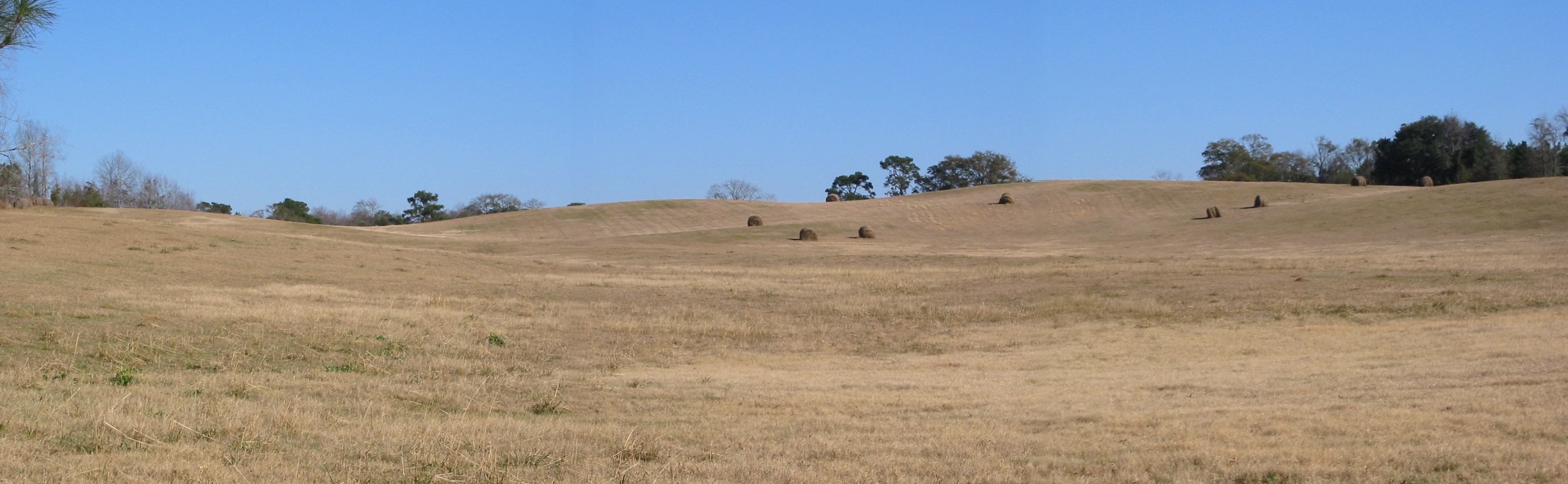
The Knoll

Thomasville Countryside-2

Thomas County Countryside-18.jpg

Thomas County Countryside-19.jpg
Thomas County Countryside-20.jpg

Thomas County Countryside-16.jpg

Thomas County Countryside-27.jpg

Thomas County Countryside-26.jpg

Thomas County Countryside-8.jpg
Topographic Map of Co Rd, Pavo, GA, USA
Find elevation by address:

Places near Co Rd, Pavo, GA, USA:
Moultrie Rd, Barney, GA, USA
Pavo
2082 S Roberts St
928 Walden Rd
Lone Church Rd, Pavo, GA, USA
1137 Walden Rd
Langford St, Moultrie, GA, USA
11655 Salem Rd
Barney
1st St, Morven, GA, USA
Morven
144 Bull Creek Rd
Antioch Greggs Rd, Adel, GA, USA
Gene McQueen Rd, Moultrie, GA, USA
US-, Moultrie, GA, USA
Murphy
418 Dorminey Rd
Shade Murphy Road
N Pine St, Coolidge, GA, USA
Coolidge
Recent Searches:
- Elevation of Corso Fratelli Cairoli, 35, Macerata MC, Italy
- Elevation of Tallevast Rd, Sarasota, FL, USA
- Elevation of 4th St E, Sonoma, CA, USA
- Elevation of Black Hollow Rd, Pennsdale, PA, USA
- Elevation of Oakland Ave, Williamsport, PA, USA
- Elevation of Pedrógão Grande, Portugal
- Elevation of Klee Dr, Martinsburg, WV, USA
- Elevation of Via Roma, Pieranica CR, Italy
- Elevation of Tavkvetili Mountain, Georgia
- Elevation of Hartfords Bluff Cir, Mt Pleasant, SC, USA