Elevation of Morehead St, Chadron, NE, USA
| Latitude | 42.8287452 |
|---|---|
| Longitude | -103.0033378 |
| Elevation | 1031m / 3383feet |
| Barometric Pressure | 895KPa |
Related Photos:

Museum of the Fur Trade, Chadron (Neb.), 19 July 2010

Museum of the Fur Trade, Chadron (Neb.), 19 July 2010
Museum of the Fur Trade, Chadron (Neb.), 19 July 2010
tree canyon
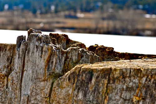
frozen lake appears as sky
Blue Steel took a picture!
Blue Steel took a picture!
Blue Steel took a picture!
Blue Steel took a picture!
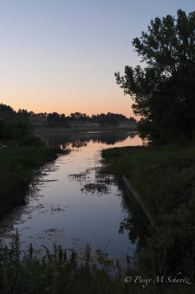
Pond Reflection
Blue Steel took a picture!

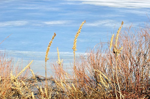
nature glow
Blue Steel took a picture!
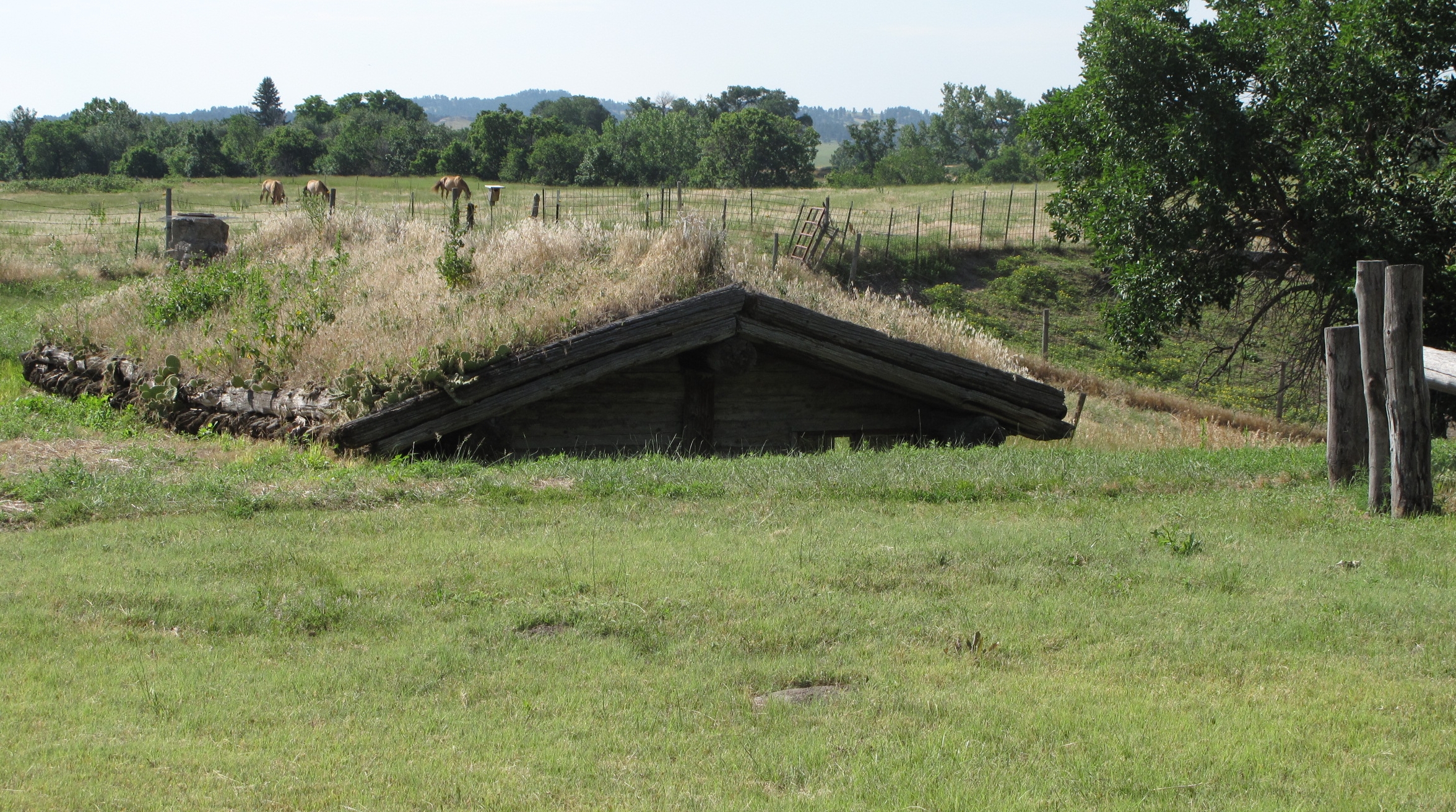
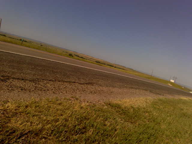
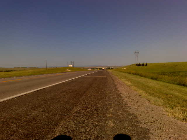
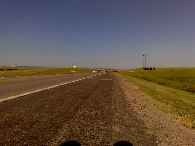
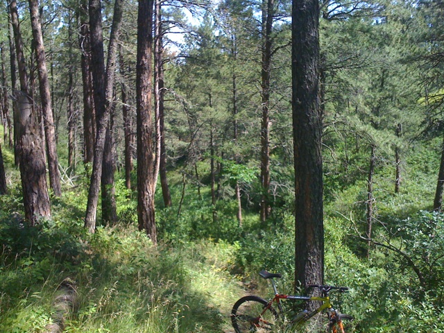
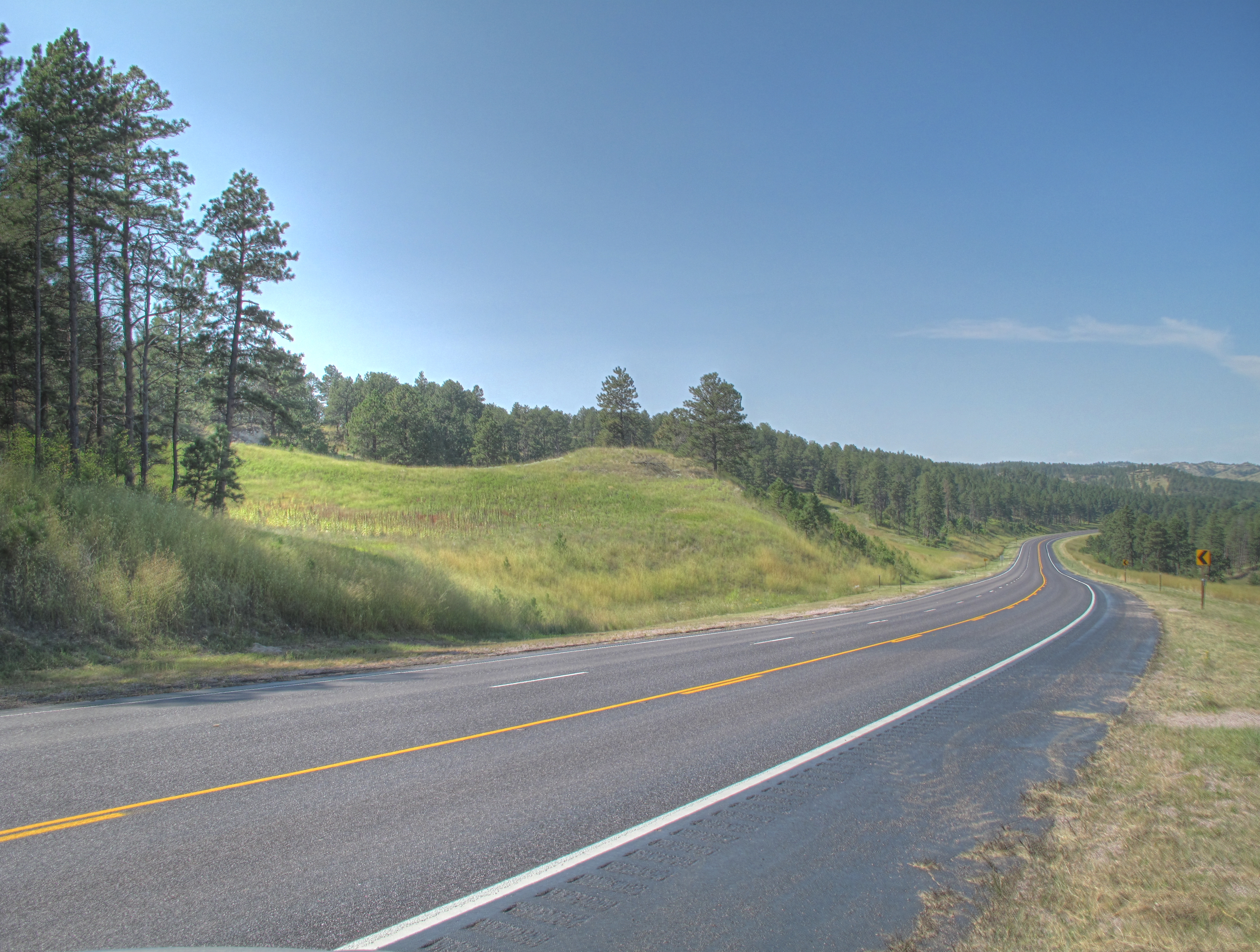
Pine Ridge Region Near Chadron, Nebraska
Blue Steel took a picture!

IMG_1463_4_5Enhancer.jpg
Last Ride
IMG_1460_1_2Enhancer.jpg
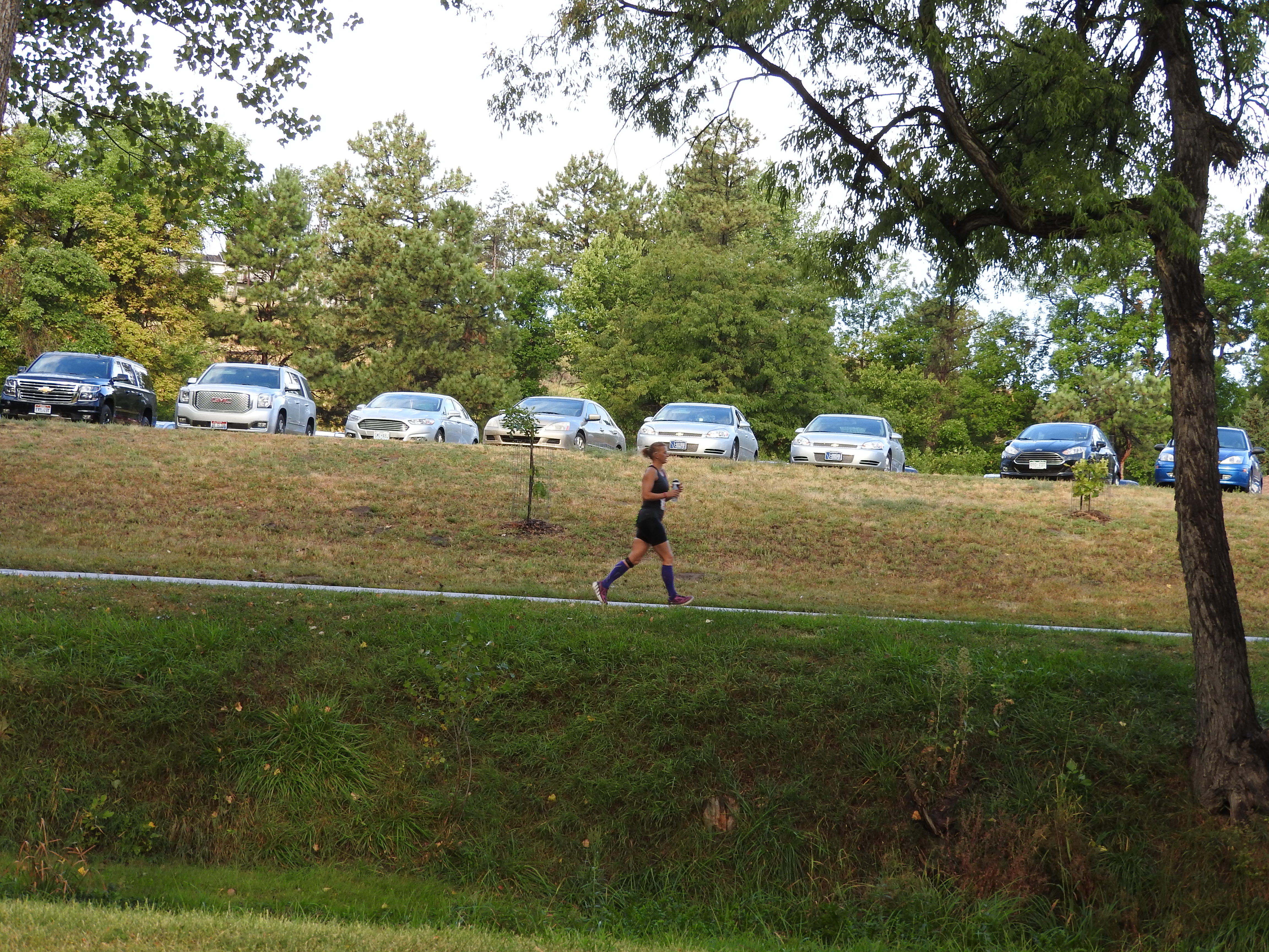
Center of the Nation Marathon Series - Day 5
Center of the Nation Marathon Series - Day 5
Center of the Nation Marathon Series - Day 5
Topographic Map of Morehead St, Chadron, NE, USA
Find elevation by address:
Places near Morehead St, Chadron, NE, USA:
Chadron
61 Country Club Rd
Chadron State Park
Nebraska National Forest
Dawes County
Hay Springs
N Main St, Hay Springs, NE, USA
Hay Springs
Prairie Wind Casino & Hotel
Buffalo Pasture Road
Crawford
Marsland
Fort Robinson Museum
Dorsey
Hemingford
444 Deadman Rd
Northeast Fall River
West Oglala Lakota
Toadstool Geological Park And Campground
Fall River County
Recent Searches:
- Elevation of Burnt Store Village, Charlotte County, Florida, 33955, USA
- Elevation of 26552, Angelica Road, Punta Gorda, Charlotte County, Florida, 33955, USA
- Elevation of 104, Chancery Road, Middletown Township, Bucks County, Pennsylvania, 19047, USA
- Elevation of 1212, Cypress Lane, Dayton, Liberty County, Texas, 77535, USA
- Elevation map of Central Hungary, Hungary
- Elevation map of Pest, Central Hungary, Hungary
- Elevation of Pilisszentkereszt, Pest, Central Hungary, Hungary
- Elevation of Dharamkot Tahsil, Punjab, India
- Elevation of Bhinder Khurd, Dharamkot Tahsil, Punjab, India
- Elevation of 2881, Chabot Drive, San Bruno, San Mateo County, California, 94066, USA
- Elevation of 10370, West 107th Circle, Westminster, Jefferson County, Colorado, 80021, USA
- Elevation of 611, Roman Road, Old Ford, Bow, London, England, E3 2RW, United Kingdom
- Elevation of 116, Beartown Road, Underhill, Chittenden County, Vermont, 05489, USA
- Elevation of Window Rock, Colfax County, New Mexico, 87714, USA
- Elevation of 4807, Rosecroft Street, Kempsville Gardens, Virginia Beach, Virginia, 23464, USA
- Elevation map of Matawinie, Quebec, Canada
- Elevation of Sainte-Émélie-de-l'Énergie, Matawinie, Quebec, Canada
- Elevation of Rue du Pont, Sainte-Émélie-de-l'Énergie, Matawinie, Quebec, J0K2K0, Canada
- Elevation of 8, Rue de Bécancour, Blainville, Thérèse-De Blainville, Quebec, J7B1N2, Canada
- Elevation of Wilmot Court North, 163, University Avenue West, Northdale, Waterloo, Region of Waterloo, Ontario, N2L6B6, Canada