Elevation of Dawes County, NE, USA
Location: United States > Nebraska >
Longitude: -103.08179
Latitude: 42.6551733
Elevation: 1306m / 4285feet
Barometric Pressure: 87KPa
Elevation Map:
Satellite Map:
Related Photos:
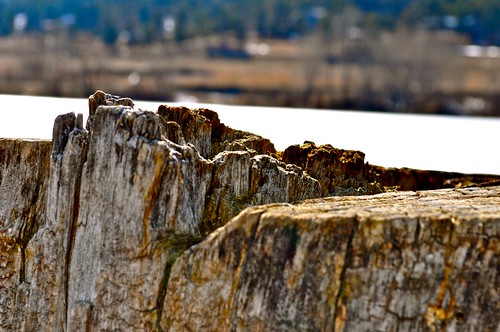
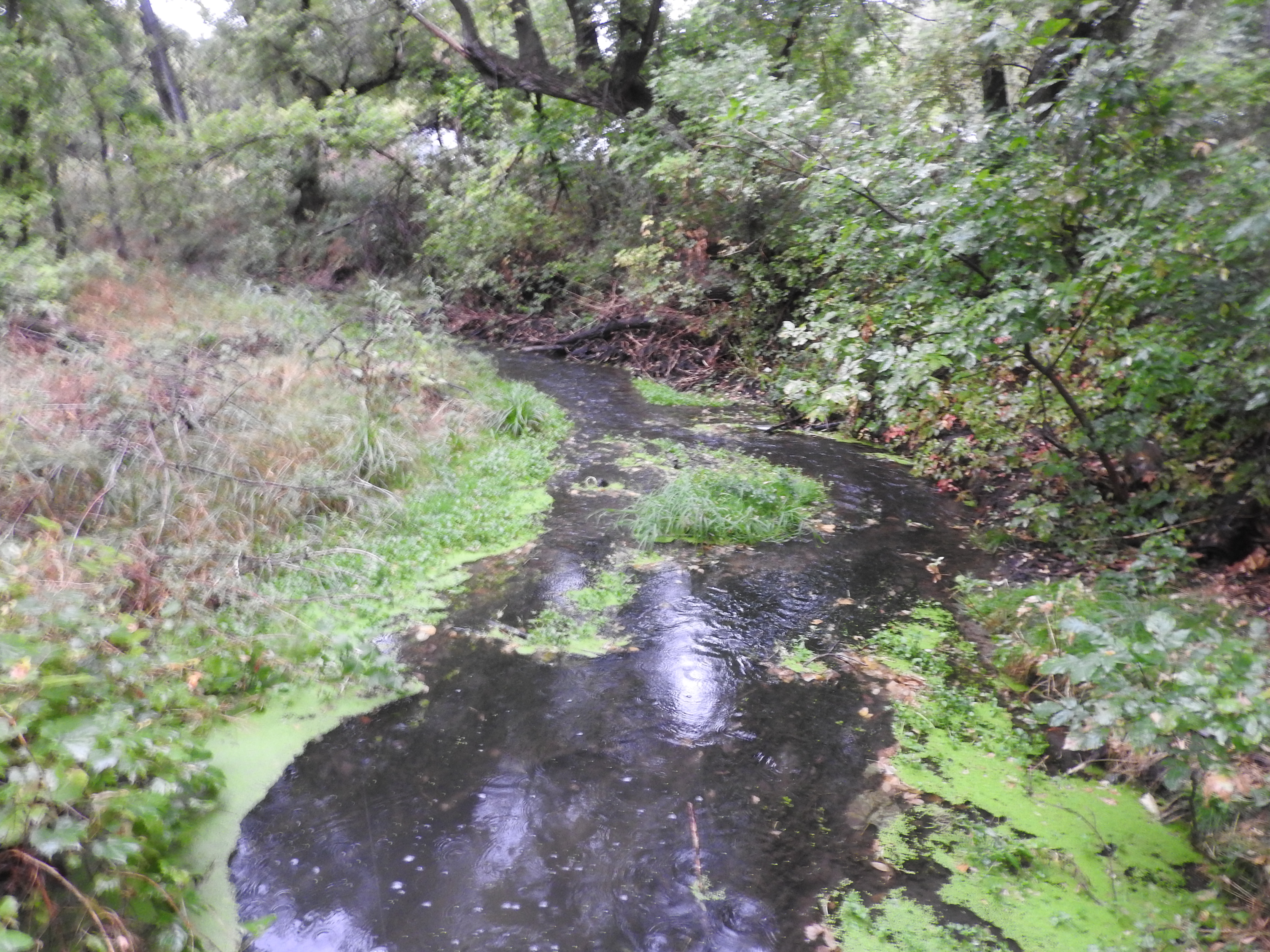
tree canyon
frozen lake appears as sky
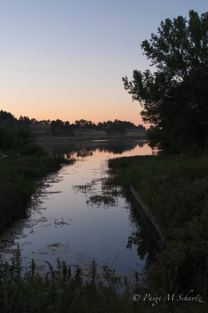
Pond Reflection
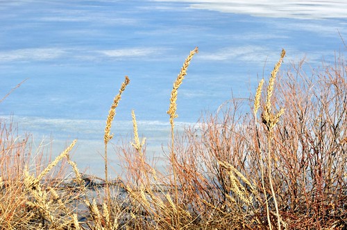
nature glow
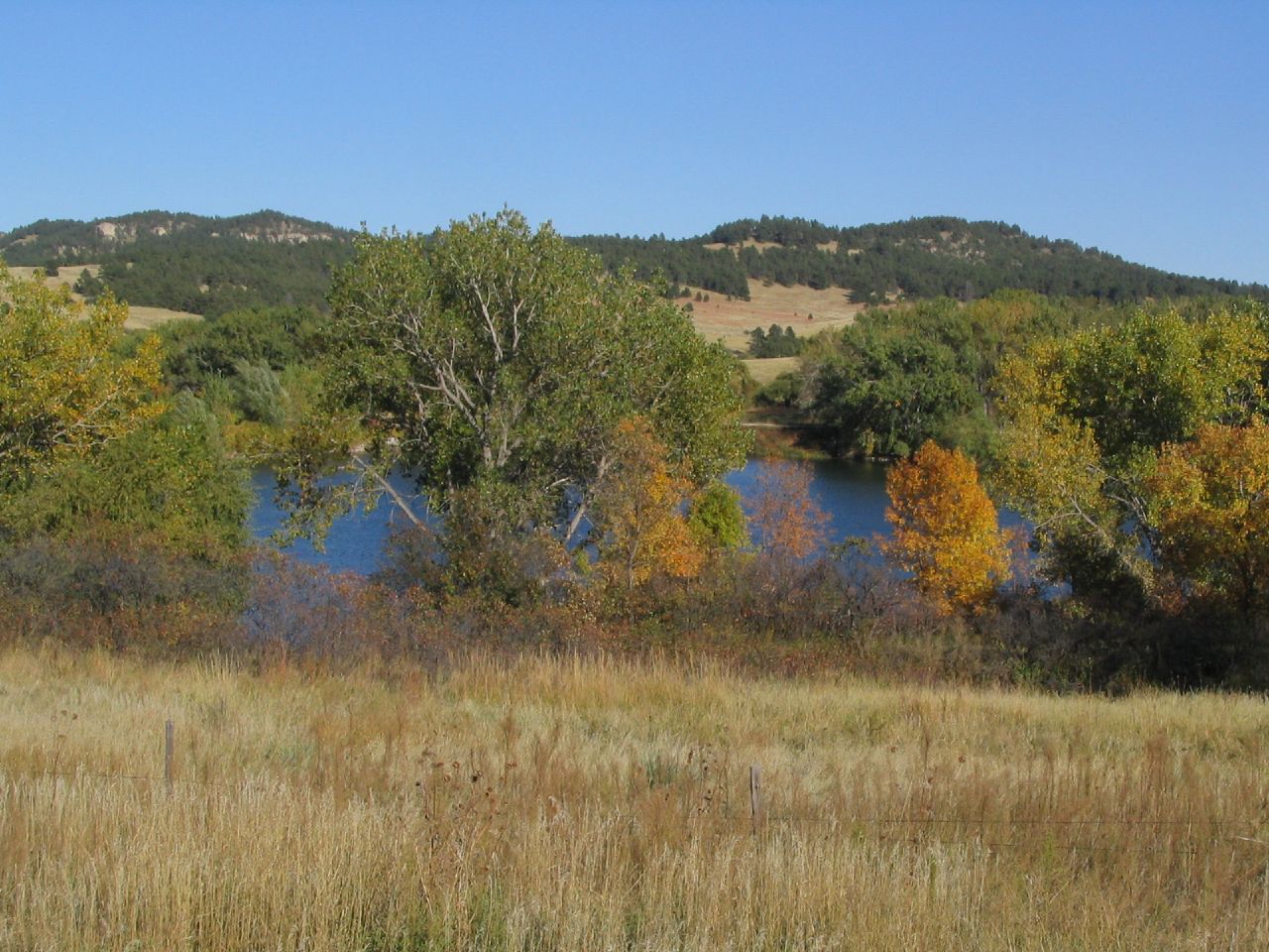
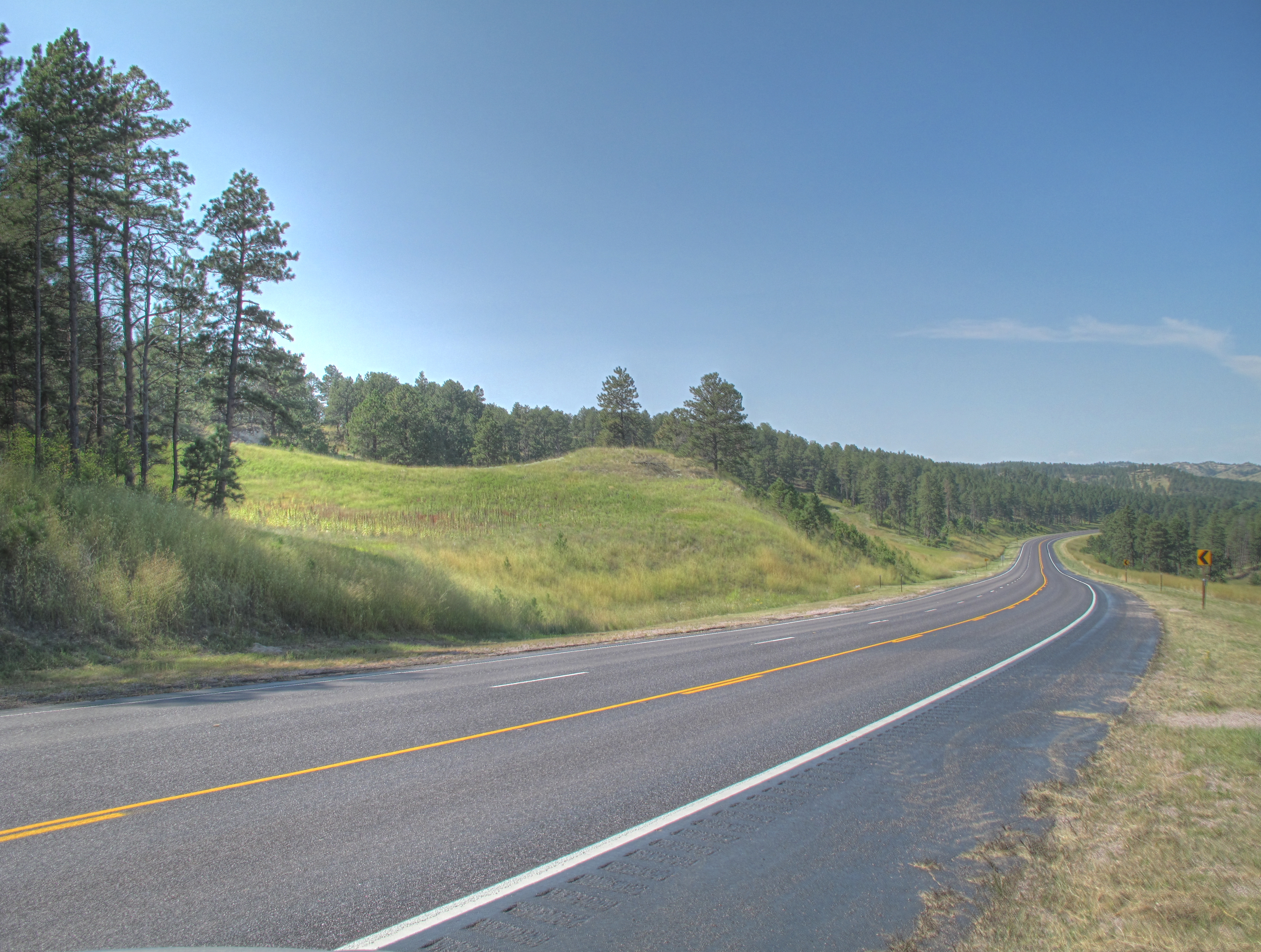
Pine Ridge Region Near Chadron, Nebraska

IMG_1463_4_5Enhancer.jpg
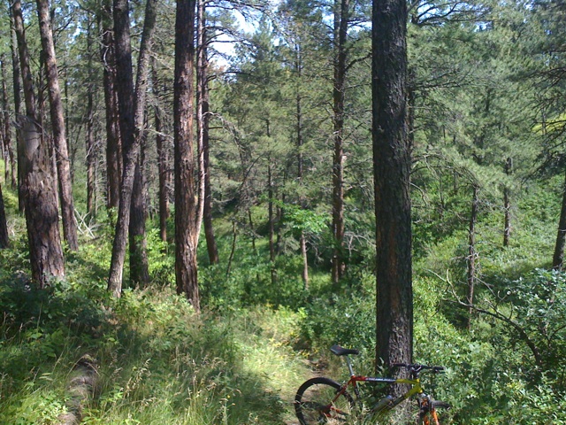
Last Ride
IMG_1460_1_2Enhancer.jpg
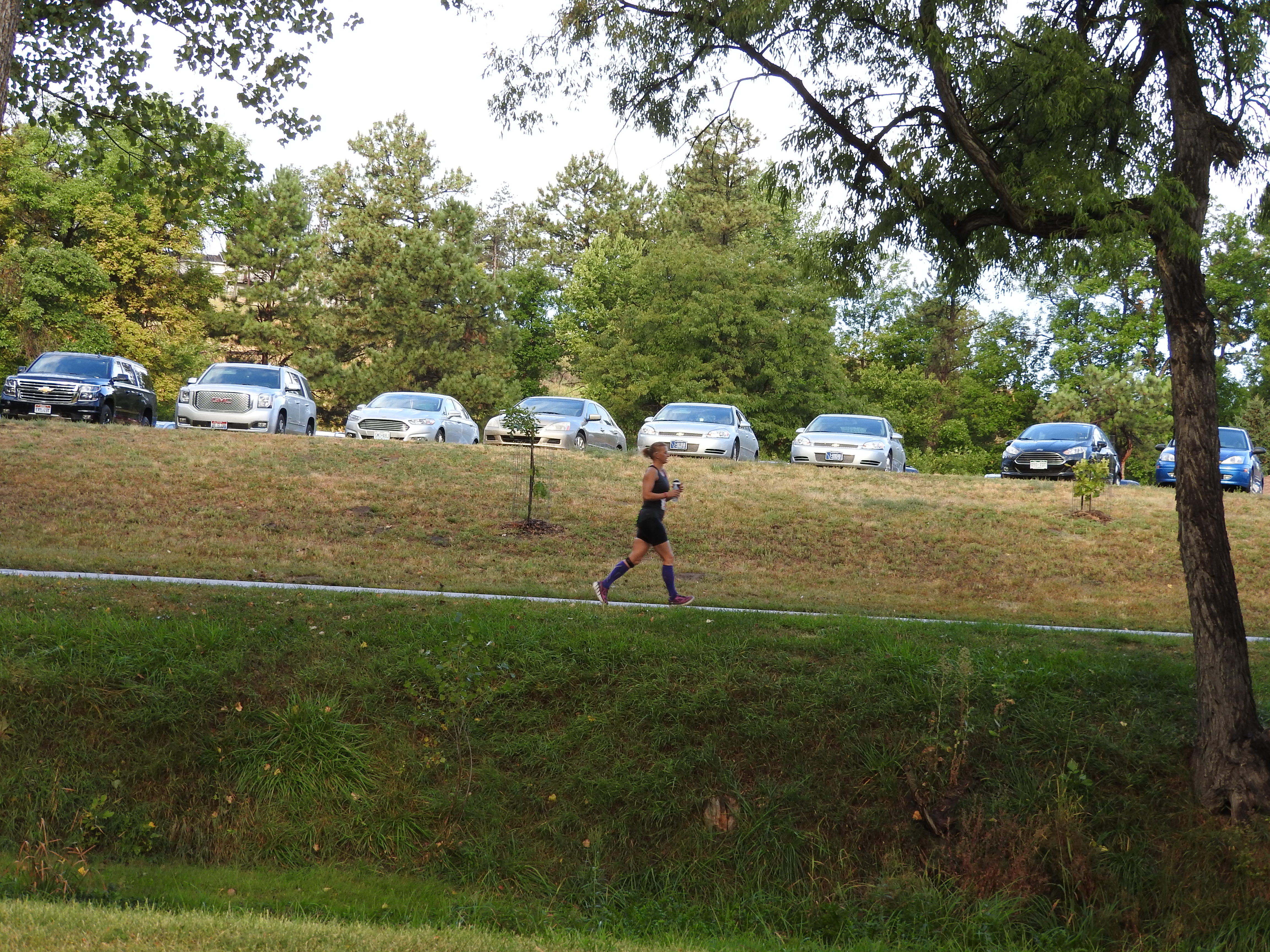
Center of the Nation Marathon Series - Day 5
Center of the Nation Marathon Series - Day 5
Center of the Nation Marathon Series - Day 5
Topographic Map of Dawes County, NE, USA
Find elevation by address:

Places in Dawes County, NE, USA:
Places near Dawes County, NE, USA:
Chadron State Park
61 Country Club Rd
Nebraska National Forest
Morehead St, Chadron, NE, USA
Chadron
Marsland
Dorsey
Crawford
Hemingford
Fort Robinson Museum
Hay Springs
N Main St, Hay Springs, NE, USA
444 Deadman Rd
Hay Springs
Nonpareil
Box Butte County
8181 Keith Rd
Glen
Prairie Wind Casino & Hotel
Toadstool Geological Park And Campground
Recent Searches:
- Elevation of Corso Fratelli Cairoli, 35, Macerata MC, Italy
- Elevation of Tallevast Rd, Sarasota, FL, USA
- Elevation of 4th St E, Sonoma, CA, USA
- Elevation of Black Hollow Rd, Pennsdale, PA, USA
- Elevation of Oakland Ave, Williamsport, PA, USA
- Elevation of Pedrógão Grande, Portugal
- Elevation of Klee Dr, Martinsburg, WV, USA
- Elevation of Via Roma, Pieranica CR, Italy
- Elevation of Tavkvetili Mountain, Georgia
- Elevation of Hartfords Bluff Cir, Mt Pleasant, SC, USA