Elevation of Moose Lake, Shelburne, NS B0T, Canada
Location: Canada > Nova Scotia > Shelburne County > Shelburne >
Longitude: -65.444816
Latitude: 44.1348945
Elevation: 101m / 331feet
Barometric Pressure: 100KPa
Elevation Map:
Satellite Map:
Related Photos:
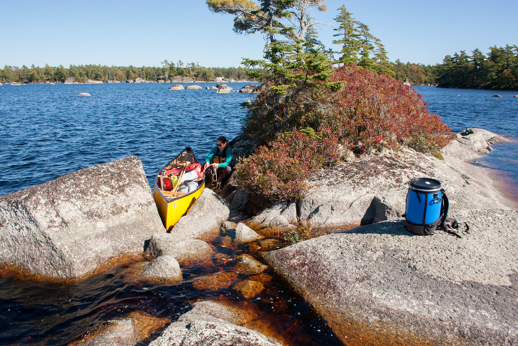
Lunch Break on Sisketch Lake
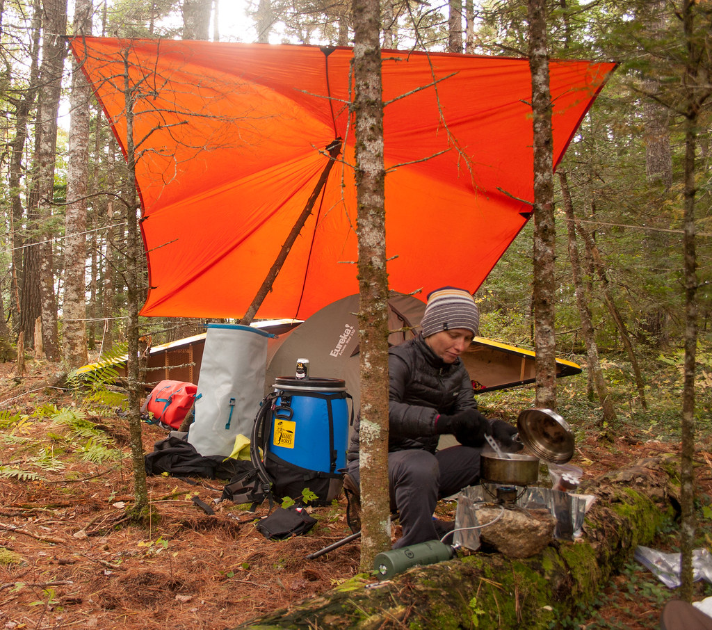
Buckshot Lake Shelter

Stanley at Junction Lake
Topographic Map of Moose Lake, Shelburne, NS B0T, Canada
Find elevation by address:

Places near Moose Lake, Shelburne, NS B0T, Canada:
NS-, Shelburne, NS B0T 1W0, Canada
Middle Clyde River
B0t 1b0
Shelburne County
Jeremys Bay Campground Rd, Caledonia, NS B0T 1B0, Canada
South Carrying Road Lake
Upper Clyde Road
Langford Lake
Little Tusket Lake
255 Carleton St
New Grafton Rd, Caledonia, NS B0T 1B0, Canada
Jordan Falls
Shelburne
133 Elliot St
N Kempt Rd, Kemptville, NS B0W 1Y0, Canada
Digby
42 Thomas St
Kemptville
12389 Nova Scotia Trunk 8
Whitman Inn
Recent Searches:
- Elevation of Corso Fratelli Cairoli, 35, Macerata MC, Italy
- Elevation of Tallevast Rd, Sarasota, FL, USA
- Elevation of 4th St E, Sonoma, CA, USA
- Elevation of Black Hollow Rd, Pennsdale, PA, USA
- Elevation of Oakland Ave, Williamsport, PA, USA
- Elevation of Pedrógão Grande, Portugal
- Elevation of Klee Dr, Martinsburg, WV, USA
- Elevation of Via Roma, Pieranica CR, Italy
- Elevation of Tavkvetili Mountain, Georgia
- Elevation of Hartfords Bluff Cir, Mt Pleasant, SC, USA