Elevation of NS-, Shelburne, NS B0T 1W0, Canada
Location: Canada > Nova Scotia > Shelburne County > Shelburne >
Longitude: -65.405813
Latitude: 43.9258505
Elevation: 65m / 213feet
Barometric Pressure: 101KPa
Elevation Map:
Satellite Map:
Related Photos:
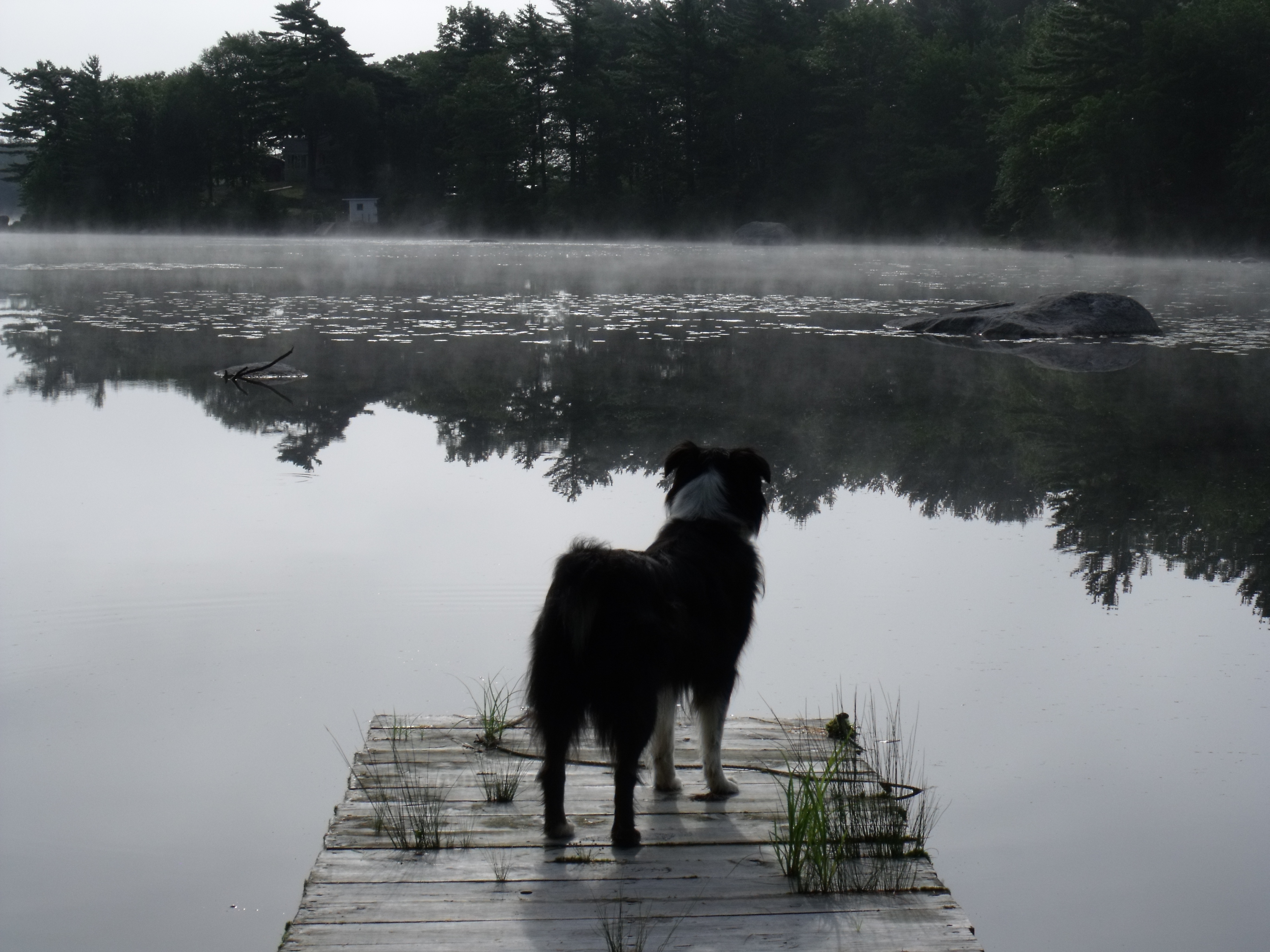
She enjoys standing on the wharf looking at the lake
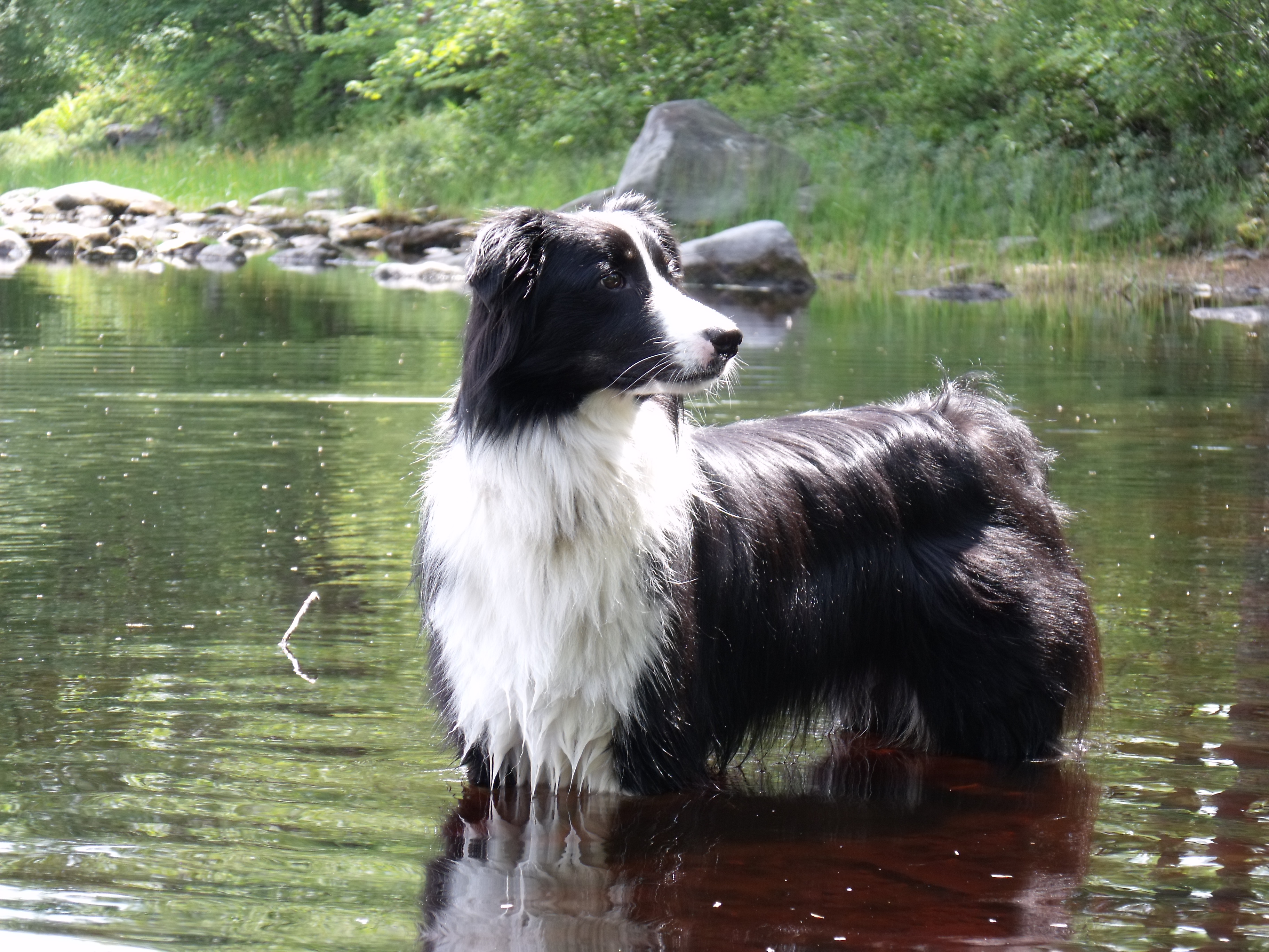
A nice cool wade in the lake
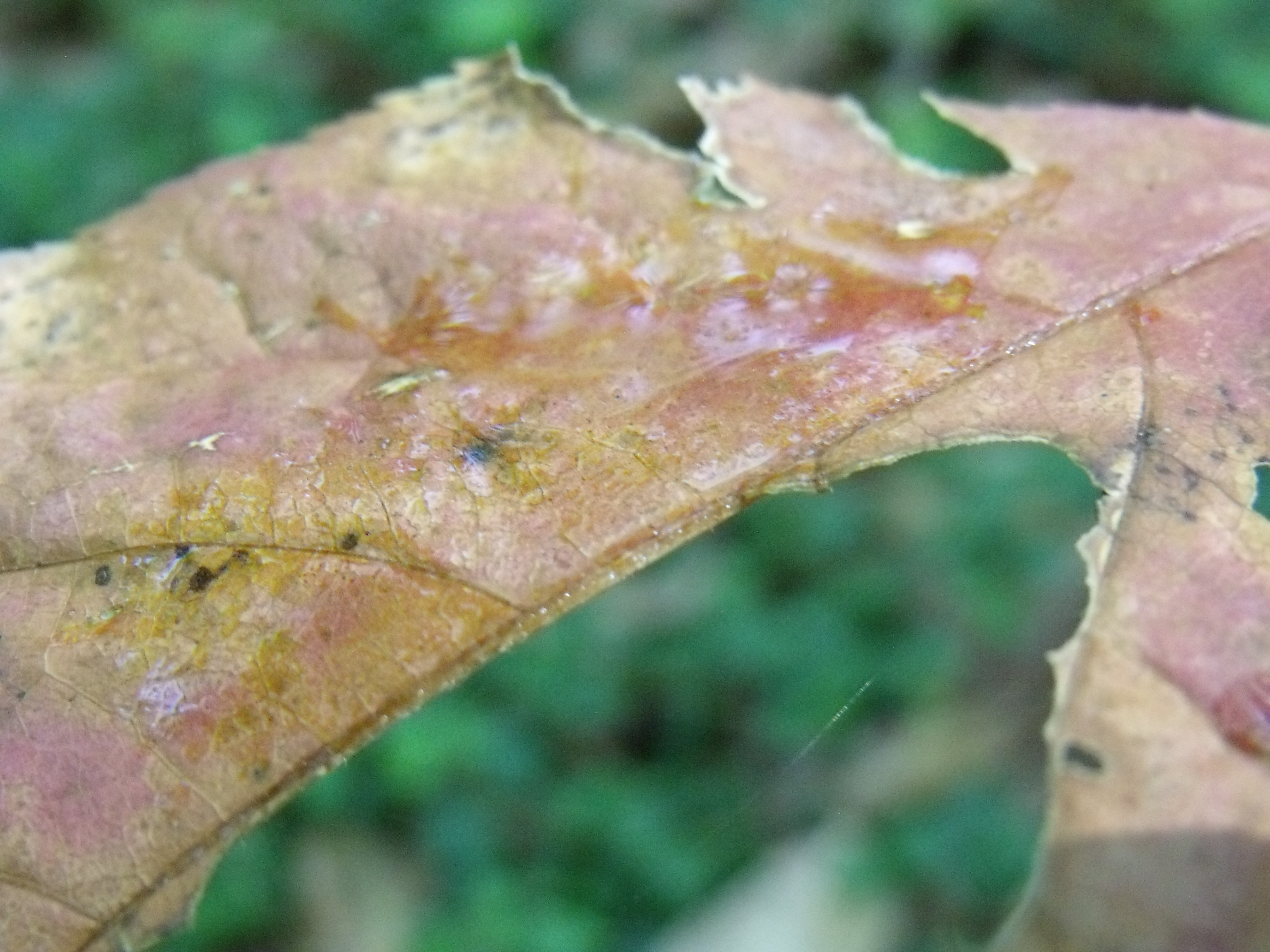
past it's day
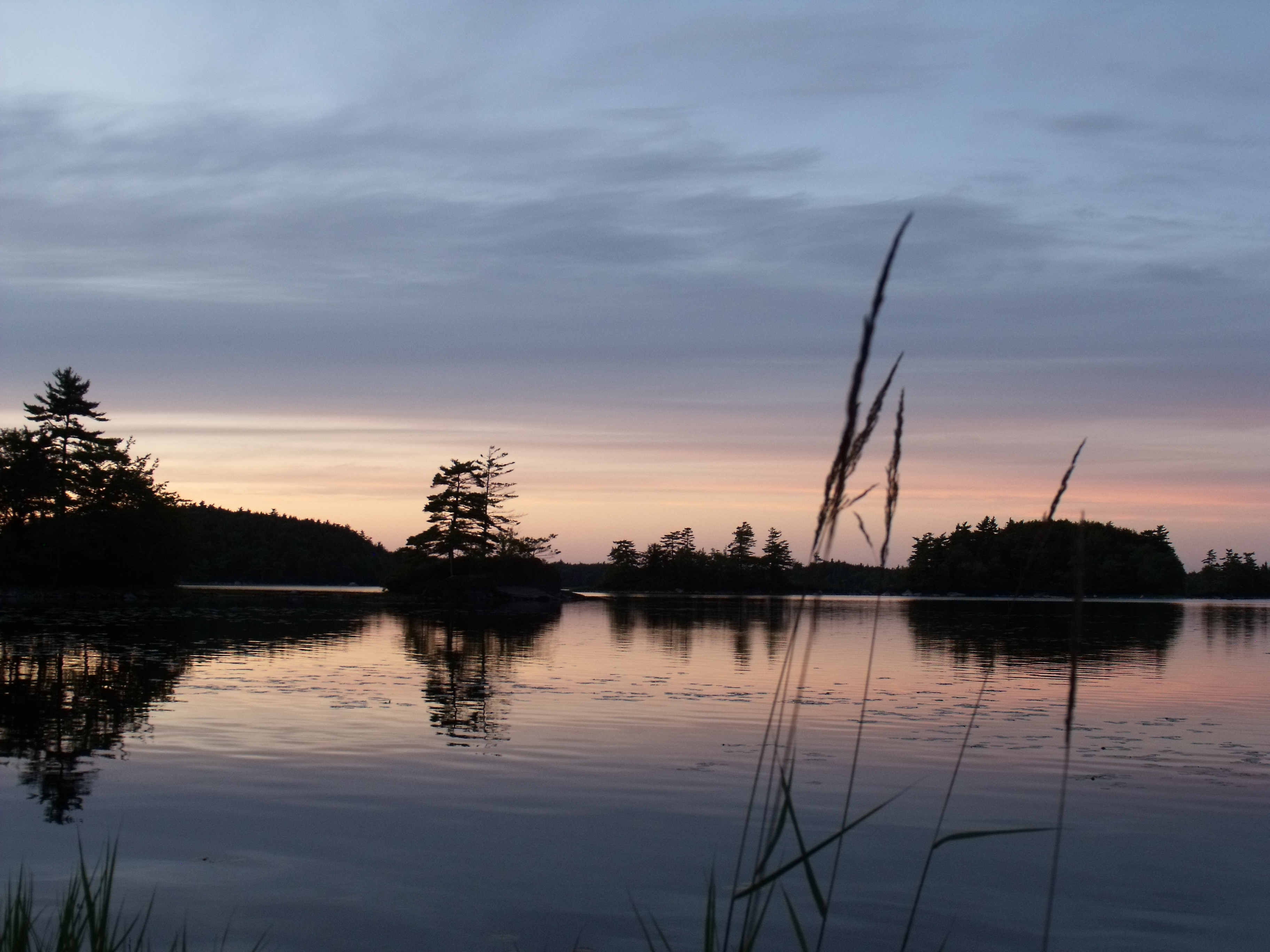
Sunset in Shelburne County
Topographic Map of NS-, Shelburne, NS B0T 1W0, Canada
Find elevation by address:

Places near NS-, Shelburne, NS B0T 1W0, Canada:
Shelburne County
Middle Clyde River
255 Carleton St
Upper Clyde Road
Shelburne
133 Elliot St
42 Thomas St
Jordan Falls
Shore Rd, Shelburne, NS B0T 1W0, Canada
Moose Lake
Sandy Point Road
1231 Sandy Point Rd
Sandy Point Recreation Centre
15 Fire Hall Rd, Shelburne, NS B0T 1W0, Canada
Jordan Bay
2384 Sandy Point Rd
139 Hammond Rd
Sandy Point Rd, Shelburne, NS B0T 1W0, Canada
Lower Jordan Bay
Shelburne
Recent Searches:
- Elevation of Corso Fratelli Cairoli, 35, Macerata MC, Italy
- Elevation of Tallevast Rd, Sarasota, FL, USA
- Elevation of 4th St E, Sonoma, CA, USA
- Elevation of Black Hollow Rd, Pennsdale, PA, USA
- Elevation of Oakland Ave, Williamsport, PA, USA
- Elevation of Pedrógão Grande, Portugal
- Elevation of Klee Dr, Martinsburg, WV, USA
- Elevation of Via Roma, Pieranica CR, Italy
- Elevation of Tavkvetili Mountain, Georgia
- Elevation of Hartfords Bluff Cir, Mt Pleasant, SC, USA