Elevation of Monticello Hwy, Gray, GA, USA
Location: United States > Georgia > Jones County > Gray >
Longitude: -83.559026
Latitude: 33.053575
Elevation: 190m / 623feet
Barometric Pressure: 99KPa
Elevation Map:
Satellite Map:
Related Photos:
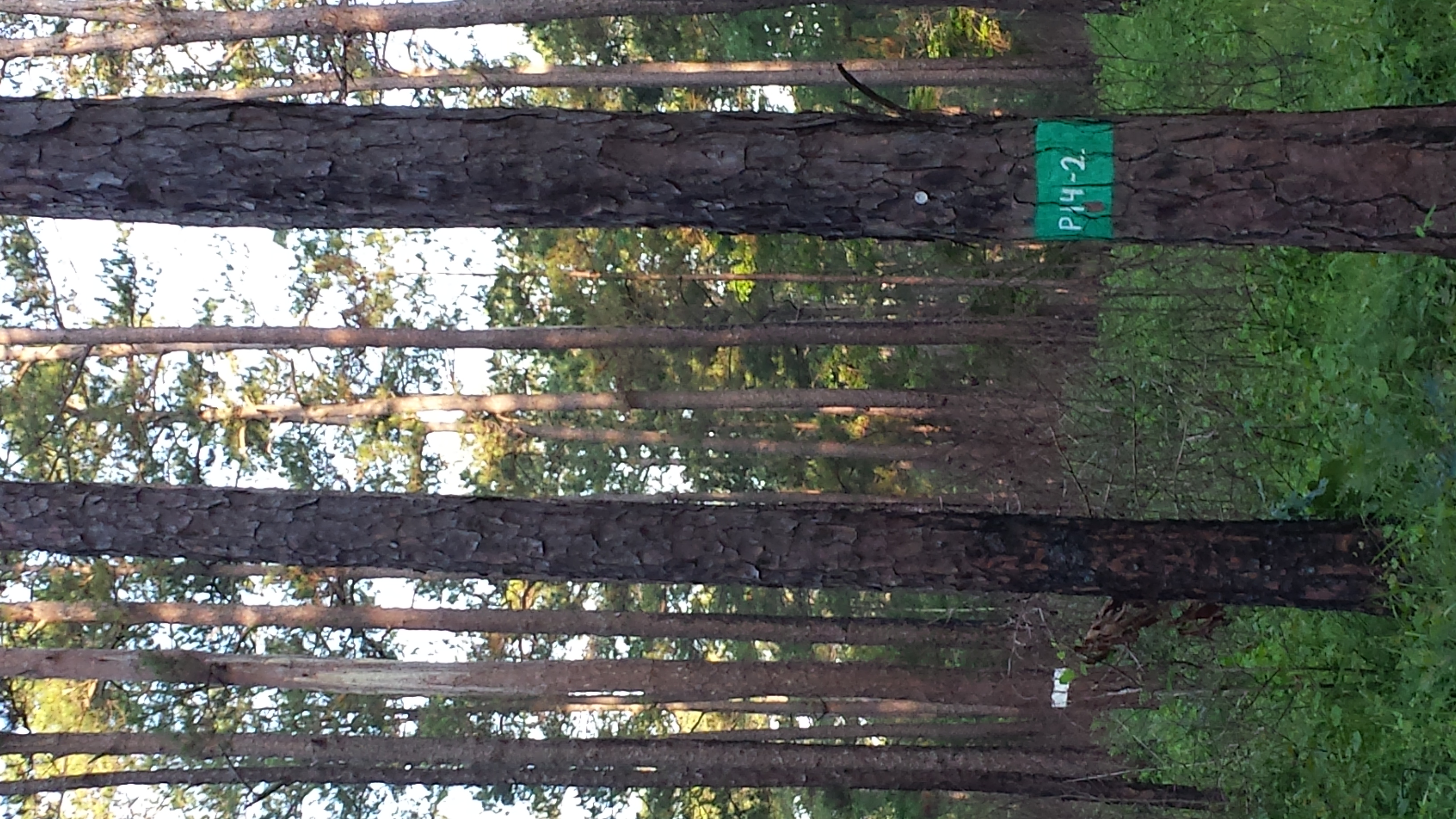
Red-cockaded Woodpecker habitat
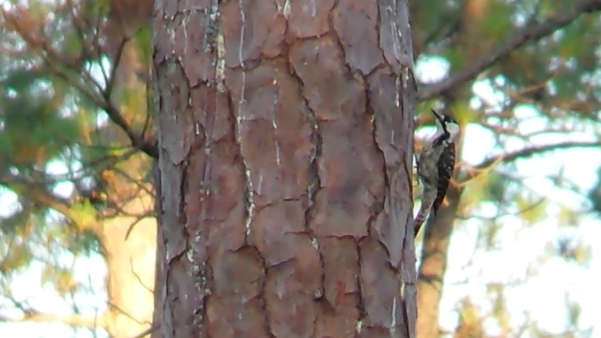
Red-cockaded Woodpecker
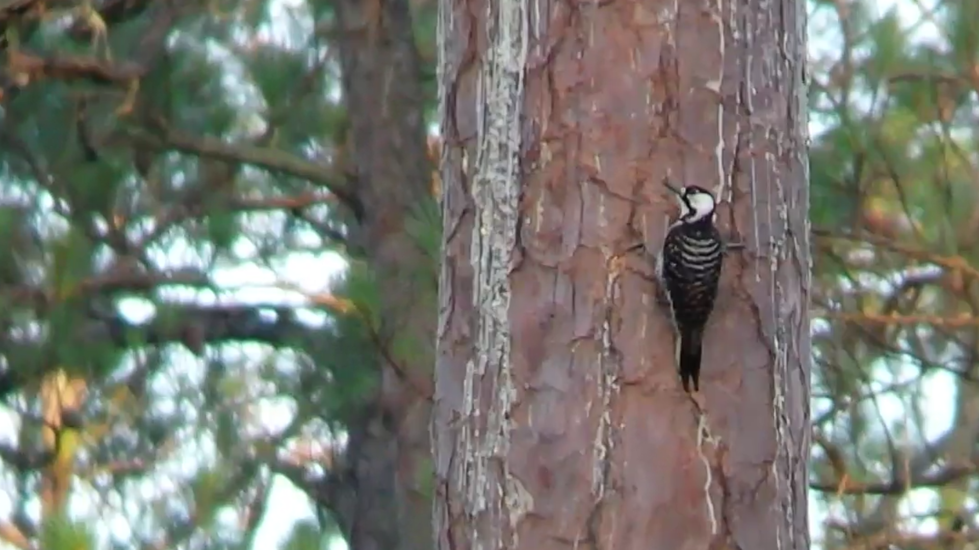
Red-cockaded Woodpecker
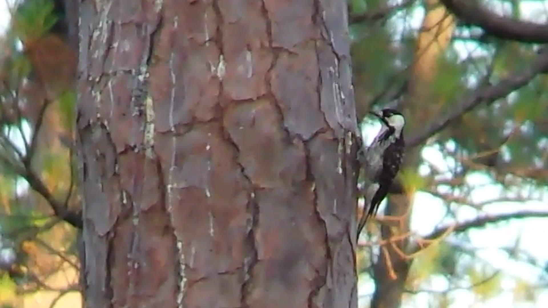
Red-cockaded Woodpecker

Rib sandwich
Hillsboro neg SWWA hab
gray barn
Jarrell Plantation Historic Site (66) Gin House
Topographic Map of Monticello Hwy, Gray, GA, USA
Find elevation by address:

Places near Monticello Hwy, Gray, GA, USA:
351 Otis Redding Rd
156 W Clinton St
Gray
Randolph St, Gray, GA, USA
Jones County
Round Oak
Tillman Ln, Round Oak, GA, USA
Cumslo Rd, Gray, GA, USA
411 Morton Rd
120 Ashland Way
2205 Fox Creek Dr
865 Hadaway Rd
Bowen Hill Rd, Haddock, GA, USA
Haddock
Watson Dr, Macon, GA, USA
GA-18, Gray, GA, USA
Hillsboro
2211 State Hwy 11
Old Dames Ferry Rd, Juliette, GA, USA
144 Popes Ferry Ln
Recent Searches:
- Elevation of Corso Fratelli Cairoli, 35, Macerata MC, Italy
- Elevation of Tallevast Rd, Sarasota, FL, USA
- Elevation of 4th St E, Sonoma, CA, USA
- Elevation of Black Hollow Rd, Pennsdale, PA, USA
- Elevation of Oakland Ave, Williamsport, PA, USA
- Elevation of Pedrógão Grande, Portugal
- Elevation of Klee Dr, Martinsburg, WV, USA
- Elevation of Via Roma, Pieranica CR, Italy
- Elevation of Tavkvetili Mountain, Georgia
- Elevation of Hartfords Bluff Cir, Mt Pleasant, SC, USA