Elevation of Bowen Hill Rd, Haddock, GA, USA
Location: United States > Georgia > Jones County > Haddock >
Longitude: -83.429294
Latitude: 33.0324071
Elevation: 153m / 502feet
Barometric Pressure: 99KPa
Elevation Map:
Satellite Map:
Related Photos:

Wild Onions ~ fog n rain

State Dairy Farm Road

Eartha's deer

pink powerlines

East on hwy 49

Fire Ants
cemetery @ Hwy 49

HB feeder
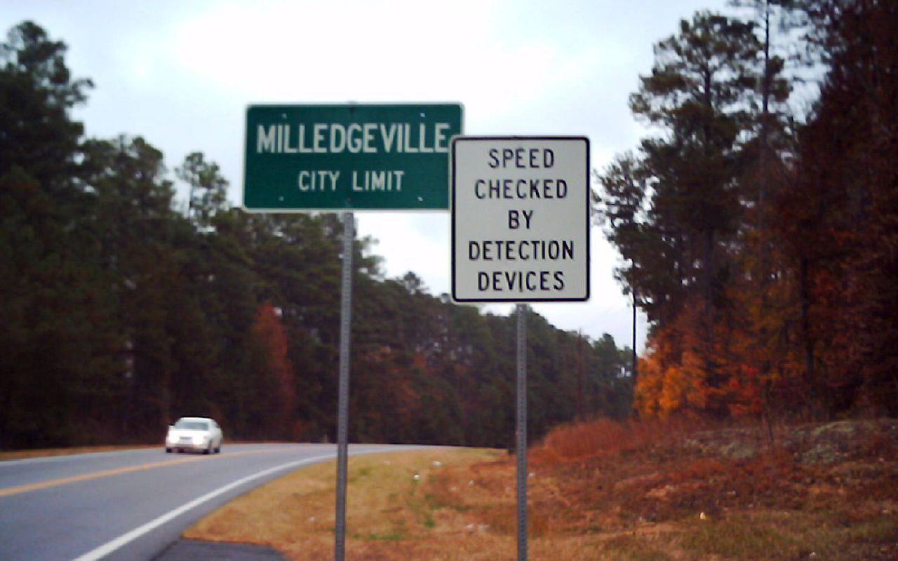
city limits

Rib sandwich

view from the sink

Central State Hospital's Cedar Lane Cemetery, Hardwick, GA
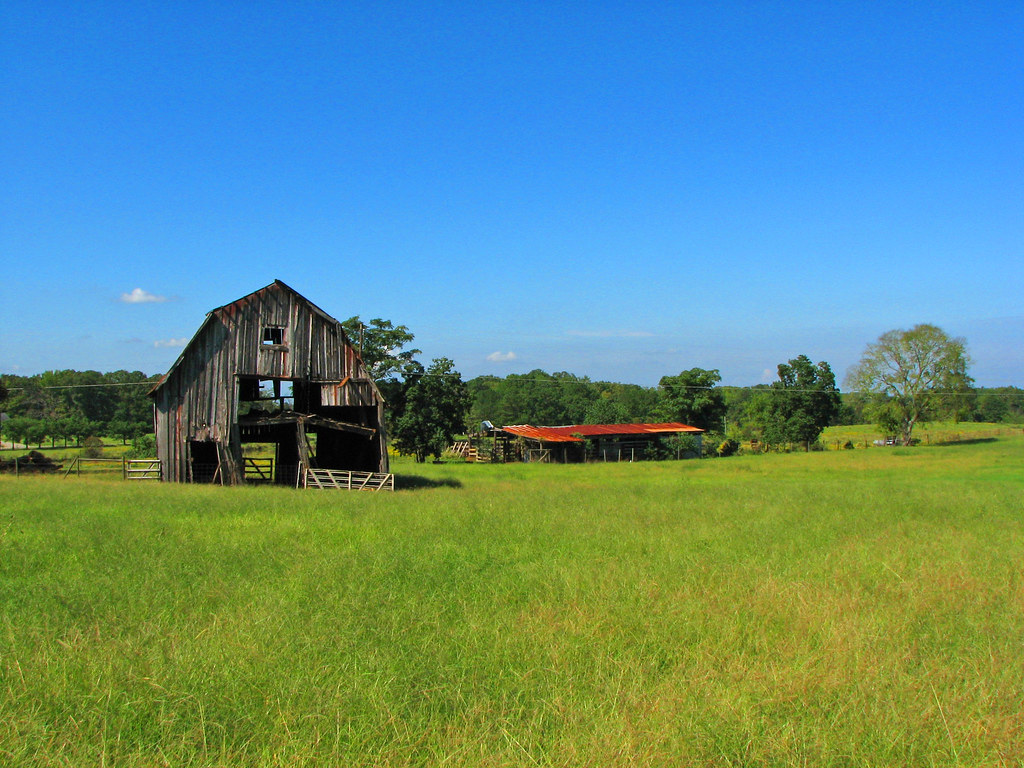
gray barn

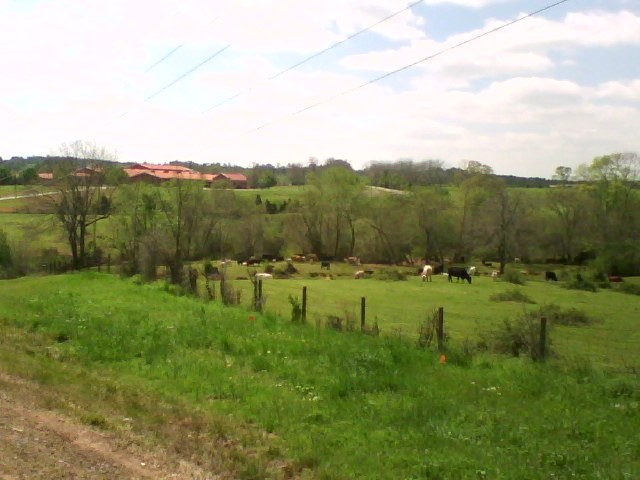
State Dairy Farm
The next day !
Topographic Map of Bowen Hill Rd, Haddock, GA, USA
Find elevation by address:

Places near Bowen Hill Rd, Haddock, GA, USA:
Haddock
2205 Fox Creek Dr
624 Browns Crossing Rd Nw
Browns Crossing Rd NW, Milledgeville, GA, USA
GA-18, Gray, GA, USA
Jones County
411 Morton Rd
Gray
156 W Clinton St
Cumslo Rd, Gray, GA, USA
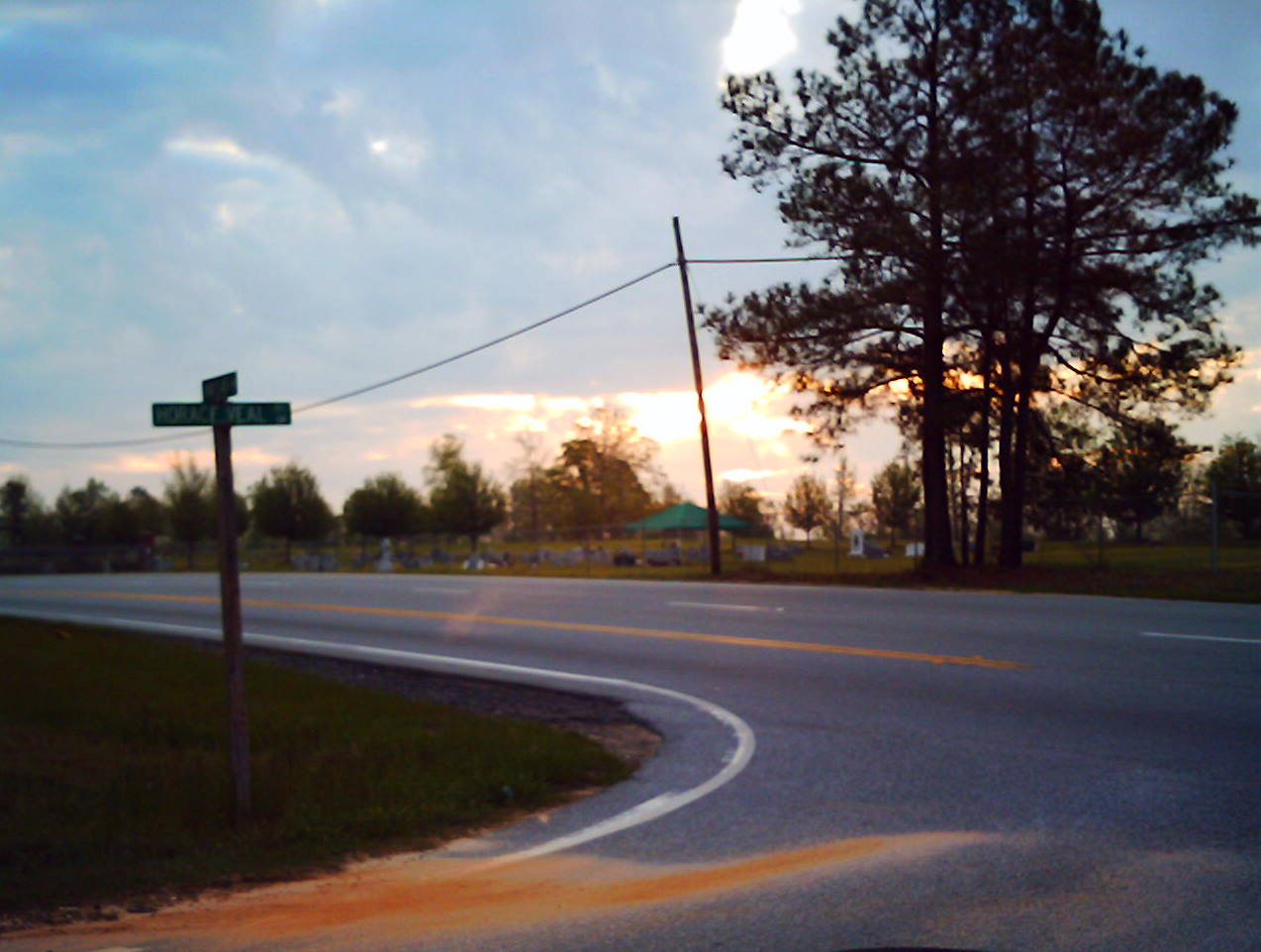
Horace Veal Rd NW, Milledgeville, GA, USA
Old Macon Road Southwest
Monticello Hwy, Gray, GA, USA
Randolph St, Gray, GA, USA
210 Parham Rd Nw
Mountain Springs Rd, Macon, GA, USA
Baldwin County
232 Horace Veal Rd Nw
107 Old Plantation Trail Nw
Montego Court East
Recent Searches:
- Elevation of Corso Fratelli Cairoli, 35, Macerata MC, Italy
- Elevation of Tallevast Rd, Sarasota, FL, USA
- Elevation of 4th St E, Sonoma, CA, USA
- Elevation of Black Hollow Rd, Pennsdale, PA, USA
- Elevation of Oakland Ave, Williamsport, PA, USA
- Elevation of Pedrógão Grande, Portugal
- Elevation of Klee Dr, Martinsburg, WV, USA
- Elevation of Via Roma, Pieranica CR, Italy
- Elevation of Tavkvetili Mountain, Georgia
- Elevation of Hartfords Bluff Cir, Mt Pleasant, SC, USA