Elevation of Mons Sex Millia, Canterbury, New Zealand
Location: New Zealand > Canterbury > Poplars Range >
Longitude: 172.450833
Latitude: -42.534999
Elevation: 1795m / 5889feet
Barometric Pressure: 82KPa
Elevation Map:
Satellite Map:
Related Photos:
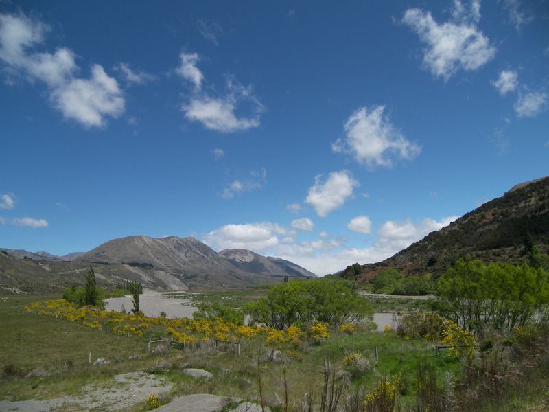
Lewis Pass 2
Topographic Map of Mons Sex Millia, Canterbury, New Zealand
Find elevation by address:

Places near Mons Sex Millia, Canterbury, New Zealand:
Poplars Range
Island Hills
Mount Longfellow
Lake Taylor
Hanmer Springs
Mouse Point Road
Hurunui District
Mount Culverden
46 Jollies Pass Rd
Ivess Peak
Mount Turnbull
Amuri Plain
637 Saint Leonards Road
Gray Hill
364 Loburn Kowai Rd
Victoria Forest Park
Lees Valley
75 Loburn Terrace Rd
Loburn
378 Marshmans Rd
Recent Searches:
- Elevation of Corso Fratelli Cairoli, 35, Macerata MC, Italy
- Elevation of Tallevast Rd, Sarasota, FL, USA
- Elevation of 4th St E, Sonoma, CA, USA
- Elevation of Black Hollow Rd, Pennsdale, PA, USA
- Elevation of Oakland Ave, Williamsport, PA, USA
- Elevation of Pedrógão Grande, Portugal
- Elevation of Klee Dr, Martinsburg, WV, USA
- Elevation of Via Roma, Pieranica CR, Italy
- Elevation of Tavkvetili Mountain, Georgia
- Elevation of Hartfords Bluff Cir, Mt Pleasant, SC, USA