Elevation of Saint Leonards Road, Amuri Plain, New Zealand
Location: New Zealand > Canterbury > Amuri Plain >
Longitude: 172.923009
Latitude: -42.787207
Elevation: 160m / 525feet
Barometric Pressure: 99KPa
Elevation Map:
Satellite Map:
Related Photos:

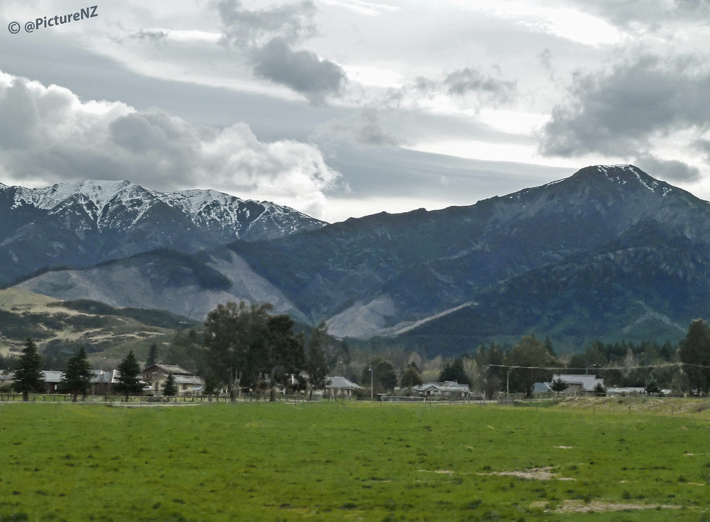
Mountain Views
Small Town Mountains
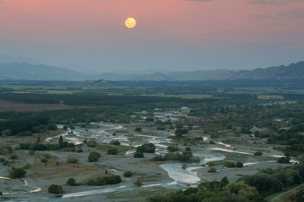
moonrise over the hurunui

Sunset on the Hurunui plain

196.

Landscapes tp and from Hanmer
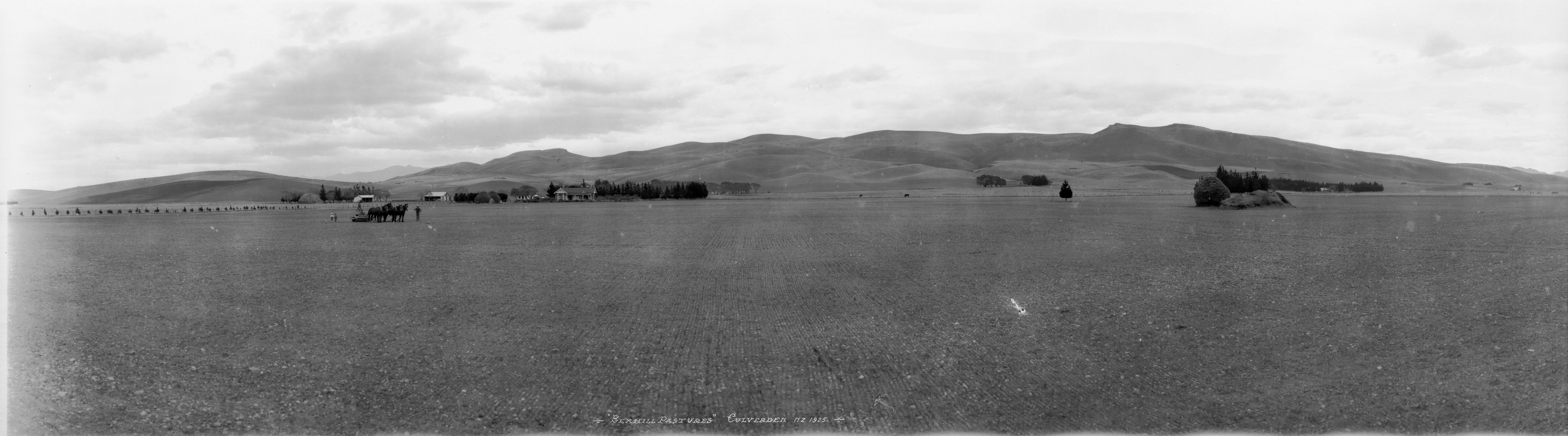
Bexhill Pastures, Culverden, 1925
Road 7, Canterbury, New Zealand.

Road 7, Canterbury, New Zealand.

JJS_0032 1

Hurunui plains looking across the river to Mt Tekoa

NZ Bike Tour Day 11-11 Kaikoura to Culverden.jpg

Bumble Bee in Thistle Flower

Hurunui river in its gorge through the Lowry Range, New Zealand
NZ Bike Tour Day 12-00 Culverden to Christchurch.jpg

20170629-IMG_6102

NZ Bike Tour Day 11-12 Kaikoura to Culverden.jpg

NZ Bike Tour Day 12-01 Culverden to Christchurch.jpg

Open countryside

2016 01 31 w

2019 02 17 1307a
Topographic Map of Saint Leonards Road, Amuri Plain, New Zealand
Find elevation by address:

Places near Saint Leonards Road, Amuri Plain, New Zealand:
Amuri Plain
Mount Culverden
Mouse Point Road
Hurunui District
Hanmer Springs
46 Jollies Pass Rd
Island Hills
Sefton
Mons Sex Millia
378 Marshmans Rd
364 Loburn Kowai Rd
75 Loburn Terrace Rd
Loburn
Poplars Range
40 Loburn Whiterock Rd
Rangiora
113 Topito Road
141 Townsend Road
141 Townsend Road
Gilchrist Place
Recent Searches:
- Elevation of Corso Fratelli Cairoli, 35, Macerata MC, Italy
- Elevation of Tallevast Rd, Sarasota, FL, USA
- Elevation of 4th St E, Sonoma, CA, USA
- Elevation of Black Hollow Rd, Pennsdale, PA, USA
- Elevation of Oakland Ave, Williamsport, PA, USA
- Elevation of Pedrógão Grande, Portugal
- Elevation of Klee Dr, Martinsburg, WV, USA
- Elevation of Via Roma, Pieranica CR, Italy
- Elevation of Tavkvetili Mountain, Georgia
- Elevation of Hartfords Bluff Cir, Mt Pleasant, SC, USA