Elevation of Monroe Township, PA, USA
Location: United States > Pennsylvania > Juniata County >
Longitude: -77.113998
Latitude: 40.6674881
Elevation: 246m / 807feet
Barometric Pressure: 98KPa
Elevation Map:
Satellite Map:
Related Photos:
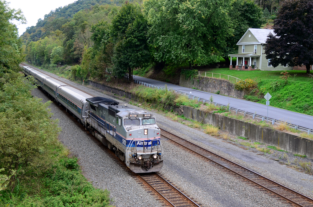
HOUSE WITH A VIEW: AMTK P32-8-512 W/B 43 The Pennsylvanian at Millerstown, PA

73/365/2014: Rear View
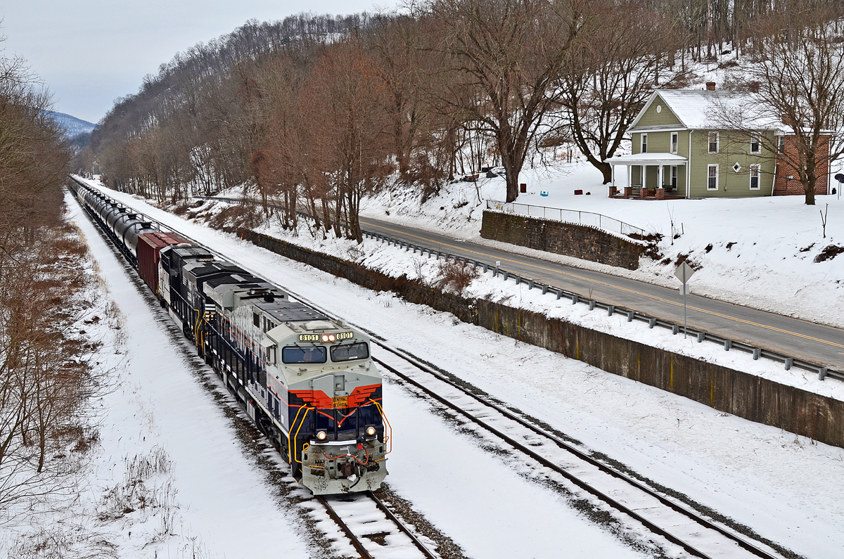
C of G ES44AC-8101 W/B 65R at Millerstown, PA
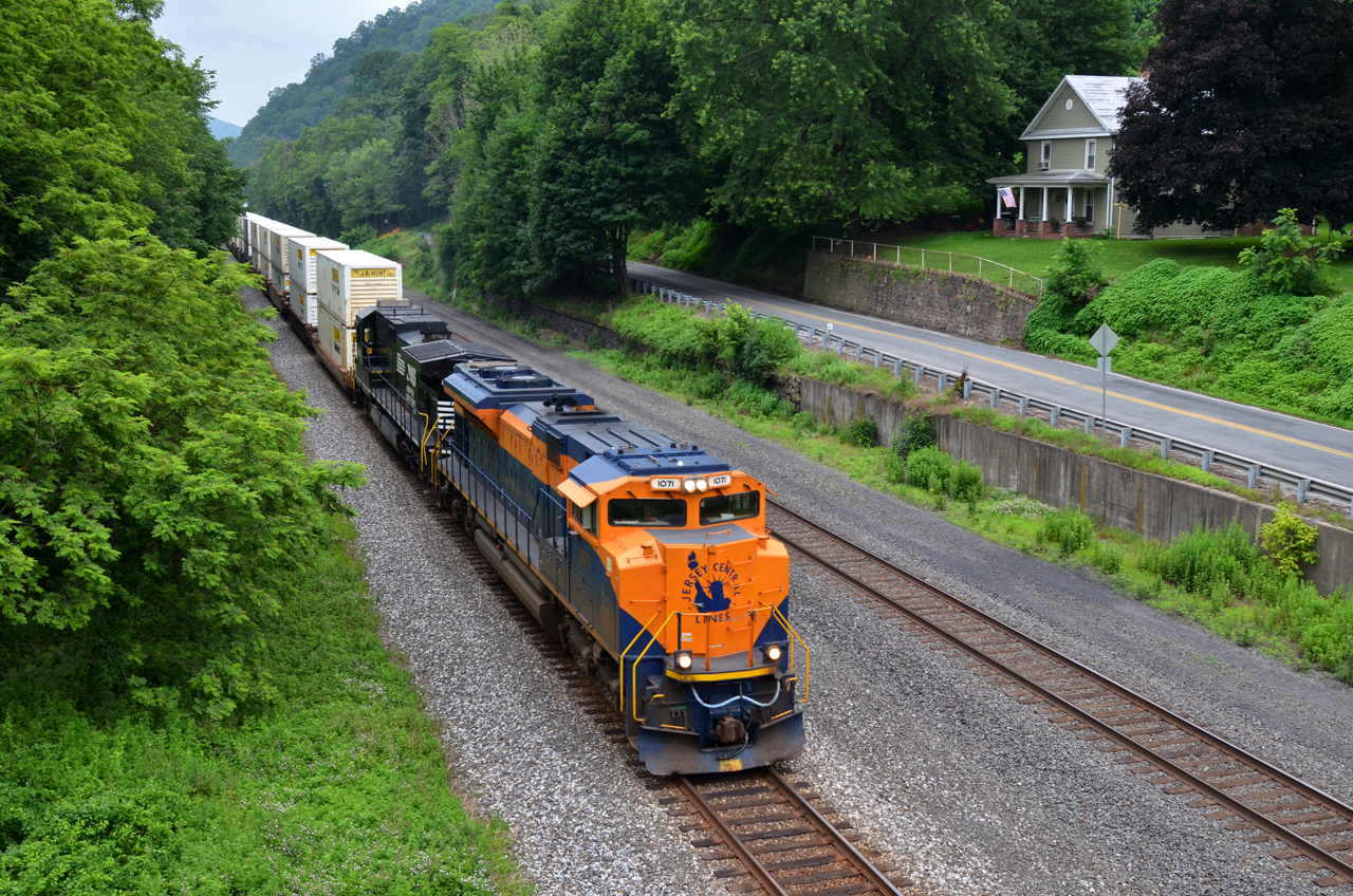
CNJ/NS SD70ACe-1071 W/B 21A at Millerstown, PA

Scattered Sunlight

Ridges and Valley

Near McAlisterville, Pa.

U.S. 522 west of Middleburg, PA

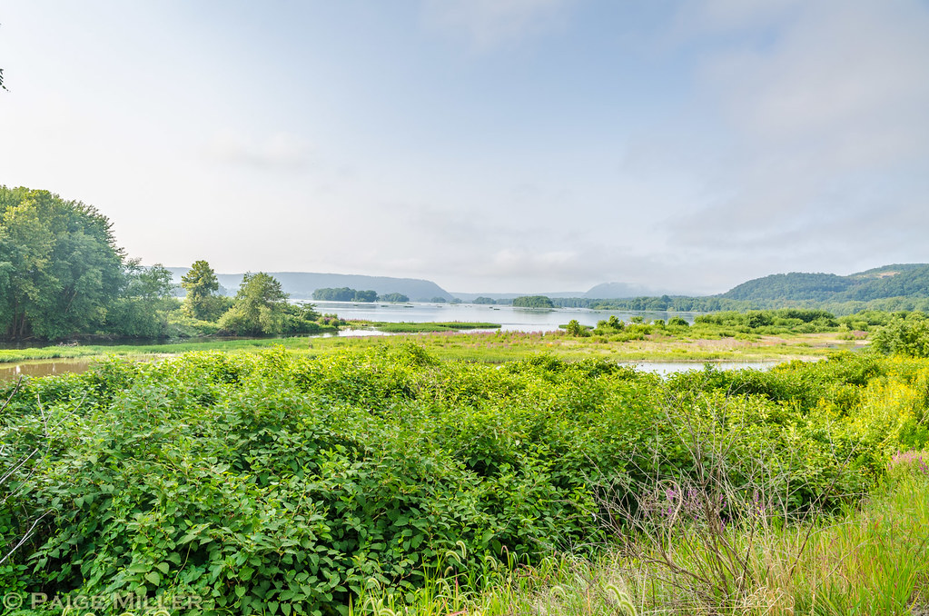
Juniata River
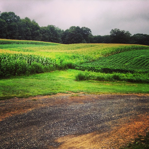
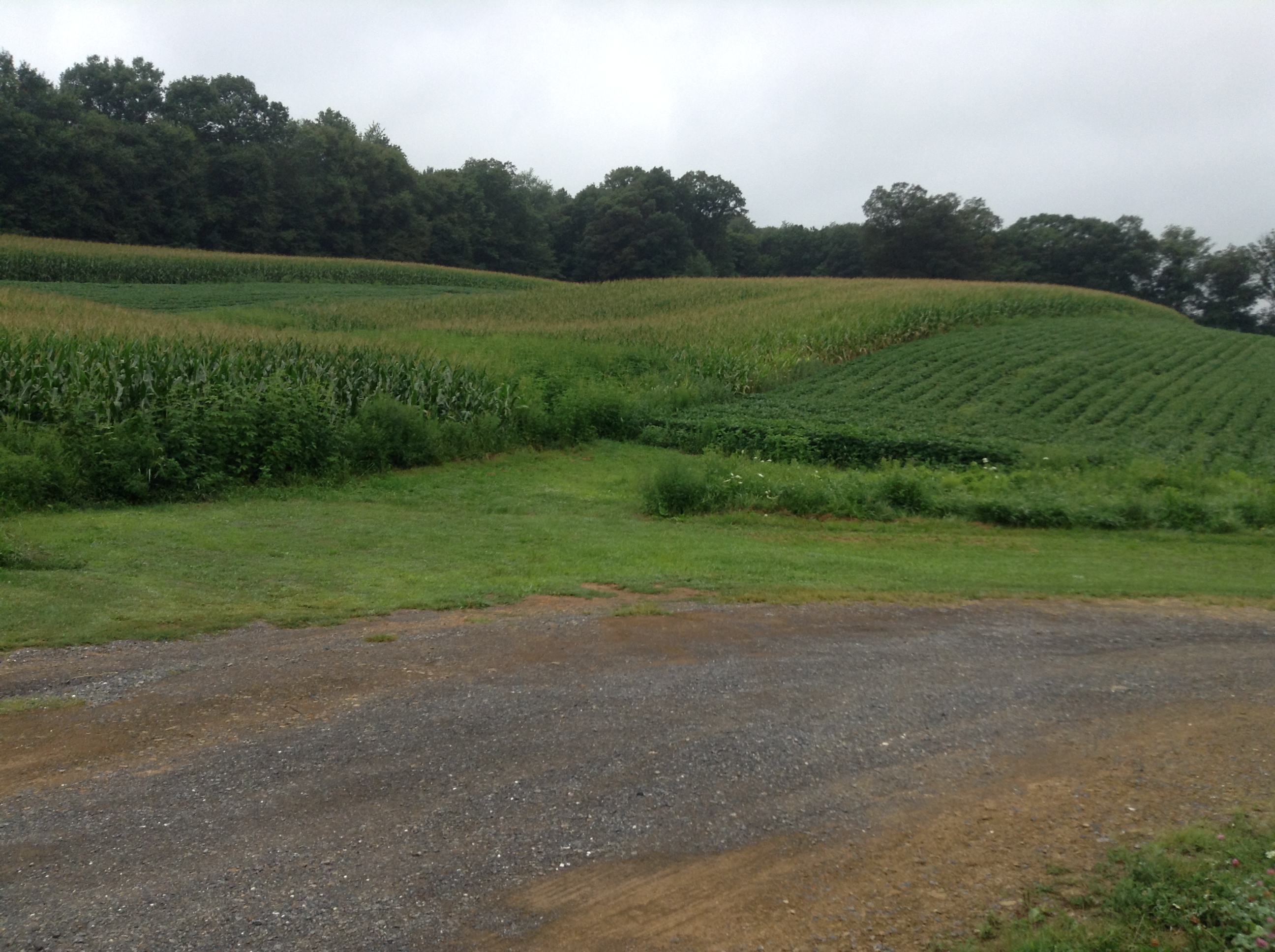
So many cornfields around here

2014 Nostalgia Nationals at Beaver Springs Dragway
Field (no filters)
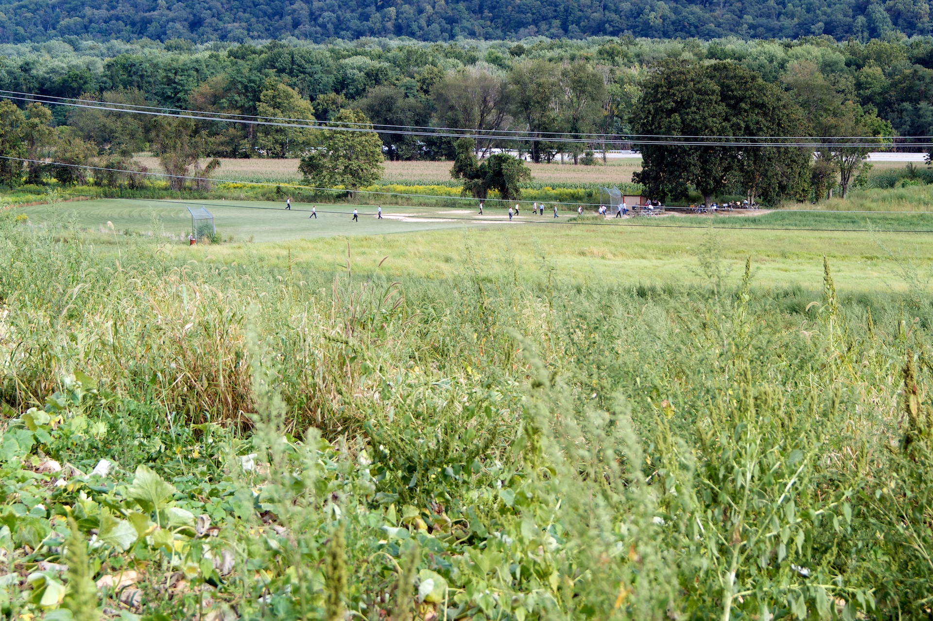
Old Order Baseball Game

Liverpool, PA
Liverpool, PA

These clouds look like smudges of charcoal in the sky...very different! #nightsky #blackclouds
Topographic Map of Monroe Township, PA, USA
Find elevation by address:

Places in Monroe Township, PA, USA:
Places near Monroe Township, PA, USA:
Richfield
Main St, Richfield, PA, USA
Snyder County
Beavertown
Backus Woods Road
Mount Pleasant Mills
Turkey Valley Rd, Liverpool, PA, USA
Perry Township
705 E Sunbury St
Greenwood Township
34 North Market Street
Beaver Springs
Millerstown
Liverpool Township
Liverpool, PA, USA
W Juniata Pkwy, Millerstown, PA, USA
214 S Market St
Liverpool
4856 Mountain Rd
9 William Penn Hwy, Thompsontown, PA, USA
Recent Searches:
- Elevation of Corso Fratelli Cairoli, 35, Macerata MC, Italy
- Elevation of Tallevast Rd, Sarasota, FL, USA
- Elevation of 4th St E, Sonoma, CA, USA
- Elevation of Black Hollow Rd, Pennsdale, PA, USA
- Elevation of Oakland Ave, Williamsport, PA, USA
- Elevation of Pedrógão Grande, Portugal
- Elevation of Klee Dr, Martinsburg, WV, USA
- Elevation of Via Roma, Pieranica CR, Italy
- Elevation of Tavkvetili Mountain, Georgia
- Elevation of Hartfords Bluff Cir, Mt Pleasant, SC, USA