Elevation of Juniata County, PA, USA
Location: United States > Pennsylvania >
Longitude: -77.424297
Latitude: 40.5521642
Elevation: 164m / 538feet
Barometric Pressure: 99KPa
Elevation Map:
Satellite Map:
Related Photos:

RDG SD70ACe-1067, NS SD70ACe-1126 W/B 777 at Thompsontown Station, PA.
Back to you Jim...
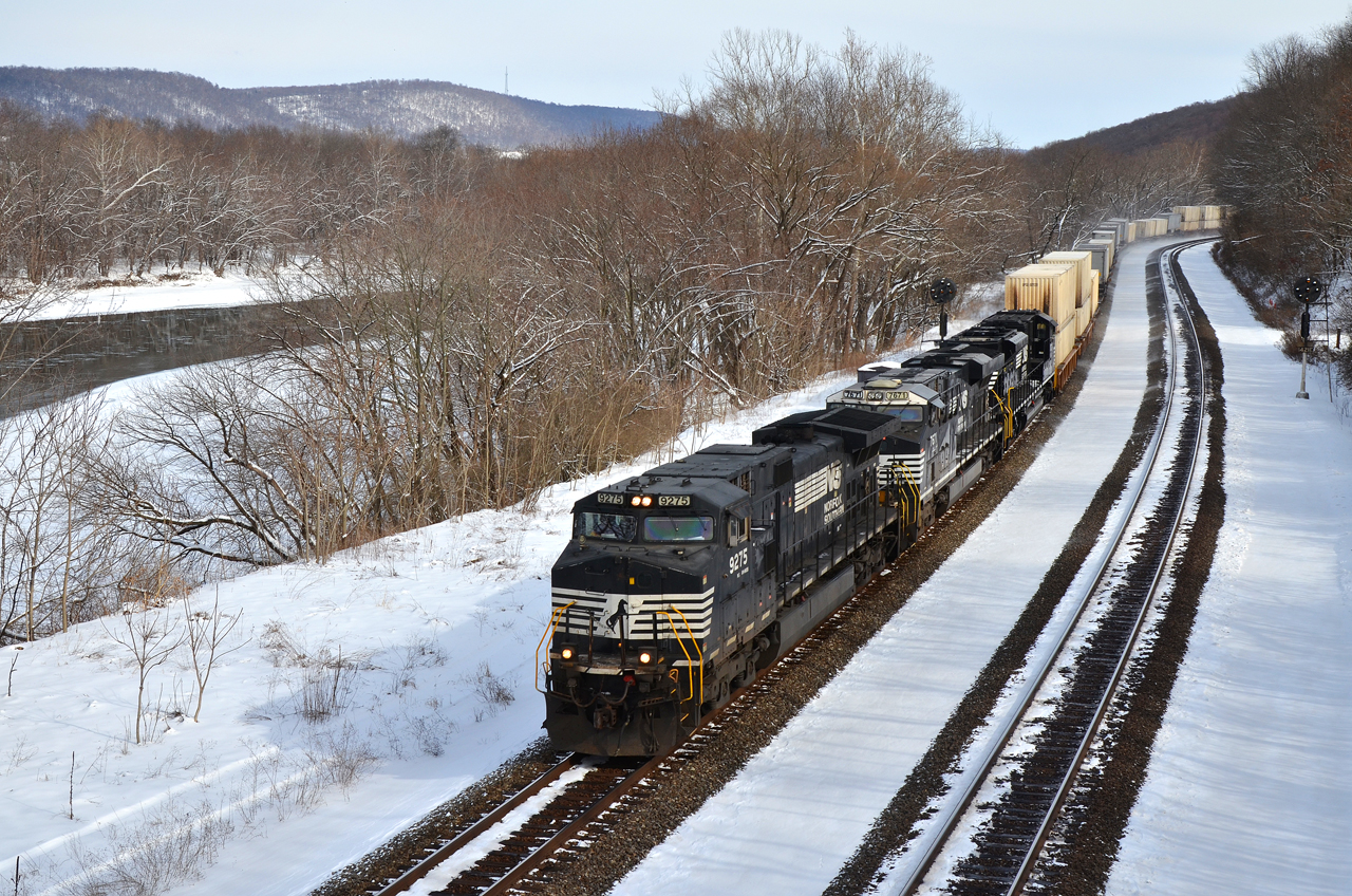
NS C40-9W-9275 W/B 21-E at Thompsontown Station, PA.
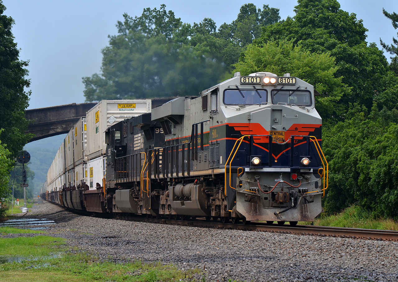
C of G ES44AC-8101, NS C40-9W-9582 E/B 20W at Port Royal, PA
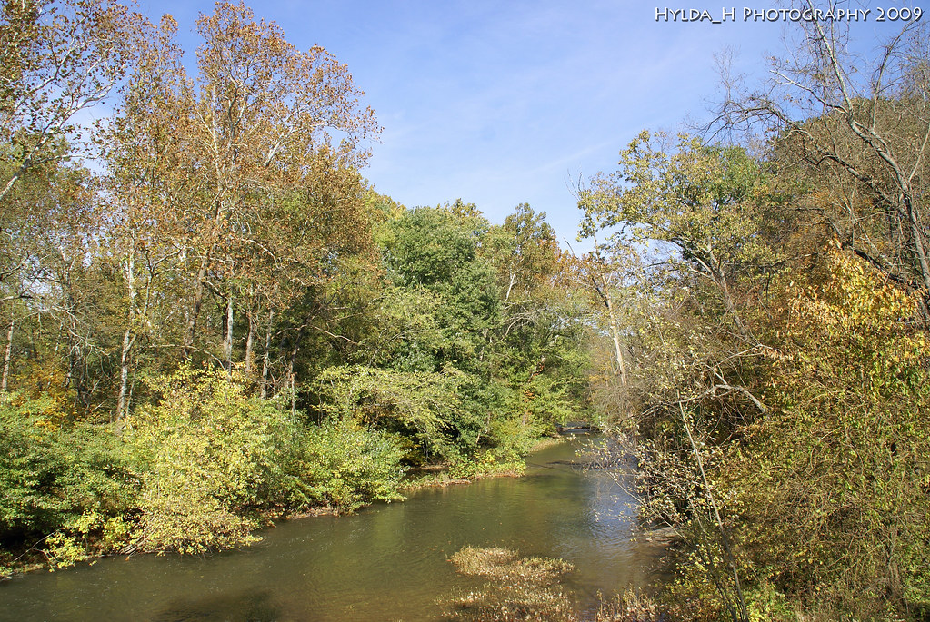
A River Runs Through It
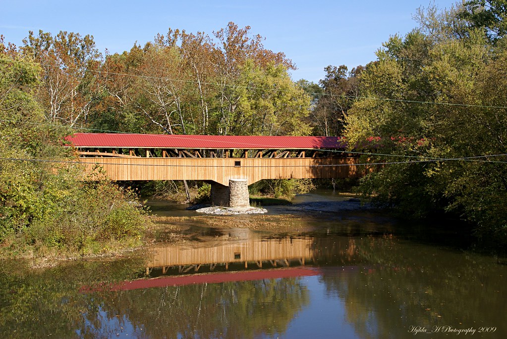
Academia Pomeroy Covered Bridge

Academia Pomeroy Covered Bridge
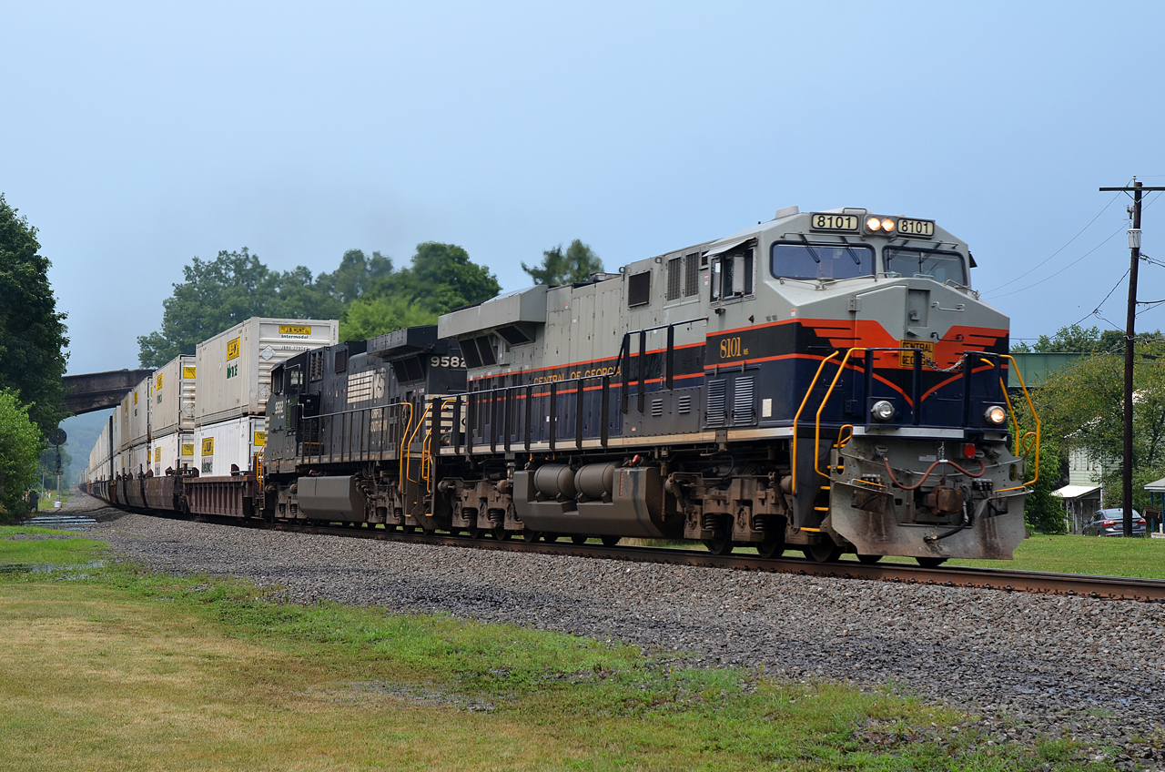
C of G ES44AC-8101, NS C40-9W-9582 E/B 20W at Port Royal, PA
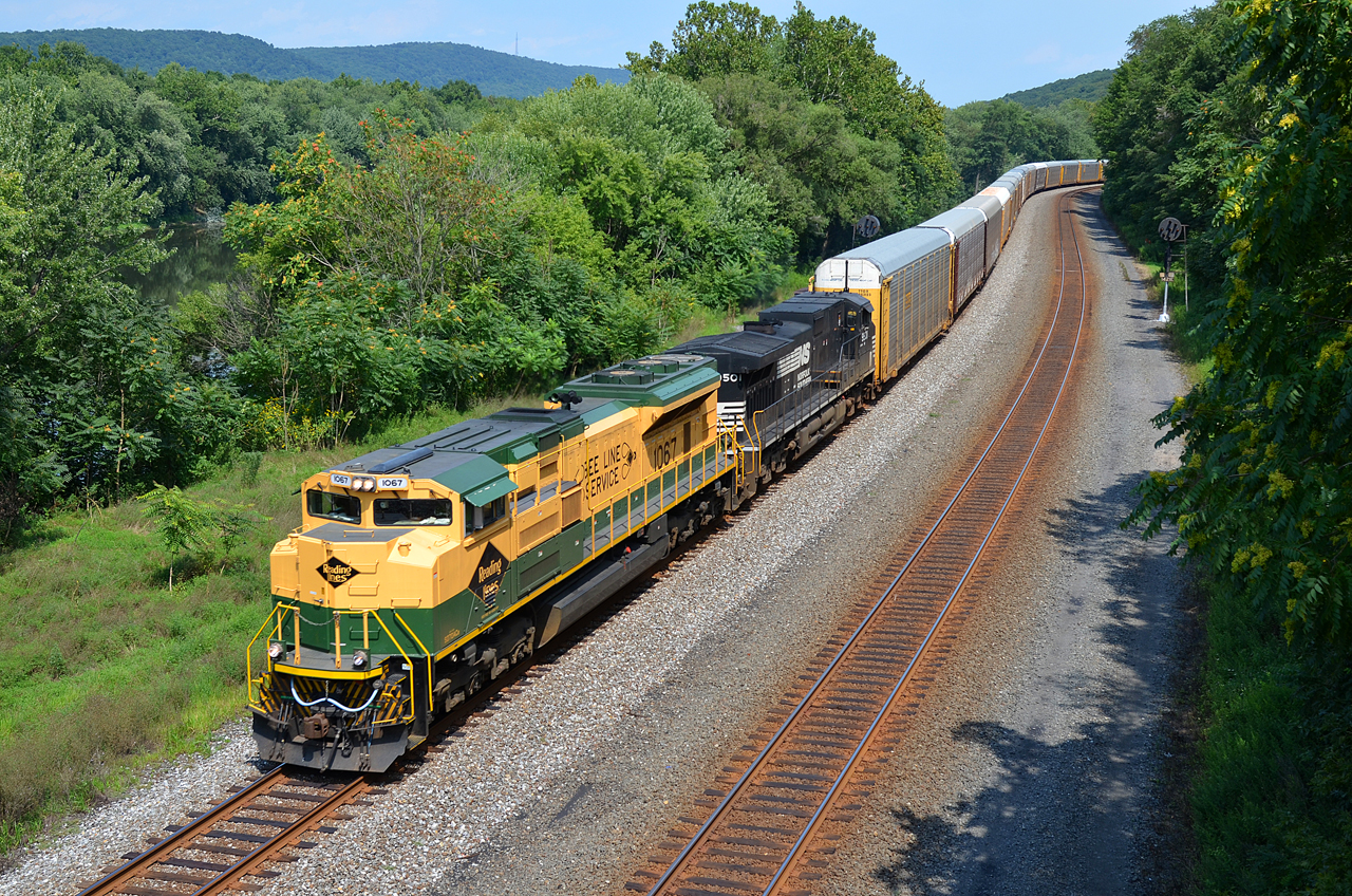
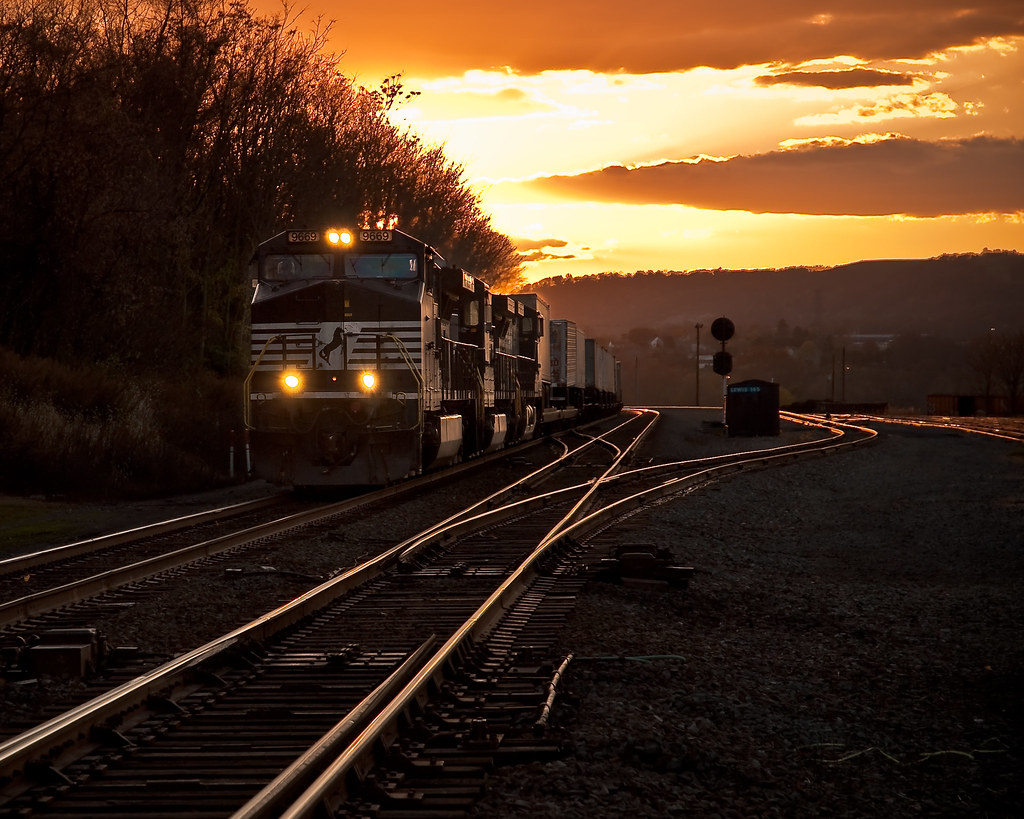
WIDE VIEW. RDG-NS SD70ACe-1067 WB 11J at Thompsontown Station, PA
Miffed in Mifflin
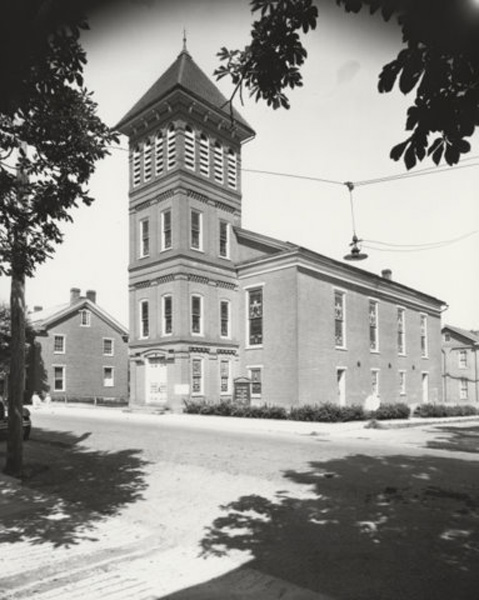
Port Royal (Pa.) Lutheran Church: exterior view (undated)
PRR-NS ES44AC-8102 E/B 26T at Port Royal, PA
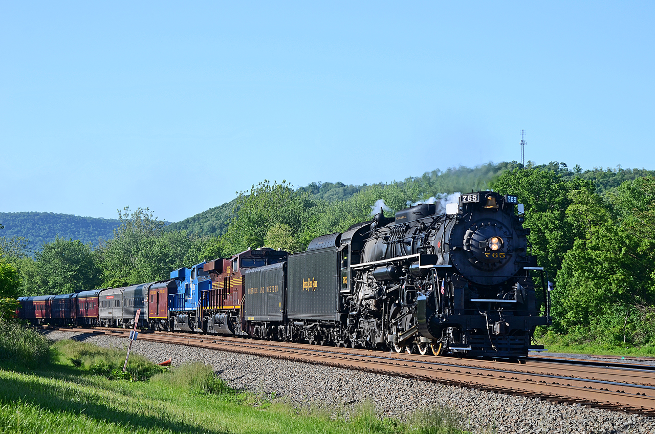
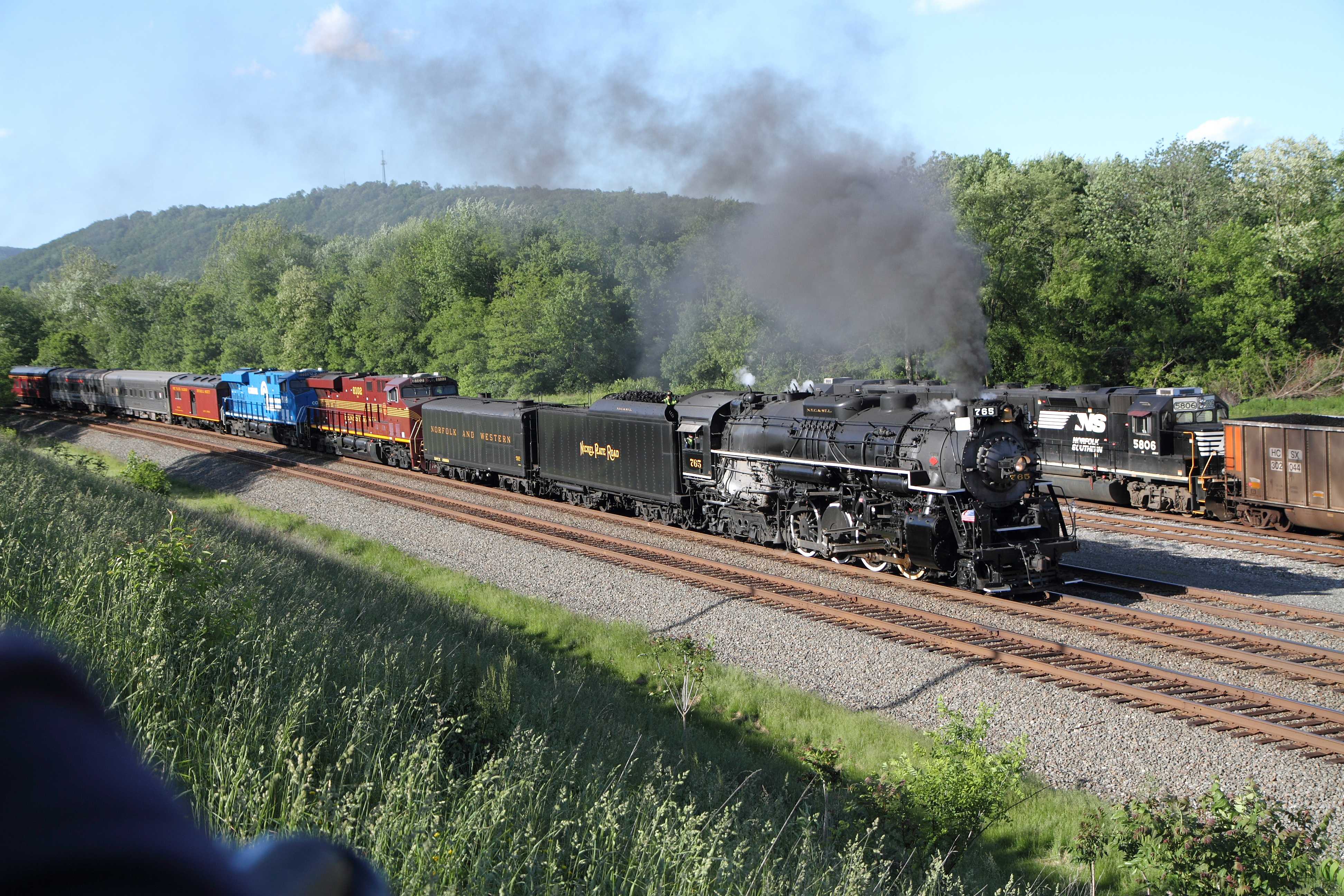
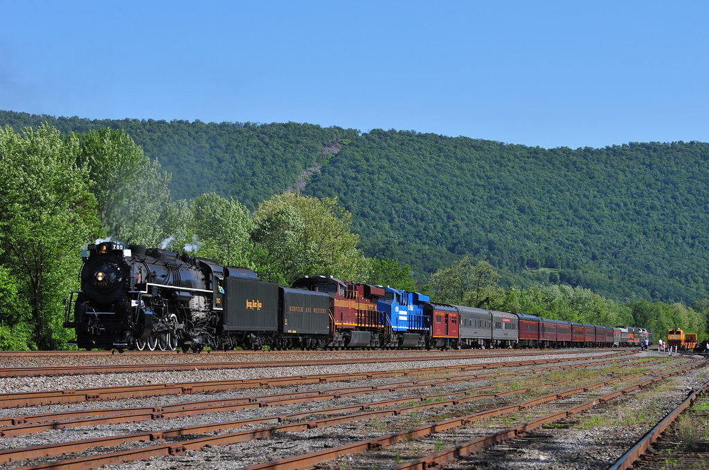
NKP 2-8-4 765, PRR ES44AC-8102, CR ES44AC-8098 E/B 061 at Mifflin, PA
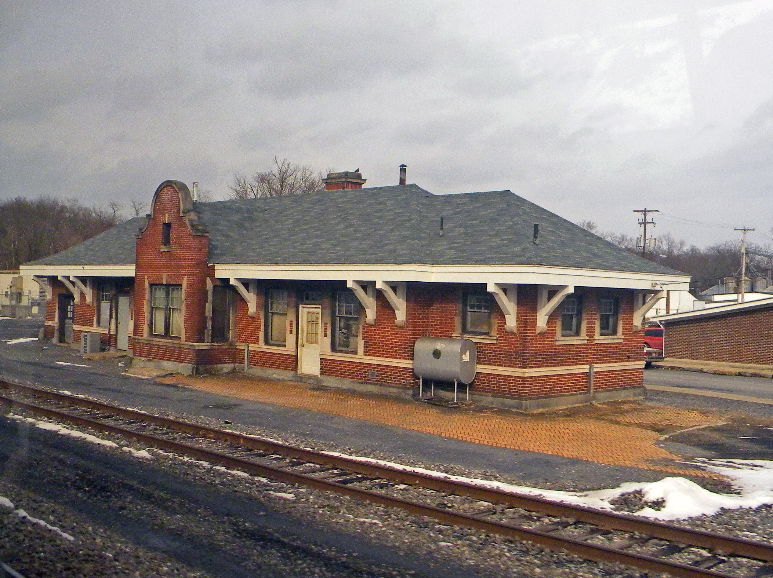
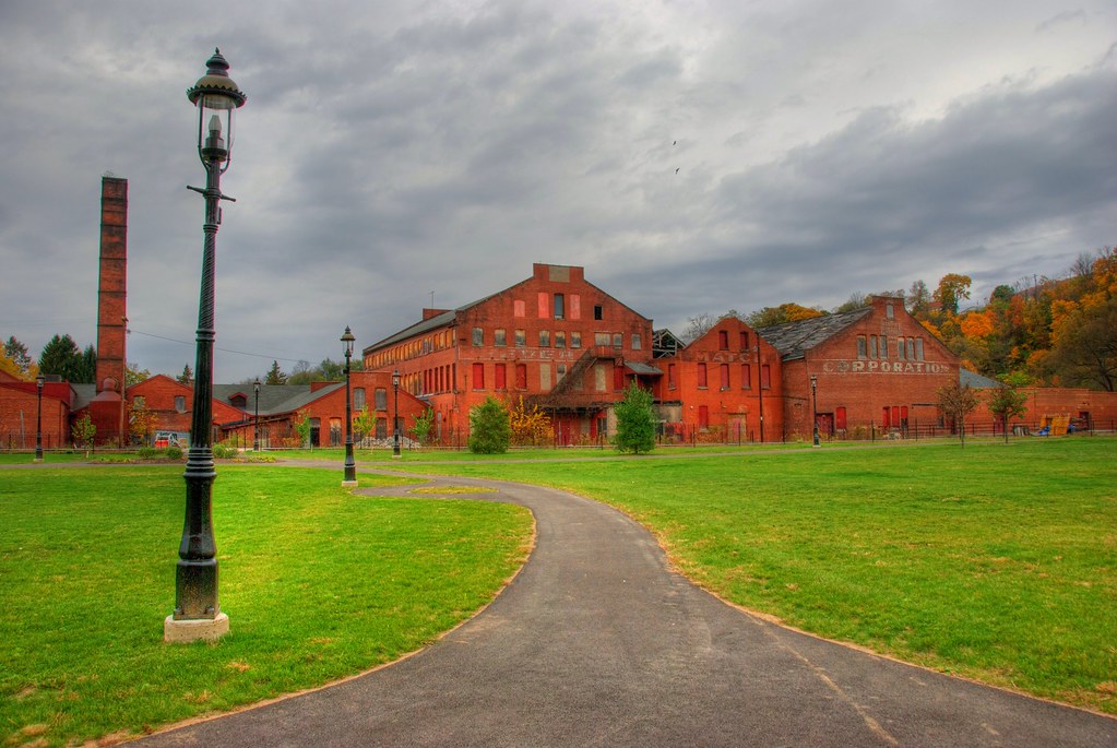
Pennsylvania: Mifflin: Pennsylvania Railroad Station
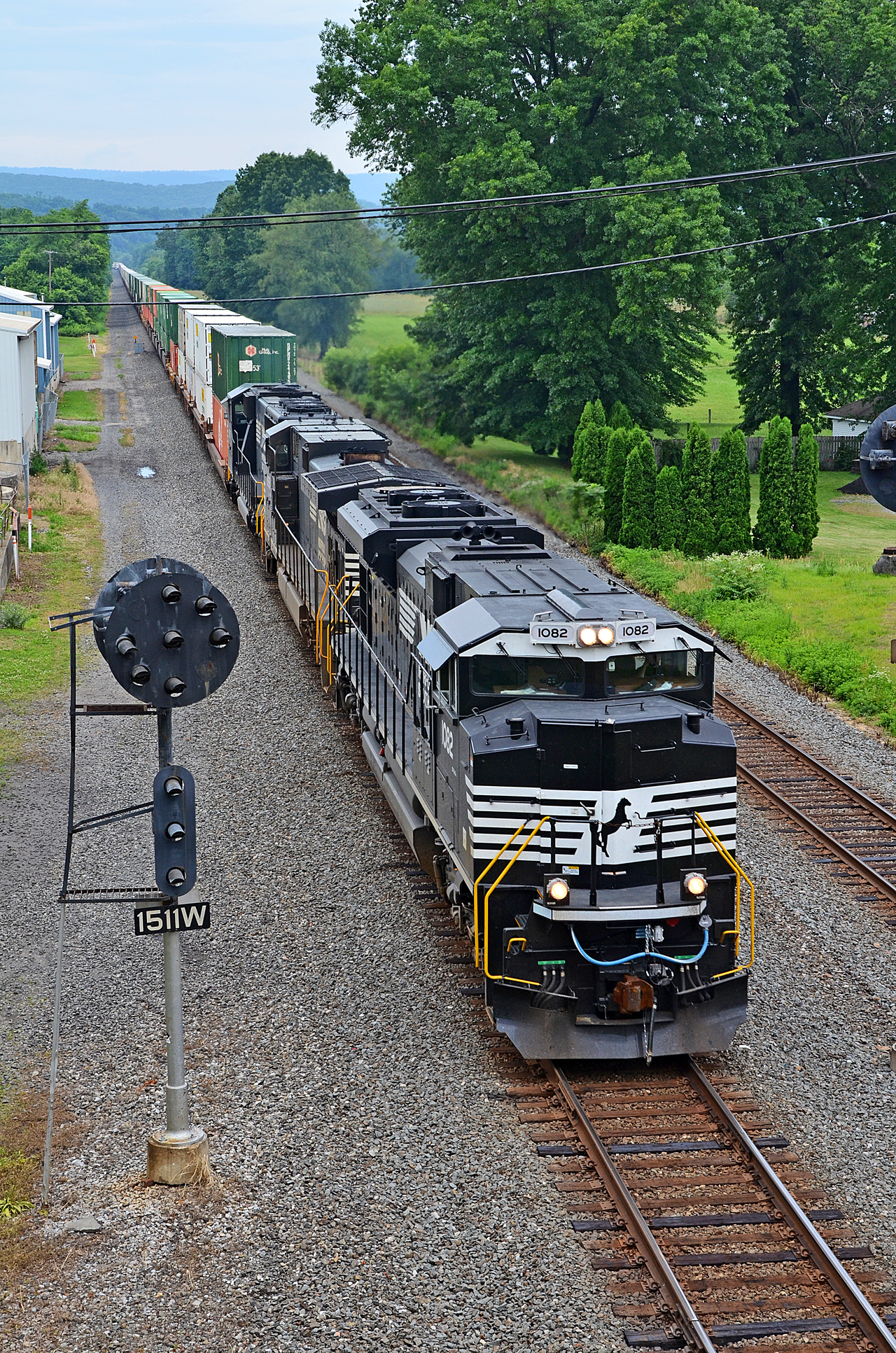
DIFFERENT VIEWS AT PORT ROYAL. NS SD70ACe-1082 E/B 20T at Port Royal, PA
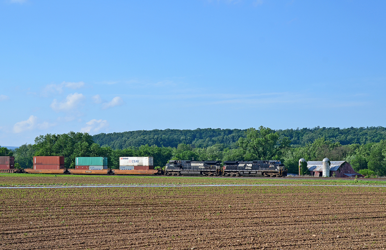
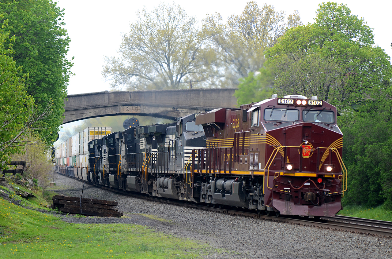
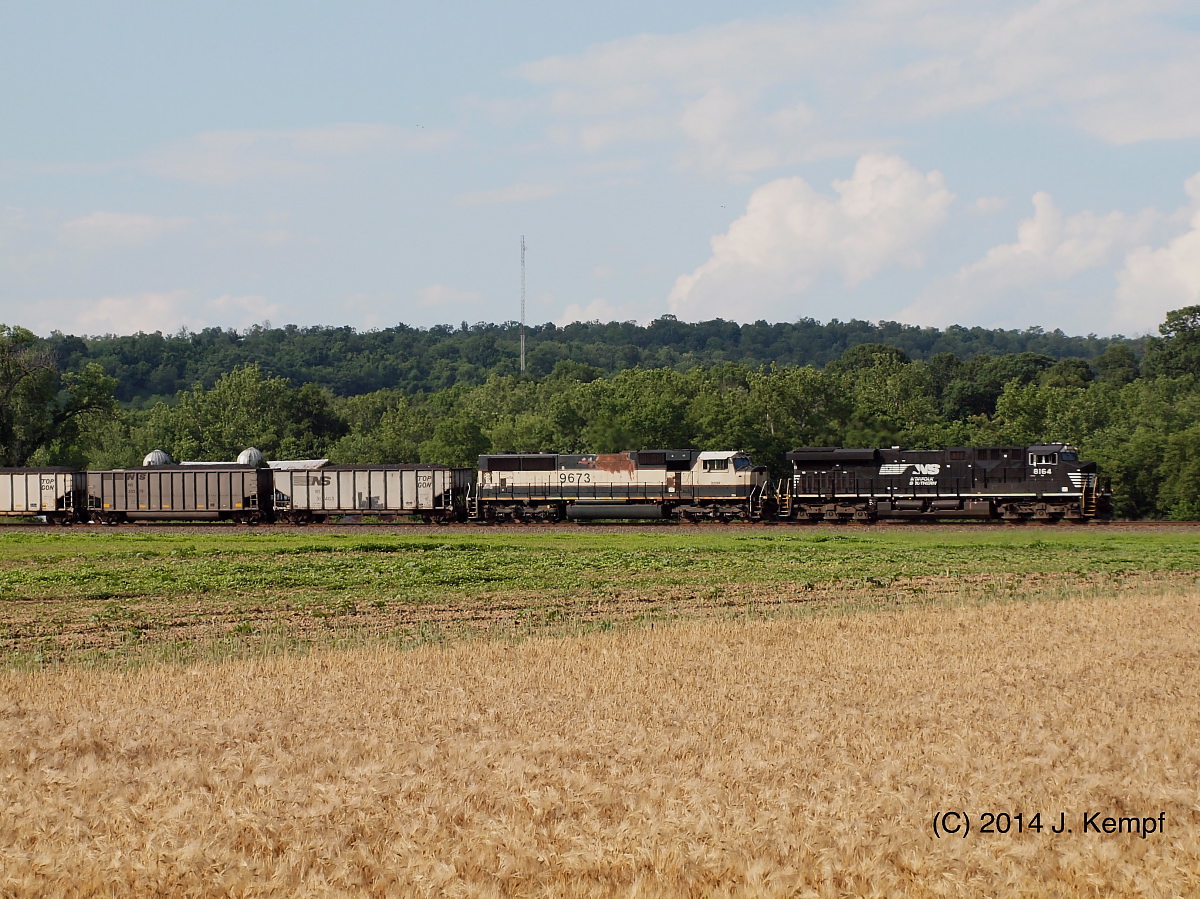
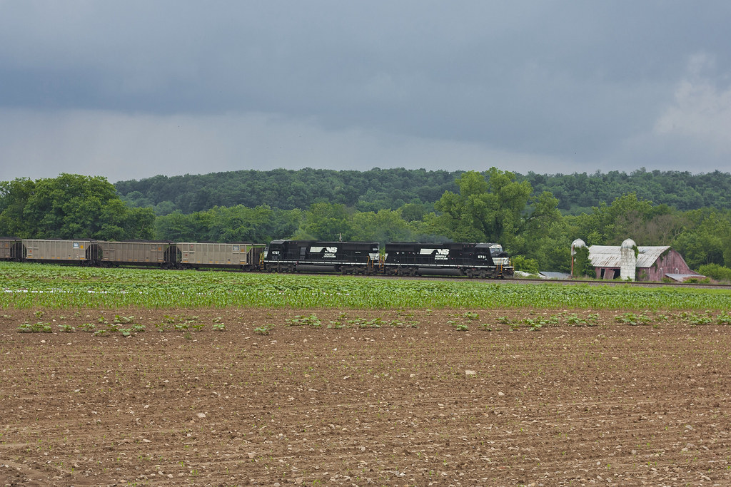
NS C40-9W-9839, 8963 E/B 20W at Mexico, PA
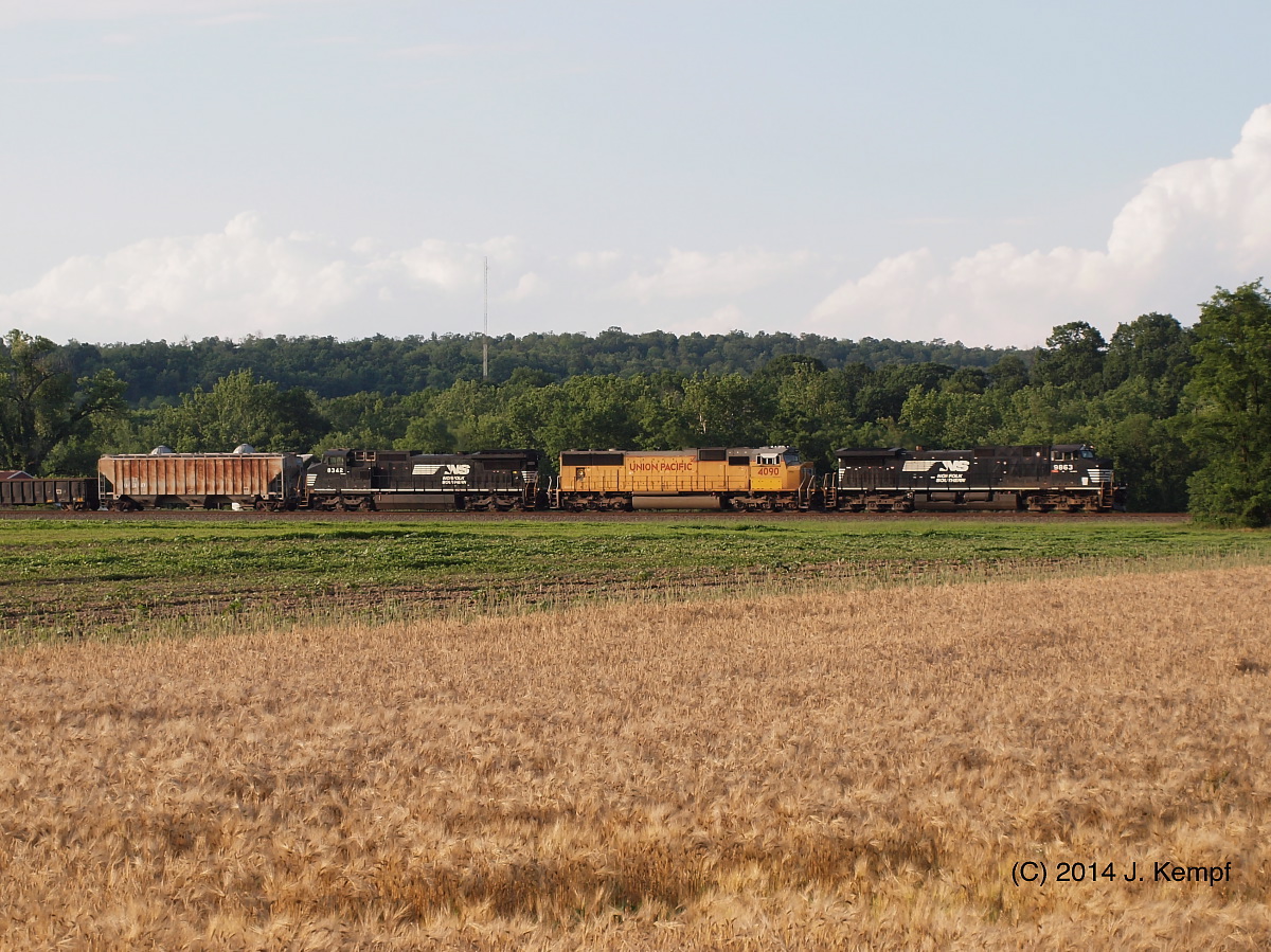
Three Wise Guys

Juniata River
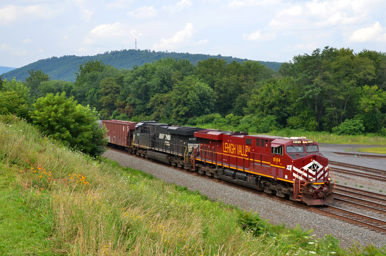
2015 07-26 1536 LV ES44AC-8104 E/B 66Z at Mifflin, PA
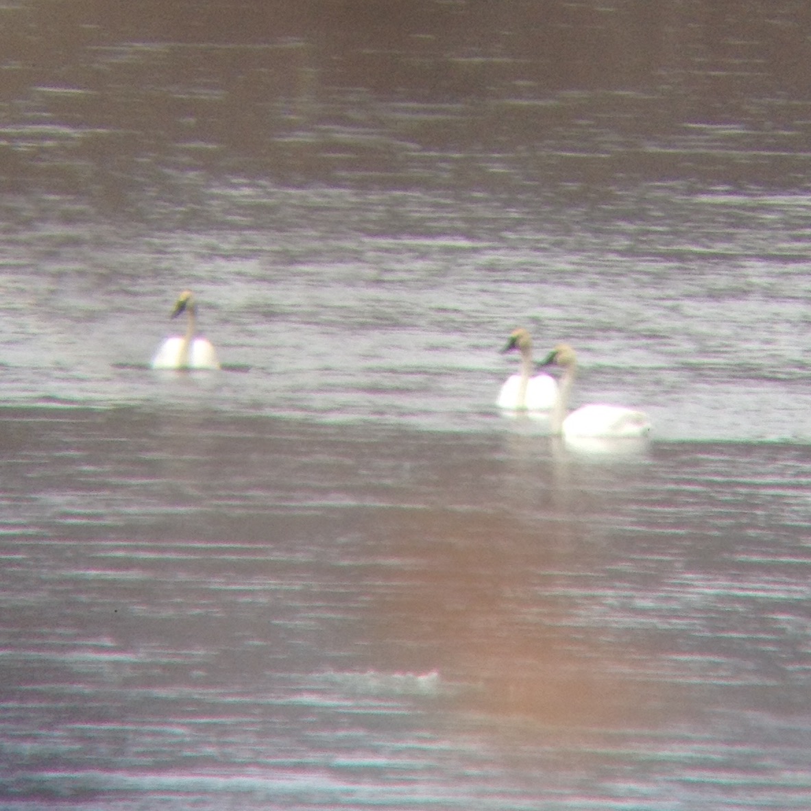
eBird Doc Shot: Trumpeter Swans

View upstream from the Stone Arch Bridge
#trains #travel

Jimsonweed Pod

Lookin' towards Lickin' Crick
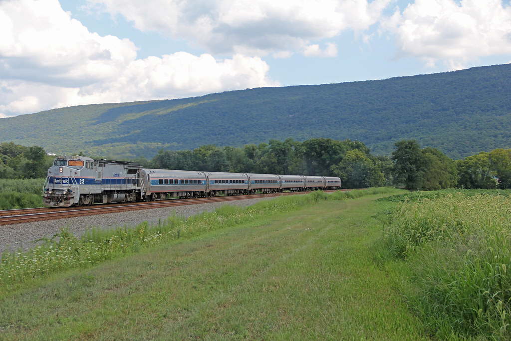
Amtrak at Mexico

Near McAlisterville, Pa.
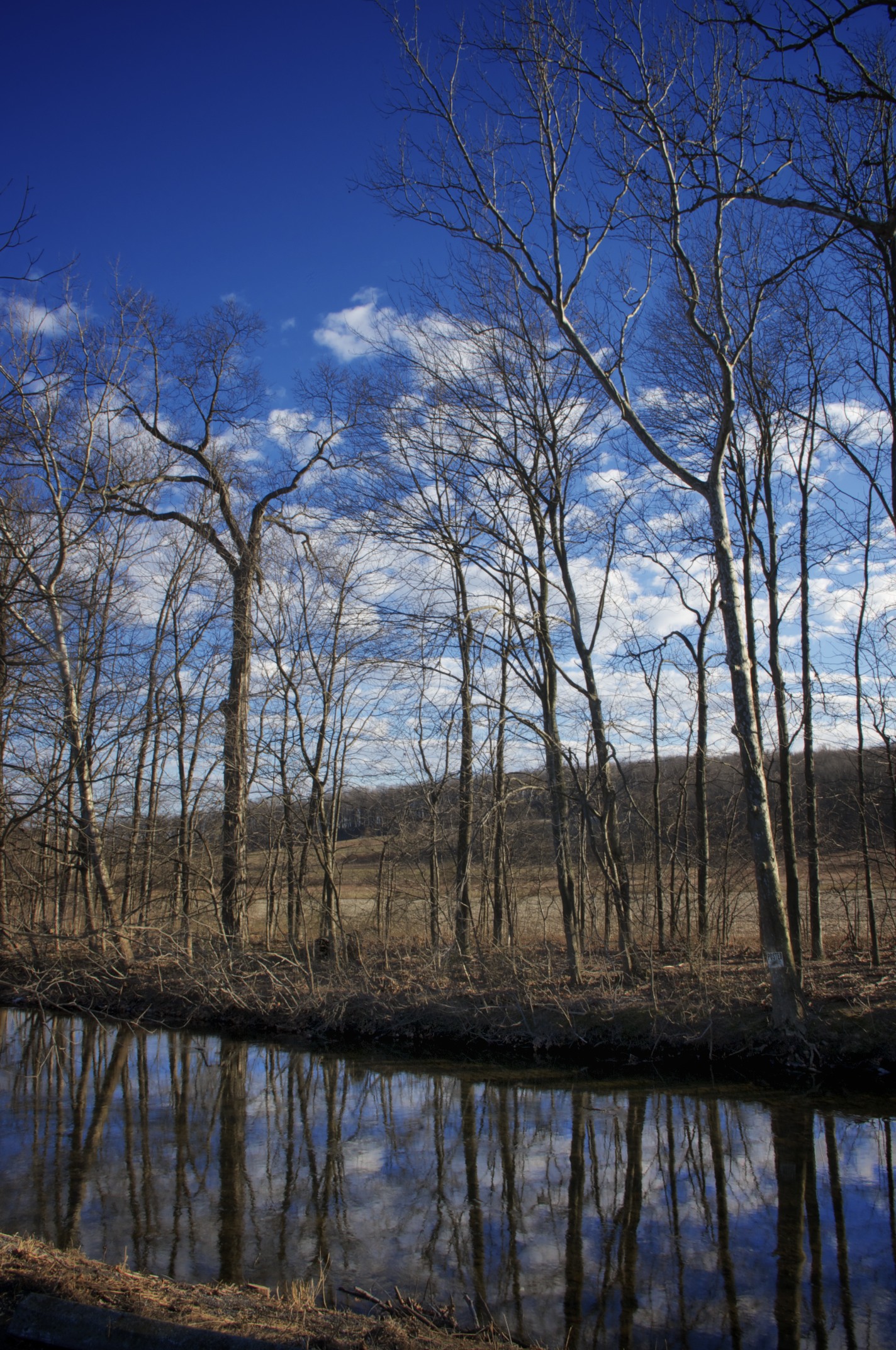
Creek Reflection
NS 568. June 22, 2014
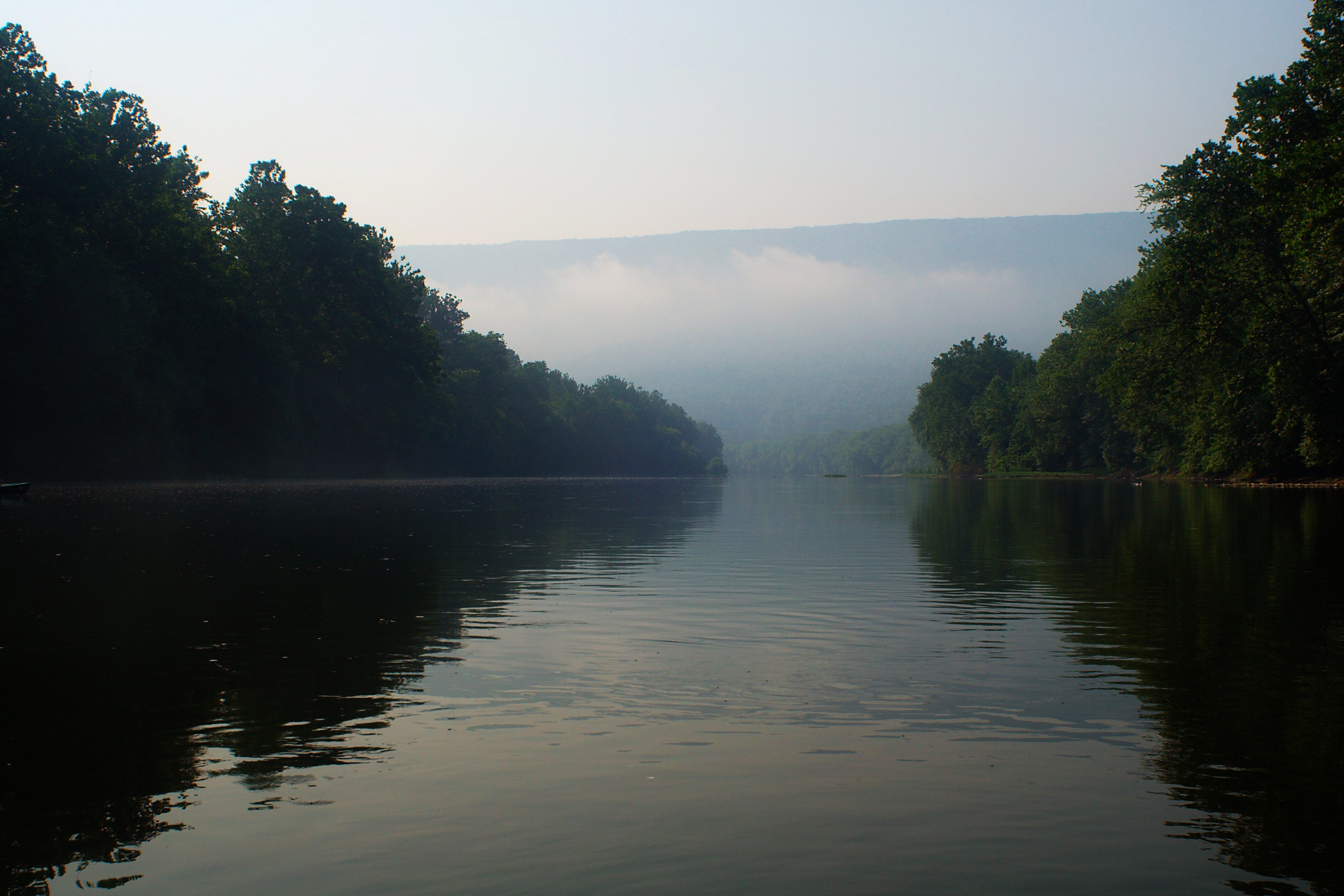
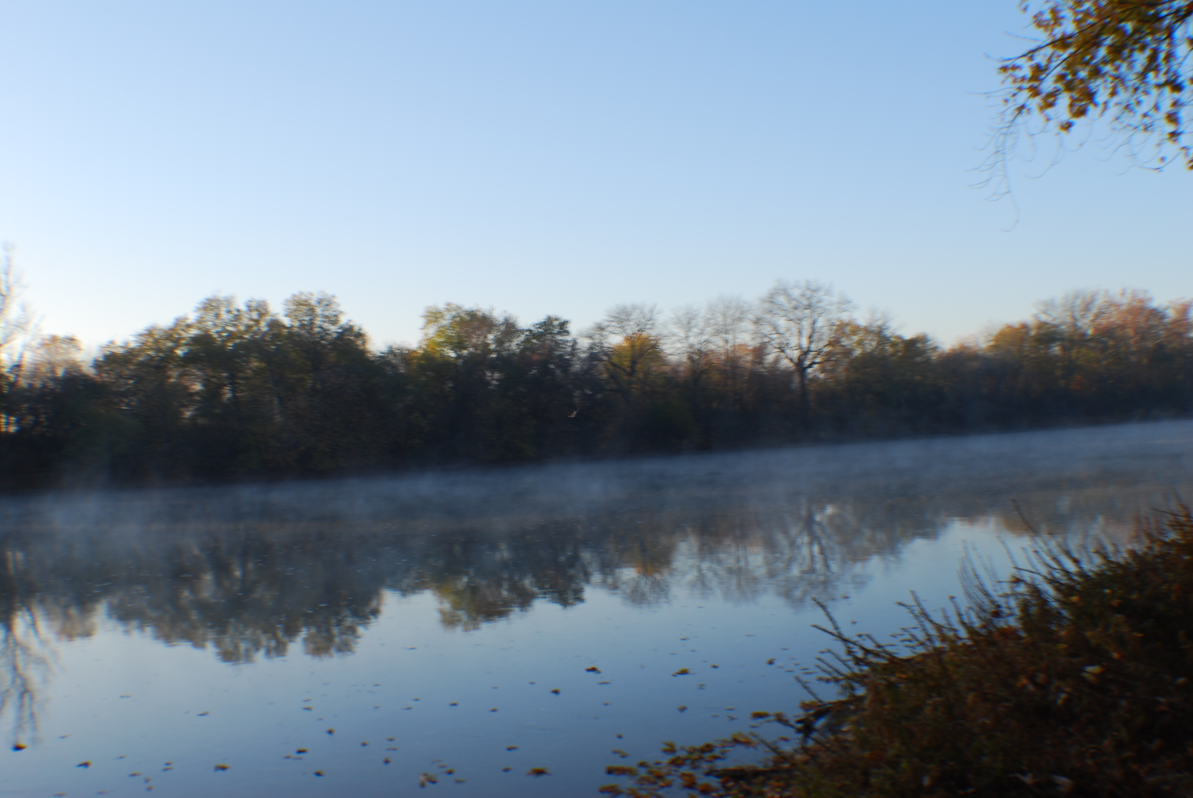
Juniata Morning
NS 16N. June 22, 2013
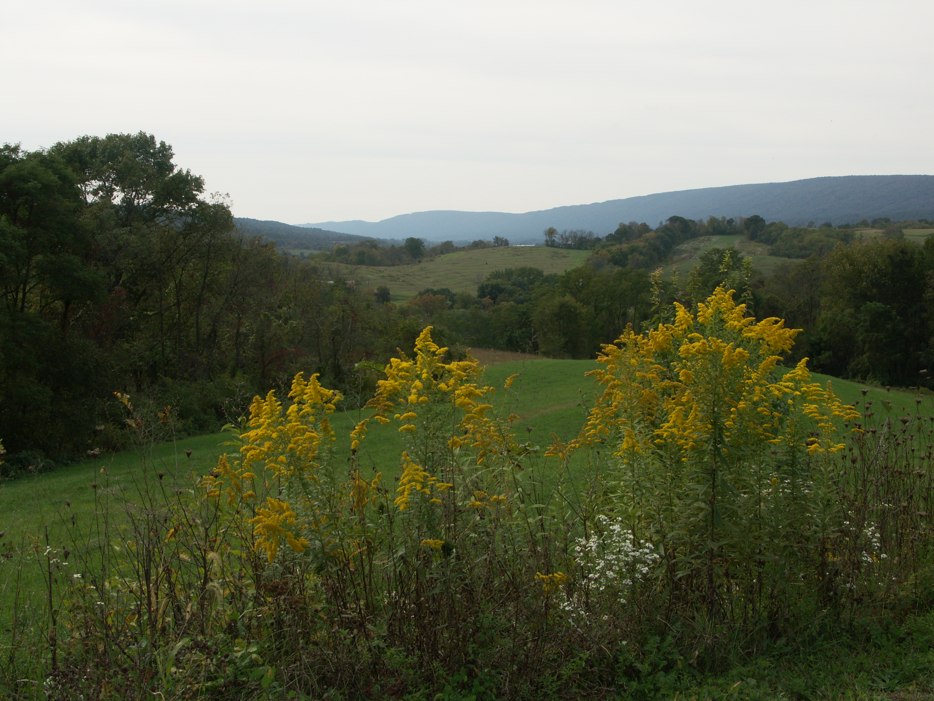
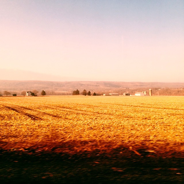
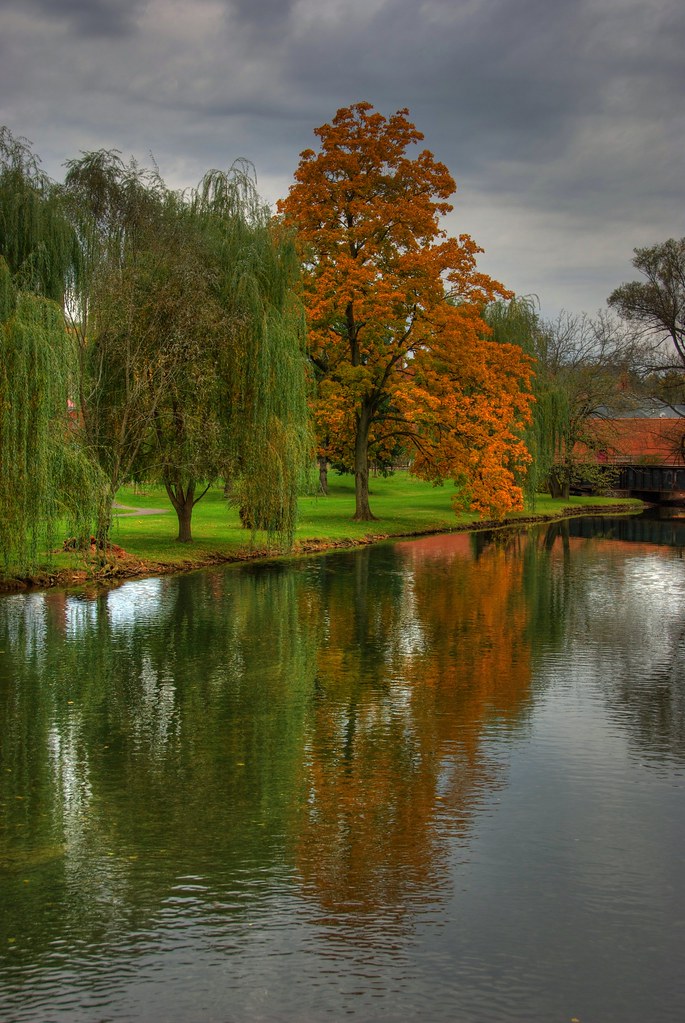
Fall landscape, Juniata County
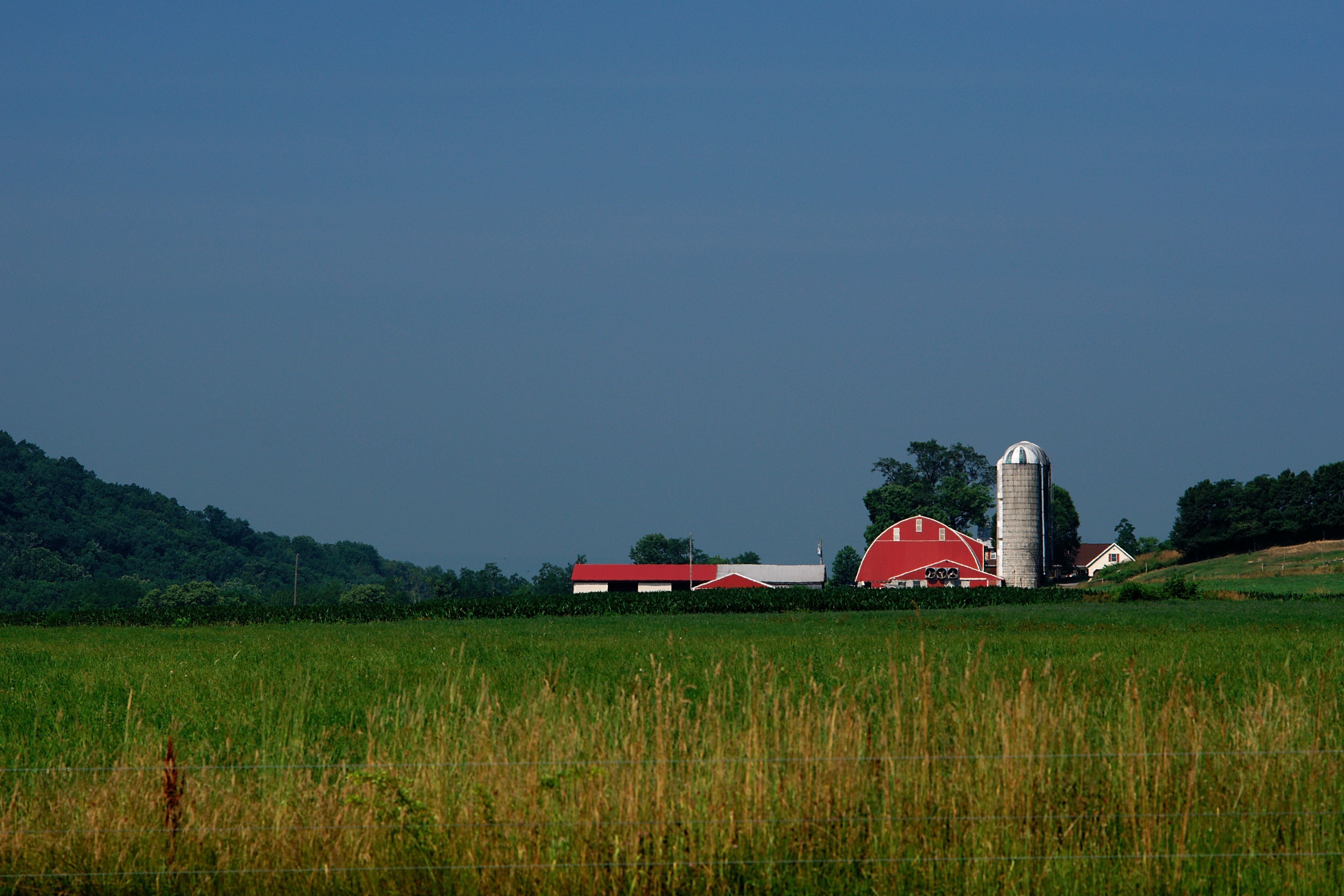
Farm in the Valley
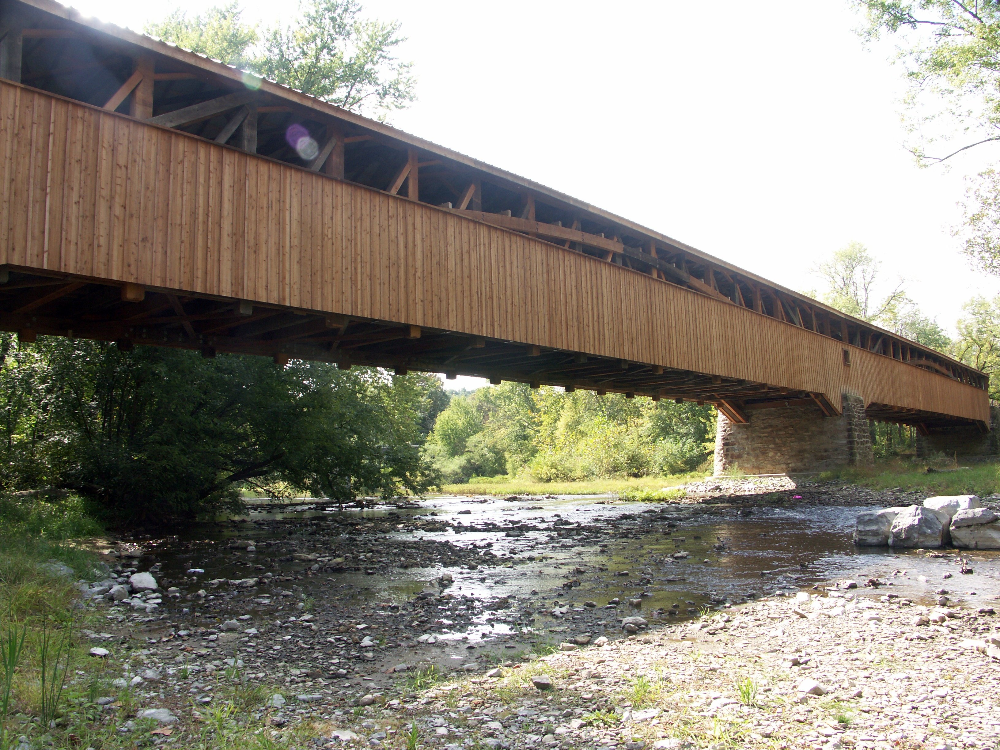
Academia-Pomeroy Covered Bridge
Stormy Skies

...and the hills go on forever
DSC_8073.JPG
HDR fall
Match maker
Loafing into Lewistown
Topographic Map of Juniata County, PA, USA
Find elevation by address:

Places in Juniata County, PA, USA:
Turbett Township
Mifflin
Tuscarora Township
Fermanagh Township
Monroe Township
Lack Township
Fayette Township
Spruce Hill Township
Turkey Valley Rd, Liverpool, PA, USA
PA-75, Port Royal, PA, USA
9 William Penn Hwy, Thompsontown, PA, USA
Thompsontown
Places near Juniata County, PA, USA:
57 Longview Dr
110 Licking St
Mifflin
Mifflintown
909 Main St
Port Royal
12 1st St
12 1st St
42 1st St
Turbett Township
Pame Construction Inc
495 Promise Land Dr
PA-75, Port Royal, PA, USA
418 Crabapple Ln
Spruce Hill Township
Jefferies Lane
Raccoon Valley Road, Ickesburg, PA, USA
Ickesburg
223 Tuscarora Path
Saville Township
Recent Searches:
- Elevation of Corso Fratelli Cairoli, 35, Macerata MC, Italy
- Elevation of Tallevast Rd, Sarasota, FL, USA
- Elevation of 4th St E, Sonoma, CA, USA
- Elevation of Black Hollow Rd, Pennsdale, PA, USA
- Elevation of Oakland Ave, Williamsport, PA, USA
- Elevation of Pedrógão Grande, Portugal
- Elevation of Klee Dr, Martinsburg, WV, USA
- Elevation of Via Roma, Pieranica CR, Italy
- Elevation of Tavkvetili Mountain, Georgia
- Elevation of Hartfords Bluff Cir, Mt Pleasant, SC, USA