Elevation of Turkey Valley Rd, Liverpool, PA, USA
Location: United States > Pennsylvania > Juniata County >
Longitude: -77.00575
Latitude: 40.634042
Elevation: 147m / 482feet
Barometric Pressure: 100KPa
Elevation Map:
Satellite Map:
Related Photos:
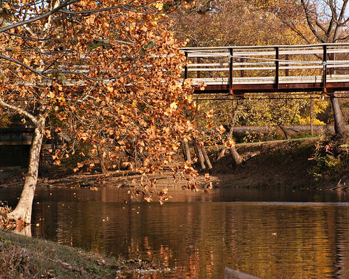
Autumn at the Swinging Bridge

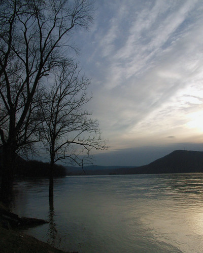
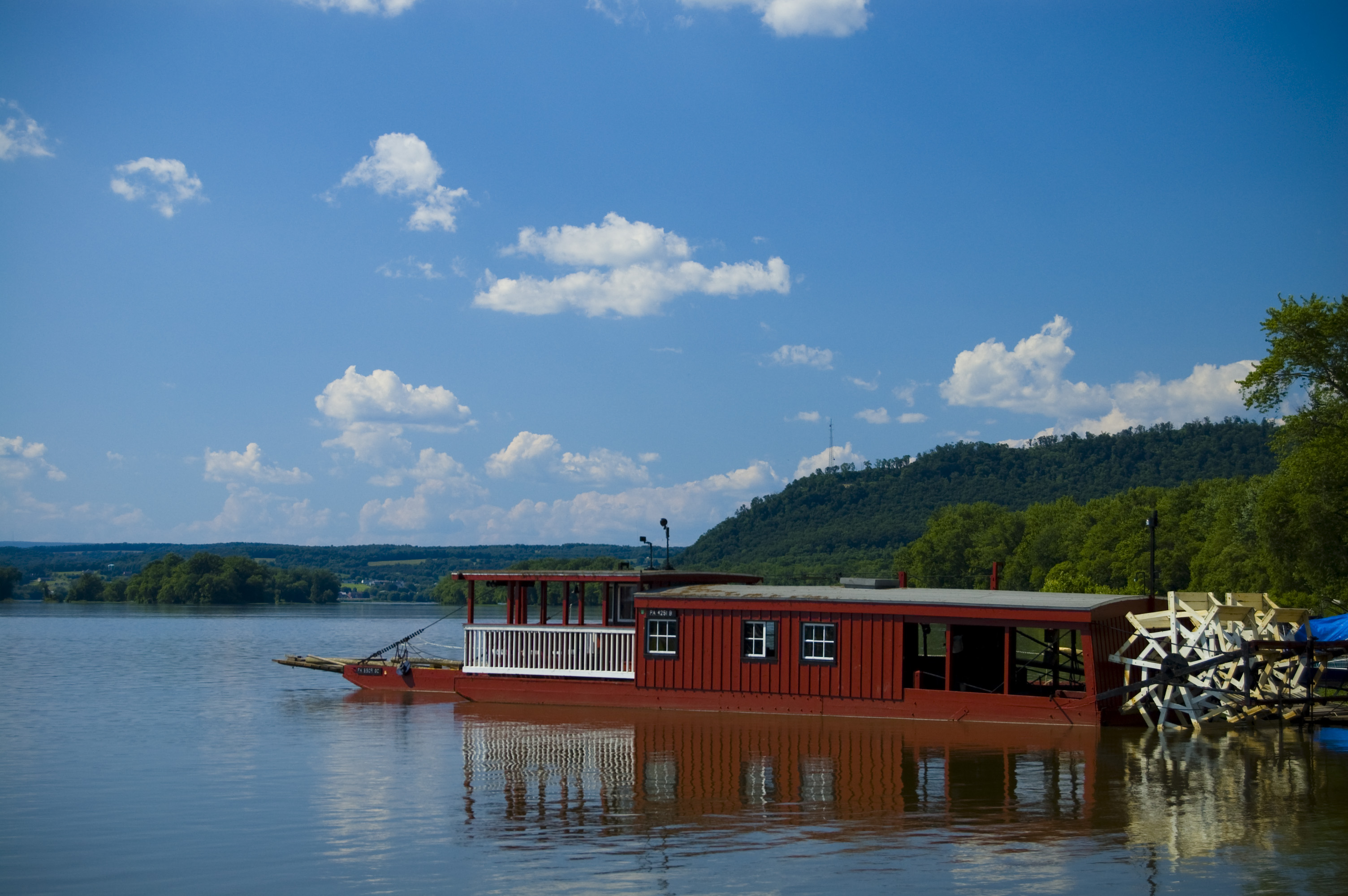
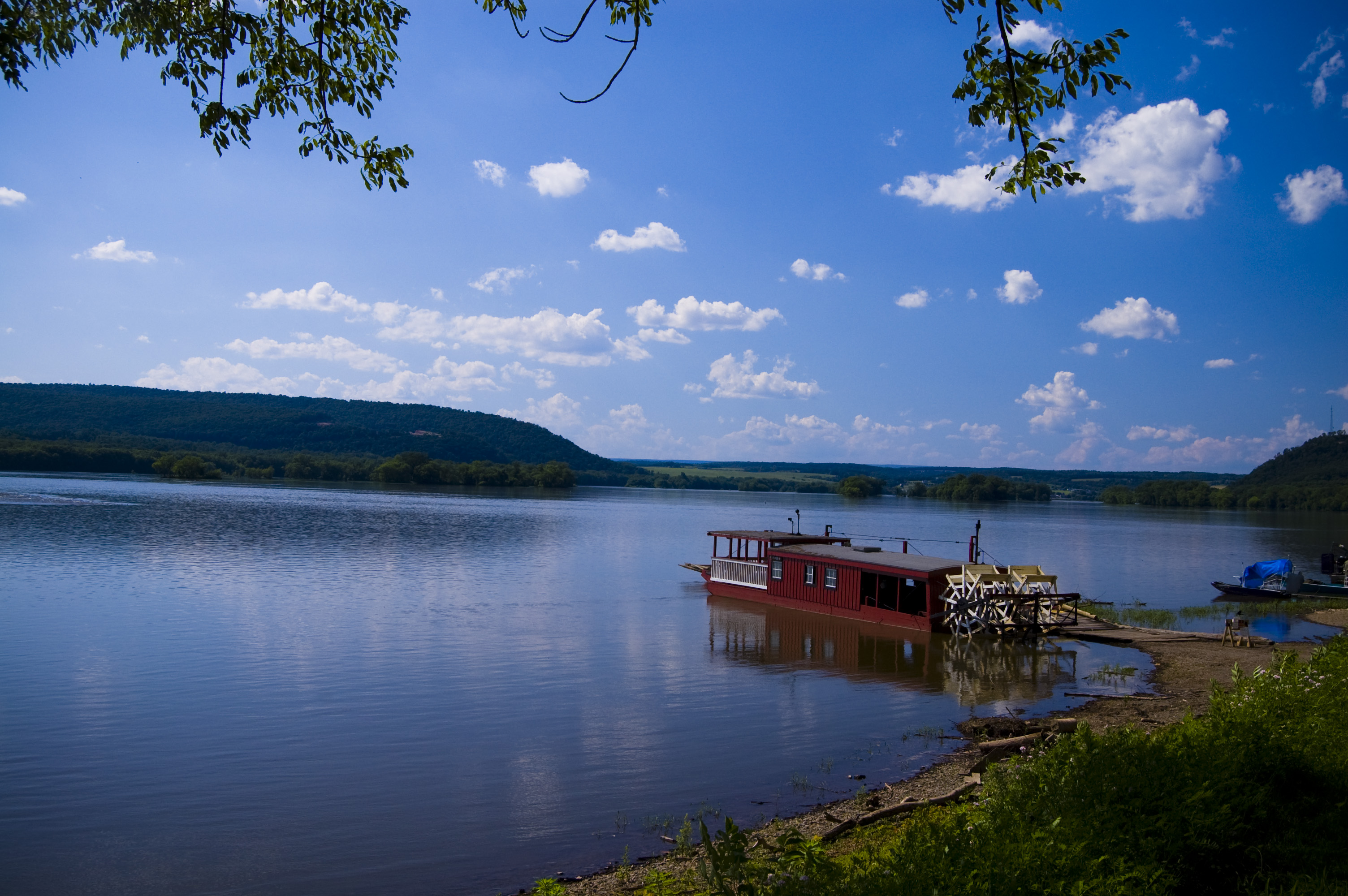
A view of the Susquehanna from the Millersburg Ferry.
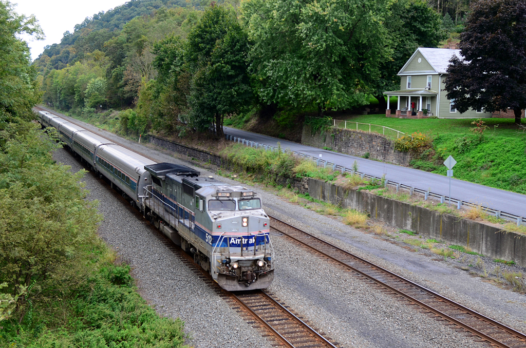
HOUSE WITH A VIEW: AMTK P32-8-512 W/B 43 The Pennsylvanian at Millerstown, PA
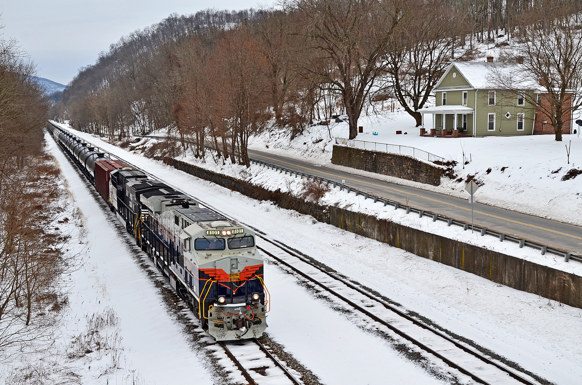
C of G ES44AC-8101 W/B 65R at Millerstown, PA
.

Hunters Valley Winery

Two Points of View, Same Sky

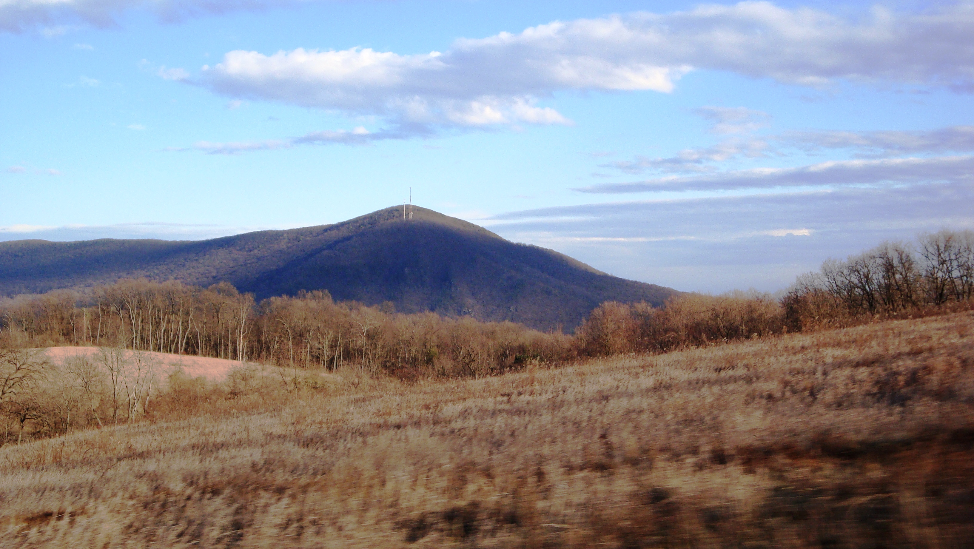
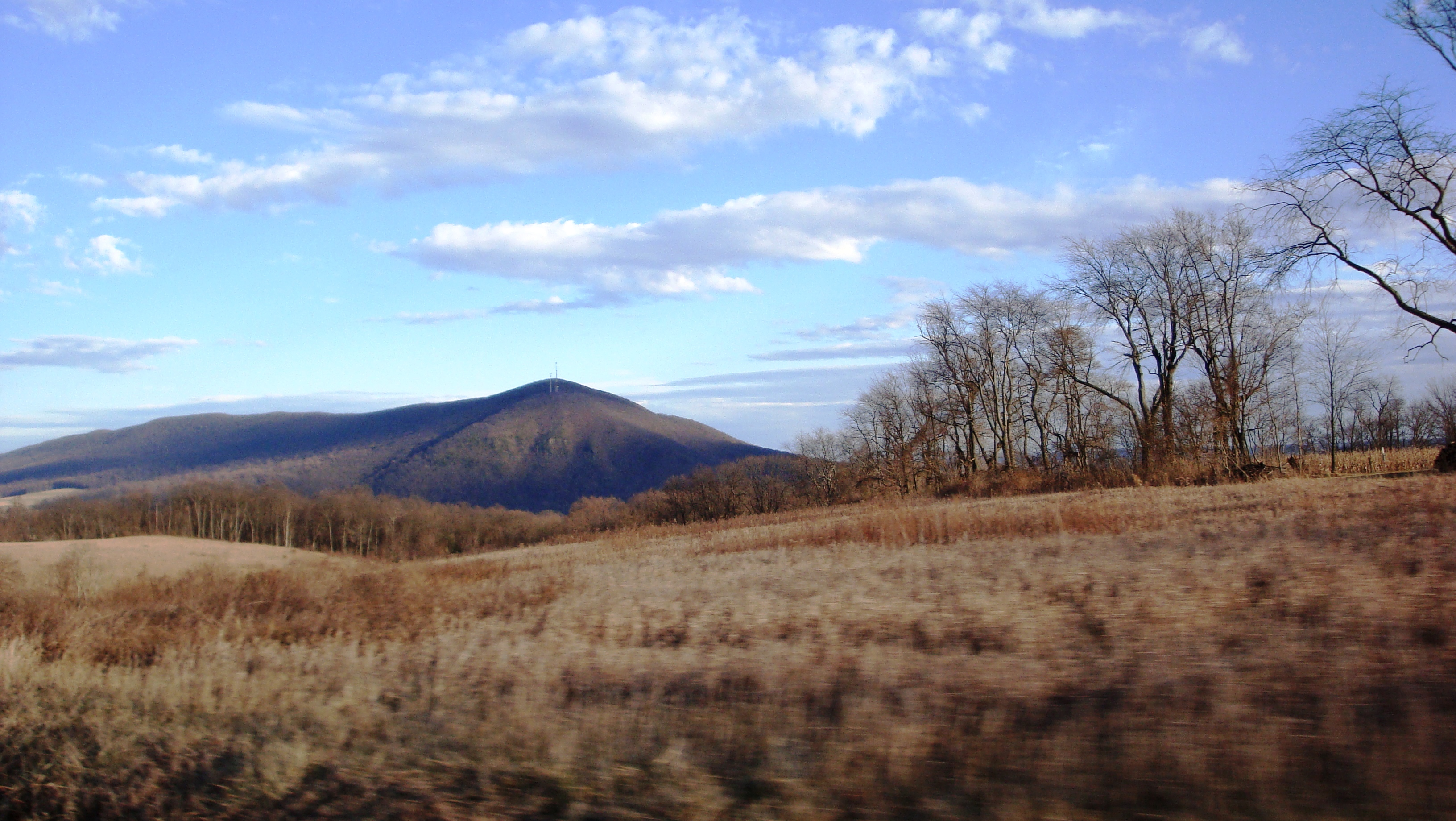
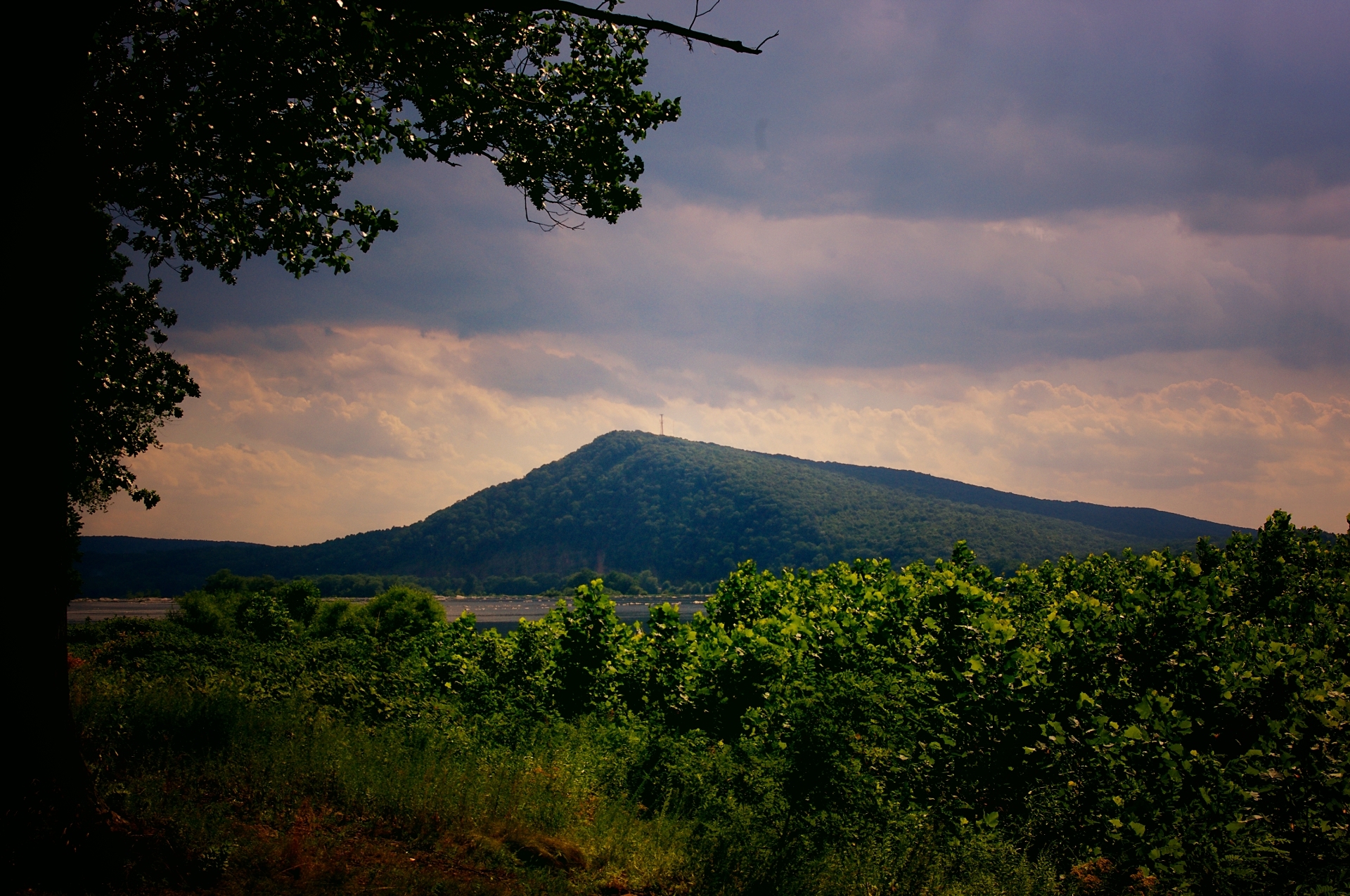
Berry Mountain
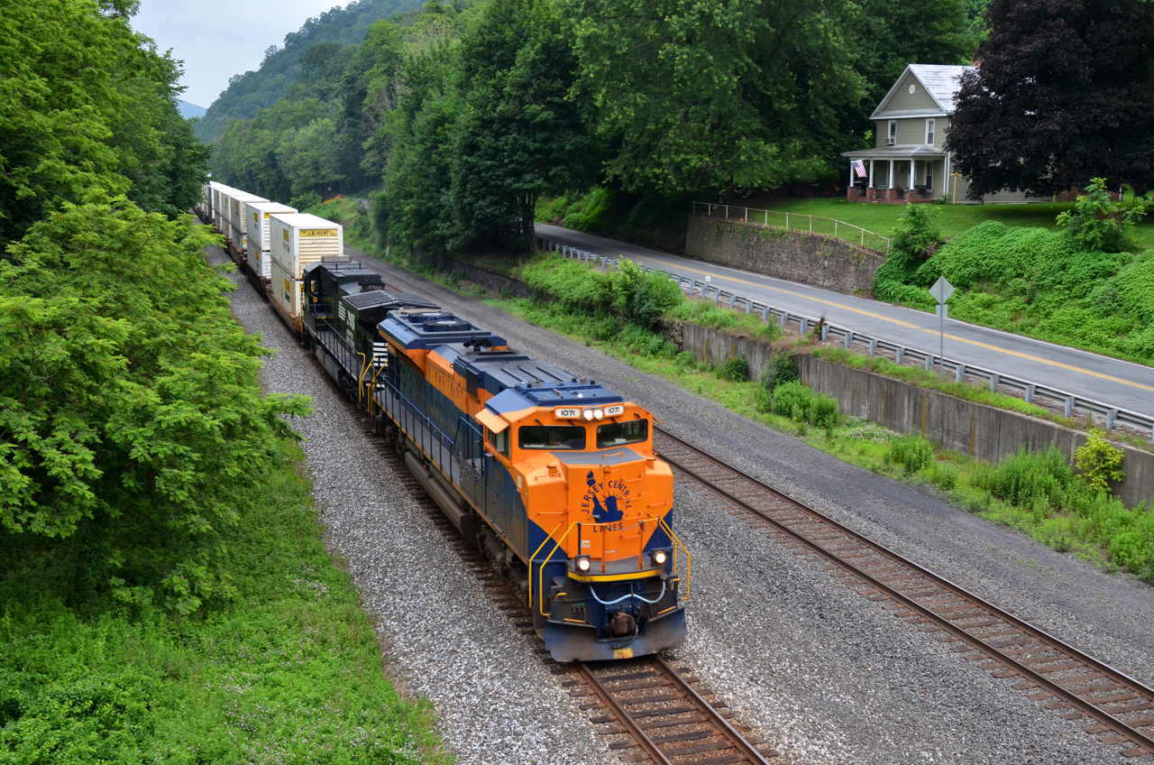
CNJ/NS SD70ACe-1071 W/B 21A at Millerstown, PA
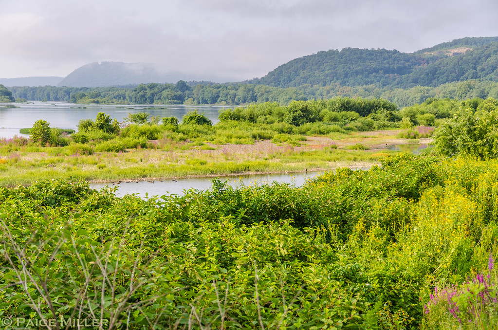
River Scene 1

Fire on the Water

Just Another Sunset
Vapor Trail on The Water
.
More Ferry
Cove of Green
.
Liverpool, PA
.
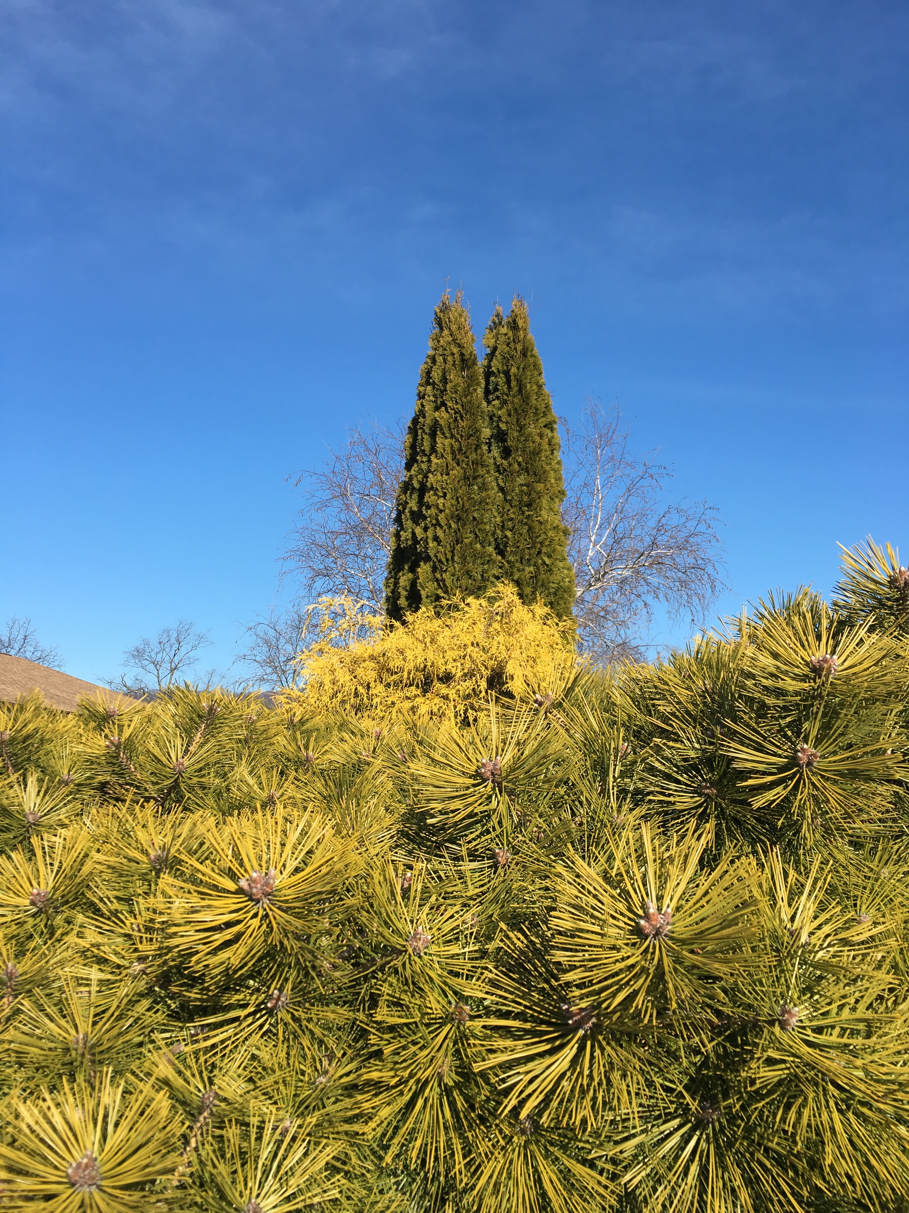
Conifers, Lodge at Lykens Valley, Millersburg, PA
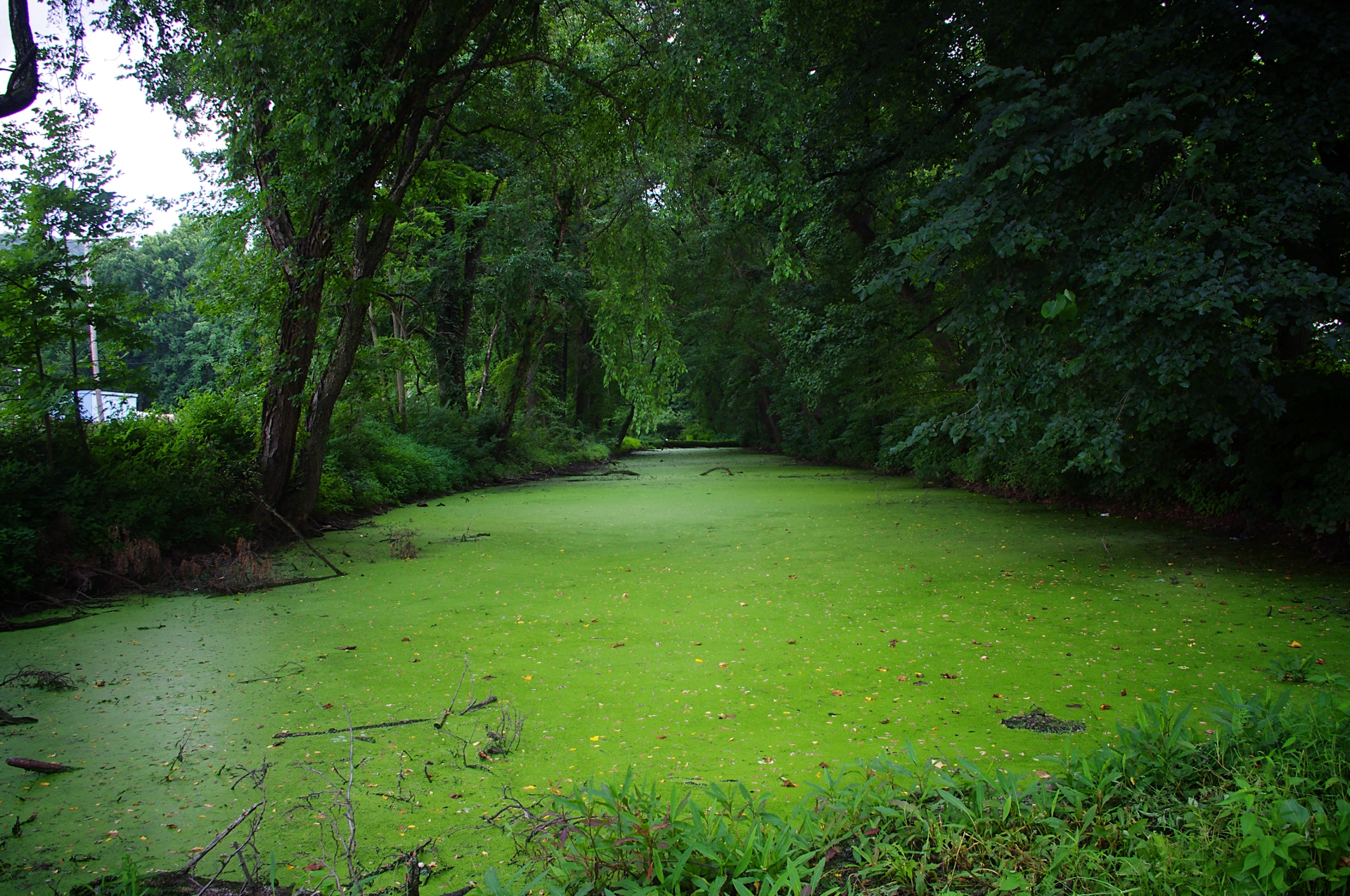
green water
Liverpool, PA
.
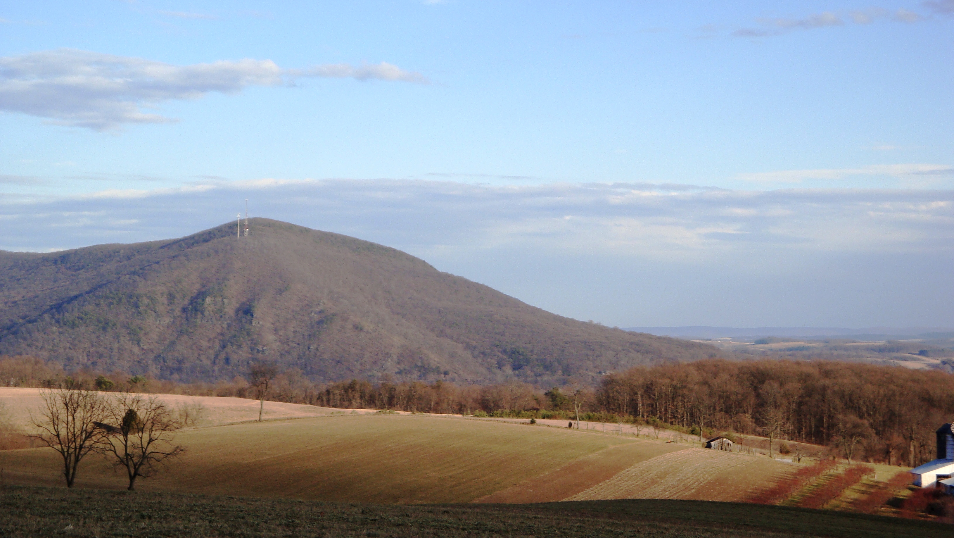
Berry Mountain

...More Air Boats
.
Even More Ferry
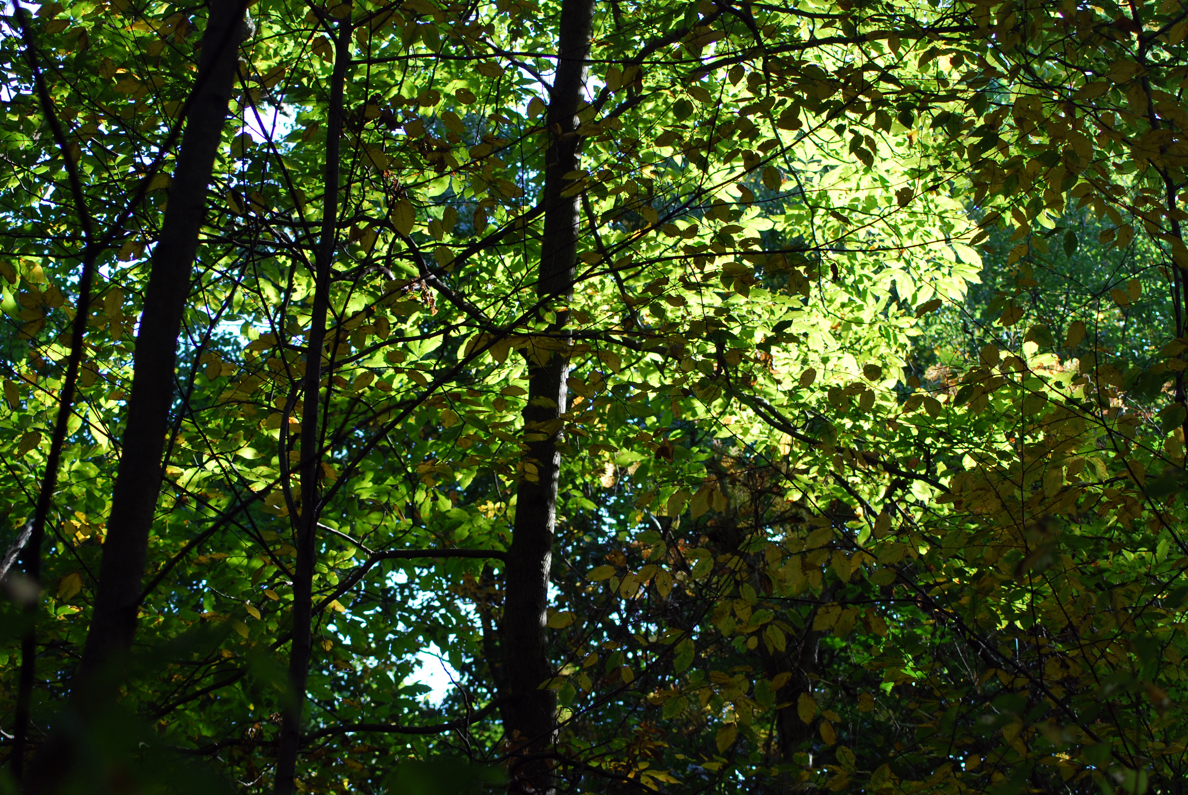
Sun Through The Leaves

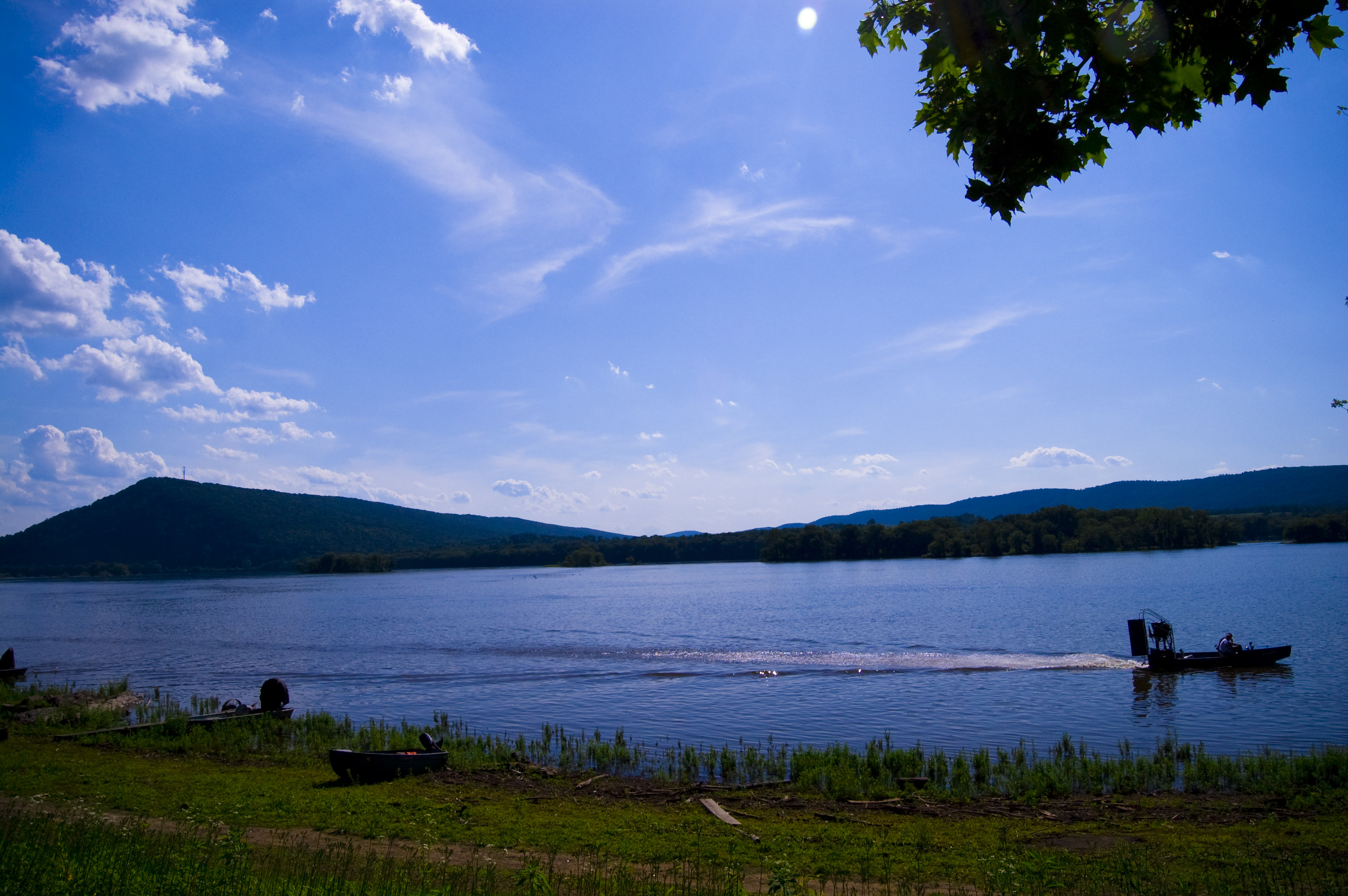
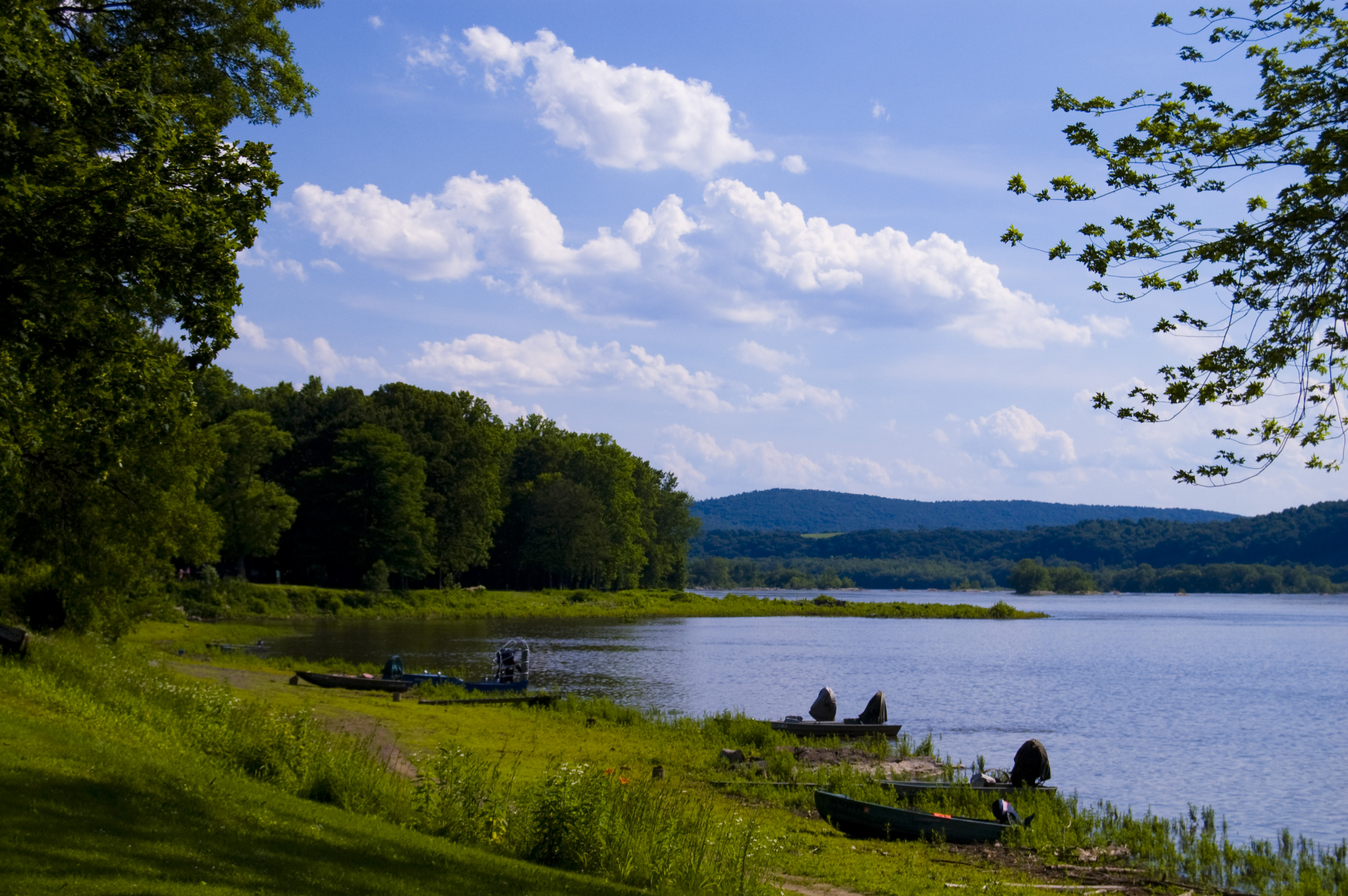
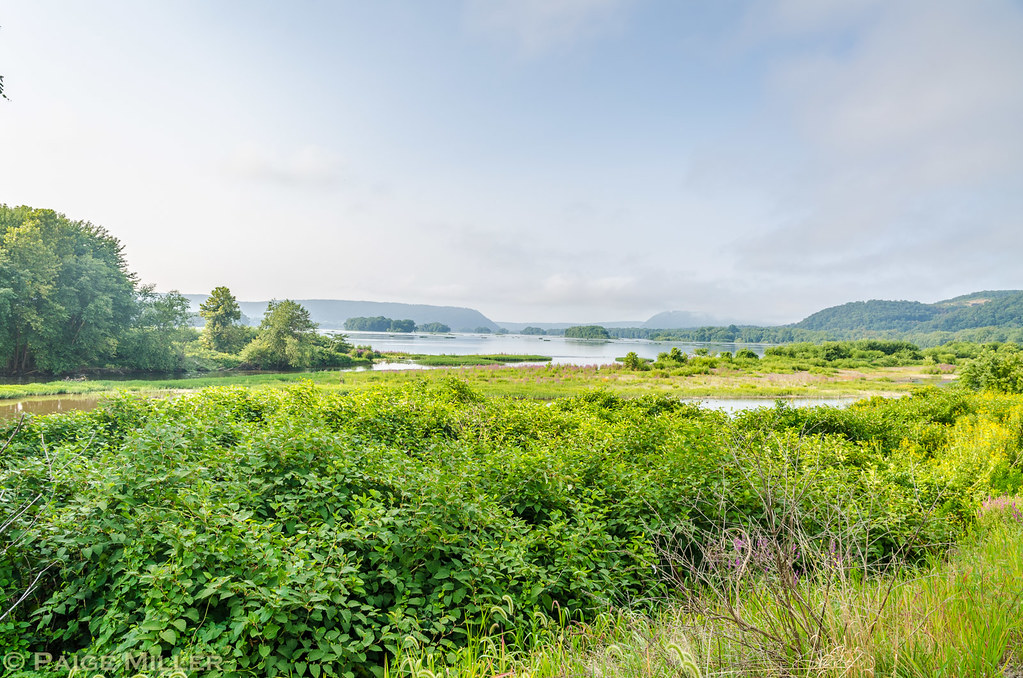
Juniata River
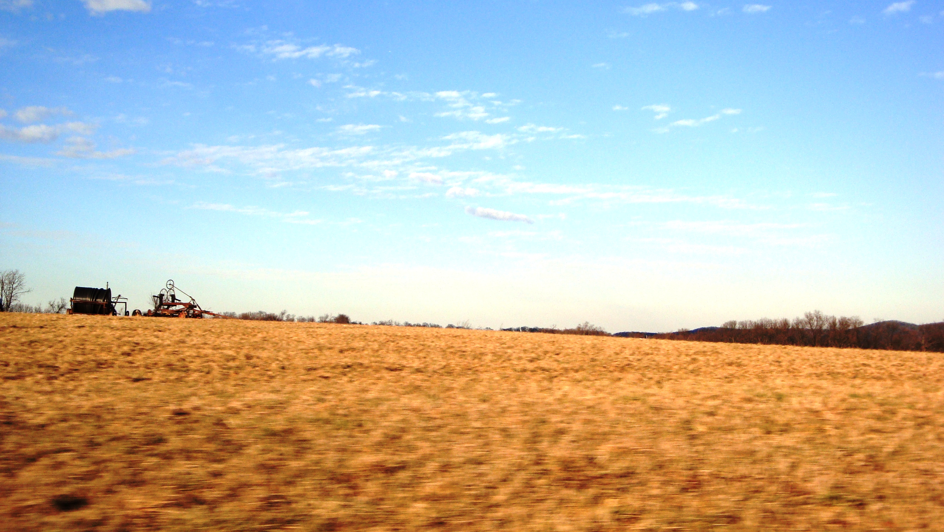
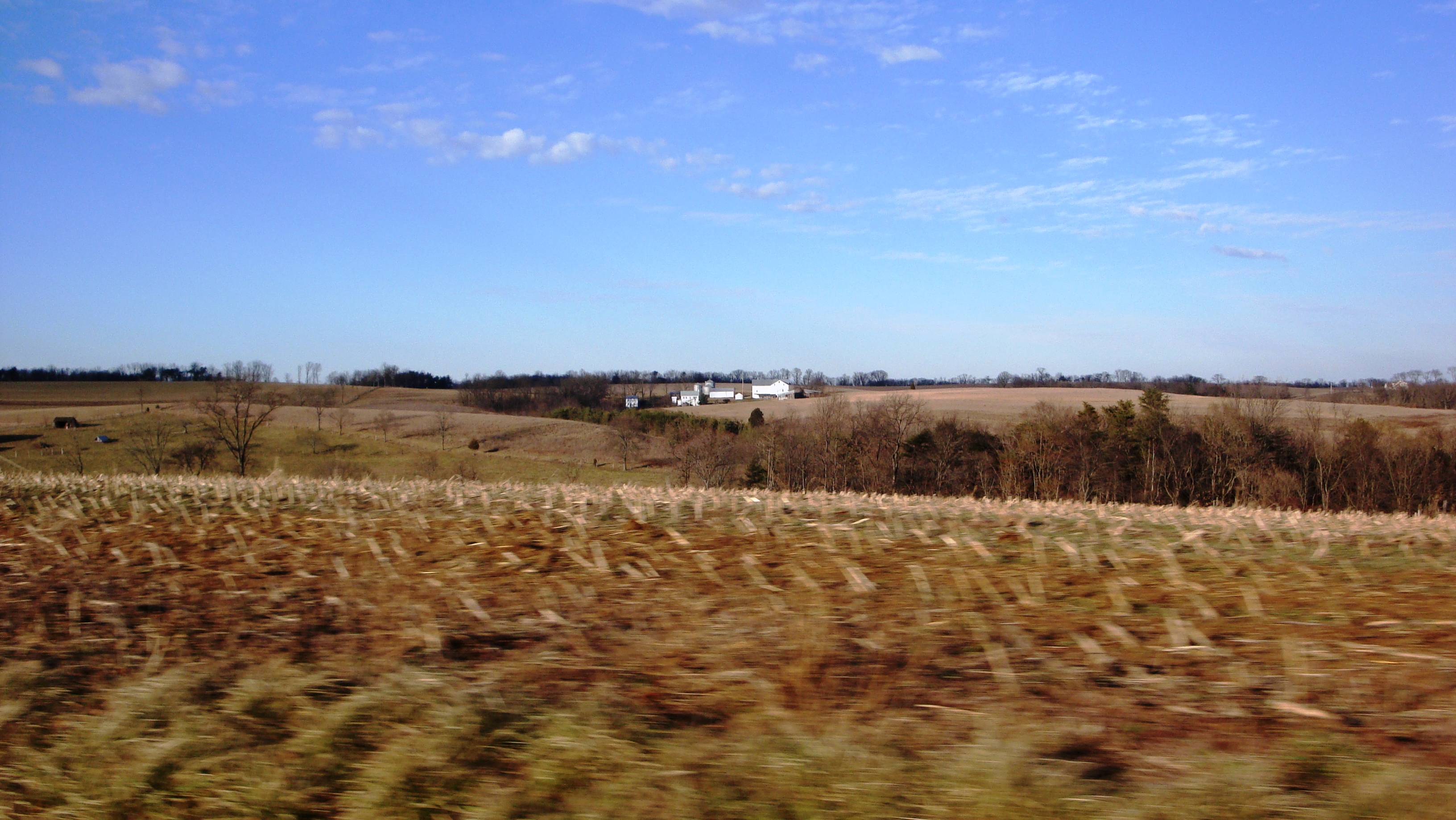
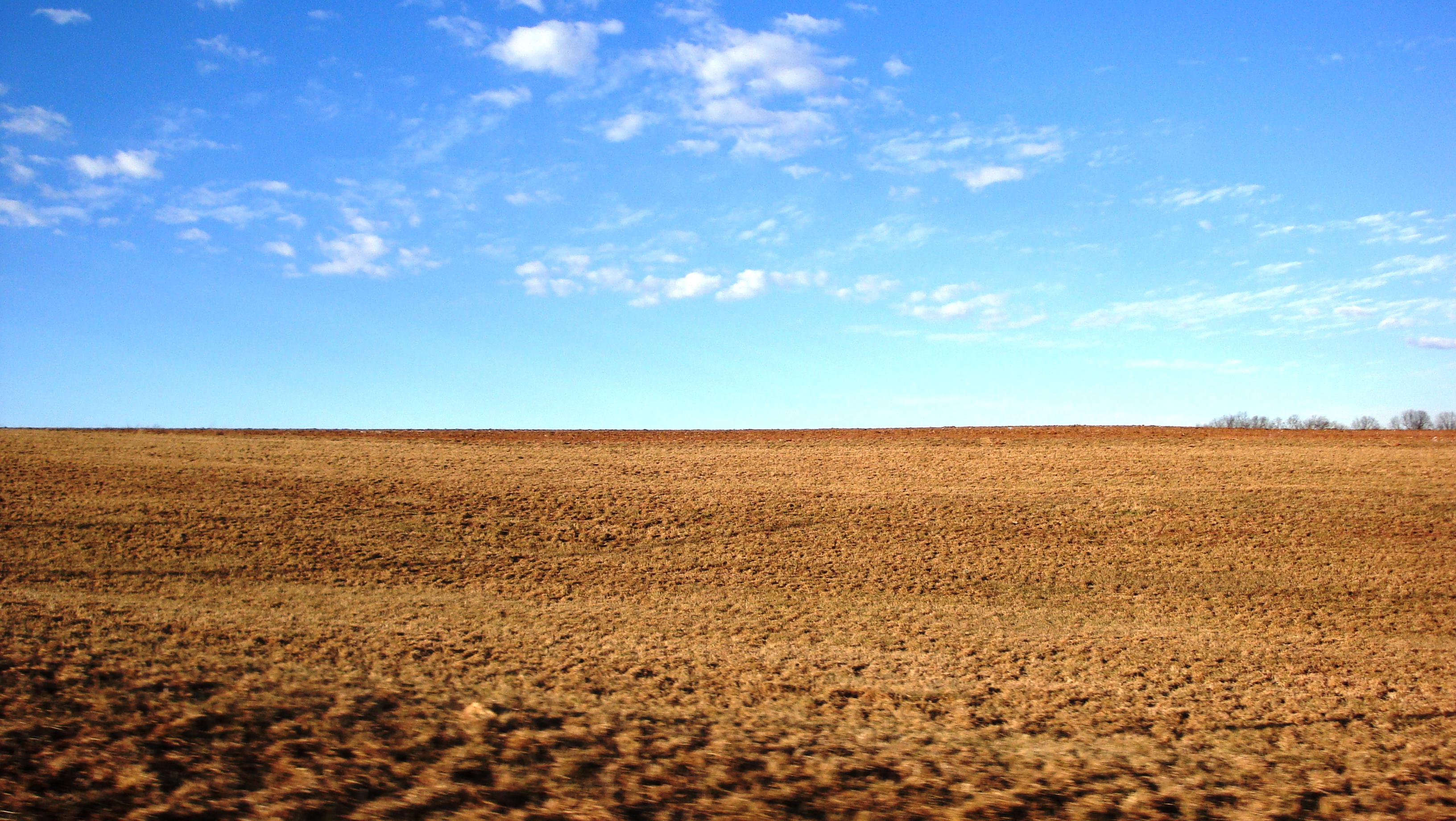
Farms outside of Paxton Area
Topographic Map of Turkey Valley Rd, Liverpool, PA, USA
Find elevation by address:

Places near Turkey Valley Rd, Liverpool, PA, USA:
Liverpool, PA, USA
Backus Woods Road
992 Susquehanna Trail
Liverpool Township
Perry Township
Liverpool
214 S Market St
54 Mahantango Rd, Liverpool, PA, USA
Mount Pleasant Mills
Ferryboat Campsites
398 Hunters Valley Rd
Upper Paxton Township
Market St, Millersburg, PA, USA
400 Cherry Road
Millersburg
303 Cherry St
303 Cherry St
303 Cherry St
Susanna St, Dalmatia, PA, USA
Dalmatia
Recent Searches:
- Elevation of Corso Fratelli Cairoli, 35, Macerata MC, Italy
- Elevation of Tallevast Rd, Sarasota, FL, USA
- Elevation of 4th St E, Sonoma, CA, USA
- Elevation of Black Hollow Rd, Pennsdale, PA, USA
- Elevation of Oakland Ave, Williamsport, PA, USA
- Elevation of Pedrógão Grande, Portugal
- Elevation of Klee Dr, Martinsburg, WV, USA
- Elevation of Via Roma, Pieranica CR, Italy
- Elevation of Tavkvetili Mountain, Georgia
- Elevation of Hartfords Bluff Cir, Mt Pleasant, SC, USA