Elevation of Mohammad Abad, Qazvin Province, Iran
Location: Iran > Qazvin Province >
Longitude: 50.2933717
Latitude: 36.4855586
Elevation: 1100m / 3609feet
Barometric Pressure: 89KPa
Elevation Map:
Satellite Map:
Related Photos:

دیکین - Dikin

دریاچه اوان - Evan Lake

دریاچه اوان - Evan Lake

دریاچه اوان - Evan Lake

دریاچه اوان - Evan Lake

THE ALAMUT VALLEY

EVANS LAKE

دریاچه اوان - Evan Lake

دریاچه اوان - Evan Lake

دریاچه اوان - Evan Lake

view from alamut

Alamut Valley

2008 Iran, Alamut Castle

دریاچه اوان - Evan Lake

Alamut Valley
Alamut Valley

Alamut Valley

Alamut Valley

BAHRAM ABAD VILLAGE

Alamut Valley

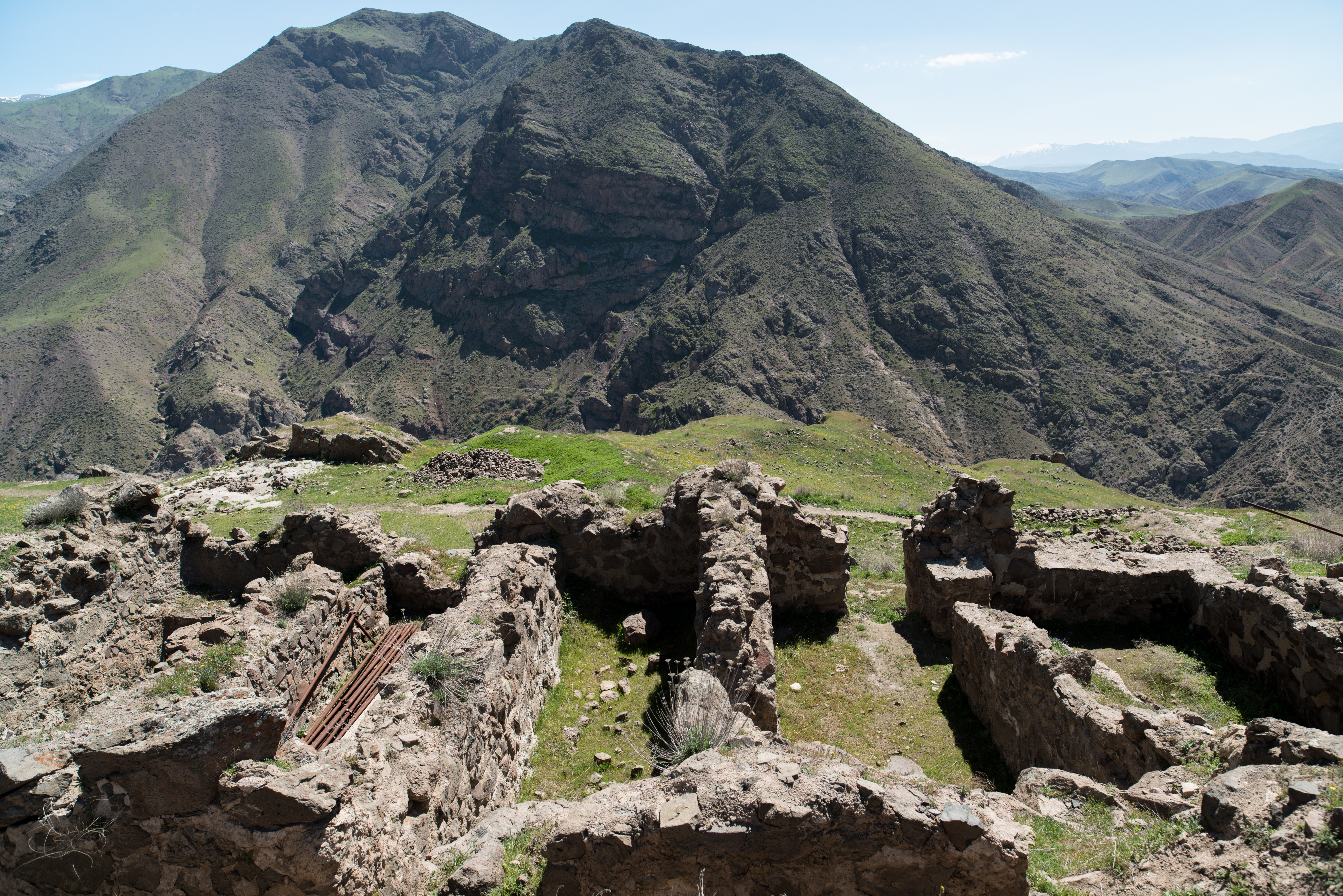
LAMBSAR CASTLE

ALAMUT ROAD

Alamut Valley
Topographic Map of Mohammad Abad, Qazvin Province, Iran
Find elevation by address:

Places near Mohammad Abad, Qazvin Province, Iran:
East Alamut District
Zibashahr
Qazvin - Zanjan Freeway
Qazvin - Zanjan Freeway
Ashtiani Department Store
Qazvin
Alvand
Eqbaliyeh
Abyek
Qazvin Province
Nazarabad
Aftab
Takestan
Buin Zahra
Eshtehard
Abhar
Soltanabad
Mamuniyeh
Recent Searches:
- Elevation of Corso Fratelli Cairoli, 35, Macerata MC, Italy
- Elevation of Tallevast Rd, Sarasota, FL, USA
- Elevation of 4th St E, Sonoma, CA, USA
- Elevation of Black Hollow Rd, Pennsdale, PA, USA
- Elevation of Oakland Ave, Williamsport, PA, USA
- Elevation of Pedrógão Grande, Portugal
- Elevation of Klee Dr, Martinsburg, WV, USA
- Elevation of Via Roma, Pieranica CR, Italy
- Elevation of Tavkvetili Mountain, Georgia
- Elevation of Hartfords Bluff Cir, Mt Pleasant, SC, USA