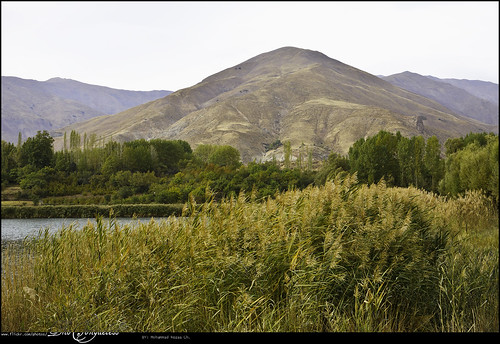
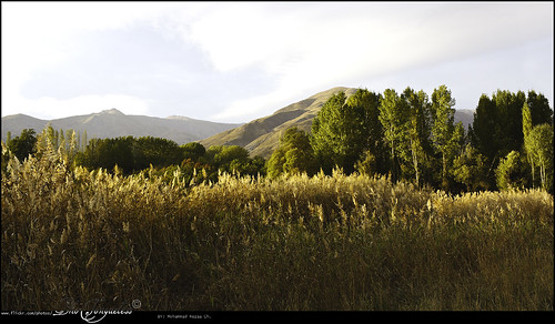
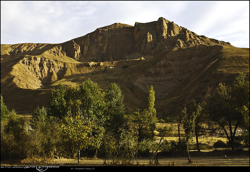
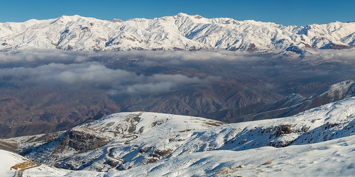
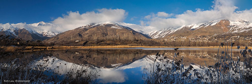
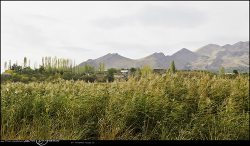
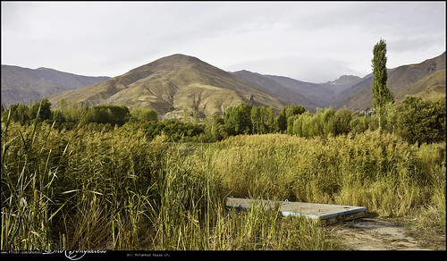
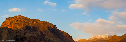
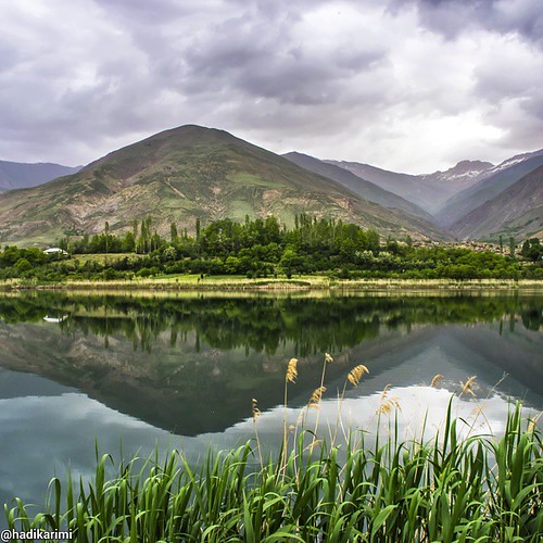
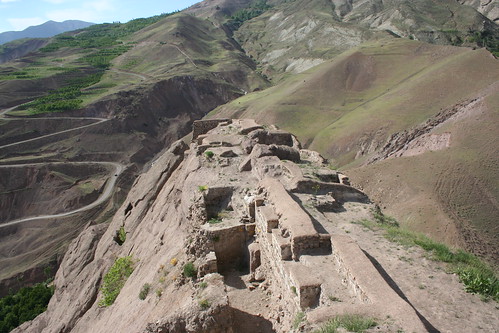
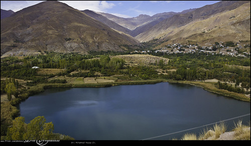
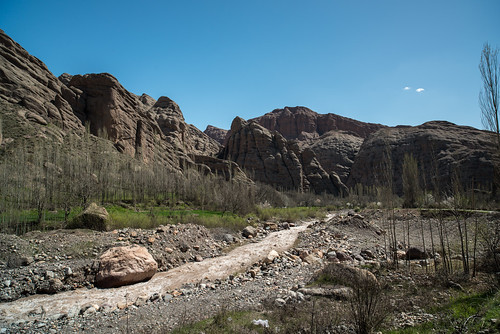
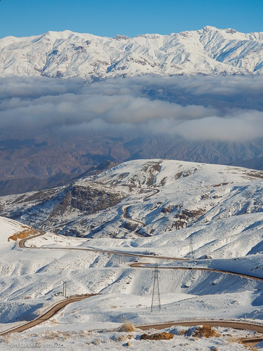
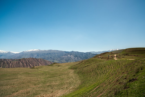
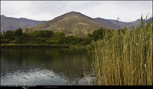
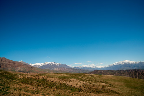
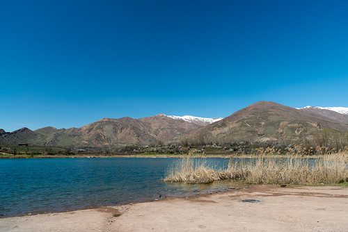
Elevation map of East Alamut District, Qazvin Province, Iran
Location: Iran > Qazvin Province >
Longitude: 50.3894858
Latitude: 36.4842177
Elevation: 1654m / 5426feet
Barometric Pressure: 83KPa
Related Photos:
Topographic Map of East Alamut District, Qazvin Province, Iran
Find elevation by address:

Places in East Alamut District, Qazvin Province, Iran:
Places near East Alamut District, Qazvin Province, Iran:
Mohammad Abad
Zibashahr
Qazvin - Zanjan Freeway
Qazvin - Zanjan Freeway
Ashtiani Department Store
Alvand
Qazvin
Abyek
Eqbaliyeh
Nazarabad
Qazvin Province
Aftab
Eshtehard
Buin Zahra
Takestan
Soltanabad
Mamuniyeh
Abhar
Recent Searches:
- Elevation of Corso Fratelli Cairoli, 35, Macerata MC, Italy
- Elevation of Tallevast Rd, Sarasota, FL, USA
- Elevation of 4th St E, Sonoma, CA, USA
- Elevation of Black Hollow Rd, Pennsdale, PA, USA
- Elevation of Oakland Ave, Williamsport, PA, USA
- Elevation of Pedrógão Grande, Portugal
- Elevation of Klee Dr, Martinsburg, WV, USA
- Elevation of Via Roma, Pieranica CR, Italy
- Elevation of Tavkvetili Mountain, Georgia
- Elevation of Hartfords Bluff Cir, Mt Pleasant, SC, USA

