Elevation of Modesto, CA, USA
Location: United States > California > Stanislaus County >
Longitude: -120.99687819999997
Latitude: 37.63909719999999
Elevation: 29m / 95feet
Barometric Pressure: 0KPa
Related Photos:
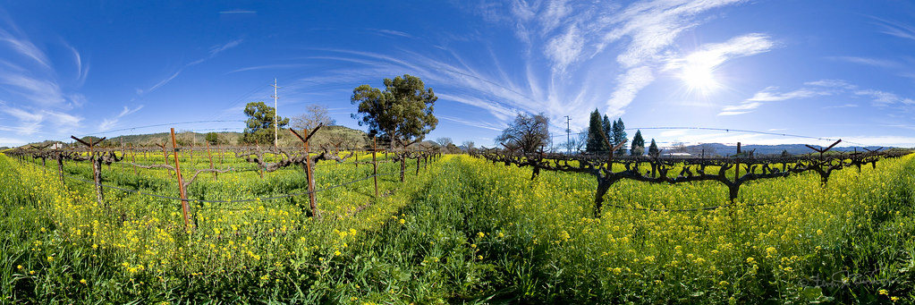
Mustard in the Vineyards
Topographic Map of Modesto, CA, USA
Find elevation by address:

Places in Modesto, CA, USA:
Shackelford
Downtown Modesto
2425 Peppermint Dr
3308 Dauphine St
3567 Young Rd
223 Lucern Ave
2309 Abinash Ct
4100 E Orangeburg Ave
4112 E Orangeburg Ave
1121 Symphony Way
1604 Kansas Ave
2454 Nathan Ave
601 S Riverside Dr
3117 Higbee Ct
1202 D St
2454 Beatrice Ln
555 Mariposa Rd
2008 Ferrara Ct
1837 Celeste Dr
2053 Zaiger Way
405 Helen Ave
4121 Dale Rd
2400 Van Winkle Ct
1200 S Carpenter Rd
3575 Birmingham Dr
1102 Fawndale Ct
2440 Ives St
Paradise Rd, Modesto, CA, USA
3824 Cairns Way
South Morton Boulevard
2800 Braden Ave
9000 Paradise Rd
10555 Maze Blvd
3305 Birmingham Dr
San Ramos Way
2909 Gabriel Way
1900 Paramont Way
1829 Idalou Ave
3121 Roland Gardens Ln
3712 Surfside Dr
3304 Fetereia Dr
2010 Tully Rd
3600 Mchenry Ave
200 9th St
440 Mitchell Rd
5406 Milnes Rd
605 S Santa Cruz Ave
1105 Gettysburg Way
4113 Ogden Ct
2900 Medinah Way
Bloom Court
Clipper Lane
169 Clipper Ln
N Star Way, Modesto, CA, USA
901 Edison Ave
3905 Midcrest Ct
1235 Purdue Ave
Standiford Ave, Modesto, CA, USA
Del Rio Dr, Modesto, CA, USA
810 Virginia Ave
119 Ketch Ln
1200 Lakewood Ave
1541 Marsha Ave
2517 Garlandwood Dr
2532 Willow Oak Ct
1413 El Pueblo Dr
Places near Modesto, CA, USA:
Downtown Modesto
820 12th St
Gallo Center For The Arts
1000 L St
1202 D St
200 9th St
823 3rd St
South Morton Boulevard
223 Lucern Ave
810 Virginia Ave
405 Helen Ave
Bystrom
605 S Santa Cruz Ave
1235 Purdue Ave
901 Edison Ave
1121 Symphony Way
Modesto, CA, USA
1434 Baywood Dr
1604 Kansas Ave
1200 S Carpenter Rd
Recent Searches:
- Elevation of Dharamkot Tahsil, Punjab, India
- Elevation of Bhinder Khurd, Dharamkot Tahsil, Punjab, India
- Elevation of 2881, Chabot Drive, San Bruno, San Mateo County, California, 94066, USA
- Elevation of 10370, West 107th Circle, Westminster, Jefferson County, Colorado, 80021, USA
- Elevation of 611, Roman Road, Old Ford, Bow, London, England, E3 2RW, United Kingdom
- Elevation of 116, Beartown Road, Underhill, Chittenden County, Vermont, 05489, USA
- Elevation of Window Rock, Colfax County, New Mexico, 87714, USA
- Elevation of 4807, Rosecroft Street, Kempsville Gardens, Virginia Beach, Virginia, 23464, USA
- Elevation map of Matawinie, Quebec, Canada
- Elevation of Sainte-Émélie-de-l'Énergie, Matawinie, Quebec, Canada
- Elevation of Rue du Pont, Sainte-Émélie-de-l'Énergie, Matawinie, Quebec, J0K2K0, Canada
- Elevation of 8, Rue de Bécancour, Blainville, Thérèse-De Blainville, Quebec, J7B1N2, Canada
- Elevation of Wilmot Court North, 163, University Avenue West, Northdale, Waterloo, Region of Waterloo, Ontario, N2L6B6, Canada
- Elevation map of Panamá Province, Panama
- Elevation of Balboa, Panamá Province, Panama
- Elevation of San Miguel, Balboa, Panamá Province, Panama
- Elevation of Isla Gibraleón, San Miguel, Balboa, Panamá Province, Panama
- Elevation of 4655, Krischke Road, Schulenburg, Fayette County, Texas, 78956, USA
- Elevation of Carnegie Avenue, Downtown Cleveland, Cleveland, Cuyahoga County, Ohio, 44115, USA
- Elevation of Walhonding, Coshocton County, Ohio, USA