Elevation of Miller Rd, Sundridge, ON P0A 1Z0, Canada
Location: Canada > Ontario > Parry Sound District > Sundridge >
Longitude: -79.613354
Latitude: 45.7477578
Elevation: 330m / 1083feet
Barometric Pressure: 97KPa
Elevation Map:
Satellite Map:
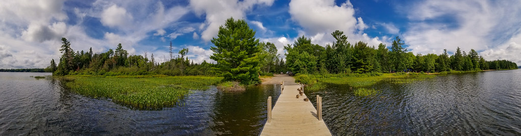
Related Photos:

Times Have Changed

ghostly dawn

Magnetawan, Ontario, Canada

Pines near Rye

Herb Garden Run Wild
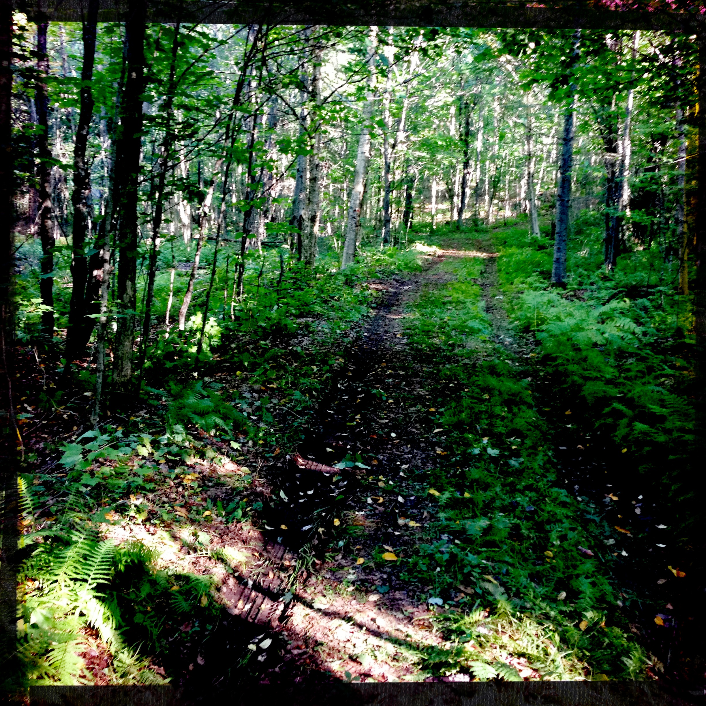
Country Lane

Fishing at Sunset

Here We Sat

Sunny Days at the Cottage

20170807_112837-FULL
20170807_112259-FULL

A storm blows in
Topographic Map of Miller Rd, Sundridge, ON P0A 1Z0, Canada
Find elevation by address:

Places near Miller Rd, Sundridge, ON P0A 1Z0, Canada:
1091 Miller Rd
Miller Road
38 Sugar Bush Rd E
Magnetawan
127 Jackson's Rd
ON-, Burk's Falls, ON P0A 1C0, Canada
Magnetawan
Chikopi Rd, Magnetawan, ON P0A 1P0, Canada
43 Magnet Rd
26 Newell Lake Rd, Magnetawan, ON P0A 1P0, Canada
Gordon Point Rd, Magnetawan, ON P0A 1P0, Canada
105 King Lake Rd
105 King Lake Rd
Machar
Strong
245 Sunny Ridge Rd
Commanda
Sundridge
Hamilton Lake Rd, Machar, ON P0A, Canada
Burk's Falls
Recent Searches:
- Elevation of Corso Fratelli Cairoli, 35, Macerata MC, Italy
- Elevation of Tallevast Rd, Sarasota, FL, USA
- Elevation of 4th St E, Sonoma, CA, USA
- Elevation of Black Hollow Rd, Pennsdale, PA, USA
- Elevation of Oakland Ave, Williamsport, PA, USA
- Elevation of Pedrógão Grande, Portugal
- Elevation of Klee Dr, Martinsburg, WV, USA
- Elevation of Via Roma, Pieranica CR, Italy
- Elevation of Tavkvetili Mountain, Georgia
- Elevation of Hartfords Bluff Cir, Mt Pleasant, SC, USA