Elevation of 38 Sugar Bush Rd E, Sundridge, ON P0A 1Z0, Canada
Location: Canada > Ontario > Parry Sound District > Magnetawan >
Longitude: -79.560957
Latitude: 45.7539951
Elevation: 320m / 1050feet
Barometric Pressure: 98KPa
Elevation Map:
Satellite Map:
Related Photos:
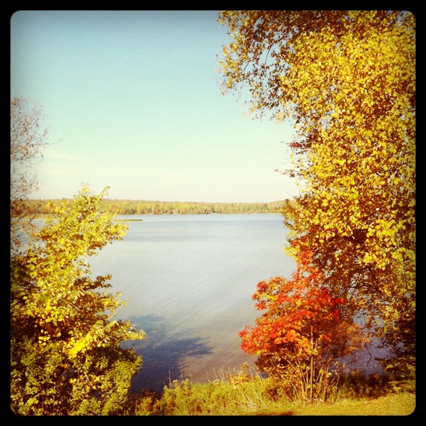
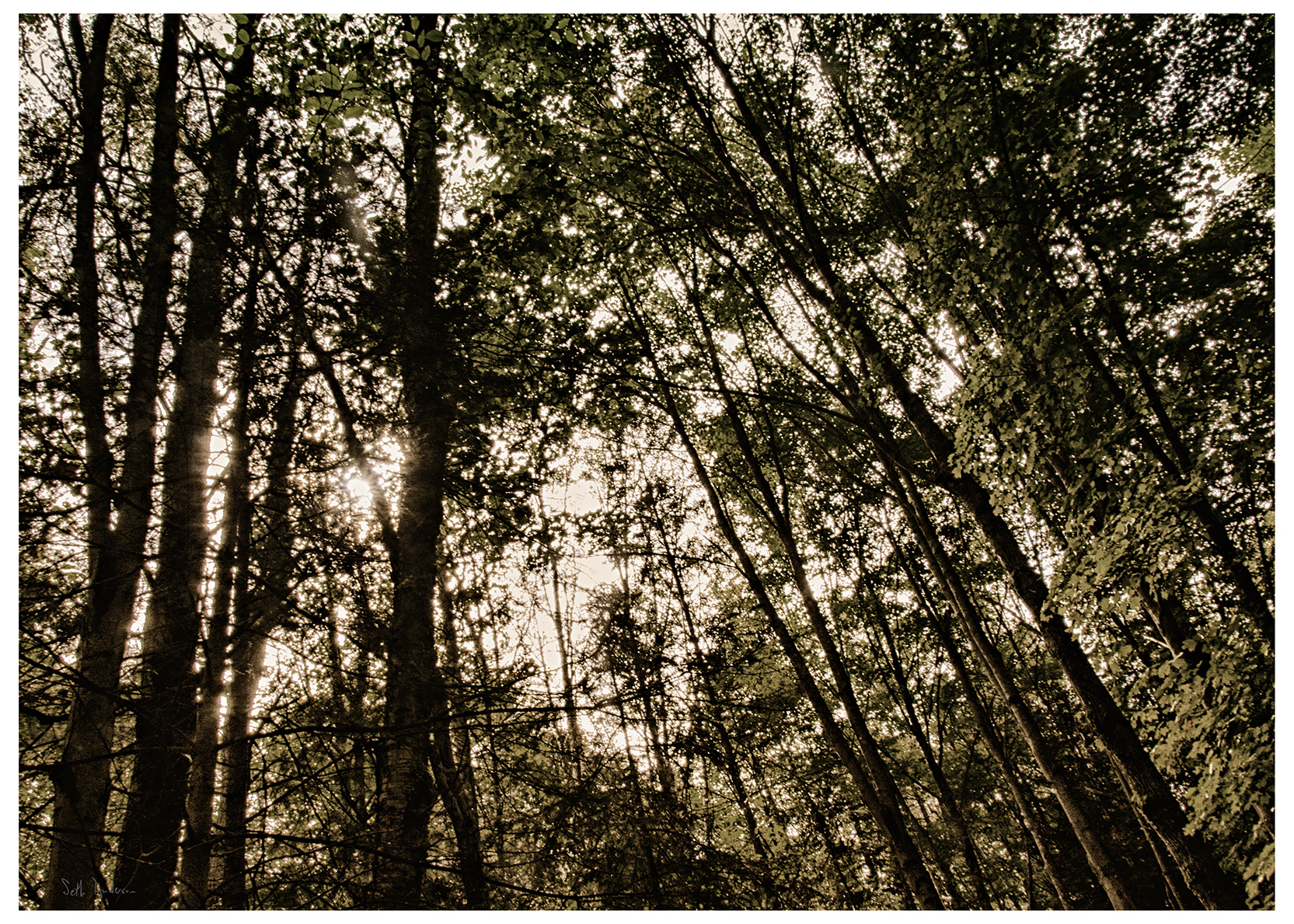
Lake views
Times Have Changed
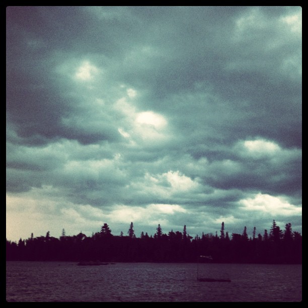
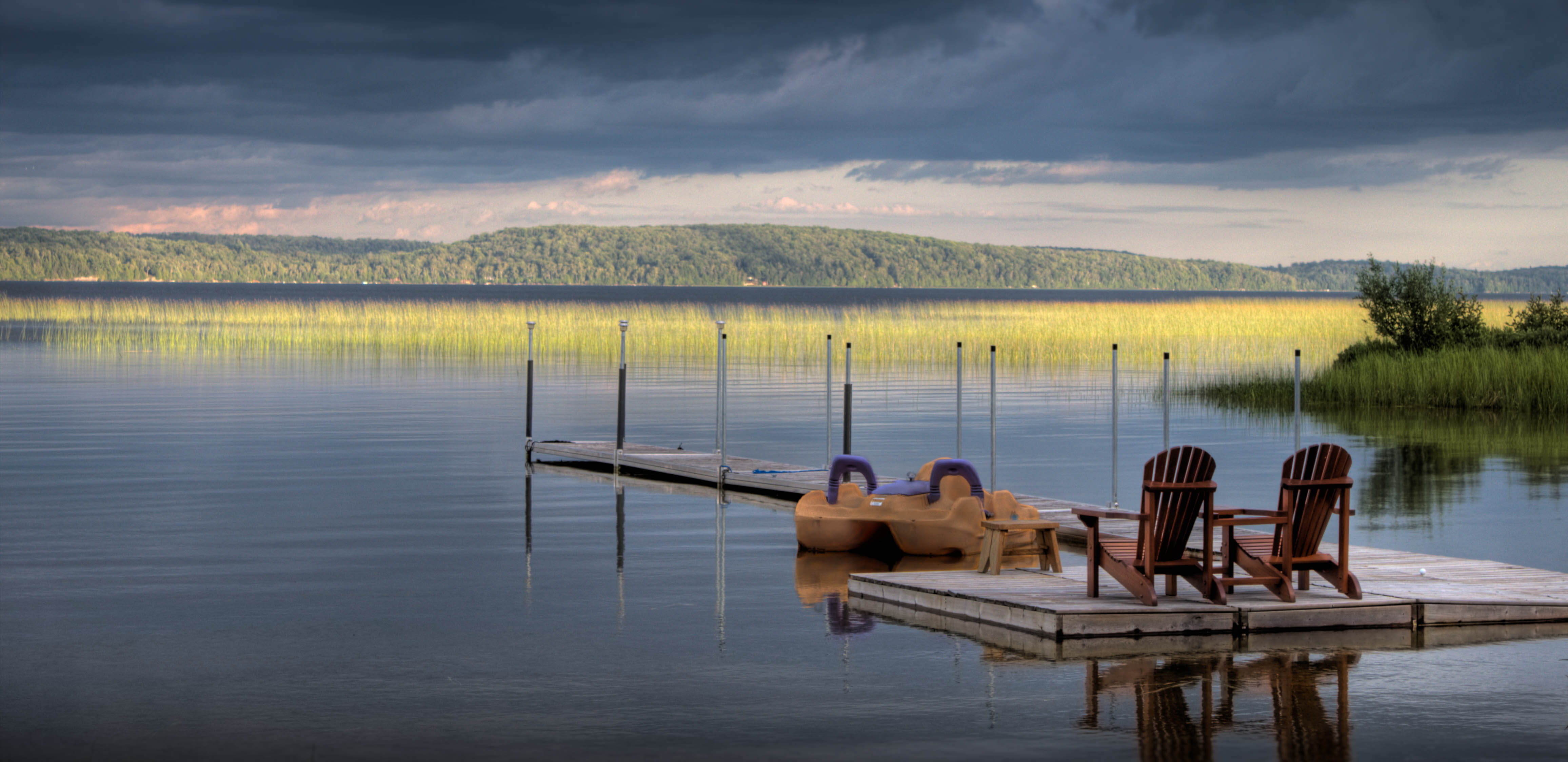
A storm blows in
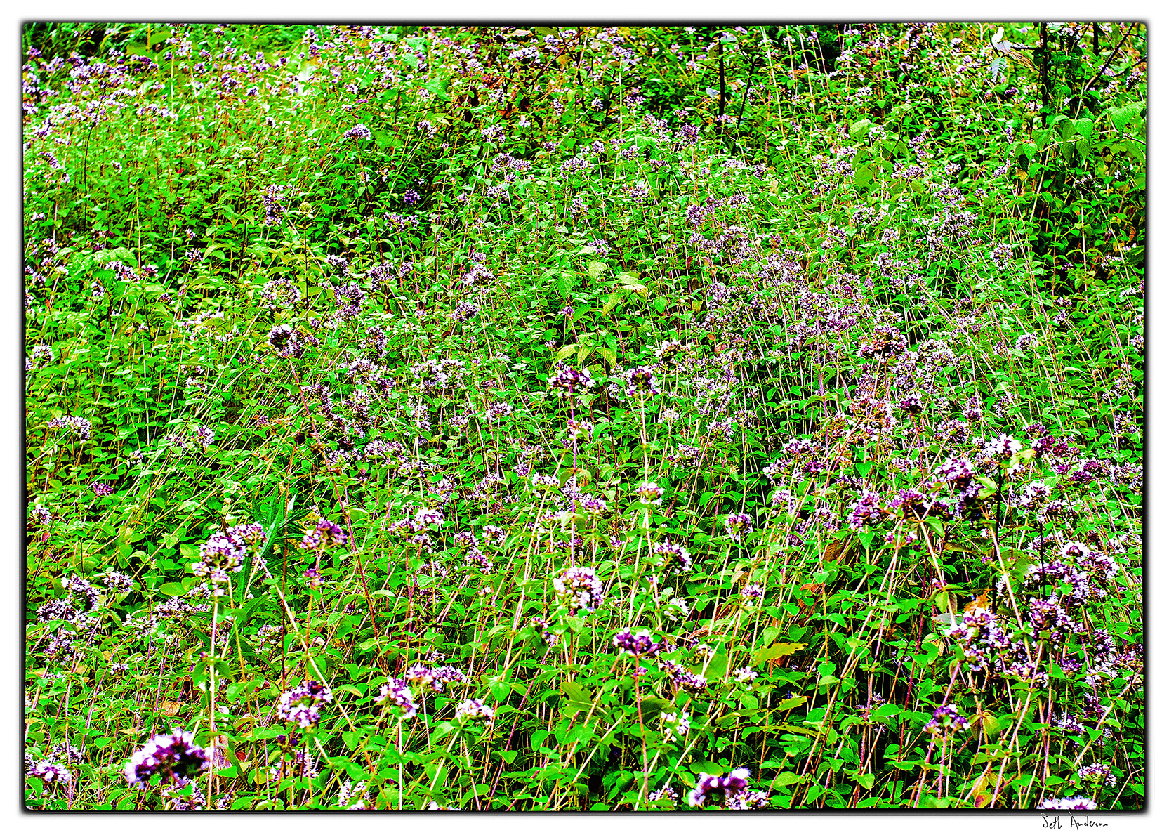
Herb Garden Run Wild
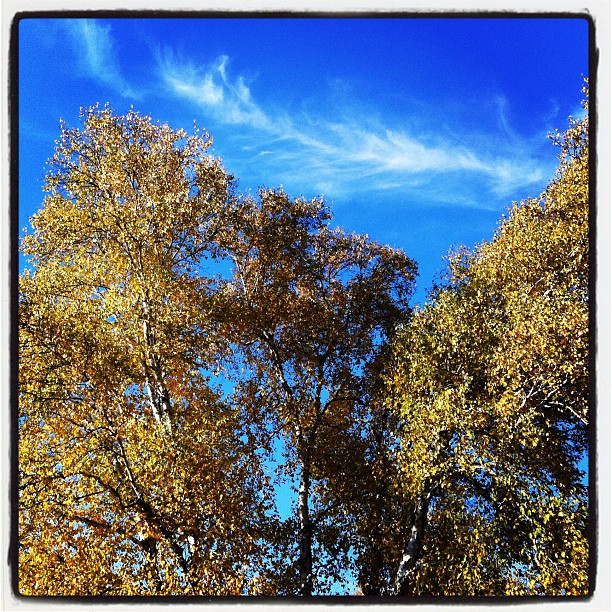
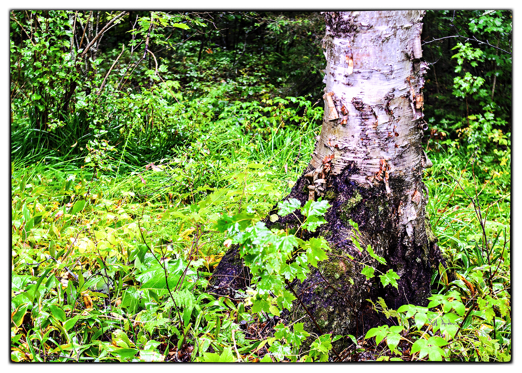
Afternoon sun on the Birches
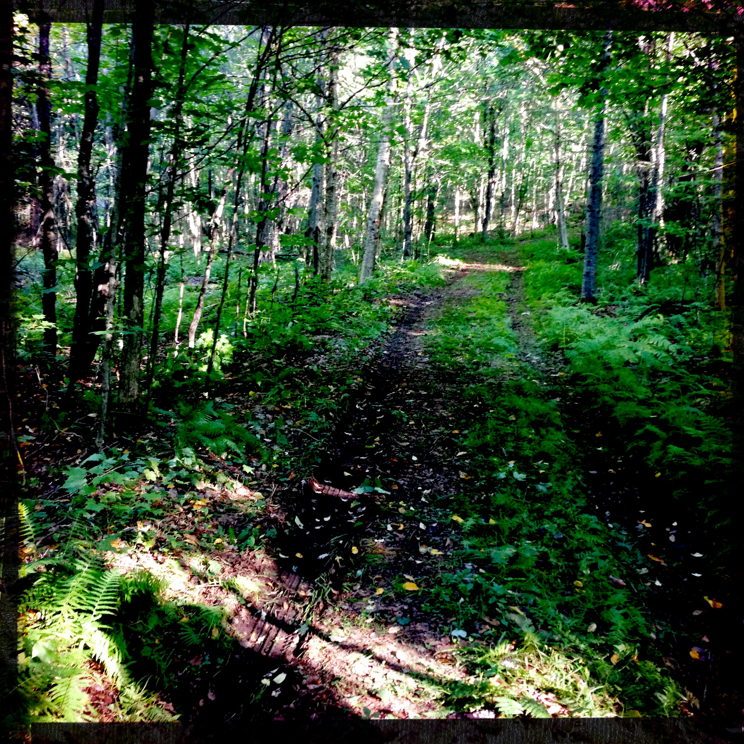
Country Lane
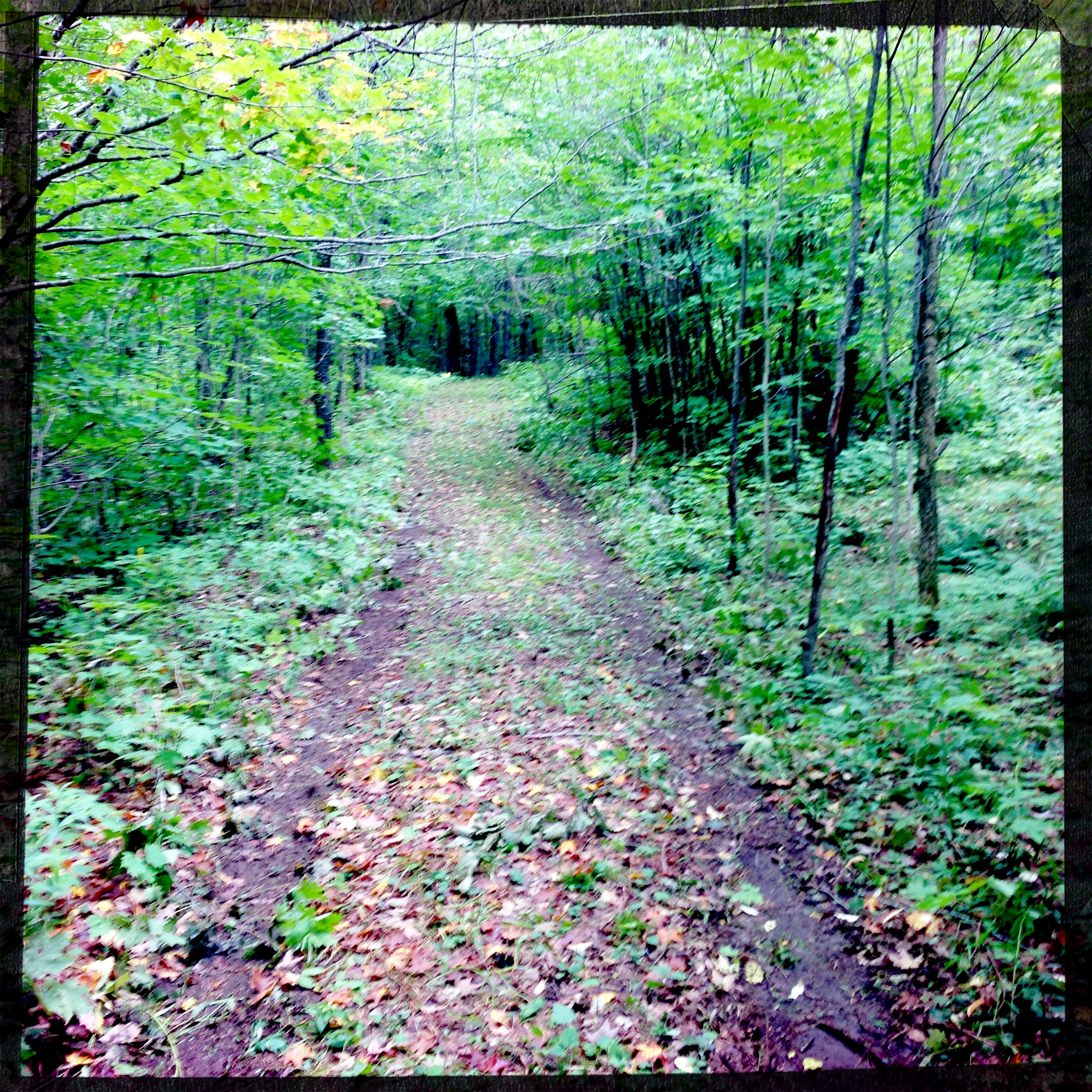
No Name Lane
Here We Sat
Sunlight Slice On The Lake
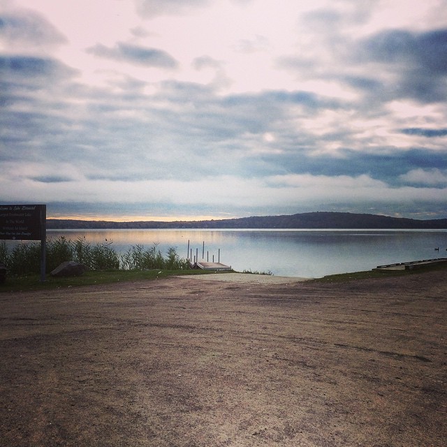
Early morning calm at Lake Bernard, Sundridge.
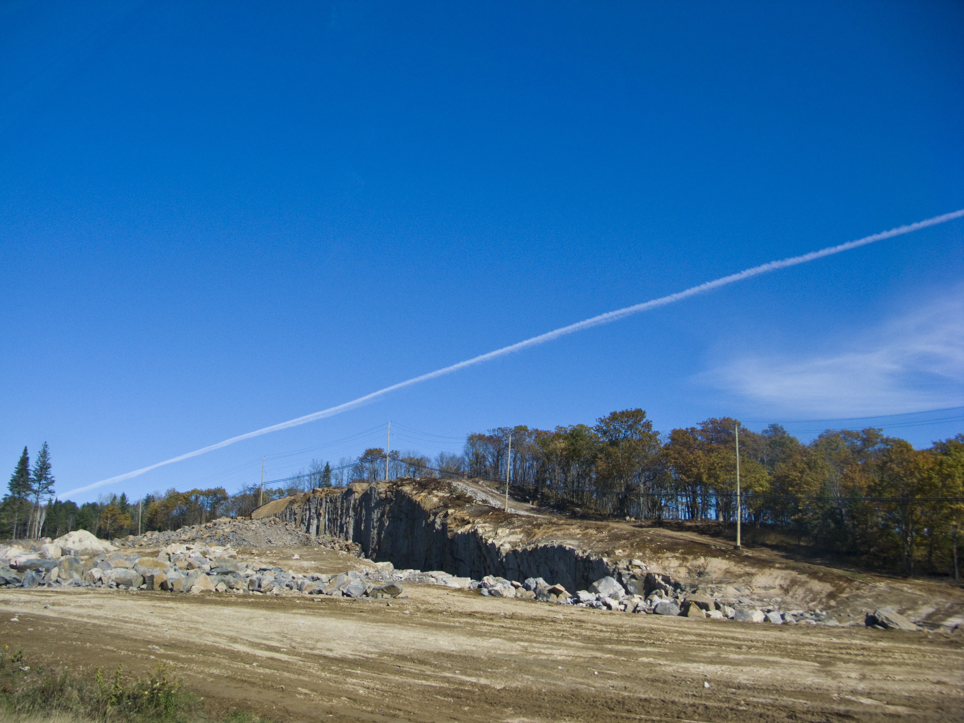
Hwy 11 under construction, 2009
Topographic Map of 38 Sugar Bush Rd E, Sundridge, ON P0A 1Z0, Canada
Find elevation by address:

Places near 38 Sugar Bush Rd E, Sundridge, ON P0A 1Z0, Canada:
Miller Road
1091 Miller Rd
1091 Miller Rd
ON-, Burk's Falls, ON P0A 1C0, Canada
Magnetawan
127 Jackson's Rd
Machar
Strong
245 Sunny Ridge Rd
105 King Lake Rd
105 King Lake Rd
Sundridge
Magnetawan
Chikopi Rd, Magnetawan, ON P0A 1P0, Canada
Hamilton Lake Rd, Machar, ON P0A, Canada
43 Sunshine St, South River, ON P0A 1X0, Canada
26 Newell Lake Rd, Magnetawan, ON P0A 1P0, Canada
South River
Burk's Falls
Gordon Point Rd, Magnetawan, ON P0A 1P0, Canada
Recent Searches:
- Elevation of Corso Fratelli Cairoli, 35, Macerata MC, Italy
- Elevation of Tallevast Rd, Sarasota, FL, USA
- Elevation of 4th St E, Sonoma, CA, USA
- Elevation of Black Hollow Rd, Pennsdale, PA, USA
- Elevation of Oakland Ave, Williamsport, PA, USA
- Elevation of Pedrógão Grande, Portugal
- Elevation of Klee Dr, Martinsburg, WV, USA
- Elevation of Via Roma, Pieranica CR, Italy
- Elevation of Tavkvetili Mountain, Georgia
- Elevation of Hartfords Bluff Cir, Mt Pleasant, SC, USA