Elevation of Mill Creek Road, Mill Creek Rd, Millboro, VA, USA

Location: United States > Virginia > Bath County > Millboro > Millboro >

Longitude: -79.536629

Latitude: 38.0545923

Elevation: 542m / 1778feet

Barometric Pressure: 95KPa

Elevation Map:

elevation map of Mill Creek Road, Mill Creek Rd, Millboro, VA, USA

Satellite Map:

Satellite map of Mill Creek Road, Mill Creek Rd, Millboro, VA, USA

Related Photos:

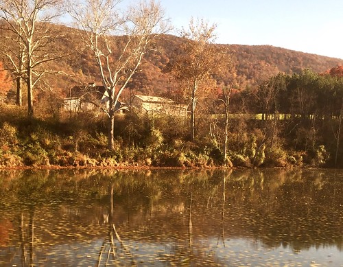
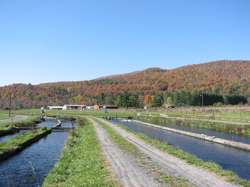
fall virginia lakesandponds amtrakviews
Passing by a pond in the Fall
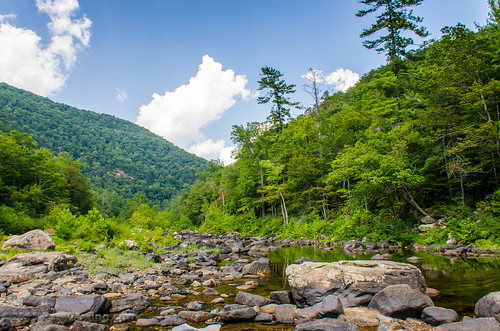
virginia va mauryriver goshenpass va39
Maury River, Goshen Pass, Virginia
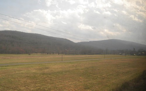
mountains virginia farmlife amtrakviews
Goshen Virginia
virginia va mauryriver goshenpass va39
Maury River, Goshen Pass, Virginia
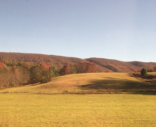
landscapes fall mountains amtrakviews virginia
On the Cardinal in Western Virginia
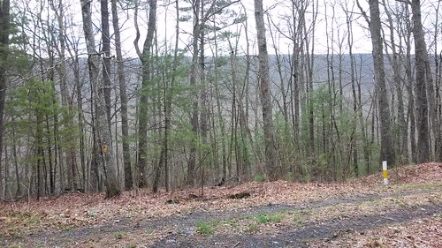
Walker Mountain Bath county side VA. USA 3600 ft elevation 2.5 hr climb no views .
Our farm as viewed from the George Washington National Forest
autumn color fall leaves virginia goshenpass getoutside rockbridgecounty nottobeusedwithoutmypermission adfimages itsgorgeousoutthere
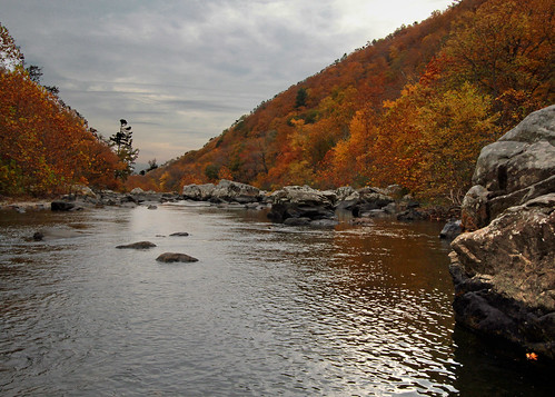
Overcast Autumn Day in Goshen Pass
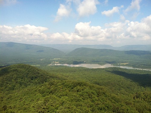
goshenscoutreservation virginia green landscape mountains nature panorama public
Panorama of Virginia Landscape
trees mist mountains water rain fog river rocks goshenpass
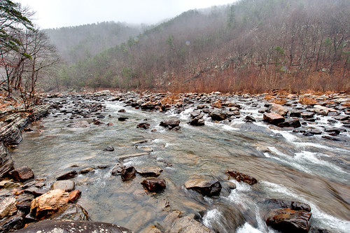
Scouting Goshen Pass
water landscape virginia rivers mauryriver goshenpass nottobeusedwithoutmypermission adfimages
Maury in March
trees mist mountains water rain fog clouds forest river woods rocks hdr goshenpass
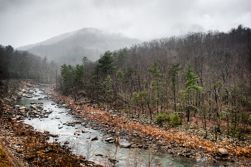
Low Clouds in Goshen Pass
Central VA
virginia unitedstates va bb goshen csxt 24439 craigsville
Empties for West Virginia
mountains fall virginia fallfoliage goshenpass shenendoahvalley shendoahmountain
Autumn River in Virginia
fall colors river pass preserve goshen naturalarea
Maury River at Goshen Pass
water river virginia us unitedstates mauryriver rockbridgebaths
Maury River 0990.jpg
mountains river landscape virginia scenery va goshenpass rockbridgecounty sonya65
Maury River, Goshen Pass
autumn mountain fish geotagged virginia hatchery geo:lat=3817889 geo:lon=7958106
IMG_2649.JPG
summer river virginia us unitedstates valley dailyphoto maury goshen mauryriver sr39 rockbridgecounty rockbridgecountyvirginia d7000 stateroute39 goshenvirginia pauldiming
Fishermen on the Maury River in Goshen Pass - Goshen, VA
Camera Roll-944
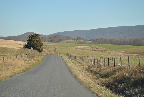
countryroads bathcounty
COUNTRY ROAD
summer river landscape virginia us unitedstates valley dailyphoto maury goshen mauryriver sr39 rockbridgecounty rockbridgecountyvirginia d7000 stateroute39 goshenvirginia pauldiming
Goshen Pass - Goshen, VA
summer river landscape virginia us unitedstates valley dailyphoto maury goshen mauryriver sr39 rockbridgecounty rockbridgecountyvirginia d7000 stateroute39 goshenvirginia pauldiming
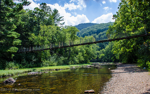
Footbridge Over the Maury River in Goshen Pass - Goshen, VA
fall virginia pass va goshen rockbridgecounty
Goshen Pass