Elevation of Millboro, VA, USA
Location: United States > Virginia > Bath County > Millboro >
Longitude: -79.602822
Latitude: 37.975128
Elevation: 518m / 1699feet
Barometric Pressure: 95KPa
Elevation Map:
Satellite Map:
Related Photos:

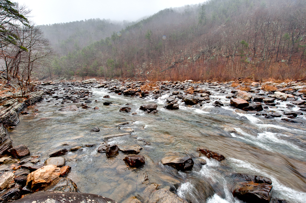
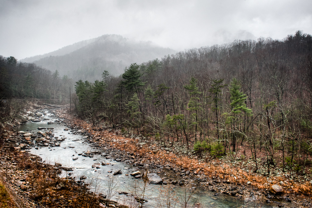
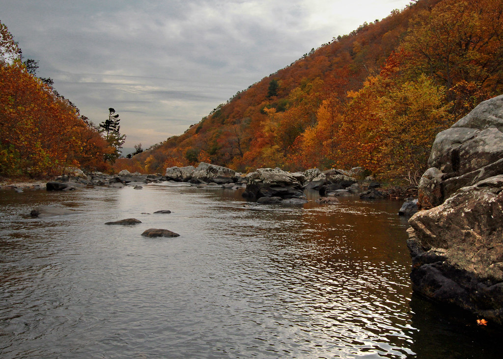
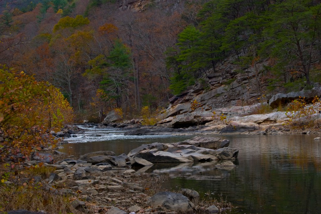
Maury River, Goshen Pass, Virginia
Goshen Virginia

Maury River, Goshen Pass, Virginia
On the Cardinal in Western Virginia
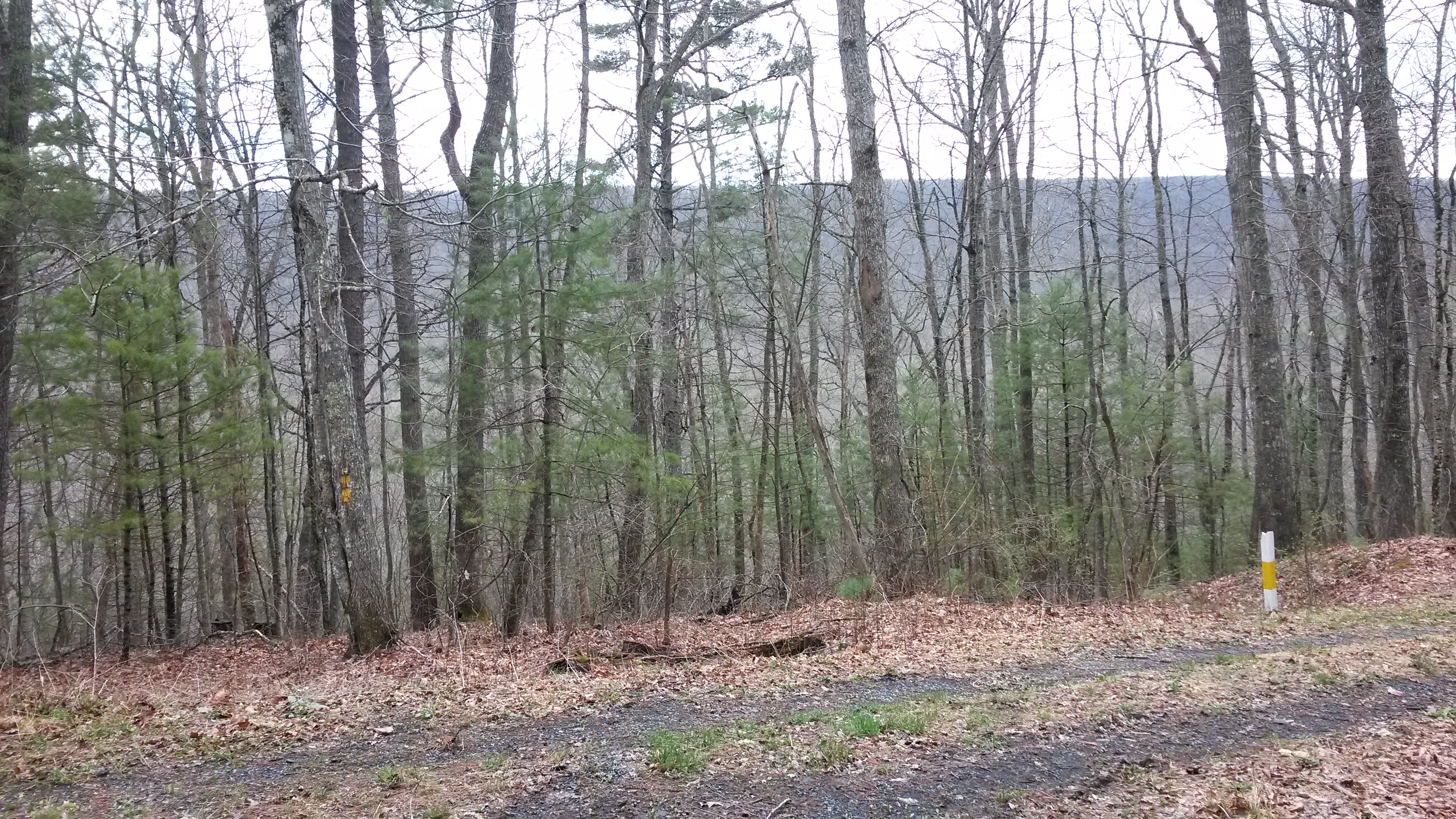
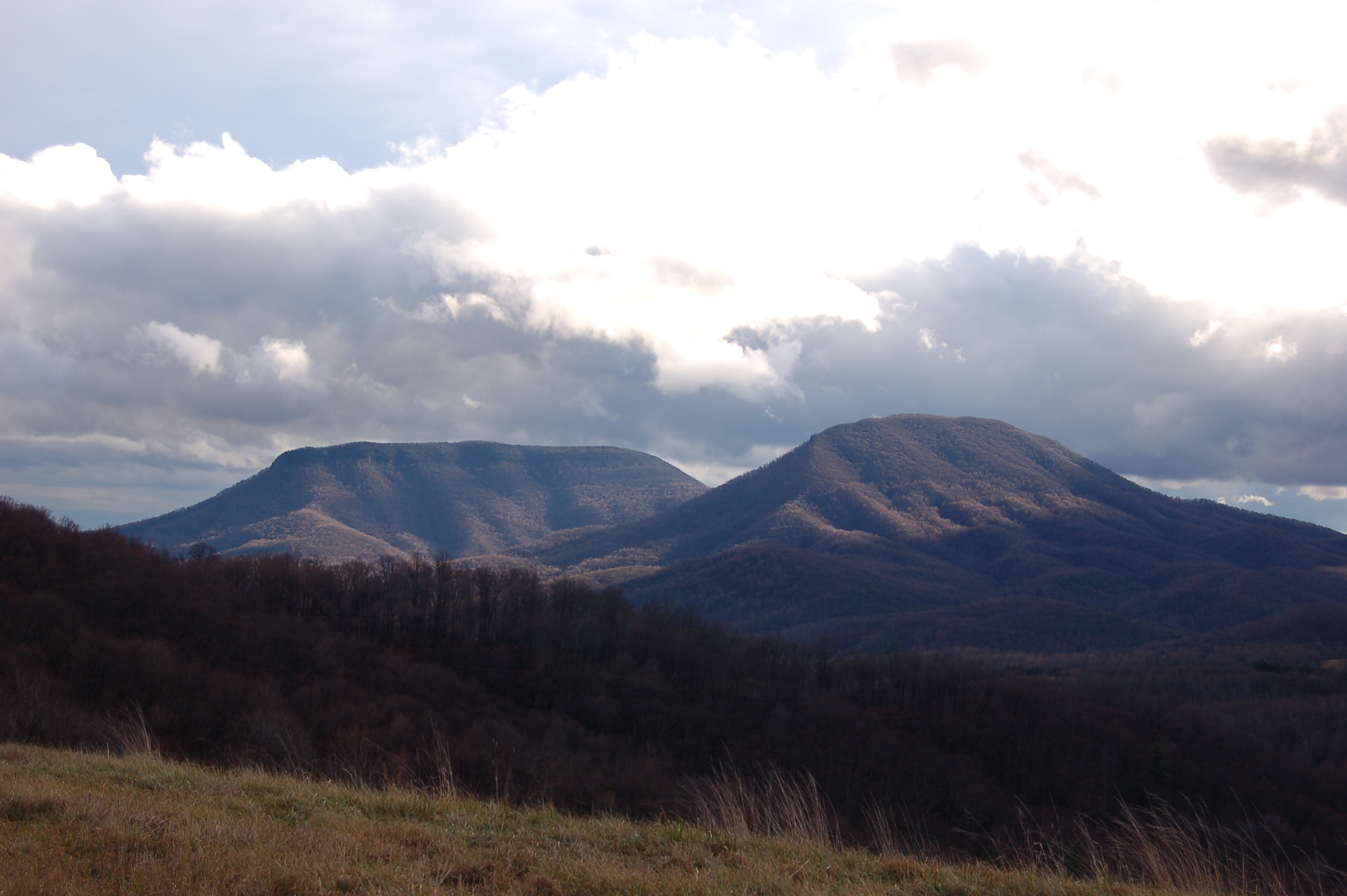
Walker Mountain Bath county side VA. USA 3600 ft elevation 2.5 hr climb no views .

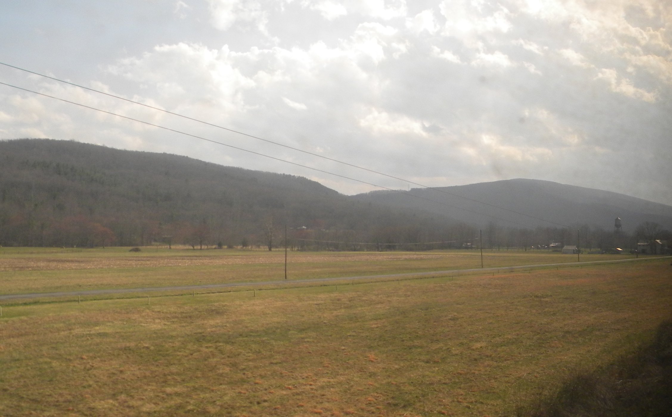
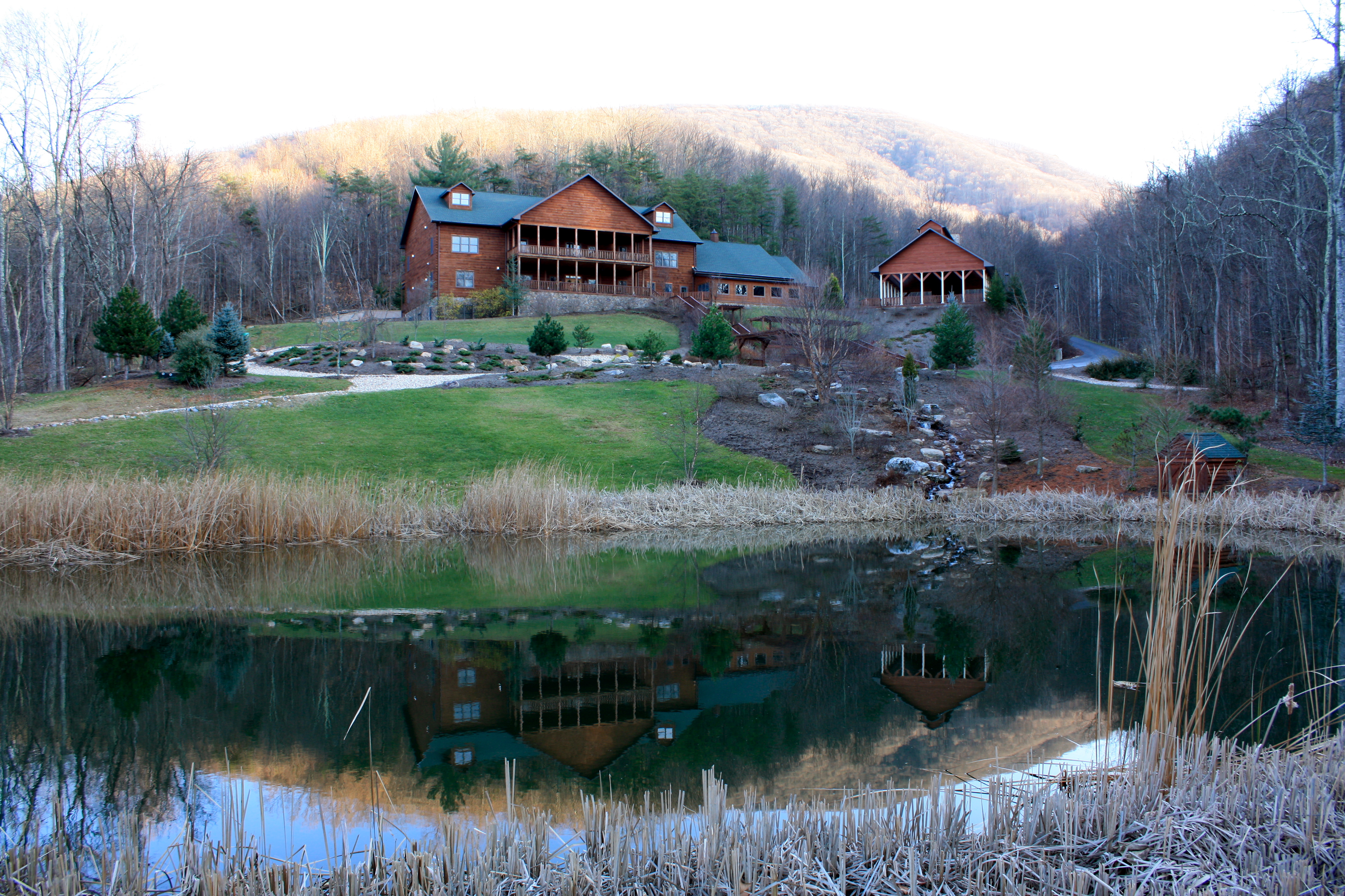
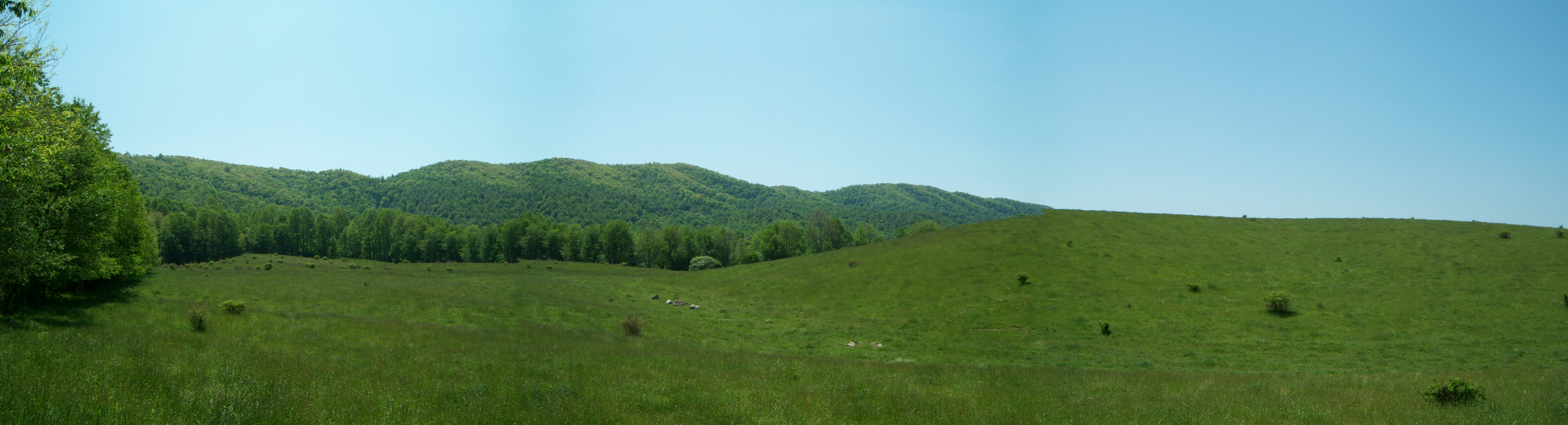
Our farm as viewed from the George Washington National Forest
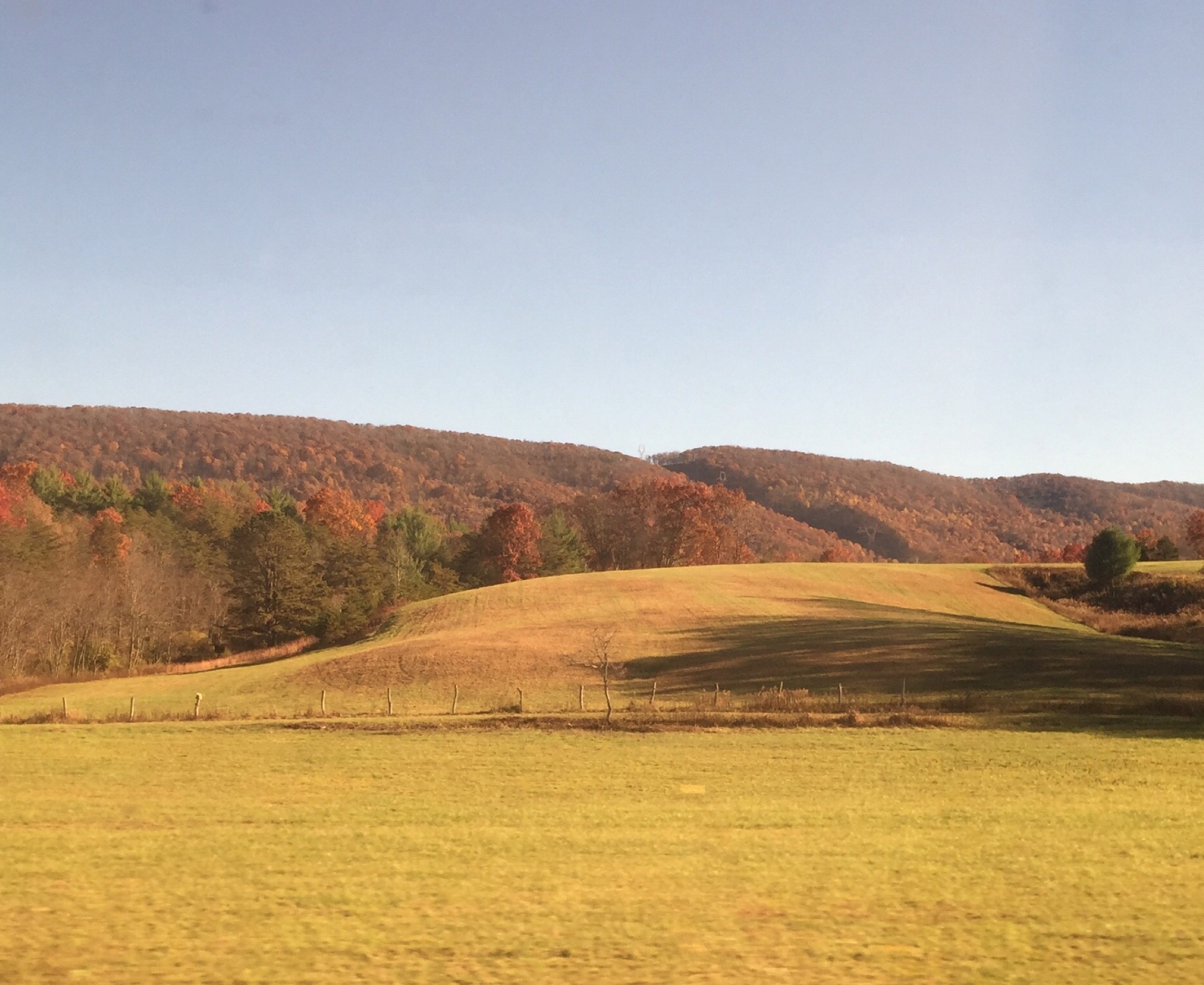
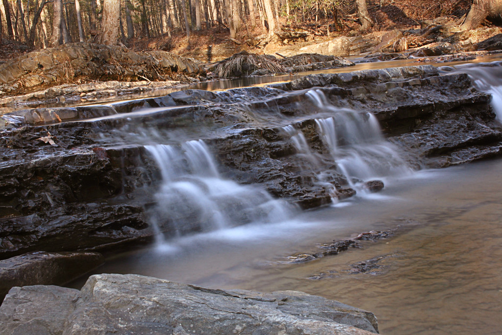
Passing by a pond in the Fall
House Mountain Inn
Mountian top peak

a different view

Day 243 -- After the storm

Rockbridge County Va.
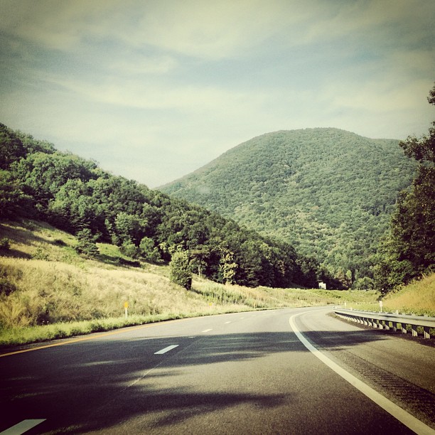
Driving back from lewisburg WV on I64
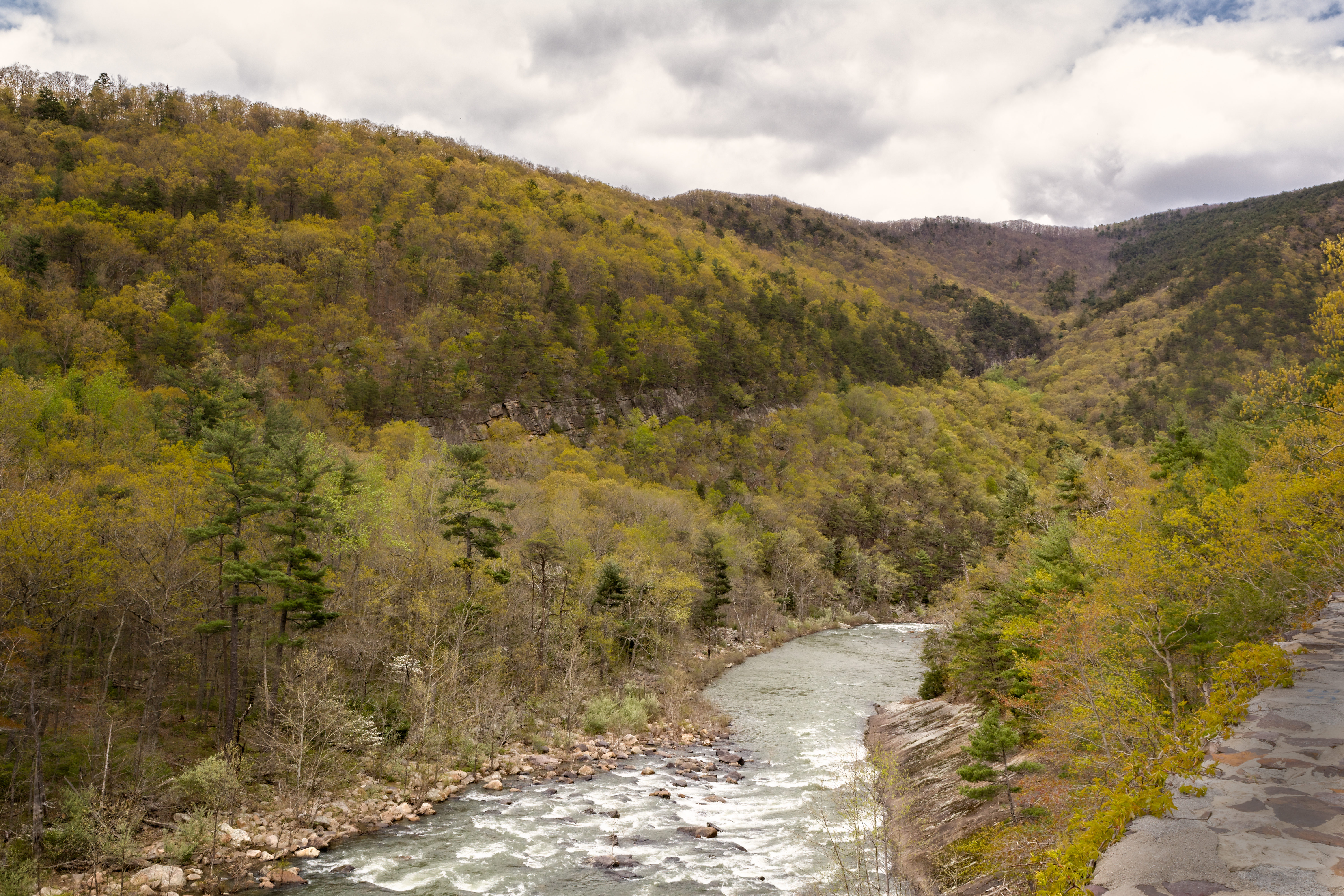
Scouting Goshen Pass

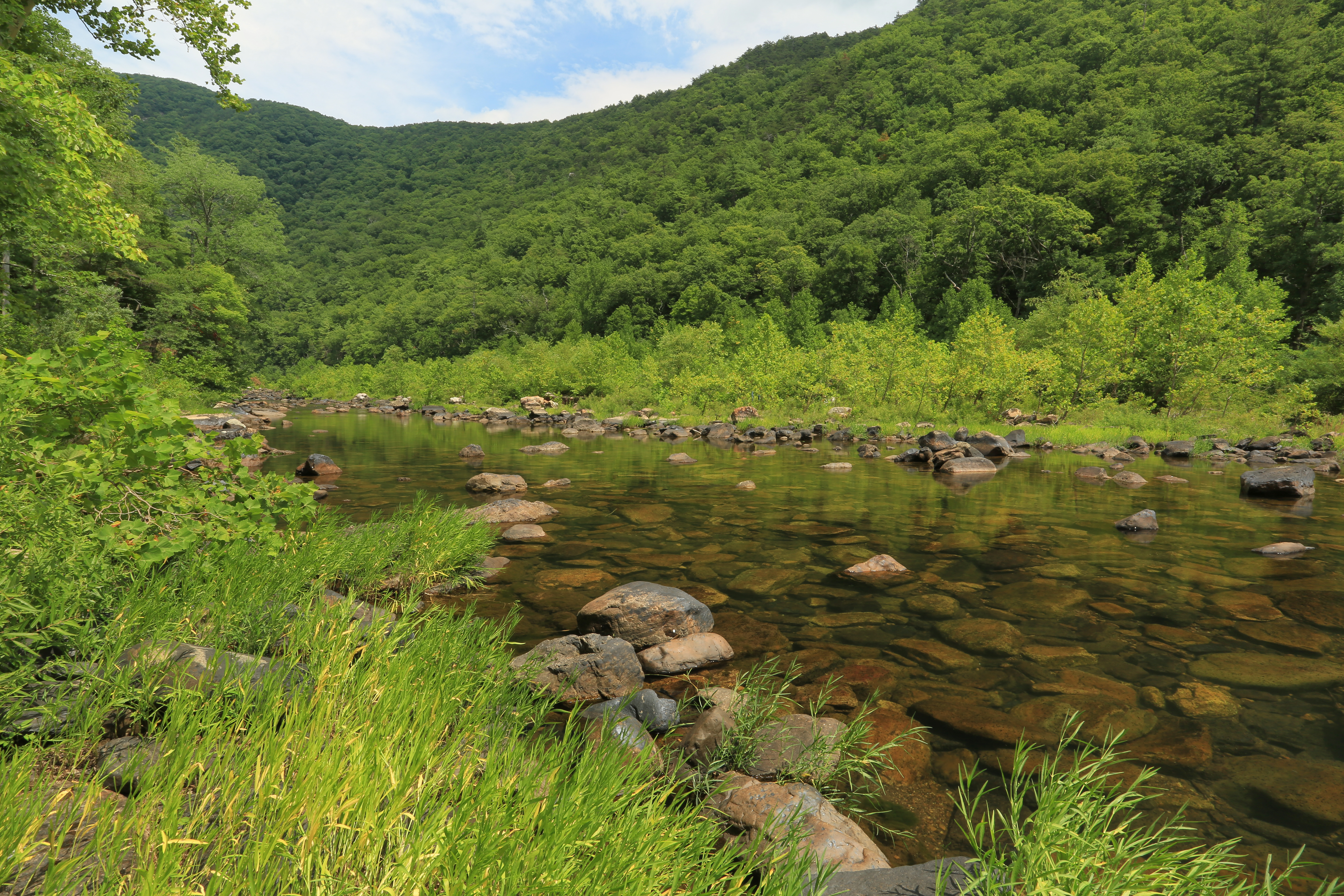
Maury in March
Low Clouds in Goshen Pass

Day 143 -- My welcoming bunny
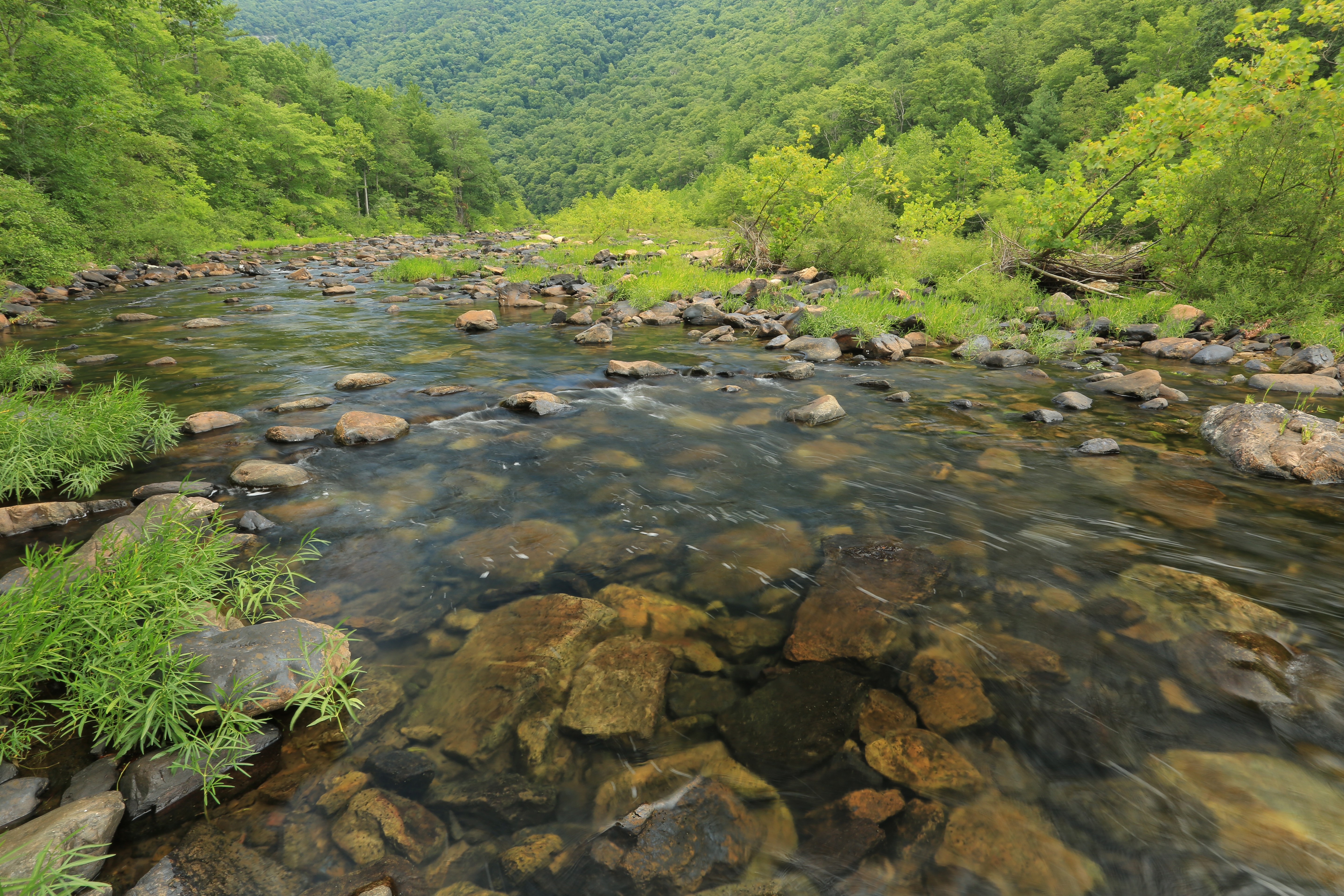
Maury River, Goshen Pass, Goshen Pass State Natural Area, Rockbridge County, Virginia 1
she'll be coming 'round the mountain when she comes...
Central VA
Overcast Autumn Day in Goshen Pass
Maury River 0990.jpg
Spring day in February
Maury River, Goshen Pass, Goshen Pass State Natural Area, Rockbridge County, Virginia 3

Variegated Fritillary
DSC_5412.JPG
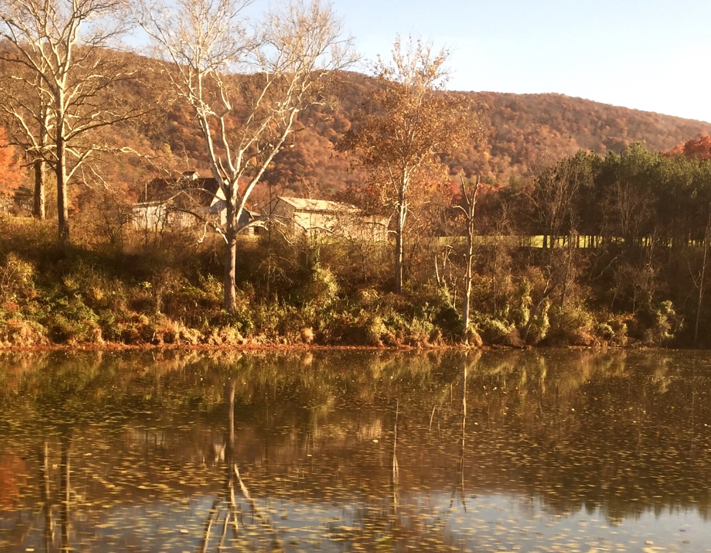
Autumn River in Virginia
Summer Dreams
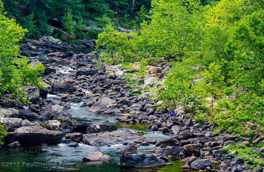
Fishermen on the Maury River in Goshen Pass - Goshen, VA
Topographic Map of Millboro, VA, USA
Find elevation by address:

Places in Millboro, VA, USA:
Mountain Valley Rd, Millboro, VA, USA
McClung Dr, Millboro, VA, USA
Cowpasture River Hwy, Millboro, VA, USA
Pig Run Road
Deerfield Road
Mill Creek Road
Hotchkiss
Mill Creek Crossing
Mountain Valley Road
Places near Millboro, VA, USA:
Cowpasture River Hwy, Millboro, VA, USA
Mountain Valley Rd, Millboro, VA, USA
Hotchkiss
218 Mont Shenandoah Ln
Pig Run Road
Dream Street
Fort Dickinson
1511 Mill Creek Rd
Mountain Valley Road
5311 Pig Run Rd
580 Virginia Ave
9223 Maury River Rd
Mill Creek Road
Goshen
Mill Creek Crossing
450 Mill Creek Crossing
3068 River Rd
McClung Dr, Millboro, VA, USA
150 State Rte 625
Deerfield Rd, Millboro, VA, USA
Recent Searches:
- Elevation of Corso Fratelli Cairoli, 35, Macerata MC, Italy
- Elevation of Tallevast Rd, Sarasota, FL, USA
- Elevation of 4th St E, Sonoma, CA, USA
- Elevation of Black Hollow Rd, Pennsdale, PA, USA
- Elevation of Oakland Ave, Williamsport, PA, USA
- Elevation of Pedrógão Grande, Portugal
- Elevation of Klee Dr, Martinsburg, WV, USA
- Elevation of Via Roma, Pieranica CR, Italy
- Elevation of Tavkvetili Mountain, Georgia
- Elevation of Hartfords Bluff Cir, Mt Pleasant, SC, USA