Elevation of Fort Lewis Lodge & Farm, Millstone Lane, Millboro, VA, USA
Location: United States > Virginia > Bath County > Millboro > Millboro >
Longitude: -79.612068
Latitude: 38.1155766
Elevation: 458m / 1503feet
Barometric Pressure: 96KPa
Elevation Map:
Satellite Map:
Related Photos:

The Bullpasture River Gorge Footbridge

Passing by a pond in the Fall

Bullpasture River Panorama

Bullpasture River Diorama Panorama

The Bullpasture River Gorge Footbridge

Bullpasture River

Bullpasture River

Goshen Virginia

On the Cardinal in Western Virginia
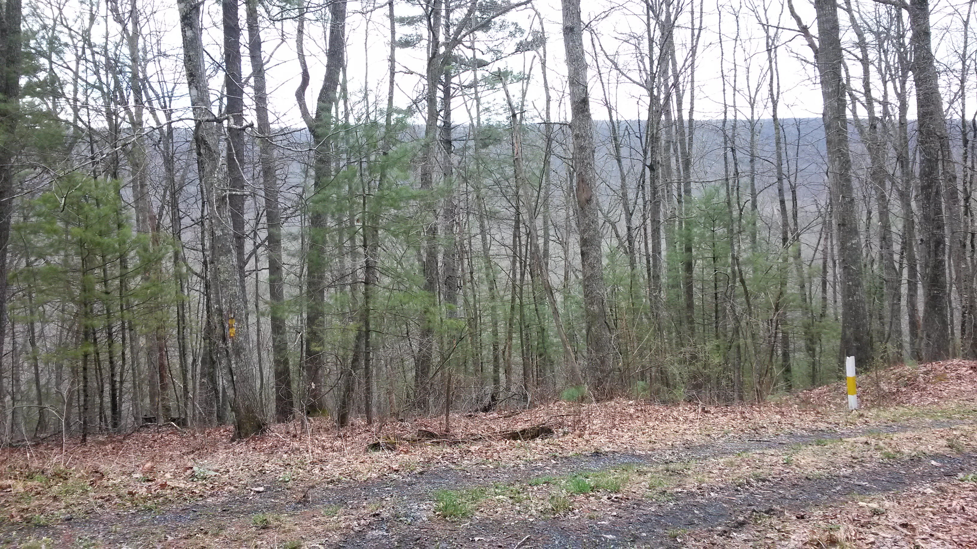
Walker Mountain Bath county side VA. USA 3600 ft elevation 2.5 hr climb no views .

View from Dan Ingalls Overlook
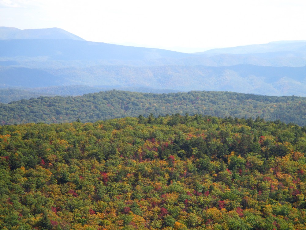
Over the Treetops

DAN INGALLS OVERLOOK

Dan Ingalls Overlook
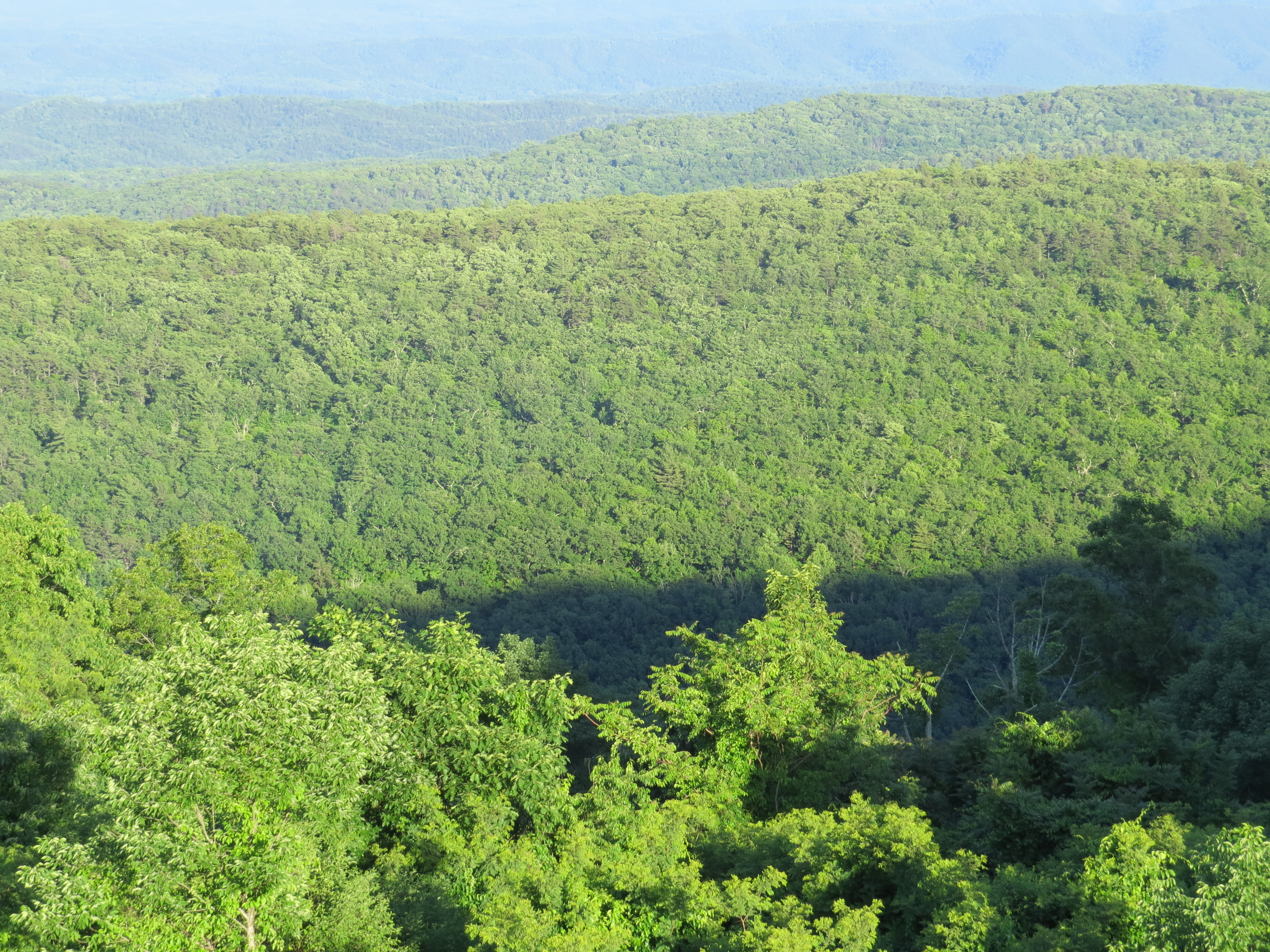
Dan Ingalls Overlook

Ingall's Overlook

Ingall's Overlook

DAN INGALLS OVERLOOK

Ingall's Overlook

DAN INGALLS OVERLOOK

DAN INGALLS OVERLOOK

COUNTRY ROADS

Severin fishing

Hot Springs, VA road trip

HM8G3969.jpg

DAN INGALLS OVERLOOK

HM8G3961.jpg

Hot Springs, VA road trip
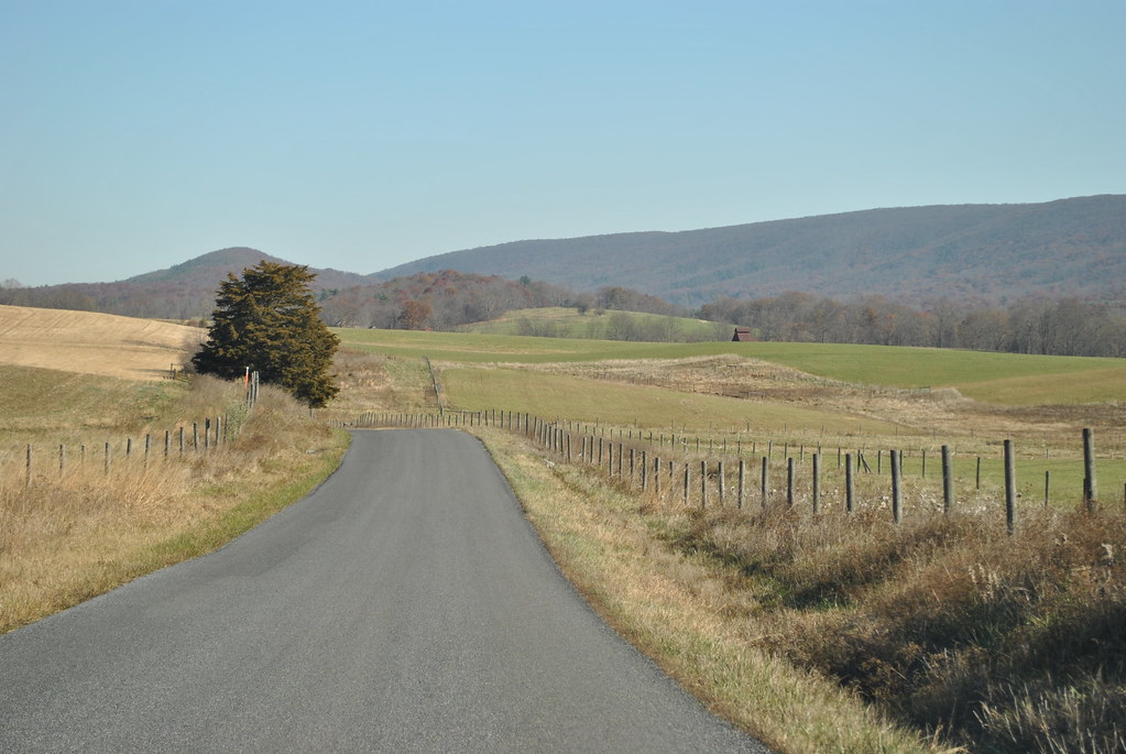
COUNTRY ROAD
Topographic Map of Fort Lewis Lodge & Farm, Millstone Lane, Millboro, VA, USA
Find elevation by address:

Places near Fort Lewis Lodge & Farm, Millstone Lane, Millboro, VA, USA:
603 Old Plantation Way
Bath County
2700 Westminster Rd
Deerfield Rd, Millboro, VA, USA
3068 River Rd
5311 Pig Run Rd
Pig Run Road
Dream Street
450 Mill Creek Crossing
Deerfield Road
Mill Creek Crossing
Mountain Valley Road
Mill Creek Road
6482 Mill Creek Rd
6822 Mill Creek Rd
150 State Rte 625
McClung Dr, Millboro, VA, USA
1511 Mill Creek Rd
Mountain Valley Rd, Millboro, VA, USA
Hotchkiss
Recent Searches:
- Elevation of Corso Fratelli Cairoli, 35, Macerata MC, Italy
- Elevation of Tallevast Rd, Sarasota, FL, USA
- Elevation of 4th St E, Sonoma, CA, USA
- Elevation of Black Hollow Rd, Pennsdale, PA, USA
- Elevation of Oakland Ave, Williamsport, PA, USA
- Elevation of Pedrógão Grande, Portugal
- Elevation of Klee Dr, Martinsburg, WV, USA
- Elevation of Via Roma, Pieranica CR, Italy
- Elevation of Tavkvetili Mountain, Georgia
- Elevation of Hartfords Bluff Cir, Mt Pleasant, SC, USA