Elevation of Middle Rd, Trenton, NC, USA
Location: United States > North Carolina > Jones County > 3, Trenton > Trenton >
Longitude: -77.487169
Latitude: 35.140093
Elevation: 18m / 59feet
Barometric Pressure: 101KPa
Elevation Map:
Satellite Map:
Related Photos:
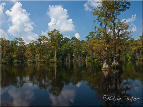
Brock's Mill Pond

Rock And Roll Carnival Ride Night View.
Side View, Lenoir County Courthouse
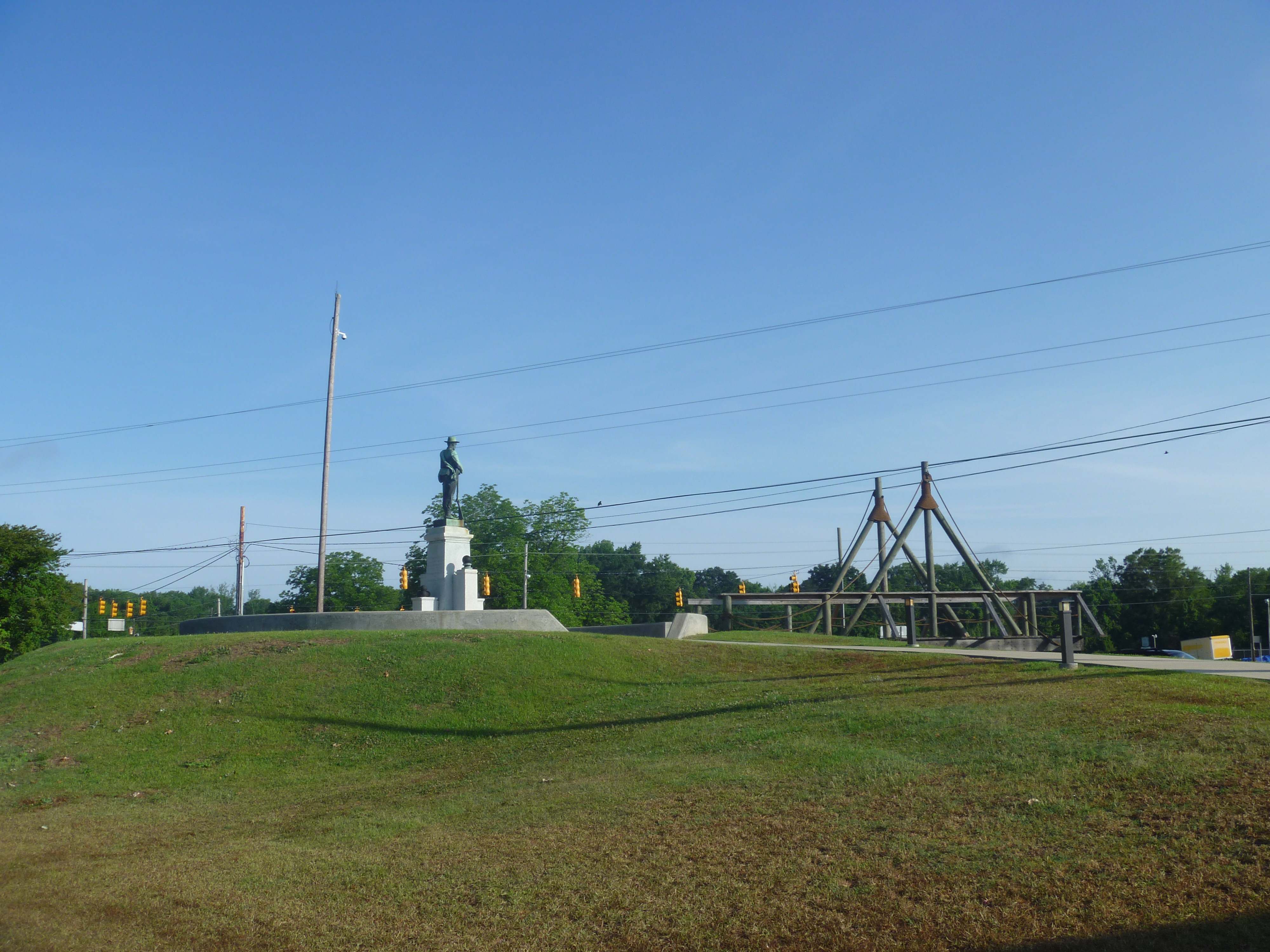
View Of Lenoir County Confederate Memorial And CSS Neuse Walkway

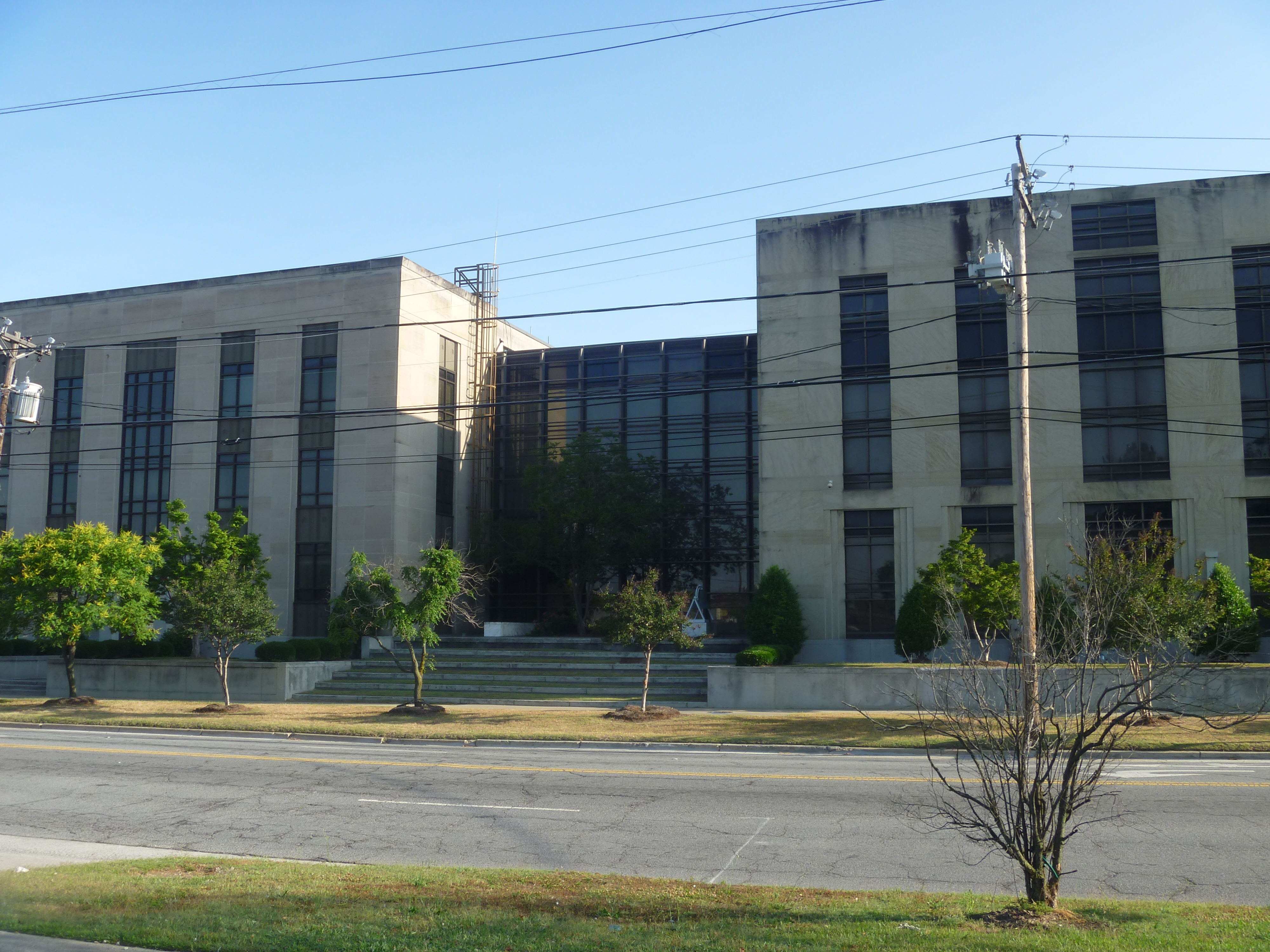
Front View, Jones County Courthouse
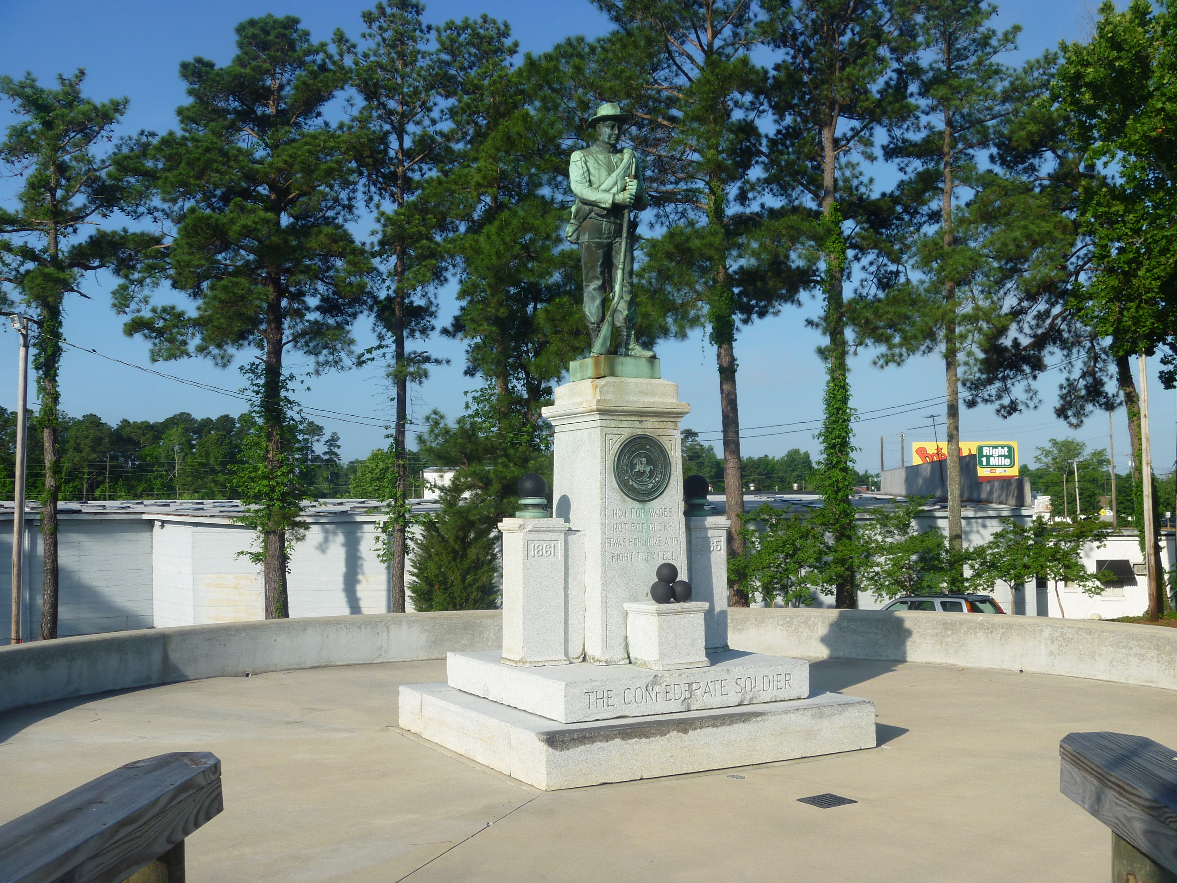
Lenoir County Confederate Memorial
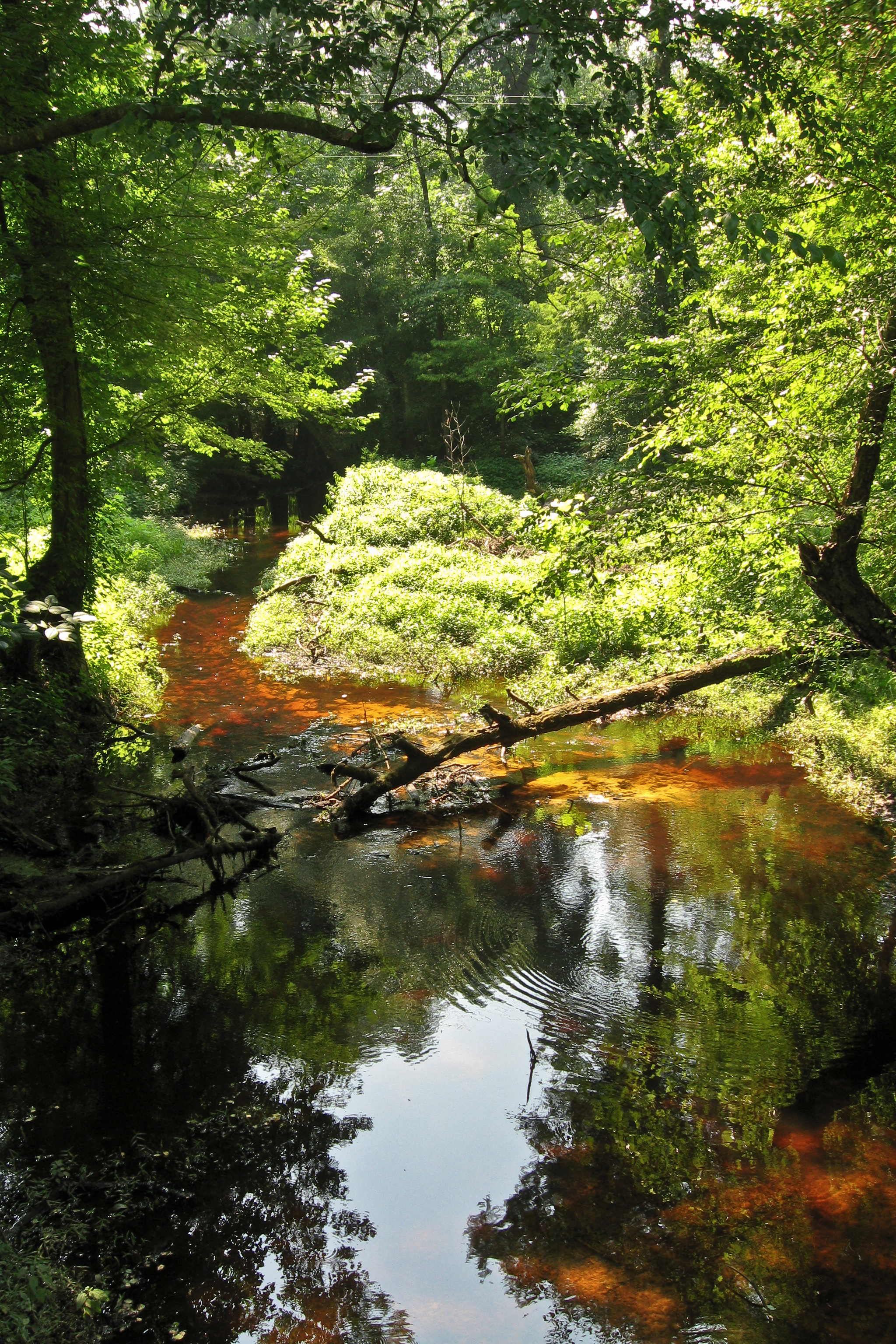
Tuckahoe Creek
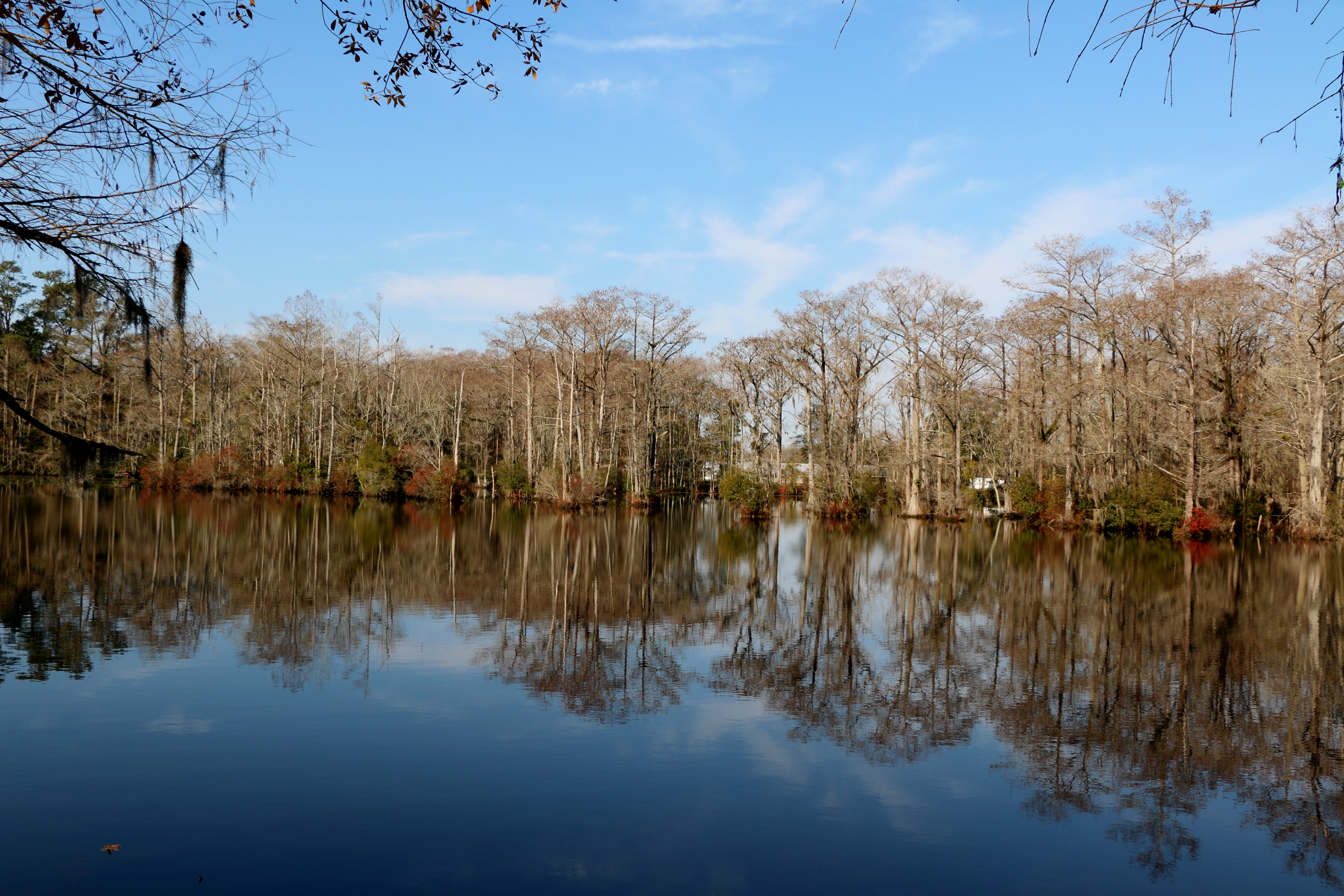
Brocks Mill Pond
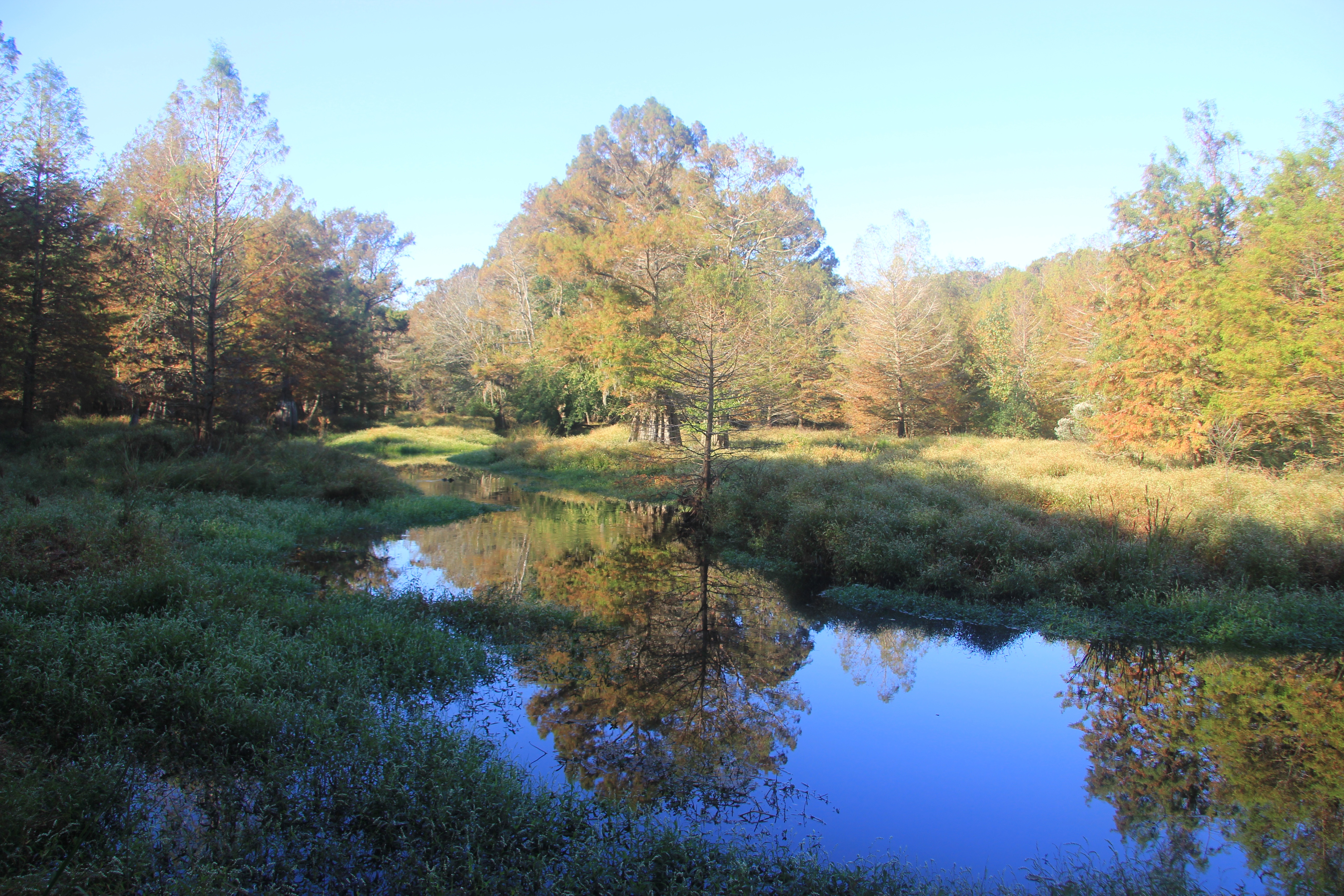
Southwest Creek with fall colors

Brock's Mill Pond
Topographic Map of Middle Rd, Trenton, NC, USA
Find elevation by address:

Places near Middle Rd, Trenton, NC, USA:
4161 Middle Rd
6, Chinquapin
7, Beaver Creek
989 Plantation Rd
520 Middle Rd
4, Cypress Creek
Carter Lane
Woodington
Old School Ln, Trenton, NC, USA
Family Dollar
Trenton
Haiti St, Trenton, NC, USA
205 Weber St
213 Weber St
3, Trenton
271 E Pleasant Hill Rd
Old Hwy 11, Deep Run, NC, USA
High Cottage Lane
E Bayshore Blvd, Jacksonville, NC, USA
Maidstone Drive
Recent Searches:
- Elevation of Corso Fratelli Cairoli, 35, Macerata MC, Italy
- Elevation of Tallevast Rd, Sarasota, FL, USA
- Elevation of 4th St E, Sonoma, CA, USA
- Elevation of Black Hollow Rd, Pennsdale, PA, USA
- Elevation of Oakland Ave, Williamsport, PA, USA
- Elevation of Pedrógão Grande, Portugal
- Elevation of Klee Dr, Martinsburg, WV, USA
- Elevation of Via Roma, Pieranica CR, Italy
- Elevation of Tavkvetili Mountain, Georgia
- Elevation of Hartfords Bluff Cir, Mt Pleasant, SC, USA