Elevation of Carter Lane, Carter Ln, 3, Trenton, NC, USA
Location: United States > North Carolina > Jones County > 3, Trenton > Trenton >
Longitude: -77.365392
Latitude: 35.1057682
Elevation: 14m / 46feet
Barometric Pressure: 101KPa
Elevation Map:
Satellite Map:
Related Photos:
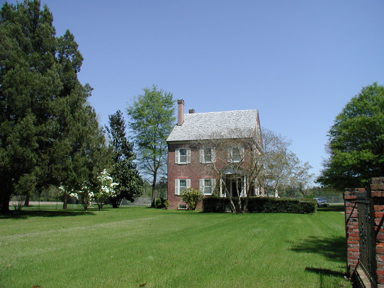
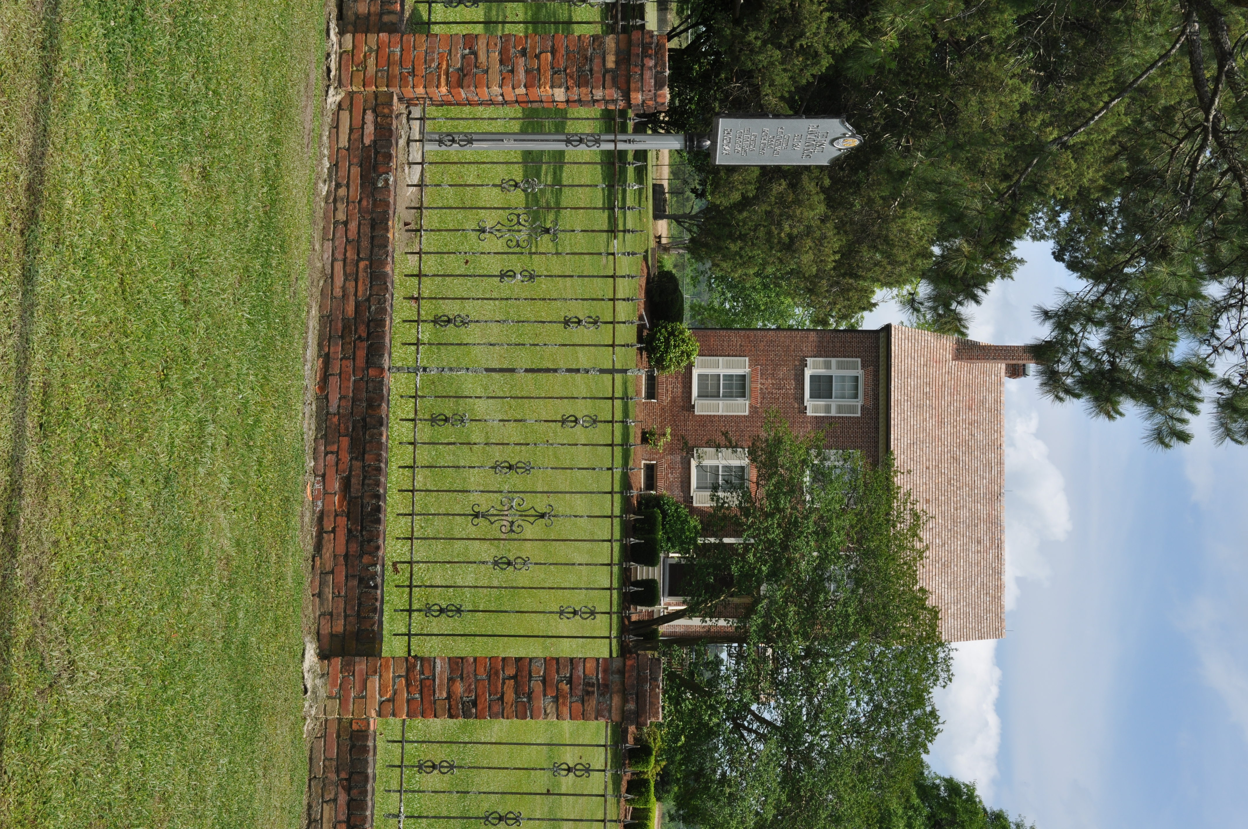
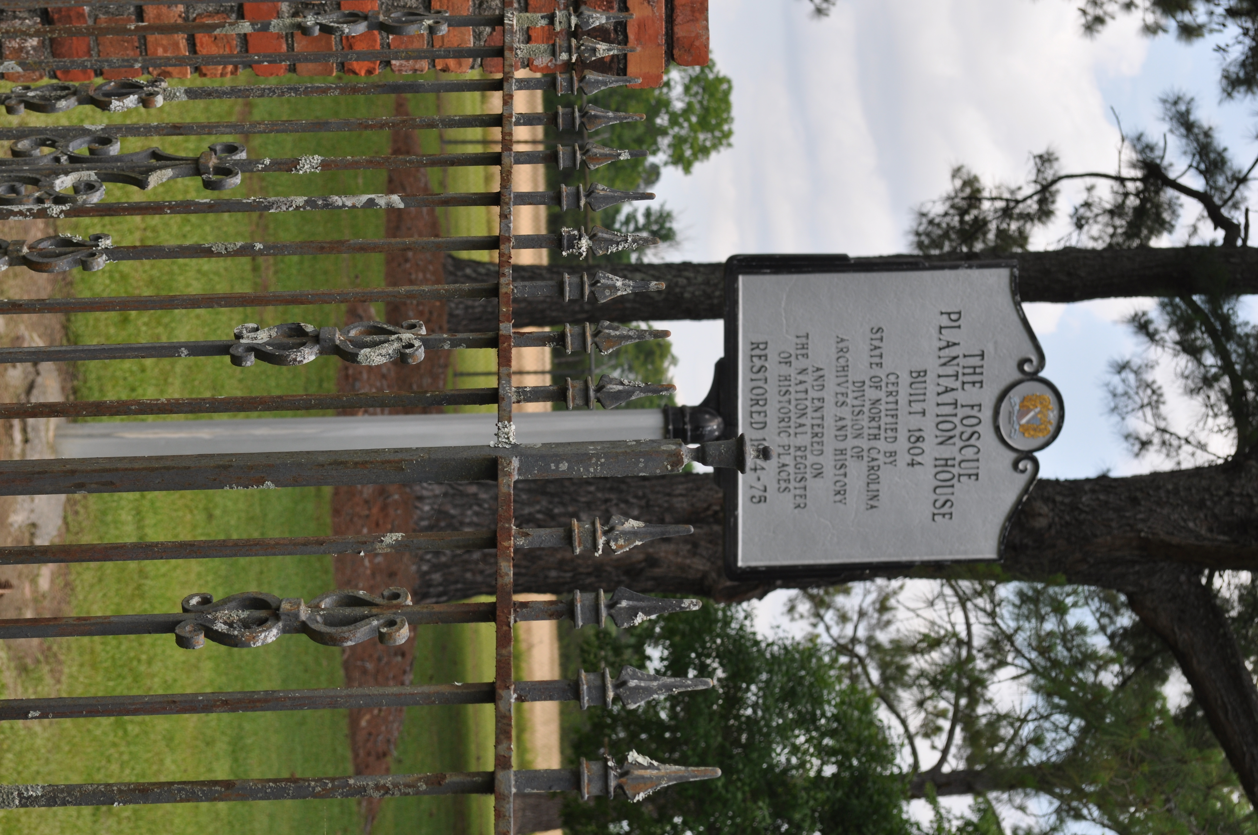
Exterior front view of the Foscue Plantation House

Front View, Jones County Courthouse
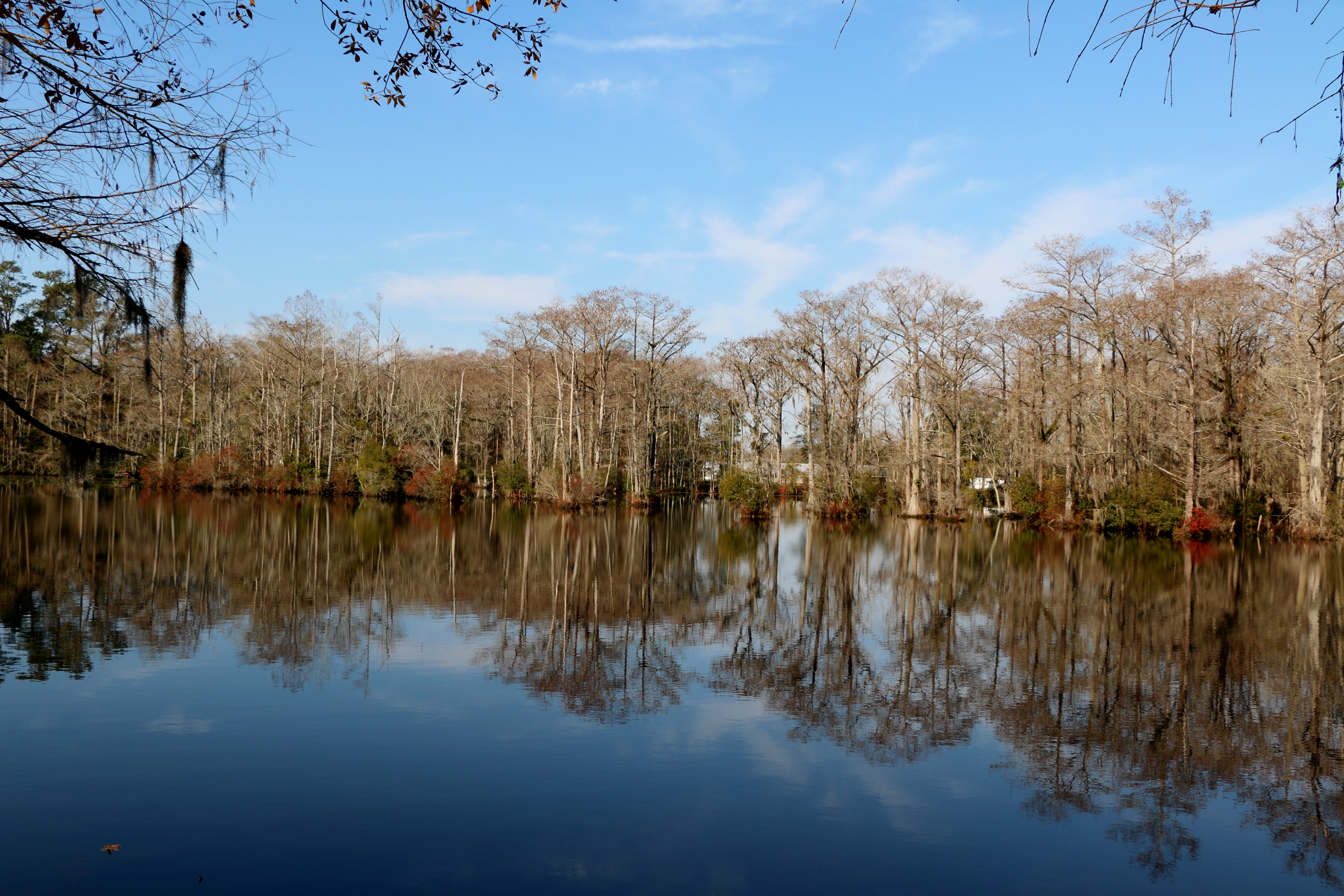
Brocks Mill Pond
Brock's Mill Pond

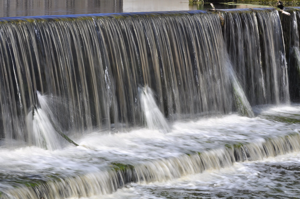
Not too long ago... (Explored-Many Thanks)

20081212_029z-R.jpg
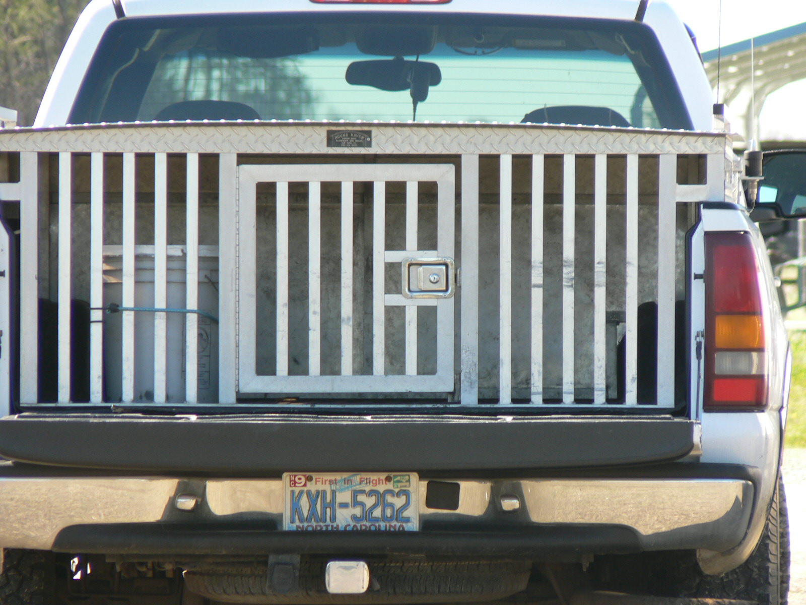
dog box
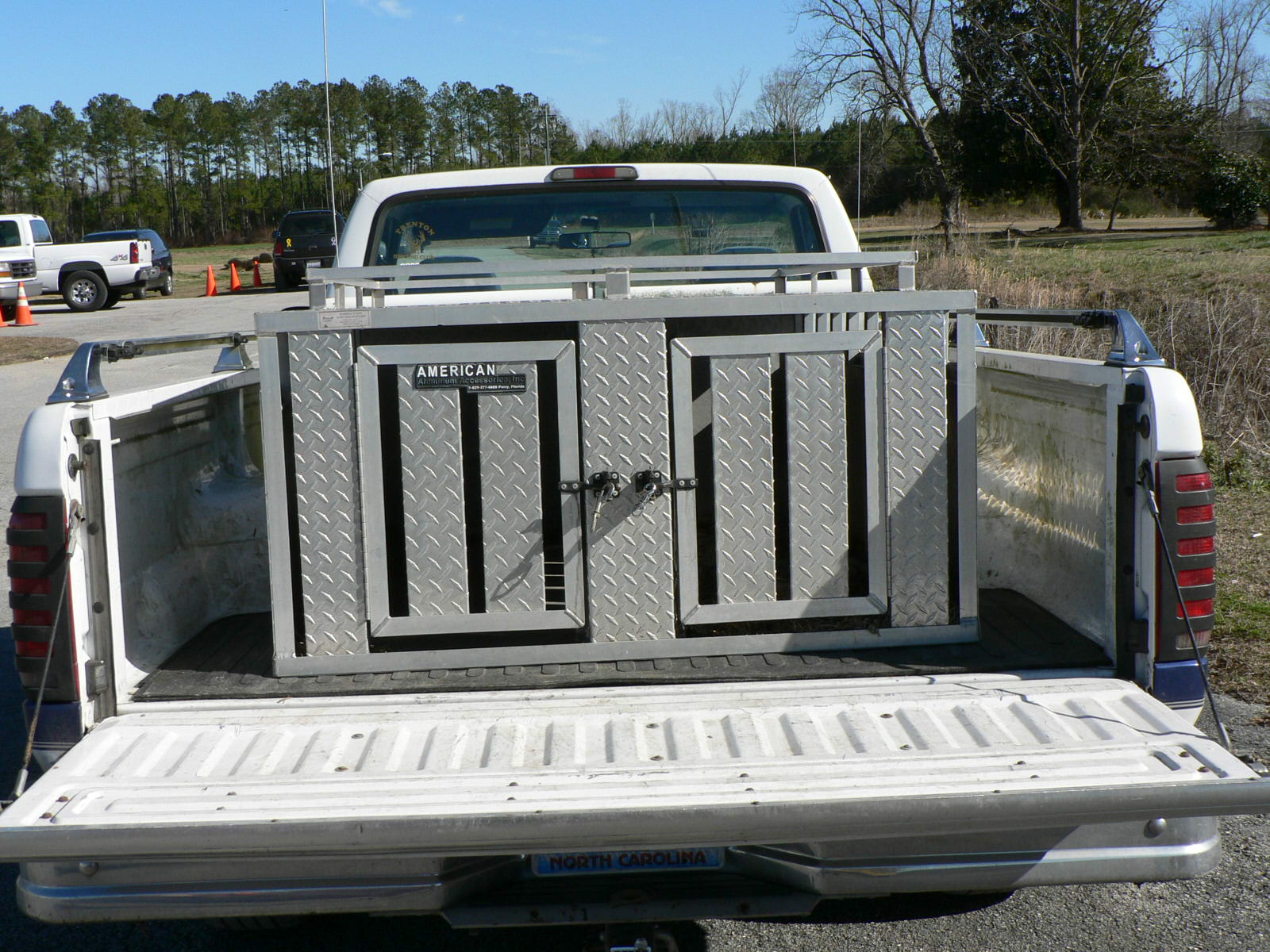
dog box

hat man
DSC_4092 (Copy)
DSC_4098 (Copy)
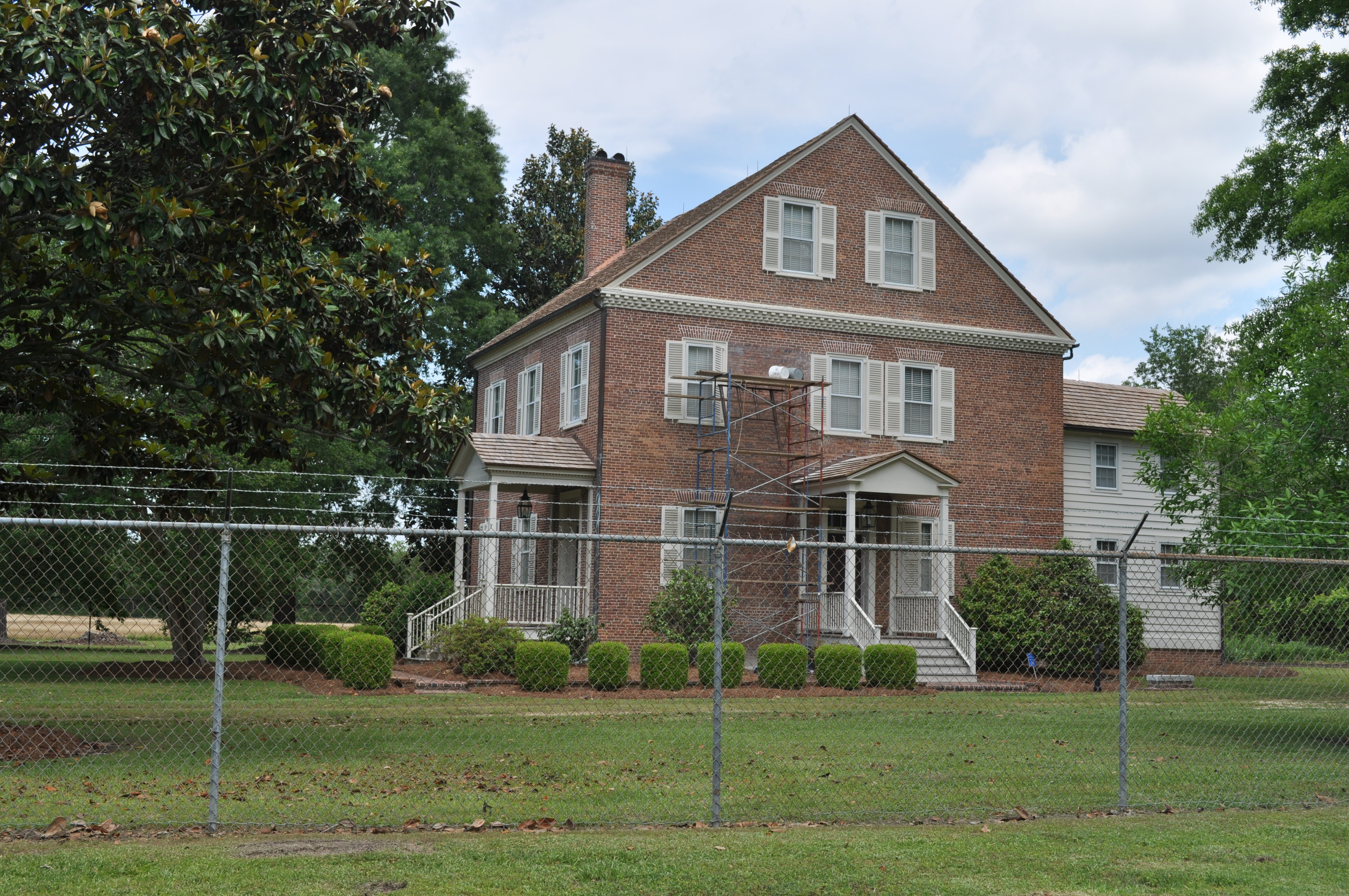
0546 House on Foscue Plantation Img_18700

0545 House on Foscue Plantation Img_18699
0544 House on Foscue Plantation Img_18697
0543 The Foscue PLantation House Img_18698
Topographic Map of Carter Lane, Carter Ln, 3, Trenton, NC, USA
Find elevation by address:

Places near Carter Lane, Carter Ln, 3, Trenton, NC, USA:
Family Dollar
Haiti St, Trenton, NC, USA
Trenton
205 Weber St
213 Weber St
520 Middle Rd
3, Trenton
7, Beaver Creek
989 Plantation Rd
3624 Middle Rd
6, Chinquapin
4161 Middle Rd
4, Cypress Creek
629 Emmett Ln
Old School Ln, Trenton, NC, USA
Hofmann Forest
High Cottage Lane
E Bayshore Blvd, Jacksonville, NC, USA
Woodington
107 Prelude Dr
Recent Searches:
- Elevation of Corso Fratelli Cairoli, 35, Macerata MC, Italy
- Elevation of Tallevast Rd, Sarasota, FL, USA
- Elevation of 4th St E, Sonoma, CA, USA
- Elevation of Black Hollow Rd, Pennsdale, PA, USA
- Elevation of Oakland Ave, Williamsport, PA, USA
- Elevation of Pedrógão Grande, Portugal
- Elevation of Klee Dr, Martinsburg, WV, USA
- Elevation of Via Roma, Pieranica CR, Italy
- Elevation of Tavkvetili Mountain, Georgia
- Elevation of Hartfords Bluff Cir, Mt Pleasant, SC, USA