Elevation of Emmett Ln, Maysville, NC, USA
Location: United States > North Carolina > Onslow County > White Oak > Maysville >
Longitude: -77.34698
Latitude: 34.937489
Elevation: 12m / 39feet
Barometric Pressure: 101KPa
Elevation Map:
Satellite Map:
Related Photos:
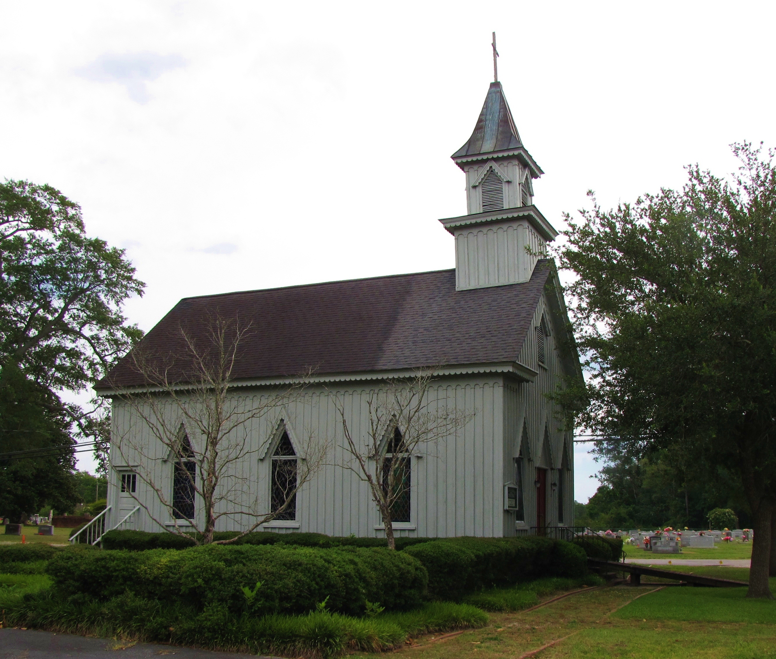
Grace Episcopal Church

To Every Purpose
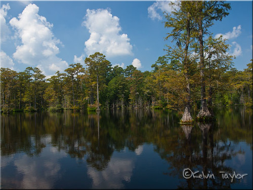
Brock's Mill Pond
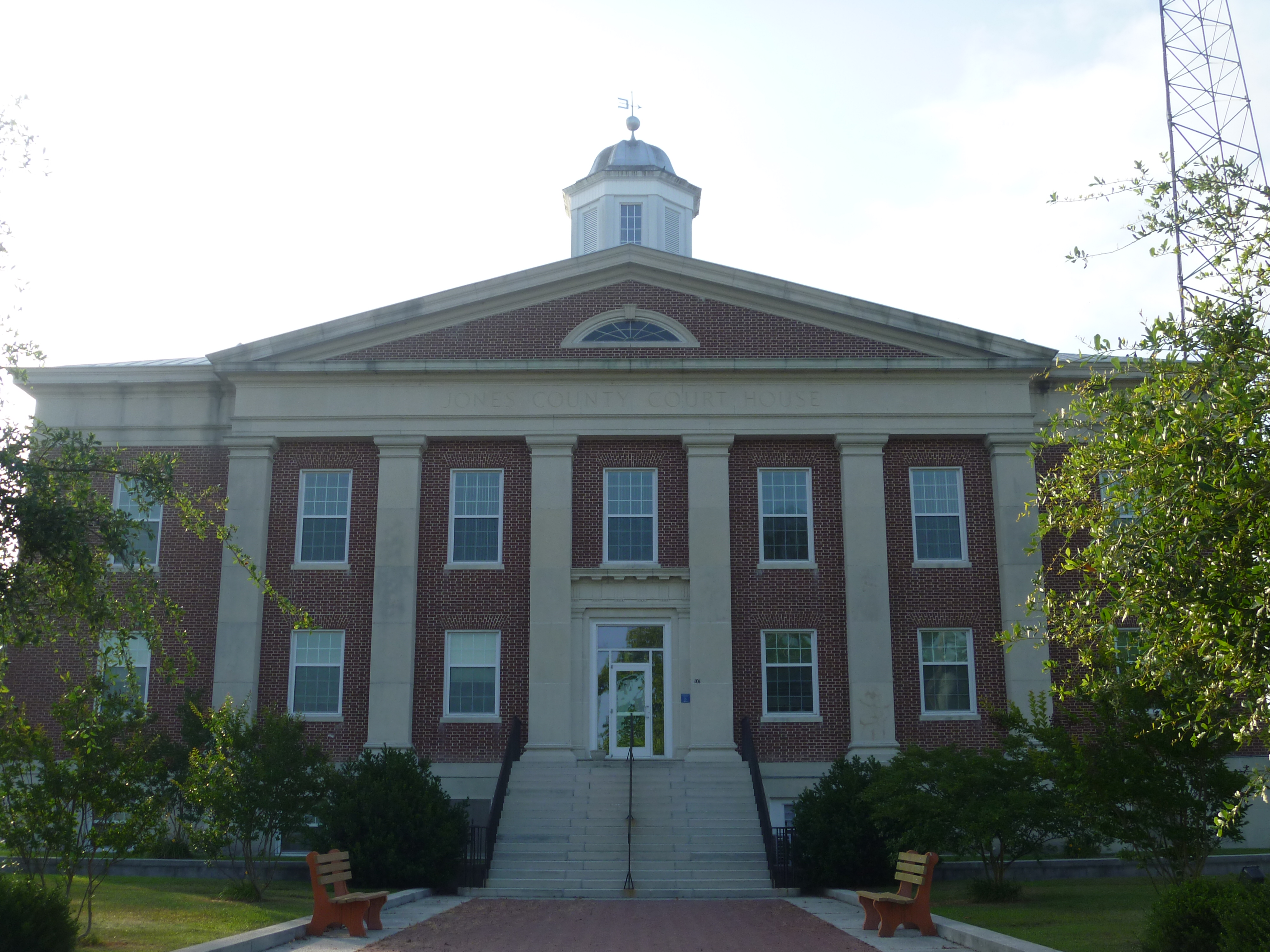
Front View, Jones County Courthouse

Brocks Mill Pond

Strawberries Fields Forever
Brock's Mill Pond
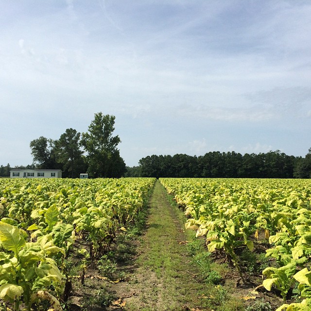
Tobacco Road

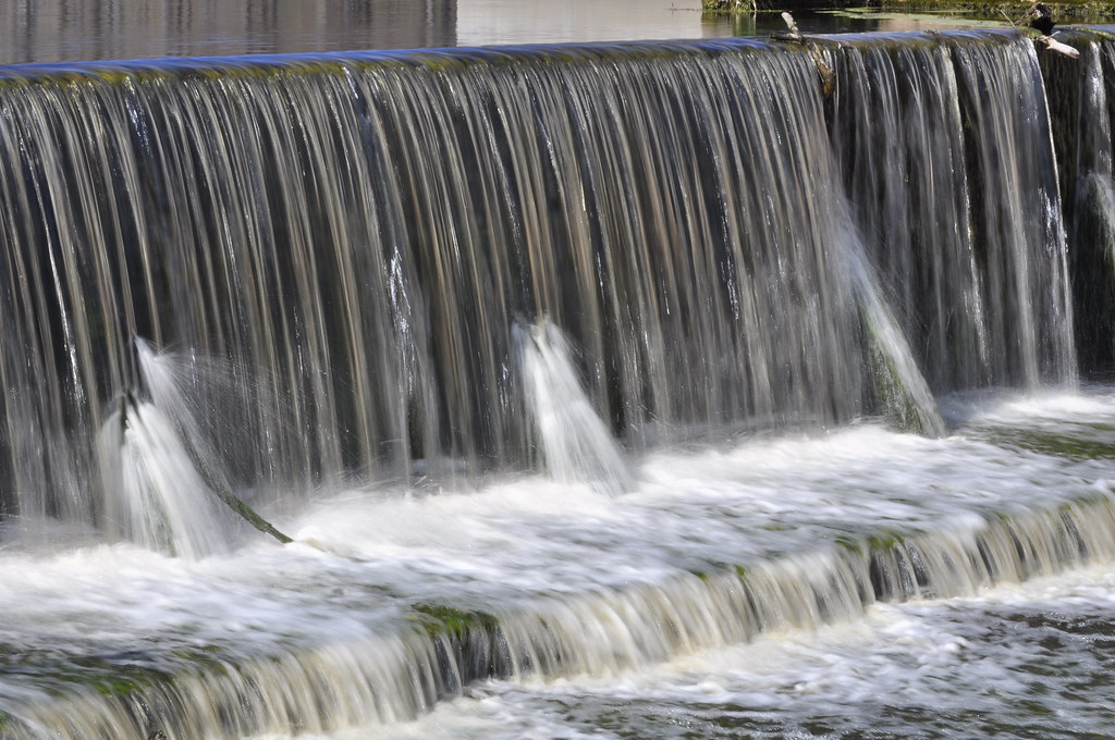
Creek flowing into Trent River

Creek flowing into Trent River
Topographic Map of Emmett Ln, Maysville, NC, USA
Find elevation by address:

Places near Emmett Ln, Maysville, NC, USA:
Hofmann Forest
Jacksonville, NC, USA
801 Solomon Dr
Merin Height Road
112 Glen Cannon Drive
106 Caldwell Loop
Carolina Forest Elementary School
141 Carolina Forest Blvd
306 Streamwood Dr
Mendover Dr, Jacksonville, NC, USA
137 Rustic Ln
Stateside Boulevard
Big Fish Run
100 Juniper Pl
306 Cadenza Lane
619 Par Dr
503 Crissy Dr
107 Prelude Dr
703 Eagle Ct
High Cottage Lane
Recent Searches:
- Elevation of Corso Fratelli Cairoli, 35, Macerata MC, Italy
- Elevation of Tallevast Rd, Sarasota, FL, USA
- Elevation of 4th St E, Sonoma, CA, USA
- Elevation of Black Hollow Rd, Pennsdale, PA, USA
- Elevation of Oakland Ave, Williamsport, PA, USA
- Elevation of Pedrógão Grande, Portugal
- Elevation of Klee Dr, Martinsburg, WV, USA
- Elevation of Via Roma, Pieranica CR, Italy
- Elevation of Tavkvetili Mountain, Georgia
- Elevation of Hartfords Bluff Cir, Mt Pleasant, SC, USA