Elevation of Big Fish Run, Richlands, NC, USA
Location: United States > North Carolina > Onslow County > Richlands > Richlands >
Longitude: -77.477849
Latitude: 34.8426458
Elevation: 9m / 30feet
Barometric Pressure: 101KPa
Elevation Map:
Satellite Map:
Related Photos:
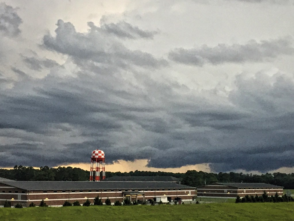
North Carolina

Lightning Bug. Not.
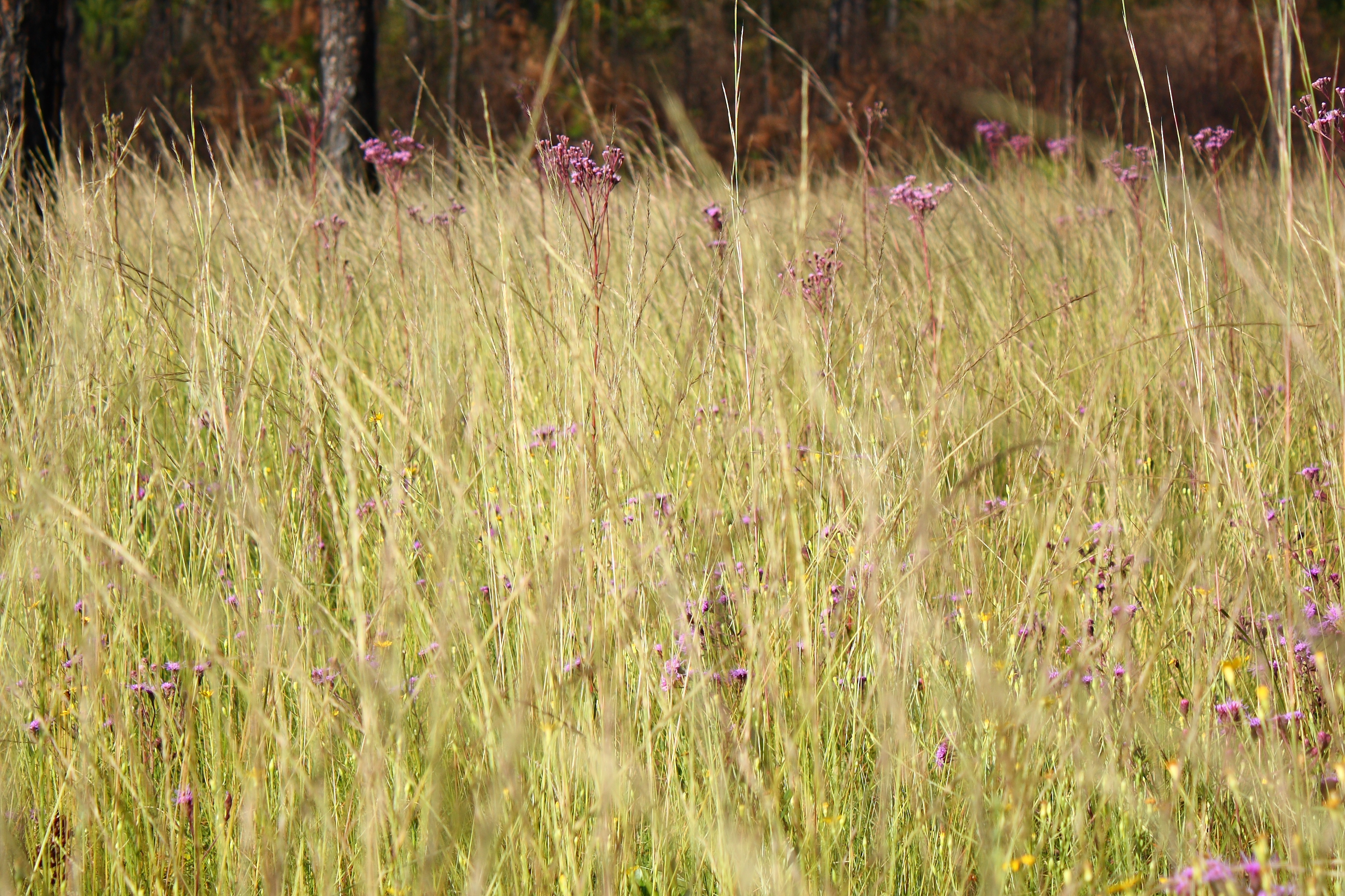
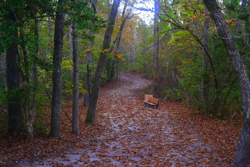
Through the Tall Grass
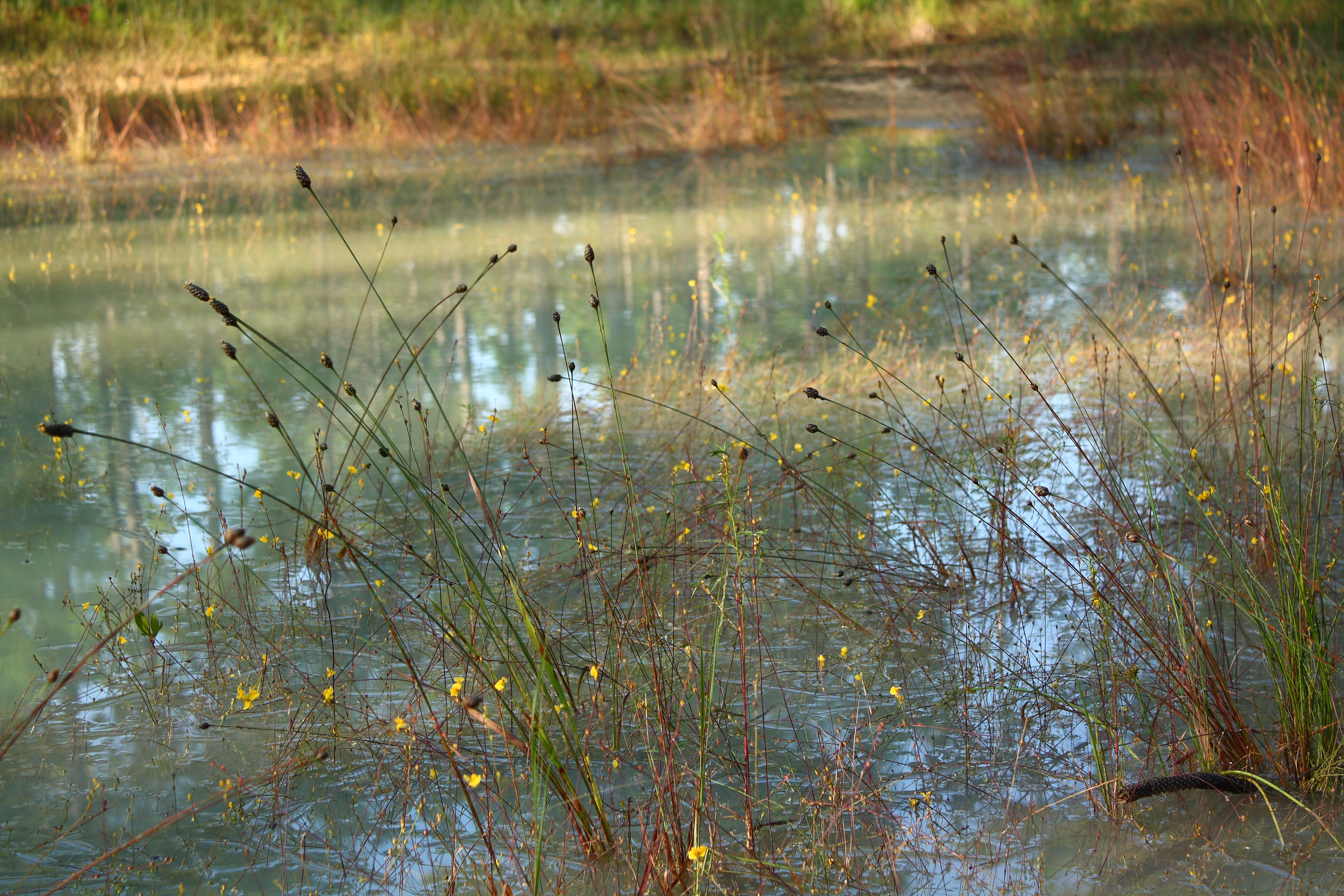
Tangled Banks
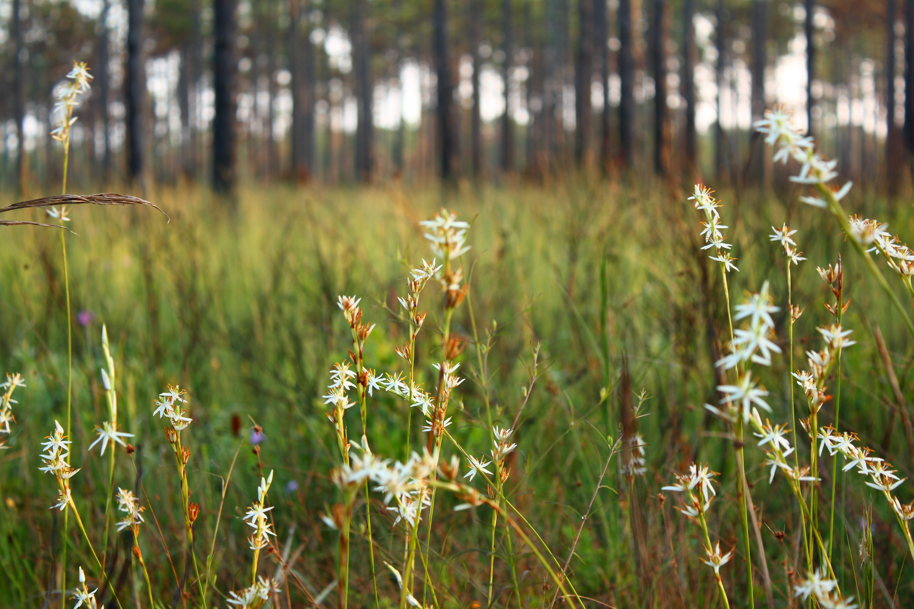
Morning White
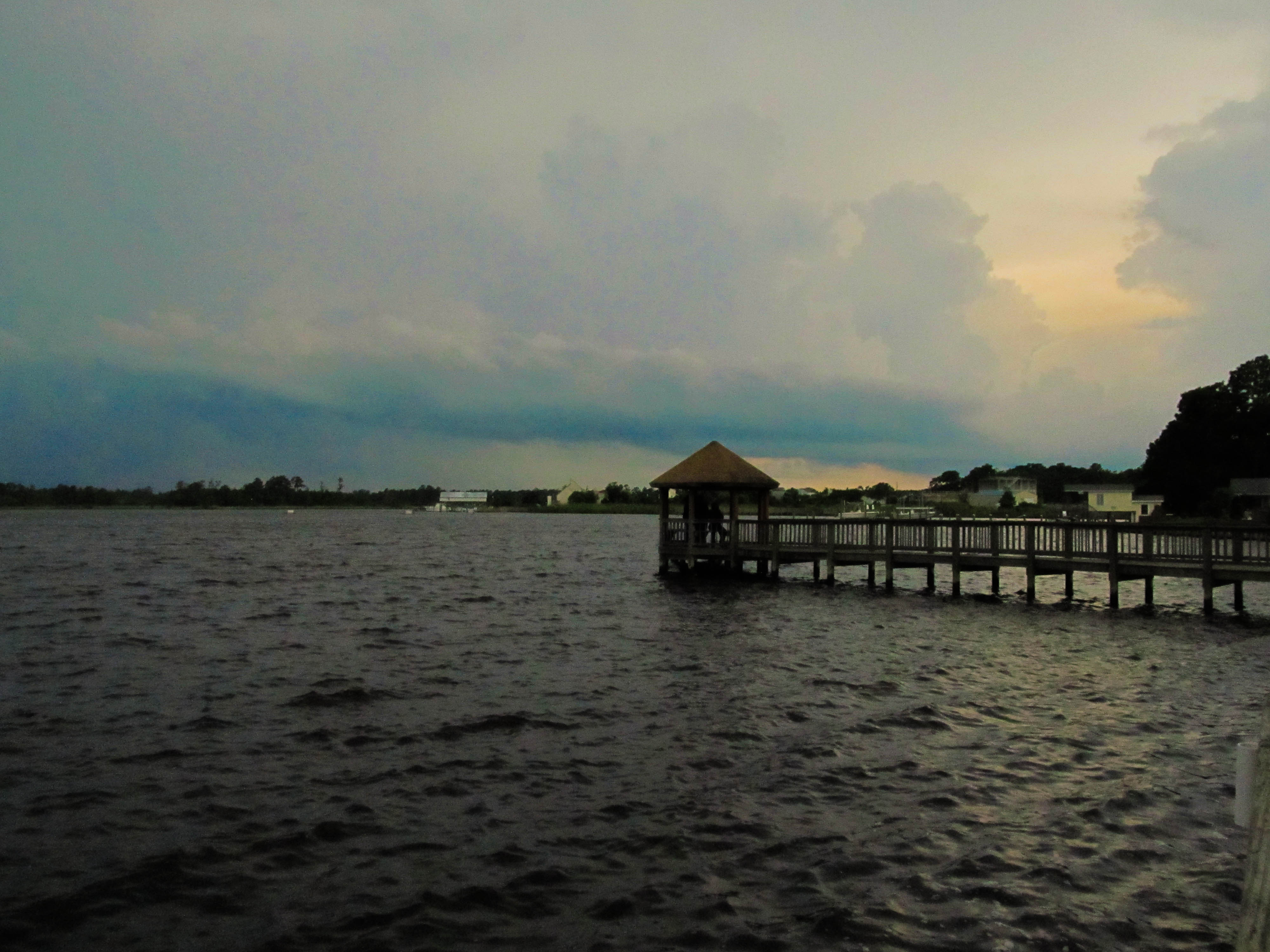
Wilson Bay Gazebo
Media-09-3Wed-0105 050
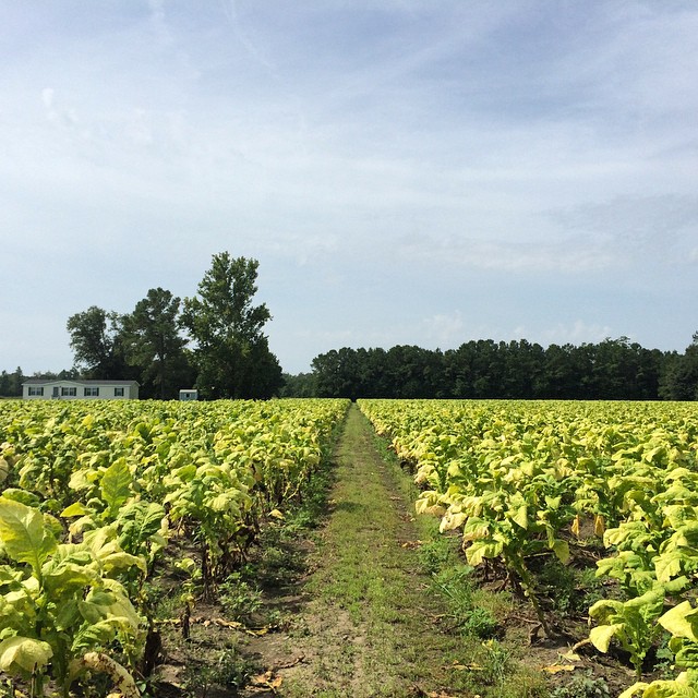
Tobacco Road

Sunrise over soybeans

Media-09-3Wed-1020 019
Oak Hurst

Media-09-3Wed-0100 166

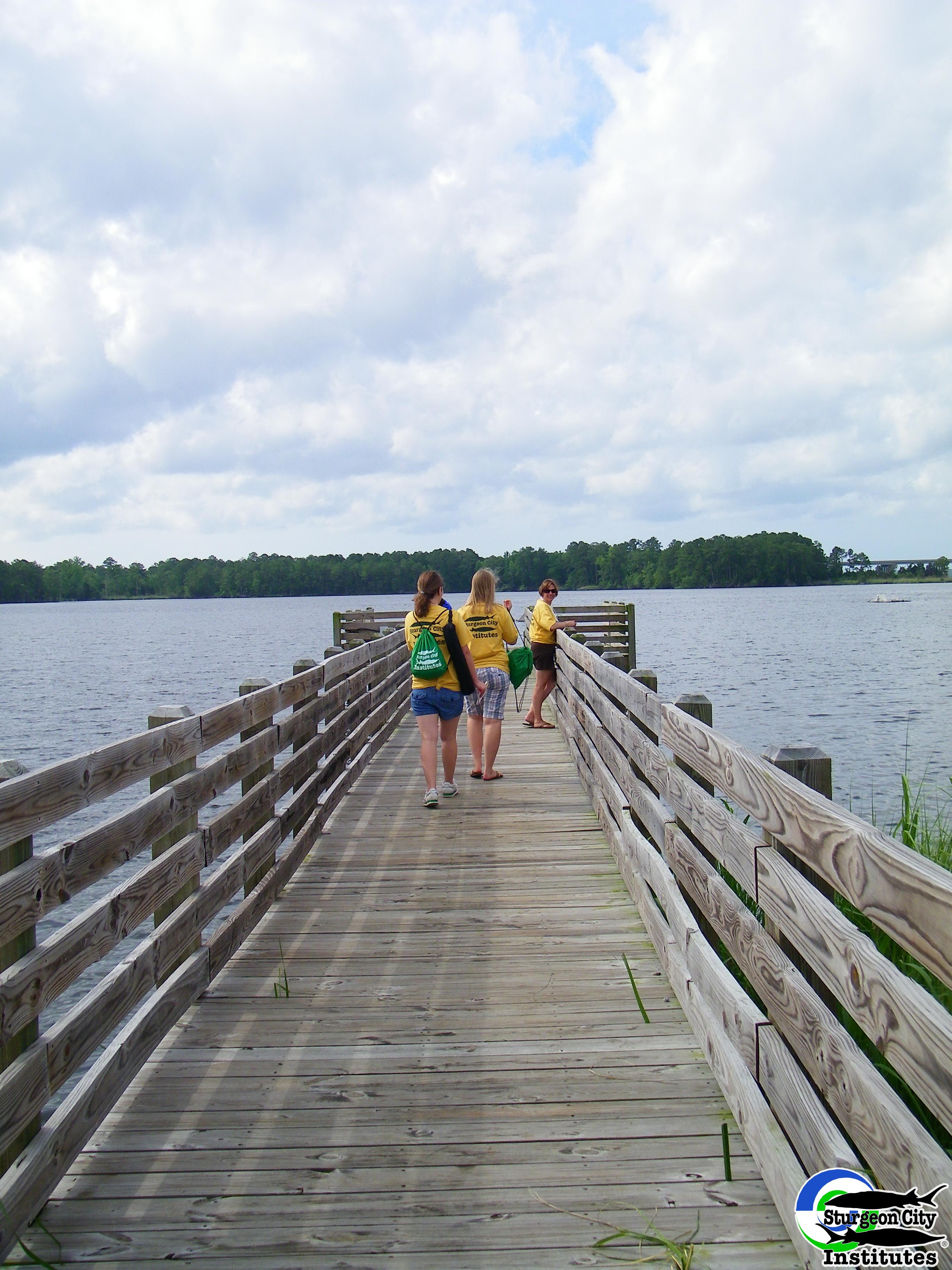
Dock at New River

North Carolina
Jacksonville, NC
Topographic Map of Big Fish Run, Richlands, NC, USA
Find elevation by address:

Places near Big Fish Run, Richlands, NC, USA:
Stateside Boulevard
Mendover Dr, Jacksonville, NC, USA
168 Old Beechtree Ln
619 Par Dr
703 Eagle Ct
100 Juniper Pl
503 Crissy Dr
137 Rustic Ln
127 Bellchase Drive
306 Cadenza Lane
107 Prelude Dr
255 Newbold Rd
John Deere Court
Merin Height Road
112 Glen Cannon Drive
301 Francktown Rd
801 Solomon Dr
Carolina Forest Elementary School
141 Carolina Forest Blvd
Jacksonville, NC, USA
Recent Searches:
- Elevation of Corso Fratelli Cairoli, 35, Macerata MC, Italy
- Elevation of Tallevast Rd, Sarasota, FL, USA
- Elevation of 4th St E, Sonoma, CA, USA
- Elevation of Black Hollow Rd, Pennsdale, PA, USA
- Elevation of Oakland Ave, Williamsport, PA, USA
- Elevation of Pedrógão Grande, Portugal
- Elevation of Klee Dr, Martinsburg, WV, USA
- Elevation of Via Roma, Pieranica CR, Italy
- Elevation of Tavkvetili Mountain, Georgia
- Elevation of Hartfords Bluff Cir, Mt Pleasant, SC, USA