Elevation of E Pleasant Hill Rd, Pink Hill, NC, USA
Location: United States > North Carolina > Lenoir County > Pink Hill > Pink Hill >
Longitude: -77.631577
Latitude: 35.0691118
Elevation: 29m / 95feet
Barometric Pressure: 101KPa
Elevation Map:
Satellite Map:
Related Photos:
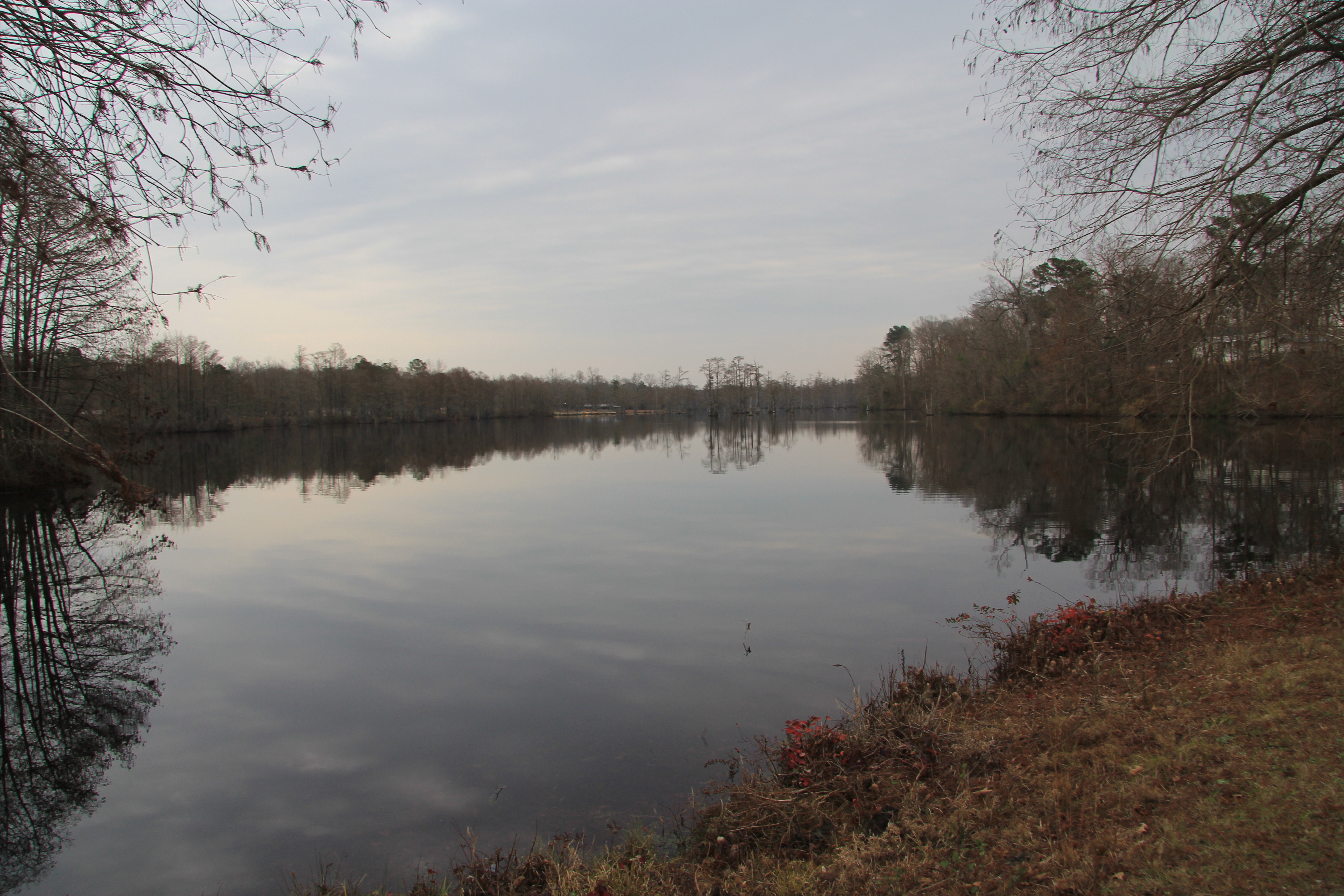
Maxwell's Mill Pond, Pink Hill N.C.
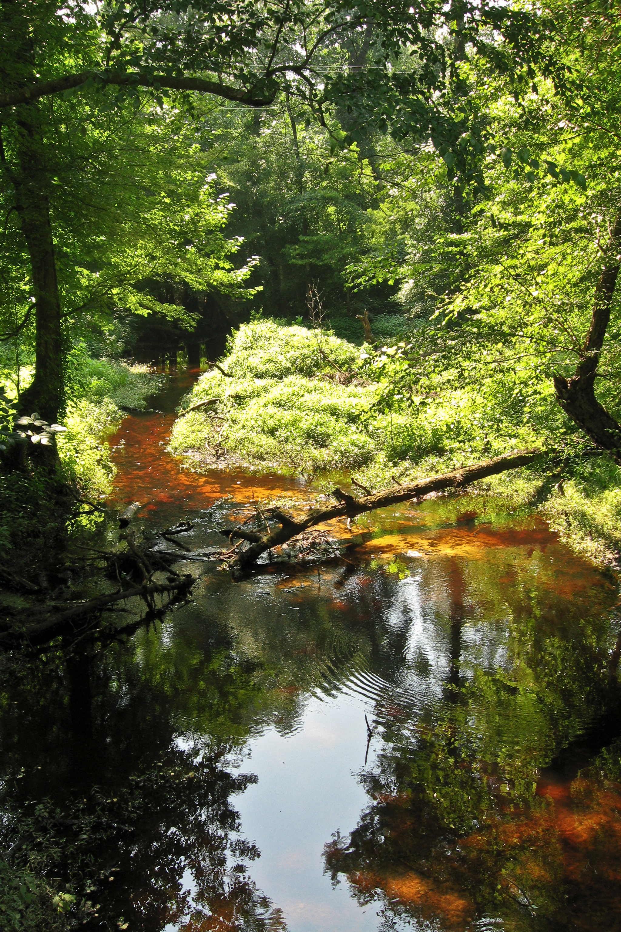
Tuckahoe Creek

SLHS Cheerleaders 2016-2017
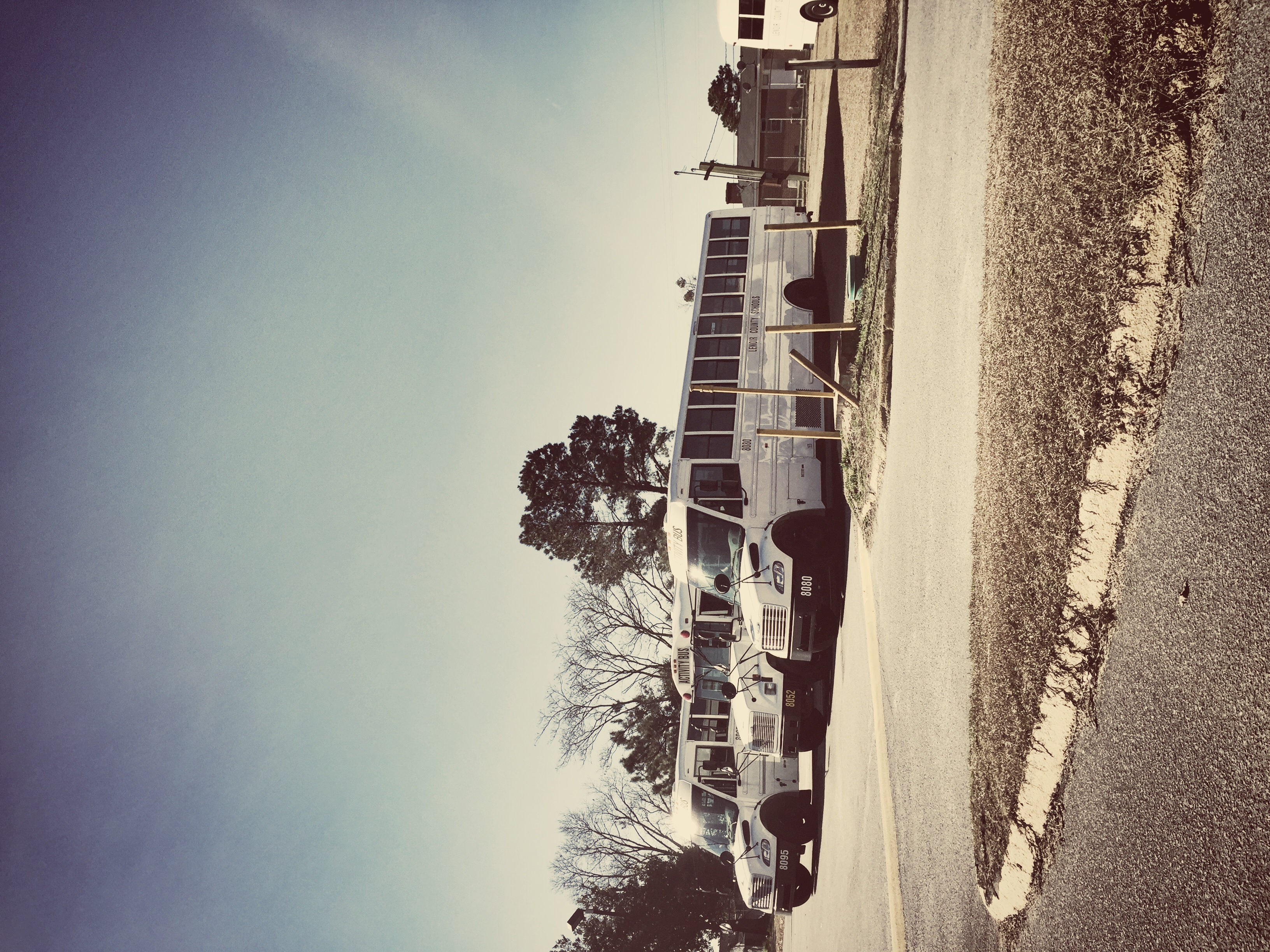
Transportation Division - South Lenoir Correctional institutional

All me
Topographic Map of E Pleasant Hill Rd, Pink Hill, NC, USA
Find elevation by address:

Places near E Pleasant Hill Rd, Pink Hill, NC, USA:
Woodington
Pink Hill
Old Hwy 11, Deep Run, NC, USA
Pink Hill
W Broadway St, Pink Hill, NC, USA
Haw Branch Rd, Richlands, NC, USA
401 Haw Branch Rd
Old School Ln, Trenton, NC, USA
4161 Middle Rd
4, Cypress Creek
6, Chinquapin
109 Steamshovel Rd
319 Shadyrock Path
3624 Middle Rd
989 Plantation Rd
Huffmantown Rd, Richlands, NC, USA
Limestone
Albertson
High Cottage Lane
E Bayshore Blvd, Jacksonville, NC, USA
Recent Searches:
- Elevation of Corso Fratelli Cairoli, 35, Macerata MC, Italy
- Elevation of Tallevast Rd, Sarasota, FL, USA
- Elevation of 4th St E, Sonoma, CA, USA
- Elevation of Black Hollow Rd, Pennsdale, PA, USA
- Elevation of Oakland Ave, Williamsport, PA, USA
- Elevation of Pedrógão Grande, Portugal
- Elevation of Klee Dr, Martinsburg, WV, USA
- Elevation of Via Roma, Pieranica CR, Italy
- Elevation of Tavkvetili Mountain, Georgia
- Elevation of Hartfords Bluff Cir, Mt Pleasant, SC, USA