Elevation of Meyer Ravine Rd, Grass Valley, CA, USA
Location: United States > California > Nevada County > Grass Valley >

Longitude: -121.13634

Latitude: 39.050527

Elevation: -10000m / -32808feet

Barometric Pressure: 295KPa

Elevation Map:

elevation map of Meyer Ravine Rd, Grass Valley, CA, USA

Satellite Map:

Satellite map of Meyer Ravine Rd, Grass Valley, CA, USA
Related Photos:

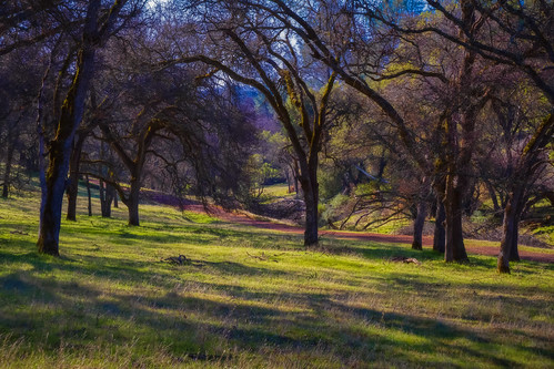
winter northerncalifornia landscape spenceville sierranevadafoothills yubacounty spencevillewildlifearea waldoroad canon7d canon1585mmusmis lightroom4 topazsw
Another Show About Nothing
1928fordtrimotorairplane
IMG_2729 Inside the 1928 Ford Tri-motor
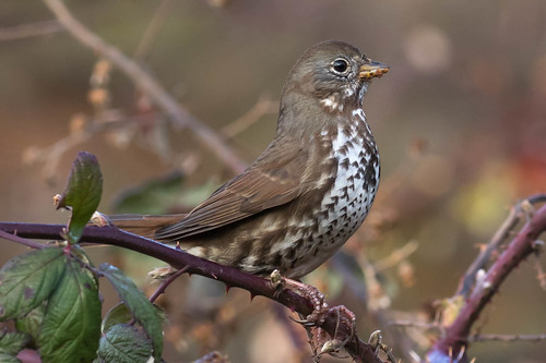
darkhorsegolfcourse nevadacounty fosp passerellaunalaschcensis muddybill foxsparrow
Fox Sparrow
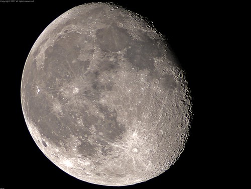
california county sea moon mountain mountains 20d true northerncalifornia night canon fun bay photo site funny lion tranquility luna nasa landing story telescope photograph crater valley planet puma bays apollo lunar gibbous base placer seas mountainlion celestial placercounty stellarvue familygetty
Full Sized Moon and Story 6479
Eastern Views
Trumpeter Swans--Cygnus buccinator
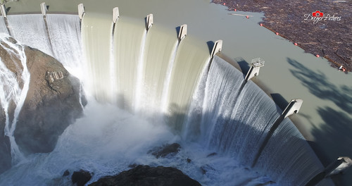
auburn dji outdoor phantom4pro sacramento aerial dreyerpicturescom drone river water california unitedstates us view clementine storm weather
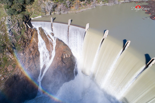
Clementine Dam - California
auburn dji outdoor phantom4pro sacramento aerial airialview dreyerpicturescom drone river water california unitedstates us
Clementine Dam - California
auburn dji outdoor phantom4pro sacramento aerial airialview dreyerpicturescom drone river water california unitedstates us
Clementine Dam - California
aerialphotography clouds california morning shadows blue
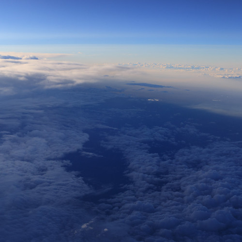
Aerial Views - Clouds above Auburn
california autumn trees sunset sky foothills lake green fall nature water canon oak adobe lee vivitar manfrotto hoya nevadacounty cokin sierranevadafoothills canoneos50d manfrotto190xprobtripod lightroom3 campfarwestreservoir cokinfilterholder photomatixpro4 canonefs1585mmf3556isusmlens adobephotoshopcs5 hoyahdcircularpolarizingfilter adobebridgecs5 leefilter9ndgradpseries vivitarwirelessshutterreleasevivrc200 manfrottobasicpantilthead
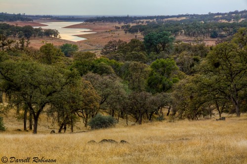
Oak Woodlands
california ca black true mystery night cat dark interestingness scary dangerous darkness topv999 auburn eerie safety explore story mysterious account puma sierranevada topv9999 cougar inky 28135mm mountainlion frightening placercounty sierranevadamountains stalked top500 interestingness304 i500 monsterquest
Stalked by a Mountain Lion
california road trees foothills tree canon hiking sigma places trail adobe dirtroad nevadacounty sierranevadafoothills spencevillewildlifearea canoneos50d otherkeywords lightroom3 zeikos photomatixpro4 adobephotoshopcs5 adobebridgecs5 sigma1770mmf2845dcmacrolens zeikoscpl oldspencevilleroadtrail spencevillerd
Well I've Been Out Walkin'
auburn dji outdoor phantom4pro sacramento aerial airialview dreyerpicturescom drone river water california unitedstates us
Clementine Dam - California
california county canon fence photo rust post lock free chain master photograph placer tarnish slave placercounty enslave 50d 100mm28macro familygetty2010 familygetty
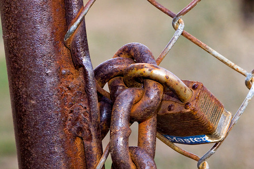
Master 2765
couple hiking auburn foresthillbridge
Couple-2059
railroad train rail
Mountain View
bike canal ride ditch mtb cannondale jamis threewaterfalls applevistawinchestermysterytour
Bridge with a View
female greater aythya scaup marila ebird
Greater Scaup female
tank bunker spencevillewildlifearea fortbeale fortifiedarea40 wwiitraininggrounds
Fields of fire
california landscape sierranevadafoothills lightroom6 windmill topazstudio canon5dmarkiii placercounty auburn canonef24105mmf4lisusm
Down on the Farm
redshoulderedhawk immatureredshoulderedhawk buteolineatus buteo hawk birdofprey rosemarylane nevadacounty california rsha
Red-shouldered Hawk (immature)--Buteo lineatus
trees landscape fuji nevadacounty smokeysky dogbarroad grassvalley fujifilm xt3
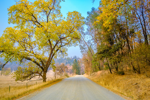
DSCF6874.jpg
california longexposure red lake landscape waterfall scenery dam auburn clementine goldenhour lakeclementine
Lake Clementine Dam
winter northerncalifornia landscape spenceville sierranevadafoothills yubacounty spencevillewildlifearea waldoroad canon7d canon1585mmusmis lightroom4 topazsw
I Daresay, That it Was a Nice Day for a Walk
longexposure winter northerncalifornia drycreek spenceville canon70200mm28l sierranevadafoothills yubacounty spencevillewildlifearea waldoroad canon7d lightroom4 topazsw
Water (HSS)
xt3 fuji fallcolors landscape grassvalley fujifilm nevadacounty
DSCF7288.jpg
velvia landscape filmsimulation fuji jpgedit xt3 barn fujifilm auburn
DSCF0370.jpg
velvia landscape filmsimulation fuji jpgedit xt3 barn fujifilm auburn
DSCF0376.jpg
trees landscape fuji nevadacounty smokeysky dogbarroad grassvalley fujifilm xt3
DSCF6855.jpg
california norcal nevadacounty grassvalley smithvineyard photowalk vineyard
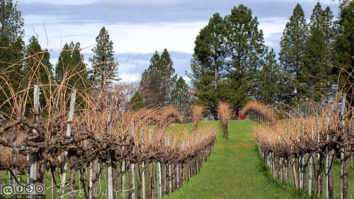
Winemaking in the foothills
california usa green nature water forest river landscape lumix us waterfall unitedstates outdoor auburn panasonic m43 gh4 mirrorless microfourthirds m43ftw dreyerpicturescom
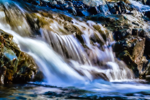
Hidden Falls, Auburn, CA
xt3 landscape waterfall placercounty fuji lake auburn fujifilm reservoir
DSCF1001.jpg
trees landscape fuji nevadacounty smokeysky dogbarroad grassvalley fujifilm xt3
DSCF6860.jpg
california road county street old trip travel trees people usa white house snow tree tourism home nature sign rural canon way landscape wooden highway day driving post image scenic roadtrip scene tourist clean direction lane 7d roadsign welcome narrow cloudscape placer colfax f4l 24105mm
Welcome Lane 6765
california trees nature landscape march hiking trail placercounty 2013 hiddenfallsregionalpark iphone4s uploaded:by=flickrmobile flickriosapp:filter=nofilter
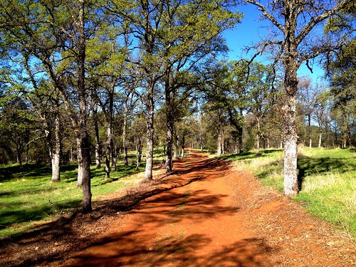
214/365 ~ Hidden Falls Regional Park
trees landscape fuji nevadacounty smokeysky dogbarroad grassvalley fujifilm xt3
DSCF6851.jpg